The best road cycling routes in Duitama
4.7
(166)
1,967
riders
18
rides
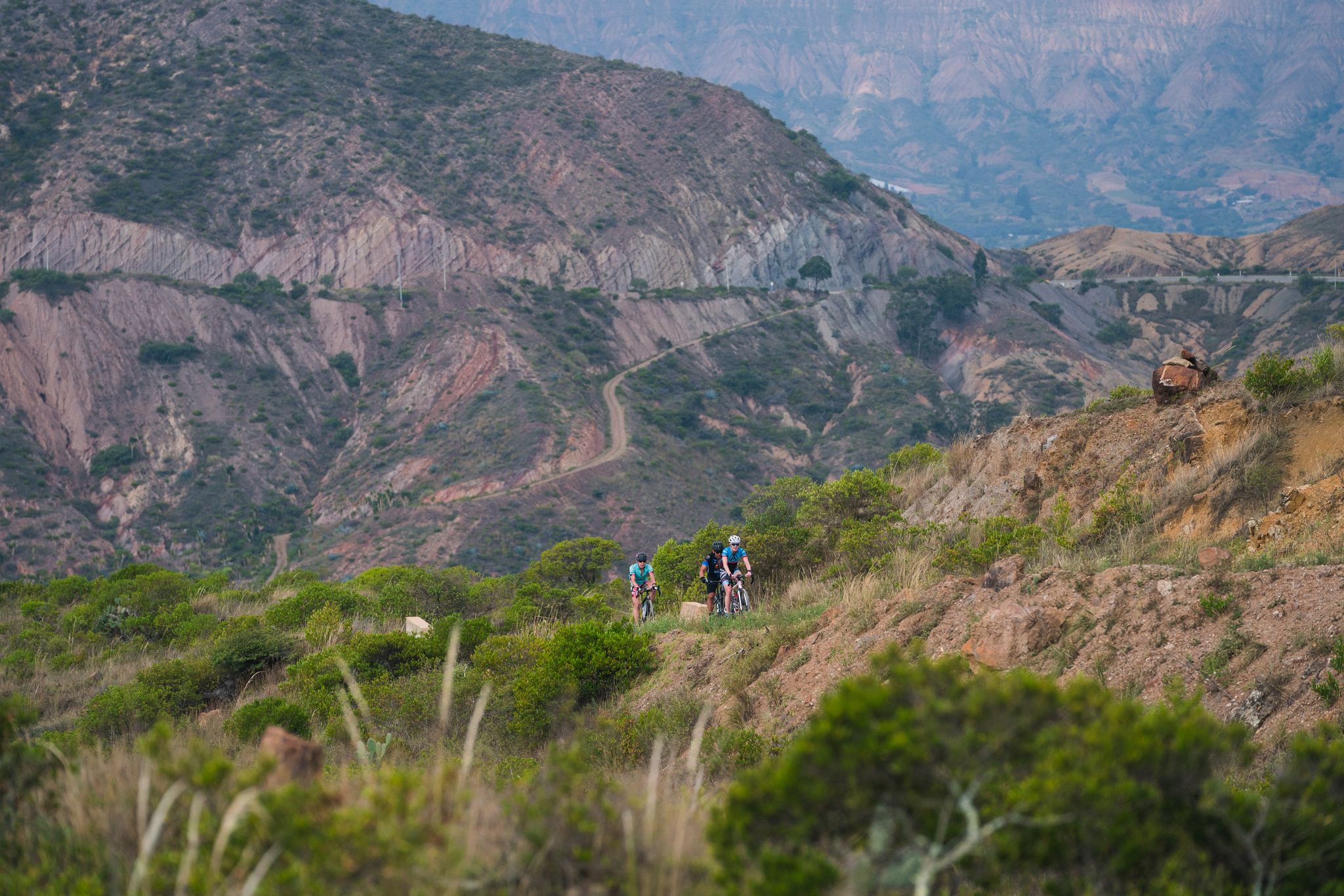
Road cycling in Duitama offers diverse and demanding routes through high-altitude landscapes within the Andean Mountains. The region is characterized by challenging mountain passes and quiet rural roads, providing significant elevation gains. Many routes feature good pavement and relatively low vehicle traffic, making them suitable for focused road cycling. This area is known for its high-altitude terrain, ranging from 2150 to 3250 meters.
Best road cycling routes in Duitama
- The most popular road cycling route is Hostal El Simnal – La Cascajera Pass loop from Cabecera Municipal Duitama, a 27.9 miles (44.9 km) trail that takes 2 hours 17 minutes to complete. This moderate route navigates through the region's characteristic high-altitude terrain.
- Another top favourite among local road cyclists is Alto del Crucero – Lake Tota loop from Duitama, a difficult 76.1 miles (122.5 km) path. This challenging route features substantial elevation gain and passes by Lake Tota, Colombia's largest lake.
- Local road cyclists also love the Hostal El Simnal – Tibasosa Ecological Park loop from Duitama, a 32.2 miles (51.8 km) trail leading through varied terrain, often completed in about 2 hours 29 minutes.
- Road cycling in Duitama is defined by high-altitude mountain passes, quiet rural roads, and views of the Andean landscape. The network offers options for moderate to difficult ability levels, catering to various cycling preferences.
- The routes in Duitama are highly rated by the komoot community with an average score of 4.6 stars from over 140 reviews. More than 1,400 road cyclists have used komoot to explore Duitama's varied terrain.
Last updated: July 1, 2026
4.9
(27)
302
riders
44.9km
02:34
420m
420m
Moderate road ride. Good fitness required. Some segments of this route may be unpaved and difficult to ride.
5.0
(3)
100
riders
121km
07:05
1,650m
1,650m
Hard road ride. Very good fitness required. Some segments of this route may be unpaved and difficult to ride.

Sign up for free
83
riders
51.8km
02:29
270m
270m
Moderate road ride. Good fitness required. Some segments of this route may be unpaved and difficult to ride.
5.0
(5)
59
riders
20.7km
01:06
280m
280m
Moderate road ride. Great for any fitness level. Some segments of this route may be unpaved and difficult to ride.
5.0
(4)
59
riders
31.1km
01:45
500m
500m
Moderate road ride. Good fitness required. Some segments of this route may be unpaved and difficult to ride.
Get access to more routes and recommendations from other explorers.
Sign up for free
Already have an account?
Our route recommendations are based on thousands of hikes, rides, and runs completed by other people on komoot.
Start today with a free account
Your next adventure awaits.
Login or Signup

Other adventures in Duitama

Tips from the Community

I did it by diverting onto an unpaved route from Santa Rosa de Viterbo, a good option if you want to avoid traffic on the main road, however, it is recommended on MTB or Gravel.
0
0

Summit between the municipalities of Santa Rosa de Viterbo and Belén. Elevation close to 3000 meters above sea level
0
0
Stop between the municipalities of Santa Rosa de Viterbo and Cerinza. Elevation 2974 meters above sea level.
0
0
Playground in the Villa del Rosario sector. There are gym type machines.
0
0
Medieval castle-themed park. As of May 2023 it is practically abandoned. Even the playground is very run down.
0
0
Children's playground in the sector of La Culebrera. There are gym type machines.
0
0
Park with castle and passageways. It is very neglected. Almost in ruins. The park for children is very deteriorated. It is located on the edge of the urban case of Tibasosa
0
0
Route that unites Duitama and Paipa by the road to the Vargas reservoir. Although it is a bit narrow, it is completely paved and flat.
0
0
Frequently Asked Questions
How many road cycling routes are available in Duitama?
Duitama offers over 20 road cycling routes, ranging from moderate to difficult, providing diverse options for cyclists looking to explore the high-altitude Andean landscapes.
What kind of terrain and elevation can I expect on Duitama's road cycling routes?
Road cycling in Duitama is characterized by challenging mountain passes and significant elevation gains, with routes typically ranging from 2150 to 3250 meters above sea level. You'll encounter quiet rural roads and well-paved sections, ideal for focused climbing.
Are there any routes suitable for beginners or those looking for an easier ride?
While Duitama is known for its challenging terrain, some moderate routes offer a less strenuous experience. For example, the Inés Becerra – Manuel Rincón loop from Duitama is a moderate 20.7 km route with a manageable elevation gain, suitable for those building their endurance.
What are some notable landmarks or scenic viewpoints I can see along the road cycling routes?
Duitama's routes offer breathtaking views and cultural landmarks. You can cycle past the Curies Summit, a well-known mountain pass, or visit the unique Shrine of the Virgin of the Cyclist. Many routes also provide panoramic vistas of the Andean mountains and páramo ecosystems.
What do other road cyclists enjoy most about road cycling in Duitama?
The komoot community highly rates Duitama's road cycling, with an average score of 4.6 stars from over 140 reviews. Cyclists often praise the challenging mountain passes, the stunning high-altitude scenery, and the relatively low vehicle traffic on many routes, which creates an ideal environment for training and exploration.
Are there any long-distance or particularly challenging routes for experienced cyclists?
Yes, experienced cyclists will find plenty of challenges. The Alto del Crucero – Lake Tota loop from Duitama is a difficult 122.5 km route with substantial elevation gain, passing by Colombia's largest lake. The Alto de Jenesano-Tierra Negra route, though not listed in the guide data, is also highly regarded for its 13-kilometer climb with steep gradients.
What is the best time of year to go road cycling in Duitama?
Duitama's high-altitude climate means conditions can vary. Generally, the region offers good cycling opportunities year-round, but it's always advisable to check local weather forecasts. The dry seasons typically provide more stable conditions for tackling the mountain passes.
Are there any family-friendly road cycling options in Duitama?
While many routes feature significant climbs, some moderate options can be enjoyed by families with older children or those comfortable with some elevation. Look for routes with shorter distances and less extreme gradients, such as the Inés Becerra – Manuel Rincón loop from Duitama, which offers a taste of the region without excessive difficulty.
Where can I find parking or access public transport to reach the cycling routes?
Duitama serves as a central hub, making it convenient to access many routes. While specific parking facilities for cyclists are not detailed, parking is generally available within Duitama. Public transport options to Duitama are also available, connecting it to other towns in the Boyacá department.
Are there any routes that pass by Lake Tota?
Yes, the challenging Alto del Crucero – Lake Tota loop from Duitama is a difficult 122.5 km route that takes you past Lake Tota, Colombia's largest lake, offering stunning views of its famous white sand beach (Playa Blanca).
Can I find places to eat or stay that are cyclist-friendly in Duitama?
Duitama, being a significant cycling destination, offers various accommodations and eateries. While specific cyclist-friendly establishments are not listed, you can expect to find hotels and restaurants that cater to visitors, many of whom are drawn to the region for its outdoor activities, including cycling.
What are some other natural attractions near Duitama that I could explore?
Beyond cycling, Duitama is close to several natural wonders. You can visit Curies Summit for panoramic views, or explore the broader Andean landscape. Puerta de Cuche is another mountain pass offering scenic beauty.
Are there any routes that offer a good mix of cultural sights and cycling?
Many routes start or pass near Duitama, allowing you to combine cycling with cultural exploration. You could cycle a route like the Hostal El Simnal – Tibasosa Ecological Park loop from Duitama and then explore Duitama's Monument to the Lancers of the Vargas Swamp or the architectural charm of Pueblito Boyacense.
Most popular attractions in Duitama

Get inspired with the komoot mobile app


Explore more
Browse the best Road cycling routes in other regions.
