The best traffic-free bike rides in Duitama
4.7
(166)
1,967
riders
4
rides
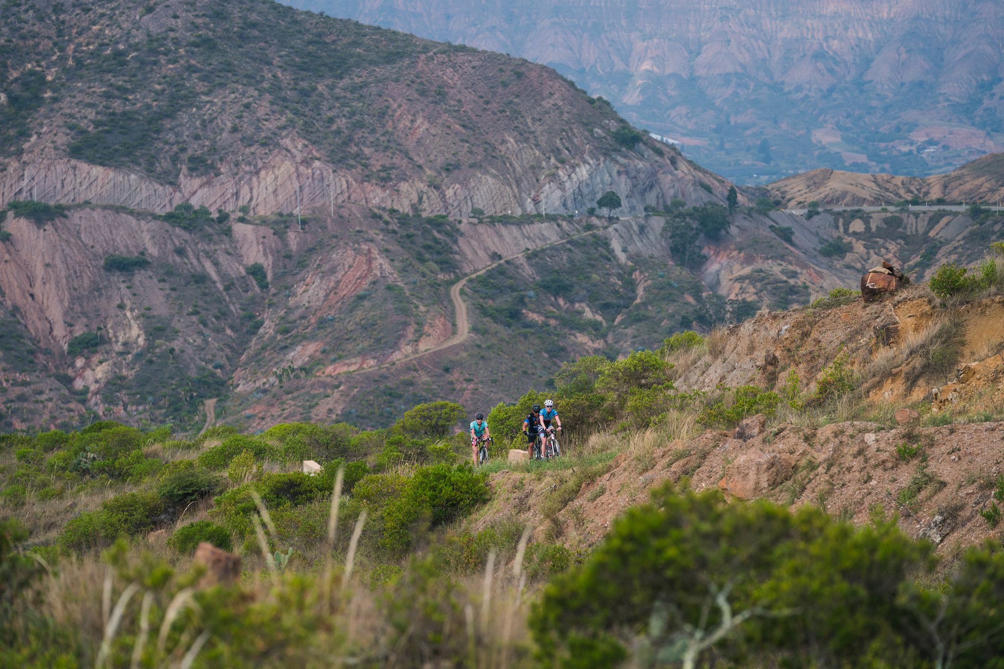
No traffic road cycling routes in Duitama offer a diverse and challenging experience within the Colombian Andes. The region is characterized by high-altitude Andean mountain scenery, featuring valleys, demanding climbs, and varied ecosystems including páramo. Cyclists can expect significant elevation changes, with routes starting from Duitama's 2,500-meter altitude and ascending to mountain passes reaching up to 2,900 meters. This varied topography provides a range of road cycling experiences, from long climbs to exhilarating descents on mostly paved surfaces.
Best no…
Last updated: July 8, 2026
4.4
(9)
54
riders
22.8km
01:25
580m
580m
Moderate road ride. Good fitness required. Mostly well-paved surfaces and easy to ride.
5.0
(1)
23
riders
49.6km
04:00
1,240m
1,240m
Hard road ride. Very good fitness required. Some segments of this route may be unpaved and difficult to ride.

Sign up for free
4.7
(3)
20
riders
35.0km
02:06
670m
670m
Moderate road ride. Good fitness required. Some segments of this route may be unpaved and difficult to ride.
4
riders
23.4km
01:33
590m
590m
Moderate road ride. Good fitness required. Mostly well-paved surfaces and easy to ride.
Our route recommendations are based on thousands of hikes, rides, and runs completed by other people on komoot.
Start today with a free account
Your next adventure awaits.
Login or Signup
Popular around Duitama

Other adventures in Duitama

Tips from the Community


Steep climb in Duitama, this climb is famous because it was part of the circuit for 1995 UCI Road World Championships. It is frenquently featured in Gran Fondos.
0
0
Narrow road that takes you from Tobasía to Santa Rosa de Viterbo, this climb is about 6.7km at 6% gradient, the view (like most climbs in the zone) is beautiful. The descent to Santa Rosa is also very pleasing. You will need to go back to Tobasía or Santa Rosa to find food.
2
0
Frequently Asked Questions
How many traffic-free road cycling routes are available in Duitama?
There are 4 dedicated traffic-free road cycling routes in Duitama featured in this guide. These routes offer a mix of moderate and difficult challenges, allowing you to enjoy the region's stunning landscapes away from busy roads.
What kind of terrain and elevation can I expect on Duitama's traffic-free road cycling routes?
Duitama, situated at 2,500 meters in the Andes, offers diverse terrain with significant elevation changes. You can expect routes with substantial climbs, often reaching mountain passes like Curíes Summit (2,900m) and Alto de Tobasía. The varied topography provides both demanding ascents and exhilarating descents, making it ideal for altitude training and challenging rides.
Are there options for both moderate and challenging traffic-free road cycling in Duitama?
Yes, the routes cater to various fitness levels. This guide includes 2 moderate routes and 2 difficult routes. For example, the KM 8 Alto de Santa Ana loop from Cabecera Municipal Duitama is a moderate option, while the Alto del Portachuelo – Alto de Tobasía loop from Paipa presents a significant challenge with over 2,000 meters of ascent.
What are some notable landmarks or viewpoints I might encounter on these routes?
Along the traffic-free routes, you can experience several points of interest. You might pass by the Curies Summit, a popular mountain pass offering panoramic views, or the unique Shrine of the Virgin of the Cyclist. The routes also offer glimpses of the stunning Andean mountain scenery and high-altitude ecosystems.
Are there any circular traffic-free road cycling routes in Duitama?
Yes, all the routes listed in this guide are circular loops, designed to bring you back to your starting point. Examples include the KM 8 Alto de Santa Ana loop from Cabecera Municipal Duitama and the Manuel Rincón – Alto de Tobasía loop from Duitama, offering convenient round trips.
What is the best time of year to enjoy traffic-free road cycling in Duitama?
Duitama's climate allows for year-round riding. However, the dry season, typically from December to March and July to August, generally offers the most favorable weather conditions for road cycling, with less rain and more sunshine, making for more comfortable rides.
Are the traffic-free road cycling routes in Duitama suitable for families?
While Duitama offers beautiful scenery, many of its road cycling routes feature significant elevation gains and challenging terrain due to its Andean location. The routes in this guide are rated moderate to difficult. Families with younger children or those seeking very gentle rides might find these routes demanding. It's best suited for families with experienced cyclists.
Can I bring my dog on these traffic-free road cycling routes?
These routes are primarily designed for road cycling on paved surfaces. While there are no specific restrictions against dogs, it's generally not recommended to bring dogs on road cycling routes, especially those with significant distances and elevation, for their safety and comfort. Consider local parks or dedicated walking trails if you wish to bring your dog.
What do other road cyclists enjoy the most about road cycling in Duitama?
The area is highly rated by the komoot community, with an average score of 4.7 stars. Reviewers often praise the challenging climbs, the breathtaking Andean mountain scenery, and the opportunity for high-altitude training. The local cycling culture and consideration from drivers also contribute to a positive experience.
Is parking available near the starting points of these traffic-free road cycling routes?
Parking availability can vary depending on the specific starting point. For routes beginning in Duitama or Paipa, you can typically find parking within the towns, though it might be street parking or in designated public areas. It's advisable to check local parking regulations upon arrival.
Are there cafes or places to stop for refreshments along the traffic-free road cycling routes?
While the routes themselves focus on traffic-free sections, many pass through or near small towns and villages where you can find local cafes, shops, or restaurants to refuel. It's always a good idea to carry sufficient water and snacks, especially on longer or more remote sections.
What is the typical surface quality of these traffic-free road cycling routes?
The routes are selected for road cycling, meaning they primarily consist of paved surfaces. However, given the mountainous terrain, some sections might have varying pavement quality or occasionally include short unpaved stretches, adding to the adventure for those seeking mixed-surface rides.
Most popular attractions in Duitama

Get inspired with the komoot mobile app


Explore more
Browse the best Road cycling routes in other regions.
