Top 7 Mountain Passes in Boyacá
Best mountain passes in Boyacá, a department in Colombia's Eastern Cordillera, feature diverse mountainous terrain. The region offers high-Andean trails and páramo landscapes. These passes attract cyclists and hikers, providing challenging routes and significant natural features. Boyacá's mountain passes are known for their varied elevations and historical significance.
Best mountain passes in Boyacá
- The most popular mountain passes is Curies Summit, a mountain pass that is a mythical port for road and mountain cyclists. It reaches an elevation of…
Last updated: July 1, 2026
Curies Summit
Highlight • Mountain Pass
Translated by Google •
Tip by

Puerta de Cuche
Highlight • Mountain Pass
Translated by Google •
Tip by
Sign up now to discover places like this
Get recommendations on the best single tracks, peaks, & plenty of other exciting outdoor places.
Sign up for free
Alto de Tobasía
Highlight • Mountain Pass
Translated by Google •
Tip by
Alto del Portachuelo
Highlight • Mountain Pass
Translated by Google •
Tip by
Alto de Boca de Monte Viewpoint
Highlight • Viewpoint
Translated by Google •
Tip by

Alto de Santa Ana (Charalá Road)
Highlight • Mountain Pass
Translated by Google •
Tip by
Buenavista–Coper Mountain Pass
Highlight • Mountain Pass
Translated by Google •
Tip by
Alto del Páramo de La Rusia (Duitama–El Encino Road)
Highlight • Mountain Pass
Translated by Google •
Tip by
Start today with a free account
Your next adventure awaits.
Login or Signup
Popular around Boyacá

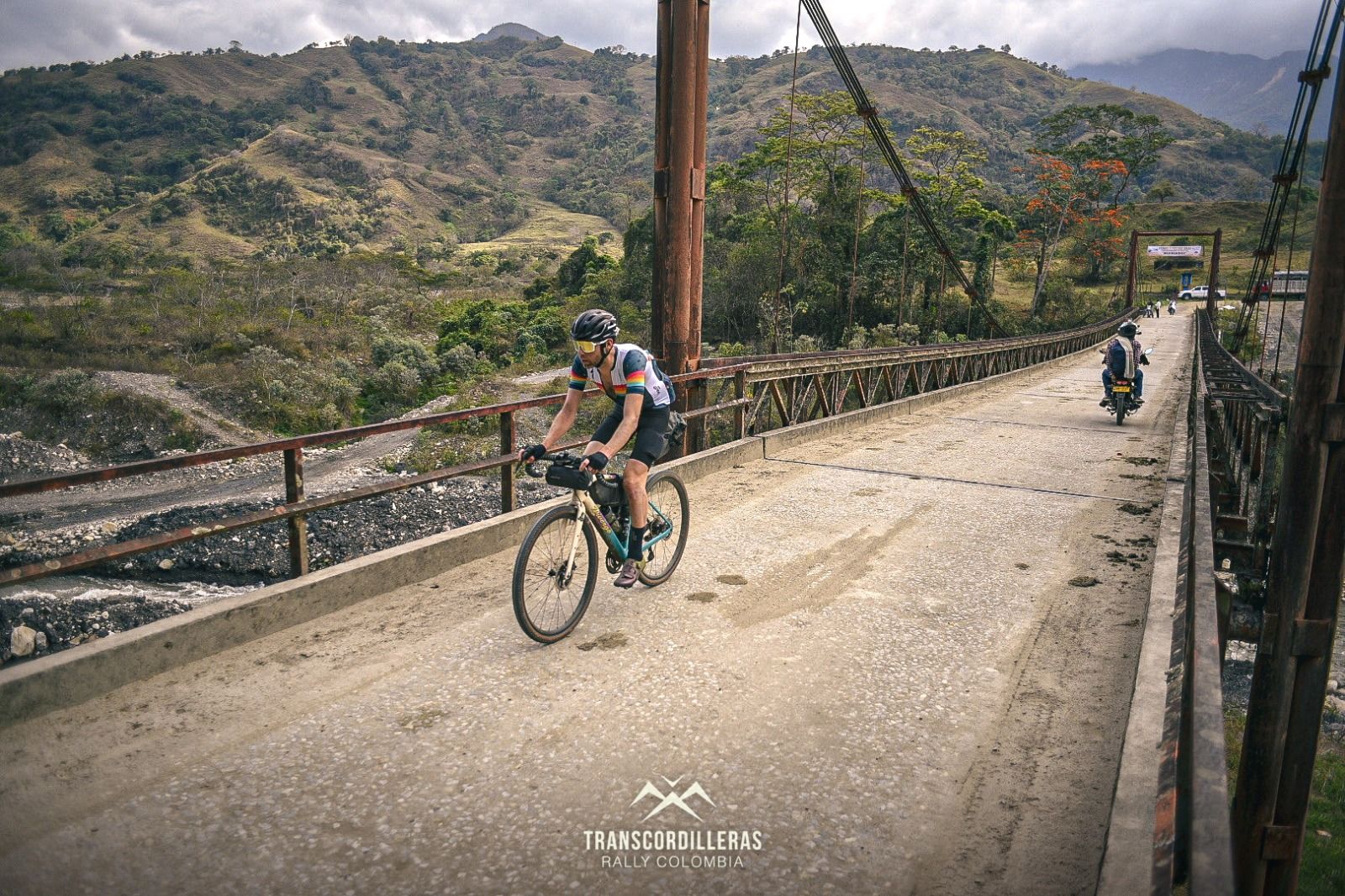
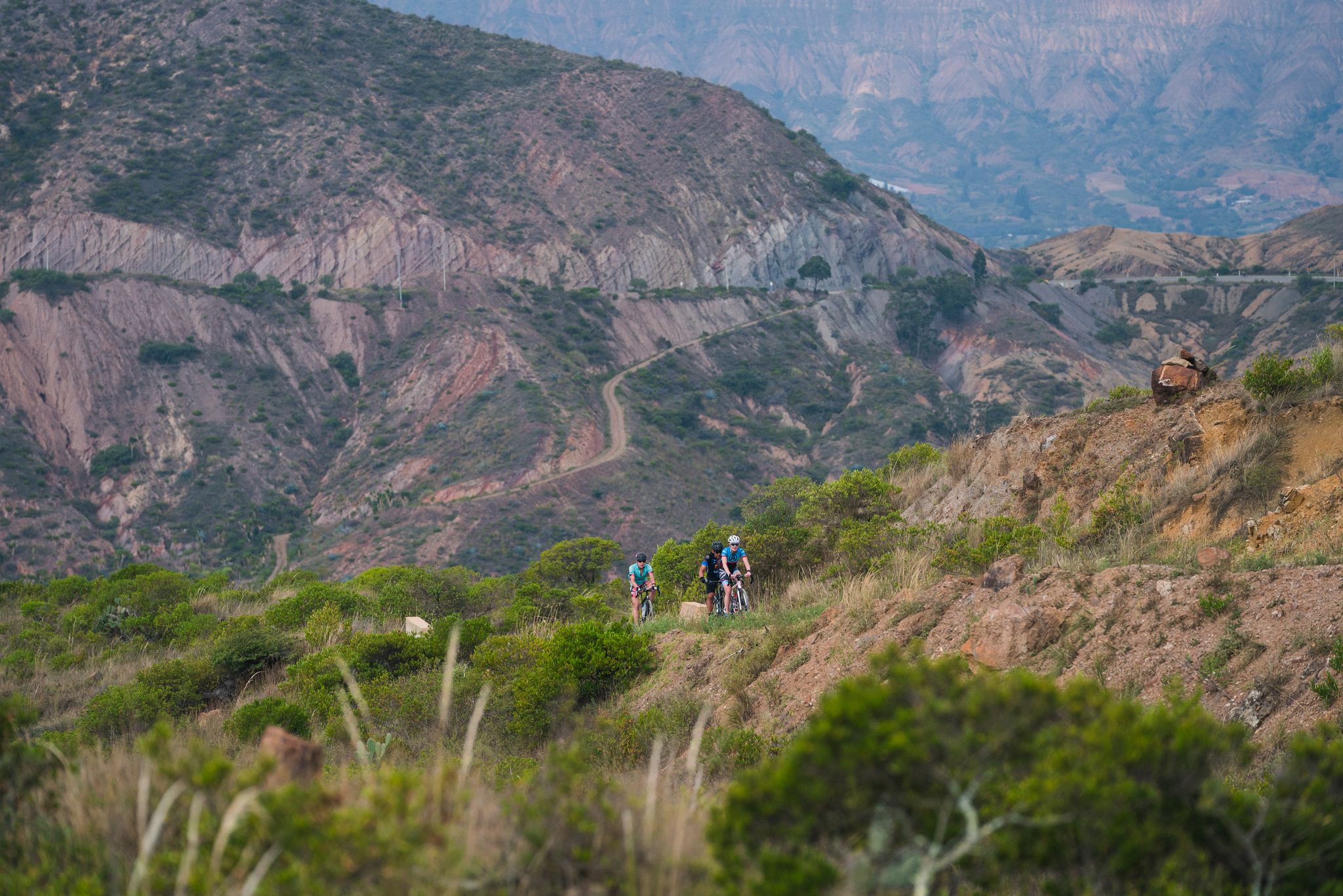
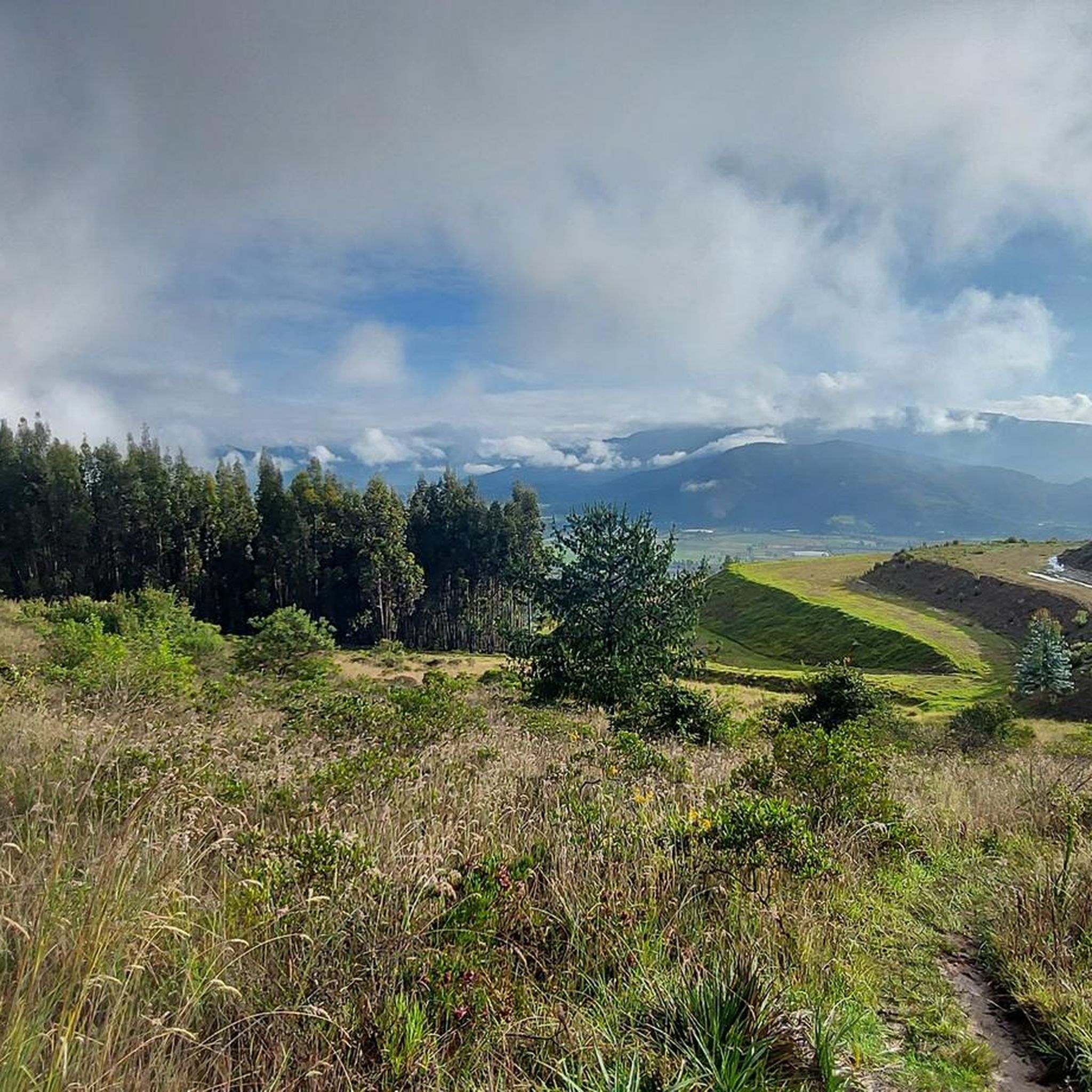
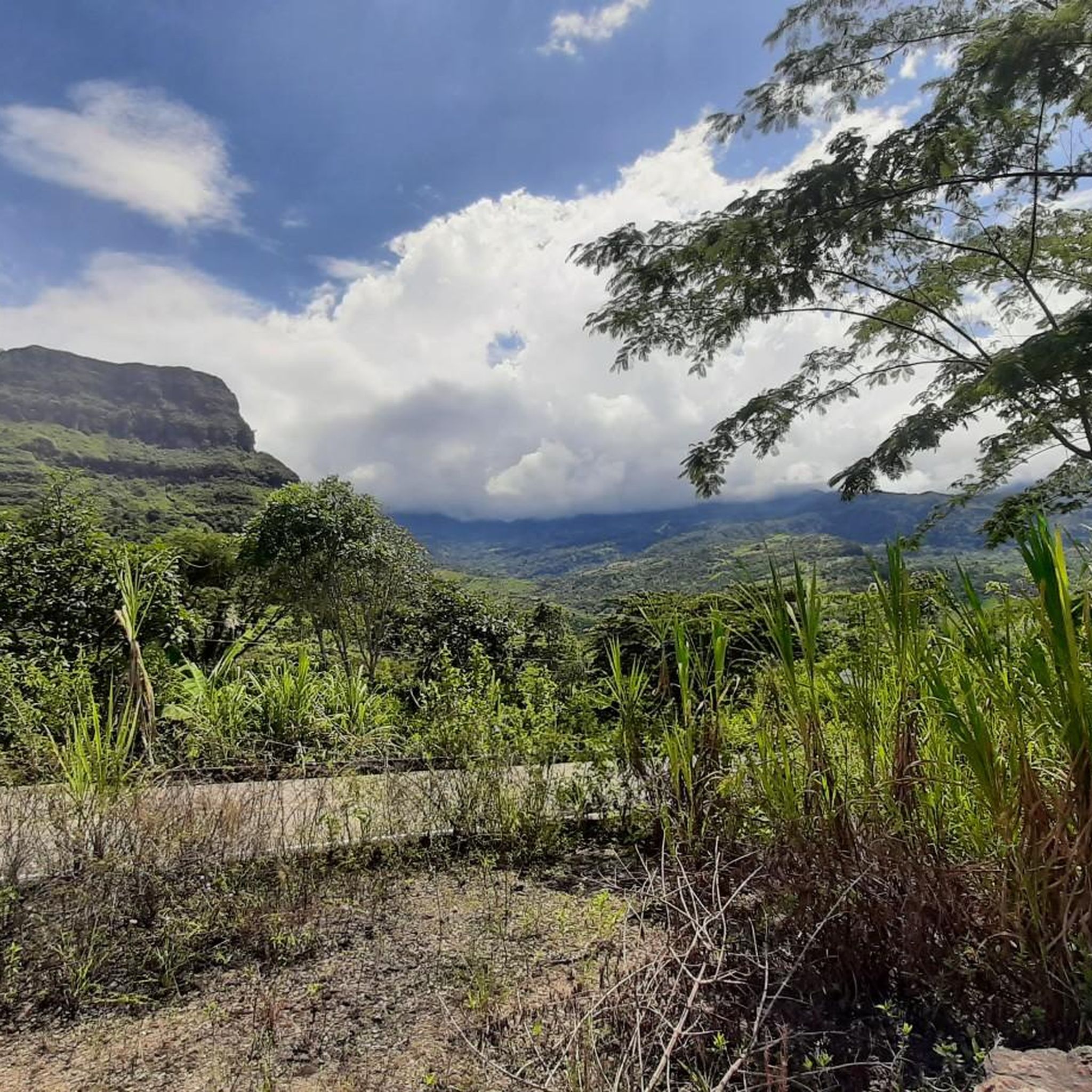
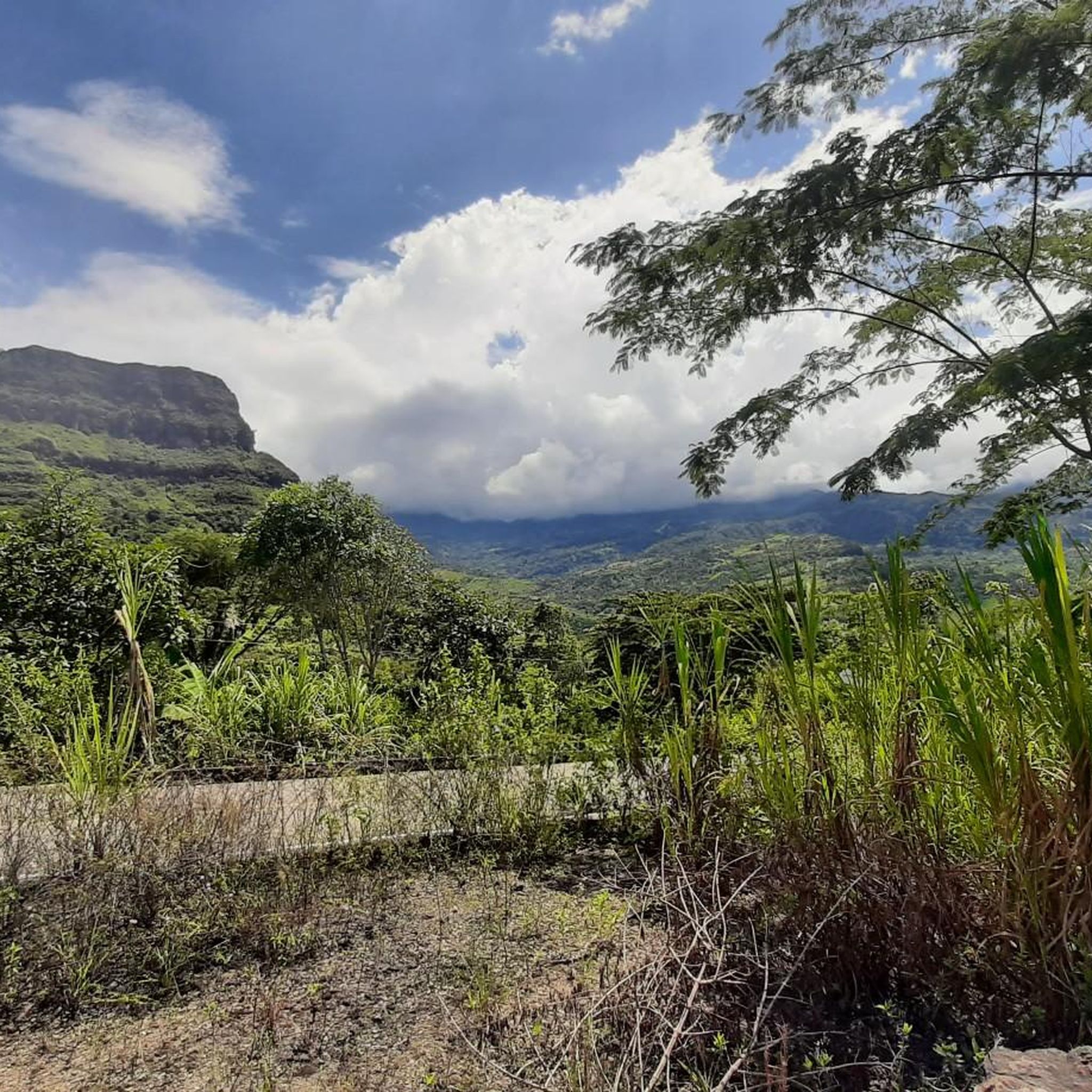
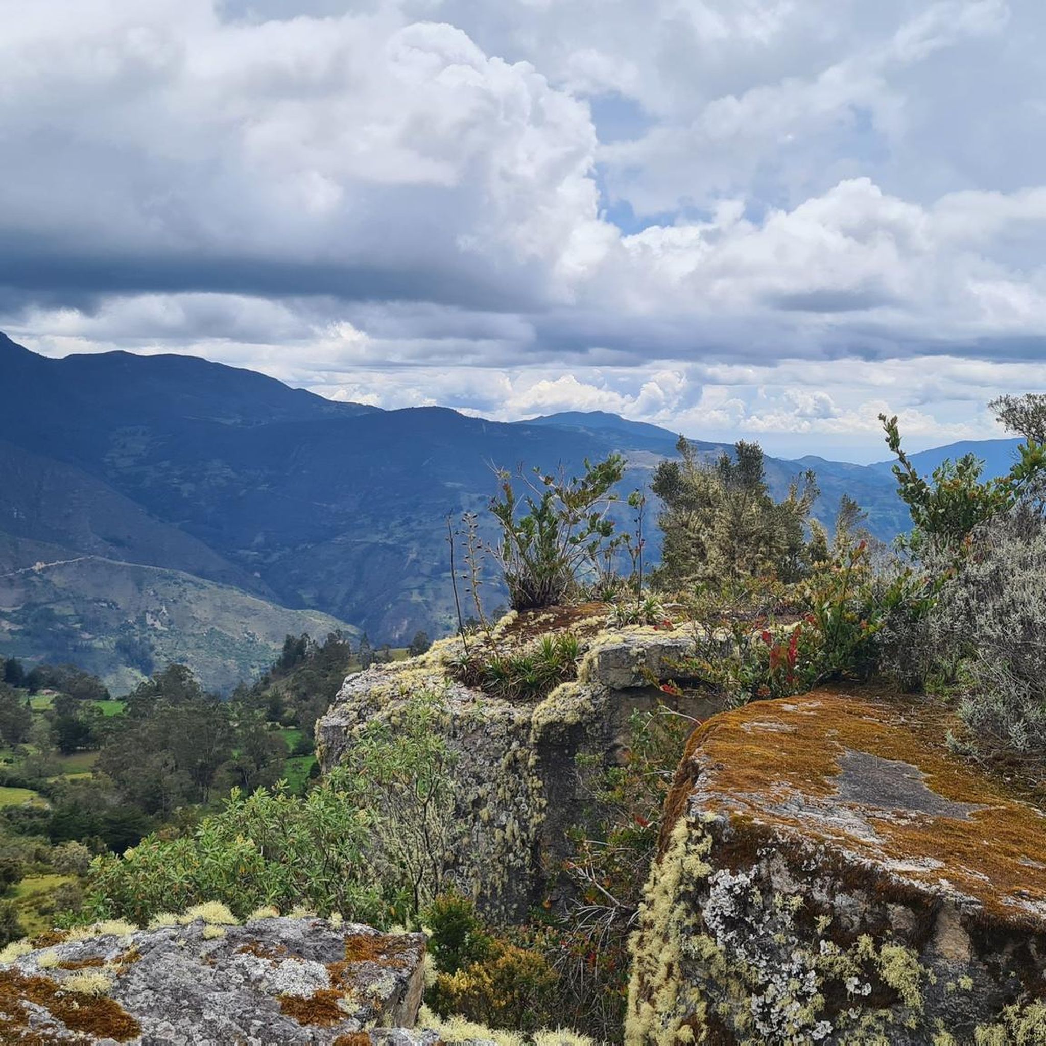
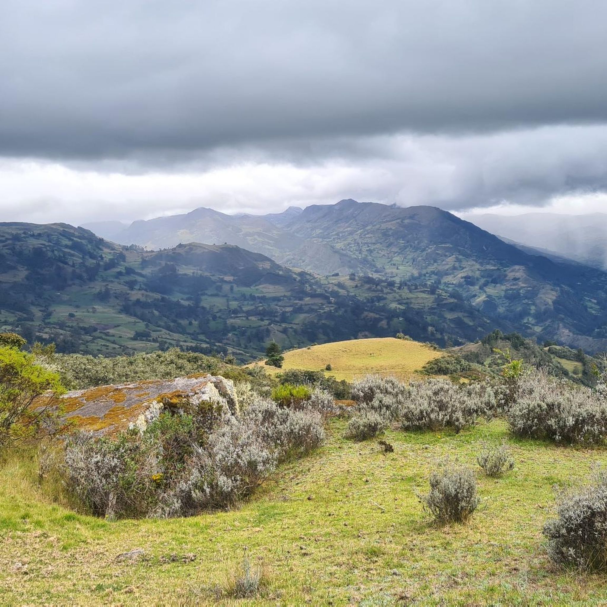



Tips from the Community

I did it by diverting onto an unpaved route from Santa Rosa de Viterbo, a good option if you want to avoid traffic on the main road, however, it is recommended on MTB or Gravel.
0
0

It is safe, there is little traffic, you can go by road bike or mountain bike, the top of the mountain is at 2,876 meters / sea level
0
0

Difficulty breathing after 3250 meters above sea level, be well trained
0
0

Summit between the municipalities of Santa Rosa de Viterbo and Belén. Elevation close to 3000 meters above sea level
0
0
High of the Russian wasteland. Via Duitama - El Encino. 3840 meters above sea level. Unpaved segment
0
0
Stop between the municipalities of Santa Rosa de Viterbo and Cerinza. Elevation 2974 meters above sea level.
0
0
Mythical port at 2940 masl between Tobasía and Santa Rosa de Viterbo. Completely paved road in very good condition.
0
0

it is very good to climb 2 km to the antennas
0
0
Frequently Asked Questions
What are some of the most popular mountain passes for cyclists in Boyacá?
Boyacá offers several popular mountain passes for cyclists. Curies Summit is a mythical port for both road and mountain cyclists, reaching 2900 meters above sea level with paved sections from Firavitoba. Another favorite is Alto de Tobasía, a mythical port at 2940 meters between Tobasía and Santa Rosa de Viterbo, known for its completely paved road in very good condition. For a significant challenge, Alto el Crucero is often described as one of the longest climbs globally, reaching 3,450 meters and offering varying landscapes.
Are there any mountain passes in Boyacá with significant historical importance?
Yes, Boyacá's mountain passes are rich in history. The Pisba Páramo holds profound historical weight, as it was one of the 'cold, punishing routes' crossed by Simón Bolívar's troops during the independence campaign of 1819. Additionally, parts of the route for Alto el Crucero were also used by Simón Bolívar during the independence campaign, adding to its historical value.
What kind of natural features and viewpoints can I expect to see at Boyacá's mountain passes?
The mountain passes in Boyacá offer diverse natural beauty and stunning viewpoints. The Páramo de Ocetá, for instance, is a unique high-altitude ecosystem with remarkable biodiversity and surreal landscapes. You can also find excellent views at Puerta de Cuche, which serves as a detour point with unpaved segments, and the Alto de Boca de Monte Viewpoint, which offers high views connecting several municipalities.
What are the difficulty levels of mountain passes in Boyacá?
Boyacá's mountain passes cater to various skill levels. Many passes are considered intermediate, such as Curies Summit and Alto de Tobasía. For those seeking a more challenging experience, passes like Alto el Crucero are known for their exceptional length and steep gradients. Other challenging options include Alto de Santa Ana (Charalá Road) and Buenavista–Coper Mountain Pass.
Are there any high-altitude páramo environments among the mountain passes in Boyacá?
Yes, Boyacá is home to significant páramo environments. The Páramo de Ocetá is a prime example, known for its unique high-altitude ecosystem, distinct flora, and fauna, making it an exceptional hiking destination. The Pisba Páramo is another vast, windswept highland crucial for capturing mist and feeding rivers, offering expansive views and solitude.
What outdoor activities can I do near the mountain passes in Boyacá?
Near the mountain passes in Boyacá, you can enjoy a variety of outdoor activities. For hikers, there are easy hikes available, such as the Cerro Mahoma loop or Pozo Verde loop. Cyclists can explore numerous road cycling routes, including challenging loops like the Gámeza Canyon Climb – Alto de Tobasía loop or the Alto del Crucero – Lake Tota loop. There are also running trails for those who prefer jogging, with options around Paipa and Villa de Leyva.
What is the elevation of some of the higher mountain passes in Boyacá?
Boyacá features several high-elevation mountain passes. Alto el Crucero reaches an impressive 3,450 meters (11,319 feet). Alto de Tobasía is at 2940 meters above sea level, and Alto del Portachuelo is close to 3000 meters, specifically 2974 meters, between Santa Rosa de Viterbo and Cerinza. The Alto de Boca de Monte Viewpoint is at 2,876 meters.
Are there any mountain passes in Boyacá that are considered 'hidden gems' or less frequented?
While many passes are popular, some offer a more secluded experience. The Pisba Páramo, despite its historical significance, provides solitude and expansive views, making it a unique destination for trekkers. Alto del Páramo de La Rusia (Duitama–El Encino Road) is another challenging pass that offers a natural monument experience away from the most crowded routes.
What kind of terrain can I expect on the mountain passes in Boyacá?
The terrain across Boyacá's mountain passes is quite diverse. You'll find completely paved roads in excellent condition on passes like Alto de Tobasía and sections of Curies Summit. However, many passes, such as Puerta de Cuche and Buenavista–Coper Mountain Pass, include unpaved segments or trail areas, offering a mix of surfaces for different types of outdoor activities.
What do visitors enjoy most about the mountain passes in Boyacá?
Visitors to Boyacá's mountain passes particularly enjoy the challenging cycling climbs, the stunning natural scenery, and the rewarding views. The region's diverse mountainous terrain and high-Andean trails provide a unique experience. The komoot community has shown appreciation for these passes, with more than 30 upvotes and 30 photos shared, highlighting the beauty and adventure they offer.
Are there any mountain passes specifically recognized within cycling circles in Boyacá?
Yes, several passes are well-known among cyclists. Besides the mythical Curies Summit and Alto de Tobasía, Alto de Piedra Gorda, situated in Sáchica, is recognized as a notable mountain port for cyclists looking to tackle established climbs within the department. Alto de Bocademonte (also known as Alto de Boca de Monte Viewpoint) is also known as a challenging climb, particularly appealing to experienced cyclists.
Most popular attractions in Boyacá

Get inspired with the komoot mobile app


Didn’t find what you were looking for?
Find even more amazing mountain passes in Boyacá organized by region:
Explore more
See even more epic mountain passes by checking out these guides in Boyacá:
