The best walks and hikes in Boyacá
4.8
(66)
552
hikers
12
hikes
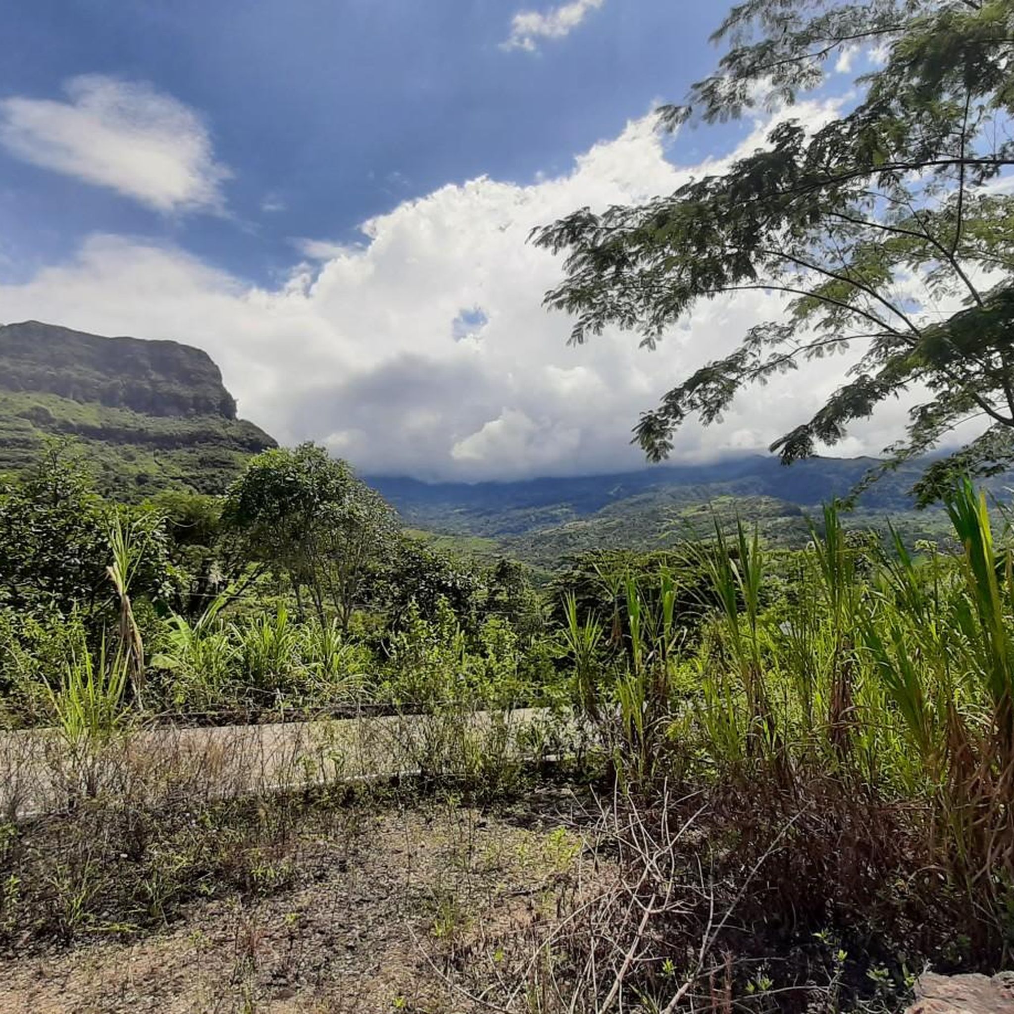
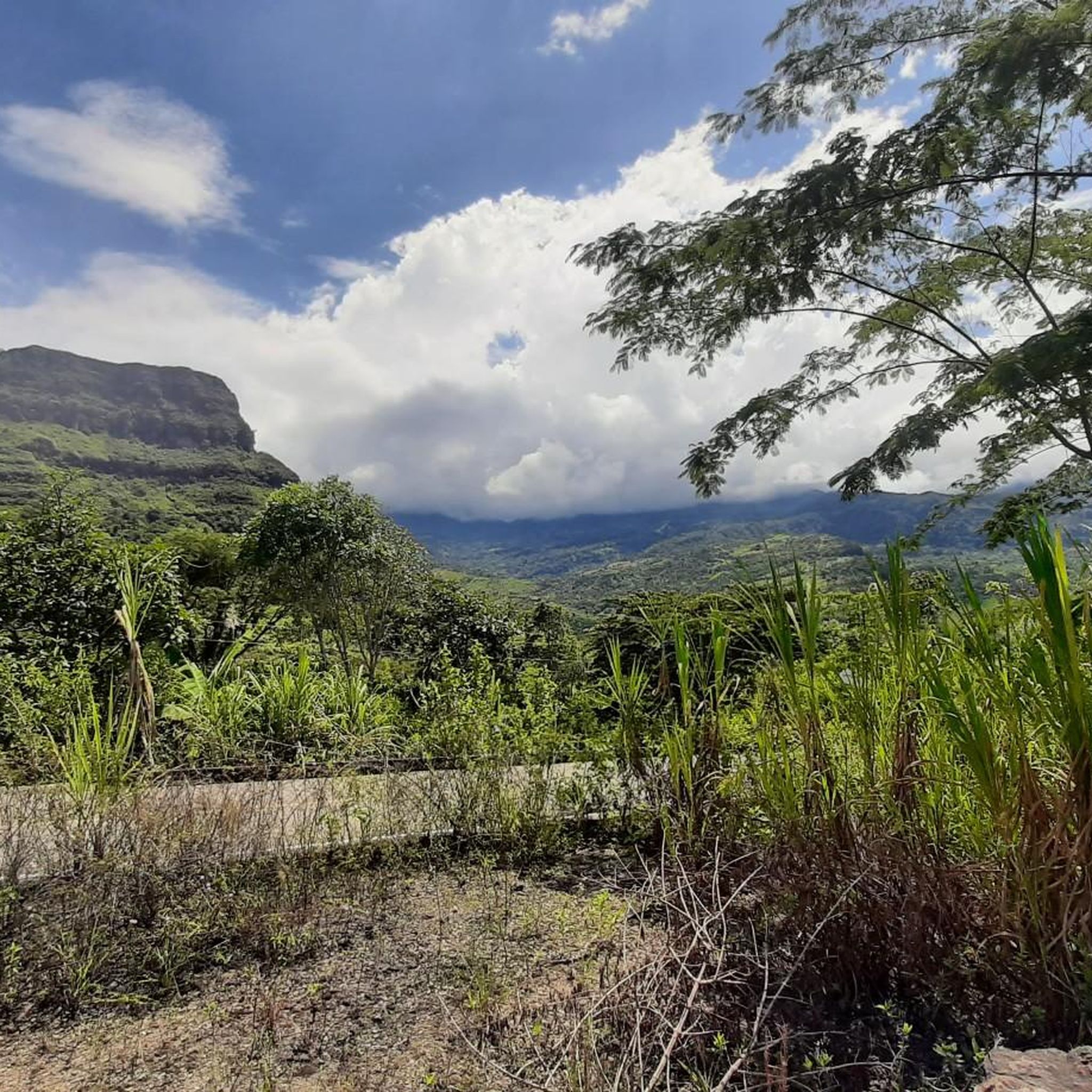
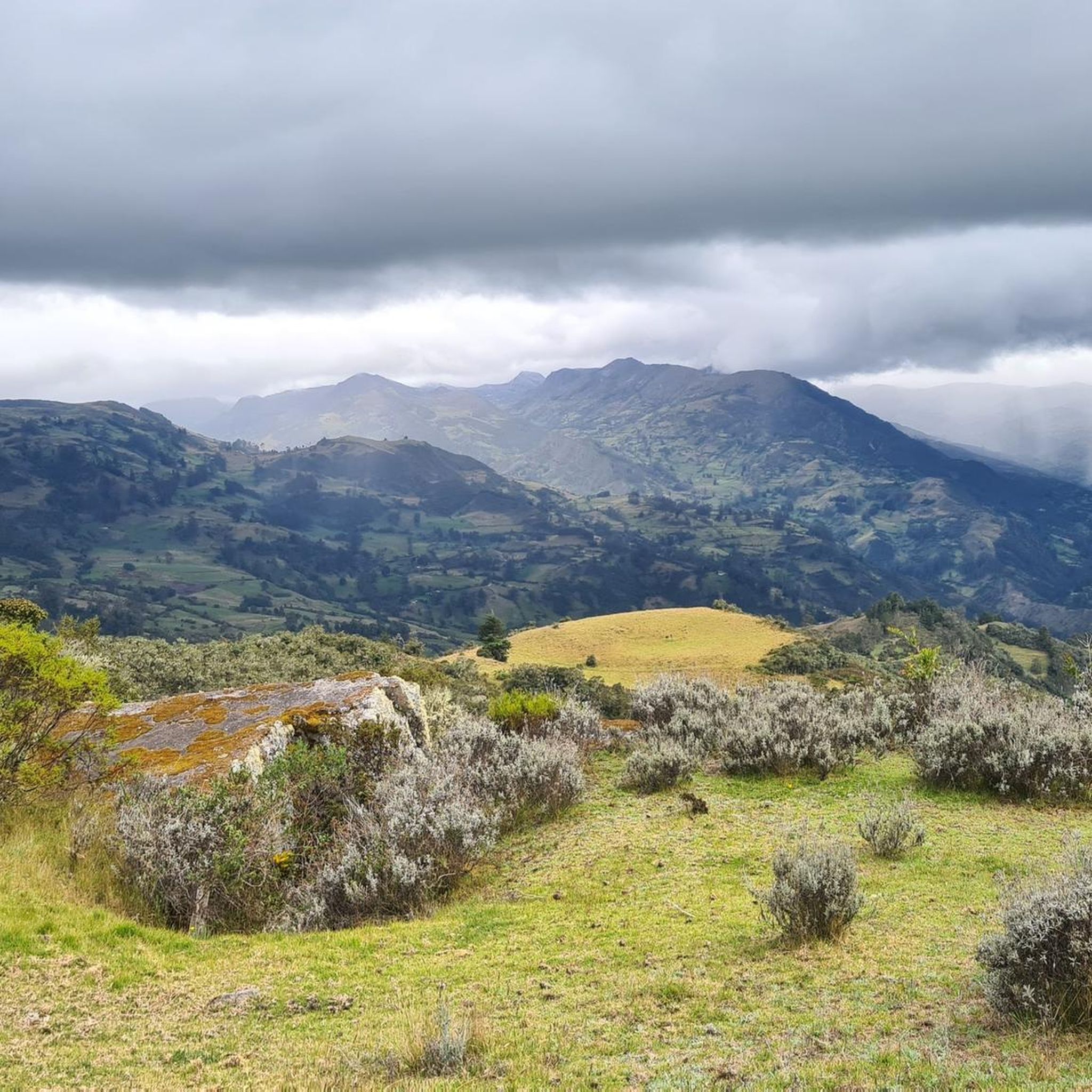
Hiking in Boyacá, located in Colombia's Andean region, offers diverse terrain for outdoor activities. The region is characterized by the Eastern Cordillera, featuring mountains, hills, plains, plateaus, and valleys. Hikers can explore unique páramo ecosystems, Andean forests, and significant high-altitude lakes. This varied landscape provides a wide array of hiking experiences across different elevations.
Best hiking trails in Boyacá
- The most popular hiking route is Campanilla Small Lakes – Devil's Pulpit loop from Cabañas Hermanos Herrera, a 10.2 miles…
Last updated: July 1, 2026
5.0
(17)
183
hikers
Hard hike. Very good fitness required. Sure-footedness, sturdy shoes and alpine experience required.
5.0
(21)
156
hikers
Hard hike. Very good fitness required. Sure-footedness, sturdy shoes and alpine experience required.

Sign up for free
4.7
(12)
107
hikers
13.3km
06:52
1,010m
1,010m
Hard hike. Very good fitness required. Sure-footedness, sturdy shoes and alpine experience required.
5.0
(3)
35
hikers
9.04km
03:43
740m
740m
Moderate hike. Good fitness required. Easily-accessible paths. Suitable for all skill levels.
3.9
(7)
30
hikers
8.96km
02:27
140m
140m
Moderate hike. Good fitness required. Easily-accessible paths. Suitable for all skill levels.
5.0
(2)
21
hikers
6.46km
01:57
210m
210m
Easy hike. Great for any fitness level. Easily-accessible paths. Suitable for all skill levels.
5.0
(2)
4
hikers
4.77km
01:14
30m
30m
Easy hike. Great for any fitness level. Easily-accessible paths. Suitable for all skill levels.
3
hikers
5.33km
01:29
100m
100m
Easy hike. Great for any fitness level. Easily-accessible paths. Suitable for all skill levels.
2
hikers
5.94km
01:55
260m
260m
Easy hike. Great for any fitness level. Easily-accessible paths. Suitable for all skill levels.
2
hikers
6.63km
02:06
270m
260m
Moderate hike. Good fitness required. Easily-accessible paths. Suitable for all skill levels.
Get access to more routes and recommendations from other explorers.
Sign up for free
Already have an account?
Our route recommendations are based on thousands of hikes, rides, and runs completed by other people on komoot.
Start today with a free account
Your next adventure awaits.
Login or Signup
Popular around Boyacá




Tips from the Community

typical street in Villa de Leyva
0
0

Beautiful 9 artificial lakes in a desertic area, along a great 3 km hike from the entrance. Private place, accessible by car up the entrance. Small resting area with bar at the parking place. Paid visit that lasts 45 minutes.
0
0

Since 2024 you're only allowed in with a guide, starting between 8 and 10 AM. Inform yourself on their website.
0
0

3h41 to make the track? We were told 8h with obligation to have a guide. How did you do it?
0
0
In 2024, to do this climb you have to pay 73,000 COP and, in addition, take a guide. They announce 8 hours round trip
1
0


If you are heading to Pozos Azules by foot, this is a much nicer way to walk than the busy main road.
1
0
Man-made blue pools of water in the arid land not far from Villa de Leyva. Doable by foot from town, and you can explore the pools via a short (and well-marked) walk.
1
0
Frequently Asked Questions
How many hiking trails can I find in Boyacá?
Boyacá offers a diverse network of over a dozen hiking routes, catering to various skill levels. These trails explore the region's unique páramo ecosystems, Andean forests, and stunning glacial lakes.
Are there easy hiking options in Boyacá suitable for beginners or casual walkers?
Yes, Boyacá has several easy trails perfect for beginners. For instance, the Pozo Verde loop from Iza is a gentle 3-mile walk through rural landscapes, taking about an hour and 15 minutes. Another accessible option is the Cerro Mahoma loop from Alto El Cocuy.
What kind of natural attractions or landmarks can I see while hiking in Boyacá?
Boyacá is rich in natural wonders. Hikers can encounter unique páramo ecosystems with frailejones, explore high-altitude glacial lakes like Laguna Grande de la Sierra and the sacred Laguna de Iguaque, and witness dramatic landscapes such as the Chicamocha Canyon. The region also features impressive mountain peaks and viewpoints like Alto de Boca de Monte Viewpoint.
Do I need permits for hiking in specific areas like Iguaque or El Cocuy National Park?
Yes, for protected areas such as the Iguaque Sanctuary of Flora and Fauna and El Cocuy National Natural Park, permits are generally required. These parks are managed destinations, and it's advisable to check specific regulations and book permits in advance, especially for high-demand routes or overnight stays.
Are there any circular hiking routes available in Boyacá?
Many trails in Boyacá are designed as loops, offering varied scenery without retracing your steps. Popular circular routes include the challenging Campanilla Small Lakes – Devil's Pulpit loop, the moderate Iguaque Lagoon loop from Parqueadero, and the easy Pozo Verde loop from Iza.
What is the best time of year to go hiking in Boyacá?
Boyacá's climate can vary significantly with altitude. Generally, the drier seasons (typically December to March and July to August) offer more stable weather conditions, making them ideal for hiking. However, even during these periods, be prepared for sudden changes in weather, especially in high-altitude páramo and mountain areas.
What do other hikers say about their experience in Boyacá?
The hiking trails in Boyacá are highly rated by the komoot community, with an average score of 4.8 stars from over 60 reviews. Hikers frequently praise the region's stunning natural beauty, the diversity of its landscapes from cloud forests to páramos, and the unique cultural immersion offered by trails near colonial towns.
Are there any less crowded hiking trails for a more serene experience?
While popular spots like Iguaque can attract visitors, many trails in Boyacá offer a more tranquil experience. Exploring routes in less-frequented areas or visiting during off-peak times can lead to a more serene hike. The Tenza Valley, for example, is known for its exuberant landscapes and peaceful atmosphere, combining artisan traditions with ecotourism.
What are some of the longer, more challenging hikes in the region?
For experienced hikers seeking a challenge, Boyacá offers demanding routes, particularly in the high-altitude páramo and glacial regions. The Campanilla Small Lakes – Devil's Pulpit loop is a difficult 10.2-mile trail that takes nearly 8 hours to complete, traversing high-altitude terrain with notable lakes. Another challenging option is the Valley of the Frailejones – Laguna Grande de la Sierra loop.
Where can I find accommodation or amenities near popular hiking areas?
Charming colonial towns like Villa de Leyva and Monguí serve as excellent bases for hikers, offering a range of accommodation, restaurants, and local services. Near El Cocuy National Natural Park, you can find haciendas and guesthouses that cater to trekkers. Laguna de Tota also has options in nearby villages like Iza and Cuitiva.
Are there any hikes with great viewpoints in Boyacá?
Boyacá's mountainous terrain provides numerous opportunities for breathtaking views. Many trails ascend to high points offering panoramic vistas of the Andean landscape, páramos, and valleys. The Alto de Boca de Monte Viewpoint is one such spot, and routes in the Sierra Nevada del Cocuy region offer dramatic scenery with snow-capped peaks.
Can I bring my dog on the hiking trails in Boyacá?
While some trails may be dog-friendly, regulations vary, especially within national parks and protected areas like Iguaque Sanctuary or El Cocuy. It's crucial to check the specific rules for each trail or park beforehand, as some areas may restrict pets to protect wildlife and ecosystems.
Most popular attractions in Boyacá

Get inspired with the komoot mobile app


Didn’t find what you were looking for?
Check out more Hikes throughout Boyacá below and find the perfect route in your destination.
Explore more
Browse the best Hikes in other regions.
