The best road cycling routes in Boyacá
4.7
(423)
6,365
riders
152
rides
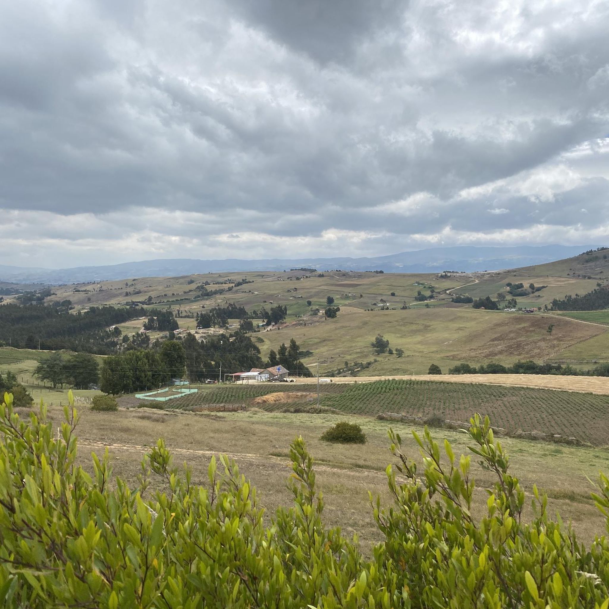
Road cycling in Boyacá offers diverse and challenging mountainous terrain within the Colombian Andes. The region features a "rollercoaster of hills" with significant elevation gains, reaching altitudes between 2150 and 3250 meters. Cyclists encounter a variety of roads, from quiet routes winding through verdant mountains to well-known training grounds. This high-altitude environment provides a demanding yet rewarding experience for road cyclists.
Best road cycling routes in Boyacá
- The most popular road cycling route is Gámeza Canyon Climb – Alto de…
Last updated: July 1, 2026
5.0
(69)
302
riders
108km
05:18
1,260m
1,260m
Hard road ride. Very good fitness required. Mostly well-paved surfaces and easy to ride.
4.9
(27)
302
riders
44.9km
02:34
420m
420m
Moderate road ride. Good fitness required. Some segments of this route may be unpaved and difficult to ride.

Sign up for free
164
riders
138km
07:30
2,770m
2,780m
Hard road ride. Very good fitness required. Some segments of this route may be unpaved and difficult to ride.
5.0
(4)
120
riders
87.9km
04:33
1,020m
1,020m
Hard road ride. Very good fitness required. Some segments of this route may be unpaved and difficult to ride.
5.0
(3)
100
riders
121km
07:05
1,650m
1,650m
Hard road ride. Very good fitness required. Some segments of this route may be unpaved and difficult to ride.
5.0
(3)
106
riders
44.5km
02:09
610m
610m
Moderate road ride. Good fitness required. Mostly well-paved surfaces and easy to ride.
4.6
(15)
108
riders
51.5km
02:26
570m
570m
Moderate road ride. Good fitness required. Mostly well-paved surfaces and easy to ride.
5.0
(3)
110
riders
49.8km
02:35
530m
530m
Moderate road ride. Good fitness required. Some segments of this route may be unpaved and difficult to ride.
5.0
(5)
100
riders
79.8km
04:10
1,440m
1,440m
Hard road ride. Very good fitness required. Mostly well-paved surfaces and easy to ride.
5.0
(2)
103
riders
64.2km
03:18
760m
760m
Moderate road ride. Good fitness required. Mostly well-paved surfaces and easy to ride.
Get access to more routes and recommendations from other explorers.
Sign up for free
Already have an account?
Our route recommendations are based on thousands of hikes, rides, and runs completed by other people on komoot.
Start today with a free account
Your next adventure awaits.
Login or Signup
Popular around Boyacá
Road Cycling Routes in Santa Rosa De Viterbo

Road Cycling Routes in Floresta
Road Cycling Routes in Cucaita
Road Cycling Routes in Duitama
Road Cycling Routes in Sora
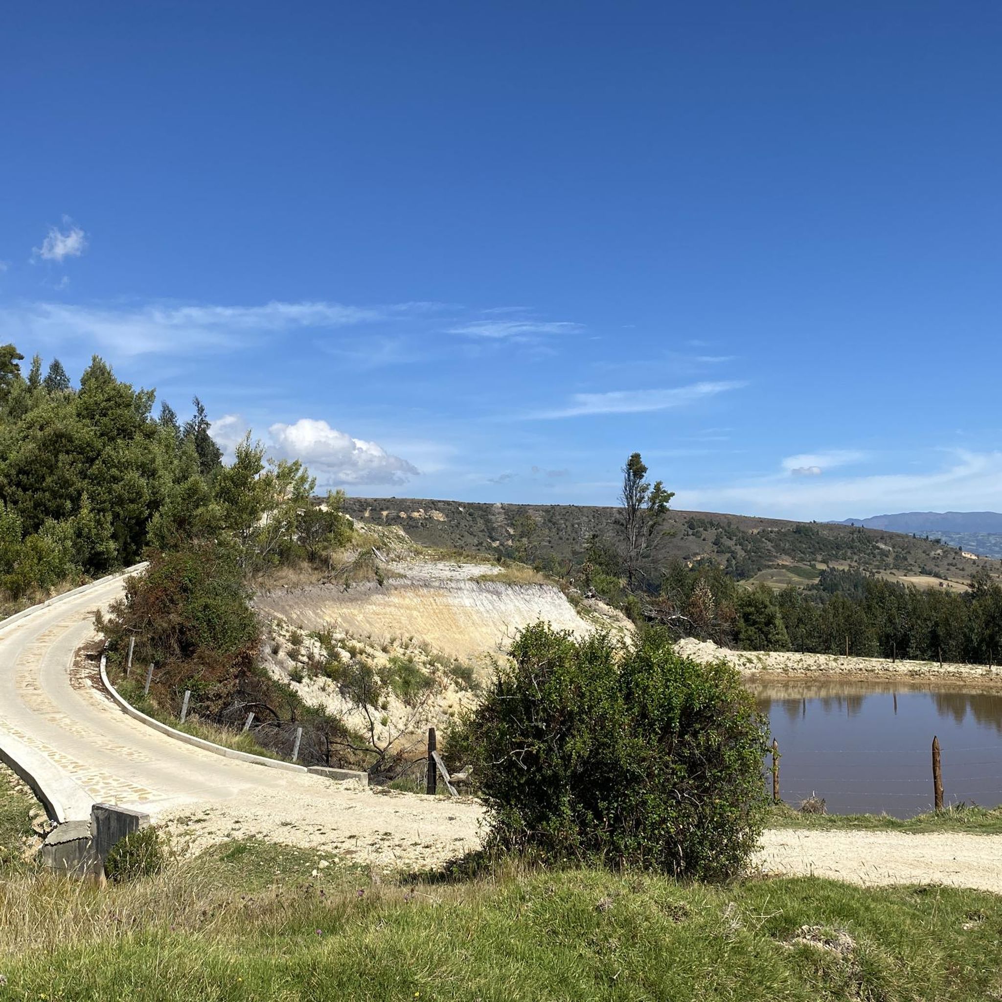
Road Cycling Routes in Chivatá
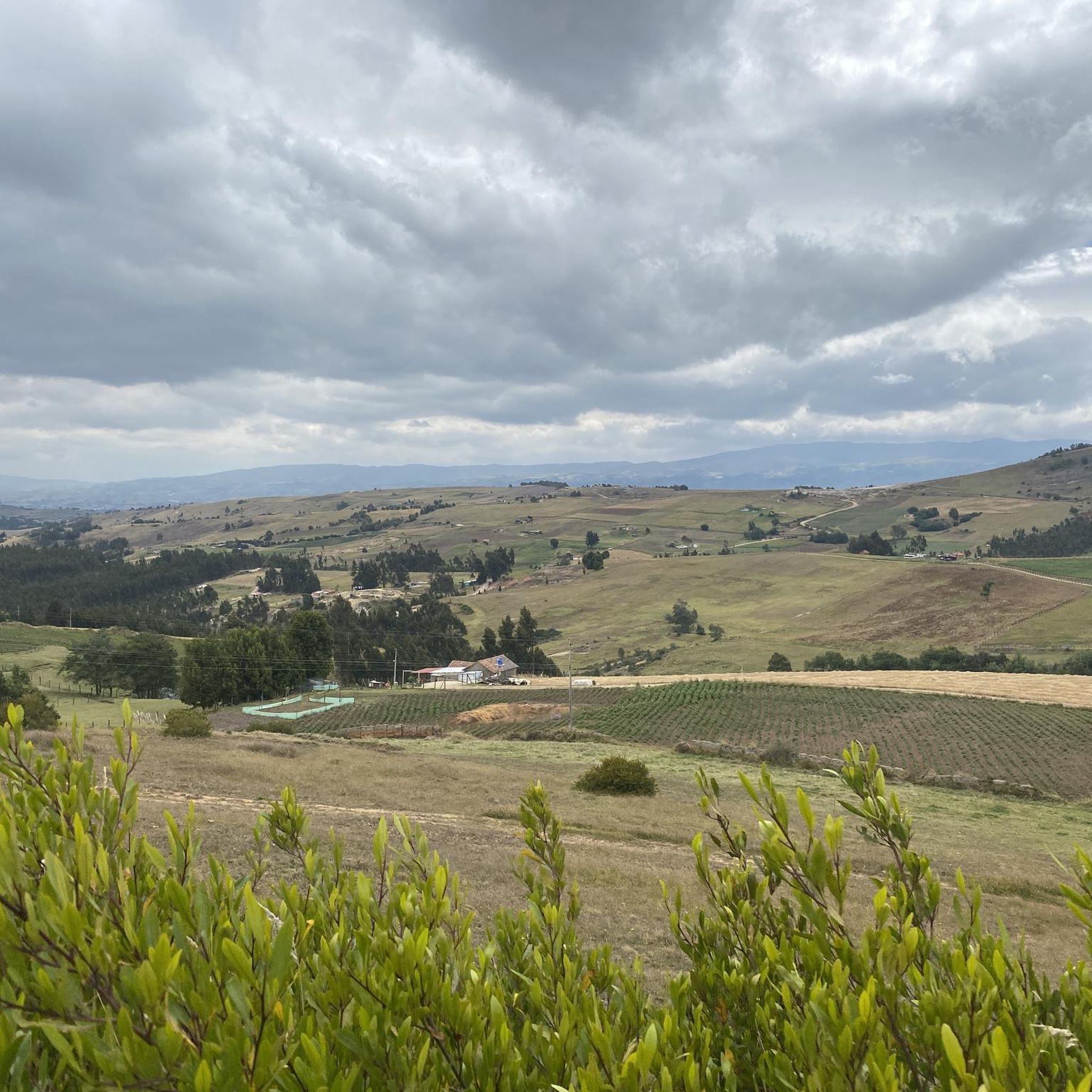
Road Cycling Routes in Tunja
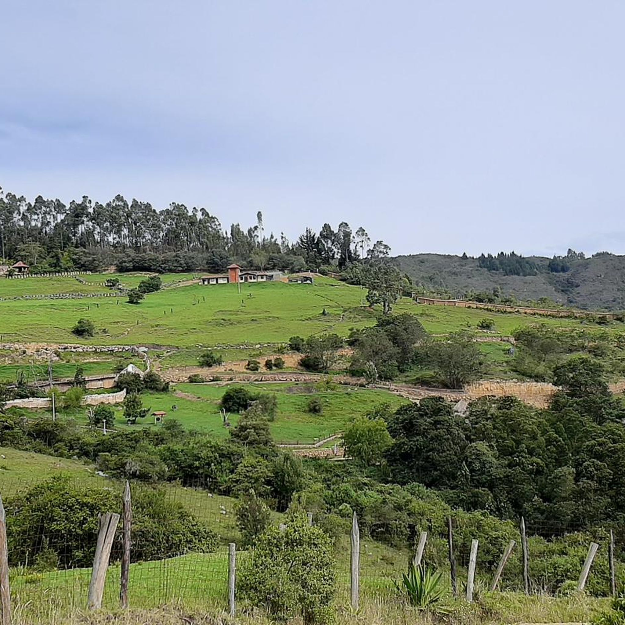
Road Cycling Routes in Tibasosa
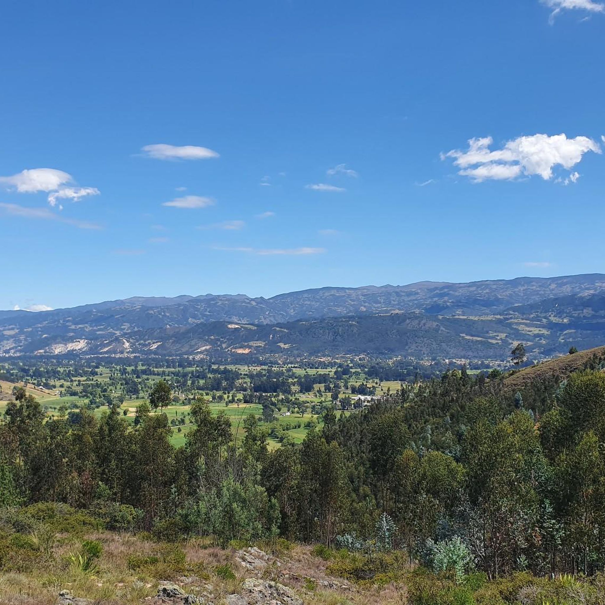
Road Cycling Routes in Firavitoba
Road Cycling Routes in Soracá


Tips from the Community

I did it by diverting onto an unpaved route from Santa Rosa de Viterbo, a good option if you want to avoid traffic on the main road, however, it is recommended on MTB or Gravel.
0
0

Central park with a beautiful cathedral in the center of Bethlehem.
0
0
Summit between the municipalities of Santa Rosa de Viterbo and Belén. Elevation close to 3000 meters above sea level
0
0
Beautiful park in the municipality of Belén.
0
0
Stop between the municipalities of Santa Rosa de Viterbo and Cerinza. Elevation 2974 meters above sea level.
0
0
Representative place where you can find several establishments that offer mojicones, mantecadas, genoas and other culinary foods of the region.
0
0
Playground in the Villa del Rosario sector. There are gym type machines.
0
0
Medieval castle-themed park. As of May 2023 it is practically abandoned. Even the playground is very run down.
0
0
Frequently Asked Questions
How many road cycling routes are available in Boyacá?
Boyacá offers a vast network of road cycling routes, with over 160 tours available. These range from moderate loops to challenging, long-distance rides with significant elevation gains, catering to various skill levels.
What is the typical terrain like for road cycling in Boyacá?
The terrain in Boyacá is characterized by a 'rollercoaster of hills' within the Colombian Andes, offering substantial climbs and descents. Routes often reach altitudes between 2150 and 3250 meters. You'll encounter a variety of roads, from quiet, winding paths through verdant mountains to well-known training grounds for professional cyclists.
What is the best time of year for road cycling in Boyacá?
Boyacá's climate is generally temperate due to its altitude, but it's advisable to check local weather forecasts. The region experiences distinct wet and dry seasons. The dry seasons typically offer more consistent riding conditions, though the high-altitude environment can present variable weather at any time.
Are there circular road cycling routes in Boyacá?
Yes, many of the road cycling routes in Boyacá are designed as loops, allowing you to start and finish in the same location. For example, the Gámeza Canyon Climb – Alto de Tobasía loop from Paipa is a popular circular route, as is the Hostal El Simnal – La Cascajera Pass loop from Cabecera Municipal Duitama.
What kind of natural features can I expect to see along the routes?
Boyacá is rich in natural beauty, offering breathtaking mountain landscapes, valleys, and unique páramo alpine ecosystems. You might cycle past impressive geological formations like the Estoraques de Floresta, or enjoy views of lakes such as Lake Tota, Colombia's largest lake, or the serene Iguaque Lagoon. The region also features waterfalls and diverse ecosystems.
Are there any notable landmarks or colonial towns to visit along the way?
Absolutely. Boyacá is dotted with charming colonial towns. You can cycle through or near places like Villa de Leyva, known for its well-preserved architecture, or Paipa, famous for its hot springs. Duitama features 'Pueblito Boyacense,' showcasing colonial styles. Many routes offer views of significant mountain passes like Alto de Tobasía or Alto del Portachuelo.
How challenging are the road cycling routes in Boyacá?
Boyacá offers routes for various difficulty levels. While many routes feature significant elevation gains, there are options ranging from moderate to difficult. For instance, the Lago ramires loop from Sáchica is a moderate option, while the Descent from Samacá to Sáchica – Alto de Sote loop from Villa de Leyva is considered difficult due to its length and elevation.
Are there routes suitable for beginners or families?
While Boyacá is known for its challenging mountainous terrain, there are some easier routes available. Out of over 160 routes, 11 are classified as easy, and 80 as moderate. These moderate options, often shorter and with less extreme elevation, can be suitable for beginners or families looking for a less strenuous experience. Always check the route details for distance and elevation before setting out.
What do other cyclists say about road cycling in Boyacá?
The road cycling experience in Boyacá is highly rated by the komoot community, with an average score of 4.7 stars from over 550 reviews. Cyclists frequently praise the region's challenging yet rewarding climbs, stunning mountain scenery, and the unique cultural experience of cycling through colonial towns.
Can I find routes near specific towns like Tunja or Duitama?
Yes, Boyacá offers numerous routes originating from or passing through its main towns. For example, you can find routes near Tunja, such as the El Barne Roundabout – Puerto 1 loop from Tunja. Duitama is also a popular starting point, with routes like the Alto del Crucero – Lake Tota loop from Duitama.
Are there places to eat or rest along the road cycling routes?
Yes, as you cycle through Boyacá, you'll often pass through charming colonial towns and villages where you can find local cafes, restaurants, and shops to rest and refuel. The region is known for its 'great hearty food,' offering opportunities to experience local cuisine and hospitality.
What are the parking options for cyclists in Boyacá?
When planning your ride, consider starting points in towns like Paipa, Duitama, or Villa de Leyva. These towns typically offer public parking facilities where you can leave your vehicle. For specific routes, it's advisable to check the route description or local information for designated parking areas near the trailhead or starting point.
Most popular attractions in Boyacá

Get inspired with the komoot mobile app


Didn’t find what you were looking for?
Check out more Road cycling routes throughout Boyacá below and find the perfect route in your destination.
Explore more
Browse the best Road cycling routes in other regions.
