Top 20 Natural Monuments around South San Francisco
Best natural monuments around South San Francisco include a variety of significant natural parks and open spaces. This area features unique ecological characteristics and diverse habitats, serving as an important natural island amidst urban development. The landscape offers sweeping views and crucial environments for local wildlife. These sites provide valuable ecological resources and recreational opportunities for visitors.
Best natural monuments around South San Francisco
- The most popular natural monuments is San Andreas Lake, a lake that is a hidden…
Last updated: July 8, 2026
San Andreas Lake
Highlight • Lake
Tip by

San Bruno Mountain State & County Park
Highlight • Natural Monument
Tip by

Sign up now to discover places like this
Get recommendations on the best single tracks, peaks, & plenty of other exciting outdoor places.
Sign up for free
Interpretive Center - Hayward Regional Shoreline Museum
Highlight • Rest Area
en.wikipedia.org/wiki/Hayward_Shoreline_Interpretive_Center
Tip by
The Point
Highlight • Viewpoint
Tip by
Gray Whale Cove State Beach
Highlight • Beach
Tip by

Sign up for free to discover even more natural monuments around South San Francisco.
Sign up for free
Already have an account?
Start today with a free account
Your next adventure awaits.
Login or Signup
Tips from the Community

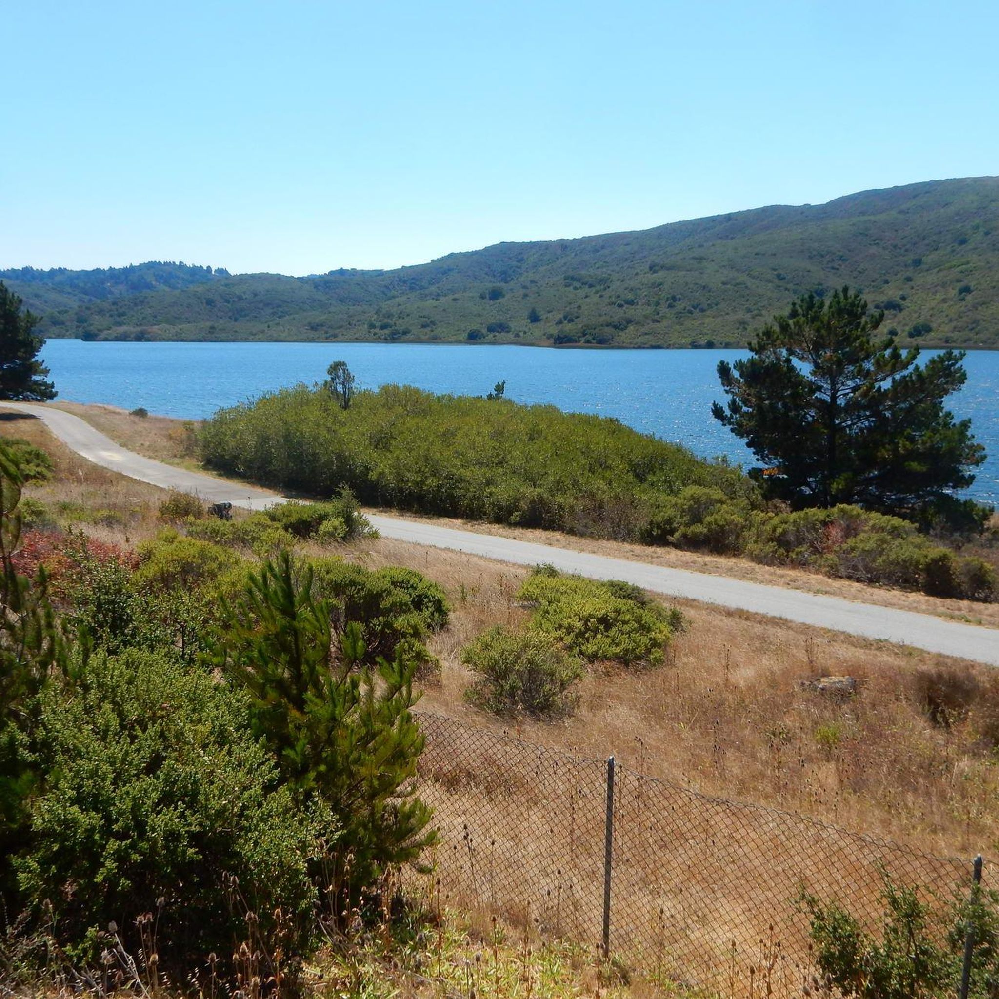
San Andreas Lake is a hidden gem tucked into the hills of San Mateo County, just south of San Francisco. Originally a natural sag pond formed by the San Andreas Fault, it was transformed into a reservoir in the late 1800s and now serves as a vital water source for the region. The lake is off-limits for swimming or boating, but you can enjoy its peaceful beauty from the San Andreas Trail or the popular Sawyer Camp Trail, which runs along its eastern edge. It's a serene spot where you can walk or bike with sweeping views of the water and surrounding hills, all while standing right on one of the world’s most famous fault lines. Despite its proximity to urban life, San Andreas Lake offers a quiet, scenic escape steeped in natural and historical significance.
1
0

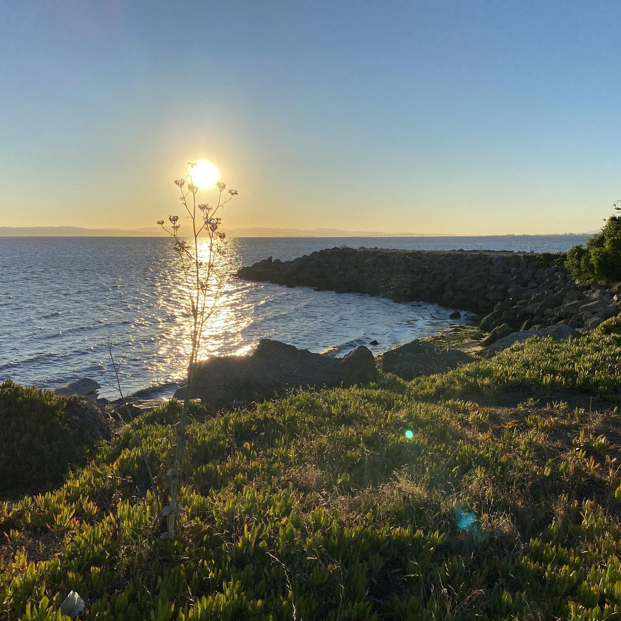
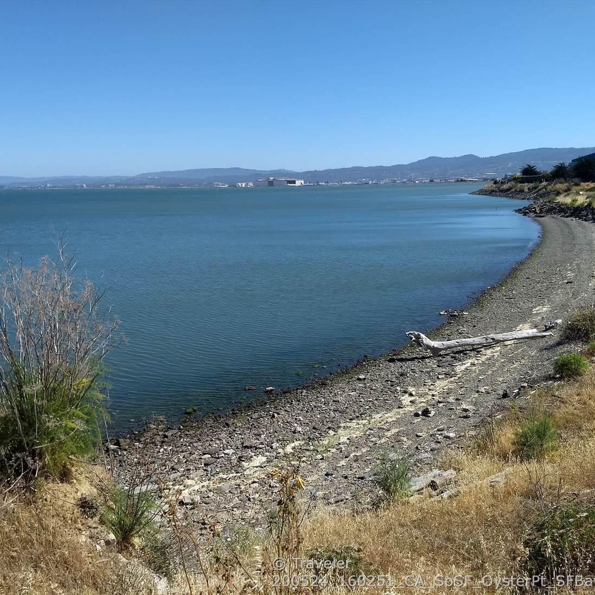
Entry point to the Hayward Shoreline trail. You'll have to travel through some industrial areas to reach this point, and the trail is gravel. Not overly populated, but there is some road noise from the San Mateo bridge.
0
0

This 2,400-acre park stands as an oasis of open space, right on the fringes of San Francisco. The highest point of the ridge is just over 1,300 feet (almost 400 meters) in elevation, and the views are great!
2
2

The Hayward Shoreline Interpretive Center, established in 1986, is a fantastic educational center for school groups and the public to learn about the significance and history of the wetlands surrounding San Francisco Bay. Several exhibits, programs, and activities are designed to cultivate appreciation, respect, and stewardship for the bay and its diverse wildlife. There is parking and restrooms available here.
1
0

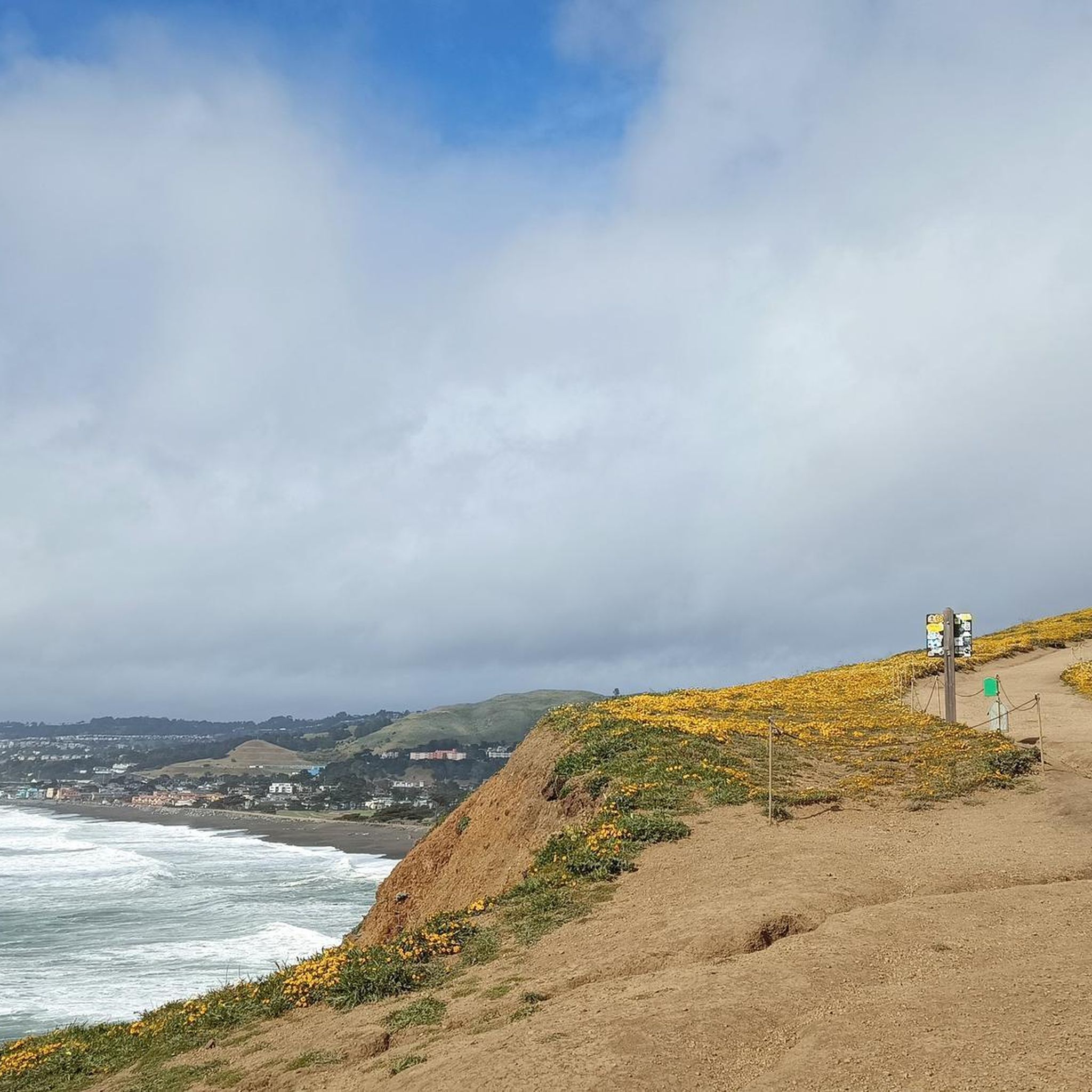
Gray Whale Cove State Beach is a beautiful, secluded beach located nine miles north of Highway 92 along Highway 1. This 800-foot stretch of white sand is nestled in a small valley known as "Devil's Slide" and is shielded from the highway by cliffs. The beach is named for the gray whales often spotted here during their spring migration. Facilities include free day parking, chemical toilets, but no water, so keep this in mind as you ride.
0
0
This is of the most beautiful beaches in Northern California. The views are stunning, making it an excellent place to have lunch on the beach and take memorable photos.
0
1
Mori Point is a fantastic spot to view marine mammals passing through along the coast. December and January is an excellent opportunity to see grey whales as they migrate between Alaska and Baja California Sur. It is not uncommon to also see humpback whales, orcas, blue whales and several species of dolphins from this location.
1
0

San Bruno Mountain Park is adjacent to the southern boundary between San Francisco and northern San Mateo County, and borders the cities of Brisbane, South San Francisco, Colma and Daly City -- a unique open-space island in the midst of the peninsula's urbanization at the northern end of the Santa Cruz Mountain Range. The Mountain's ridge line runs in an east-west configuration, with considerable slopes and elevations ranging from 250 feet to 1,314 feet at the summit. The 2,416 acres of rugged landscape offer excellent hiking opportunities and outstanding views of San Francisco and the Central Bay Area. https://parks.smcgov.org/san-bruno-mountain-state-county-park The trailheads at the summit offer restrooms, picnic tables, drinking water fountains, and trail maps.
0
0
Frequently Asked Questions
What are some significant natural areas to explore in and around South San Francisco?
Beyond the well-known spots, the region offers several unique natural areas. You can visit San Bruno Mountain State & County Park, known for its rugged landscape and panoramic views. Another notable area is Mori Point, part of the Golden Gate National Recreation Area, which features dramatic coastal bluffs and is a refuge for threatened species. Sign Hill Park, with its iconic hillside letters, also provides trails and important butterfly habitats.
Are there natural monuments suitable for families in South San Francisco?
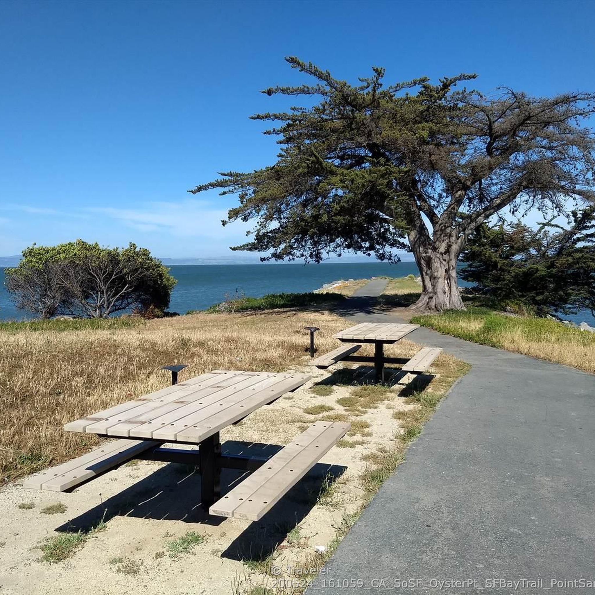
Yes, several natural areas are family-friendly. San Andreas Lake offers peaceful paths for walking or biking along its edges. Oyster Point Marina/Park provides accessible, flat trails along the bayfront, perfect for leisurely strolls and picnics. Many trails within San Bruno Mountain State & County Park also cater to various fitness levels, making it a great option for families.
What kind of wildlife can I expect to see in the natural monuments around South San Francisco?
The natural monuments in this region are rich in biodiversity. At San Bruno Mountain State & County Park and Sign Hill Park, you might spot endangered butterfly species like the Mission Blue and Callippe Silverspot. Mori Point is a crucial refuge for the threatened California red-legged frog and the endangered San Francisco garter snake. During migration seasons, particularly December and January, you can often see grey whales and other marine mammals from coastal viewpoints like The Point at Mori Point or Gray Whale Cove State Beach.
When is the best time to visit the natural monuments in the South San Francisco area?
Spring is an excellent time to visit, especially for wildflower displays at locations like San Bruno Mountain State & County Park, Sign Hill, and Mori Point. Clear days offer the best panoramic views from mountain summits. For whale watching, December and January are ideal for spotting migrating grey whales from coastal areas.
Are there historical or cultural points of interest within these natural monuments?
Yes, some natural areas also hold historical significance. San Andreas Lake, for instance, was originally a natural sag pond formed by the San Andreas Fault and later became a vital reservoir. Sign Hill Park is famously recognized for the large 'South San Francisco The Industrial City' letters embedded into its hillside, a historical landmark visible from afar.
What hiking opportunities are available near South San Francisco's natural monuments?
The region offers diverse hiking experiences. San Bruno Mountain State & County Park features approximately 12 miles of trails with varying difficulty. Sign Hill Park has almost two miles of trails with panoramic city views. Mori Point offers a network of trails, including an accessible loop and a section of the California Coastal Trail. For more options, explore the hiking guide for South San Francisco, which includes routes like the San Francisco Bay Trail and the Bay Area Ridge Trail.
Can I bring my dog to the natural monuments in South San Francisco?
Dog-friendly policies vary by location. Sign Hill Park offers easy and dog-friendly hiking trails. It's always best to check specific park regulations before visiting, as some areas may have restrictions to protect sensitive wildlife habitats.
Are there any viewpoints offering panoramic vistas of the Bay Area?
Absolutely. San Bruno Mountain State & County Park's summit, at 1,314 feet, provides sweeping 360-degree views of the entire Bay Area, including Mount Tamalpais, Mount Diablo, and the Farallon Islands on clear days. Sign Hill Park also offers excellent panoramic views of the city and beyond. Coastal bluffs like The Point at Mori Point provide stunning seaside panoramas.
What kind of water-related natural features can I find?
You can explore San Andreas Lake, a serene reservoir offering peaceful beauty. Along the coast, Mori Point features rugged cliffs, small ponds, and wetlands, while Gray Whale Cove State Beach provides a beautiful stretch of white sand. Oyster Point Marina/Park is located along the western shoreline of San Francisco Bay, offering bay views and sandy beaches.
Are there cycling routes near these natural monuments?
Yes, the area provides opportunities for cycling. The San Andreas Trail and the Sawyer Camp Trail run along the eastern edge of San Andreas Lake, offering scenic paths for biking. For more extensive cycling, including mountain biking, you can consult the MTB Trails guide for South San Francisco, which lists routes like the Devil's Slide loop.
What makes the natural monuments in South San Francisco ecologically significant?
These areas are vital ecological resources. San Bruno Mountain State & County Park supports a remarkable diversity of plant and wildlife, including 14 species of rare or endangered plants and critical habitats for several endangered butterfly species. Sign Hill Park is also an essential habitat for endangered butterflies. Mori Point is a crucial refuge for the threatened California red-legged frog and the endangered San Francisco garter snake, showcasing successful conservation efforts.
Are there any easy-access natural spots for a quick visit?
Oyster Point Marina/Park offers an accessible, flat natural experience right along the bayfront, ideal for leisurely walks and enjoying bay views without strenuous activity. Sign Hill Park also provides easy trails that are great for a quick outing with scenic views.
Most popular routes around South San Francisco
Most popular attractions around South San Francisco

Get inspired with the komoot mobile app


Explore more
Extend your search for the best caves by checking out these guides of the top ones around South San Francisco:
