The best road cycling routes around South San Francisco
4.8
(155)
6,795
riders
30
rides
Road cycling routes around South San Francisco offer a diverse landscape for outdoor activities. The area features a variety of cycling experiences, from paved paths along the bay to challenging climbs around hills and reservoirs. The region is characterized by its proximity to the San Francisco Bay, several lakes and reservoirs, and varied terrain that includes coastal stretches and significant elevation changes. This combination provides options for different fitness levels and scenic views.
Best road cycling routes around South San…
Last updated: August 31, 2026
30
riders
25.9km
01:05
30m
30m
Easy road ride. Great for any fitness level. Mostly well-paved surfaces and easy to ride.
4.5
(2)
83
riders
Moderate road ride. Good fitness required. Mostly well-paved surfaces and easy to ride.

Sign up for free
3.0
(3)
180
riders
45.2km
02:03
430m
430m
Moderate road ride. Good fitness required. Mostly well-paved surfaces and easy to ride.
5.0
(2)
47
riders
29.8km
01:41
380m
380m
Moderate road ride. Good fitness required. Mostly well-paved surfaces and easy to ride.
5.0
(1)
49
riders
65.3km
03:20
910m
910m
Hard road ride. Very good fitness required. Some segments of this route may be unpaved and difficult to ride.
Get access to more routes and recommendations from other explorers.
Sign up for free
Already have an account?
Our route recommendations are based on thousands of hikes, rides, and runs completed by other people on komoot.
Start today with a free account
Your next adventure awaits.
Login or Signup
Tips from the Community

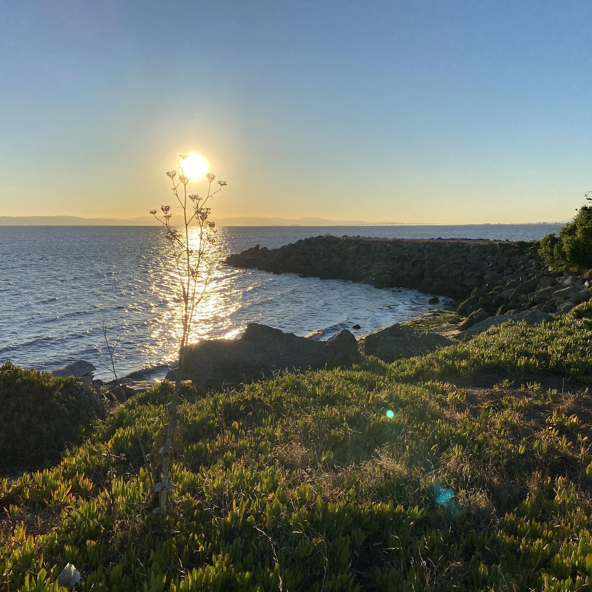
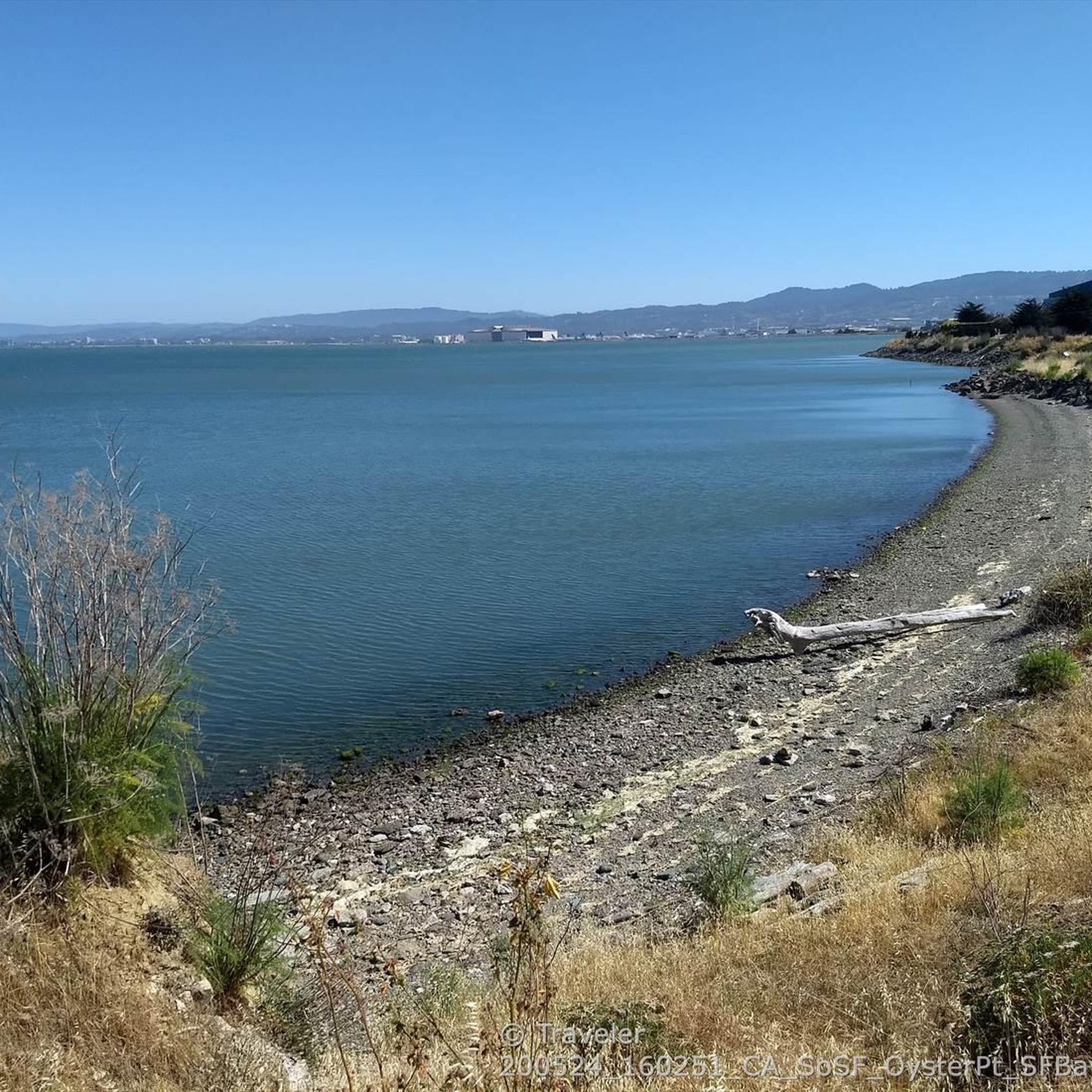
The road along the lagoon has wide cycle paths on both sides and low traffic into Oyster Park. It is however exposed to high winds so take care when riding. Smooth road right by the clear water in the shadow of Mt. Bruno make for a great bypass between SF and South SF that avoids the high traffic Bayshore Blvd and the hill.
0
0

In the 1870s and 1880s, Golden Gate Park was planted on sand dunes and required substantial irrigation. In 1902, the Park Commission authorized the construction of two windmills to pump groundwater for park irrigation rather than purchasing water at exorbitant costs from the Spring Valley Water Company. The Murphy Mill was completed in 1908,[4] and pumped 40,000 US gallons (150,000 L) per hour to the park.
0
0
In the 1870s and 1880s, Golden Gate Park was planted on sand dunes and required substantial irrigation. In 1902, the Park Commission authorized the construction of two windmills to pump groundwater for park irrigation rather than purchasing water at exorbitant costs from the Spring Valley Water Company. The Murphy Mill was completed in 1908,[4] and pumped 40,000 US gallons (150,000 L) per hour to the park.
0
0

Top notch boke and pedestrian path with cool breezes and blue views. When it's too busy due to pedestrains, you can ride on the road that parallels below the path, it's quiet.
0
0

Good vantage point.
0
0
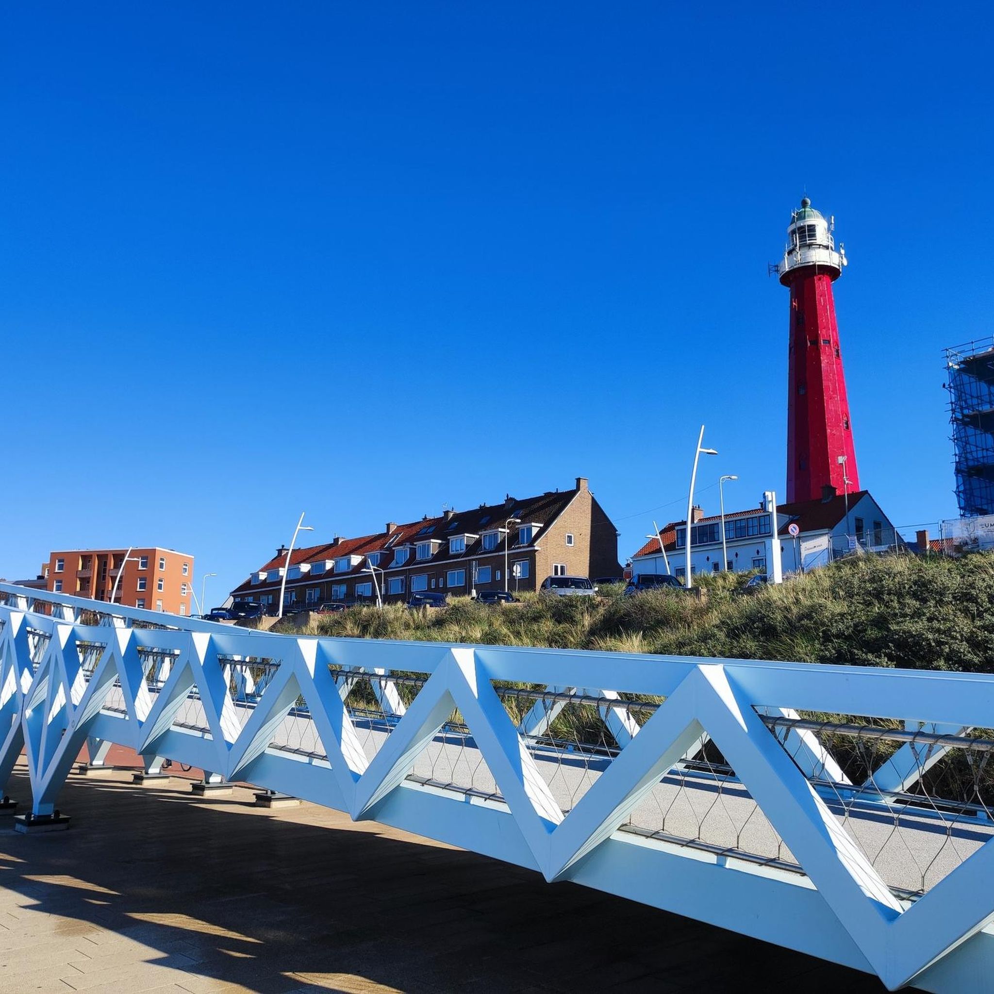
The bridge is more delicate than it appears at first glance.
0
0

The sculpture depicts "living-giving science" according to its artist, Marco Cochrane. It stands 24 feet tall, and was erected in front of biotech company Genesis Towers in 2020 to represent their mission. It shows a man and woman standing on top of a DNA strand, holding their hands in the shape of a heart.
1
0

Tropical greenhouses surrounded by hilly trails and lawns
1
0
Frequently Asked Questions
How many road cycling routes are available around South San Francisco?
There are nearly 30 road cycling routes around South San Francisco, offering a diverse range of experiences. You'll find everything from easy, flat rides along the bay to more challenging routes with significant climbs into the hills and around reservoirs.
What are the typical difficulty levels for road cycling routes in this region?
Road cycling routes in South San Francisco cater to a wide range of abilities. You can find 16 easy routes, perfect for a relaxed ride, and 13 moderate routes that offer more challenge with elevation gains. There are no routes classified as difficult, making the area accessible for many cyclists.
Are there any scenic routes with notable landmarks or natural features?
Absolutely! Many routes offer stunning views and pass by significant natural features. For example, the San Andrea's Lake View – San Andreas Lake loop takes you around the beautiful San Andreas Lake. Another highlight is the Gray Whale Cove State Beach – Egg Rock — Devil's Slide loop, which includes the iconic Devil's Slide Bikeway, offering breathtaking coastal vistas.
What is the best time of year for road cycling in South San Francisco?
South San Francisco generally offers good cycling conditions year-round, but the spring and fall months often provide the most pleasant weather with mild temperatures and less chance of extreme heat or heavy rain. Summer can be foggy, especially along the coast, while winter can bring cooler temperatures and occasional wet weather.
Are there any family-friendly road cycling options in South San Francisco?
Yes, for families or those seeking an easier ride, the San Francisco Bay Trail is an excellent choice. It's an easy, paved route offering scenic views along the bay. Additionally, the Centennial Way within South San Francisco is a three-mile, Class I asphalt pathway, providing a local and accessible option for biking and walking.
Where can I find parking for road cycling routes in South San Francisco?
Parking availability varies by route. For routes around San Andreas Lake or Crystal Springs Reservoir, there are often designated parking areas near trailheads. For routes like the San Francisco Bay Trail, you can often find parking in nearby parks or public lots. For specific routes, it's always best to check the route details on komoot for recommended starting points and parking information.
Can I access road cycling routes using public transport?
South San Francisco's location offers good access to public transport options. BART (Bay Area Rapid Transit) and Caltrain both serve the area, and many routes are accessible from stations. Bikes are generally allowed on both BART and Caltrain, though there may be restrictions during peak hours. Check their respective websites for current rules and schedules.
Are there any loop routes for road cycling in the area?
Yes, there are several excellent loop routes. Popular options include the Brisbane Lagoon – Guadelupe Canyon Parkway loop from South San Francisco, which offers a moderate challenge through a canyon parkway. Another favorite is the Oyster Point Park & Beach – Brisbane Lagoon loop, leading through coastal parkland and a lagoon.
What do other road cyclists enjoy most about cycling in South San Francisco?
The area is highly rated by the komoot community, with an average score of 5.0 stars from over 8 reviews. Cyclists frequently praise the diverse terrain, from flat bay trails to challenging climbs, and the stunning scenic views, especially along the coast and around the lakes and reservoirs. The variety ensures there's something for every fitness level.
Are there any specific permits required for road cycling on trails or in parks?
Generally, no specific permits are required for road cycling on most public roads and designated bike paths in South San Francisco. However, for certain regional parks or specific trails, especially those managed by San Mateo County Parks, it's always advisable to check their official regulations. For example, cycling through San Bruno Mountain State & County Park might have specific rules.
Are there any cafes or places to stop for refreshments along the routes?
While specific cafes directly on every route can vary, many routes pass through or near urban areas like South San Francisco and Brisbane, where you'll find various cafes, restaurants, and shops for refreshments. For routes around San Andreas Lake, you might find options in nearby communities. Planning your stops in advance is recommended, especially on longer rides.
Can I bring my dog on road cycling routes in South San Francisco?
Dog policies vary significantly by trail and park. While some paved paths and urban trails like Centennial Way may allow leashed dogs, natural areas and reservoirs often have stricter rules to protect wildlife and water quality. For instance, the Sawyer Camp Trail, which runs alongside San Andreas Lake, generally does not permit dogs. Always check the specific regulations for each trail or park before heading out with your dog.
What are some of the highest elevation gains I can expect on routes here?
While many routes offer gentle inclines, some provide significant elevation challenges. For example, the Gray Whale Cove State Beach – Egg Rock — Devil's Slide loop features an elevation gain of nearly 787 meters (2,582 feet), offering a substantial workout and rewarding views. Routes around San Bruno Mountain also involve considerable climbing.
Most popular routes around South San Francisco
Most popular attractions around South San Francisco

Get inspired with the komoot mobile app


Explore more
Browse the best Road cycling routes in other regions.
