The 20 Most Amazing Peaks around Tschiertschen-Praden
Best mountain peaks around Tschiertschen-Praden are found in a municipality in the Swiss canton of Graubünden. The region is characterized by a diverse array of mountain peaks, offering varied experiences for outdoor enthusiasts. These peaks provide panoramic views and trails for different activity levels. The area is a hub for both summer and winter activities, with options for hiking, skiing, and mountain biking.
Best mountain peaks around Tschiertschen-Praden
- The most popular mountain peaks is Weisshorn Summit (2,653 m), a…
Last updated: May 9, 2026
Parpaner Rothorn Summit
Highlight • Summit
Translated by Google •
Tip by

Dreibündenstein Monument
Highlight • Monument
Translated by Google •
Tip by

Sign up now to discover places like this
Get recommendations on the best single tracks, peaks, & plenty of other exciting outdoor places.
Sign up for free
Weisshorn Summit (2,653 m)
Highlight • Summit
Translated by Google •
Tip by
Lenzerheide
Highlight • Settlement
Translated by Google •
Tip by

Hörnli Trail Summit
Highlight • Summit
Translated by Google •
Tip by
Sign up for free to discover even more peaks around Tschiertschen-Praden.
Sign up for free
Already have an account?
Start today with a free account
Your next adventure awaits.
Login or Signup
Popular around Tschiertschen-Praden
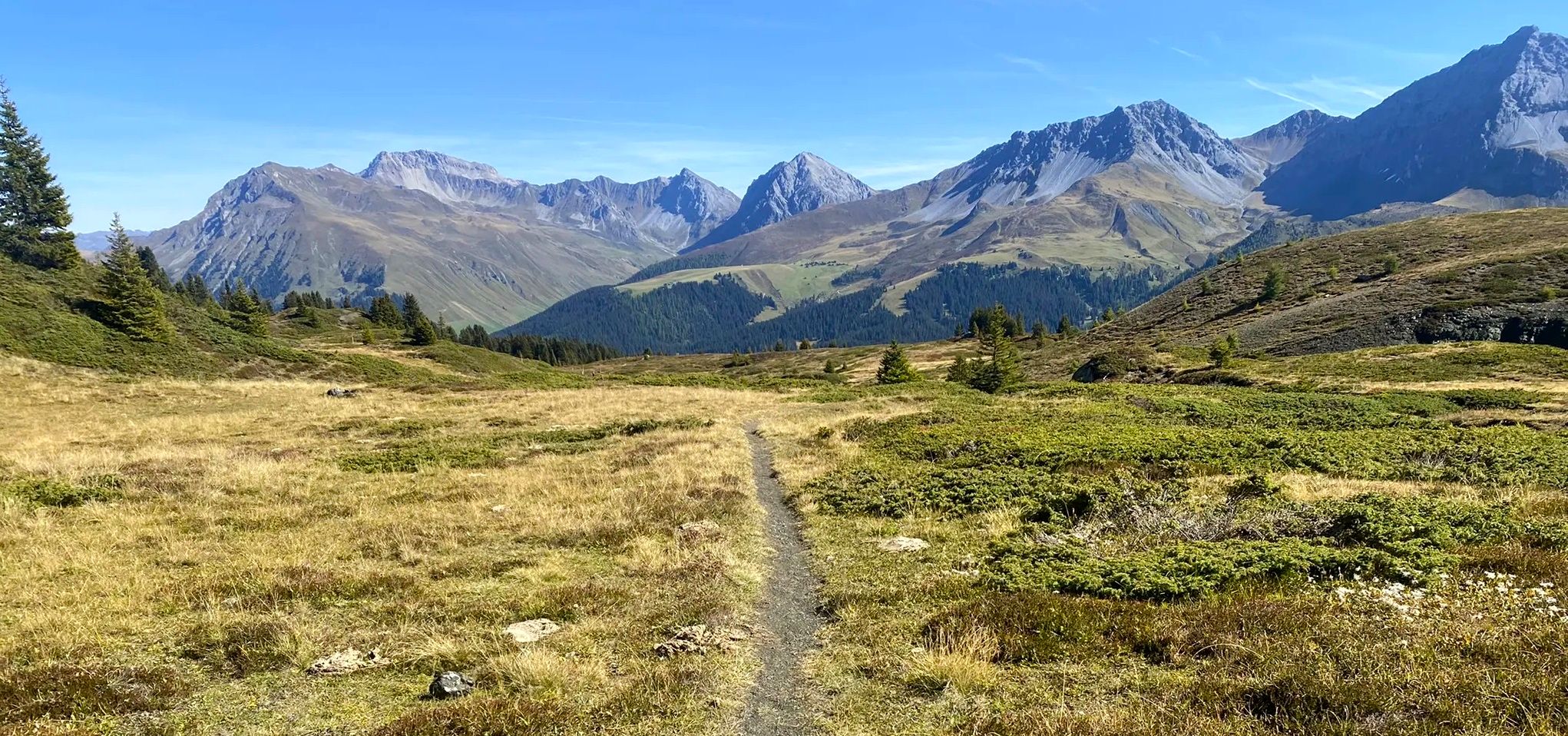
Explore an entire valley on foot - Schanfigger Höhenweg

On ancient paths towards Santiago — the Way of St. James Graubünden
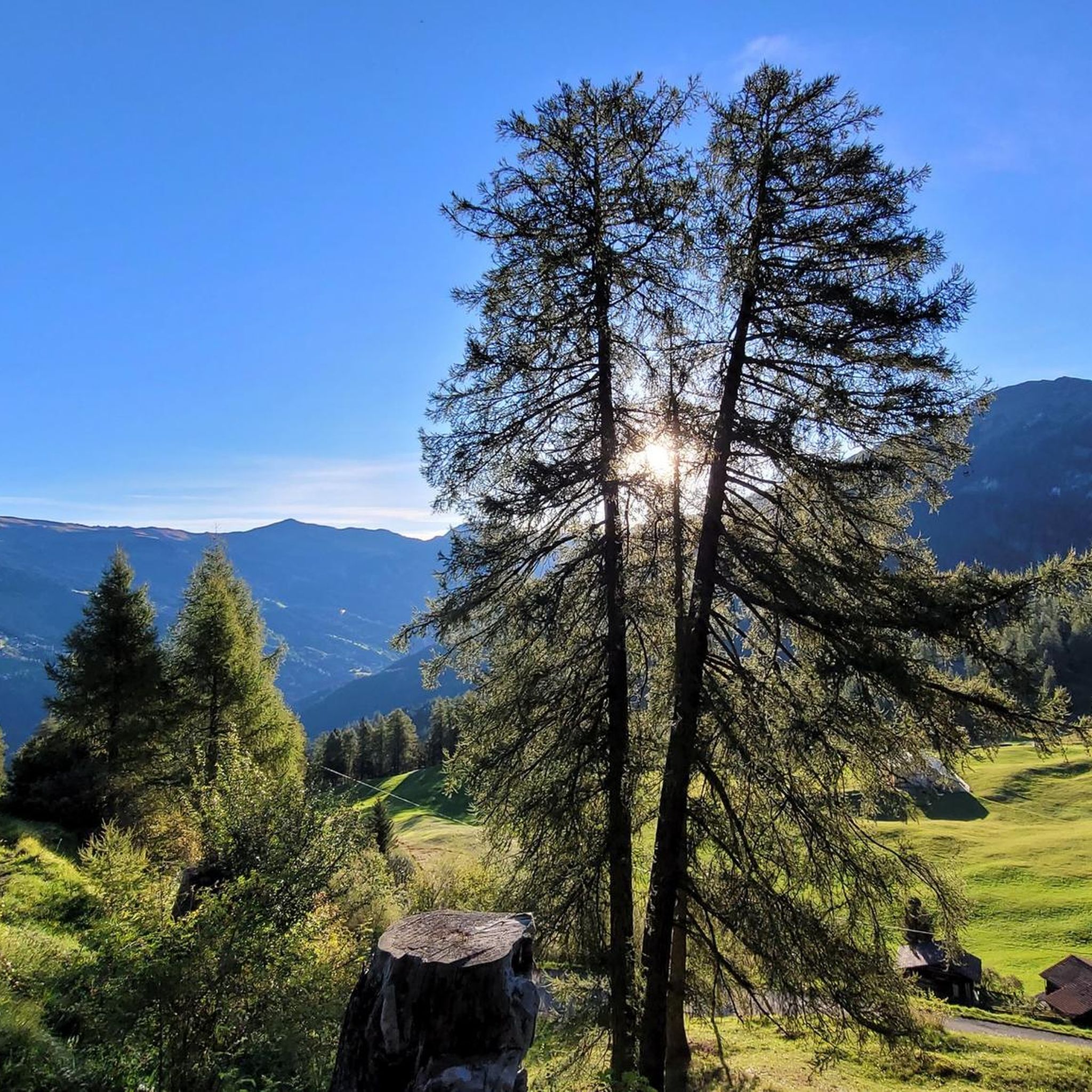
MTB Trails around Tschiertschen-Praden
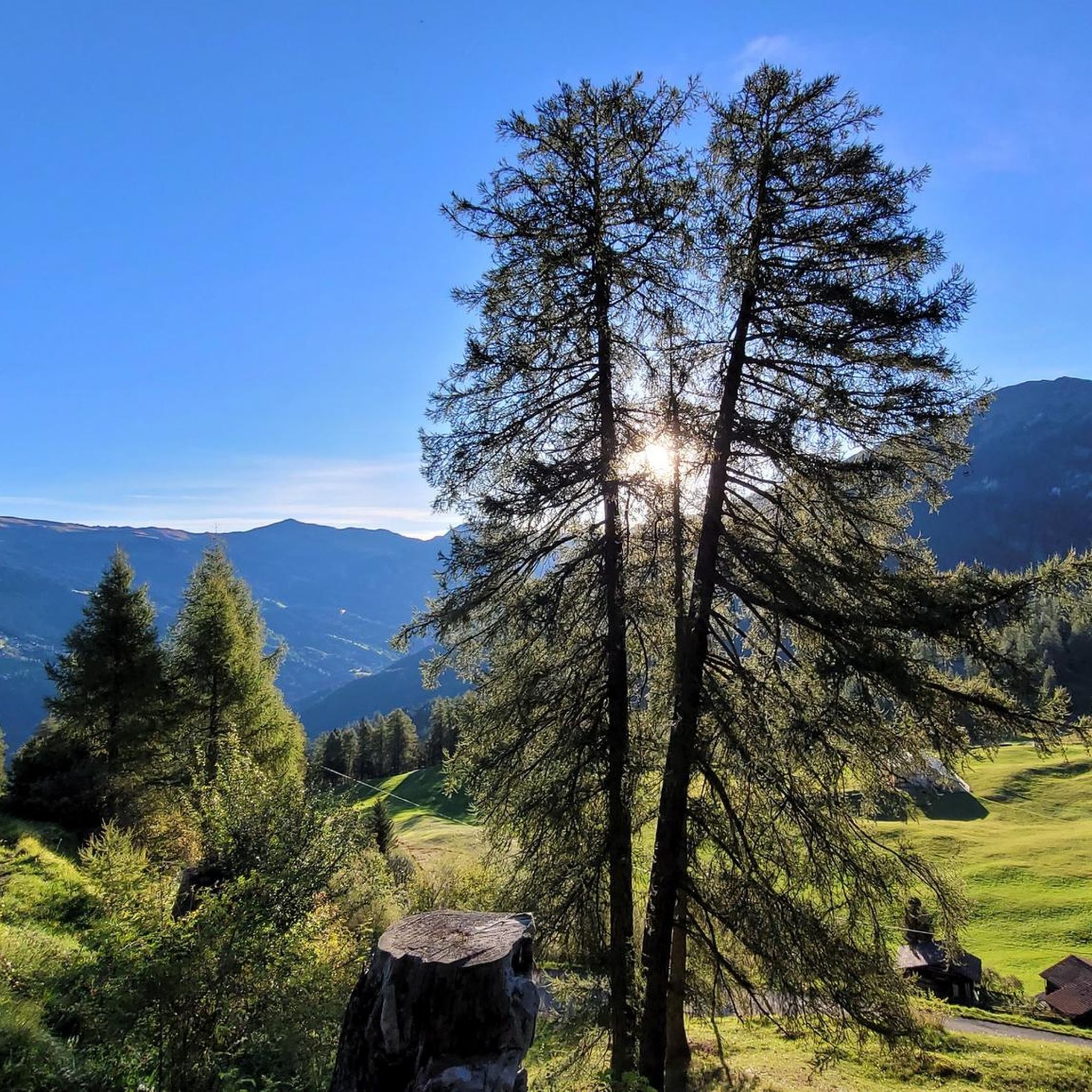
Road Cycling Routes around Tschiertschen-Praden
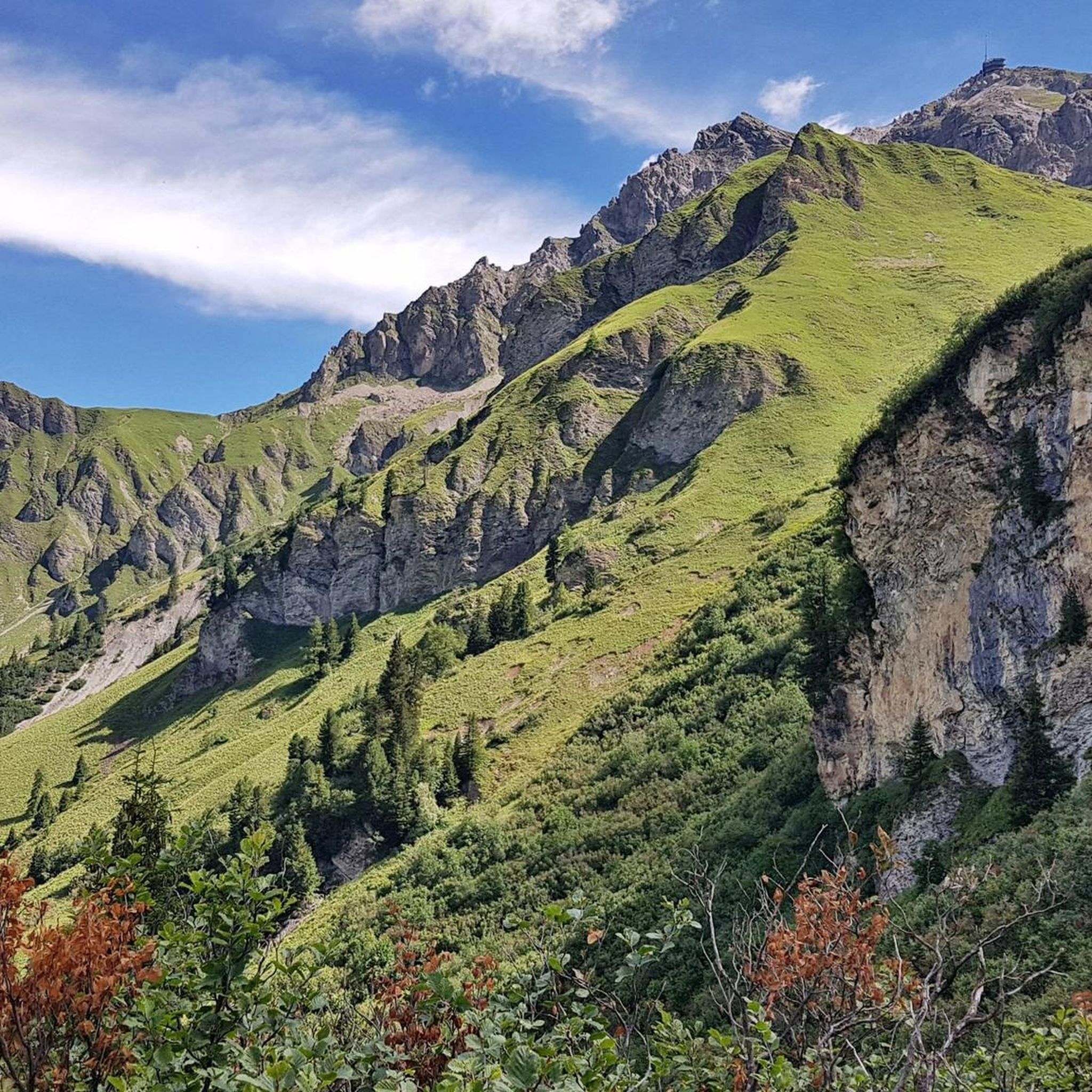
Cycling around Tschiertschen-Praden
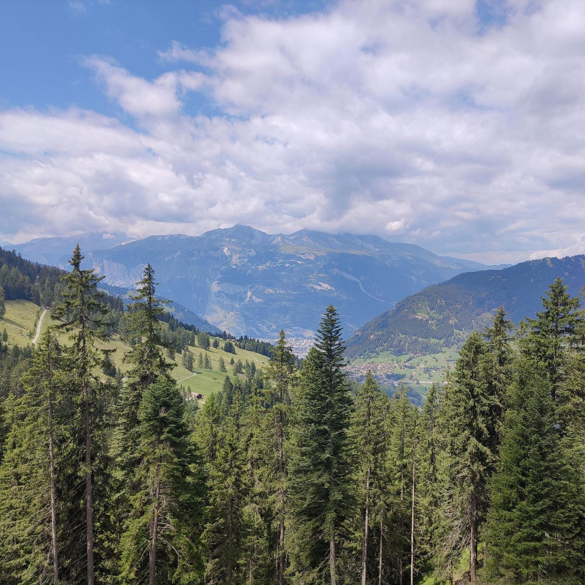
Hiking around Tschiertschen-Praden
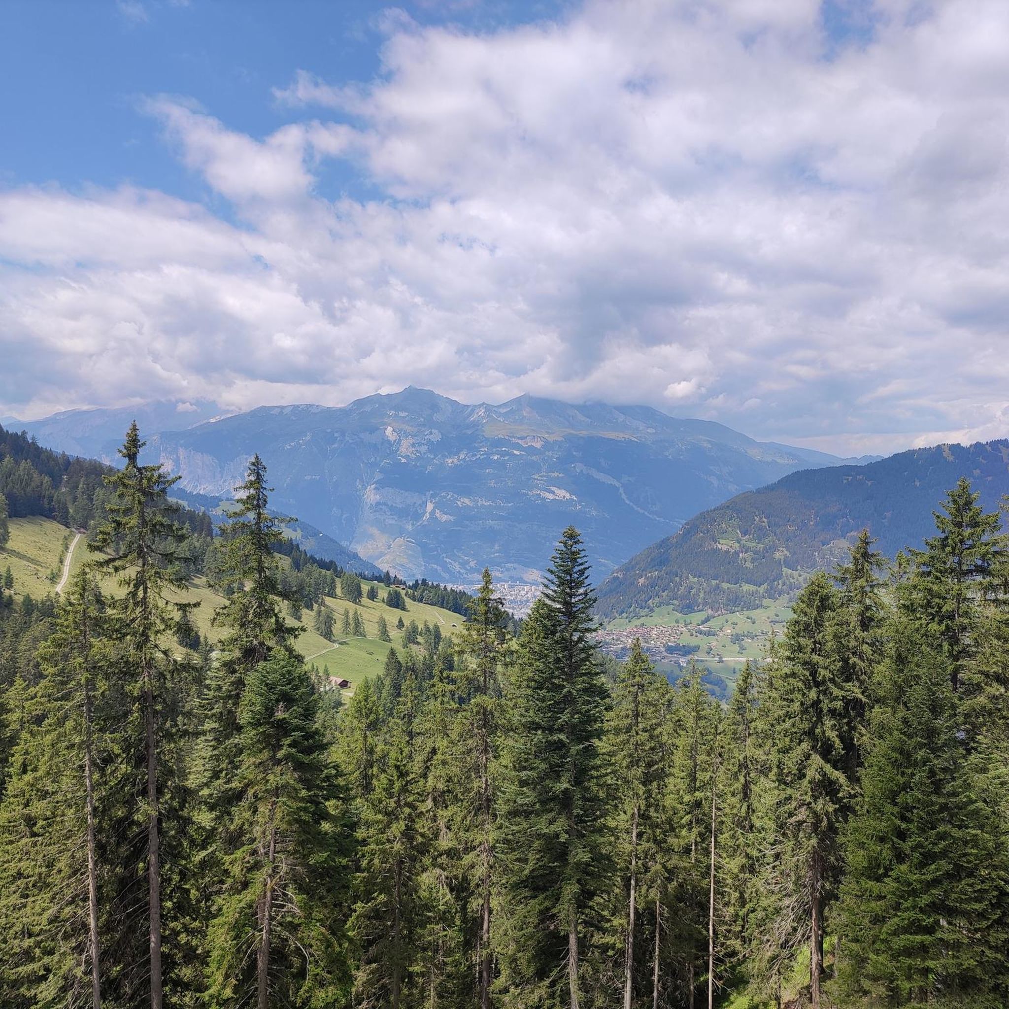
Running Trails around Tschiertschen-Praden

Gravel biking around Tschiertschen-Praden


Tips from the Community

Prepare for a long, exhausting but amazing 2000 descent!
0
0

Top view into the distance and of Arosa
0
0

The easiest way to reach the Hörnligrat by bike, and with the least amount of effort, is by taking the Hörnli Express gondola from Innerarosa. From here, you can then head back down to the valley in virtually any direction. The flowing Hörnli Trail back to Arosa is particularly popular. The other trails (which are not designated trails, so be careful of hikes) are also very worthwhile, although some are a bit more challenging (e.g., to Lake Urden, S3).
2
0

There are two ways to reach the Parpaner Rothorn: either by taking the cable car or by embarking on a challenging and strenuous hike. If you choose the latter option, you'll need sturdy footwear. Surefootedness and a head for heights are also beneficial on the ascent, ensuring you reach the summit safely. Next to the cable car station, there's also a panoramic restaurant where you can recharge with fine dining after a strenuous hike.
2
2
You can reach the 2,653-meter-high summit of the Weisshorn either by taking a strenuous but very worthwhile hike, or by taking the cable car in a very relaxed manner while sitting down. A fantastic view in all directions awaits you at the top.
2
0

The Dreibündenstein in Graubünden is a hill at an altitude of 2,156 metres south of the city of Chur and the Furggabüel mountain, which is at an altitude of 2,174 metres. They are only separated by a 15-metre-high saddle and a distance of 500 metres. The point is not a mountain peak, but a historical place. It was the only triple border point of the former Free State of the Three Leagues. The original stone from 1722 is on display in the Rätschen Museum in Chur. The replacement stone from 1915 bears the three coats of arms of the Three Leagues. The Three Leagues included the Grey League with the judicial community of Rhäzüns, the Church League of Ortenstein Castle and the Ten Courts League of Churwalden.
4
0
Frequently Asked Questions
Which mountain peaks offer the most spectacular panoramic views around Tschiertschen-Praden?
For truly spectacular panoramic views, the Weisshorn Summit (2,653 m) is highly recommended. It provides a 360-degree vista encompassing over 400 mountain peaks in Switzerland and neighboring countries. Another excellent choice is the Parpaner Rothorn Summit, offering magnificent views of Lenzerheide, high valleys, and numerous peaks. The Gürgaletsch, known as 'the mountain of Tschiertschen,' also provides beautiful views of the Schanfigg Valley and extends to the Glarus and Bernese Alps.
Are there any family-friendly mountain peaks or accessible viewpoints in the region?
Yes, the Weisshorn Summit (2,653 m) is very accessible, as you can reach it by cable car from Arosa, making it suitable for families and those seeking stunning views without technical mountaineering. The Urdenfürggli, accessible by the Urdenbahn cable car, also serves as an excellent starting point for scenic hikes between Arosa and Lenzerheide, catering to various activity levels.
What historical sites or unique landmarks can be found among the peaks?
The Dreibündenstein Monument is a significant historical site. This monument marks the former border point of the Free State of the Three Leagues, with its replacement stone from 1915 bearing the three coats of arms of the Leagues. It's located on a hill at an altitude of 2,156 meters south of Chur.
What are the best options for challenging mountain hikes around Tschiertschen-Praden?
For enduring and experienced hikers, the ascent to Parpaner Schwarzhorn (2,683 meters) is considered the 'crown of the Tschiertscher mountain tours.' It offers magnificent panoramic views in all directions, making the long ascent worthwhile. The Weisshorn Summit (2,653 m) can also be reached via a strenuous but very rewarding hike.
What kind of outdoor activities can I do near these mountain peaks?
The region offers a variety of outdoor activities. You can find numerous hiking trails, including moderate to difficult routes like the 'Furgglis Hut – Tschiertschen loop' or 'Tschiertschen – Furgglis Hut loop'. For more options, explore the Hiking around Tschiertschen-Praden guide. Mountain biking is also popular, with trails like the flowing Hörnli Trail from the Hörnli Trail Summit. Cycling routes are available, such as the 'Tschiertschen – Ochsenalp Mountain Hut loop' found in the Cycling around Tschiertschen-Praden guide.
Are there any specific peaks known for their natural beauty or unique flora?
The Joch, a prominent viewpoint, is known for its rich and colorful alpine flora, especially in early summer. The Alpstein, a local peak near Tschiertschen, features hiking paths through sparse larch forests and offers views of the 'walls of Alpstein' and the rocky peaks of the Tschinglagrat.
What do visitors enjoy most about the mountain peaks around Tschiertschen-Praden?
Visitors consistently praise the fantastic and extensive views from the summits, with many highlighting the 360-degree panoramas. The accessibility of some peaks via cable car, combined with the option for challenging hikes, is also highly appreciated. The region's diverse trails for hiking, biking, and skiing, along with unique features like the Dreibündenstein Monument, contribute to a rich and varied experience.
What is the best time of year to visit the mountain peaks in Tschiertschen-Praden?
The region offers both summer and winter activities. Summer is ideal for hiking and mountain biking, with early summer being particularly beautiful for experiencing the alpine flora at viewpoints like the Joch. Winter provides opportunities for skiing and other snow sports. Some cable cars, like the one to Parpaner Rothorn Summit, even offer sunrise rides with breakfast in both seasons.
Are there any easy mountain hikes near Tschiertschen-Praden suitable for beginners?
While many peaks offer challenging ascents, the area around the Joch provides a relatively accessible yet rewarding experience with pleasant ascents. The Weisshorn Summit (2,653 m) is also accessible by cable car, allowing for an easy high-alpine experience without strenuous hiking. The Urdenfürggli also offers multi-use trails, some designated 'blue difficulty' for biking, which can indicate easier terrain for walking in parts.
Where can I find running trails near the mountain peaks?
There are several running trails available in the vicinity. You can explore routes like the 'Hotel Gspan – Maran Dairy loop from Arosa' or the 'View of Churwalden – Parpan loop from Parpan'. For a comprehensive list of options, refer to the Running Trails around Tschiertschen-Praden guide.
Which mountain peaks offer good starting points for multi-day tours or connecting different valleys?
The Urdenfürggli (2,546 meters) serves as a significant point between Arosa and Lenzerheide. It's an excellent starting point for scenic hikes, including routes through the Urdental, connecting the two valleys. The Hörnli Trail Summit is also a popular starting point for various tours.
Are there any mountain peaks that are particularly popular for paragliding?
The Weisshorn (Arosa's Weisshorn) is noted for favorable wind conditions, making it a suitable location for paragliding. Its accessible summit and spectacular views add to its appeal for this activity.
Most popular routes around Tschiertschen-Praden
Most popular attractions around Tschiertschen-Praden

Get inspired with the komoot mobile app


Explore more
See even more amazing summits around Tschiertschen-Praden with these guides:
