The best gravel rides around Tschiertschen-Praden
4.4
(81)
853
riders
39
rides
Gravel biking around Tschiertschen-Praden offers diverse terrain within the picturesque Schanfigg Valley, characterized by carved valleys, sunny terraces, and extensive forests. The region features varied surfaces, from quiet roads to mountain trails, providing both challenging ascents and enjoyable descents. Tschiertschen village, at 1,350 meters above sea level, provides scenic vantage points of the valley. Surrounding mountains, some exceeding 2,000 meters, contribute to the alpine landscape.
Best gravel bike trails around Tschiertschen-Praden
- The most popular gravel bike trail is Kunkelsstrasse –…
Last updated: May 21, 2026
4.7
(32)
289
riders
60.5km
04:04
1,080m
1,080m
Hard gravel ride. Very good fitness required. Mostly paved surfaces. Suitable for all skill levels.
5.0
(1)
15
riders
32.1km
03:02
1,080m
1,080m
Hard gravel ride. Very good fitness required. Mostly paved surfaces. Suitable for all skill levels.

Sign up for free
15
riders
20.8km
02:11
810m
810m
Hard gravel ride. Very good fitness required. Mostly paved surfaces. Suitable for all skill levels.
4.5
(2)
14
riders
53.8km
04:14
1,450m
1,450m
Hard gravel ride. Very good fitness required. Mostly paved surfaces. Suitable for all skill levels.
2.0
(1)
13
riders
Hard gravel ride. Very good fitness required. Mostly paved surfaces. Suitable for all skill levels.
Get access to more routes and recommendations from other explorers.
Sign up for free
Already have an account?
Our route recommendations are based on thousands of hikes, rides, and runs completed by other people on komoot.
Start today with a free account
Your next adventure awaits.
Login or Signup
Popular around Tschiertschen-Praden
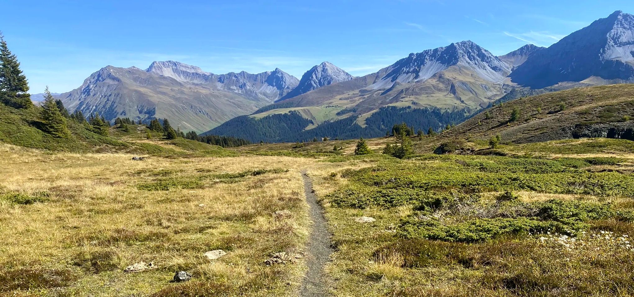
Explore an entire valley on foot - Schanfigger Höhenweg

On ancient paths towards Santiago — the Way of St. James Graubünden
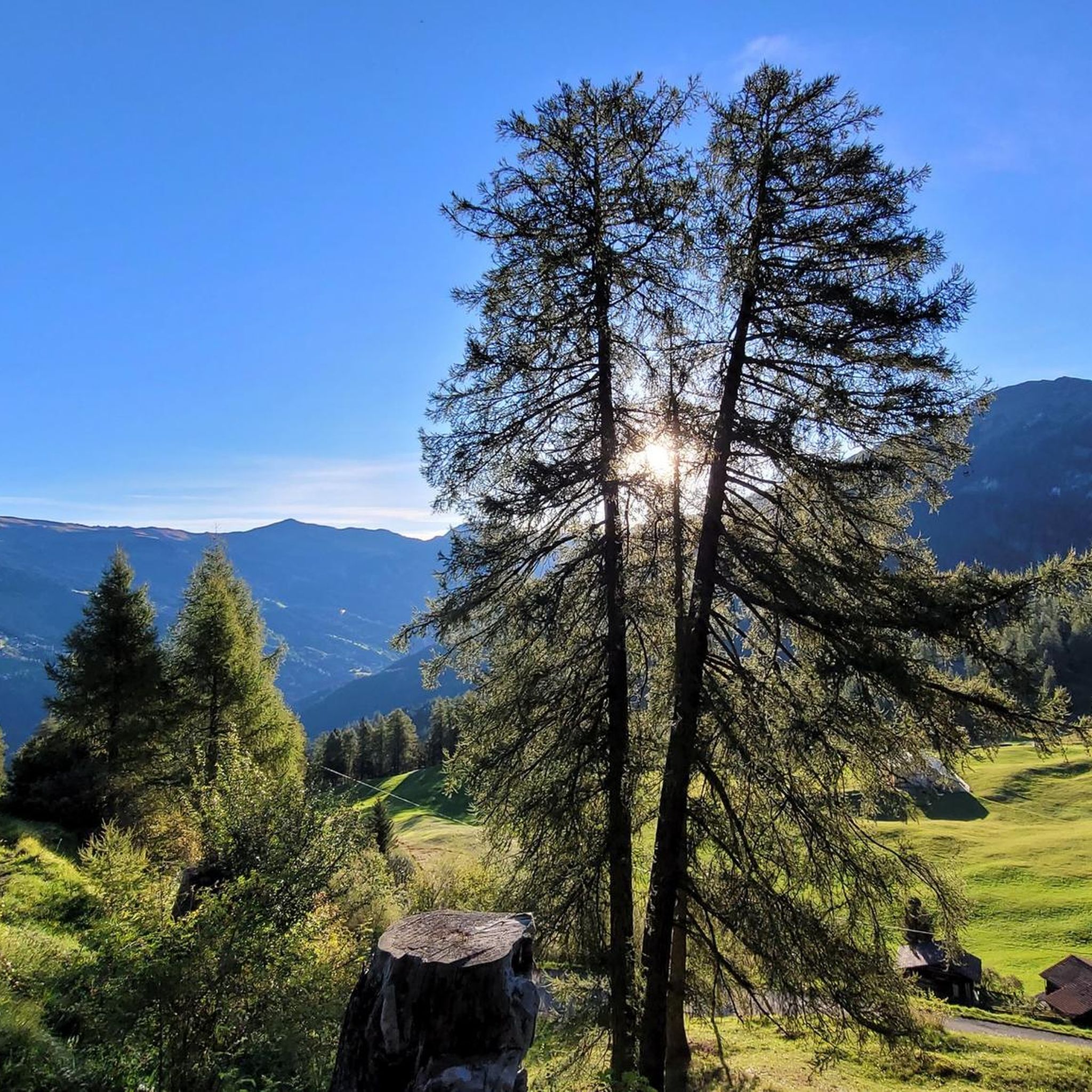
MTB Trails around Tschiertschen-Praden
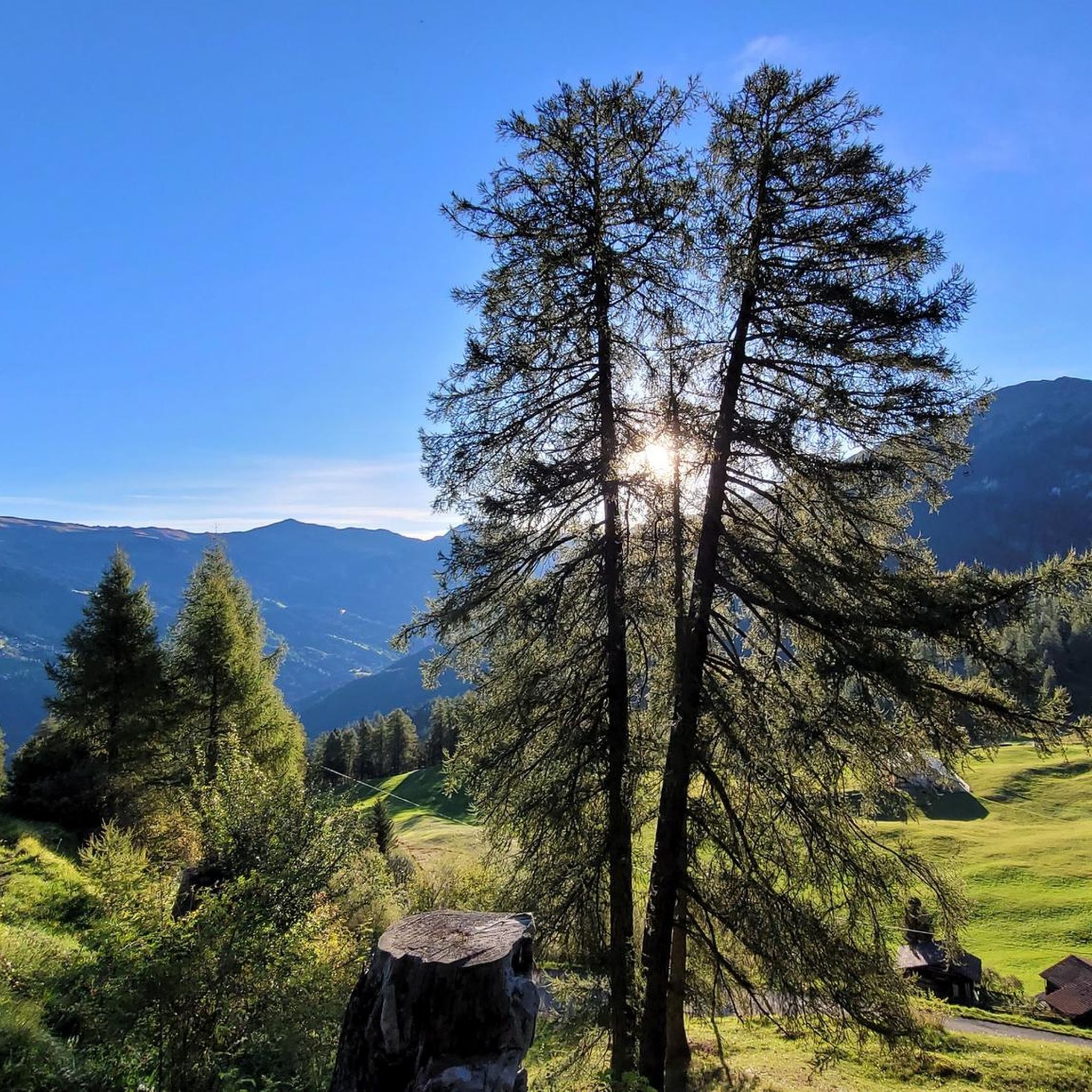
Road Cycling Routes around Tschiertschen-Praden
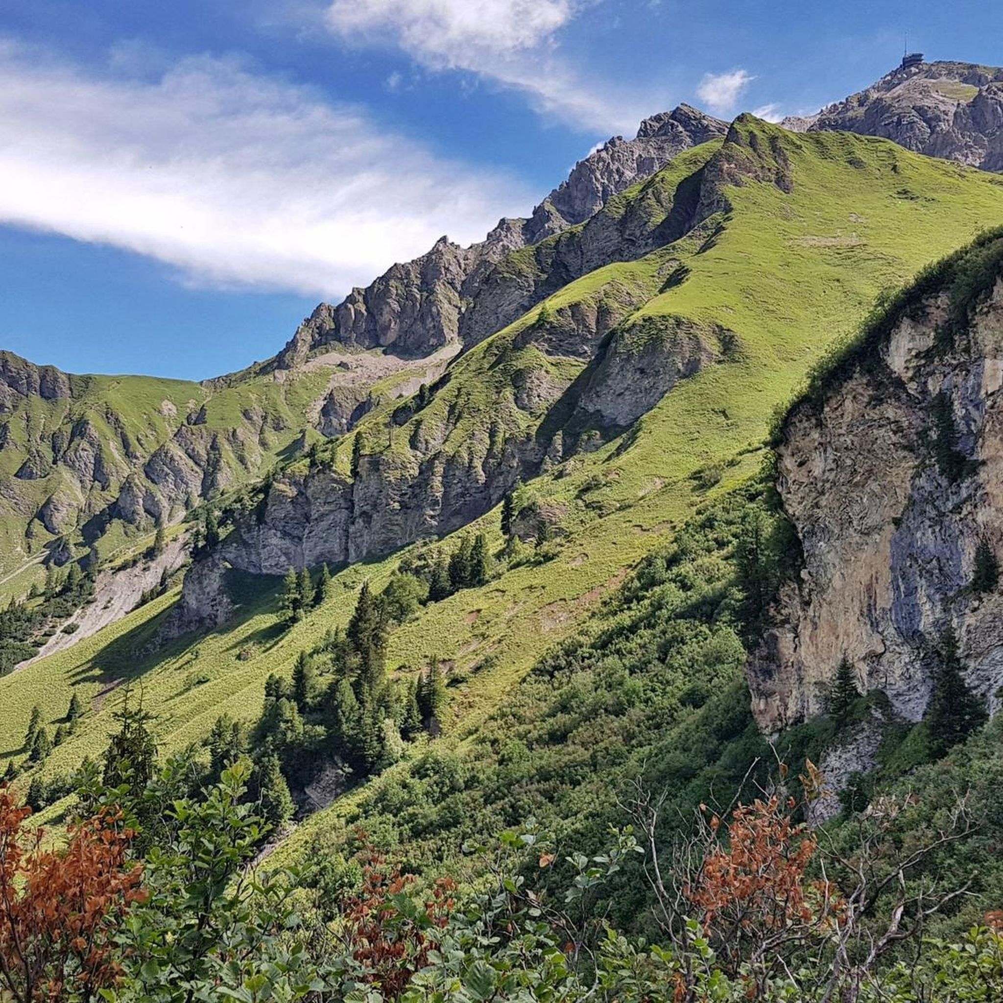
Cycling around Tschiertschen-Praden
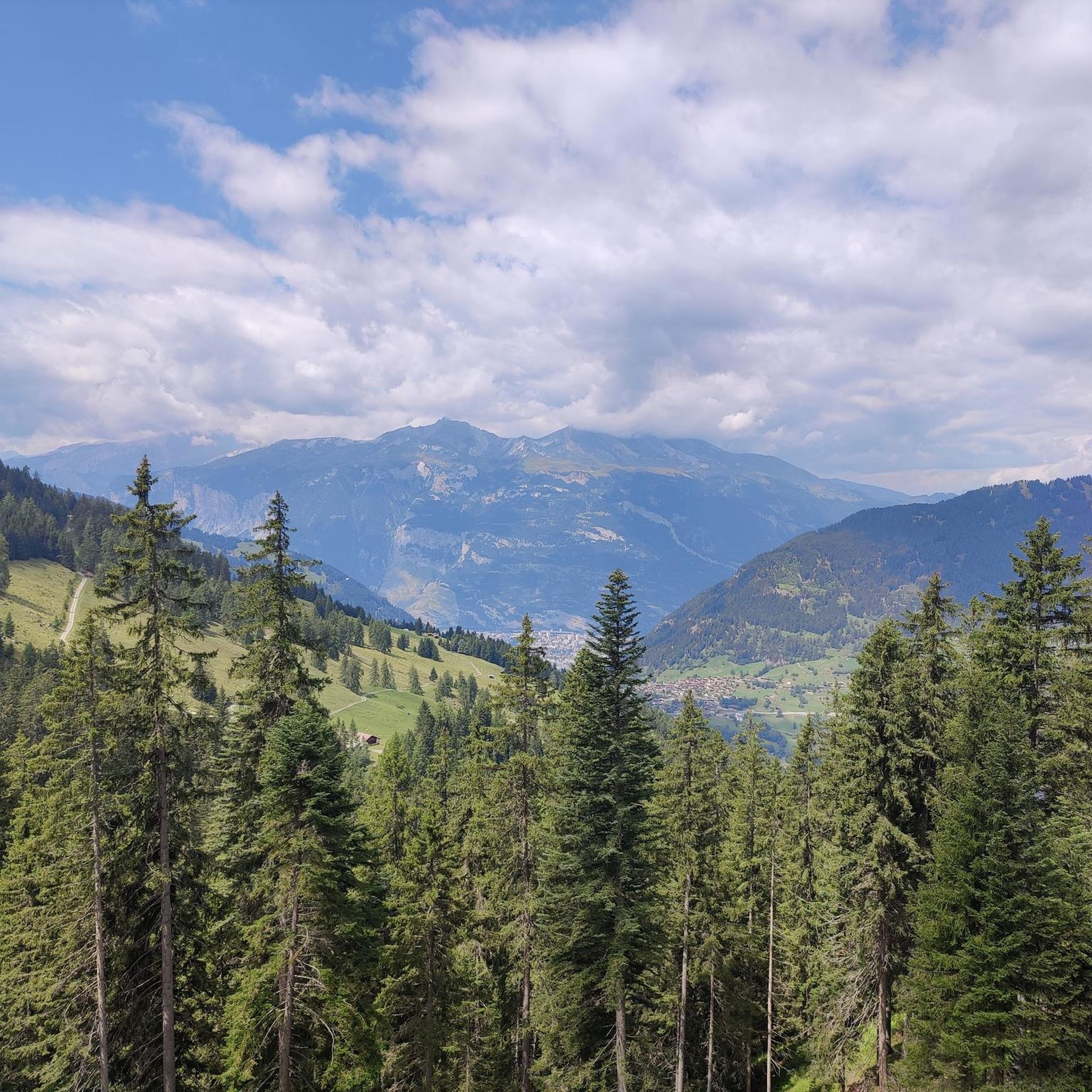
Hiking around Tschiertschen-Praden
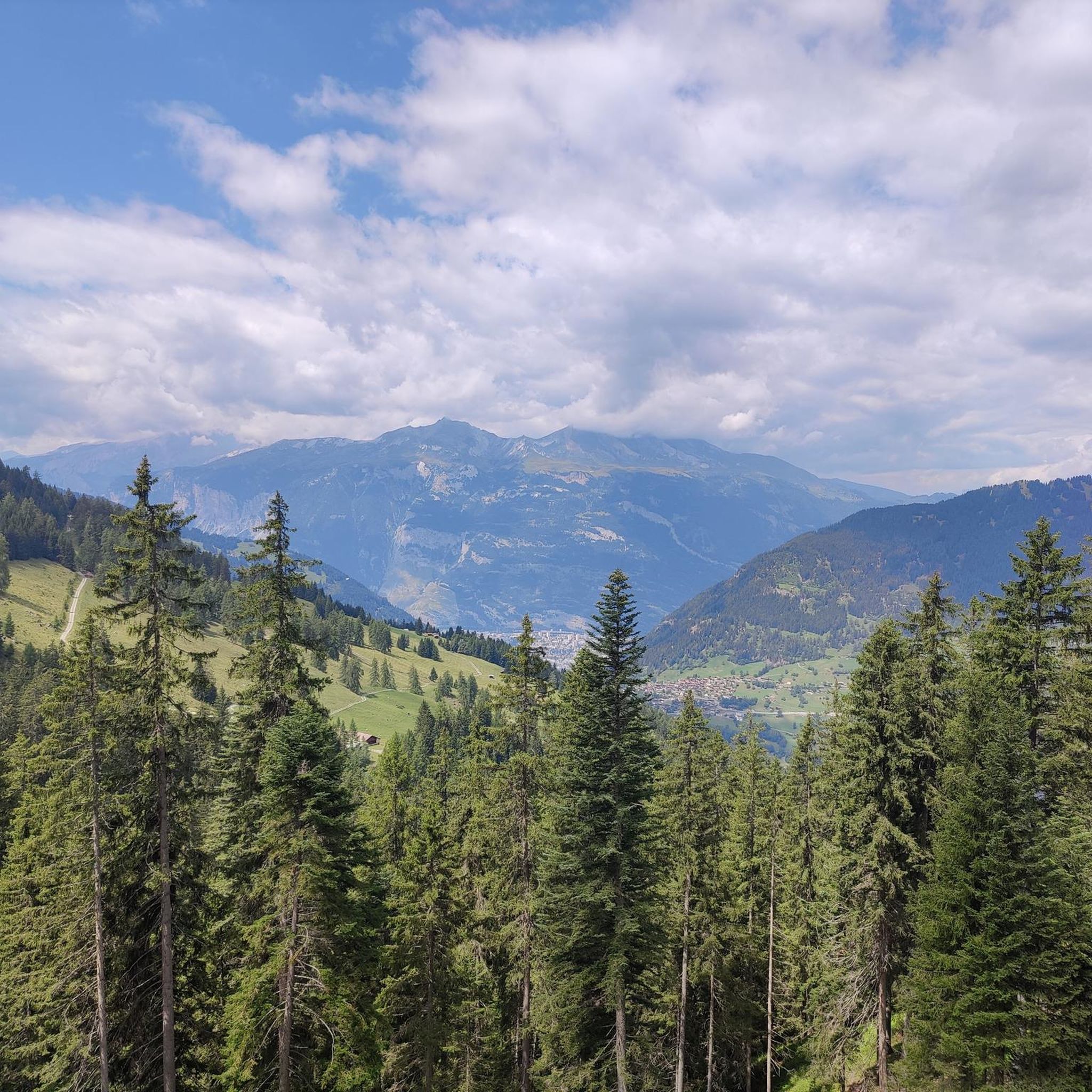
Running Trails around Tschiertschen-Praden


Tips from the Community

We expected this to be a covered wooden bridge and were looking forward to sheltering from the rain in it, but alas, this modern wooden bridge does NOT provide cover from rain.
0
0

Winter hiking with a gigantic panoramic view
0
0

Also recommended in winter
0
0

There's no car traffic on this road. There's still an incline.
0
0

Tratt Bridge, Landquart, 1992 Tratt Bridge over the Landquart River, Malans GR – Igis Built in 1992 Project: Civil Engineering Department of the Canton of Graubünden
15
0

A challenging climb with beautiful scenery and virtually no motorized traffic. However, it's only partially recommended for road bikes, as it's a dead end and the ruts in the concrete on the descent are annoying and spoil the fun.
0
0

Beautiful and unique building.
0
0
Impressive structure (length: 475 m, span: 260 m, height: 200 m).
0
0
Frequently Asked Questions
How many gravel bike trails are available around Tschiertschen-Praden?
There are over 45 gravel bike trails around Tschiertschen-Praden. The network offers a wide range of options, with 2 easy, 16 moderate, and 30 difficult routes, catering to various skill levels.
What kind of terrain can I expect on gravel bike trails in Tschiertschen-Praden?
Gravel biking in Tschiertschen-Praden offers diverse terrain within the picturesque Schanfigg Valley. You can expect varied surfaces, from quiet roads and forest paths to challenging mountain trails, all set against a backdrop of stunning alpine peaks and lush meadows. The region is known for its carved valleys and sunny terraces.
When is the best time of year for gravel biking in Tschiertschen-Praden?
The best time for gravel biking in Tschiertschen-Praden is generally from late spring through early autumn. During these months, the weather is most favorable, and the trails are clear of snow, allowing access to the higher alpine routes and offering pleasant conditions for exploring the valley and mountain passes.
Are there any long-distance gravel routes in the area?
Yes, for those seeking a longer challenge, consider the Kunkelsstrasse – Kunkel Pass loop from Chur. This difficult route spans 37.6 miles (60.5 km) and features a significant mountain pass ascent, offering a rewarding long-distance experience.
What do other gravel bikers say about the trails in Tschiertschen-Praden?
The gravel biking routes in Tschiertschen-Praden are highly rated by the komoot community, with an average score of 4.4 stars from over 90 reviews. More than 1000 gravel bikers have used komoot to explore the varied terrain, often praising the scenic alpine landscapes and the diverse range of trails available.
Are there any routes that offer views of lakes or other natural features?
Yes, several routes provide stunning views of natural features. For instance, the Ochsenalp Mountain Hut – Iselsee (Arosa Reservoir) loop from Arosa offers beautiful alpine scenery and views of the Iselsee. You can also find routes near the Urdensee, a picturesque lake nestled in a side valley, or explore the area around the Pradner Mineralquelle (mineral spring) below Praden.
Can I find routes that pass through charming villages or historical sites?
Absolutely. The region is rich in cultural heritage. Tschiertschen village itself, voted one of Graubünden's most beautiful, features a picturesque historic center with traditional wooden houses. Praden also boasts a protected church with one of Graubünden's oldest organs. While not directly on a gravel route, the Lenzerheide area, accessible via some routes, is a notable settlement. The Dreibündenstein Monument, a historical site, is also within the broader region.
Are there any routes suitable for advanced gravel bikers looking for a challenge?
Yes, the region offers numerous challenging routes. For advanced riders, the Rhine Riverside Trail – Alpe Zanutsch loop from Chur is a difficult 33.4-mile (53.7 km) route with significant elevation gain. Many of the 30 difficult routes in the area will provide the challenge you're looking for, often involving substantial climbs and technical descents.
Are there any circular gravel bike routes in Tschiertschen-Praden?
Yes, many of the gravel bike trails in Tschiertschen-Praden are designed as loops, allowing you to start and end in the same location. Examples include the Kunkelsstrasse – Kunkel Pass loop from Chur and the Rot Tritt viewpoint – Obersee loop from Weisshorn, which offer varied scenery on a circular path.
Where can I find parking for gravel biking in Tschiertschen-Praden?
Tschiertschen-Praden, being a popular outdoor destination, offers various parking options. You'll typically find designated parking areas within the villages of Tschiertschen and Praden, as well as at common trailheads. It's advisable to check local signage upon arrival for specific parking regulations and fees.
Is it possible to access gravel trails using public transport?
Yes, Tschiertschen-Praden is well-integrated into the regional public transport network, making it possible to access many gravel trails without a car. Buses connect Tschiertschen and Praden with Chur, which is a major transport hub. This allows for flexible planning, including one-way rides or starting tours from different points along the valley.
Are there any viewpoints or panoramic spots accessible by gravel bike?
The region is renowned for its panoramic views. The Rot Tritt viewpoint – Obersee loop from Weisshorn specifically highlights a viewpoint. Additionally, the village of Tschiertschen itself, at 1,350 meters above sea level, offers scenic vantage points of the Schanfigg Valley. Higher mountain passes and summits like the Parpaner Rothorn Summit or Hörnli Trail Summit (accessible via bike parks) provide breathtaking vistas over hundreds of peaks.
Most popular routes around Tschiertschen-Praden
Most popular attractions around Tschiertschen-Praden

Get inspired with the komoot mobile app


Explore more
Browse the best Gravel rides in other regions.
