The best MTB trails around Tschiertschen-Praden
4.5
(4041)
33,690
riders
269
rides
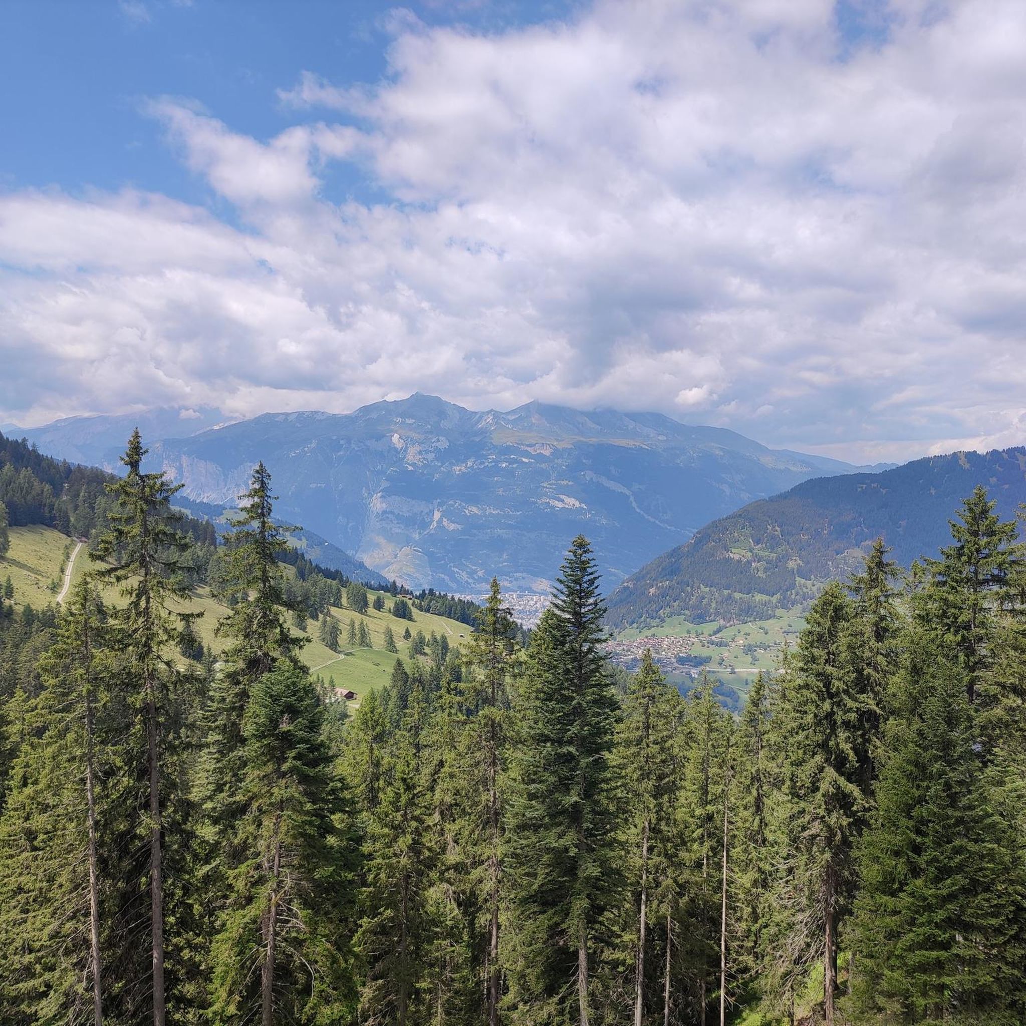
Mountain biking around Tschiertschen-Praden offers diverse terrain within the scenic Schanfigg valley. The region features a landscape of sunny terraces, lush meadows, and extensive forests, surrounded by impressive alpine peaks. Trails often include sections of singletrack and connect to neighboring areas, providing varied riding experiences. The elevation ranges from the village at 1,350 meters to surrounding peaks over 2,000 meters, contributing to challenging climbs and descents.
Best mountain bike trails around Tschiertschen-Praden
- The most popular mountain bike trail is Bike…
Last updated: September 29, 2026
4.8
(92)
1,078
riders
78.1km
06:05
4,940m
5,340m
Hard mountain bike ride. Very good fitness required. Advanced riding skills necessary. Some portions of the route may require you to push your bike.
4.9
(30)
706
riders
27.6km
02:59
2,100m
2,100m
Hard mountain bike ride. Very good fitness required. Advanced riding skills necessary. Some portions of the route may require you to push your bike.

4.9
(46)
323
riders
28.9km
02:41
1,250m
1,250m
Hard mountain bike ride. Very good fitness required. Advanced riding skills necessary. Some portions of the route may require you to push your bike.
4.5
(11)
164
riders
28.4km
02:14
1,680m
1,770m
Hard mountain bike ride. Very good fitness required. Advanced riding skills necessary. Some portions of the route may require you to push your bike.
4.7
(101)
1,158
riders
49.5km
05:47
1,990m
1,990m
Hard mountain bike ride. Very good fitness required. Advanced riding skills necessary.
Get access to more routes and recommendations from other explorers.
Already have an account?
Our route recommendations are based on thousands of hikes, rides, and runs completed by other people on komoot.
Start today with a free account
Your next adventure awaits.
Popular around Tschiertschen-Praden
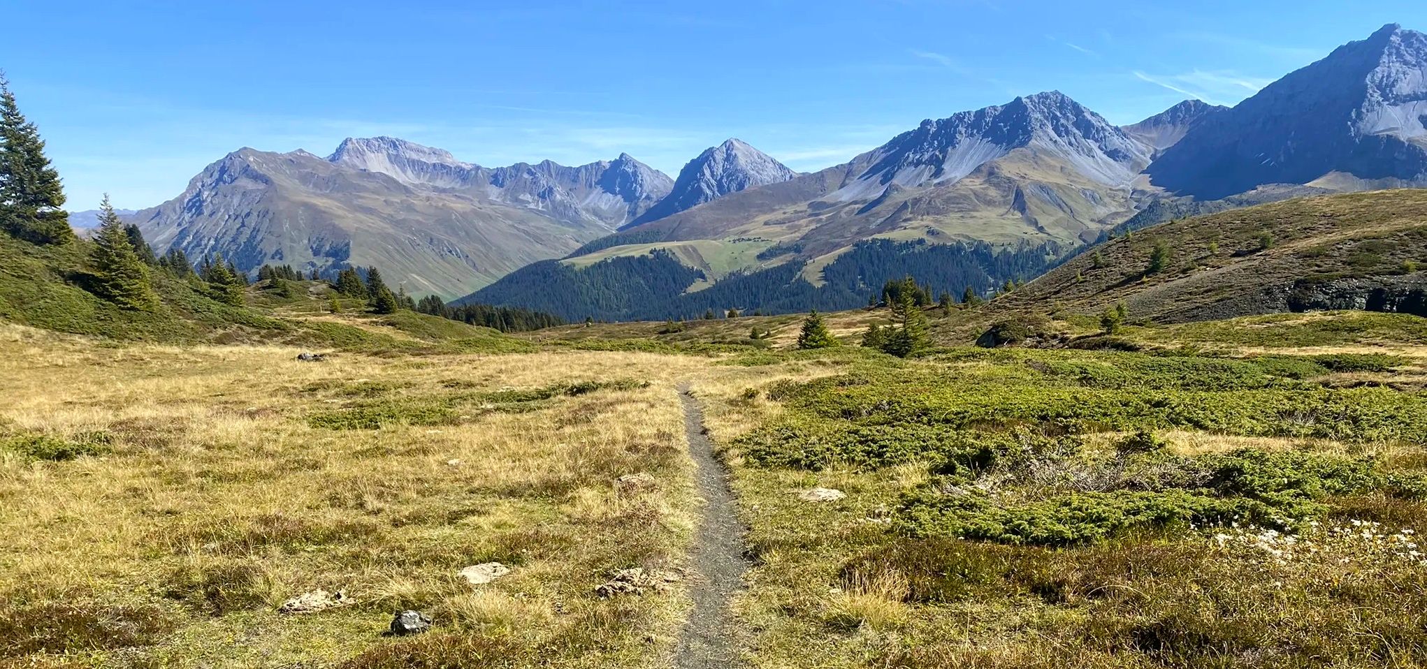
Explore an entire valley on foot - Schanfigger Höhenweg

On ancient paths towards Santiago — the Way of St. James Graubünden
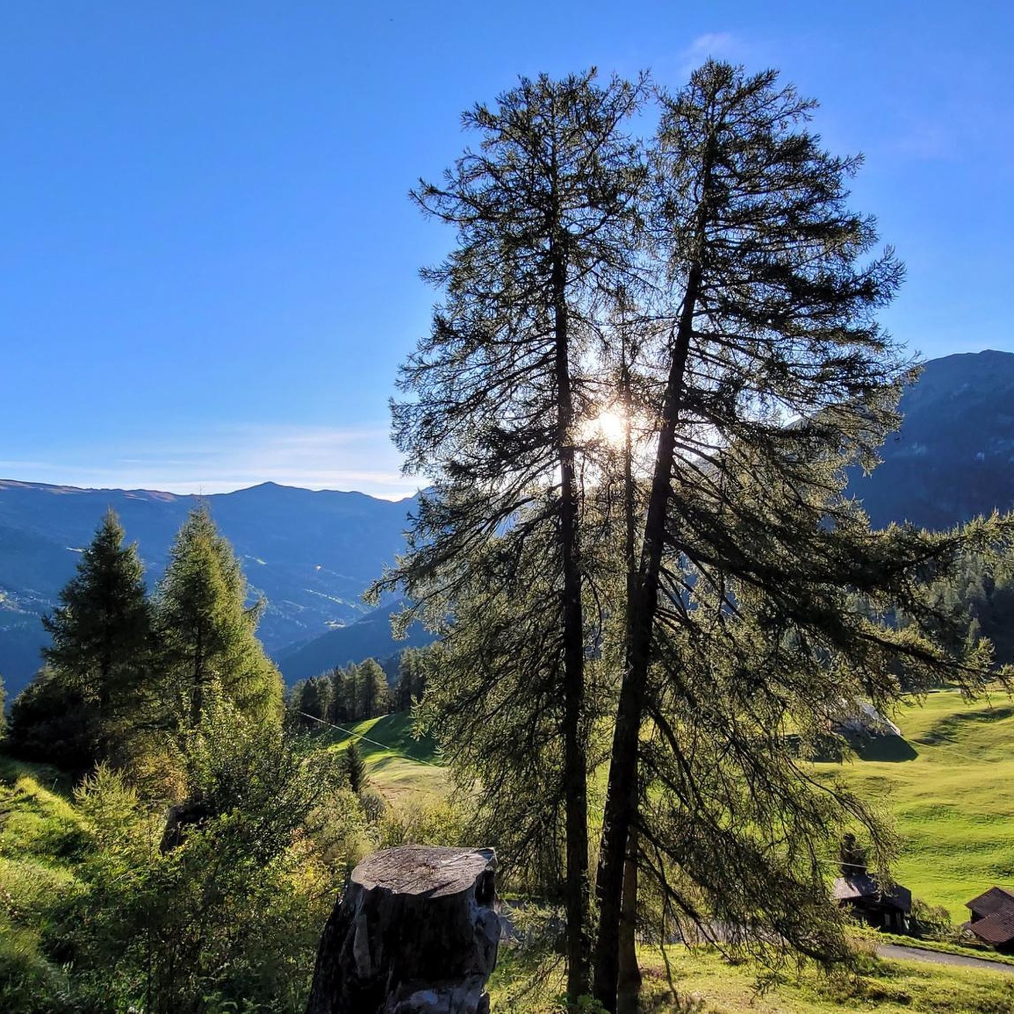
Road Cycling Routes around Tschiertschen-Praden
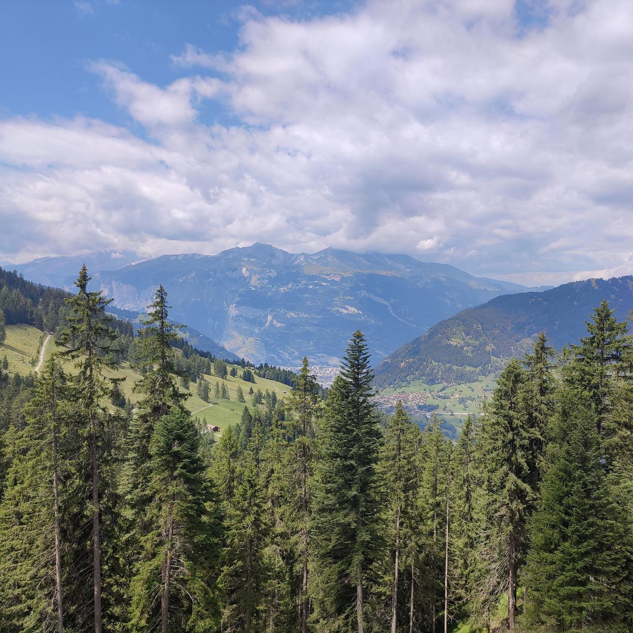
Hiking around Tschiertschen-Praden
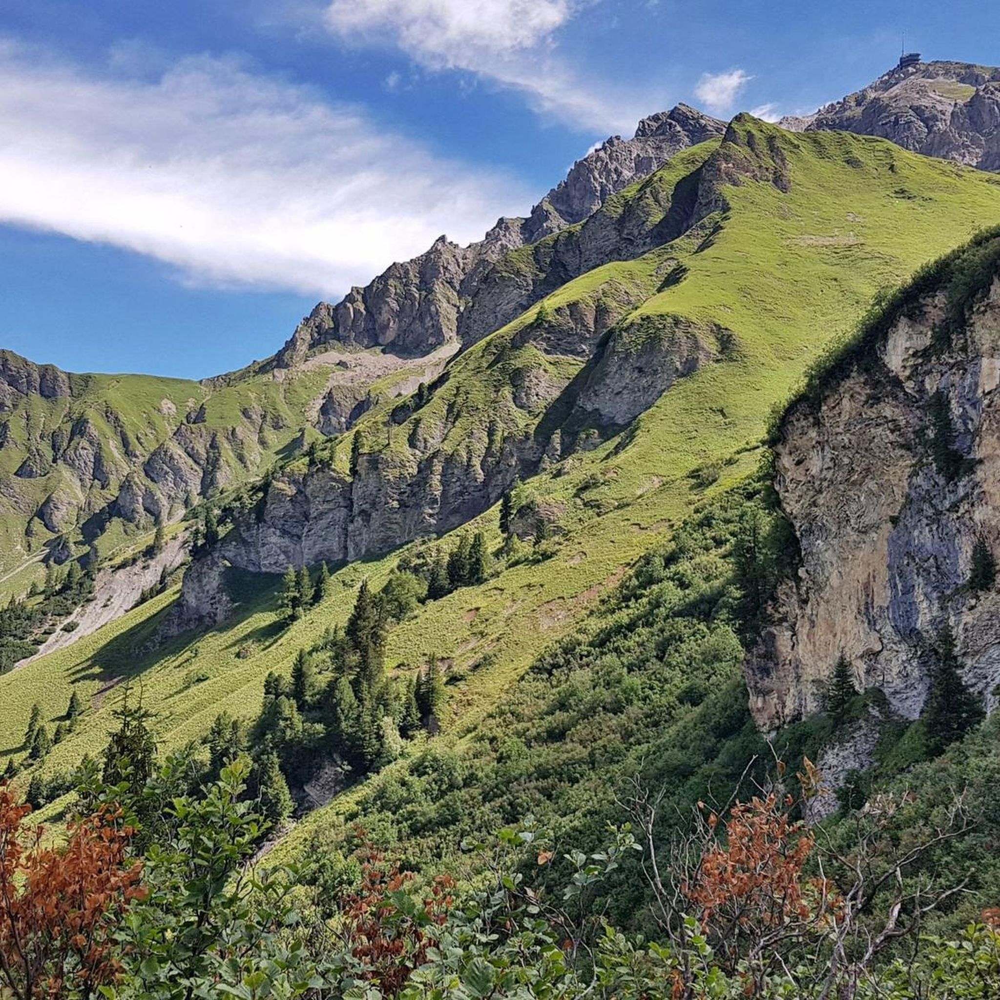
Cycling around Tschiertschen-Praden
Gravel biking around Tschiertschen-Praden
Running Trails around Tschiertschen-Praden


Tips from the Community

There is hardly a more fitting name for a trail. Especially with the Great White, an iconic combination. The "Dark Side of the Moon" starts just below the mountain station of the Rothorn Bahn and leads through the eponymous stone desert down to the avalanche barrier and over to Gredigs Fürggli. The "Rot" (Red) trail rating on Trailforks is fitting. Along the way, the odd rock-roll or natural wallride offers the opportunity to spice up the trail experience a bit more. All in all, a beautiful high-alpine trail in a bizarrely beautiful stone landscape. https://youtu.be/ZSADGyXU3HQ?si=1mFee_OkU0PJuD_n&t=112
0
1
The Älplisee Trail is an absolute bike highlight in the Lenzerheide-Arosa region. The entrance is at Gredigs Fürggli and leads through a breathtakingly beautiful high valley down over the Älplisee and Schwellisee to Innerarosa. In the upper part, the trail is not technically difficult, but it is very narrow and quite exposed, which should definitely be considered. After the Älplisee, the trail becomes curvier and a bit more technical. However, you don't need pronounced hairpin turn technique. https://youtu.be/ZSADGyXU3HQ?si=74nHdSVS0x5n7fII&t=387
2
0
The view of the Schwellisee is breathtaking. Two paths lead there by bike. From Gredigs Fürggli via the Älplisee Trail or from the Hörnligrat via the Schwellisee Trail. https://youtu.be/ZSADGyXU3HQ?si=20Pzz2pXKv2iRwmN&t=973
0
0

do not underestimate the "fear factor" of beign exposed in the first part. not difficult fisically or technically though
0
0

A very good, flowing, rocky trail. A lot of fun. Make sure you have good tires. There are some very sharp rocks here.
0
0

Beautiful flow trail with great views
0
0

Frequently Asked Questions
How many mountain bike trails are there around Tschiertschen-Praden?
Tschiertschen-Praden offers a wide selection of mountain bike routes, with over 270 trails available for exploration. These range from easy to difficult, catering to various skill levels.
What kind of terrain can I expect on mountain bike trails in Tschiertschen-Praden?
The terrain around Tschiertschen-Praden is diverse, characterized by the scenic Schanfigg valley with sunny terraces, lush meadows, and extensive forests. You'll encounter a mix of challenging singletrack sections, alpine landscapes, and connections to neighboring areas like Arosa and Lenzerheide. Some routes involve significant elevation changes and may require good fitness and advanced riding skills.
Are there mountain bike trails suitable for beginners in Tschiertschen-Praden?
While many routes in Tschiertschen-Praden are challenging, there are approximately 30 easy mountain bike trails available. These routes offer a gentler introduction to the region's beautiful scenery, though the overall alpine environment means some climbs are still to be expected.
Are there challenging mountain bike routes for experienced riders?
Yes, Tschiertschen-Praden is well-suited for experienced riders, with over 120 difficult mountain bike routes. Notable challenging trails include the extensive Bike Ticket to Ride: Black, the technical Älpliseetrail, and the Schwellisee Trail, all offering significant climbs and descents through alpine terrain.
Can I find mountain bike trails with scenic viewpoints or natural features?
Absolutely. The region is rich in scenic viewpoints and natural features. The Arosa Mountain Railway Tour offers stunning vistas. You can also find routes leading to panoramic spots like the Jochalp, or the Churer Joch Rundtour which provides expansive views of the Calandamassiv, Lenzerheide, and the Arosa mountain range.
Are there any waterfalls accessible from the mountain bike trails?
Yes, the area around Tschiertschen-Praden features several beautiful waterfalls. You might encounter the Altein Waterfall, or smaller cascades like the Small waterfall on the Eichhörnliweg and the Small waterfall above Lake Urdensee, which can be points of interest along your ride.
Are there mountain bike trails where I can stop for refreshments at a hut or cafe?
Many mountain bike routes in Tschiertschen-Praden pass by cozy alp huts and mountain restaurants. You can plan your ride to include stops at places like the Ochsenalp Mountain Hut, June Hut, or the Hörnli Hut for a break and refreshments amidst the stunning scenery.
What is the best time of year for mountain biking in Tschiertschen-Praden?
Summer is considered the prime season for mountain biking in Tschiertschen-Praden, as the region is known as a 'paradise for hikers and cyclists' during these months. Trails are typically clear of snow, and the weather is generally favorable for exploring the diverse routes and enjoying the alpine landscape.
Are there options for public transport or bike transport to access trails?
Tschiertschen-Praden is connected to public transport networks. The Postauto (Swiss PostBus) often provides services in mountain regions, and some routes may offer bike transport options, especially connecting to larger hubs like Chur. It's advisable to check local Postauto schedules and bike transport availability for specific routes.
Where can I park my car when mountain biking in Tschiertschen-Praden?
Parking facilities are generally available in and around the village of Tschiertschen-Praden, which serves as a common starting point for many trails. Specific parking areas may be designated near trailheads or in the village center. It's recommended to check local signage upon arrival for the most convenient options.
Are there circular mountain bike routes available?
Yes, the region offers several circular mountain bike routes. An example is the Churer Joch Rundtour, which provides a loop experience with expansive views and a descent back towards Tschiertschen. Many other trails can also be combined to form circular routes, allowing you to start and end in the same location.
What do other mountain bikers say about the trails in Tschiertschen-Praden?
The mountain bike trails in Tschiertschen-Praden are highly regarded by the komoot community, with an average rating of 4.6 stars from over 3,000 reviews. Riders frequently praise the stunning alpine scenery, the variety of terrain, and the well-maintained singletrack sections that make for an engaging and memorable riding experience.
Most popular routes around Tschiertschen-Praden
Most popular attractions around Tschiertschen-Praden

Get inspired with the komoot mobile app


Explore more
Browse the best MTB trails in other regions.
