Attractions and Places To See around Tschiertschen-Praden - Top 20
Best attractions and places to see around Tschiertschen-Praden include a variety of outdoor activities in the Graubünden region. This area is characterized by its mountainous landscape, offering numerous summits and historical sites. Visitors can explore a range of natural monuments and settlements, making it a destination for those interested in alpine environments and cultural heritage. The region provides opportunities for both challenging hikes and more accessible routes.
Best attractions and places to see around Tschiertschen-Praden
- The most popular attractions is…
Last updated: September 26, 2026
Parpaner Rothorn Summit
Highlight • Summit
Translated by Google •
Tip by

Dreibündenstein Monument
Highlight • Monument
Showing Translation
Tip by

Sign up now to discover places like this
Get recommendations on the best single tracks, peaks, & plenty of other exciting outdoor places.
Weisshorn Summit (2,653 m)
Highlight • Summit
Translated by Google •
Tip by
Lenzerheide
Highlight • Settlement
Translated by Google •
Tip by

Ochsenalp Mountain Hut
Highlight • Mountain Hut
Translated by Google •
Tip by

Sign up for free to discover even more attractions around Tschiertschen-Praden.
Already have an account?
Start today with a free account
Your next adventure awaits.
Popular around Tschiertschen-Praden
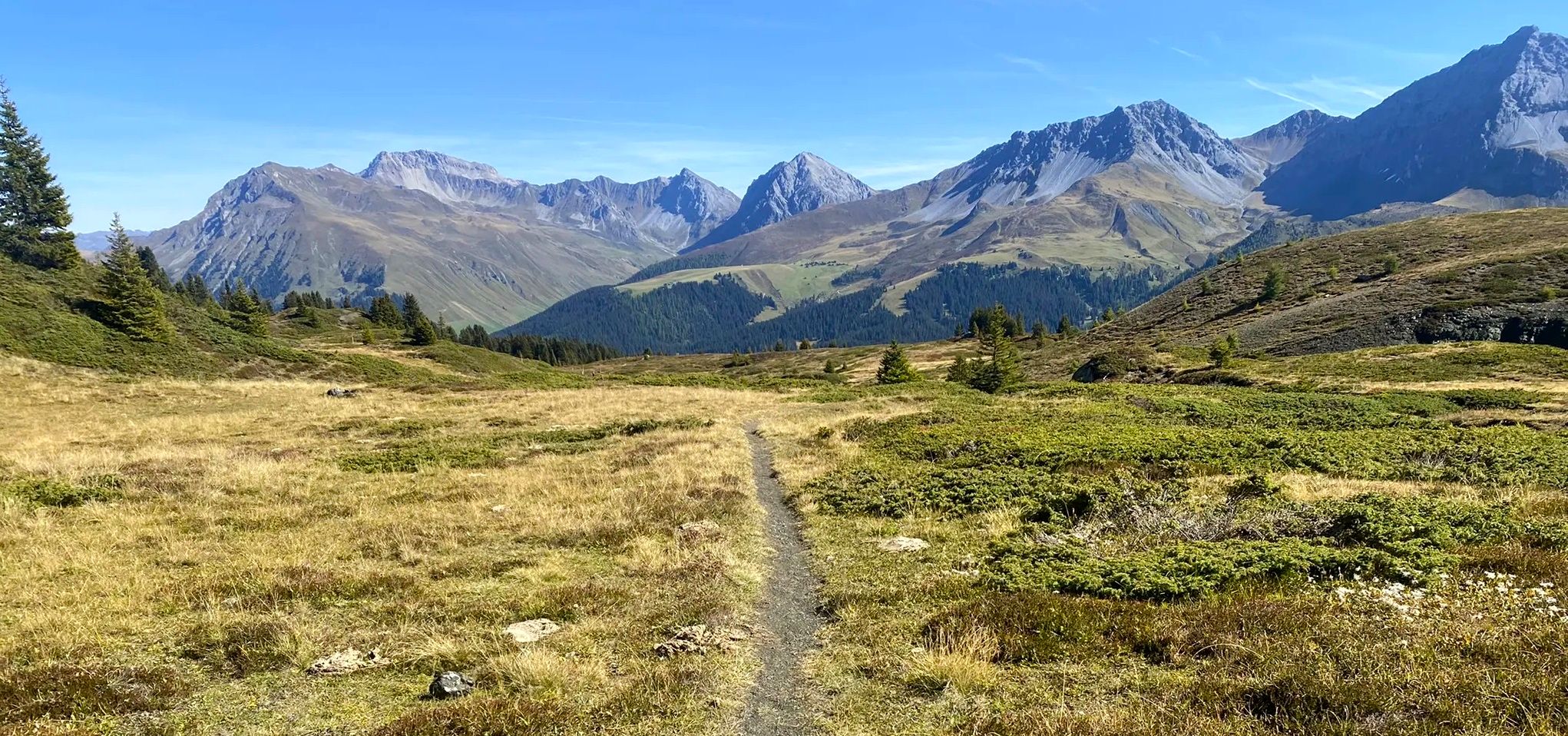
Explore an entire valley on foot - Schanfigger Höhenweg

On ancient paths towards Santiago — the Way of St. James Graubünden
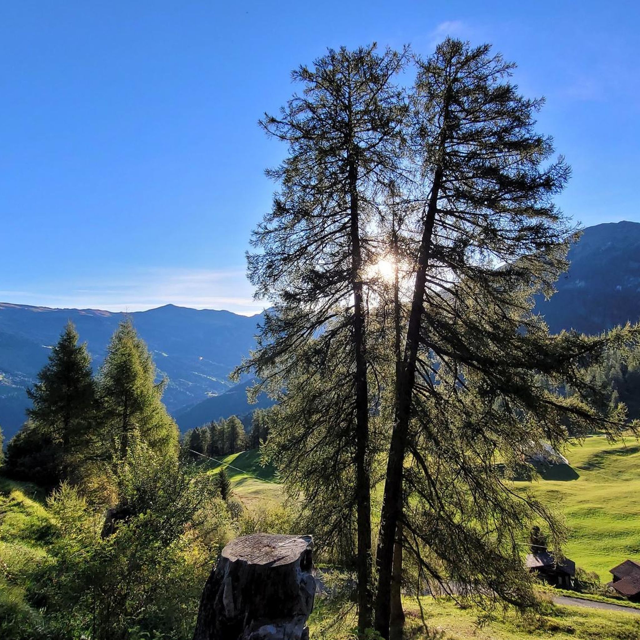
MTB Trails around Tschiertschen-Praden
Road Cycling Routes around Tschiertschen-Praden
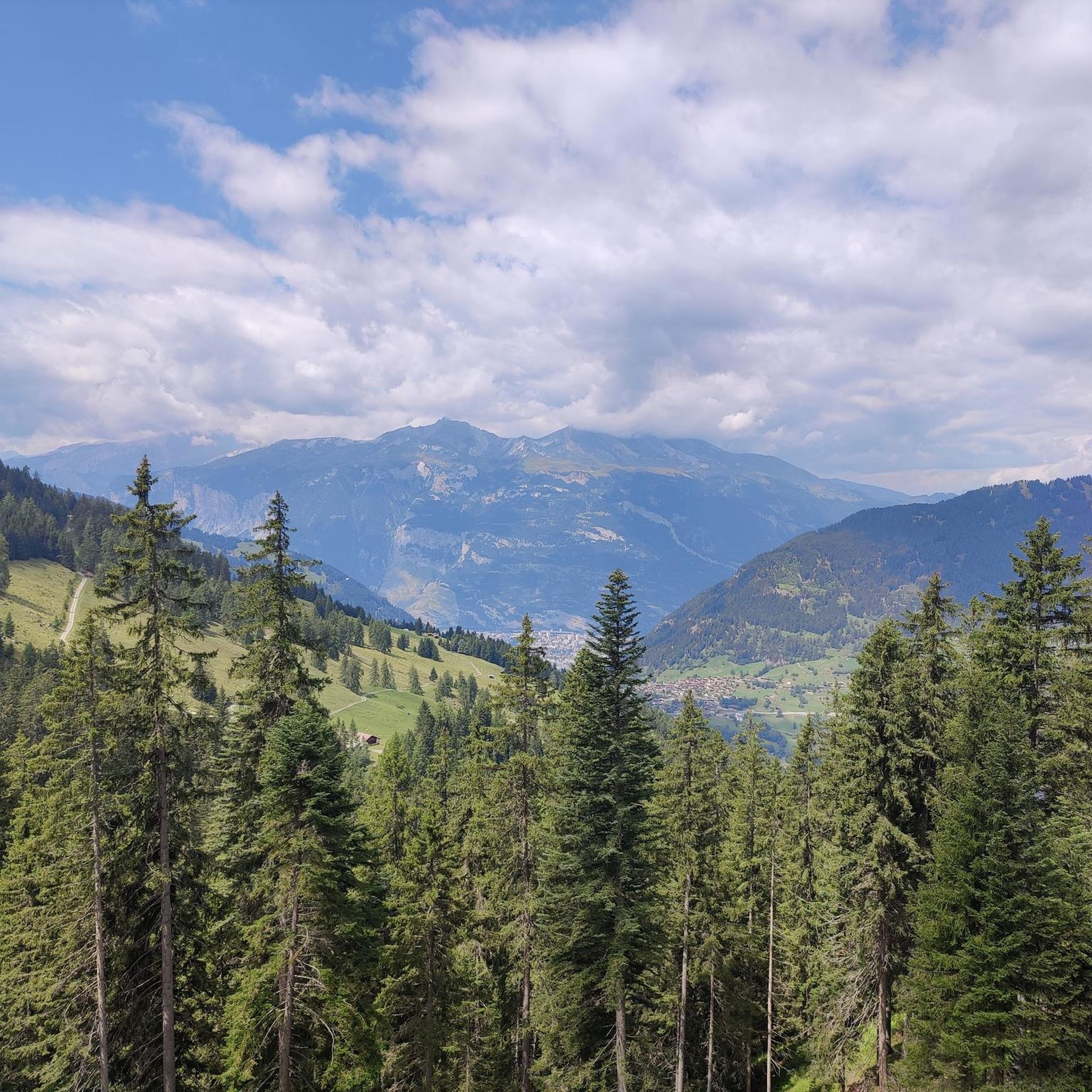
Hiking around Tschiertschen-Praden
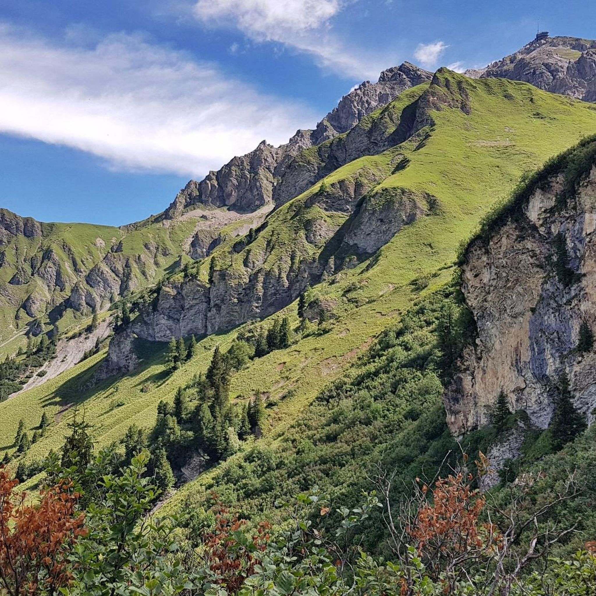
Cycling around Tschiertschen-Praden
Gravel biking around Tschiertschen-Praden
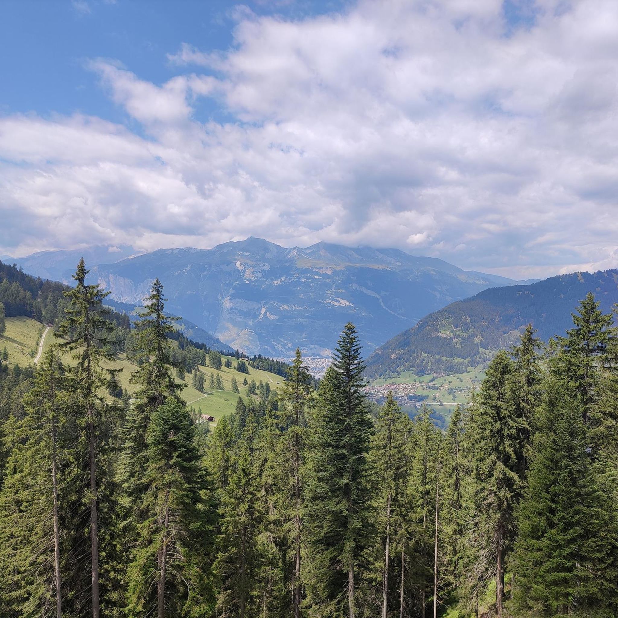
Running Trails around Tschiertschen-Praden


Tips from the Community

Reached the top, enjoy the view and then consider where to go next
0
0

Cable car with bike transport in 2 sections to the Weisshorn summit
0
0

Prepare for a long, exhausting but amazing 2000 descent!
0
0

Top view into the distance and of Arosa
0
0


There are two ways to reach the Parpaner Rothorn: either by taking the cable car or by embarking on a challenging and strenuous hike. If you choose the latter option, you'll need sturdy footwear. Surefootedness and a head for heights are also beneficial on the ascent, ensuring you reach the summit safely. Next to the cable car station, there's also a panoramic restaurant where you can recharge with fine dining after a strenuous hike.
2
2
You can reach the 2,653-meter-high summit of the Weisshorn either by taking a strenuous but very worthwhile hike, or by taking the cable car in a very relaxed manner while sitting down. A fantastic view in all directions awaits you at the top.
2
0

The Dreibündenstein in Graubünden is an elevation at 2,156 meters above sea level south of the city of Chur and of the mountain Furggabüel, which lies at 2,174 meters above sea level. They are separated only by a 15-meter high saddle and 500 meters distance. The point is not a mountain peak, but a historical site. It was the sole triple border point of the former Free State of the Three Leagues. The original stone from 1722 is exhibited in the Rätisches Museum Chur. The replacement stone from 1915 bears the three coats of arms of the Three Leagues. The Three Leagues included the Grey League with the judicial community of Rhäzüns, the League of the Ten Jurisdictions from Churwalden, and the League of God's House from Ortenstein Castle.
5
0
Frequently Asked Questions
What kind of natural attractions can I explore around Tschiertschen-Praden?
The region is rich in natural beauty, primarily featuring majestic summits and scenic viewpoints. You can visit the Weisshorn Summit (2,653 m) for expansive views or the Parpaner Rothorn Summit, which offers panoramic vistas of Lenzerheide and surrounding mountain peaks. Many trails also lead through picturesque alpine landscapes.
Are there any historical sites or cultural monuments in the area?
Yes, the Dreibündenstein Monument is a significant historical site. Located at 2,156 meters, it marks the former triple border point of the Free State of the Three Leagues and features the coats of arms of these Rhaetian federations. It's a place that commemorates the freedom fighters of Graubünden.
What outdoor activities are popular near Tschiertschen-Praden?
The area is ideal for various outdoor activities. Hiking is very popular, with routes like the 'Furgglis Hut – Tschiertschen loop'. Cycling and road cycling are also prominent, offering routes such as 'Tschiertschen – Ochsenalp Mountain Hut loop from Praden' and 'Lenzerheide – Heidsee loop'. You can find more details on these activities in the dedicated guides for Hiking around Tschiertschen-Praden, Cycling around Tschiertschen-Praden, and Road Cycling Routes around Tschiertschen-Praden.
Are there family-friendly attractions or activities available?
Yes, the region offers options suitable for families. The settlement of Lenzerheide is noted as family-friendly, featuring a lake and various trails. Mountain huts like Ochsenalp Mountain Hut are also welcoming stops for families, offering food and a cozy atmosphere after a walk.
What is the best time of year to visit Tschiertschen-Praden for outdoor activities?
The best time largely depends on your preferred activities. Summer (June to September) is ideal for hiking and cycling, offering pleasant weather and access to high-altitude trails. For winter sports, the region transforms into a snowy paradise, typically from December to March, though specific attractions might have varying accessibility.
Can I reach the mountain summits easily, or do they require challenging hikes?
Accessibility varies by summit. For instance, the Weisshorn Summit (2,653 m) can be reached either by a strenuous but rewarding hike or by cable car for a more relaxed ascent. Similarly, the Parpaner Rothorn Summit is also accessible via cable car, offering fantastic views without a demanding climb.
Are there any mountain huts or places to eat along the trails?
Absolutely. The Ochsenalp Mountain Hut is a popular spot located at 1,936 meters, welcoming hikers and bikers with delicious food and a cozy atmosphere. The Parpaner Rothorn Summit also features a panoramic restaurant right at the top, serving Grisons specialties and homemade cakes.
What do visitors particularly enjoy about the attractions around Tschiertschen-Praden?
Visitors consistently praise the incredible panoramic views from the summits, such as the Weisshorn Summit (2,653 m) and Parpaner Rothorn Summit. The delicious food and cozy atmosphere at mountain huts like Ochsenalp Mountain Hut are also frequently highlighted. Many appreciate the diverse range of activities, from challenging hikes to accessible cable car rides, and the rich historical context of sites like the Dreibündenstein Monument.
Are there any easy or beginner-friendly hiking routes in the area?
While many routes can be challenging, there are also moderate options available. For instance, the 'Furgglis Hut – Tschiertschen loop from Plessur Alps' is listed as a moderate hiking route. The presence of cable cars to summits also allows for easier access to high-altitude viewpoints without requiring a strenuous hike.
How can I get around Tschiertschen-Praden to access these attractions?
The region is well-suited for exploration by foot, bike, or public transport. Many attractions are accessible via hiking or cycling trails. For higher summits like Weisshorn and Parpaner Rothorn, cable cars provide convenient access. Public transport options, including buses, connect various villages and trailheads in the Graubünden region.
Are there any specific viewpoints that offer exceptional scenery?
Yes, the entire region is known for its stunning views. The Weisshorn Summit (2,653 m) and Parpaner Rothorn Summit are prime examples, offering fantastic 360-degree panoramas. Even the Dreibündenstein Monument provides a great vantage point at 2,156 meters.
What is the general landscape like around Tschiertschen-Praden?
The landscape around Tschiertschen-Praden is characterized by its dramatic mountainous terrain, typical of the Graubünden region. You'll find numerous high summits, deep valleys, and alpine meadows. The area is dotted with natural monuments and traditional settlements, offering a blend of rugged wilderness and cultural heritage.
Most popular routes around Tschiertschen-Praden
Most popular attractions around Tschiertschen-Praden

Get inspired with the komoot mobile app


Explore more
Still not found the Highlight you’re looking for? See guides of the top attractions in other regions:
