Top 20 Natural Monuments around Quaix-En-Chartreuse
Natural monuments around Quaix-En-Chartreuse are situated within the Chartreuse Regional Natural Park, a region characterized by its dramatic limestone massif, dense forests, and high-altitude peaks. This area offers diverse landscapes and unique geological features, including various rivers and streams that contribute to its natural hydrology. It provides a range of experiences for exploring natural beauty and geological formations.
Best natural monuments around Quaix-En-Chartreuse
- The most popular natural monuments is Dent de Crolles, a summit that offers views over the…
Last updated: October 5, 2026
Dent de Crolles
Highlight • Summit
Translated by Google •
Tip by

Charmant Som summit
Highlight • Summit
Translated by Google •
Tip by

Sign up now to discover places like this
Get recommendations on the best single tracks, peaks, & plenty of other exciting outdoor places.
Col des Ayes
Highlight • Mountain Pass
Translated by Google •
Tip by
La Pinéa
Highlight • Summit
Translated by Google •
Tip by

Pravouta
Highlight • Summit
Translated by Google •
Tip by

Sign up for free to discover even more natural monuments around Quaix-En-Chartreuse.
Already have an account?
Start today with a free account
Your next adventure awaits.
Popular around Quaix-En-Chartreuse


Tips from the Community


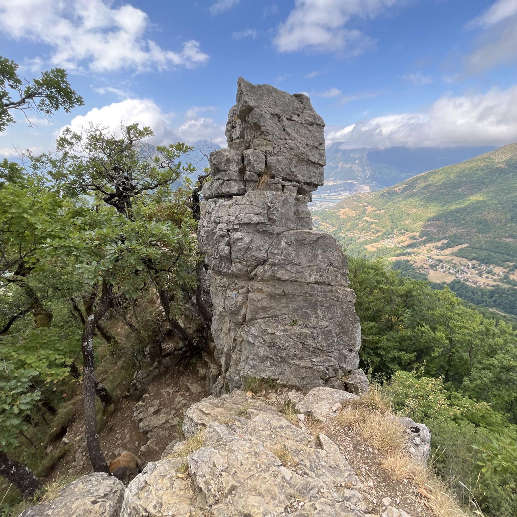
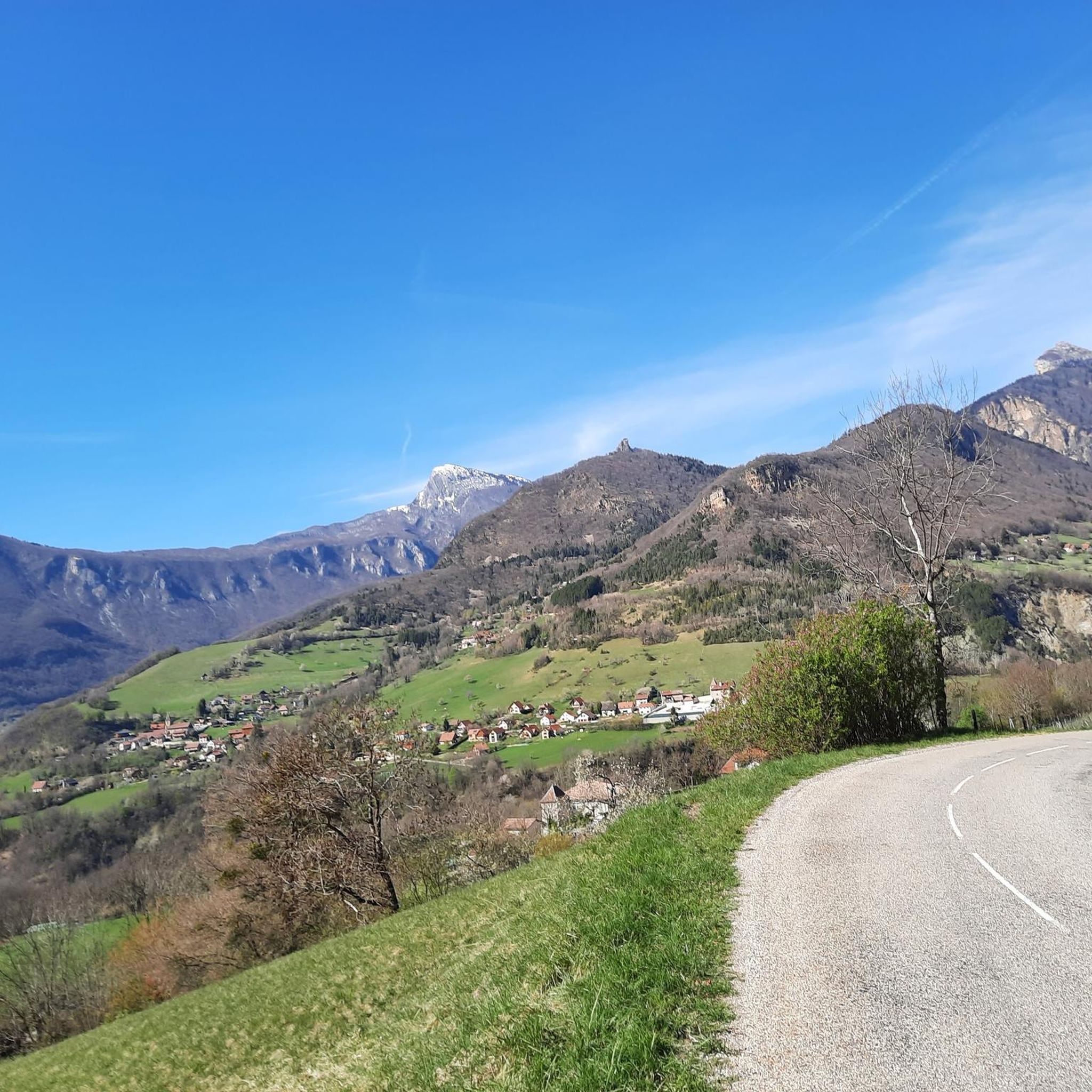
The Dent de Crolles, at 2,062 meters, is one of the best-known peaks in the Chartreuse. This distinctive limestone mountain towers high above the surrounding area and offers, on a clear day, a magnificent view over the Alps and the Grenoble valley. The hike there leads through varied mountain meadows, rocky terrain, and impressive limestone landscapes. A strenuous climb, but the views and the special atmosphere of the Chartreuse make it absolutely worthwhile.
0
0


There's still a lot to do if you want to climb the Dent de Crolles :)
0
0
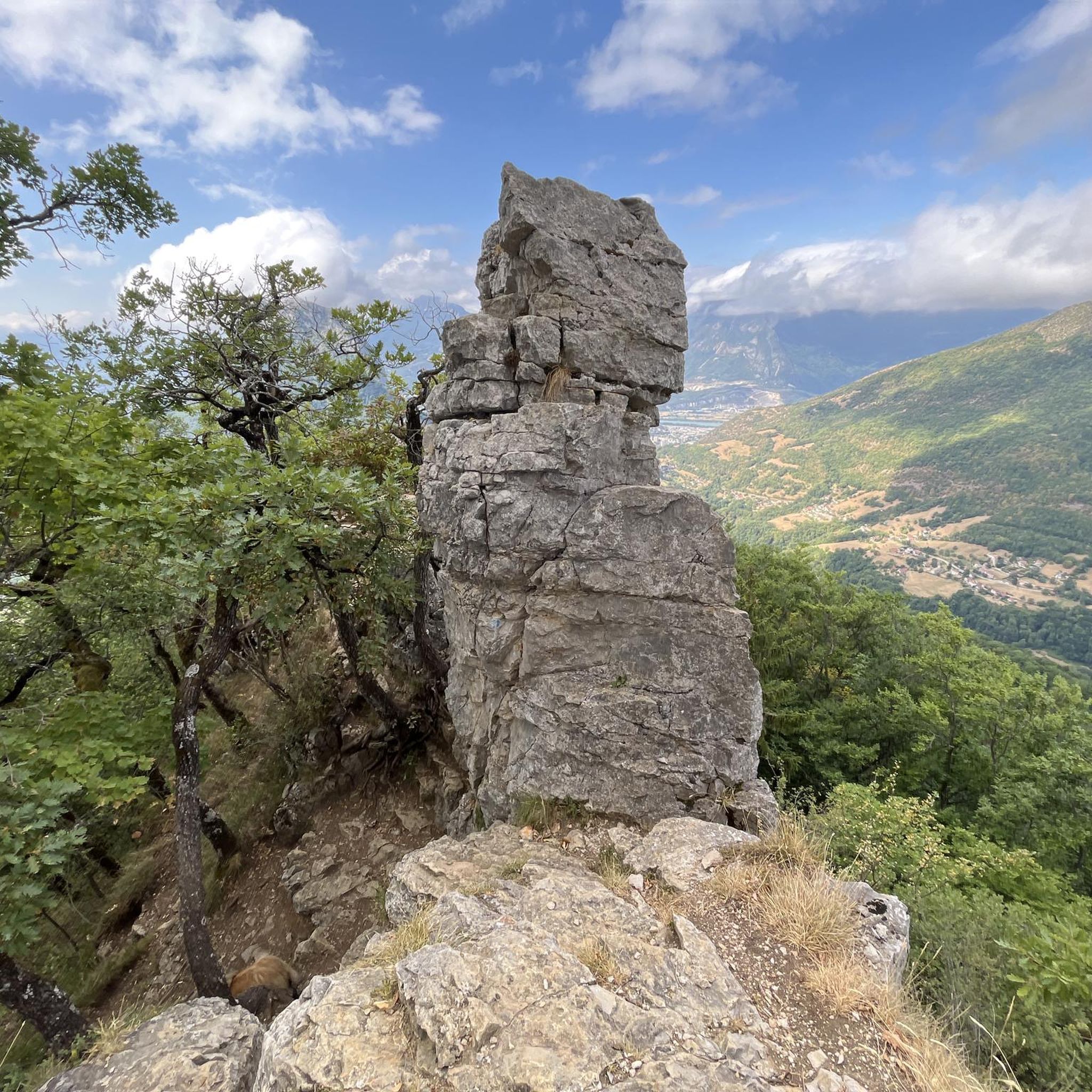
A stunning summit with views of Mont Blanc. The two climbs from the Col des Ayes are relatively steep, but steel cables are installed at the more dangerous sections. The climb north via the Trou du Glaz is a bit longer and a bit easier. The climb east is a bit steeper and more exposed. The view is good, though.
1
0


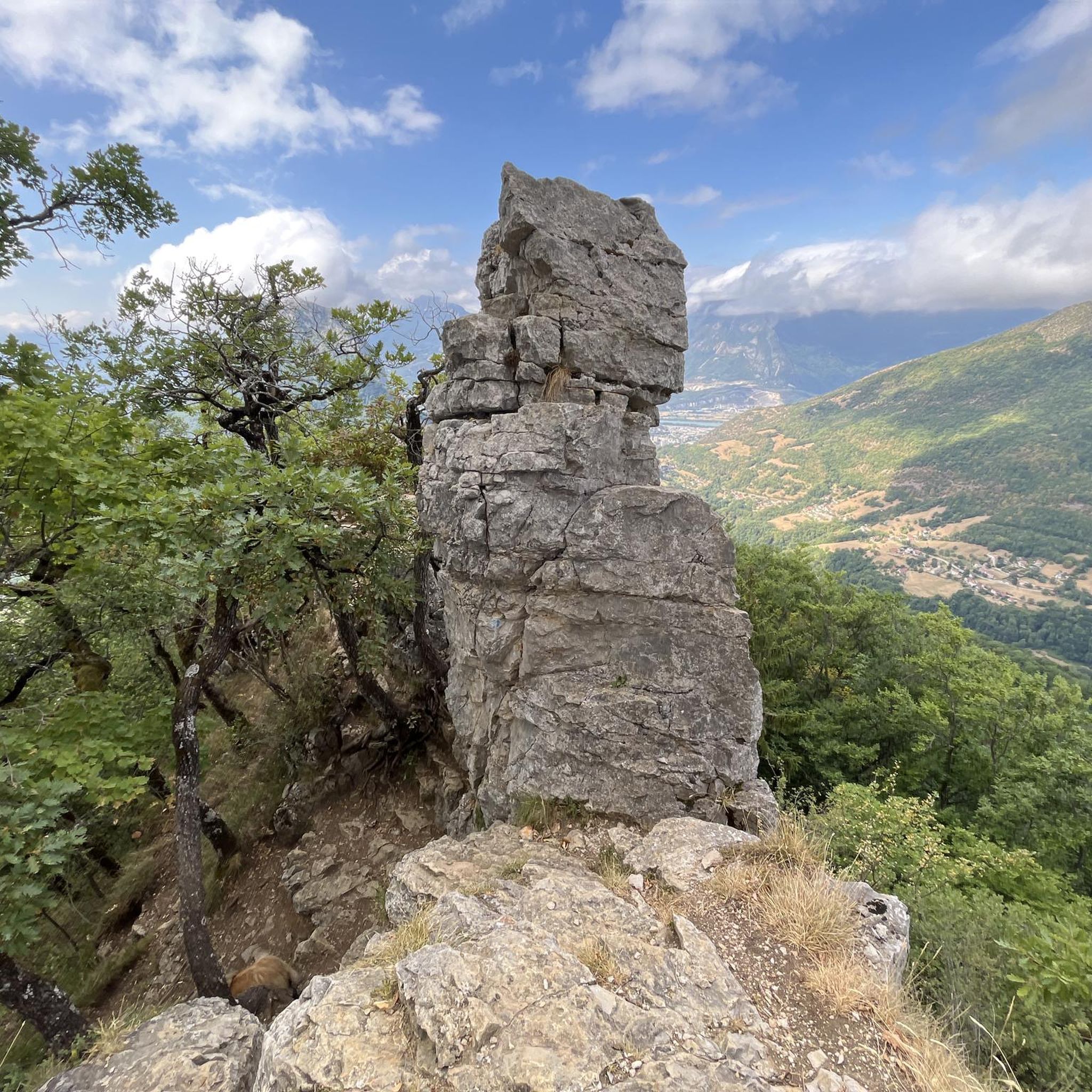
Easy and very pretty, a 360° as we like them in Chartreuse
0
0

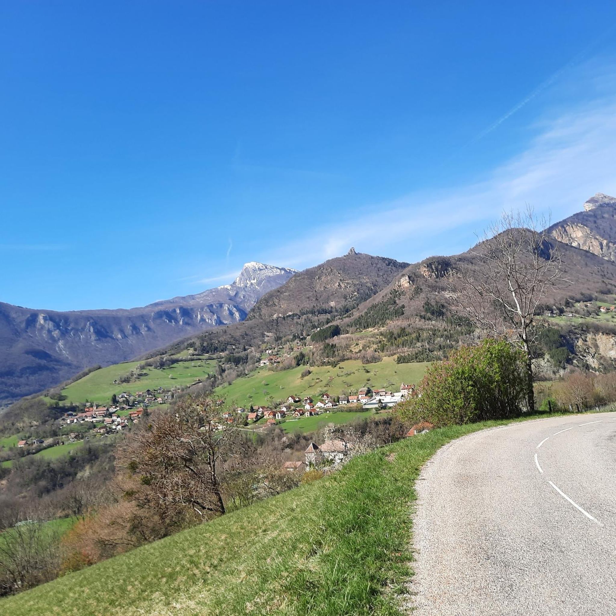
Starting point for the Dent de Crolles for the bravest and for Pravouta for those who wish to take a short family stroll.
1
0
Frequently Asked Questions
Which natural monuments are most popular around Quaix-en-Chartreuse?
Among the most appreciated natural monuments are Dent de Crolles, the second highest summit of the Chartreuse massif, offering expansive views over the Grésivaudan valley. Another favorite is Charmant Som summit, known for its spectacular panorama, and Pravouta, an easily accessible promontory with a breathtaking 360° view.
What kind of natural features can I expect to see in the Chartreuse Regional Natural Park near Quaix-en-Chartreuse?
The Chartreuse Regional Natural Park is characterized by its dramatic limestone massif, dense forests, and high-altitude peaks. You'll encounter diverse landscapes including alpine pastures, rushing torrents, and unique geological formations. The region also features various rivers and streams like the Vence, Tenaison, Rivet, and Coléon.
Are there challenging hikes to natural monuments in the area?
Yes, for experienced hikers, the ascent to Dent de Crolles is considered technical, especially parts of the Pas de l'Oeil route which can be steep and exposed. Chamechaude, the highest point of the Chartreuse massif, also offers challenging climbs with a cable to assist in accessing the summit platform. The hike to La Pinéa Summit is another classic challenging route with steep sections.
What are some family-friendly natural monuments or activities near Quaix-en-Chartreuse?
While many trails offer varying difficulties, the general area of the Chartreuse Regional Natural Park provides numerous footpaths through forests and alpine meadows suitable for families. For a rewarding view without extreme difficulty, the ascent to Charmant Som summit is accessible, with a road leading close to the top, making the final ascent shorter. Pravouta is also noted as an easily accessible promontory.
What outdoor activities can I do near the natural monuments around Quaix-en-Chartreuse?
The region offers a variety of outdoor activities. You can find numerous hiking trails, including the 'Quaix Needle loop from Quaix-en-Chartreuse' and the 'Mount Jalla – Grottes de Mandrin loop from Corenc'. For cyclists, there are road cycling routes like the 'La Pérérée loop from Meylan' and gravel biking options such as the 'View of Grenoble – Old streetcar track loop from Grenoble'. You can explore more routes in the hiking guide, road cycling guide, and gravel biking guide for the area.
What views can I expect from the natural monuments in this region?
The natural monuments here offer spectacular panoramic views. From Dent de Crolles, you can see the entire Grésivaudan valley. Charmant Som summit provides a spectacular panorama of the Chartreuse massif. From La Pinéa Summit, you get a 360° view encompassing Grenoble, the Chartreuse, Belledonne, the Vercors, and even Mont Blanc. Izon Cross offers breathtaking views of the Vercors and Grenoble below.
Is there a unique geological feature to visit near Quaix-en-Chartreuse?
Yes, the La Folatière Monolith is a magnificent block of limestone. Geologically, it's part of the Urgonian slab and features grooves that reveal subtle differences in the rock's composition, showcasing the effects of freezing and thawing. It's a great spot to appreciate the region's geological history.
What is the Aiguille de Quaix and why is it worth visiting?
The Aiguille de Quaix (Quaix Needle) is a prominent rocky peak directly within the commune, reaching 1,143 meters. It's an 'Urgonian butte-témoin' (erosional remnant) with historical significance, as its slopes housed one of France's largest millstone quarries. The ascent offers magnificent views of the Isère valley, and even from its base, the panoramic vistas are highly rewarding.
What is the best time of year to visit the natural monuments around Quaix-en-Chartreuse?
The Chartreuse Regional Natural Park is beautiful year-round, but the best time for hiking and exploring the higher natural monuments is typically from late spring to early autumn (May to October) when trails are clear of snow and weather conditions are generally more stable. Winter offers opportunities for snowshoeing or winter hiking, but some higher routes may be challenging or inaccessible.
Are there any natural monuments that offer a full 360-degree panorama?
Yes, Pravouta is an easily accessible promontory that offers a beautiful unobstructed 360-degree view. Additionally, the summit of La Pinéa is renowned for its 360° panorama of Grenoble, the Chartreuse, Belledonne, the Vercors, and Mont Blanc.
What makes Mont Rachais a notable natural monument?
Mont Rachais is a significant peak accessible from Quaix-en-Chartreuse, forming part of the commune's defining landscape alongside La Pinéa and Néron. It's known for its diverse hiking trails with significant elevation changes and offers panoramic viewpoints across the Chartreuse massif and the Grésivaudan valley.
What do visitors particularly enjoy about the natural monuments in this area?
Visitors frequently highlight the spectacular and breathtaking panoramic views from the summits, such as those from Charmant Som summit and Dent de Crolles. The abundance of flowers, the unique jagged rocky ridges, and the sense of immersion in unspoiled nature are also highly appreciated. Many enjoy the challenge of the ascents and the reward of waking up to exceptional views, sometimes even spotting chamois.
Most popular routes around Quaix-En-Chartreuse
Most popular attractions around Quaix-En-Chartreuse

Get inspired with the komoot mobile app


Explore more
Extend your search for the best caves by checking out these guides of the top ones around Quaix-En-Chartreuse:
