The best running trails around Quaix-En-Chartreuse
4.4
(1000)
53,580
runners
591
runs
Jogging routes around Quaix-En-Chartreuse are set within the Isère department of southeastern France, offering diverse terrain for runners. The region is characterized by the dramatic limestone massifs, deep woodlands, and varied forests of the Chartreuse Regional Natural Park. Runners can expect significant elevation changes and panoramic viewpoints across an extensive network of trails. This environment provides a dynamic setting for running, catering to various fitness levels.
Best jogging routes around Quaix-En-Chartreuse
- The most popular jogging route is Fort Saint-Eynard loop…
Last updated: September 30, 2026
56
runners
9.07km
01:56
670m
670m
Hard run. Very good fitness required. Sure-footedness, sturdy shoes and alpine experience required.
5.0
(1)
123
runners
7.92km
01:05
300m
300m
Hard run. Very good fitness required. Sure-footedness, sturdy shoes and alpine experience required.

4.7
(3)
105
runners
11.8km
01:17
130m
130m
Moderate run. Good fitness required. Mostly paved surfaces. Suitable for all skill levels.
5.0
(2)
31
runners
8.88km
01:16
380m
370m
Hard run. Very good fitness required. Mostly accessible paths. Some sure footedness required.
5.0
(1)
28
runners
4.95km
00:31
40m
40m
Easy run. Great for any fitness level. Mostly paved surfaces. Suitable for all skill levels.
Get access to more routes and recommendations from other explorers.
Already have an account?
Our route recommendations are based on thousands of hikes, rides, and runs completed by other people on komoot.
Start today with a free account
Your next adventure awaits.


Tips from the Community

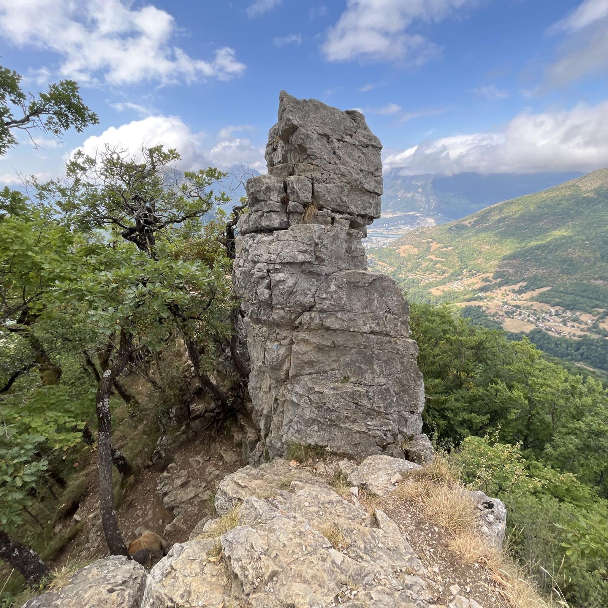
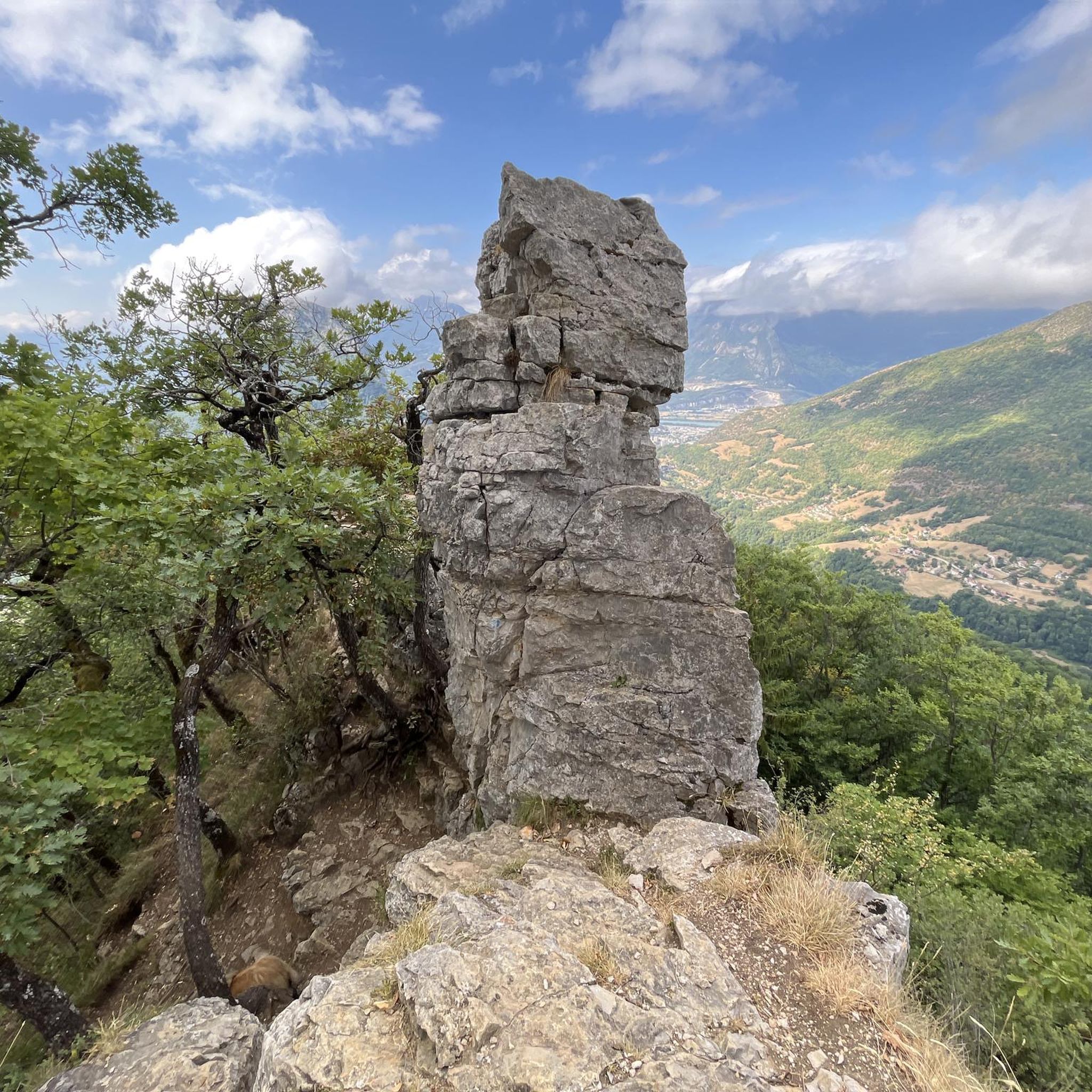
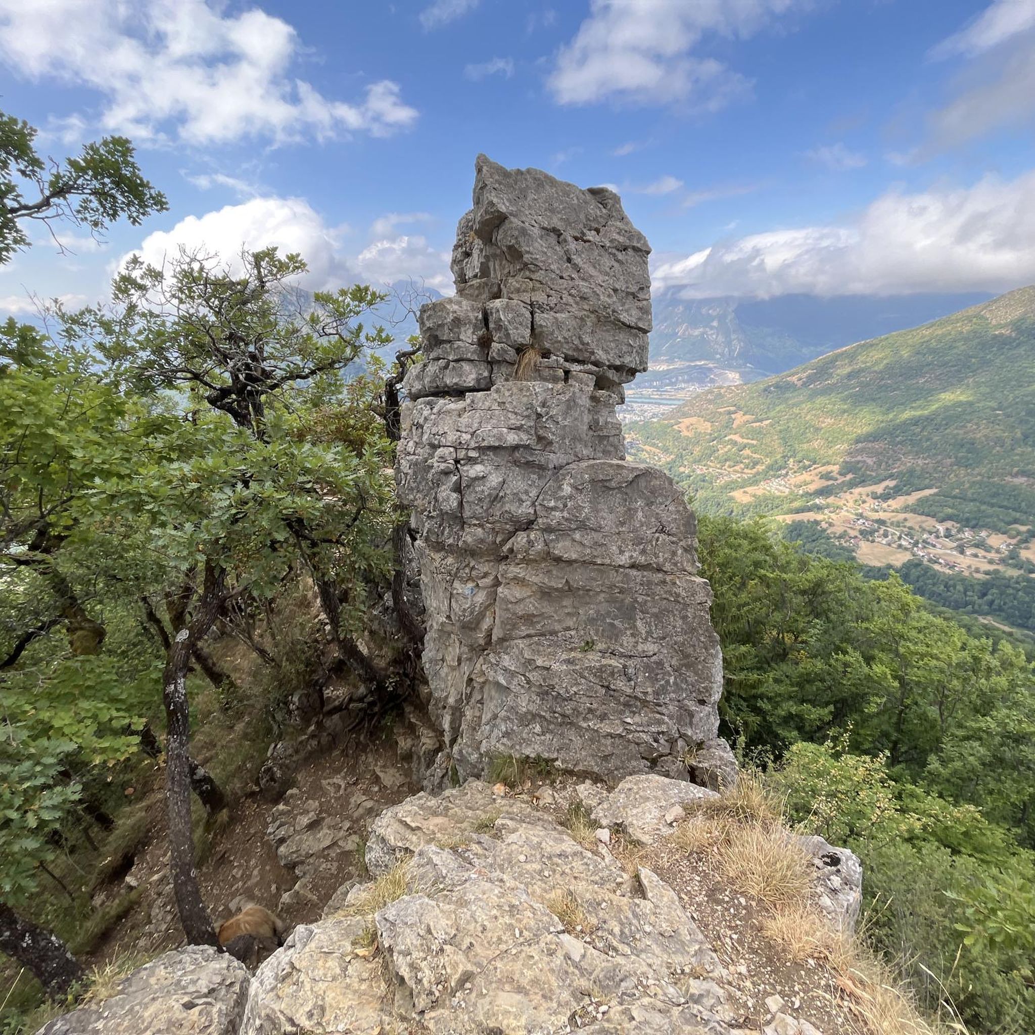
At the crossroads of the ridge trail (North-South), the Echarennes path (West) and the Bergerie trail (East). It is a small pass below Mont Rachais which allows access to the various routes from the Vance pass or the Clémencières pass.
0
0
The appeal of climbing Rachais lies in these ridges. They offer views of the Chartreuse mountains and invite you to venture further into the massif.
0
0

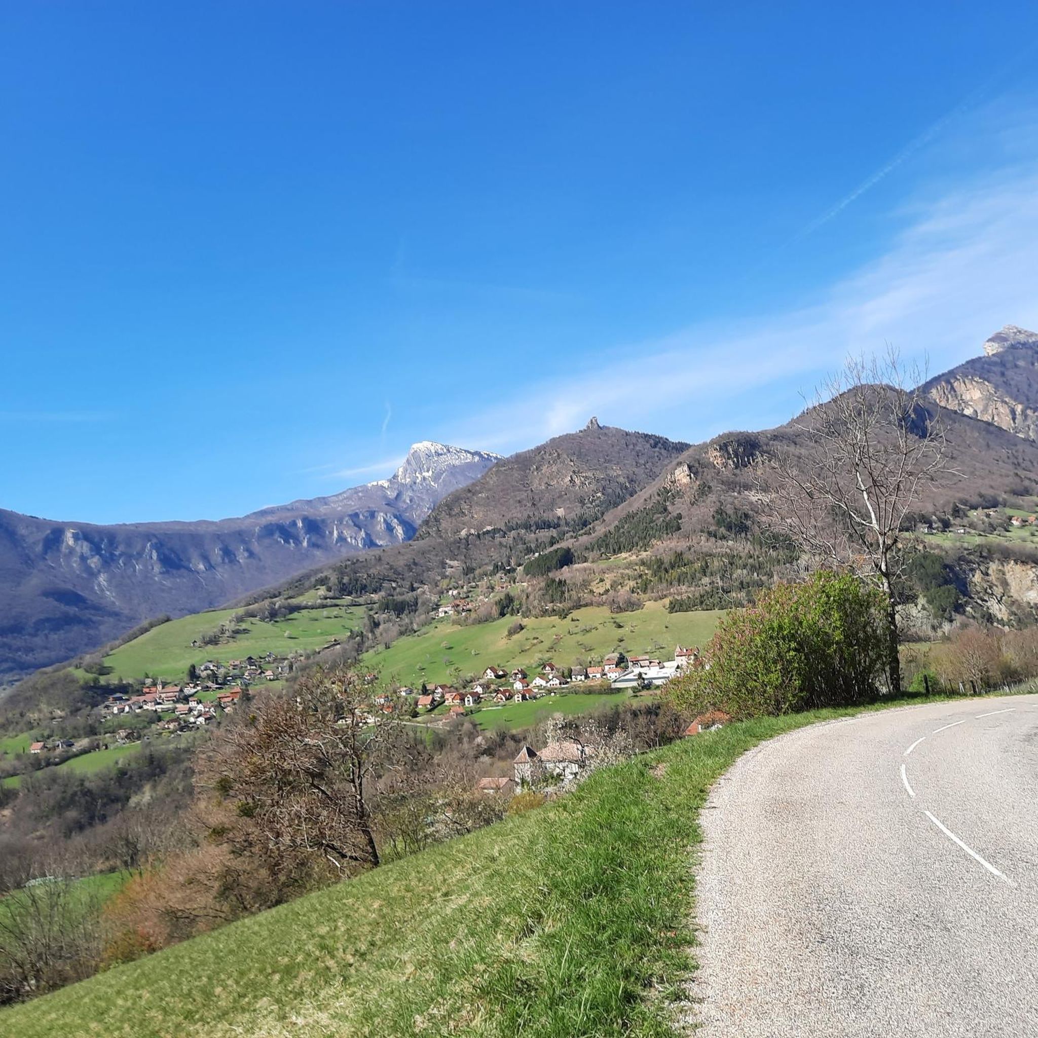
small pass between Corenc and Sapey. The road is very good
0
0

Work is underway on the bridge. Car traffic is prohibited until September 22, 2025. Bicycles may pass 😁
0
0


Basically Grenoble's local mountain, great for a walk early in the morning or in the evening with a rewarding view over the city.
4
0
Frequently Asked Questions
How many running routes are available in the Quaix-En-Chartreuse area?
The Quaix-En-Chartreuse region offers a vast network of trails, with over 570 running routes documented on komoot. These routes cater to various fitness levels, from challenging mountain ascents to more moderate forest paths.
What kind of terrain can I expect on the jogging trails around Quaix-En-Chartreuse?
Jogging routes in Quaix-En-Chartreuse are primarily set within the Chartreuse Regional Natural Park, featuring diverse terrain. You'll encounter dramatic limestone massifs, deep woodlands, and varied forests, often with significant elevation changes. Many trails offer panoramic viewpoints, rewarding your effort with stunning vistas.
Are there any easy or beginner-friendly running routes in Quaix-En-Chartreuse?
While many routes in the Chartreuse massif involve significant elevation, there are approximately 37 easy running routes available in the Quaix-En-Chartreuse area. These trails typically offer less challenging ascents, making them suitable for beginners or those looking for a more relaxed run.
What are some notable landmarks or scenic viewpoints I can discover while running?
The region is rich in natural beauty and historical sites. You can find routes that lead to breathtaking viewpoints like the Belvédère de l'Aiguille, offering magnificent views of the Isère valley. Other notable spots include the historic Fort Saint-Eynard, which provides exceptional panoramas, and the ridges of Mont Saint-Eynard with views of the Belledonne mountains. For natural monuments, consider trails near the Dent de Crolles or Charmant Som summit.
Are there any circular running routes available?
Yes, many of the running paths in Quaix-En-Chartreuse are designed as circular loops, allowing you to start and finish at the same point. For example, the Quaix-en-Chartreuse loop from Quaix-en-Chartreuse is a popular circular option that takes you through diverse woodlands.
Can I bring my dog on the running trails in this region?
The Chartreuse Regional Natural Park generally welcomes dogs, but it's crucial to keep them on a leash, especially in areas with livestock or protected wildlife. Always check specific trail regulations before heading out, as some sensitive areas might have restrictions.
What is the best season for running in Quaix-En-Chartreuse?
The region offers excellent running opportunities throughout the year. Spring and autumn provide pleasant temperatures and vibrant scenery. Summer is ideal for shaded forest routes, while winter can offer unique snow running experiences, though some higher-altitude trails may require specific gear or be inaccessible due to snow and ice. Always check local conditions before you go.
Are there running routes suitable for families with children?
Yes, among the 37 easy routes, you can find options that are less strenuous and more suitable for families. These trails often feature gentler inclines and pass through scenic woodlands, providing an enjoyable outdoor experience for all ages. Look for routes with shorter distances and minimal elevation gain.
What do other runners enjoy most about the trails in Quaix-En-Chartreuse?
The running routes in Quaix-En-Chartreuse are highly rated by the komoot community, with an average score of 4.3 stars from over 700 reviews. Runners frequently praise the stunning panoramic views, the varied forest terrain, and the sense of immersion in nature that the Chartreuse Regional Natural Park provides.
Are there options for parking near the running trailheads?
Yes, many trailheads in and around Quaix-En-Chartreuse offer designated parking areas. For instance, routes like the Narbonne Castle – Path to Col de Clémencière loop from Saint-Égrève often have parking available at their starting points. It's always a good idea to check the route details on komoot for specific parking information before your run.
How long do running routes typically take in Quaix-En-Chartreuse?
Running durations vary significantly based on the route's length and difficulty. For example, a challenging route like the Fort Saint-Eynard loop from Le Sappey-en-Chartreuse, covering about 8.1 km with significant elevation, might take around 1 hour 25 minutes. Shorter, easier routes will naturally take less time, while longer, more strenuous trails can extend to several hours.
Can I access these running trails using public transport?
Quaix-En-Chartreuse is relatively close to Grenoble, which has public transport links. While direct public transport to every trailhead might be limited, some starting points are accessible via local bus services from nearby towns. It's advisable to research specific bus routes and schedules if you plan to rely on public transport for your running adventure.
Most popular routes around Quaix-En-Chartreuse
Most popular attractions around Quaix-En-Chartreuse

Get inspired with the komoot mobile app


Explore more
Browse the best Running Trails & Routes in other regions.
