The best road cycling routes around Quaix-En-Chartreuse
4.4
(2549)
48,875
riders
266
rides
Road cycling around Quaix-En-Chartreuse is characterized by its mountainous terrain, featuring significant elevation changes, deep gorges, and scenic passes. The region is part of the Chartreuse Massif, offering a network of roads that wind through valleys and ascend to various cols. Road cyclists can expect routes with varied gradients, from gentle valley rides to challenging mountain climbs.
Best road cycling routes around Quaix-En-Chartreuse
- The most popular road cycling route is La Pérérée loop from Meylan, a 21.7 miles (35.0…
Last updated: October 9, 2026
4.4
(67)
1,076
riders
47.5km
02:19
640m
640m
Moderate road ride. Good fitness required. Mostly well-paved surfaces and easy to ride.
4.3
(12)
349
riders
91.7km
03:40
350m
350m
Moderate road ride. Good fitness required. Mostly well-paved surfaces and easy to ride.

4.4
(17)
312
riders
Moderate road ride. Good fitness required. Some segments of this route may be unpaved and difficult to ride.
4.1
(9)
245
riders
47.8km
02:59
1,320m
1,320m
Hard road ride. Very good fitness required. Mostly well-paved surfaces and easy to ride.
4.9
(10)
234
riders
49.2km
01:55
120m
120m
Moderate road ride. Great for any fitness level. Some segments of this route may be unpaved and difficult to ride.
Get access to more routes and recommendations from other explorers.
Already have an account?
Our route recommendations are based on thousands of hikes, rides, and runs completed by other people on komoot.
Start today with a free account
Your next adventure awaits.
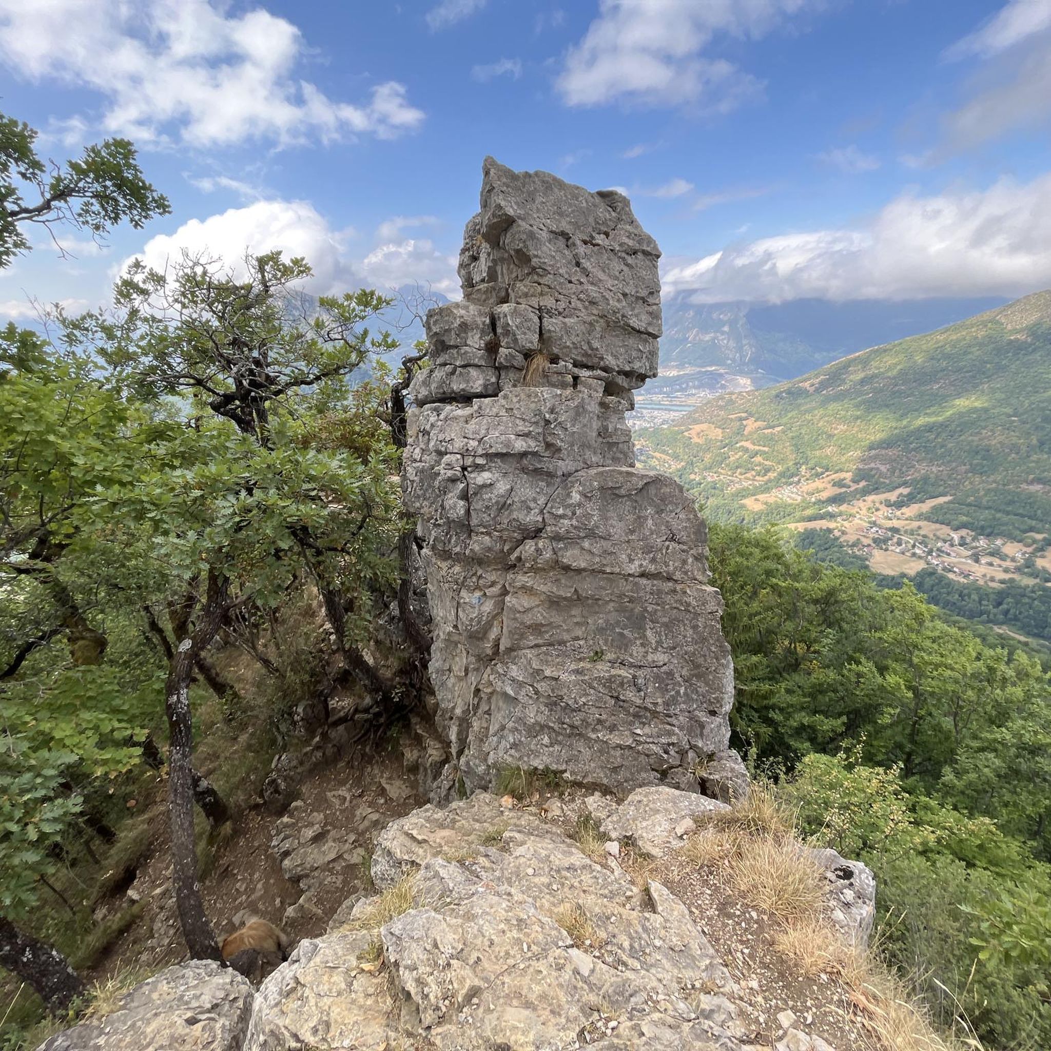
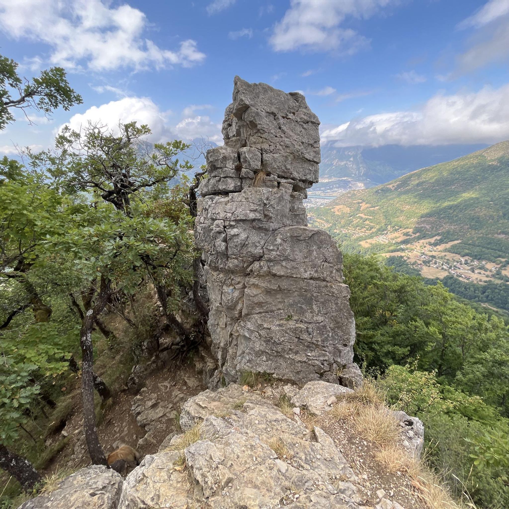
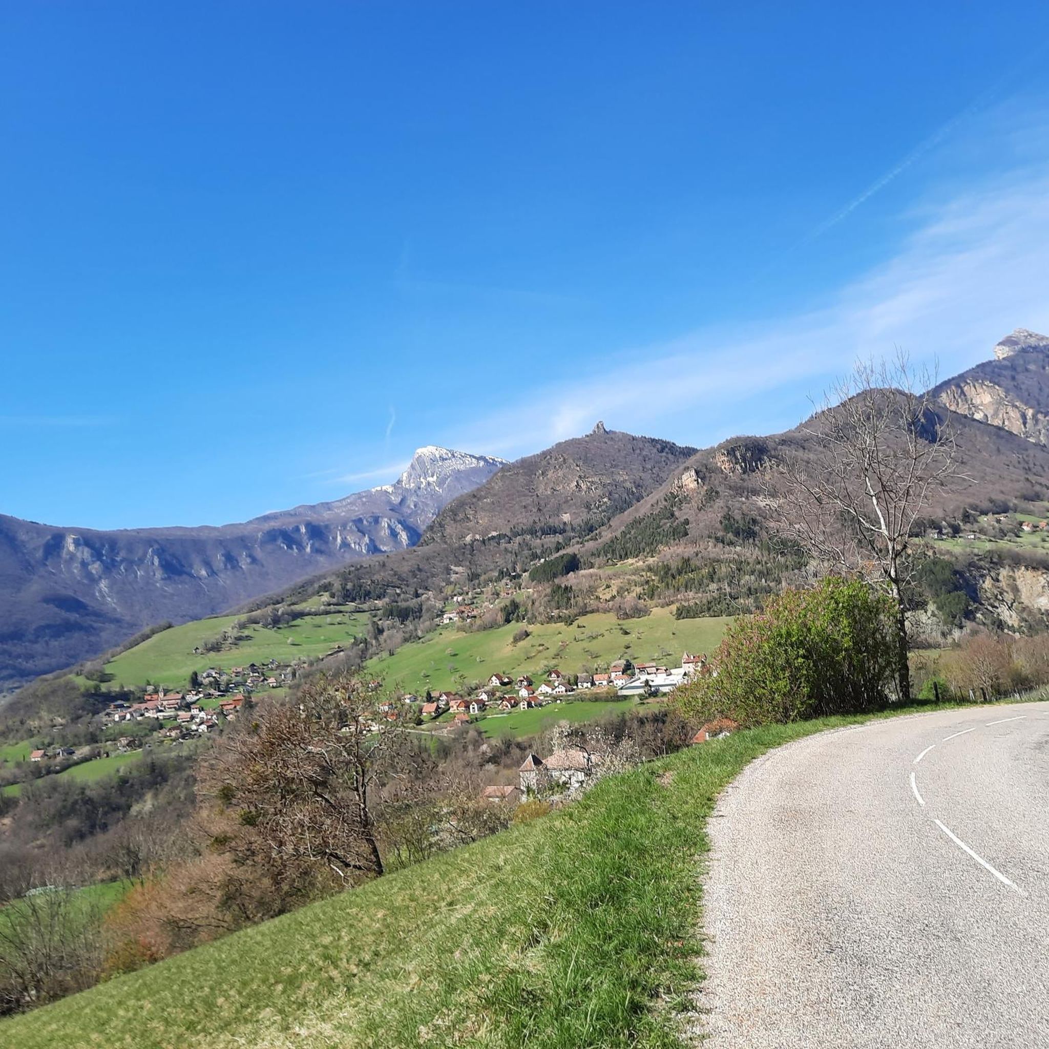
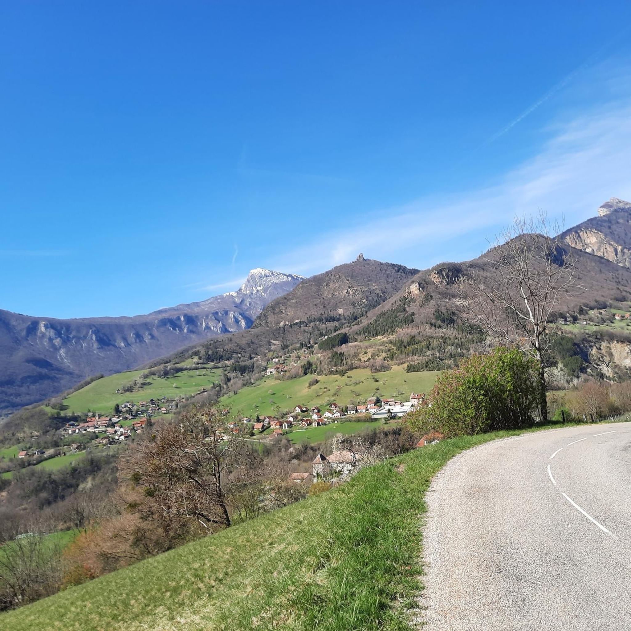


Tips from the Community

A laid out flat, with occasional views of the Isère and the ver c ors, but frankly a bit boring and frankly along the highway. The crossed rest area looked nice but was crowded with people. The charging and repair station was out of order.
0
0

This small rural village of about 600 inhabitants (the Rovonnais and Rovonnaises) is ideally located at the foot of the Vercors massif.
0
0
La Véloroute de l'Isère, officially integrated into the national route La Belle Via (referenced under number V63), is a cycling route of over 200 kilometers that runs along the Isère river. It connects the foothills of Savoie to the Drôme (connection with ViaRhôna), by crossing the entire department of Isère and its capital, Grenoble.
0
0
The La Véloroute de l'Isère, officially integrated into the national route La Belle Via (referenced under number V63), is a cycling route of over 200 kilometers that runs along the Isère river. It connects the foothills of Savoie to the Drôme (connection with ViaRhôna), by crossing the entire department of Isère and its capital, Grenoble.
0
0
The Véloroute de l'Isère, officially integrated into the national La Belle Via route (referenced under number V63), is a cycling route of over 200 kilometers that runs along the Isère river. It connects the foothills of Savoie to the Drôme (connection with ViaRhôna), crossing the entire Isère department and its capital, Grenoble.
0
0
The cycle touring routes around Noyarey cross the Isère Valley.
0
0


beautiful, well-maintained cycle path along the Isère.
0
0
Frequently Asked Questions
How many road cycling routes are available around Quaix-En-Chartreuse?
There are over 300 road cycling routes in the Quaix-En-Chartreuse area. This includes 49 easy routes, 136 moderate routes, and 116 difficult routes, offering options for all experience levels.
What kind of terrain can I expect on road cycling routes in Quaix-En-Chartreuse?
Road cycling around Quaix-En-Chartreuse is characterized by its mountainous terrain, featuring significant elevation changes, deep gorges, and scenic passes within the Chartreuse Massif. You'll find roads winding through valleys and ascending to various cols, with varied gradients from gentle valley rides to challenging mountain climbs.
Are there any beginner-friendly road cycling routes in the area?
Yes, there are several easy routes suitable for beginners. For a relaxed ride with minimal elevation gain, consider the Saint-Égrève Dam-Bridge – La Belle Via in Saint-Égrève loop from Saint-Égrève - Saint-Robert, which is 16.2 miles (26.1 km) long.
Where can I find challenging road bike climbs around Quaix-En-Chartreuse?
The region is known for its challenging mountain passes. The Gorges du Guiers Vif – Col du Cucheron loop from Saint-Égrève - Saint-Robert is a difficult 52.1 miles (83.9 km) trail that leads through dramatic gorges and over a significant mountain pass, offering a substantial climbing experience.
What are some notable viewpoints or attractions along the road cycling routes?
Many routes offer stunning views and pass by significant landmarks. You can cycle past mountain passes like Col de Porte (1326 m) or Col du Coq. Other attractions include summits like Chamechaude and historical sites such as the Fort of Saint-Eynard.
Are there any circular road cycling routes available?
Yes, many routes in the area are designed as loops. A popular moderate option is the La Pérérée loop from Meylan, which covers 21.7 miles (35.0 km) with notable ascents. Another is the Clémencières Pass – Vence Pass loop from Montbonnot-Saint-Martin, a 22.6 miles (36.4 km) moderate ride.
What is the best time of year for road cycling in Quaix-En-Chartreuse?
The best time for road cycling in Quaix-En-Chartreuse is generally from late spring to early autumn (May to October). During these months, the weather is typically milder, and mountain passes are clear of snow, offering optimal conditions for exploring the region's diverse terrain.
What do other road cyclists enjoy most about the routes here?
The routes in Quaix-En-Chartreuse are highly rated by the komoot community, with an average score of 4.4 stars from over 2,400 reviews. Cyclists often praise the challenging mountain passes, the dramatic scenery of the deep river gorges, and the variety of options available for different skill levels.
Are there any long-distance road cycling options?
For those seeking longer rides, the Oxford Bridge – Saint-Égrève Dam-Bridge loop from Saint-Égrève - Saint-Robert offers a moderate 38.5 miles (61.9 km) route. The region's extensive network allows for combining segments to create even longer tours.
Are there routes that pass through multiple mountain passes?
Yes, the mountainous nature of the Chartreuse Massif means many routes incorporate multiple passes. For example, the Clémencières Pass – Vence Pass loop from Montbonnot-Saint-Martin takes you over both the Clémencières Pass and Vence Pass, offering a rewarding climbing experience.
Most popular routes around Quaix-En-Chartreuse
Most popular attractions around Quaix-En-Chartreuse

Get inspired with the komoot mobile app


Explore more
Browse the best Road cycling routes in other regions.
