Top 20 Natural Monuments around L'Argentière-La-Bessée
Best natural monuments around L'Argentière-La-Bessée are situated in the Hautes-Alpes region of France, providing access to the Ecrins National Park. This area is characterized by high mountain landscapes, encompassing valleys, glaciers, and numerous peaks. The region's natural features include significant mountain passes, lakes, and powerful rivers. It offers a variety of natural settings for exploration.
Best natural monuments around L'Argentière-La-Bessée
- The most popular natural monuments is Tête d'Oréac, a viewpoint that offers splendid views of the Fournel valley and…
Last updated: May 21, 2026
Tête d'Oréac
Highlight • Viewpoint
Translated by Google •
Tip by

Lac des Sirènes
Highlight • Lake
Translated by Google •
Tip by

Sign up now to discover places like this
Get recommendations on the best single tracks, peaks, & plenty of other exciting outdoor places.
Sign up for free
Col des Ayes
Highlight • Mountain Pass
“At 2,477 meters above sea level, I reach the Col des Ayes which separates Briançon where I will go …
Translated by Google •
Tip by

Panorama of Vallouise
Highlight • Viewpoint
Translated by Google •
Tip by

Pissette Falls
Highlight • Waterfall
A very refreshing little …
Translated by Google •
Tip by

Sign up for free to discover even more natural monuments around L'Argentière-La-Bessée.
Sign up for free
Already have an account?
Start today with a free account
Your next adventure awaits.
Login or Signup
Popular around L'Argentière-La-Bessée
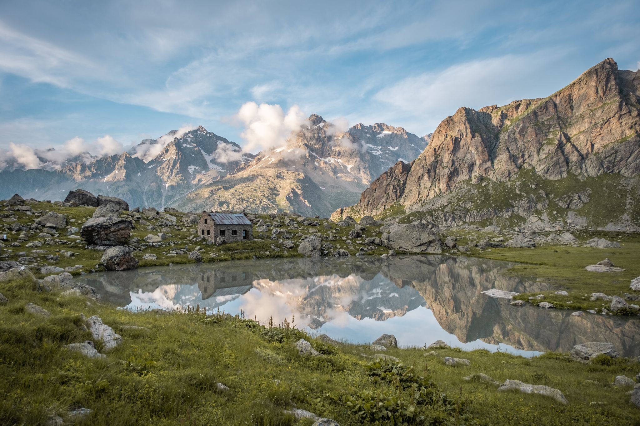
Seven hikes in France’s Southern Alps – refuges and high peaks
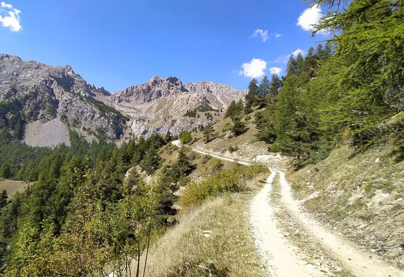
High in the Western Alps – Grand Tour des Écrins by MTB
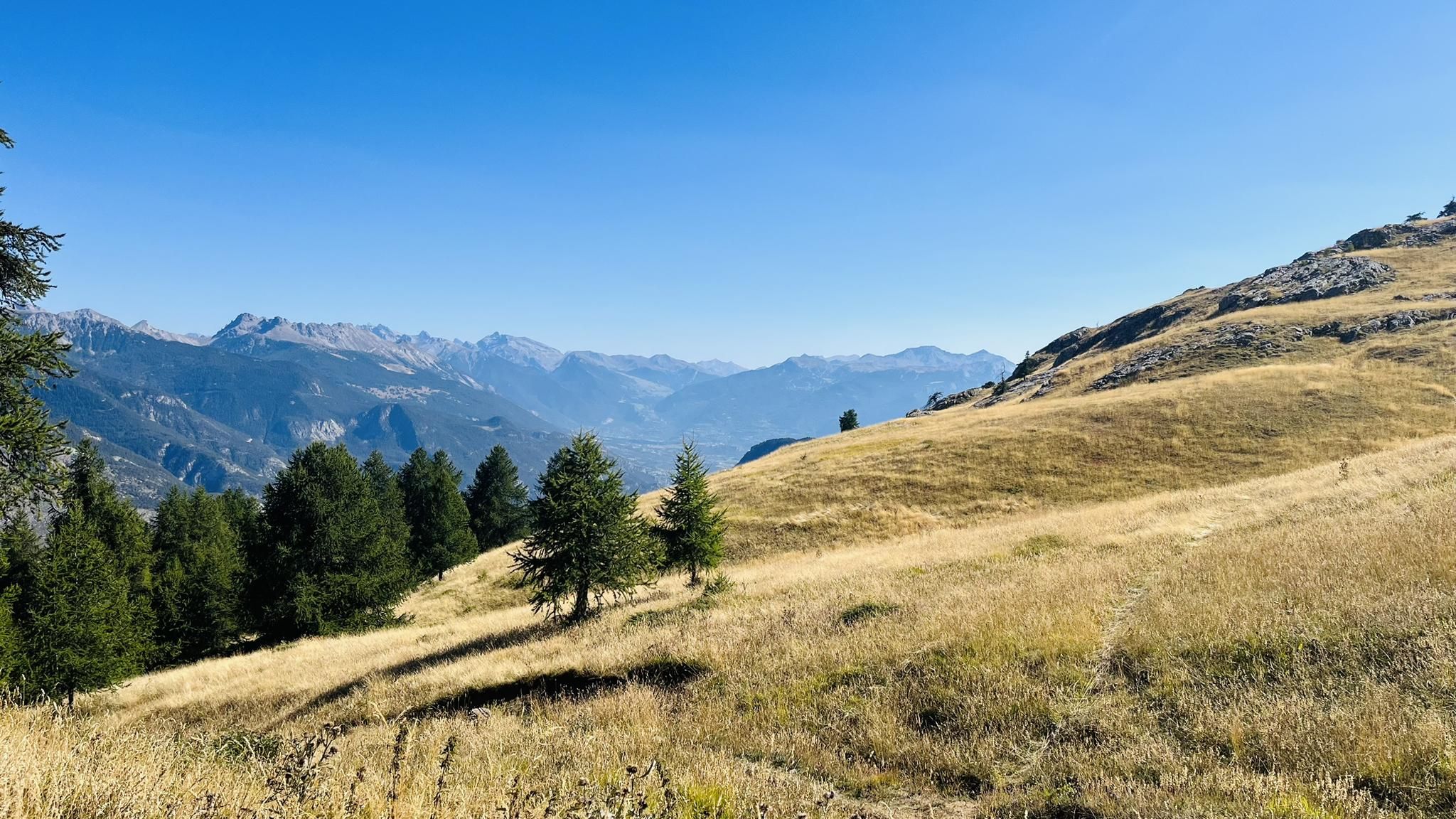
A mountain paradise – The Grand Trail des Écrins
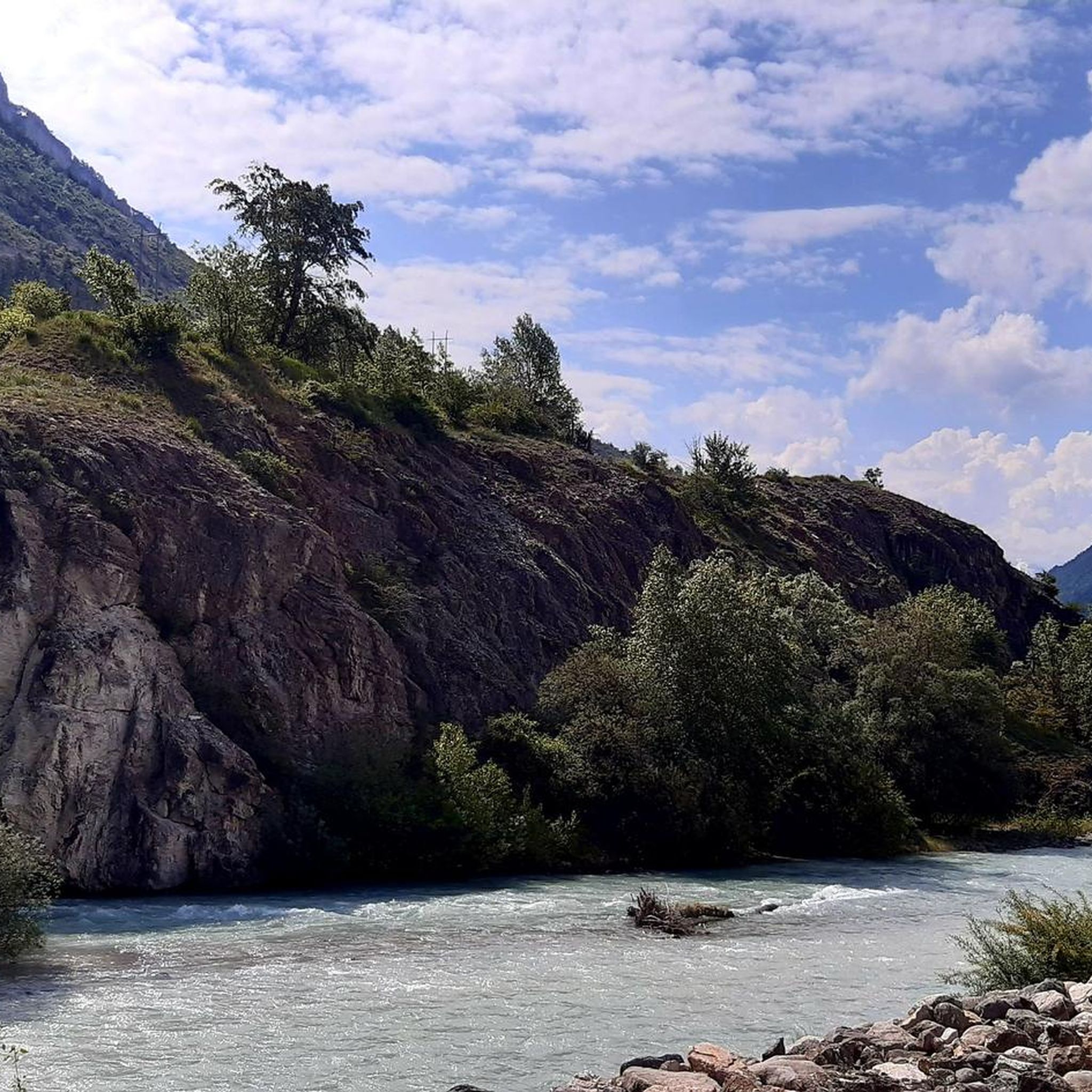
Road Cycling Routes around L'Argentière-La-Bessée
Running Trails around L'Argentière-La-Bessée
Cycling around L'Argentière-La-Bessée
Hiking around L'Argentière-La-Bessée
MTB Trails around L'Argentière-La-Bessée
Gravel biking around L'Argentière-La-Bessée

Mountain Hikes around L'Argentière-La-Bessée
Other adventures around L'Argentière-La-Bessée


Tips from the Community

Easy access with the cable cars, but beware of the sudden change in altitude. Magnificent views follow, along well-marked but sometimes steep trails (not a particularly family-friendly hike, especially for older people). Well worth planning a day trip.
0
0

Small wild summit which offers a superb view of the Fournel valley and the Tête de Dormillouse massif. The access from the Col de la Pousterle is rather accessible at the start, then becomes more difficult towards the arrival at the summit, with an ascent on a small, somewhat steep and windy ridge.
0
0
A beautiful point to observe the surrounding valleys and the Écrins massif. Access from the Col de la Pousterle can be a little dry in places, even if there is no real difficulty. This path is a little less busy than the viewpoint on the other side of the pass.
0
0

About the Col des Ayes, I wrote in an old notebook: “At 2,477 meters above sea level, I reach the Col des Ayes which separates Briançon where I will go tomorrow and Brunissard, a small resort left behind at noon. Despite a wind worthy of the gusts of Brittany, I take a break to observe the mountain. Eyes riveted on the compass, I quickly analyze the path traveled over the past two days. I recognize the massif on which rests the Saint-Simon Chapel where I spent the last night. But above all, I observe about thirty kilometers away the sumptuous Bric de Rubren and its 3,340 meters, proudly climbed two days earlier.
0
0

Beautiful panoramic view over the Vallouise valley. The path is easy to walk on.
0
0
At 2088 meters you have a beautiful 360 degree view of the region from Tête d'Oréac.
0
0

Lac des Sirènes is located in the town of Orcières in Champsaur, at an altitude of 2,396 meters. The paths to get there are in good condition and the view magnificent.
0
0

This powerful waterfall is located near the town of Vallouise. It rushes the waters of the torrent of the Combe de Narreyroux into the Onde river. A very refreshing little spot in summer. Note that it turns into a frozen waterfall in winter.
3
0
Frequently Asked Questions
What types of natural features can I expect to see around L'Argentière-La-Bessée?
The region around L'Argentière-La-Bessée, particularly within the Ecrins National Park, is rich in diverse natural features. You'll find high mountain landscapes, including valleys, glaciers, and numerous peaks. Specific highlights include panoramic viewpoints like Tête d'Oréac, high-altitude lakes such as Lac des Sirènes, and powerful waterfalls like Pissette Falls and Byasse Waterfall. The Durance River also offers significant white-water features.
Are there any family-friendly natural monuments in the area?
Yes, Pissette Falls is noted as a family-friendly natural monument. It's a refreshing spot in summer and transforms into a frozen waterfall in winter, offering an accessible and enjoyable experience for all ages. While some high-altitude trails can be steep, many areas offer gentler paths suitable for families.
What is the best time of year to visit the natural monuments?
The best time to visit depends on your preferred activities. Summer offers refreshing spots like Pissette Falls and ideal conditions for hiking to high-altitude lakes like Lac des Sirènes. Winter transforms the landscape, with opportunities for snowshoeing in areas like the Vallon du Fournel, where you can see the Blue Thistle Reserve.
What kind of outdoor activities can I do near these natural monuments?
The region is a hub for various outdoor activities. You can enjoy extensive hiking, with trails ranging from moderate to difficult, offering stunning views of the Ecrins massif. White water sports like kayaking and rafting are popular on the Durance River. There are also numerous opportunities for gravel biking and mountain biking. For detailed route options, you can explore guides like Hiking around L'Argentière-La-Bessée or Gravel biking around L'Argentière-La-Bessée.
Are there any natural monuments that offer panoramic views?
Absolutely. Tête d'Oréac, at an altitude of 2,088 meters, provides a superb 360-degree panorama of the Fournel valley and Puy Saint Vincent. The Col des Ayes, at 2,477 meters, also offers spectacular views of surrounding mountains, including distant peaks like the Bric de Rubren.
What is the terrain like for exploring natural monuments in this region?
The terrain varies significantly. You'll encounter high mountain paths, some of which are well-maintained but can be steep, especially when accessing high-altitude lakes like Lac des Sirènes. Other areas, like the Vallon du Fournel, offer more tranquil paths suitable for walking or snowshoeing in winter. Expect a mix of rocky trails, forest paths, and open mountain landscapes.
Are there any unique ecological sites or wildlife to observe?
Yes, the region is ecologically significant. The Vallon du Fournel hosts the Blue Thistle Reserve (Réserve Biologique des Deslioures), which protects the *Eryngium alpinum*, a rare and emblematic plant of the Alps. The Ecrins National Park itself is known for its diverse ecosystem, offering opportunities to observe high-mountain flora and fauna.
Can I find easy natural monuments to visit for a less strenuous experience?
While many natural monuments involve some hiking, Pissette Falls is considered an easy and refreshing spot to visit without too much effort. For a less strenuous experience, consider exploring the lower parts of valleys or viewpoints accessible with shorter walks.
What do visitors particularly enjoy about the natural monuments around L'Argentière-La-Bessée?
Visitors frequently praise the breathtaking panoramic views from summits like Tête d'Oréac and the serene beauty of high-altitude lakes such as Lac des Sirènes. The refreshing experience of waterfalls like Pissette Falls is also highly appreciated, especially in summer. The overall sense of accomplishment from reaching mountain passes and the immersive natural experience are common highlights.
Are there any natural monuments suitable for dog walking?
While specific dog-friendly designations for individual natural monuments are not always explicit, the Ecrins National Park, which encompasses many of these sites, has regulations regarding dogs. Generally, dogs are allowed on a leash on trails outside the core zone of the national park. It's advisable to check specific local regulations for the exact natural monument you plan to visit to ensure compliance.
How long should I plan for a visit to these natural monuments?
The duration of your visit can vary greatly. A trip to a waterfall like Pissette Falls might take an hour or two. Reaching high-altitude viewpoints or lakes, such as Tête d'Oréac or Lac des Sirènes, typically requires a half-day to a full-day hike. For exploring multiple sites or undertaking longer routes, planning a full day or even several days is recommended.
Are there opportunities for wild swimming near the natural monuments?
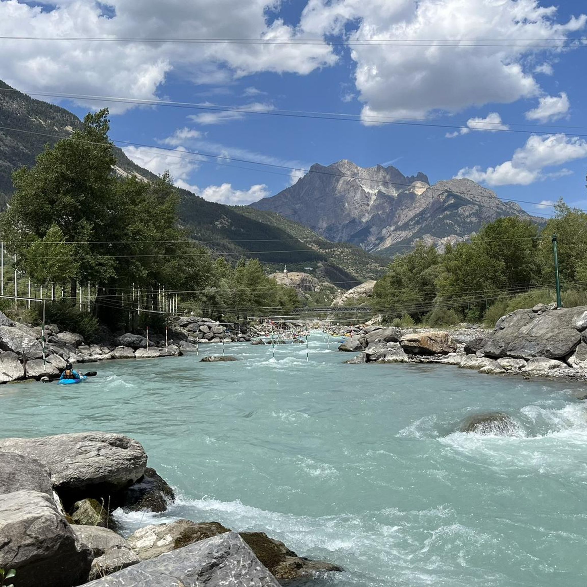
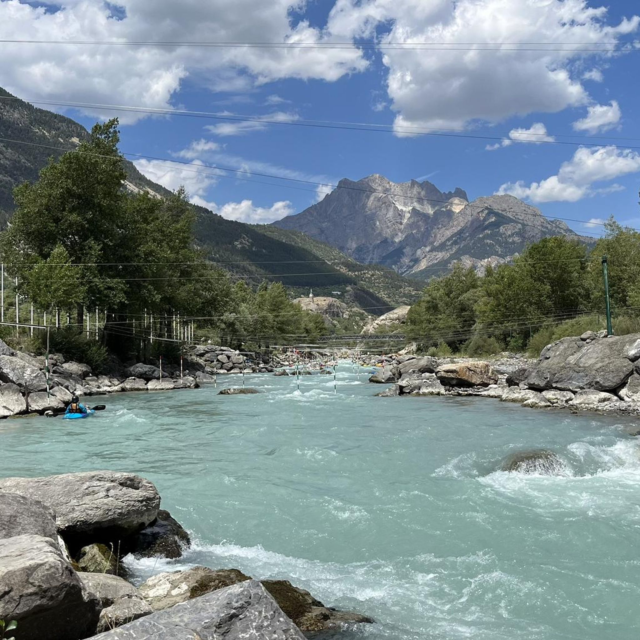
The Durance River, flowing through L'Argentière-La-Bessée, is known for its powerful white water, making it more suitable for sports like kayaking and rafting rather than casual wild swimming due to strong currents. However, high-altitude lakes like Lac des Sirènes might offer opportunities for a refreshing dip, though the water will be very cold. Always exercise caution and check local conditions before entering any natural waters.
Most popular routes around L'Argentière-La-Bessée
Most popular attractions around L'Argentière-La-Bessée

Get inspired with the komoot mobile app


Explore more
Extend your search for the best caves by checking out these guides of the top ones around L'Argentière-La-Bessée:
