L'Argentière-La-Bessée
L'Argentière-La-Bessée
The best walks and hikes around L'Argentière-La-Bessée
4.7
(1342)
11,440
hikers
31
hikes
Hiking around L'Argentière-La-Bessée offers access to diverse alpine landscapes at the eastern edge of the Ecrins National Park. The region features high peaks, glaciers, and valleys like the Fournel, characterized by larch and Scots pine forests, cascades, and torrents. This area provides a range of terrain from "half-lunar" landscapes to panoramic viewpoints, making it suitable for various hiking experiences.
Best hiking trails around L'Argentière-La-Bessée
- The most popular hiking route is View from Les Têtes (2044 m) – Les Têtes (2044m) loop from Canyon du Fournel, a 6.6 miles (10.7 km) moderate trail that takes 4 hours 10 minutes to complete, offering views of the Fournel Valley.
- Another top favourite among local hikers is Les Têtes (2044m) – View from Les Têtes (2044 m) loop from L'Argentière-la-Bessée, a difficult 12.6 miles (20.3 km) path, ascending towards the 2044m summit with extensive panoramas.
- Local hikers also love the Cavale Pass – Le Pic de la Cavale loop from Réserve biologique dirigée des Deslioures, a 15.0 miles (24.1 km) trail leading through challenging alpine terrain, often completed in about 8 hours 20 minutes.
- Hiking around L'Argentière-La-Bessée is defined by alpine peaks, glacial valleys, and larch forests, with trails ranging from easy walks to multi-day treks suitable for various fitness levels.
- The routes in L'Argentière-La-Bessée are highly rated by the komoot community with an average score of 4.7 stars from over 1300 reviews. More than 11000 hikers have used komoot to explore L'Argentière-La-Bessée's varied terrain.
Last updated: July 2, 2026
1
hikers
38.8km
12:44
1,650m
1,650m
Hard hike. Very good fitness required. Mostly accessible paths. Sure-footedness required.
3.7
(3)
48
hikers
Moderate hike. Good fitness required. Easily-accessible paths. Suitable for all skill levels.

Sign up for free
4.3
(7)
53
hikers
20.1km
07:03
1,080m
1,080m
Hard hike. Very good fitness required. Mostly accessible paths. Sure-footedness required.
44
hikers
24.1km
08:20
1,200m
1,200m
Hard hike. Very good fitness required. Sure-footedness, sturdy shoes and alpine experience required.
4.6
(5)
25
hikers
Moderate hike. Good fitness required. Easily-accessible paths. Suitable for all skill levels.
Get access to more routes and recommendations from other explorers.
Sign up for free
Already have an account?
Our route recommendations are based on thousands of hikes, rides, and runs completed by other people on komoot.
Start today with a free account
Your next adventure awaits.
Login or Signup
Popular around L'Argentière-La-Bessée
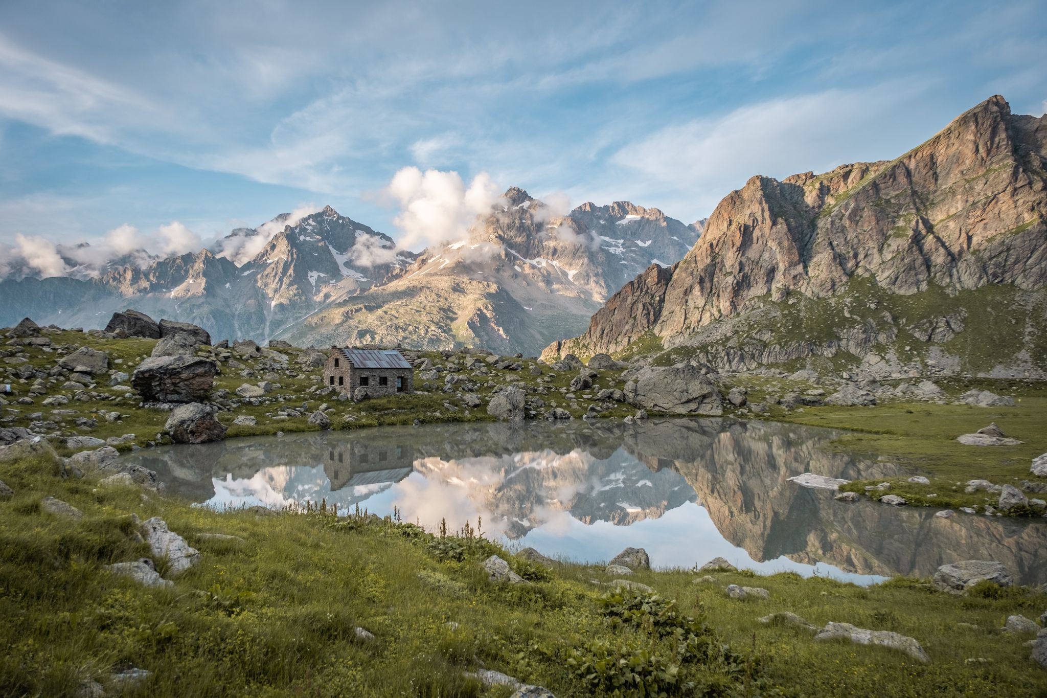
Seven hikes in France’s Southern Alps – refuges and high peaks
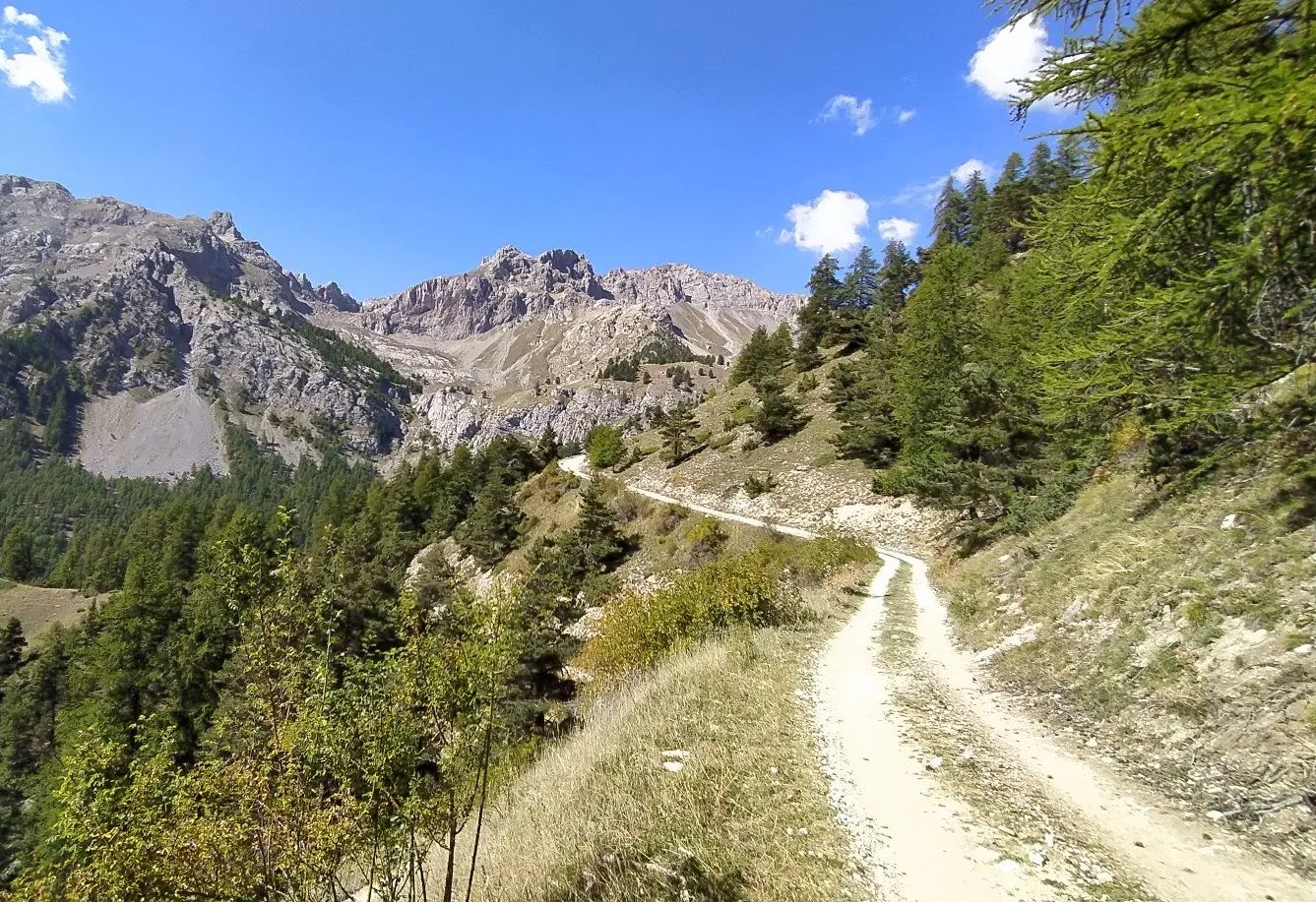
High in the Western Alps – Grand Tour des Écrins by MTB
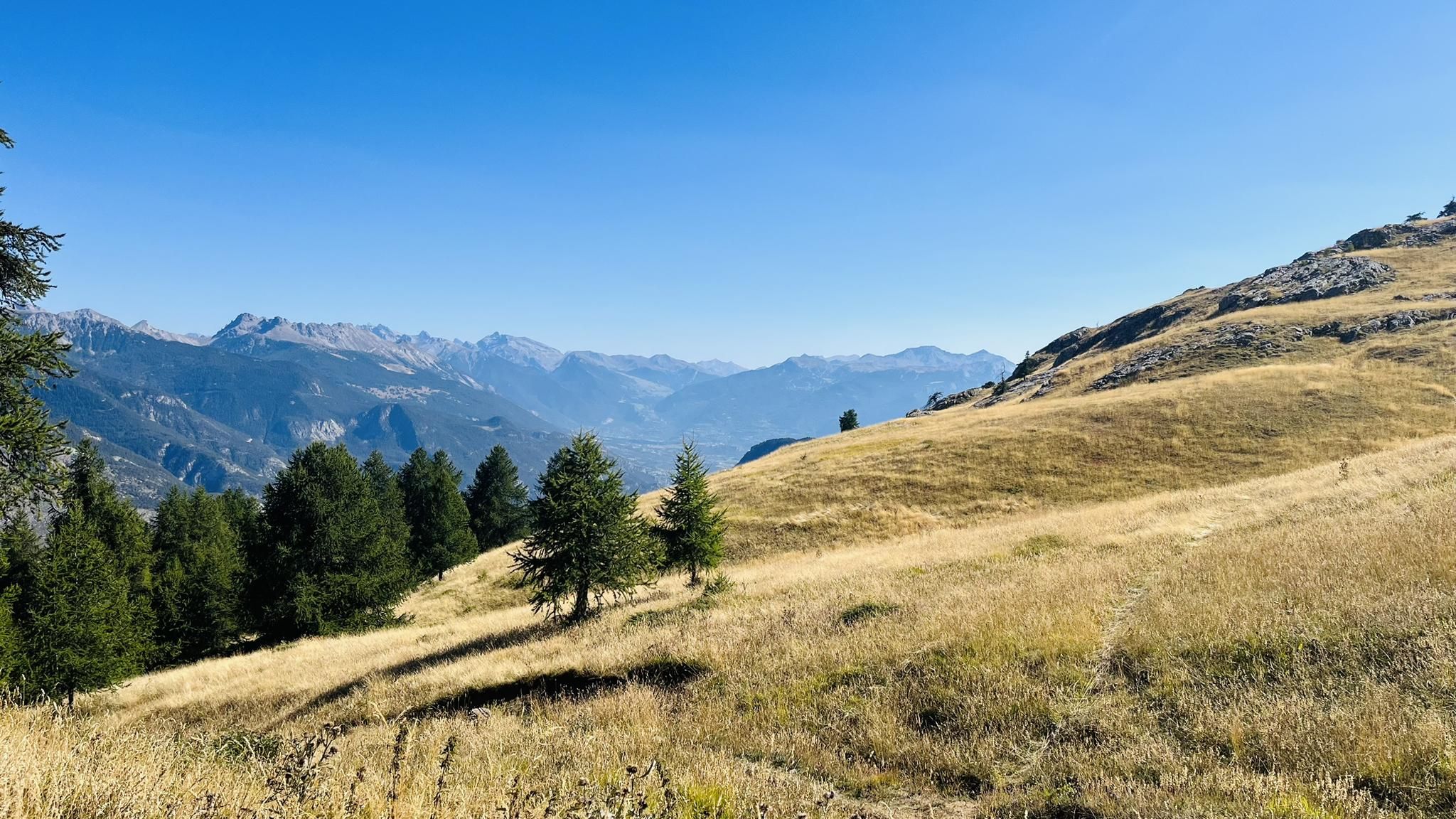
A mountain paradise – The Grand Trail des Écrins
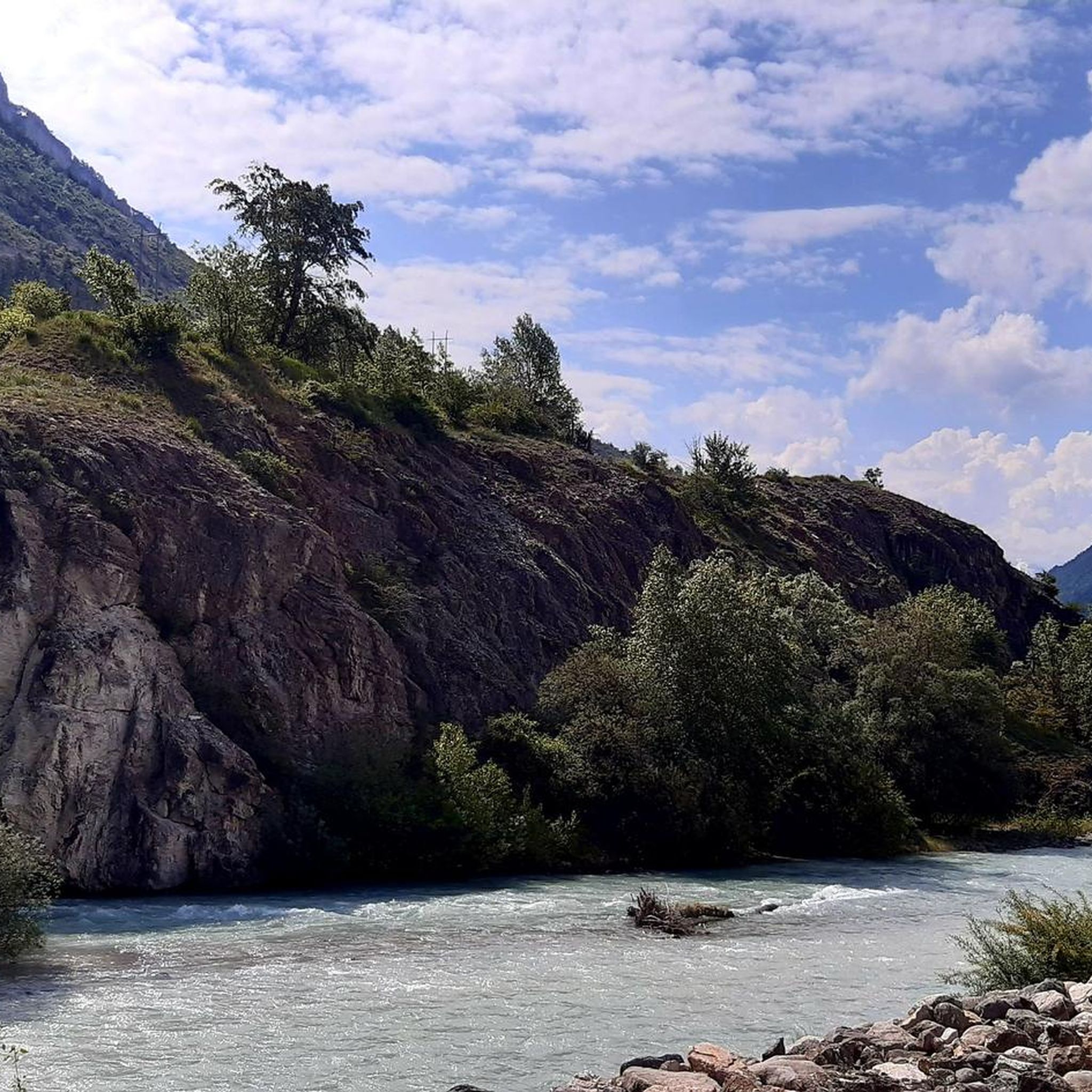
Road Cycling Routes around L'Argentière-La-Bessée
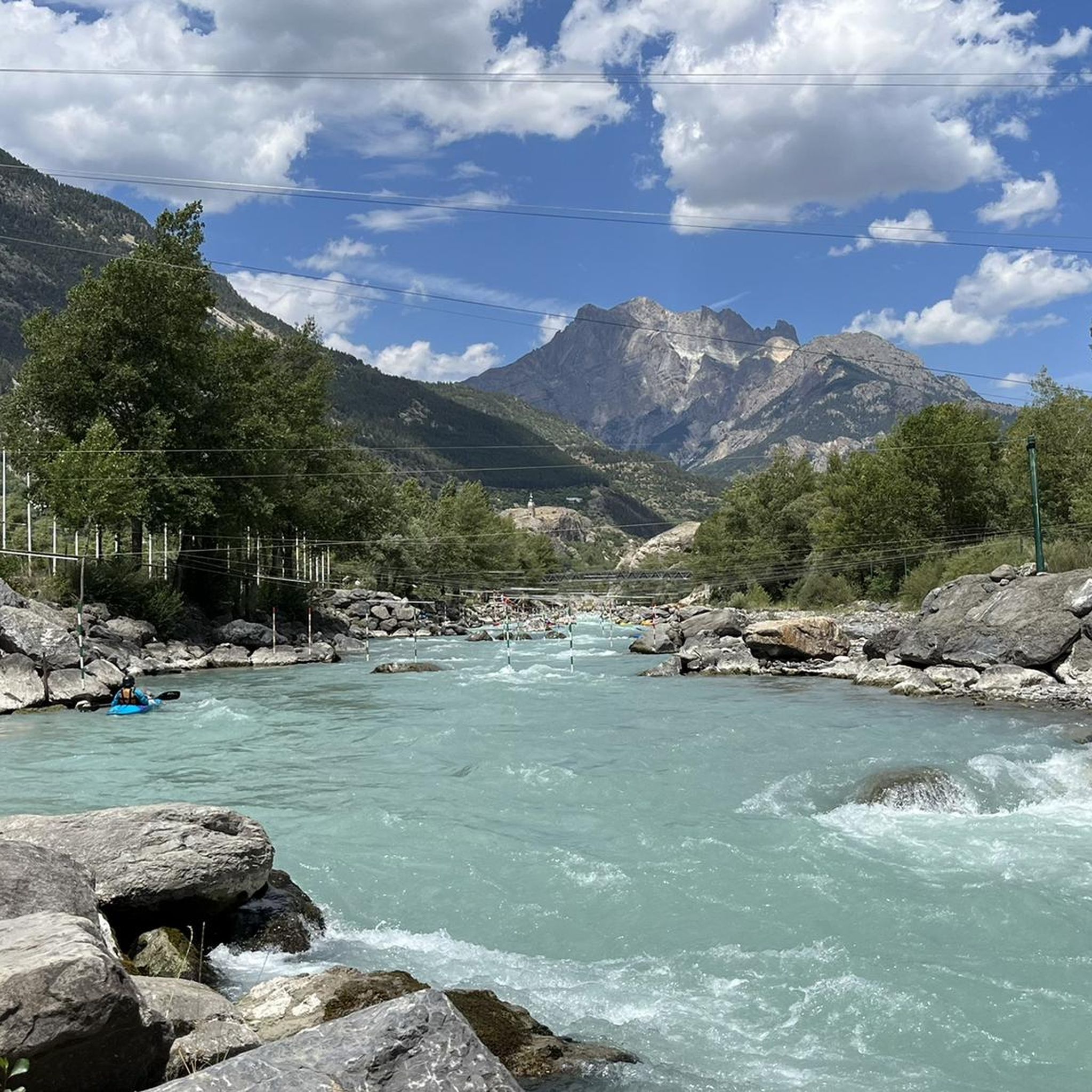
Running Trails around L'Argentière-La-Bessée
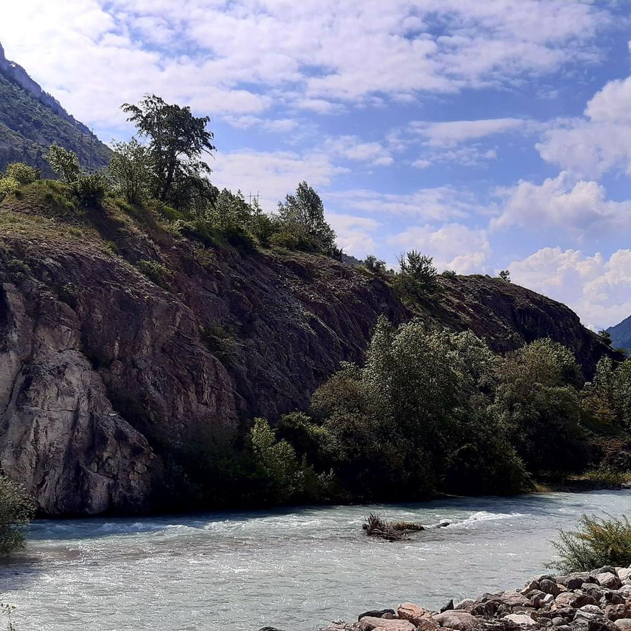
MTB Trails around L'Argentière-La-Bessée
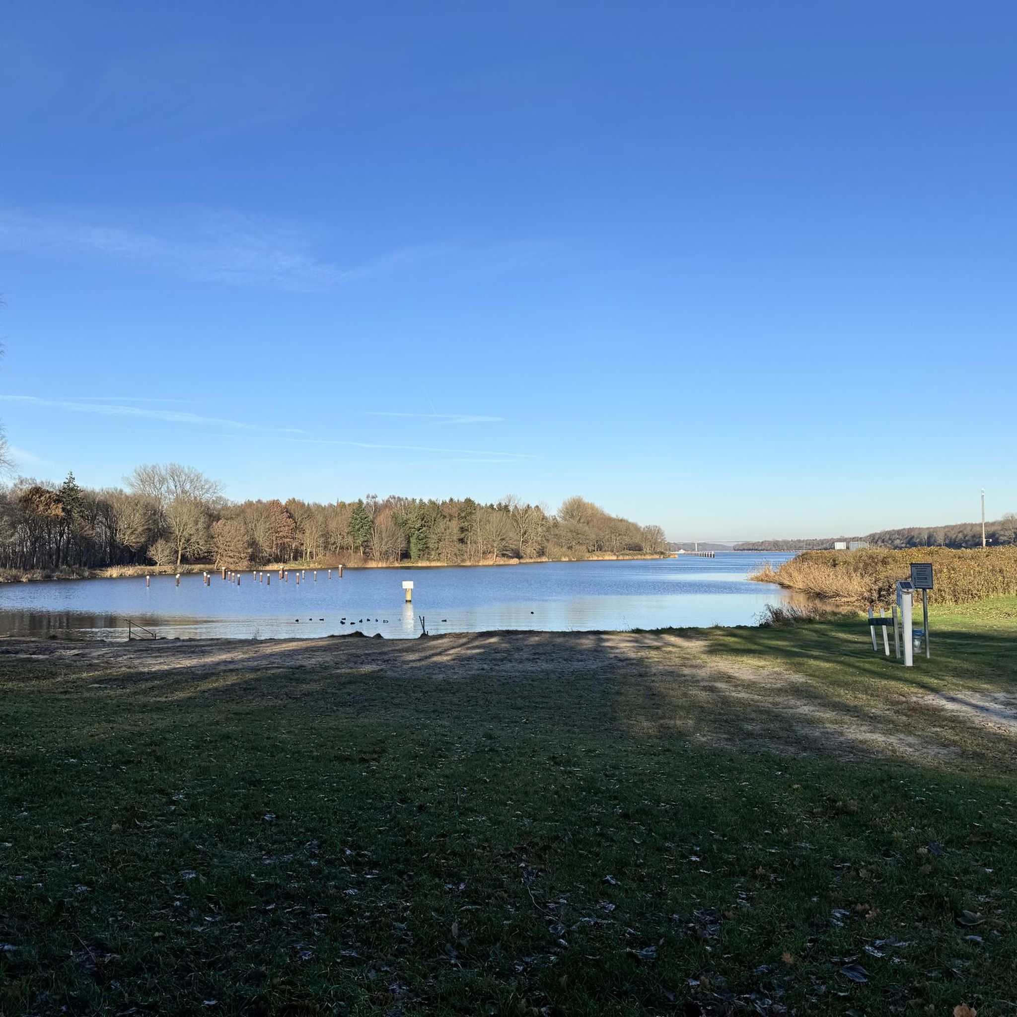
Gravel biking around L'Argentière-La-Bessée
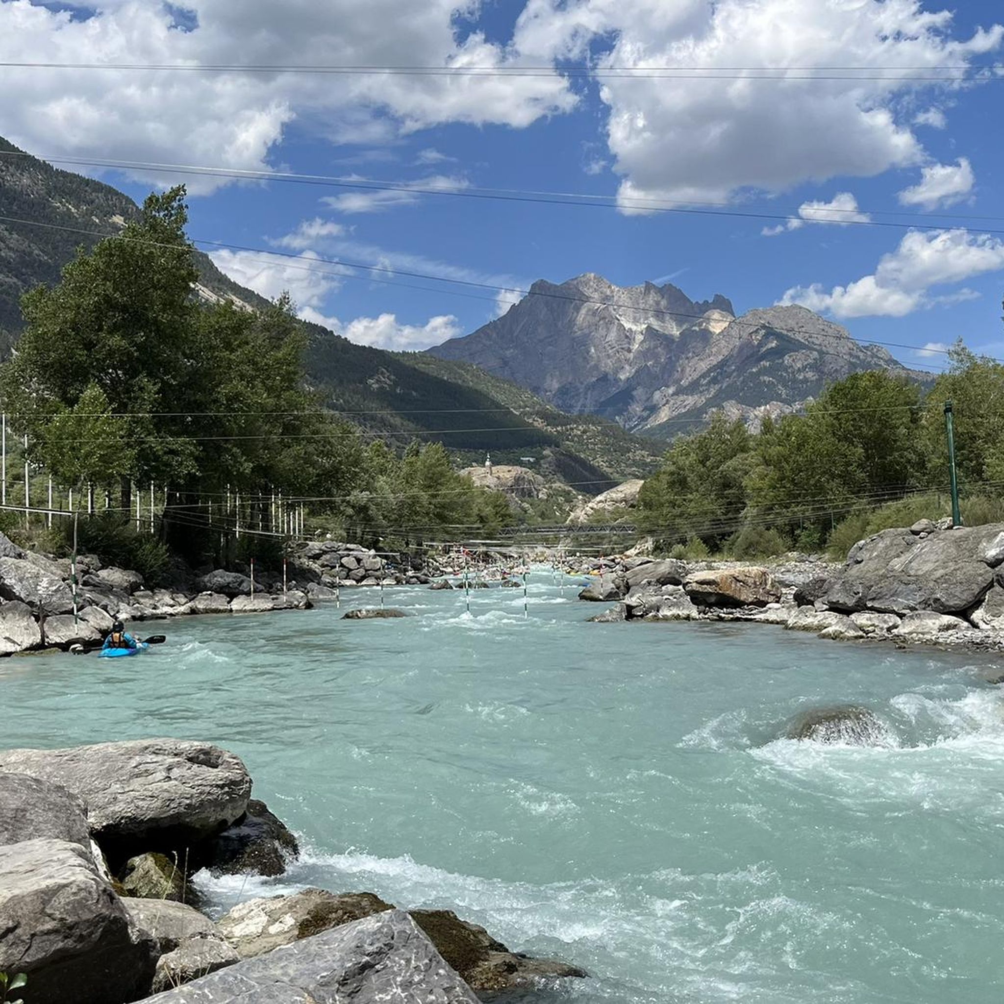
Cycling around L'Argentière-La-Bessée

Mountain Hikes around L'Argentière-La-Bessée
Other adventures around L'Argentière-La-Bessée


Tips from the Community


Beautiful view over the valley. This place can be reached via a beautiful wide gravel road from 'l Argentière
0
0

A very beautiful single track with breathtaking views of the valley and Les Vigneaux. This part is relatively flat which allows you to fully enjoy the surrounding landscapes.
0
0
This path located below the Col de la Pousterle offers beautiful views of the Écrins. The path is not difficult and allows you to raise your head without risk of falling!
0
0

Located in Argentière-la-Bessée, the Hermes clock tower, built between 1920 and 1922, overlooks the town from its rock. Nicknamed "the bosses' clock", it testifies to a municipal initiative against the metallurgical factories. A dated bench invites you to admire the view. Nearby, the Via Ferrata offers a getaway. Although not currently open to visitors, the hope of opening during heritage days persists.
0
0

The plateau between Les Têtes and Château Le Brun is a beautiful flowery alpine meadow. At an altitude of around 2,000 meters, you run on a cart track and enjoy the views. Further on, there is a beautiful viewpoint of Les Têtes.
0
0

Small summit easily accessible not far from L'Argentière-la-Bessé. In good weather, it offers a magnificent panorama of the valley and the surrounding peaks. From the Col de la Pousterle, a snowshoe route is well indicated and runs along other cross-country ski trails. At the top, some limestone geological formations and magnificent windswept larch trees give a beautiful mountain feeling.
0
0
A small limestone plateau with windswept larches and a magnificent view of the surroundings.
0
0
Frequently Asked Questions
How many hiking trails are available in L'Argentière-La-Bessée?
L'Argentière-La-Bessée offers a wide selection of hiking experiences, with over 25 routes documented on komoot. These trails cater to various fitness levels, from easy walks to challenging multi-day treks.
Are there easy hiking trails suitable for beginners or families?
Yes, the region provides several easy to moderate trails perfect for families or those seeking a less strenuous walk. For example, the La Fournel loop from L'Argentière-la-Bessée is a moderate 7.6 km route, and the Beautiful spot loop from Le Plan d'Ergue is another moderate option at 10.3 km, both offering accessible alpine scenery.
What kind of terrain can I expect on hikes in L'Argentière-La-Bessée?
The terrain in L'Argentière-La-Bessée is highly diverse, ranging from "half-lunar" landscapes to dense forests of larch and Scots pine, carved by cascades and torrents. You'll encounter alpine environments with high peaks, glacial valleys, and panoramic viewpoints, especially as you ascend towards areas like Les Têtes.
Are there any circular hiking routes in the area?
Yes, many routes in L'Argentière-La-Bessée are designed as loops. Popular circular options include the View from Les Têtes (2044 m) – Les Têtes (2044m) loop from Canyon du Fournel, which is a moderate 10.7 km trail, and the more challenging Cavale Pass – Le Pic de la Cavale loop from Réserve biologique dirigée des Deslioures, covering 24.1 km.
Can I bring my dog on the hiking trails in L'Argentière-La-Bessée?
While many trails in the region are generally dog-friendly, especially outside of protected areas, it's crucial to check specific regulations for trails within the Ecrins National Park. Always keep your dog under control, especially in areas with livestock or wildlife, and ensure you follow local guidelines regarding leashes and waste disposal.
What are some notable natural attractions or landmarks to see while hiking?
The region is rich in natural beauty. You can explore the unique flora of the Fournel Valley, home to the largest reserve of blue thistle. For stunning waterfalls, consider visiting Pissette Falls or Byasse Waterfall. Mountain passes like Col de la Pousterle offer extensive views, and the Fournel Silver Mine provides a historical perspective.
What is the best time of year to go hiking in L'Argentière-La-Bessée?
The warmer months, from late spring to early autumn (typically June to September), are ideal for hiking in L'Argentière-La-Bessée. During this period, trails are generally clear of snow, and the alpine flora is in full bloom. The region is known for its sun-drenched landscapes, making it pleasant for outdoor activities.
Are there options for more challenging or advanced hikes?
Absolutely. L'Argentière-La-Bessée, being a gateway to the Ecrins National Park, offers numerous demanding routes. Trails like Les Têtes (2044m) – View from Les Têtes (2044 m) loop from L'Argentière-la-Bessée (20.3 km, difficult) and the Cavale Pass – Le Pic de la Cavale loop from Réserve biologique dirigée des Deslioures (24.1 km, difficult) provide significant elevation gain and require good fitness.
What do other hikers say about the trails in L'Argentière-La-Bessée?
The trails in L'Argentière-La-Bessée are highly rated by the komoot community, with an average score of 4.7 stars from over 1300 reviews. Hikers often praise the stunning panoramic views, the diverse alpine landscapes, and the well-maintained paths that lead to high peaks and glacial valleys.
Are there any multi-day hiking options or refuges available?
Yes, for longer treks, L'Argentière-La-Bessée provides access to sections of significant long-distance routes like the GR® 54 (Tour of Oisans and Ecrins). There are also several refuges in the area, such as Gioberney Refuge and Pelvoux Refuge, which can be used for overnight stays during multi-day adventures.
What are the typical durations for hikes in this region?
Hike durations vary significantly based on difficulty and length. Easy to moderate trails, such as the View from Les Têtes (2044 m) – Les Têtes (2044m) loop from Canyon du Fournel, can take around 4 hours. More challenging routes, like the Cavale Pass – Le Pic de la Cavale loop from Réserve biologique dirigée des Deslioures, can require up to 8 hours 20 minutes to complete.
Are there any specific trails known for panoramic views?
Absolutely. The ascent to Les Têtes (2044m) is renowned for its 360-degree panoramas of the Fournel Valley, Argentière, Mont Pelvoux, and Glacier Blanc. The Col de la Pousterle also offers extensive views into the Fournel Valley, and the Pic de la Cavale provides magical vistas towards the Ecrins massif.
Most popular routes around L'Argentière-La-Bessée
Most popular attractions around L'Argentière-La-Bessée

Get inspired with the komoot mobile app


Explore more
Browse the best Hikes in other regions.
