The best running trails around L'Argentière-La-Bessée
4.6
(24)
1,314
runners
26
runs
Jogging around L'Argentière-La-Bessée offers diverse terrain within the Hautes-Alpes region, bordering the Ecrins National Park. The area features high mountain landscapes, deep valleys, and the Durance River, providing varied running environments. Trails often lead through forests, along riverbanks, and into the mountains, with options ranging from gentle paths to challenging ascents. This region is characterized by its natural features, including the Fournel Valley and access to the Ecrins massif.
Best jogging routes around L'Argentière-La-Bessée
- The most popular jogging route is…
Last updated: July 1, 2026
39
runners
23.5km
03:42
1,220m
1,040m
Hard run. Very good fitness required. Sure-footedness, sturdy shoes and alpine experience required.
59.5km
09:15
3,110m
2,940m
Hard run. Very good fitness required. Sure-footedness, sturdy shoes and alpine experience required.

Sign up for free
5.0
(1)
27
runners
Moderate run. Good fitness required. Mostly paved surfaces. Suitable for all skill levels.
4.0
(2)
22
runners
20.4km
03:13
1,110m
1,110m
Hard run. Very good fitness required. Sure-footedness, sturdy shoes and alpine experience required.
23
runners
Hard run. Very good fitness required. Mostly paved surfaces. Suitable for all skill levels.
Get access to more routes and recommendations from other explorers.
Sign up for free
Already have an account?
Our route recommendations are based on thousands of hikes, rides, and runs completed by other people on komoot.
Start today with a free account
Your next adventure awaits.
Login or Signup
Popular around L'Argentière-La-Bessée
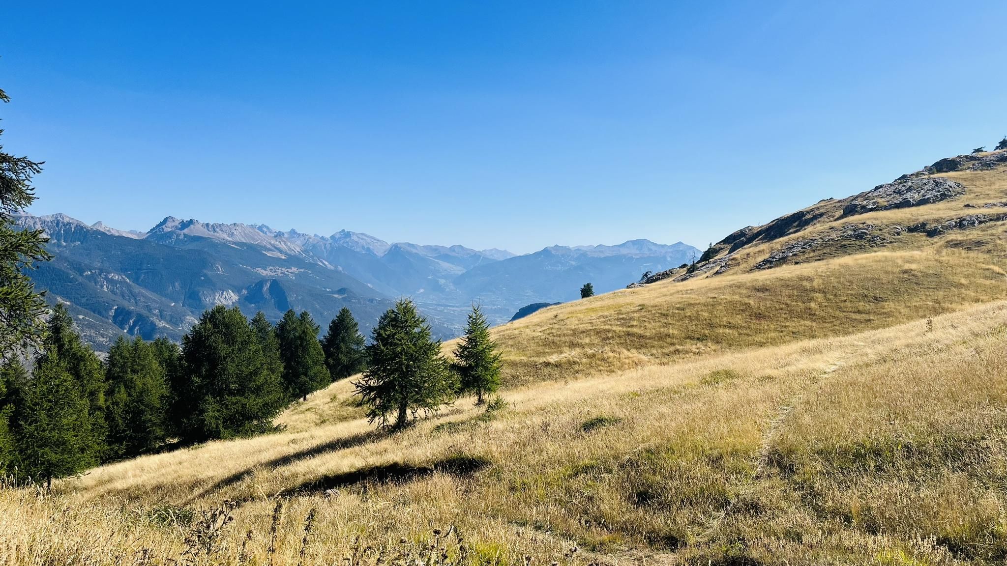
A mountain paradise – The Grand Trail des Écrins
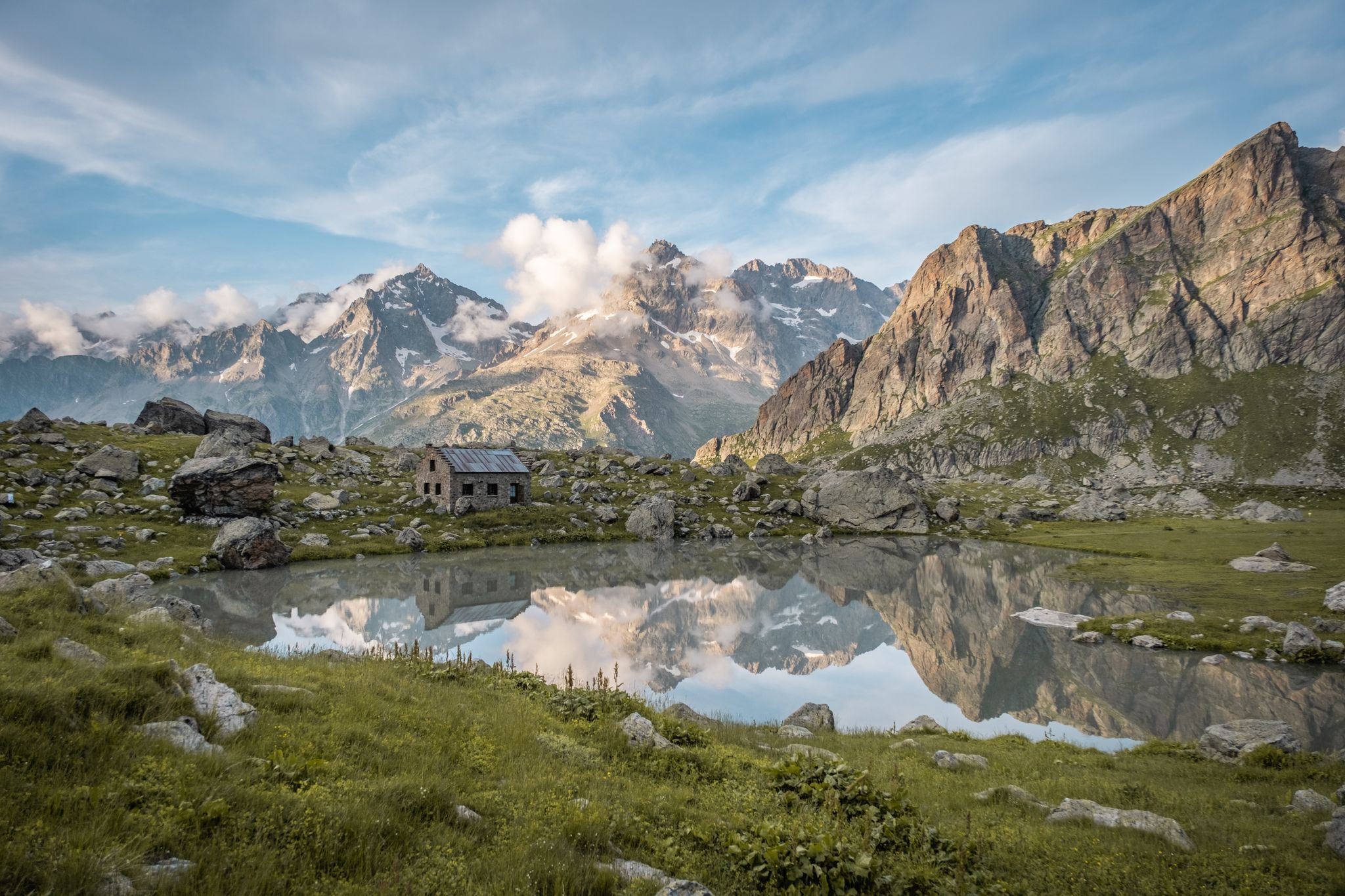
Seven hikes in France’s Southern Alps – refuges and high peaks
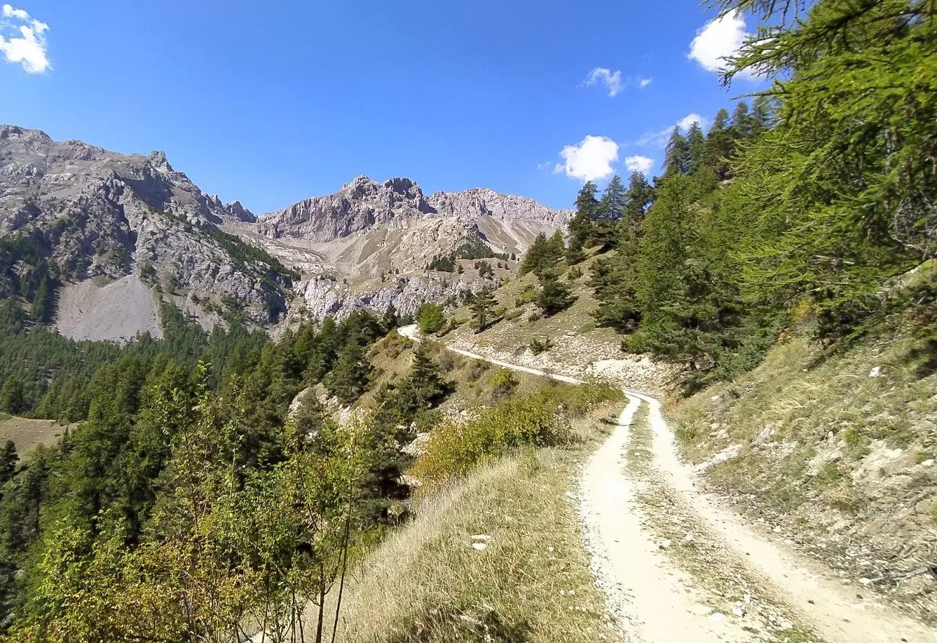
High in the Western Alps – Grand Tour des Écrins by MTB
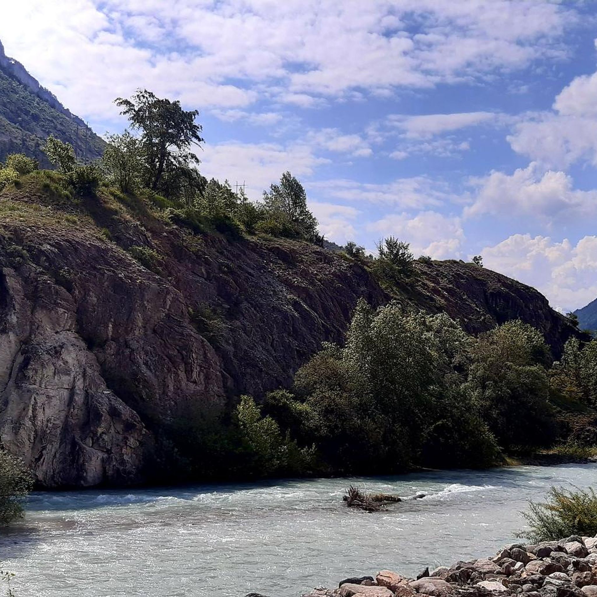
Road Cycling Routes around L'Argentière-La-Bessée
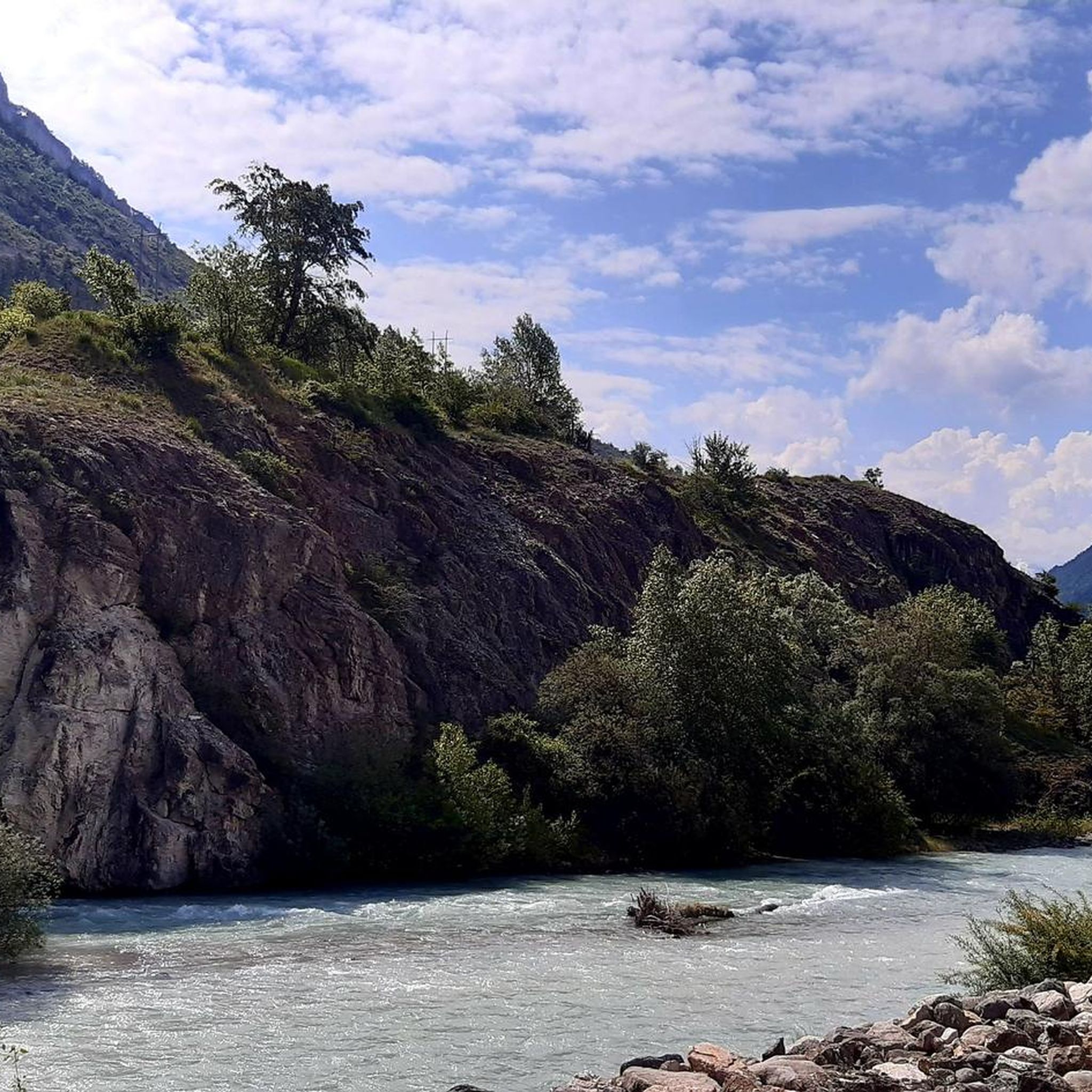
Hiking around L'Argentière-La-Bessée
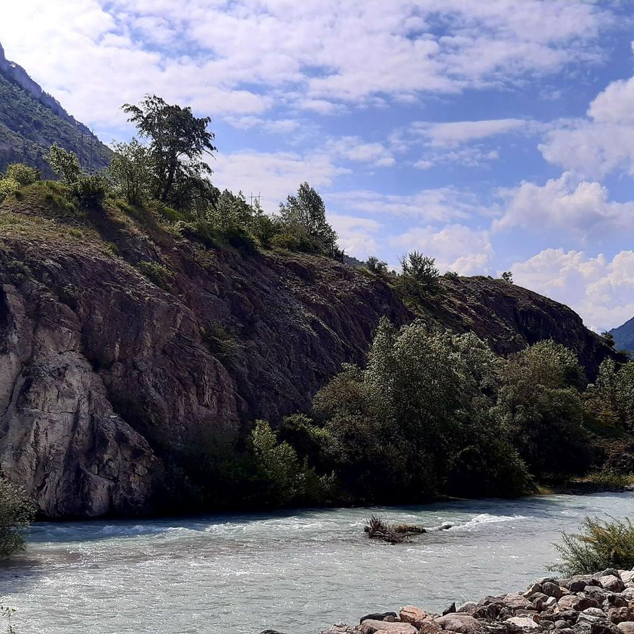
MTB Trails around L'Argentière-La-Bessée
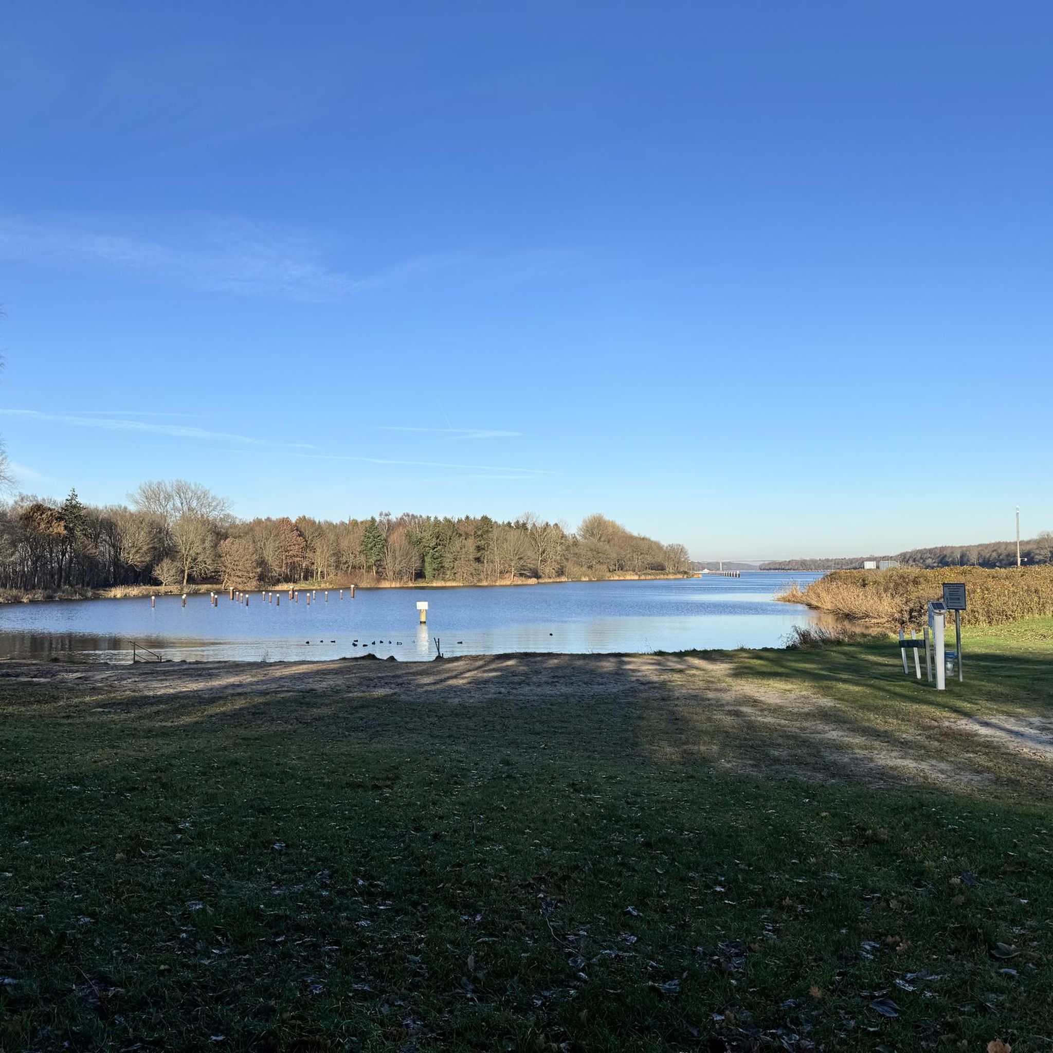
Gravel biking around L'Argentière-La-Bessée
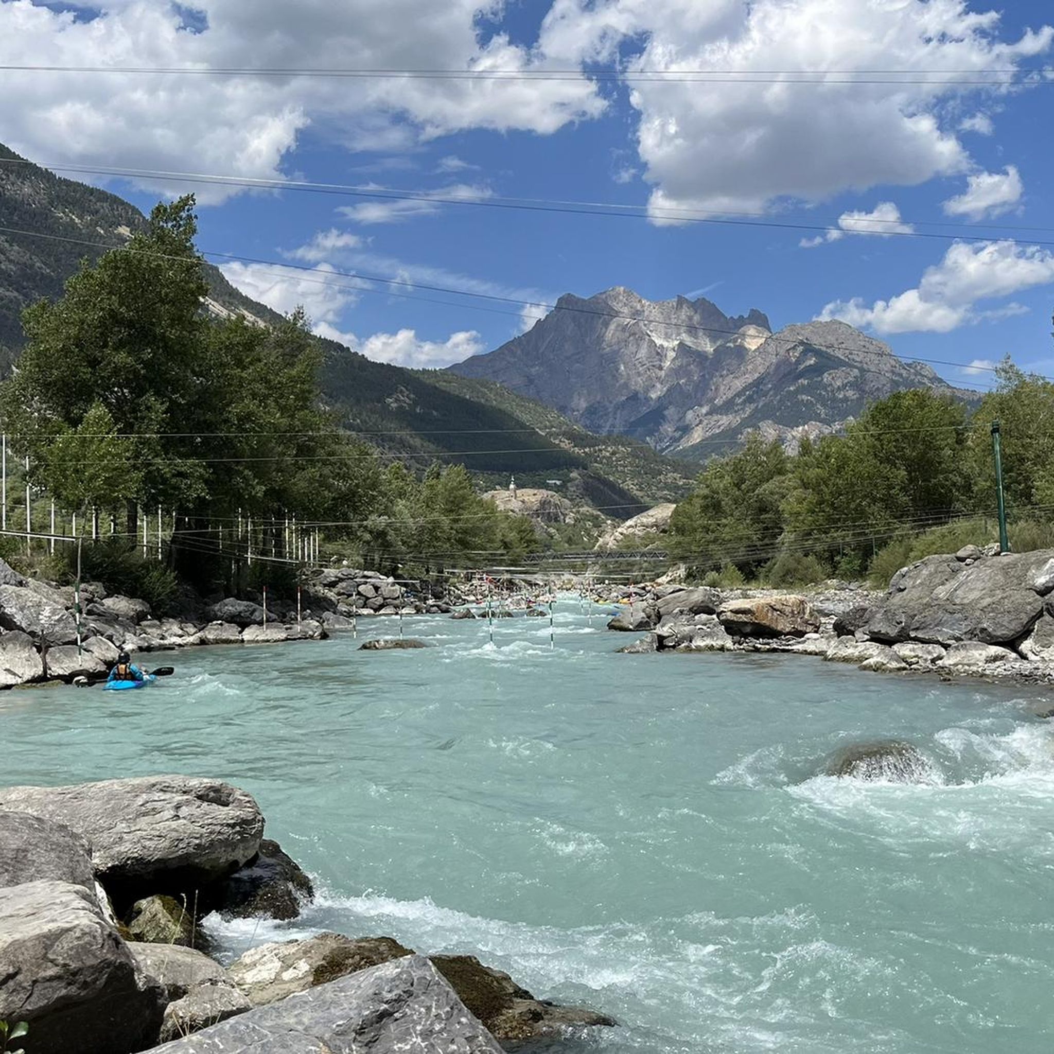
Cycling around L'Argentière-La-Bessée

Mountain Hikes around L'Argentière-La-Bessée
Other adventures around L'Argentière-La-Bessée


Tips from the Community

Beautiful plateau that is reached after a long climb with a beautiful view
0
0

Very pretty town just after Briançon.
22
0

Beautiful view over the valley. This place can be reached via a beautiful wide gravel road from 'l Argentière
0
0

The Chambran plateau, known as Chambran, has the label of natural park and thus constitutes an area of ecological, fauna and flora interest. This status means it is strongly protected. The landscapes there are fantastic. If it is the starting point for many hikes to the peaks, it is also enough to be a superb hiking destination.
1
0

In Occitan, the pousterle is a small gate (a postern). It comes from the Latin posterula, which means the back door. This toponym sometimes refers to a pass, which is a gate between two valleys. Glaciers carved out this gate where an arm passed between the glacier that occupied the Fournel valley and the one that flowed into the Vallouise valley.
0
0

A very beautiful single track with breathtaking views of the valley and Les Vigneaux. This part is relatively flat which allows you to fully enjoy the surrounding landscapes.
0
0

Located in Argentière-la-Bessée, the Hermes clock tower, built between 1920 and 1922, overlooks the town from its rock. Nicknamed "the bosses' clock", it testifies to a municipal initiative against the metallurgical factories. A dated bench invites you to admire the view. Nearby, the Via Ferrata offers a getaway. Although not currently open to visitors, the hope of opening during heritage days persists.
0
0

The plateau between Les Têtes and Château Le Brun is a beautiful flowery alpine meadow. At an altitude of around 2,000 meters, you run on a cart track and enjoy the views. Further on, there is a beautiful viewpoint of Les Têtes.
0
0
Frequently Asked Questions
How many running routes are available around L'Argentière-La-Bessée?
There are over 20 running routes available for jogging and trail running in the L'Argentière-La-Bessée area. These routes offer a variety of experiences, from moderate valley loops to challenging mountain ascents.
What are the difficulty levels of the running trails in this region?
The running trails around L'Argentière-La-Bessée cater to various fitness levels. You'll find 1 easy route, 8 moderate routes perfect for a steady jog, and 14 difficult routes for experienced trail runners seeking a challenge in the high mountain terrain.
Are there any family-friendly jogging paths in L'Argentière-La-Bessée?
While specific 'family-friendly' routes aren't explicitly categorized, the region offers easier paths along the Durance River and within valleys that are generally suitable for all skill levels. For a moderate option, consider the Gravel in the Vallouise valley – La Gyronde loop from L'Argentière-la-Bessée, which is 4.7 miles long and takes about 53 minutes.
Can I bring my dog on the running trails?
Many trails in the L'Argentière-La-Bessée area, especially those outside the core Ecrins National Park zones, are dog-friendly. However, it's always recommended to keep dogs on a leash, especially in areas with wildlife or livestock, and to check specific trail regulations before you go.
What kind of natural landscapes can I expect to see while running?
You'll experience a stunning variety of landscapes, including majestic high mountain views, deep valleys, and the vibrant Durance River. Many routes wind through forests, along riverbanks, and offer panoramic vistas of the Ecrins massif. The Fournel Valley, for instance, is known for its scenic trails and unique flora.
Are there any circular running routes available?
Yes, there are several circular running routes. A popular moderate option is the Gravel in the Vallouise valley – La Gyronde loop from L'Argentière-la-Bessée. For a more challenging circular experience, consider The Hermes Clock loop from L'Argentière-la-Bessée, which is 7.5 miles long and features significant elevation changes.
What are some notable landmarks or attractions I might see along the running routes?
While running, you might encounter various points of interest. Some routes offer views of peaks like Tête d'Oréac or pass near historical sites such as Lebrun Castle. You could also discover natural features like Lac des Sirènes or the dramatic Col de la Pousterle.
What is the best time of year to go jogging in L'Argentière-La-Bessée?
The region is excellent for jogging from spring through autumn, when trails are generally clear of snow and the weather is pleasant. Summer offers warm conditions, while spring and autumn provide cooler temperatures and vibrant scenery. In winter, some higher trails may require snowshoes, but lower valley paths can still be accessible depending on snow conditions.
Are there any challenging trail running options for experienced runners?
Absolutely. L'Argentière-La-Bessée is a gateway to the Ecrins National Park, offering demanding routes for experienced trail runners. The Trans'Écrins is a difficult 36.9-mile path traversing high mountain terrain, providing a significant challenge. Another demanding option is The Fournel Trail, a 14.6-mile difficult route winding through the scenic Fournel valley.
What do other runners enjoy most about jogging in L'Argentière-La-Bessée?
The running routes in L'Argentière-La-Bessée are highly rated by the komoot community, with an average score of 4.6 stars from over 26 reviews. Runners often praise the diverse terrain, the stunning high mountain landscapes, and the well-maintained paths that offer both physical challenge and breathtaking scenic beauty.
Are there running routes that offer mountain views?
Yes, many running routes in the area provide spectacular mountain views, particularly those that venture into the higher elevations or along the edges of the Ecrins National Park. You'll often find panoramic viewpoints offering expansive vistas of the Ecrins massif and the Durance valley.
Are there any running routes along the Durance River?
Yes, the Durance River flows through the region, and several running paths follow its course. These routes offer a gentler terrain compared to mountain trails and provide a refreshing experience alongside the water, often passing by leisure spots like the Plan d'eau de L'Argentière-La-Bessée.
Most popular routes around L'Argentière-La-Bessée
Most popular attractions around L'Argentière-La-Bessée

Get inspired with the komoot mobile app


Explore more
Browse the best Running Trails & Routes in other regions.
