Top 4 Mountain Passes around Santa María De Guía De Gran Canaria
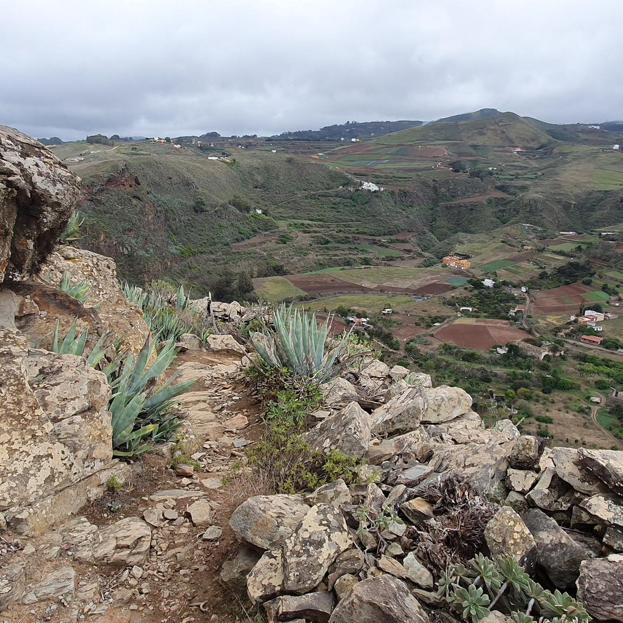
Best mountain passes around Santa María De Guía De Gran Canaria are found within a municipality that extends from the coast to higher altitudes, reaching approximately 1,530 meters. The area features diverse landscapes, including the notable Montaña Alta, a mountain and neighborhood reaching 950 meters above sea level. This region offers panoramic views of the northern coast, summits, and mid-altitude areas, providing a connection with the natural environment of the Canary Islands. It is recognized for its natural features and…
Last updated: July 1, 2026
Cruz de Tejeda
Highlight • Mountain Pass
Showing Translation
Tip by

San Bartolomé–Ayacata Road
Highlight (Segment) • Cycleway
Tip by

Sign up now to discover places like this
Get recommendations on the best single tracks, peaks, & plenty of other exciting outdoor places.
Sign up for free
Degollada de los Hornos Pass
Highlight • Mountain Pass
Showing Translation
Tip by

GC-600 Through Hoya del Gamonal
Highlight (Segment) • Mountain Pass
Tip by

Berbique Pass Viewpoint
Highlight • Viewpoint
Tip by

Sign up for free to discover even more mountain passes around Santa María De Guía De Gran Canaria.
Sign up for free
Already have an account?
Start today with a free account
Your next adventure awaits.
Login or Signup
Popular around Santa María De Guía De Gran Canaria
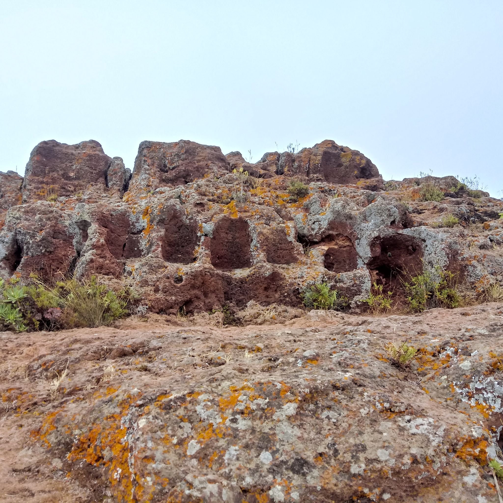
Hiking around Santa María De Guía De Gran Canaria
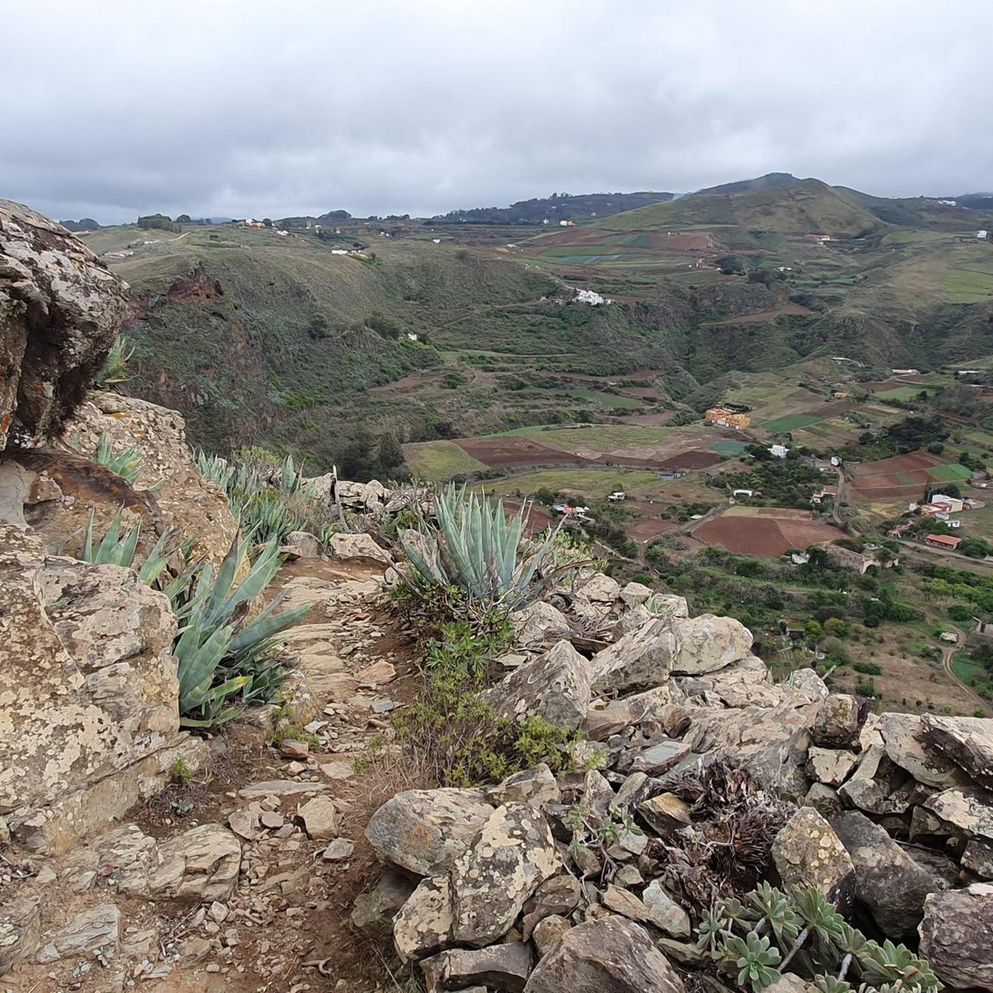
Road Cycling Routes around Santa María De Guía De Gran Canaria
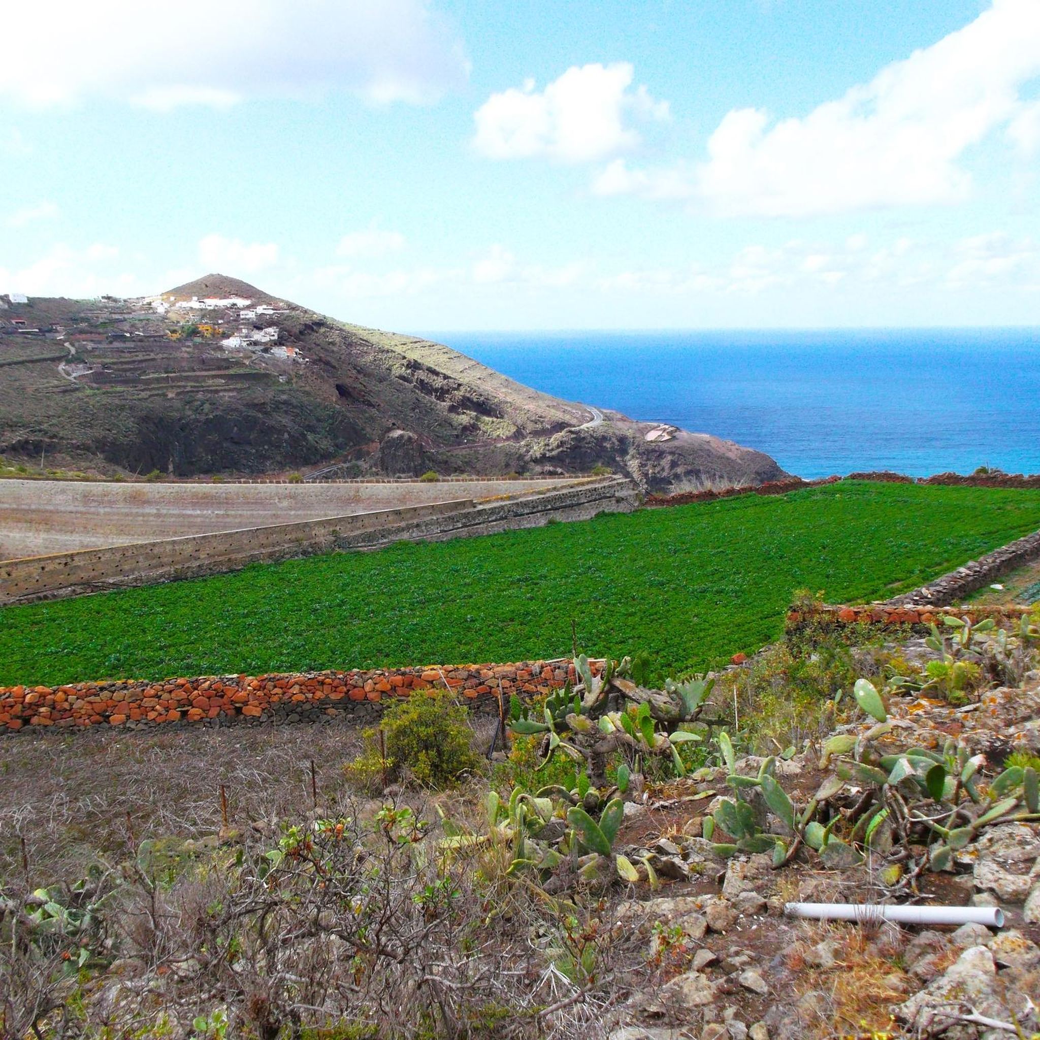
Running Trails around Santa María De Guía De Gran Canaria
Cycling around Santa María De Guía De Gran Canaria
MTB Trails around Santa María De Guía De Gran Canaria

Mountain Hikes around Santa María De Guía De Gran Canaria
Tips from the Community

In a magnificent location in the middle of pine forests, you can choose here to take the upper or lower hiking trail to climb to Pico de las Nieves.
0
0

The entire route is freshly paved. A dream.
1
0

From here you can go hiking, there is a public car park nearby. Locals offer various delicacies😊
1
0

Here you can decide whether you want to climb to the Pico de las Nieves via the upper or lower hiking trail.
4
0

This is the first sign with directions to Ventana del Nublo, starting from the north you have to follow the signs of the "Camino de Santiago" up to this point (south) until you find the sign.
1
0


The Berbique Pass is marked by a circular paved square, which is said to have been used for threshing in the past.
2
0
Beautiful route but difficult to descend due to poorer asphalt. Also watch the wind here
0
0
Frequently Asked Questions
What are the most scenic viewpoints among the mountain passes near Santa María De Guía De Gran Canaria?
For breathtaking panoramic views, consider visiting Cruz de Tejeda, which offers expansive vistas of the island's volcanic landscape. Another excellent spot is Degollada de los Hornos Pass, known for its beautiful scenery and options for climbing towards Pico de las Nieves. Within Santa María de Guía itself, Montaña Alta provides spectacular 360-degree views, including the northern coast, summits, and even neighboring islands on clear days.
Are there family-friendly mountain passes or viewpoints in the area?
Yes, Cruz de Tejeda is categorized as family-friendly, offering not just views but also amenities like restaurants and craft stalls. The general area around Montaña Alta, with its accessible viewpoint, is also suitable for families looking to enjoy nature and history.
What kind of outdoor activities can I do near these mountain passes?
The region around Santa María De Guía De Gran Canaria offers a variety of outdoor activities. You can find numerous cycling routes, including road cycling and mountain biking trails. For example, there are challenging cycling routes like the 'Playa de las Nieves, Agaete – La Aldea Tunnel loop' and MTB trails such as the 'Alto de los Mojones y el faro de Punta Sardina' circular route. Explore more options on our guides for Cycling, Road Cycling, and MTB Trails around Santa María De Guía De Gran Canaria.
Are there specific hiking trails associated with these mountain passes?
Yes, several mountain passes serve as starting points or intersections for hiking trails. Cruz de Tejeda is a hub where many hiking trails intersect. From Degollada de los Hornos Pass, you can choose different hiking trails to climb to Pico de las Nieves. The area around Montaña Alta also offers opportunities for hikers to connect with the natural environment.
What is Montaña Alta and what makes it special?
Montaña Alta is a significant mountain and neighborhood within Santa María de Guía, reaching an altitude of 950 meters. It's renowned for its Mirador de Montaña Alta, which provides spectacular 360-degree panoramic views across the entire island. It's also an excellent spot for stargazing due to low light pollution and holds historical significance related to the region's rural life. The annual 'Fiesta del Queso' (Cheese Festival) is a popular event held here.
What kind of terrain and difficulty can I expect on the mountain passes?
The terrain varies. For cyclists, the San Bartolomé–Ayacata Road offers a climb with varied asphalt conditions, some parts being rough while others are newly paved. Generally, the mountain passes in the region can range from intermediate trails to more challenging climbs, catering to different fitness levels. Always check specific route details for difficulty ratings.
What historical or cultural significance do these mountain passes hold?
While the mountain passes primarily offer natural beauty, areas like Montaña Alta have historical significance tied to the rural life of Gran Canaria, with remnants of ancient agricultural and livestock activities. Cruz de Tejeda is marked by an iconic stone cross and is considered the geographical center of Gran Canaria, making it a cultural landmark.
Are there places to eat or stay near the mountain passes?
Yes, particularly at popular spots. Cruz de Tejeda is a tourist hotspot with several restaurants, cafes, and craft stalls. The Hotel Parador de Cruz de Tejeda is also located at the top of the pass, offering accommodation and a spa. Along the San Bartolomé–Ayacata Road, you can find quaint pubs in Ayacata to refuel.
What is the best time of year to visit the mountain passes around Santa María De Guía De Gran Canaria?
Gran Canaria generally enjoys a mild climate year-round. However, for outdoor activities like hiking and cycling on mountain passes, the cooler months from autumn to spring (October to May) are often preferred to avoid the peak summer heat, especially at lower altitudes. Higher elevations can be cooler and windier, so checking local weather forecasts is always recommended.
Can I reach these mountain passes by public transport?
While some major passes like Cruz de Tejeda are accessible by bus routes, public transport options to more remote mountain passes or viewpoints within Santa María de Guía can be limited. It's advisable to check local bus schedules and routes in advance if you plan to rely on public transport for your visit.
What natural features can I observe from the mountain passes?
From the mountain passes, you can observe diverse natural features. Montaña Alta offers views of the Tamadaba pine forest and the El Brezal Special Natural Reserve. From Cruz de Tejeda, you'll see the volcanic landscape, including Roque Bentayga and Roque Nublo. The GC-600 Through Hoya del Gamonal also passes through forested areas, providing a different natural experience.
Most popular routes around Santa María De Guía De Gran Canaria
Most popular attractions around Santa María De Guía De Gran Canaria

Get inspired with the komoot mobile app


Explore more
See even more epic mountain passes by checking out these guides around Santa María De Guía De Gran Canaria:
