The best walks and hikes around Santa María De Guía De Gran Canaria
4.2
(1041)
3,506
hikers
68
hikes
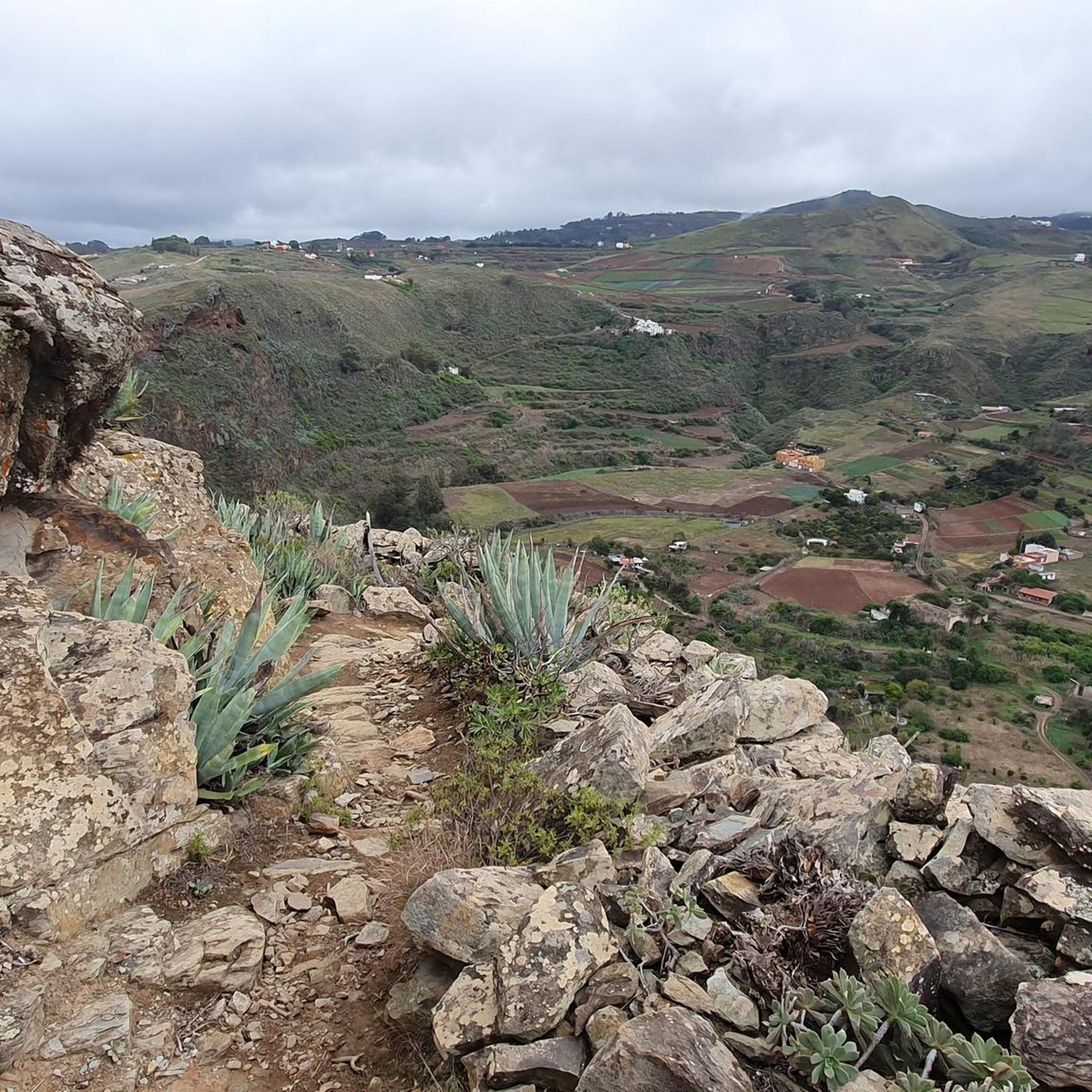
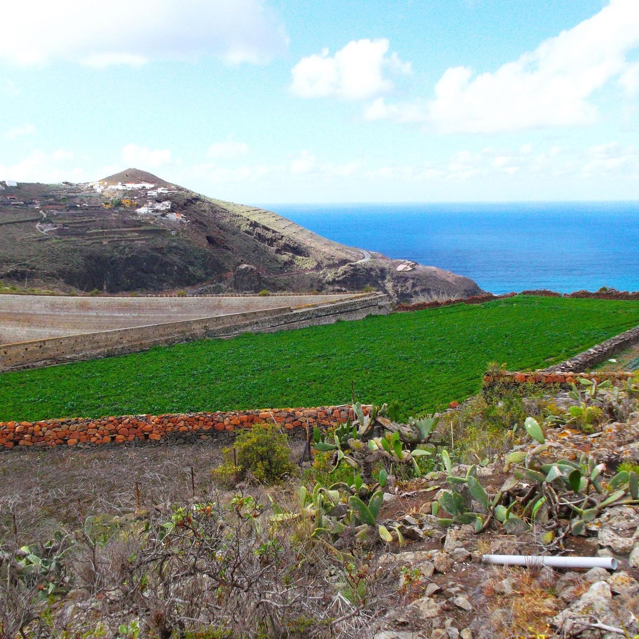
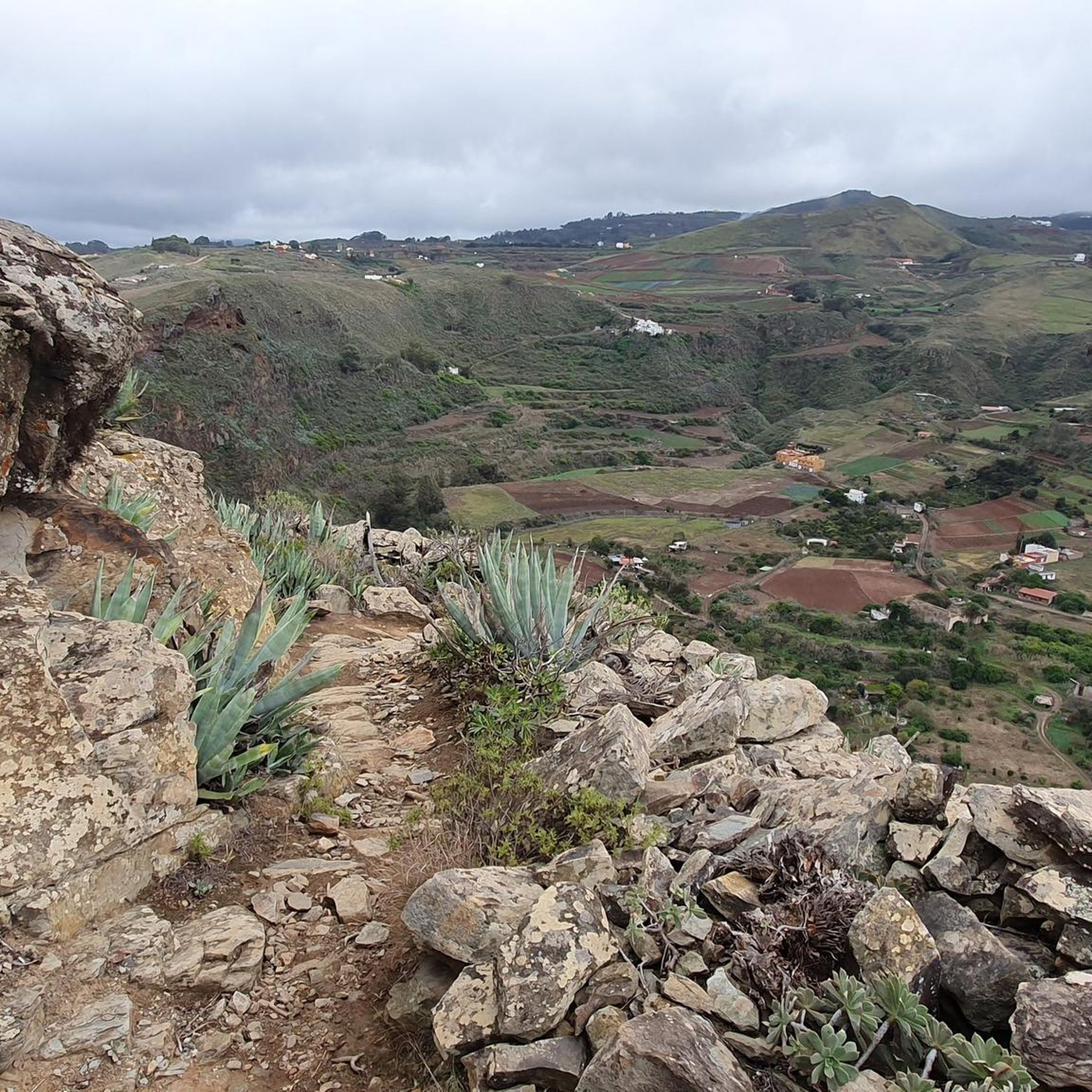
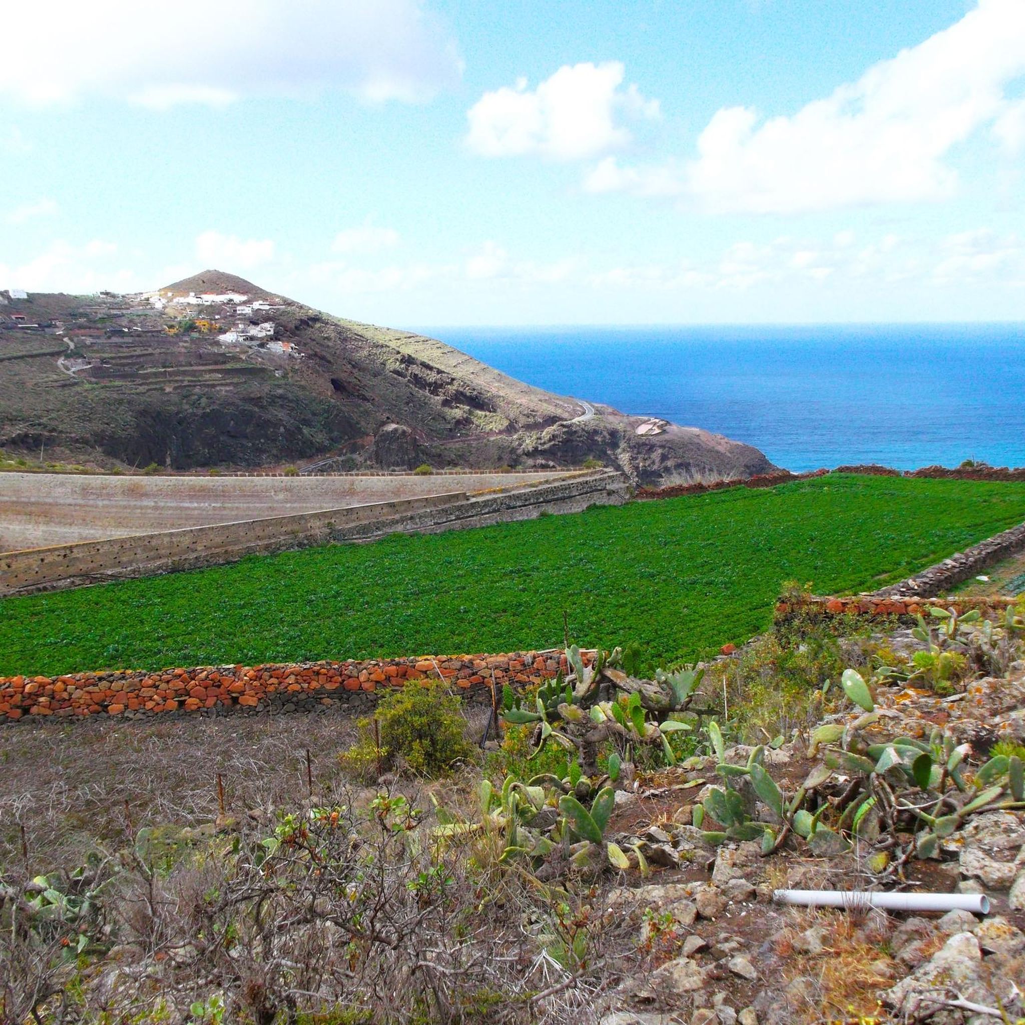
Hiking around Santa María De Guía De Gran Canaria offers diverse landscapes, from rocky coastlines and dramatic ravines to lush laurel forests. The municipality features varied terrain, including protected natural areas like Los Tilos de Moya and the Doramas Rural Park. These environments provide a range of physical features for exploration, including barrancos and mountainous sections.
Best hiking trails around Santa María De Guía De Gran Canaria
- The most popular hiking route is Lush Laurel Forest Trail – Cactus Trail…
Last updated: August 20, 2026
4.6
(110)
356
hikers
6.86km
02:09
270m
270m
Moderate hike. Good fitness required. Easily-accessible paths. Suitable for all skill levels.
4.5
(103)
311
hikers
Moderate hike. Good fitness required. Easily-accessible paths. Suitable for all skill levels.

Sign up for free
4.5
(190)
864
hikers
Easy hike. Great for any fitness level. Easily-accessible paths. Suitable for all skill levels.
4.4
(32)
106
hikers
14.5km
04:34
570m
570m
Moderate hike. Good fitness required. Easily-accessible paths. Suitable for all skill levels.
4.4
(61)
192
hikers
Moderate hike. Good fitness required. Easily-accessible paths. Suitable for all skill levels.
Get access to more routes and recommendations from other explorers.
Sign up for free
Already have an account?
Our route recommendations are based on thousands of hikes, rides, and runs completed by other people on komoot.
Start today with a free account
Your next adventure awaits.
Login or Signup
Popular around Santa María De Guía De Gran Canaria
Road Cycling Routes around Santa María De Guía De Gran Canaria
Cycling around Santa María De Guía De Gran Canaria
MTB Trails around Santa María De Guía De Gran Canaria
Running Trails around Santa María De Guía De Gran Canaria

Mountain Hikes around Santa María De Guía De Gran Canaria

Gravel biking around Santa María De Guía De Gran Canaria
Tips from the Community

The trail is unfortunately closed. We were here on 24/04/2026.
1
0

2. 2026 The route is still closed and, despite much courage, cannot be traversed.
0
0

The circular trail is currently closed. You can only use the path along the road.
0
0

The small circular trail is closed due to a landslide.
0
0

The route is still closed on one side (the most scenic) of the road. So you have to go back and forth on the other side. Here, the path runs right along the road; the rest is also prohibited. Not a particularly special route.
1
0
The trail is certainly moderate in some sections, but the stretch through the valley was very challenging. Hiking here alone is not recommended.
0
0

November 2025. The trail is fully accessible. Park directly at the small house 20 meters past the junction. Do not drive up the valley; it gets very narrow. Take the path diagonally to the left, opposite the information booth, and ascend a short distance. From there, the walk is pleasant. The return route follows a path alongside the road. Afterwards, visit the charming bar in the pedestrian zone in Moya (the second one on the right).
0
0

Great view of the crater and the landscape
1
0
Frequently Asked Questions
How many hiking trails are available in Santa María De Guía De Gran Canaria?
There are over 70 hiking routes in Santa María De Guía De Gran Canaria. You'll find a good mix, with about 30 easy trails perfect for a relaxed stroll and nearly 40 moderate routes for those looking for a bit more challenge. There are also a couple of more difficult options for experienced hikers.
What kind of terrain can I expect on hikes in Santa María De Guía De Gran Canaria?
The terrain is incredibly diverse. You can expect everything from rocky coastlines with dramatic cliffs to lush laurel forests, deep barrancos (ravines), and mountainous sections. The area includes protected natural spaces like the Doramas Rural Park and Montañón Negro Natural Monument, offering varied environments from volcanic features to dense woodlands.
Are there any circular hiking routes in the area?
Yes, Santa María De Guía De Gran Canaria offers several circular hiking trails, particularly within the Los Tilos de Moya Laurel Forest. For example, the Lush Laurel Forest Trail – Cactus Trail loop is an easy circular option, and the Cactus Trail – Lush Laurel Forest Trail loop from Moya offers a moderate circular experience.
Can I find hikes with viewpoints or natural landmarks?
Absolutely. Many trails offer spectacular views of the northern Gran Canaria coastline from rocky cliffs. The Montaña Alta area has a viewpoint accessible via 99 steps, providing beautiful vistas. You can also explore the ancient archaeological site of Cenobio de Valerón, an ancient grain warehouse carved into rock cavities, which can be incorporated into longer hiking itineraries.
Are there any waterfalls or natural pools to discover?
While not abundant, the region does feature some beautiful water-related highlights. You might find spots like the Blue Pool or El Charco de la Paloma, which are popular natural monuments or waterfalls in the broader area around Santa María De Guía De Gran Canaria.
What is the best time of year to go hiking in Santa María De Guía De Gran Canaria?
The region is enjoyable for hiking year-round due to Gran Canaria's mild climate. However, the winter months often bring lush greenery, making the landscapes particularly vibrant. Coastal trails are pleasant in warmer months, while higher elevation routes might be more comfortable during spring and autumn.
Are there family-friendly hiking options?
Yes, there are many easy trails suitable for families. The laurel forests, such as those found on the Los Tilos Laurel Forest – Los Tilos Loop, offer immersive and relatively flat walks that are perfect for all ages to enjoy the natural environment.
Is it easy to find parking for trailheads?
Parking availability varies by trailhead. Many popular starting points, especially near natural reserves like Los Tilos de Moya, have designated parking areas. It's always a good idea to check specific route details or local information for parking facilities before you head out.
Can I reach hiking trails using public transport?
Public transport options exist, connecting Santa María De Guía De Gran Canaria to various points on the island. Some bus routes may drop you near trailheads or within walking distance of them. For specific routes, it's recommended to consult local bus schedules for the most up-to-date information on accessibility to your chosen starting point.
What do other hikers enjoy most about the trails here?
The trails in Santa María De Guía De Gran Canaria are highly rated by the komoot community, with an average score of 4.2 stars from over 900 reviews. Hikers often praise the diverse landscapes, from the unique laurel forests to the dramatic ravines and coastal views, as well as the well-maintained paths that offer a true natural museum experience.
Are there places to eat or stay near the hiking areas?
Yes, after a day of hiking, you can explore the historic center of Santa María de Guía itself, which offers traditional Canarian architecture and local gastronomy. Nearby towns like Moya also provide charming spots with restaurants serving local food and various accommodation options, including rural stays.
Are dogs allowed on the hiking trails?
Many natural areas and trails in Gran Canaria are dog-friendly, but regulations can vary. It's generally advisable to keep dogs on a leash, especially in protected natural spaces, to protect local wildlife and flora. Always check specific trail rules or local signage before bringing your dog.
Most popular routes around Santa María De Guía De Gran Canaria
Most popular attractions around Santa María De Guía De Gran Canaria

Get inspired with the komoot mobile app


Explore more
Browse the best Hikes in other regions.
