The best road cycling routes around Santa María De Guía De Gran Canaria
4.5
(119)
5,634
riders
92
rides
Road cycling around Santa María De Guía De Gran Canaria offers diverse terrain, from coastal roads to challenging climbs through volcanic landscapes. The region is characterized by dramatic elevation changes, with routes ascending into mountainous areas and featuring deep ravines and lush forests. Cyclists can expect a mix of winding roads, forested sections, and open stretches across the island's northern part. The varied topography provides options from rocky coastlines to mountainous areas reaching approximately 1,530 meters above sea level.
Best…
Last updated: August 29, 2026
9
riders
19.1km
01:19
600m
590m
This 11.8-mile (19.1 km) route through Los Tilos de Moya Nature Reserve is primarily a hiking trail, unsuitable for road bikes.
4.0
(2)
222
riders
Moderate road ride. Good fitness required. Some segments of this route may be unpaved and difficult to ride.

Sign up for free
5.0
(1)
41
riders
19.6km
01:14
550m
550m
Moderate road ride. Good fitness required. Mostly well-paved surfaces and easy to ride.
18
riders
29.5km
01:40
640m
640m
Moderate road ride. Good fitness required. Mostly well-paved surfaces and easy to ride.
4.3
(3)
35
riders
Moderate road ride. Good fitness required. Mostly well-paved surfaces and easy to ride.
Get access to more routes and recommendations from other explorers.
Sign up for free
Already have an account?
Our route recommendations are based on thousands of hikes, rides, and runs completed by other people on komoot.
Start today with a free account
Your next adventure awaits.
Login or Signup
Popular around Santa María De Guía De Gran Canaria
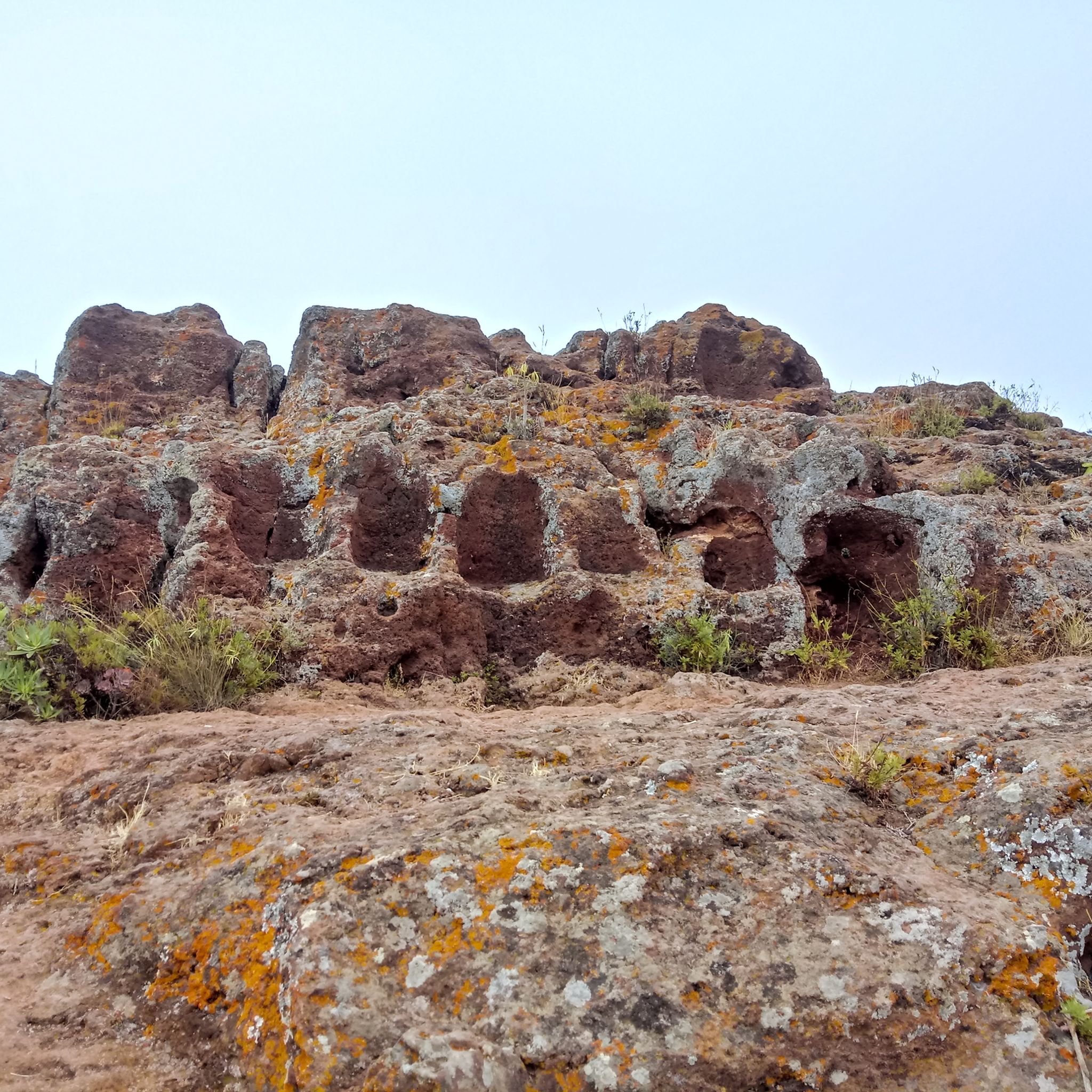
Hiking around Santa María De Guía De Gran Canaria
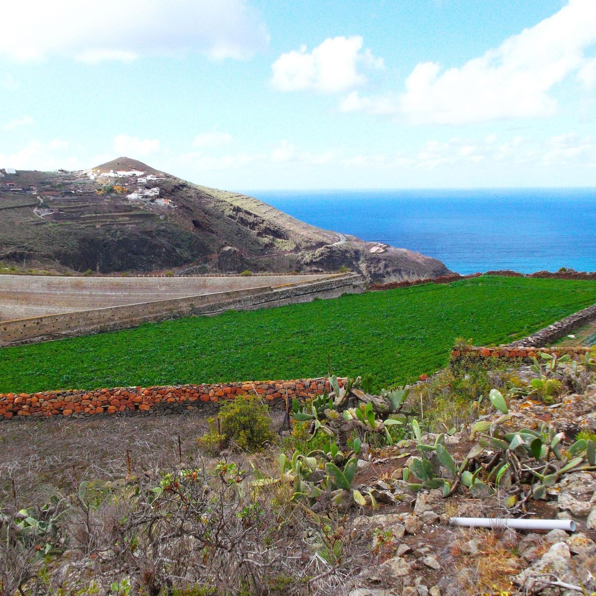
Cycling around Santa María De Guía De Gran Canaria
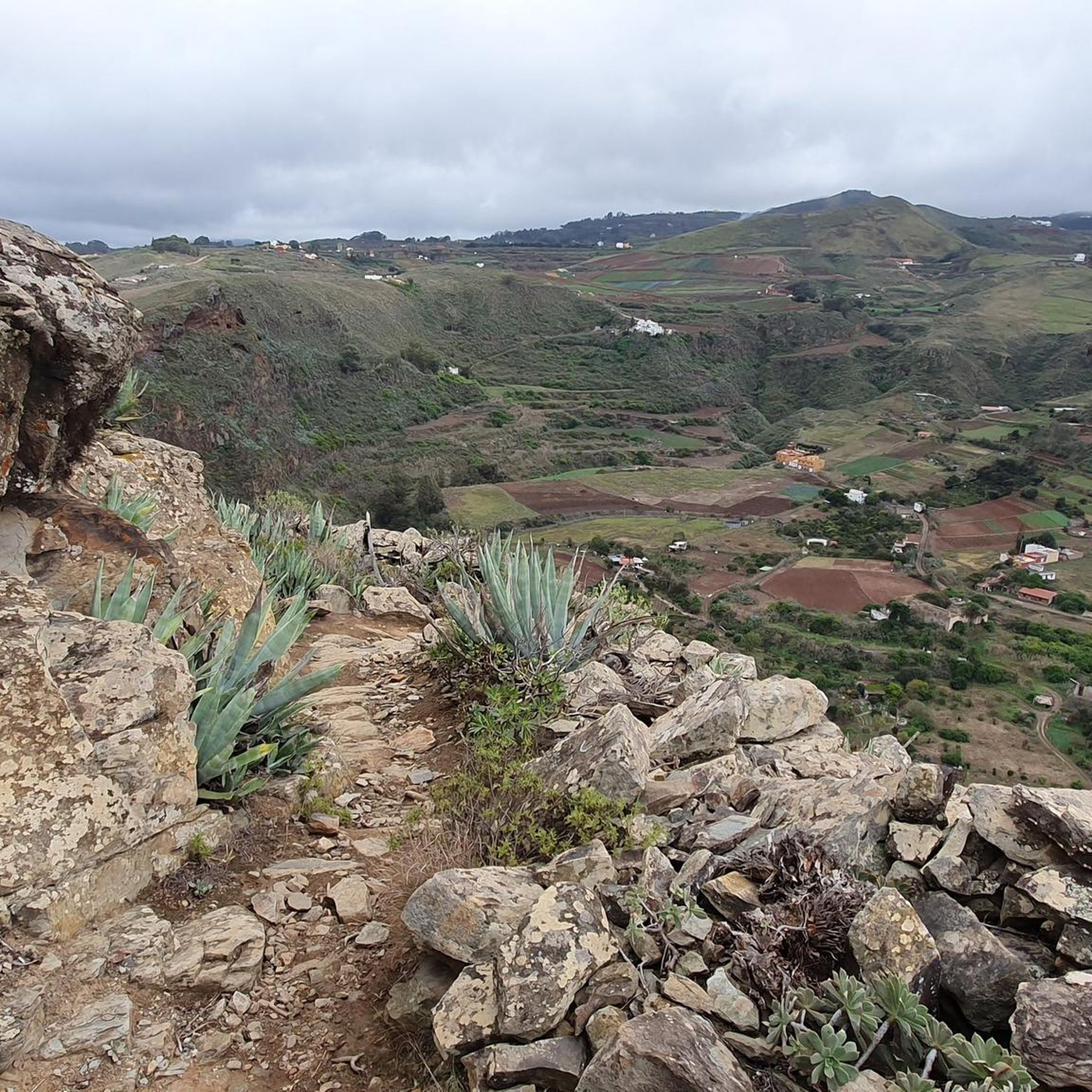
MTB Trails around Santa María De Guía De Gran Canaria
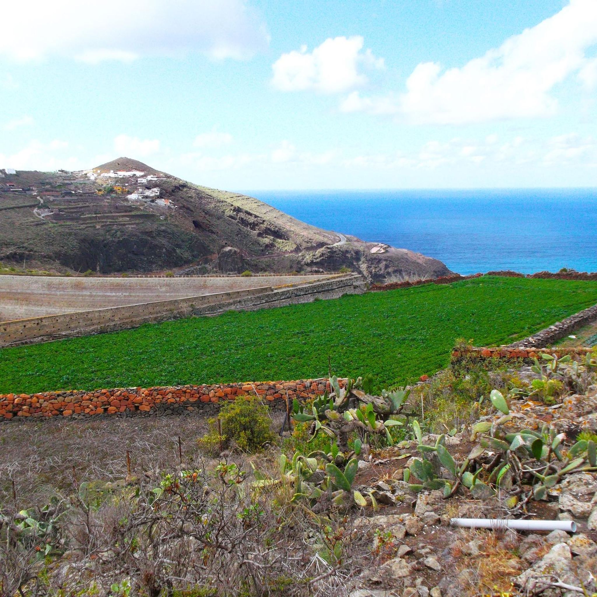
Running Trails around Santa María De Guía De Gran Canaria

Mountain Hikes around Santa María De Guía De Gran Canaria

Gravel biking around Santa María De Guía De Gran Canaria
Tips from the Community

Little traffic, road between ravines without steep slopes, green
0
0

I loved this village . Must visiting !
0
0

Very picturesque mountain village, if you are not in a hurry you should take a coffee break here.
0
0
If you're coming from Santa Maria de Gula de GC, this is a highly recommended descent. Definitely worth planning, as it's a side track and has excellent surface (March 2025)!
0
0
If you come from the west, an extremely great descent on 1a asphalt, then leads to the LOOOONG climb in el PAGADOR
0
0

I already mentioned it on the cycling site. Seeing the photos, I wanted to go, but I was actually expecting something else. A more isolated area, or I don't know, remote and all that. It's nice, though. A little higher up, there's a little spot to sit on and all that. But it's dirt, so I brought a towel.
0
0
The first stretch from Las Arenas is a bit tough if you haven't been hiking for long, so I don't recommend it.
0
0

Really good option with beautiful views very early along the climb. That is only one short stretch (maybe 800m) which is on a larger road, but there is sufficient space for cyclists too.
0
0
Frequently Asked Questions
How many road cycling routes are available around Santa María De Guía De Gran Canaria?
There are over 90 road cycling routes around Santa María De Guía De Gran Canaria, offering a wide range of options for different skill levels and preferences.
What is the best time of year for road cycling in Santa María De Guía De Gran Canaria?
Santa María De Guía De Gran Canaria offers excellent road cycling conditions year-round, thanks to its mild climate. Winter months are particularly popular for cyclists escaping colder climates, while spring and autumn provide pleasant temperatures and less crowded roads. Summers can be warm, especially at lower elevations, so early morning rides are recommended.
Are there easy road cycling routes suitable for beginners in the area?
Yes, there are several easier road cycling routes. While the region is known for its challenging terrain, you can find routes with less elevation gain. For instance, there are 4 easy routes available, perfect for those looking for a more relaxed ride or just starting out.
Where can I find challenging road cycling routes with significant climbs?
Santa María De Guía De Gran Canaria is renowned for its demanding climbs. There are 45 difficult routes, many of which feature significant elevation gains and test even experienced riders. Routes like Tejeda – Barranco de Moya loop from Moya offer nearly 2,000 meters of ascent over 63 kilometers.
Are there any long-distance road cycling trails around Santa María De Guía De Gran Canaria?
Yes, the region offers several long-distance routes for endurance cyclists. For example, the Artenara Village – GC-811 Scenic Road loop from Reserva Natural Integral de Barranco Oscuro is a challenging 68.5 km route, while the Limon y Miel – Decorative Street Lamp loop from Santa María de Guía de Gran Canaria covers over 51 km.
What kind of scenery can I expect on road cycling routes in this region?
The scenery is incredibly diverse, ranging from dramatic volcanic landscapes and deep ravines to lush forested areas and coastal stretches. Many routes offer panoramic viewpoints, showcasing the island's unique geological features and the Atlantic Ocean. You'll encounter a mix of winding mountain roads and open stretches.
Are there circular road cycling routes available?
Yes, many of the road cycling routes around Santa María De Guía De Gran Canaria are designed as loops, allowing you to start and finish in the same location. Examples include the popular Fontanales and Los Tilos de Moya Loop and the Cenobio Valcón Viewpoint – Cenobio de Valerón loop from Santa María de Guía de Gran Canaria.
What do other road cyclists say about the routes in Santa María De Guía De Gran Canaria?
The road cycling routes in Santa María De Guía De Gran Canaria are highly rated by the komoot community, with an average score of 4.5 stars from over 120 reviews. Cyclists often praise the challenging climbs, stunning scenery, and the variety of terrain available, making it a top destination for road biking.
Are there any notable natural attractions or landmarks along the road cycling routes?
Yes, the region is rich in natural beauty. Depending on your chosen route, you might pass by impressive gorges such as Azuaje Gorge or the Barranco de la Virgen (Virgin Gorge). Some routes also offer views of serene lakes like Los Hornos Dam or even waterfalls like El Charco de la Paloma.
Is Santa María De Guía De Gran Canaria suitable for family-friendly road cycling?
While many routes feature significant elevation changes, families with older children or those looking for less strenuous rides can find suitable options among the 4 easy-rated routes. It's advisable to check the route profiles for elevation and distance to ensure it matches your family's ability level.
What are the typical weather conditions for cycling in Santa María De Guía De Gran Canaria?
The weather is generally mild and sunny, characteristic of the Canary Islands. Coastal areas are warmer, while higher elevations can be cooler and more prone to cloud cover or occasional rain, especially in winter. Always check the local forecast for the specific elevation of your chosen route before heading out, and be prepared for potential wind.
Are there places to stop for refreshments or cafes along the road cycling routes?
Many villages and towns along the routes, such as Fontanales or Moya, offer cafes and restaurants where cyclists can stop for refreshments. It's a good idea to plan your route to include these stops, especially on longer rides, to refuel and enjoy local hospitality.
Most popular routes around Santa María De Guía De Gran Canaria
Most popular attractions around Santa María De Guía De Gran Canaria

Get inspired with the komoot mobile app


Explore more
Browse the best Road cycling routes in other regions.
