Comunidad de Quintanilla del Agua y Tordueles y Puentedura
Comunidad de Quintanilla del Agua y Tordueles y Puentedura
Top 5 Natural Monuments around Comunidad de Quintanilla del Agua y Tordueles y Puentedura
Best natural monuments around Comunidad de Quintanilla del Agua y Tordueles y Puentedura are found within a region characterized by its natural environment. The area is situated in the Arlanza region of Burgos, featuring picturesque landscapes and ecological value. This includes the Arlanza River with its riverside forests, cultivated fields, and ancient holm oak groves. The natural setting supports diverse wildlife, offering opportunities for observation.
Best natural monuments around Comunidad de Quintanilla del Agua y Tordueles y Puentedura
- The most popular natural monuments is Alto de Peña Alta (1078 m), a mountain pass located within the Sabinares de Arlanza - La Yecla natural park. From its 1070 meters above sea level, visitors can view the peaks on the horizon and a Mediterranean landscape.
- Another must-see spot is Dolmen of Cubillejo de Lara, a historical site and funerary megalithic monument. This corridor tomb is approximately 5,000 years old and features a circular chamber and a wide corridor.
- Visitors also love Castillejo, a summit with panoramic views. The peak is named for its tower shape, offering views of the Sierra del Mencilla to the North and the Sierra de Cervera to the South.
- Comunidad de Quintanilla del Agua y Tordueles y Puentedura is known for its summits, viewpoints, and historical sites. The region offers a variety of natural monuments to see and explore, including gorges and forests.
- The natural monuments around Comunidad de Quintanilla del Agua y Tordueles y Puentedura are appreciated by the komoot community. These locations have received 12 upvotes and feature 5 photos from visitors.
Last updated: July 15, 2026
Alto de Peña Alta (1078 m)
Highlight • Mountain Pass
Translated by Google •
Tip by

Castillejo
Highlight • Summit
Translated by Google •
Tip by

Sign up now to discover places like this
Get recommendations on the best single tracks, peaks, & plenty of other exciting outdoor places.
Sign up for free
Dolmen of Cubillejo de Lara
Highlight • Historical Site
Translated by Google •
Tip by
Peñas del Tuero Viewpoint
Highlight • Viewpoint
Translated by Google •
Tip by

La Muela
Highlight • Summit
Translated by Google •
Tip by
Start today with a free account
Your next adventure awaits.
Login or Signup
Popular around Comunidad de Quintanilla del Agua y Tordueles y Puentedura

Hiking around Comunidad de Quintanilla del Agua y Tordueles y Puentedura

MTB Trails around Comunidad de Quintanilla del Agua y Tordueles y Puentedura
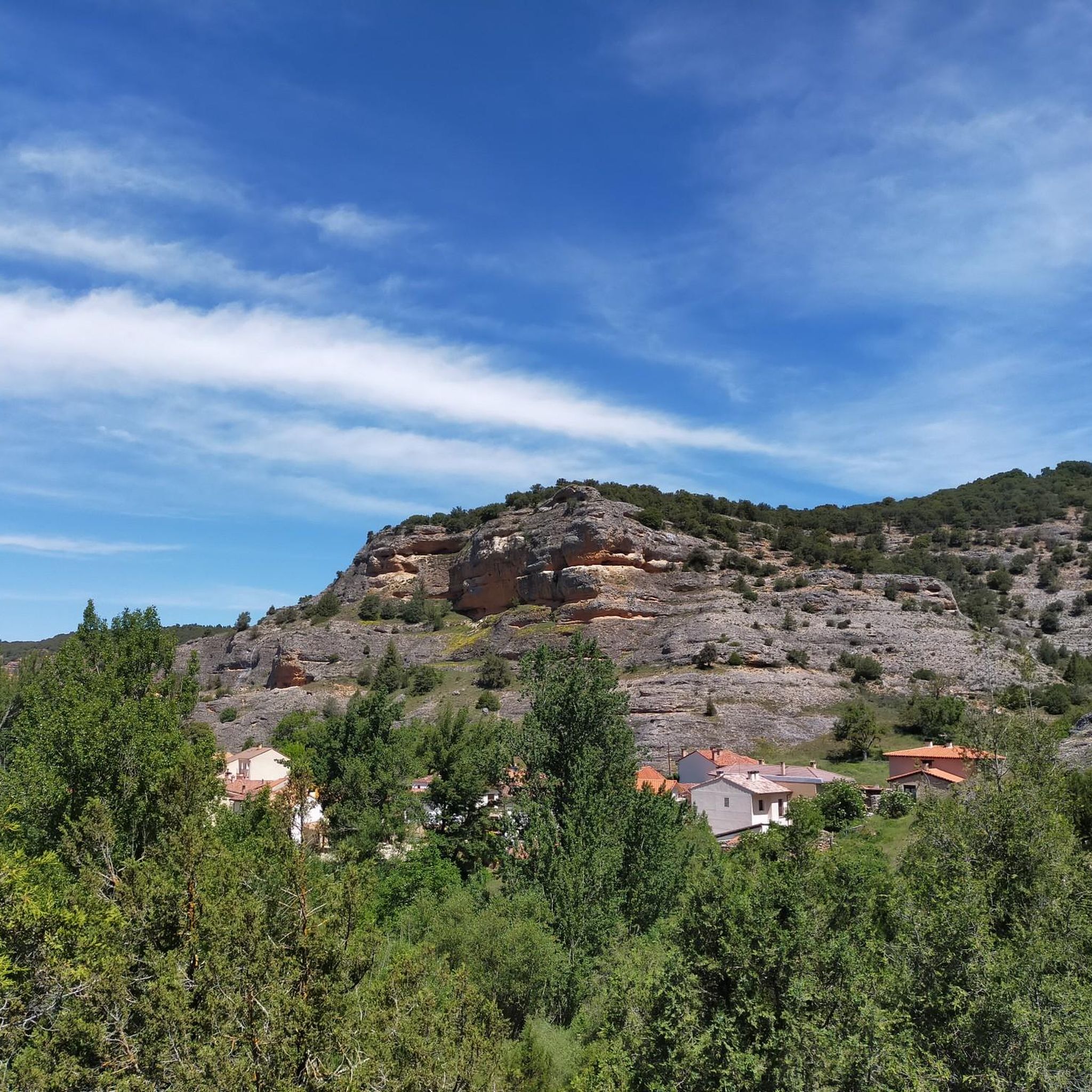
Cycling around Comunidad de Quintanilla del Agua y Tordueles y Puentedura
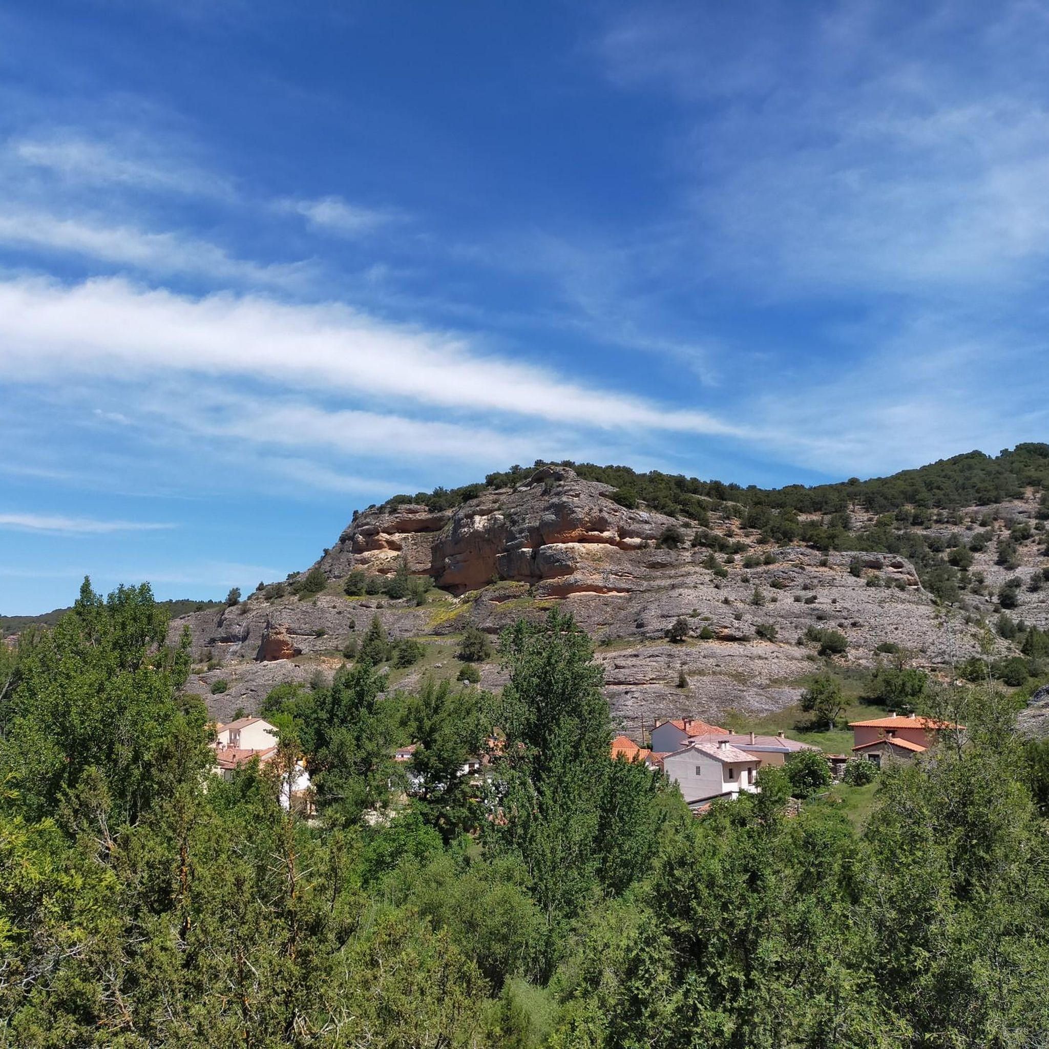
Road Cycling Routes around Comunidad de Quintanilla del Agua y Tordueles y Puentedura
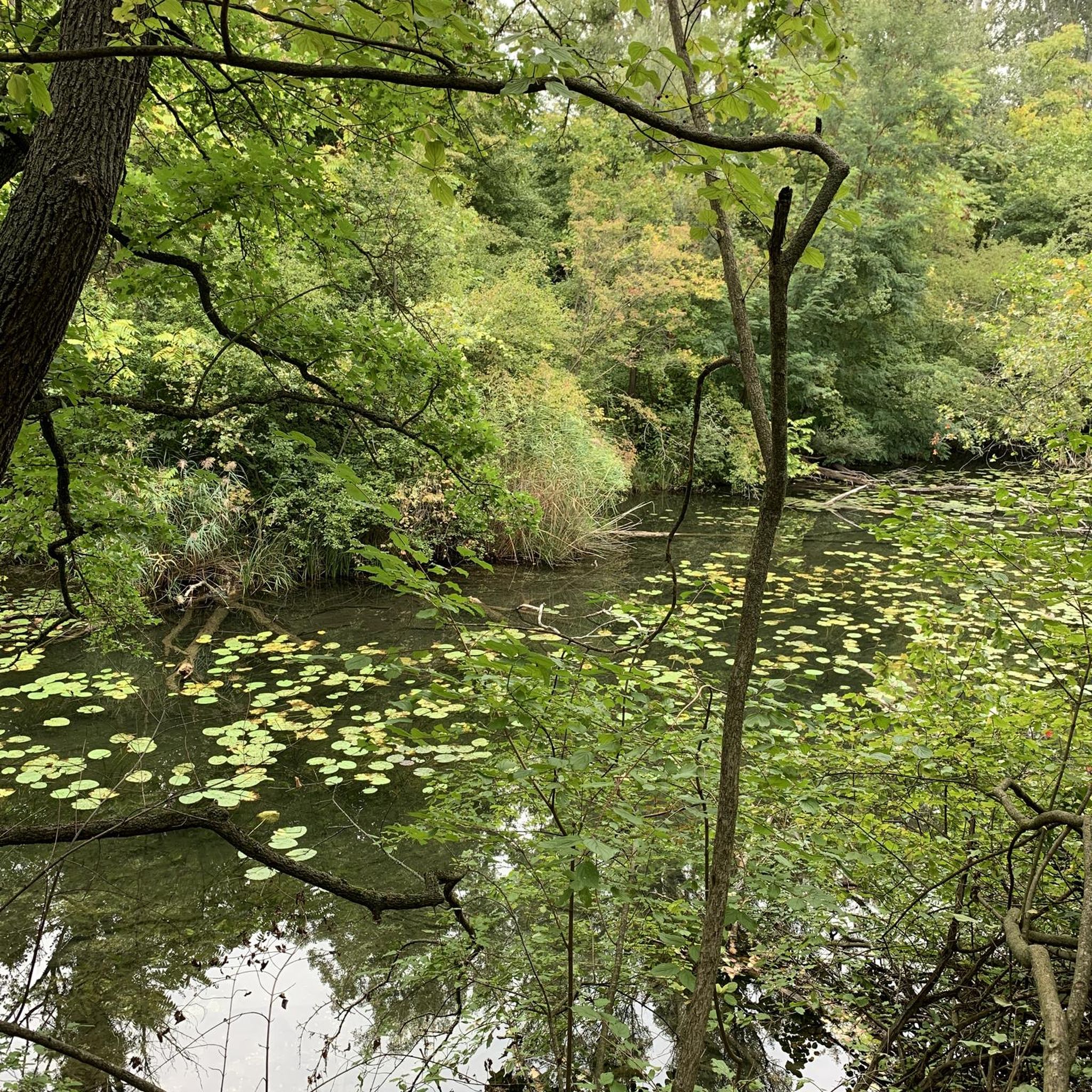
Running Trails around Comunidad de Quintanilla del Agua y Tordueles y Puentedura
Tips from the Community

El Castillejo (1,347 m) is a twin peak located in the Sierra de las Mamblas, 5 km north of the town of Covarrubias (Burgos). It owes its name to its natural defensive rock formations. On its summit, an artificial cavity is preserved that served as a strategic watchtower. The mountain offers a spectacular panoramic view of the Arlanza valley and the Sierra de la Demanda. At its foothills lies the Hermitage of Our Lady of Mamblas (Ermita de Nuestra Señora de Mamblas). The terrain features rocky barriers that served as a defensive settlement in antiquity.
0
0

Spectacular area for hiking routes
0
0
The Cubillejo/Mazariegos dolmen is considered the prototype of the megalithic passage tomb and preserves, on one of the large stone blocks that form its structure, a series of interesting rock carvings.
0
0


The climb can be a bit complicated, since there is no marked path, but you can always guide yourself by looking at the top. The views from the top are spectacular. To the east, the Sierra de Gayúbar, the Peña de Carazo and the Fort San Carlos; a little further, the Sierra de la Demanda and the Campiña as the most prominent peak. To the north, the Sierra del Mencilla, the Pico Trigaza, and the Sierra de Peñalara.
1
0
The peak bears this name thanks to its tower shape. The views are spectacular, highlighting the Sierra del Mencilla to the North, the Sierra de Cervera to the South, and that of its partner, the Muela de las Mamblas to the East.
2
0

Here you can ride a bike, it goes up and down. Not many cars drive here.
5
2
Frequently Asked Questions
What are the most notable natural features to explore in Comunidad de Quintanilla del Agua y Tordueles y Puentedura?
The region, while not having formally designated natural monuments, offers several significant natural attractions. You can explore the expansive views from Alto de Peña Alta (1078 m) within the Sabinares de Arlanza - La Yecla natural park, or discover the stunning panoramas from the summit of Castillejo. The Peñas del Tuero Viewpoint also provides spectacular views of the Arlanza Valley and opportunities for griffon vulture spotting.
Are there any historical or cultural sites among the natural attractions?
Yes, the region also features historical sites. A prominent example is the Dolmen of Cubillejo de Lara. This funerary megalithic monument is approximately 5,000 years old and is recognized as an Asset of Cultural Interest, featuring a circular chamber and a long corridor.
What kind of wildlife can I expect to see in the natural areas?
The natural environment around Comunidad de Quintanilla del Agua y Tordueles y Puentedura supports diverse wildlife. You might spot roe deer, wild boar, and various bird species, including griffon vultures, especially near areas like the Peñas del Tuero Viewpoint.
What outdoor activities are popular near these natural monuments?
The area is excellent for various outdoor activities. You can find numerous routes for cycling, running, and mountain biking. For detailed information and route suggestions, explore the dedicated guides for Cycling, Running, and MTB Trails in the region.
Are there challenging hikes or summits for experienced adventurers?
Yes, for those seeking a challenge, the summit of La Muela offers spectacular views, though the climb can be complicated as there isn't a marked path. It's recommended for experienced hikers comfortable with navigating off-trail.
What is the best time of year to visit the natural areas?
The region's natural beauty can be enjoyed throughout the year. Spring and autumn offer pleasant temperatures for hiking and exploring, with vibrant flora or colorful foliage. Summer is ideal for longer days and outdoor activities, while winter can provide a serene, quiet experience, though some higher elevations might have colder conditions.
Are there any family-friendly natural spots or activities?
The riverside forests along the Arlanza River near Quintanilla del Agua offer a tranquil setting for walks suitable for families. Exploring the various paths and trails in the countryside, and discovering traditional mills, can also be an enjoyable family activity. The views from Alto de Peña Alta (1078 m) are accessible and rewarding for all ages.
Where can I find trails for hiking or walking?
The area boasts numerous paths and trails, including the 130-kilometer "Ruta de la Ribera del Arlanza." Many natural attractions, such as the Alto de Peña Alta (1078 m) and the Mataviejas Gorge, are popular starting points for hikes. You can find more specific hiking routes and information in the Running Trails guide, which often includes walking-friendly paths.
What kind of landscapes define the region?
The landscape is characterized by picturesque scenery, including the Arlanza River with its lush riverside forests, extensive cultivated fields, and ancient holm oak groves. You'll also find elevated viewpoints, gorges, and summits offering diverse natural beauty.
Are there opportunities for scenic drives or cycling routes?
Yes, the region is well-suited for scenic drives and cycling. The roads leading to viewpoints like Alto de Peña Alta (1078 m) offer beautiful vistas. For cyclists, there are numerous routes, including those within the Sabinares de Arlanza - La Yecla Natural Park. Check the Cycling guide for detailed routes.
What makes the Sabinares de Arlanza - La Yecla Natural Park special?
The Sabinares de Arlanza - La Yecla Natural Park is a significant natural area known for its unique juniper forests (sabinares) and ecological value. It encompasses diverse landscapes, including the Mataviejas Gorge and elevated points like Alto de Peña Alta (1078 m), offering rich biodiversity and stunning views.
Most popular routes around Comunidad de Quintanilla del Agua y Tordueles y Puentedura
Most popular attractions around Comunidad de Quintanilla del Agua y Tordueles y Puentedura

Get inspired with the komoot mobile app


Explore more
Extend your search for the best caves by checking out these guides of the top ones around Comunidad de Quintanilla del Agua y Tordueles y Puentedura:
