Comunidad de Quintanilla del Agua y Tordueles y Puentedura
Comunidad de Quintanilla del Agua y Tordueles y Puentedura
The best running trails around Comunidad de Quintanilla del Agua y Tordueles y Puentedura
8
runners
5
runs
Jogging around Comunidad de Quintanilla del Agua y Tordueles y Puentedura offers diverse landscapes within the Arlanza river basin, providing scenic riverside paths. The region is characterized by its Mediterranean natural environment, including areas near the Sabinares de Arlanza - La Yecla Natural Park. Runners can experience varied terrain, from valley floors to elevated viewpoints, alongside unique cultural attractions like Territorio Artlanza. This combination makes for engaging running routes that blend physical activity with exploration.
Best jogging routes around Comunidad…
Last updated: July 12, 2026
Hard run. Very good fitness required. Mostly accessible paths. Some sure footedness required.
13.2km
01:39
260m
260m
Jog the San Clemente - Mecerreyes Loop, a moderate 8.2-mile (13.2 km) route in Spain with 867 feet (264 metres) of elevation gain.

Sign up for free
4
runners
Hard run. Very good fitness required. Sure-footedness, sturdy shoes and alpine experience required.
2
runners
6.97km
00:47
110m
110m
Moderate run. Good fitness required. Mostly paved surfaces. Suitable for all skill levels.
2
runners
12.3km
01:30
340m
340m
Hard run. Very good fitness required. Sure-footedness, sturdy shoes and alpine experience required.
Our route recommendations are based on thousands of hikes, rides, and runs completed by other people on komoot.
Start today with a free account
Your next adventure awaits.
Login or Signup
Popular around Comunidad de Quintanilla del Agua y Tordueles y Puentedura

Hiking around Comunidad de Quintanilla del Agua y Tordueles y Puentedura

MTB Trails around Comunidad de Quintanilla del Agua y Tordueles y Puentedura
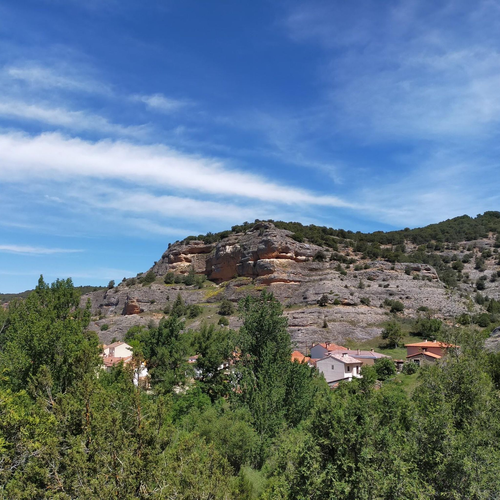
Cycling around Comunidad de Quintanilla del Agua y Tordueles y Puentedura
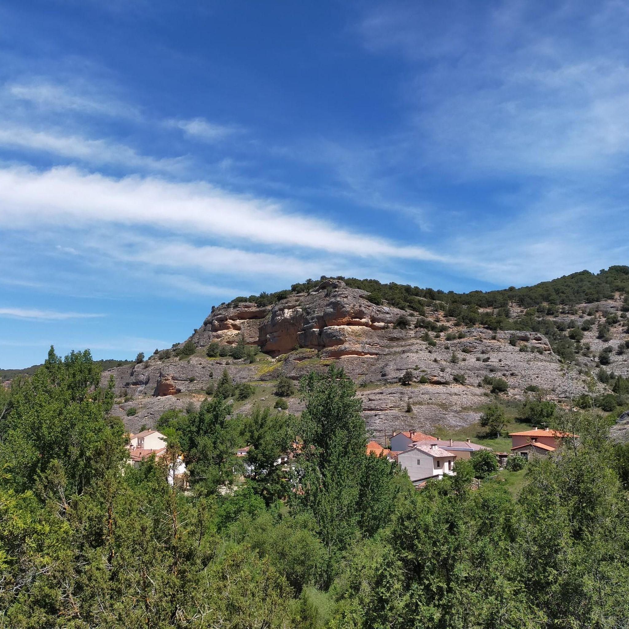
Road Cycling Routes around Comunidad de Quintanilla del Agua y Tordueles y Puentedura
Tips from the Community

El Castillejo (1,347 m) is a twin peak located in the Sierra de las Mamblas, 5 km north of the town of Covarrubias (Burgos). It owes its name to its natural defensive rock formations. On its summit, an artificial cavity is preserved that served as a strategic watchtower. The mountain offers a spectacular panoramic view of the Arlanza valley and the Sierra de la Demanda. At its foothills lies the Hermitage of Our Lady of Mamblas (Ermita de Nuestra Señora de Mamblas). The terrain features rocky barriers that served as a defensive settlement in antiquity.
0
0

Spectacular area for hiking routes
0
0
Ideal places for mountain biking and hiking routes
0
0

This beautiful town is a tourist destination where we find shops, accommodation and fountains.
0
0
With this powerful name, the town has a fountain where we can supply ourselves.
0
0
Frequently Asked Questions
How many running routes are available in Comunidad de Quintanilla del Agua y Tordueles y Puentedura?
There are several dedicated running routes in the Comunidad de Quintanilla del Agua y Tordueles y Puentedura area. Our guide features 5 distinct trails, offering a variety of experiences for runners.
Are there any beginner-friendly jogging routes in the region?
While many routes offer a good challenge, the area primarily features moderate to difficult trails. For those looking for a slightly less strenuous option, the San Clemente - Mecerreyes Loop is a moderate 13.2 km path that provides varied scenery without extreme difficulty.
What are some challenging running trails for experienced runners?
Experienced runners will find several challenging options. The Historic Center of Covarrubias – Casa de Doña Sancha loop from Covarrubias is a difficult 23.7 km trail with significant elevation changes. Another demanding route is the Camino del Cid from Covarrubias — circular through the Sabinares de Arlanza Natural Park - La Yecla, spanning 16.3 km through diverse terrain.
Are there any circular running routes in Comunidad de Quintanilla del Agua y Tordueles y Puentedura?
Yes, many of the running routes in the area are circular, allowing you to start and finish at the same point. For example, the Camino del Cid loop from Barrio del Arrabal is a moderate 8.2 km circular route, perfect for a focused run.
What kind of natural landscapes can I expect to see while running here?
The region is characterized by the picturesque Arlanza river valley, offering scenic riverside paths. You'll also encounter the beautiful Mediterranean natural environment, with varied flora and potentially undulating terrain, especially near the Sabinares de Arlanza - La Yecla Natural Park. Elevated viewpoints, like those near Alto de Peña Alta (1078 m), provide extensive views.
Are there any running routes that pass by interesting historical sites or attractions?
Absolutely! The area blends natural beauty with unique cultural elements. You can run through or near the distinctive Territorio Artlanza, a large medieval-style village and ethnographic museum in Quintanilla del Agua. Additionally, routes like the Historic Center of Covarrubias – Casa de Doña Sancha loop from Covarrubias will take you past landmarks such as the Historic Center of Covarrubias and Casa de Doña Sancha.
Can I find running routes with good viewpoints in the area?
Yes, the region offers several opportunities for scenic views. The proximity to the Sabinares de Arlanza - La Yecla Natural Park means you can find elevated points like Alto de Peña Alta, which provides extensive views of the Mediterranean landscape. The Peñas del Tuero Viewpoint is another excellent spot to take in the panoramic scenery during your run.
Are there any shorter running routes, perhaps around 5k?
While most routes are longer, the Camino del Cid loop from Barrio del Arrabal is approximately 8.2 km, offering a moderate option that can be adapted for a slightly shorter run if you choose a partial loop. It's one of the more accessible distances in the guide.
What do other runners enjoy most about jogging in Comunidad de Quintanilla del Agua y Tordueles y Puentedura?
Runners often praise the diverse landscapes, from serene riverside paths along the Arlanza River to the varied terrain within the Sabinares de Arlanza - La Yecla Natural Park. The unique cultural backdrop provided by attractions like Territorio Artlanza also adds an enriching dimension to the physical activity, making for engaging and memorable runs.
Are there any running routes suitable for families?
For families looking for a moderate activity, the San Clemente - Mecerreyes Loop, at 13.2 km, offers varied scenery through local villages and is generally considered moderate. It provides a good balance of distance and manageable terrain for active families.
Where can I find parking for these running trails?
Many routes in the region start from villages or established points like camping sites, where parking is typically available. For instance, the Running loop from Camping de Covarrubias suggests a starting point where parking facilities would likely be present, making it convenient for runners arriving by car.
What is the best time of year to go running in this region?
The Mediterranean climate suggests pleasant conditions for running during spring and autumn, when temperatures are milder. Summer mornings and evenings can also be ideal, allowing you to enjoy the natural beauty without the peak heat. Winter runs are possible, but it's always advisable to check local weather conditions.
Most popular routes around Comunidad de Quintanilla del Agua y Tordueles y Puentedura
Most popular attractions around Comunidad de Quintanilla del Agua y Tordueles y Puentedura

Get inspired with the komoot mobile app


Explore more
Browse the best Running Trails & Routes in other regions.
