The best walks and hikes around Comunidad de Quintanilla del Agua y Tordueles y Puentedura
4.5
(24)
147
hikers
28
hikes
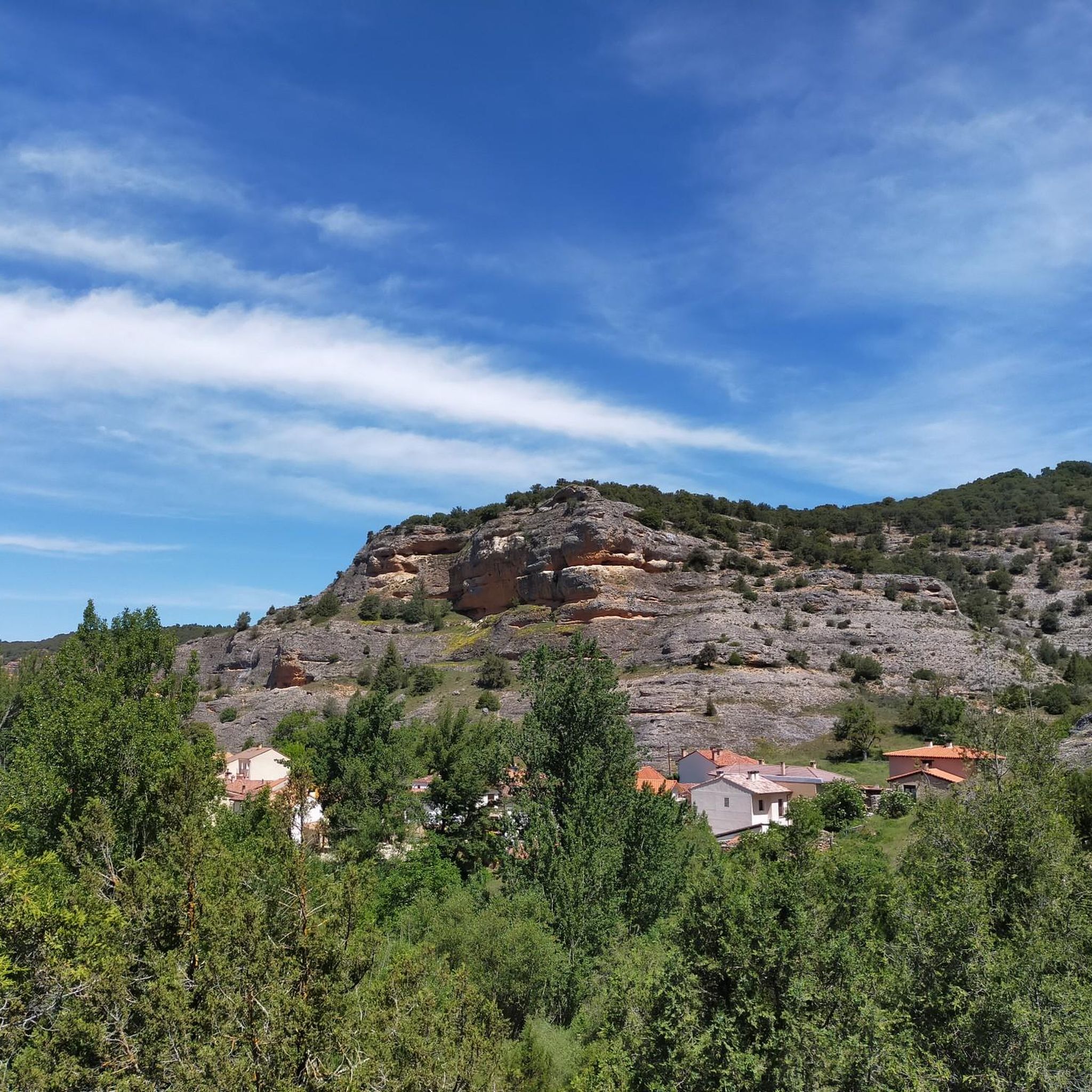
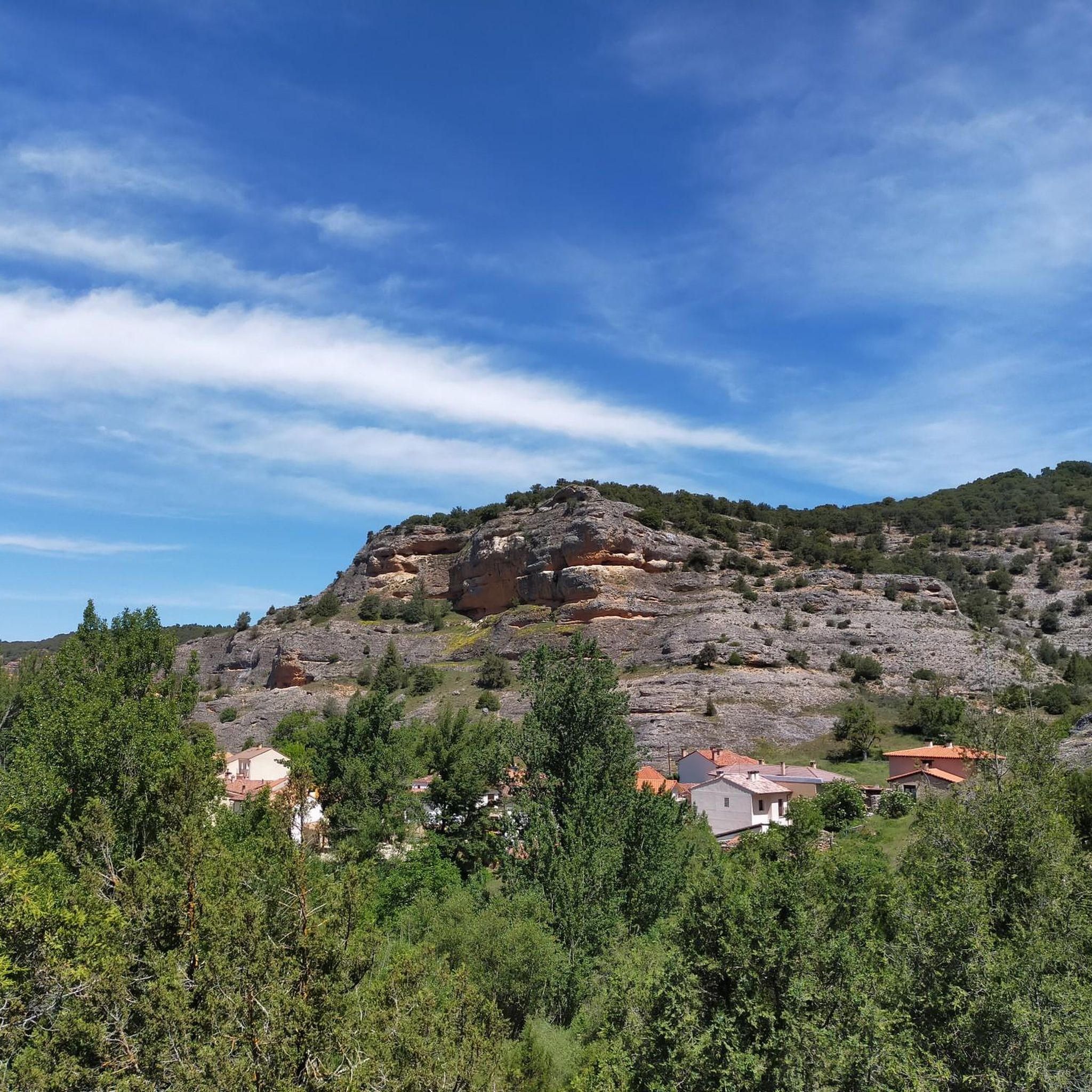
Hiking trails around Comunidad de Quintanilla del Agua y Tordueles y Puentedura traverse a landscape characterized by riverine environments and diverse geological formations within the province of Burgos. The region features impressive rocky formations, including the Desfiladero del Río Mataviejas, where the Mataviejas River carves through calcareous conglomerates and Cretaceous limestones. The wider Arlanza river basin offers green fields, clear streams, and significant juniper forests, providing varied terrain for outdoor activities.
Best hiking trails around Comunidad de Quintanilla del Agua…
Last updated: July 12, 2026
4.7
(3)
30
hikers
5.59km
01:28
50m
50m
Hike the easy 3.5-mile (5.6 km) Castroceniza from Ura through the Mataviejas Gorge, featuring dramatic rock formations and birdwatching.
5.0
(1)
14
hikers
14.3km
04:38
640m
640m
Moderate hike. Good fitness required. Mostly accessible paths. Sure-footedness required.

Sign up for free
6
hikers
10.4km
02:58
230m
230m
Hike the moderate 6.4-mile (10.4 km) Castroceniza from Ura circular route through Desfiladero de Mataviejas, featuring gorges and vultures.
4.3
(3)
6
hikers
6.56km
01:48
110m
110m
Hike the 4.1-mile Route Museo del Carbón circular from Mecerreyes, a moderate trail featuring forests, the Charcoal Museum, and views of Mue
4.5
(2)
2
hikers
8.06km
02:15
150m
150m
Hike the moderate 5.0-mile Sendero del Montecillo (PRC-BU 130) circular route from Puentedura, exploring a mosaic landscape.
Get access to more routes and recommendations from other explorers.
Sign up for free
Already have an account?
Our route recommendations are based on thousands of hikes, rides, and runs completed by other people on komoot.
Start today with a free account
Your next adventure awaits.
Login or Signup
Popular around Comunidad de Quintanilla del Agua y Tordueles y Puentedura

MTB Trails around Comunidad de Quintanilla del Agua y Tordueles y Puentedura
Cycling around Comunidad de Quintanilla del Agua y Tordueles y Puentedura
Road Cycling Routes around Comunidad de Quintanilla del Agua y Tordueles y Puentedura
Running Trails around Comunidad de Quintanilla del Agua y Tordueles y Puentedura
Tips from the Community

El Castillejo (1,347 m) is a twin peak located in the Sierra de las Mamblas, 5 km north of the town of Covarrubias (Burgos). It owes its name to its natural defensive rock formations. On its summit, an artificial cavity is preserved that served as a strategic watchtower. The mountain offers a spectacular panoramic view of the Arlanza valley and the Sierra de la Demanda. At its foothills lies the Hermitage of Our Lady of Mamblas (Ermita de Nuestra Señora de Mamblas). The terrain features rocky barriers that served as a defensive settlement in antiquity.
0
0

Ideal places for mountain biking and hiking routes
0
0
Ideal places for mountain biking and hiking routes
0
0

This beautiful town is a tourist destination where we find shops, accommodation and fountains.
0
0
Powerful statue dedicated to El Cid, the largest on the entire route
2
0

beautiful town with half-timbered houses, monastery and city gate
0
0
Frequently Asked Questions
How many hiking trails are available in Comunidad de Quintanilla del Agua y Tordueles y Puentedura?
There are over 25 hiking trails in the Comunidad de Quintanilla del Agua y Tordueles y Puentedura region. These routes cater to various skill levels, including 6 easy, 18 moderate, and 2 difficult options.
What kind of landscapes can I expect to see while hiking in this region?
The region is characterized by diverse landscapes, including picturesque riverine environments like the Mataviejas Gorge, green fields along the Arlanza River basin, and significant juniper forests. You'll encounter impressive rocky formations, calcareous conglomerates, and Cretaceous limestones, particularly within the gorges.
Are there any easy or family-friendly hiking routes?
Yes, there are several easy routes suitable for families. An excellent option is the Castroceniza from Ura through the Mataviejas Gorge — round trip. This 5.6 km (3.5 miles) trail follows the Mataviejas River and is relatively flat, making it enjoyable for all ages.
Can I find circular hiking routes in the area?
Absolutely. Many routes in the region are circular, offering varied scenery without retracing your steps. For example, the Sendero del Montecillo (PRC-BU 130) — circular desde Puentedura is a moderate 8.1 km (5 miles) loop that provides a comprehensive experience of the local countryside around Puentedura.
What are some notable natural attractions or points of interest along the trails?
The Mataviejas Gorge is a standout natural attraction, offering a serene walk through a narrow, winding rocky passage. You can also find viewpoints like Peñas del Tuero Viewpoint, and summits such as Alto de Peña Alta (1078 m), providing panoramic views.
What is the best time of year to go hiking in Comunidad de Quintanilla del Agua y Tordueles y Puentedura?
The region is enjoyable for hiking throughout much of the year. Spring and autumn offer pleasant temperatures and vibrant natural colors, while summer provides warm, sunny days ideal for riverside walks. Even winter can be beautiful, though some trails might be more challenging depending on conditions.
Are there opportunities for wildlife spotting during hikes?
Yes, the Mataviejas River Gorge is a significant spot for birdwatching, with griffon vultures and Egyptian vultures nesting in the cliffs. The riverside forests also host diverse flora and fauna, making it a great area for nature observation.
What do other hikers say about the trails in this region?
The trails in Comunidad de Quintanilla del Agua y Tordueles y Puentedura are highly rated by the komoot community, with an average score of 4.5 stars from over 20 reviews. Hikers often praise the peaceful natural environment, the well-preserved rural charm, and the impressive geological formations like the Mataviejas Gorge.
Are there any cultural or historical sites to explore near the hiking routes?
Beyond the natural beauty, the area offers cultural insights. You can explore the Historic Center of Covarrubias, visit the Casa de Doña Sancha, or see the Statue of El Cid in Mecerreyes. Additionally, Territorio Artlanza in Quintanilla del Agua is a unique, man-made recreation of a traditional Castilian village.
Are there any moderate difficulty hikes that offer varied terrain?
For a moderate challenge with varied terrain, consider the Sierra de las Mamblas — circular desde Covarrubias. This 14.3 km (8.9 miles) route explores the Sierra de las Mamblas, providing a good workout and diverse scenery.
Can I find routes that combine natural beauty with historical elements?
Yes, the region blends natural beauty with cultural interest. For instance, the Route Museo del Carbón — circular from Mecerreyes is a moderate 6.5 km (4 miles) hike that allows you to experience the natural surroundings while being close to historical points of interest in Mecerreyes.
Are there any longer, more challenging hikes available?
While most routes are easy to moderate, the region does offer some longer options. The Sierra de las Mamblas — circular desde Covarrubias, at 14.3 km, is one of the longer moderate routes. For a slightly shorter but still engaging moderate hike, the Castroceniza from Ura — circular through the Desfiladero de Mataviejas covers 10.4 km through the gorge.
Most popular routes around Comunidad de Quintanilla del Agua y Tordueles y Puentedura
Most popular attractions around Comunidad de Quintanilla del Agua y Tordueles y Puentedura

Get inspired with the komoot mobile app


Explore more
Browse the best Hikes in other regions.
