4.5
(2225)
17,016
riders
1,175
rides
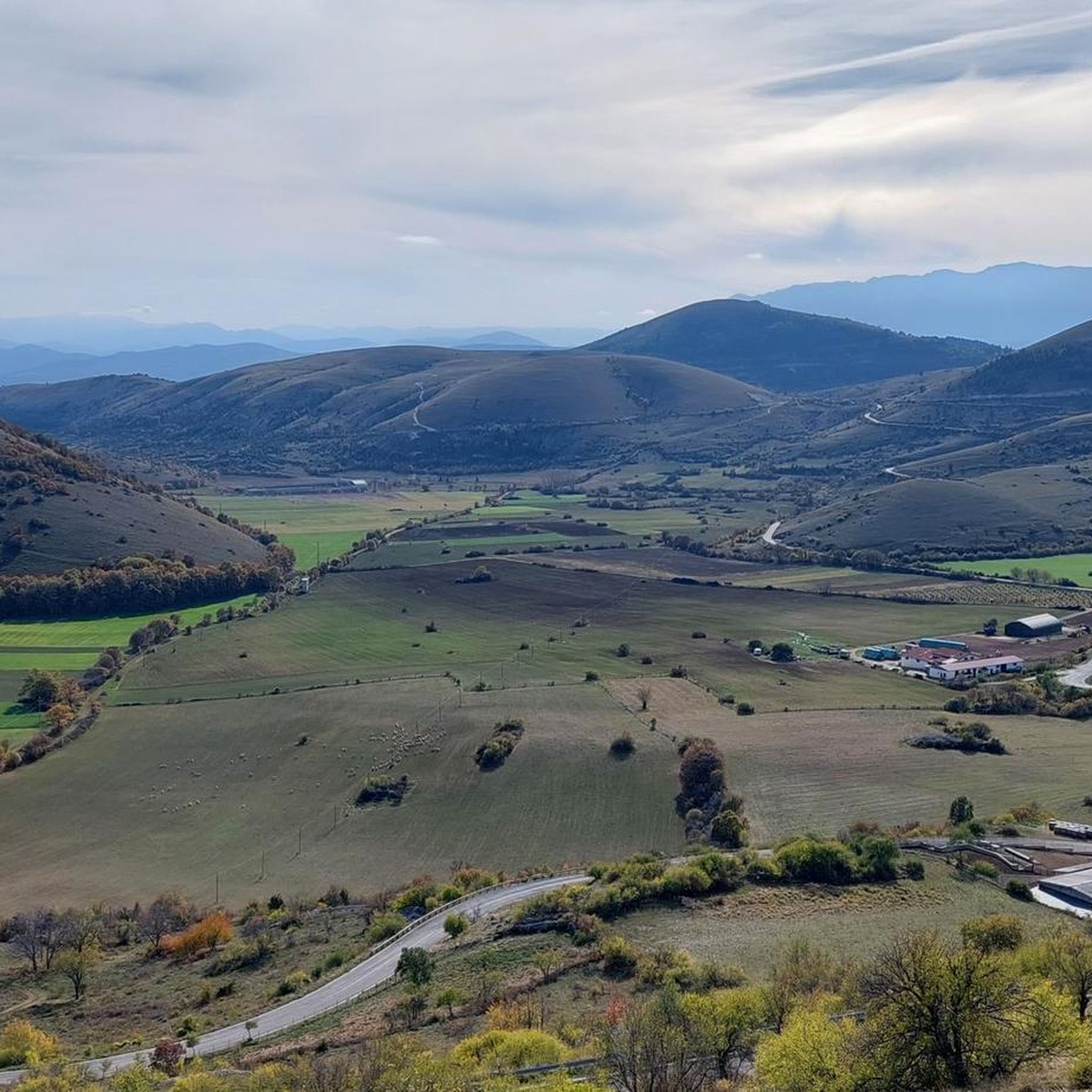
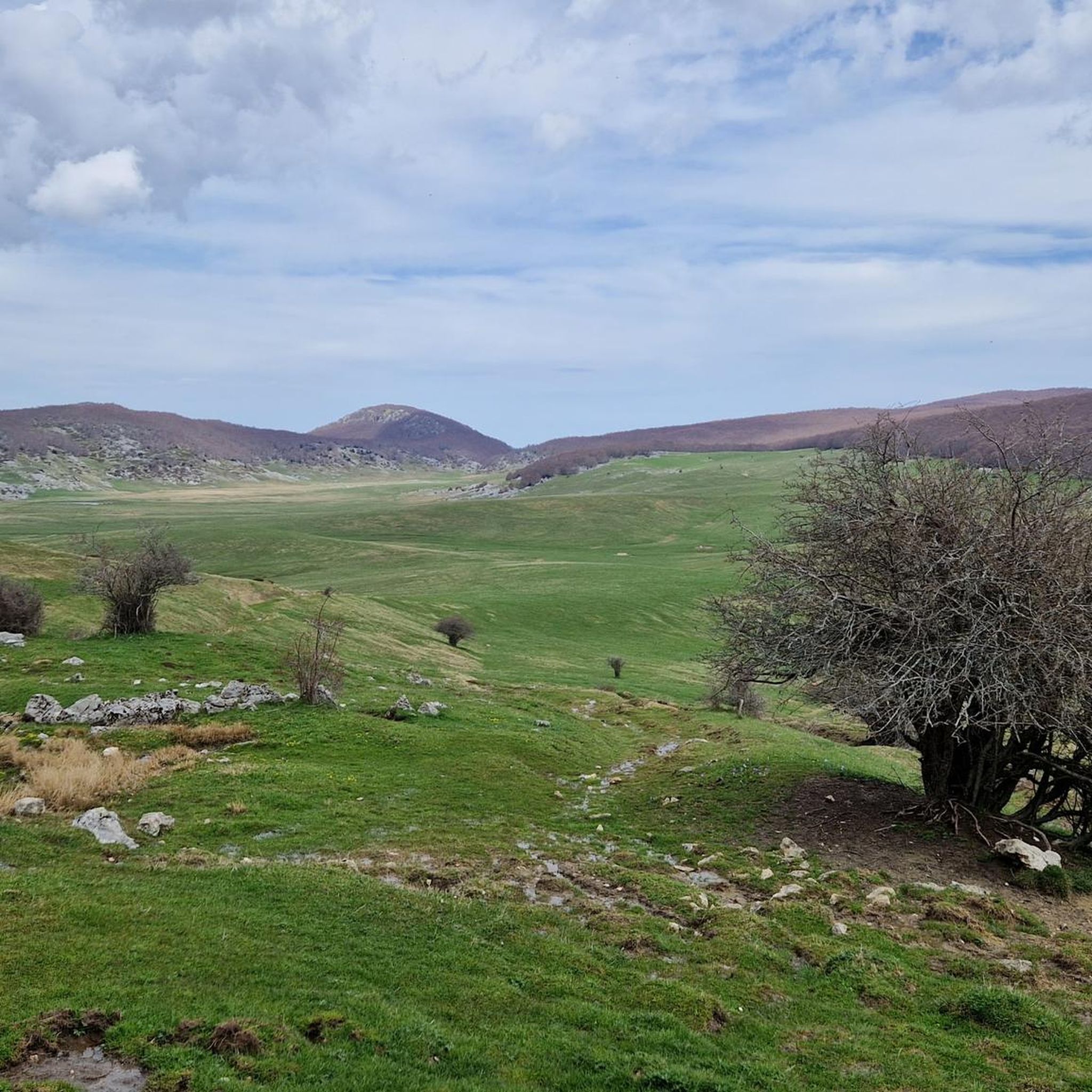
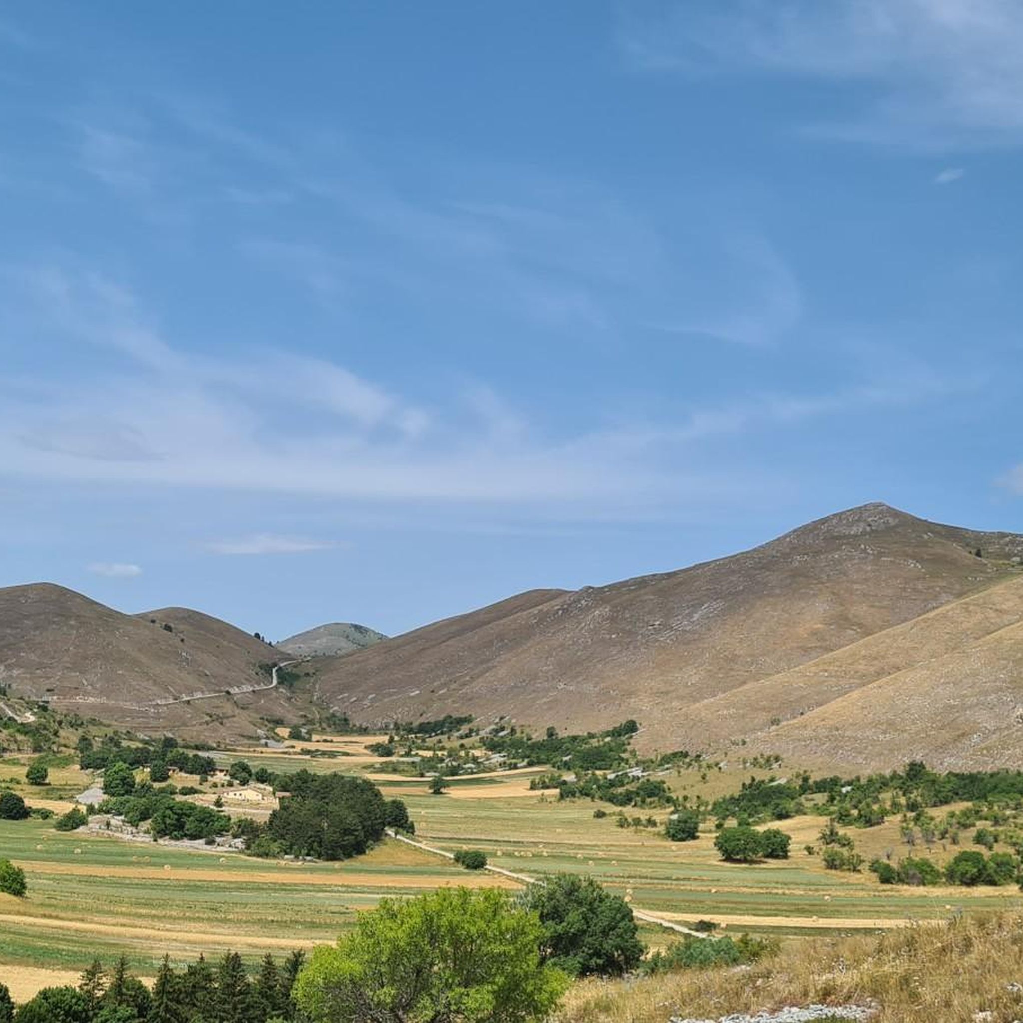
Mountain biking in L'Aquila offers access to diverse terrain within Italy's Abruzzo region, characterized by the Apennine Mountains and the Gran Sasso d'Italia massif. The area features extensive national parks like Gran Sasso e Monti della Laga and Sirente-Velino, providing a backdrop of high-altitude plateaus, deep valleys, and varied landscapes. This mountainous setting ensures a wide range of trails suitable for off-road cycling.
Last updated: May 10, 2026
4.5
(4)
78
riders
43.0km
04:32
1,100m
1,090m
Embark on a challenging mountain biking adventure with the "Campo Imperatore da Santo Stefano di Sessanio - Giro ad anello." This difficult 26.7-mile (43.0 km) loop demands very good fitness and advanced riding skills, taking you through the stunning landscapes of Abruzzo, Italy. You will climb a significant 3598 feet (1096 metres) over approximately 4 hours and 32 minutes, traversing dirt roads, mountain paths, and some singletrack. As you ride, you will experience vast panoramas across the high-altitude Campo Imperatore plateau, often called "Little Tibet," with its endless meadows, grazing animals, and dramatic jagged peaks.
Planning your visit requires you to be prepared for a demanding ride with significant climbs and descents; some sections may even require you to push your bike. The route combines the wilderness of the Gran Sasso National Park with picturesque medieval villages like Santo Stefano di Sessanio, Calascio, and Castel del Monte. While the research does not specify trailhead access or parking details, it is advisable to check local conditions and access points before you go, especially considering the high-altitude terrain.
This trail is considered one of the best mountain biking routes in Santo Stefano di Sessanio and ranks highly in Italy, offering a unique blend of historical charm and wild, untouched natural beauty. The stark beauty of the "Little Tibet" plateau, set against the backdrop of ancient villages and views extending to the Gran Sasso, creates a truly memorable experience. Cycling enthusiasts will also appreciate the route's famous climb, historically associated with Marco Pantani, adding to its appeal.
4.9
(17)
104
riders
31.9km
03:23
940m
940m
The Monte Tranquillo, Opi e Pescasseroli loop offers a challenging mountain biking experience through the Abruzzo, Lazio and Molise National Park. You will ride 19.8 miles (31.9 km) with a significant elevation gain of 3099 feet (945 metres), typically taking about 3 hours and 22 minutes to complete. This difficult route takes you through ancient beech woods, particularly around Macchiarvana and Camporotondo, which are UNESCO World Heritage sites. Expect diverse terrain, from technical singletracks and wider forest paths to dirt roads and some asphalt sections. You'll encounter uneven dirt tracks, mule tracks, and paths with natural obstacles like rock steps or roots, with some steep portions requiring you to push your bike. The ride provides expansive views of the Apennine mountain ranges and valleys, including panoramic vistas of Monte Tranquillo itself and the village of Opi. You will find several panoramic viewpoints along the way.
This mountain biking loop requires very good physical fitness and advanced riding skills. The trail is classified as difficult, featuring substantial elevation gain and technical sections that may correspond to STS S2 or even S3-S6 on the Single Track Scale. Some portions might necessitate dismounting and pushing your bike, especially after Campo Lungo and towards the summit. Plan your visit to allow ample time for these challenging sections.
The entire trail is located within the Abruzzo, Lazio and Molise National Park, one of Italy's oldest and most significant protected areas. A key highlight is the panoramic Sanctuary of Monte Tranquillo, situated at 1597 metres above sea level, offering incredible 360-degree views of the surrounding nature and valleys. The loop takes you through a mix of environments, from charming mountain villages like Pescasseroli and Opi to dense forests and open plains such as Macchiarvana and Camporotondo. This route is a popular choice among local mountain bikers and is highly rated by the Komoot community.

Sign up for free
4.3
(13)
38
riders
26.9km
02:27
580m
580m
Embark on a moderate mountain biking adventure with the SICAI Ciclo: Castel del Monte and Racollo Hut Loop. This 16.7-mile (26.9 km) route takes you through varied terrain, from unpaved roads to singletrack, offering a diverse ride. You'll climb 1899 feet (579 metres) over approximately 2 hours and 26 minutes, passing through the historic Castel del Monte. As you ride, you'll encounter the unique 'little Tibet' landscapes near Racollo Hut and the dramatic Scoppaturo Canyon. The trail provides panoramic views of the Gran Sasso e Monti della Laga National Park.
To prepare for this route, ensure you have good basic fitness and advanced riding technique, as the varied terrain and climbs require it. The starting point is the charming village of Castel del Monte, which is an ideal base for your journey. Make sure your mountain bike is well-suited for mixed surfaces, including dirt roads and singletrack sections. Always check local conditions before you head out.
This route is set within the stunning Parco Nazionale del Gran Sasso e Monti della Laga, a region known for its distinctive natural beauty. The area around Racollo Hut is particularly notable for its unique landscapes, often compared to 'little Tibet'. Castel del Monte itself is recognized as one of Italy's most beautiful villages, adding a cultural highlight to your outdoor experience. The trail offers a rewarding challenge for those seeking both natural beauty and an engaging ride.
4.7
(9)
29
riders
32.6km
03:09
890m
900m
Embark on the Valle del Chiarino and Rifugio Panepucci Loop for a moderate mountain biking adventure through the wild heart of Parco Nazionale del Gran Sasso e Monti della Laga. This route spans 20.3 miles (32.6 km) and challenges you with 2935 feet (894 metres) of elevation gain, typically taking around 3 hours and 8 minutes to complete. You will ride through dense forests, alongside a lively stream, and emerge into open grassy areas where horses and cattle graze freely, offering a true sense of wilderness.
Prepare for demanding sections, including steep climbs on dirt roads and technical descents with loose stones and tight hairpin bends. Some parts of the trail might even require you to carry your bike due to extreme slopes or thick vegetation. Always check local conditions before you head out, as landslides can sometimes impact access to the route.
This loop offers spectacular views, including panoramic vistas from higher elevations that take in peaks like Pizzo Intermesoli and Cefalone. You will also pass by the serene Lago di Provvidenza, adding another scenic highlight to your ride. The natural beauty of the Gran Sasso National Park provides incredible backdrops throughout your journey, making this a memorable experience for any mountain biker.
5.0
(1)
18
riders
46.0km
04:24
1,210m
1,210m
Embark on a difficult mountain biking adventure through the Pagliare di Tione and Fontecchio Loop, a challenging route that takes you deep into the Sirente-Velino Regional Natural Park. This 28.6-mile (46.0 km) loop demands very good physical fitness and advanced riding skills, offering an immersive experience with dramatic scenery. You will climb 3978 feet (1212 metres) over an estimated 4 hours and 23 minutes, passing through expansive valleys and along the beautiful Beech Forest Trail. The diverse terrain features canyons, plateaus, and deep gorges, often described as a 'piece of Dolomites in the center of Italy.' Prepare for a demanding ride with rewarding views.
To begin your journey, head to Rocca di Mezzo, a charming starting point nestled within the natural park. This route is designed for experienced mountain bikers, so ensure you have the necessary fitness and advanced riding skills before you set out. Be prepared for steep and gravelly sections, as some parts of the trail may require you to push your bike. Always check local conditions before your ride, especially regarding weather and trail accessibility.
This challenging loop offers a unique opportunity to explore a UNESCO world biosphere reserve, highlighting the region's significant natural value. The park's diverse ecosystems contribute to its dramatic landscape, making it a notable destination for outdoor enthusiasts. You will encounter a variety of geological features that set this area apart, providing a memorable backdrop for your mountain biking experience. The route showcases why this part of Italy is often compared to the Dolomites, offering a distinct and rugged beauty.
4.6
(7)
33
riders
25.3km
02:21
630m
630m
Embark on a moderate mountain biking adventure through the Valle del Vasto and San Pietro della Jenca Loop. This route covers 15.7 miles (25.3 km), offering a varied experience from simple dirt roads along the Raiale river to steeper, more challenging paths. You will gain 2083 feet (635 metres) in elevation, with an estimated duration of 2 hours and 20 minutes, all while enjoying views of valleys and the charming village of San Pietro della Jenca.
To plan your ride, consider starting near Assergi, which serves as a convenient base for exploring the wider Gran Sasso area. While specific warnings are not noted for this particular route, it is always wise to check local conditions before you head out. Pay attention to weather forecasts and any potential trail accessibility updates, especially since you will be riding within a national park setting.
This mountain biking loop provides a great opportunity to immerse yourself in the natural beauty and cultural heritage of the Abruzzo region. As you ride, you will traverse parts of the stunning Parco Nazionale del Gran Sasso e Monti della Laga. A significant highlight along the way is the historic San Pietro della Ienca Sanctuary, offering a moment of cultural interest amidst the diverse natural scenery.
3.0
(3)
10
riders
Embark on the "Da Santo Stefano di Sessanio a Rocca Calascio – Giro ad anello nella natura" mountain biking loop, a moderate ride spanning 20.6 miles (33.2 km) with 2949 feet (899 metres) of elevation gain. This route takes you through the stunning Gran Sasso region, offering vast panoramas towards the highest peaks of the massif, the Piana di Navelli, the Maiella, and the Sirente. You will experience varied terrain, including trails, roads, singletrack, and secondary roads, providing a dynamic riding experience across the high-altitude Campo Imperatore plateau.
This mountain biking trail is considered moderate, requiring good training and advanced riding skills. Be prepared for some challenging sections, including very steep, rocky, and slippery descents from Rocca Calascio. You will also encounter small rocks that require some technique to navigate on the path between Rocca Calascio and Santo Stefano di Sessanio. A certain level of technical ability is essential to enjoy this route safely.
The trail is notable for connecting two picturesque medieval villages: Santo Stefano di Sessanio, a charming fortified village, and Rocca Calascio. Rocca Calascio is an iconic medieval castle, recognized as one of Italy's most beautiful and photographed, famous for its dramatic setting and appearances in films like "Ladyhawke" and "The Name of the Rose." The route also allows you to explore the expansive Campo Imperatore plateau, often called the "small Tibet," a significant pastoral area.
4.6
(5)
34
riders
25.5km
01:46
290m
290m
Embark on a moderate mountain biking adventure around the northern side of Lake Campotosto, nestled within Italy's Gran Sasso e Monti della Laga National Park. This popular route, known as "Giro del lato settentrionale del lago di Campotosto," offers continuous scenic views of the artificial lake and the imposing Gran Sasso mountains. You'll cover 15.9 miles (25.5 km) with an elevation gain of 954 feet (291 metres), typically completing the ride in about 1 hours and 45 minutes, navigating varied terrain that includes lake perimeter paths, meadows, and wooded areas.
While the trail is generally considered moderate and suitable for various fitness levels, some sections may be technical, requiring advanced riding skills or even pushing your bike. The route largely follows road and asphalted paths, making it accessible for many, but be prepared for diverse surfaces. The research does not provide specific details on trailhead access, parking, public transport, permits, fees, or seasonal closures, so it's advisable to check local conditions before you go.
This trail is a highly rated favorite within the Komoot community, celebrated for its comprehensive experience of the Abruzzo Apennines' unique environment. It stands out as an accessible option to explore the Gran Sasso e Monti della Laga National Park without the extreme difficulty of some other regional trails. Enjoy the lush vegetation and ever-changing landscapes as you cycle, with the profiles of the Monti della Laga visible from various points along the way.
4.6
(5)
36
riders
41.9km
04:06
1,140m
1,150m
The "Da Pescasseroli attraverso il Parco Nazionale d'Abruzzo, Lazio e Molise - Giro ad anello" is a difficult mountain biking route that takes you deep into the Abruzzo, Lazio e Molise National Park. This challenging loop covers 26.0 miles (41.9 km) and features a substantial elevation gain of 3756 feet (1145 metres), typically taking around 4 hours and 5 minutes to complete. You will navigate diverse terrain, from technical singletracks to wider forest paths, often requiring significant effort due to steep sections. As you ride, you'll be surrounded by the Apennine mountain ranges and ancient beech forests, some recognized by UNESCO, offering expansive views. The route also passes by picturesque lakes like Lake Barrea and winds alongside rivers such as the Sangro, showcasing the park's varied natural beauty.
This mountain biking loop starts from Pescasseroli, a charming mountain village that serves as an excellent base for your adventure. While the research doesn't detail specific parking or public transport options for the trailhead, Pescasseroli itself is a well-known hub within the national park. Be prepared for a demanding ride; some sections of mountain biking routes in this area can be very steep or technical, potentially requiring you to push your bike. The park is known for its diverse wildlife, including the Apennine wolf and Marsican brown bear, so be mindful of your surroundings. Consider starting early to make the most of the daylight and avoid the hottest parts of the day, especially given the route's duration.
This loop is a favorite among local mountain bikers, contributing to the Pescasseroli area's high rating by the Komoot community. Its location within the Abruzzo, Lazio e Molise National Park makes it particularly special, as it is one of Italy's oldest and most biodiverse national parks. Beyond the natural beauty, Pescasseroli offers opportunities for cultural immersion before or after your ride. The area also integrates unique elements like ArteParco, an open-air museum with contemporary art installations merged with nature, found along some paths in the region.
3.9
(8)
33
riders
46.4km
04:21
1,240m
1,240m
Embark on the "Da Tagliacozzo in Valle della Dogana - Giro ad anello," a challenging mountain biking loop in Italy's Abruzzo region. This difficult 28.9-mile (46.4 km) route demands very good fitness and advanced riding skills, featuring significant elevation gains of 4054 feet (1236 metres). You will navigate varied terrains, including steep climbs and fast descents, through the mountainous environment of the Simbruini Mountains. Expect to traverse wooded hills and river valleys, immersing yourself in the uncontaminated beauty of splendid beech forests and idyllic clearings. The entire ride typically takes about 4 hours and 21 minutes to complete. Some sections may even require you to push your bike.
This popular trail is situated near the town of Tagliacozzo, making it a prime destination for local mountain bikers. Before you set out, ensure your bike is in top condition and you are prepared for a demanding ride. The trail is known for its diverse landscapes, offering views that might include grazing herds. Given its difficulty, it's wise to start early in the day to allow ample time for completion, especially if you anticipate needing to dismount and push your bike on technical sections.
What makes this route particularly notable is its status as the most frequented mountain bike trail around Tagliacozzo, consistently earning high ratings from the Komoot community. The trail showcases the well-developed network and diverse natural beauty of the Abruzzo region, making it a standout experience for mountain biking enthusiasts. You will discover the unique character of the Simbruini Mountains, known for their rich natural environment and picturesque scenery.
Get access to more routes and recommendations from other explorers.
Sign up for free
Already have an account?
Our route recommendations are based on thousands of hikes, rides, and runs completed by other people on komoot.
Start today with a free account
Your next adventure awaits.
Login or Signup
Popular around L'Aquila
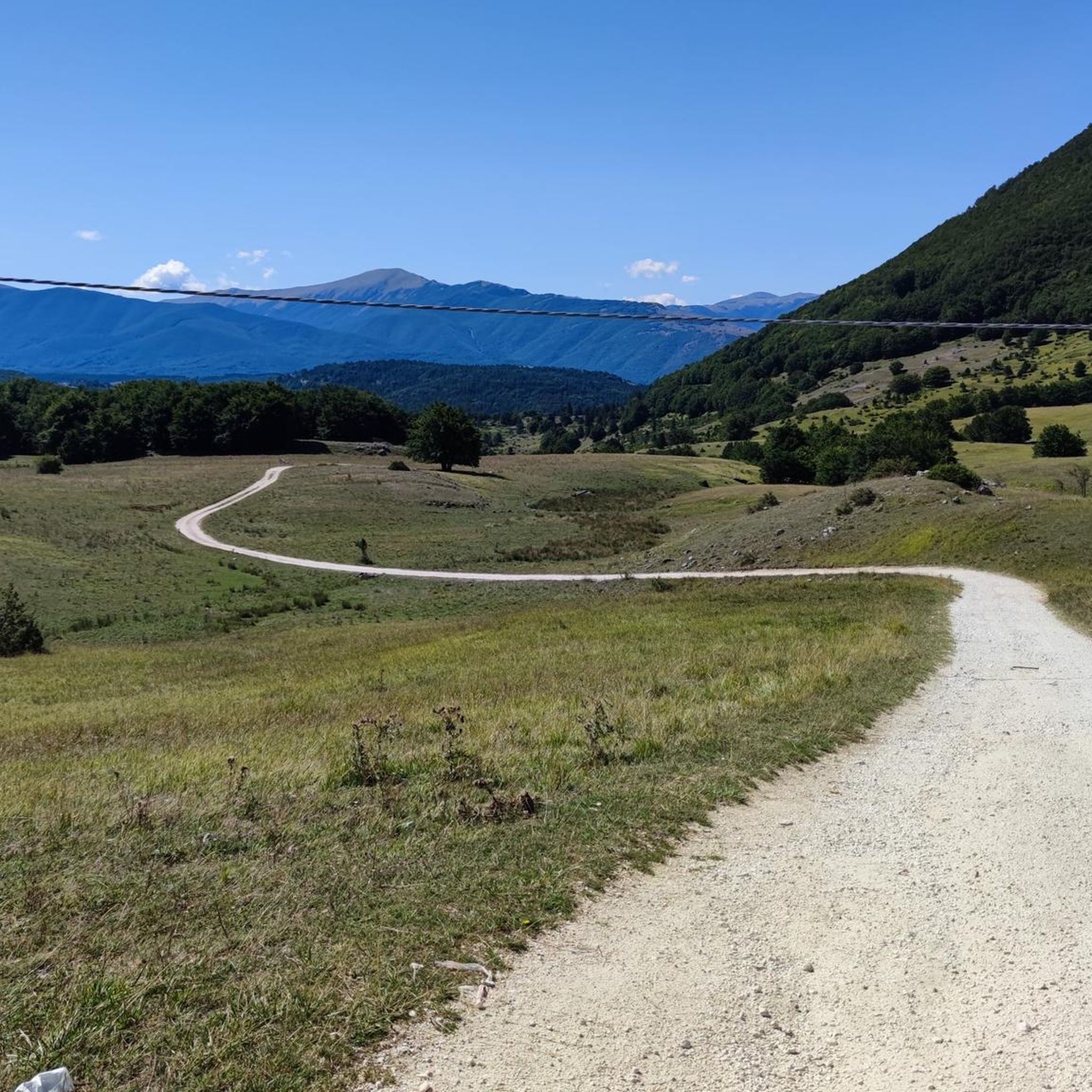
MTB Trails around Parco Nazionale della Majella
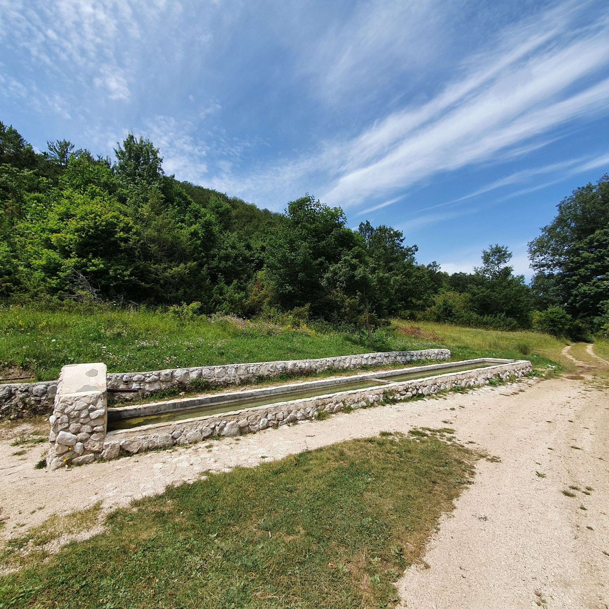
MTB Trails around National Park of Abruzzo
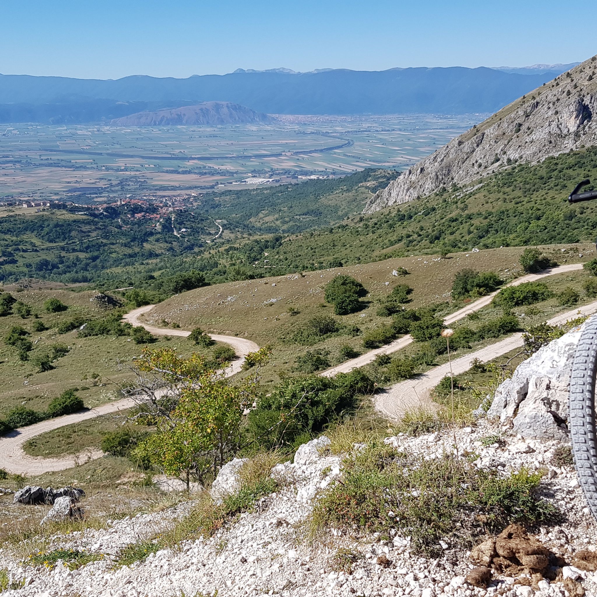
MTB Trails around Parco naturale regionale Sirente-Velino
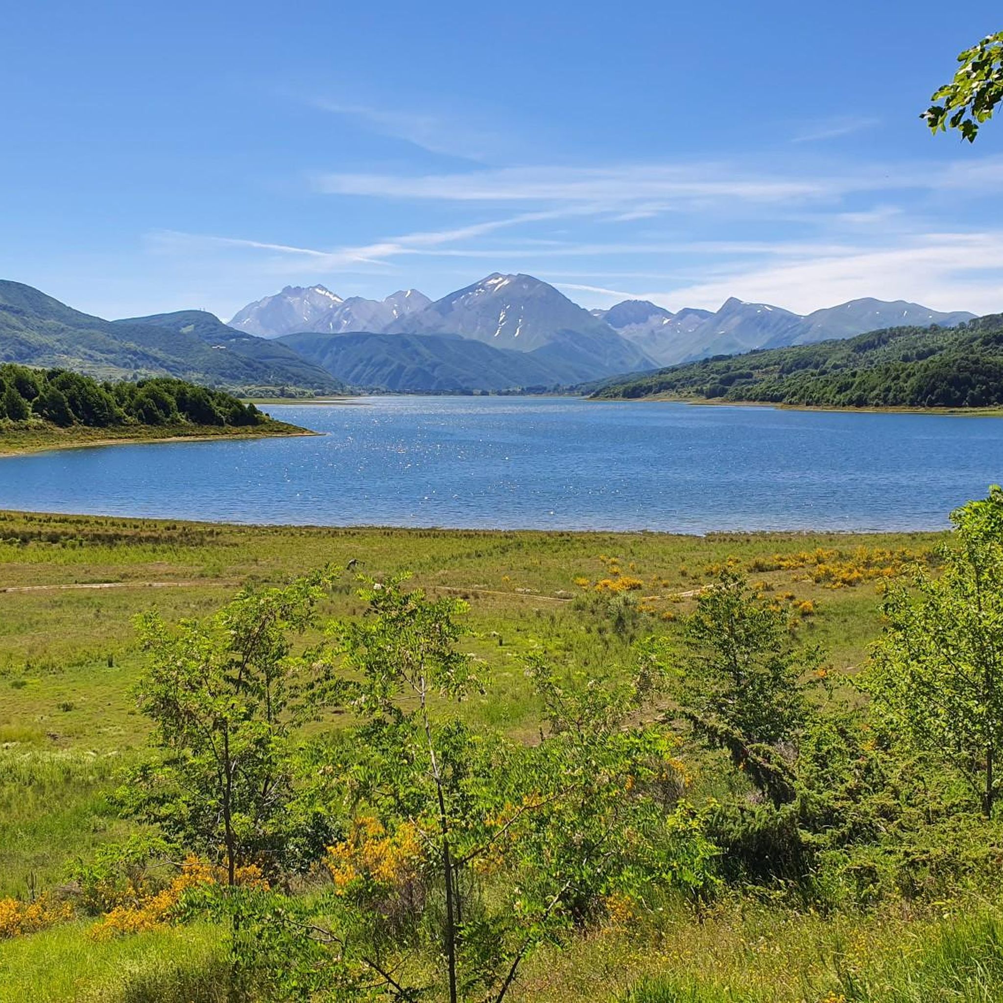
MTB Trails around Opi
MTB Trails around Campotosto
MTB Trails around Castel Del Monte
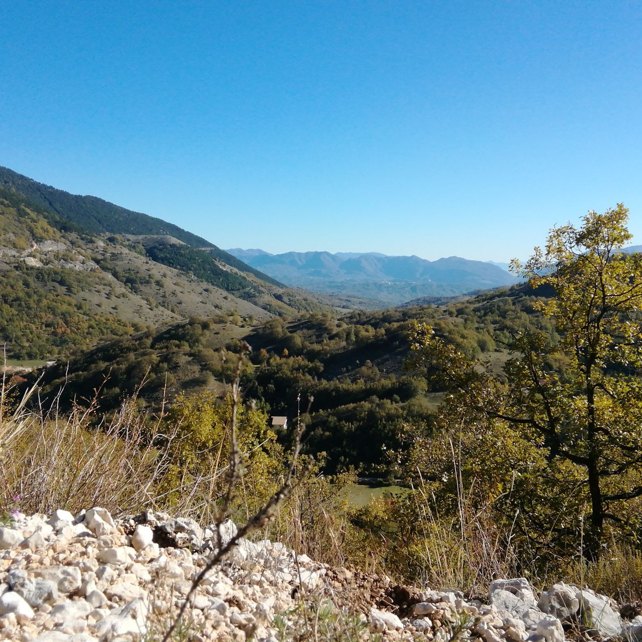
MTB Trails around Villavallelonga
MTB Trails around Calascio
MTB Trails around Pescasseroli
MTB Trails around Villa Santa Lucia Degli Abruzzi
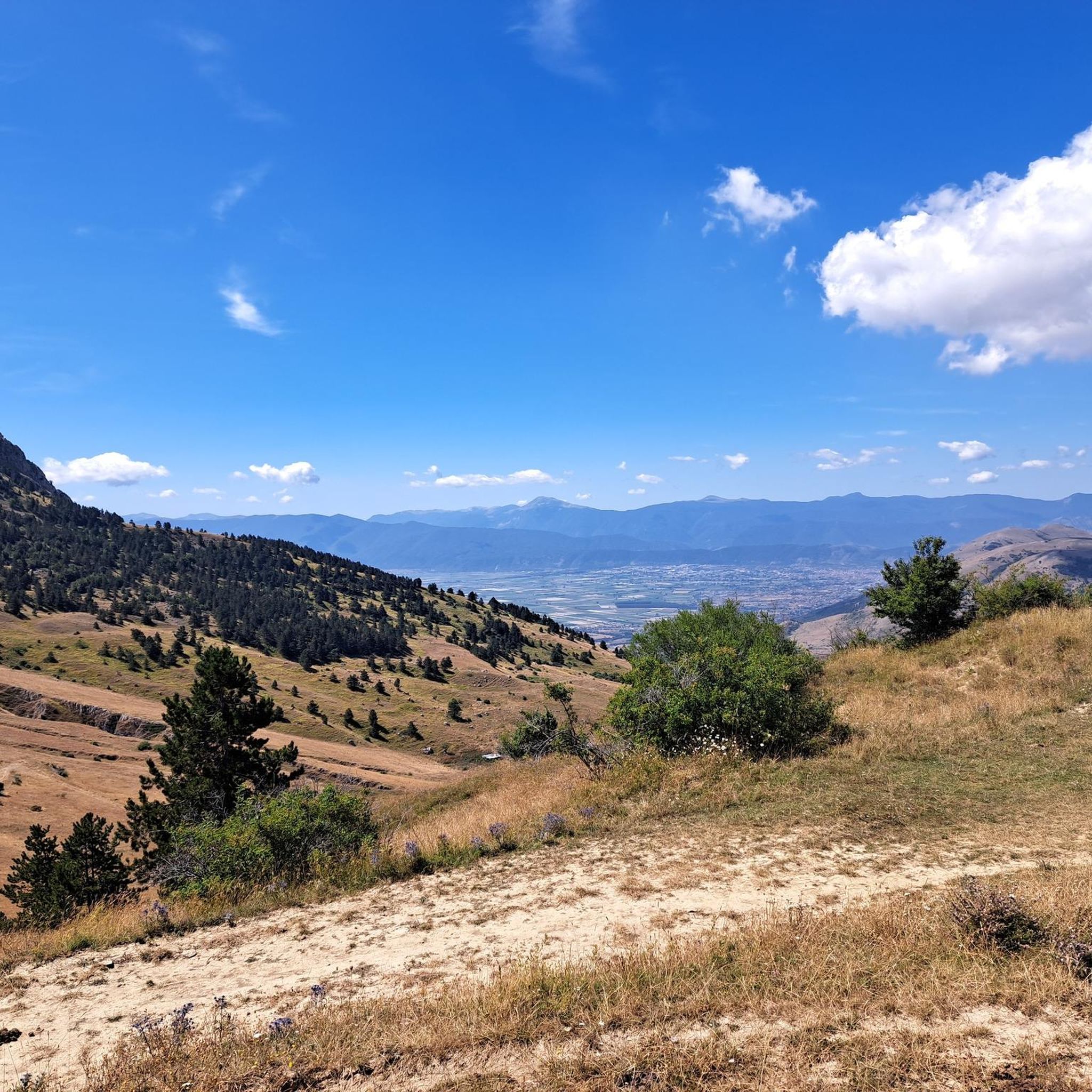
There's 2 rooms, one is locked and the other is open. The open one is big enough to sleep 4 people. There's a broom to clean a bit.
0
0
The village is a little gem, it's a shame the welcome isn't great for cyclists, but it's a rather touristy area.
0
0
The village is a little gem, it's a shame about the lack of hospitality for cyclists.
0
0
A superbly beautiful village with narrow streets and delicious restaurants. However, it's also the most touristy village for miles around. Tour groups are also "delivered" here by bus.
0
0
The trail is very beautiful, but you have to be especially careful of DOGS: not all of them are harmless (one chased us and barked for a long time)...
0
0
A small shelter, a bit battered but essential in cold and bad weather. I believe it's always open.
0
0
It looks like a village from a fantasy movie. Totally unexpected!
0
0
L'Aquila offers a vast network of nearly 1200 mountain bike trails. These routes traverse the diverse landscapes of the Apennine Mountains, including the Gran Sasso d'Italia massif and national parks, providing options for all skill levels.
Yes, L'Aquila has a good selection of trails suitable for beginners and families. There are over 100 easy routes and more than 600 moderate trails. These often explore less challenging terrain within the region's valleys and lower slopes, allowing for a more relaxed experience amidst nature.
For experienced riders seeking a challenge, L'Aquila offers over 460 difficult mountain bike routes. One such demanding route is Campo Imperatore da Santo Stefano di Sessanio - Giro ad anello, which covers 43 km with over 1000 meters of elevation gain across the high-altitude Campo Imperatore plateau. Another is Da Tagliacozzo in Valle della Dogana - Giro ad anello, a 46 km difficult loop with significant climbing.
Yes, many mountain bike routes in L'Aquila are designed as circular loops, allowing you to start and finish at the same point. Examples include Monte Tranquillo, Opi e Pescasseroli – giro ad anello, a 31.9 km difficult route, and Canyon dello Scoppaturo e Rifugio Racollo – giro ad anello, a moderate 26.9 km loop.
L'Aquila's mountain bike trails often pass through or near stunning natural features. You can explore the vast Gran Sasso e Monti della Laga National Park, home to Corno Grande, or the Sirente-Velino Regional Park with its deep gorges and the Sirente Crater. Some routes might take you near the Majella National Park or offer views of the Aterno River valley.
Absolutely. The region is rich in history. For instance, the route Da Santo Stefano di Sessanio a Rocca Calascio – Giro ad anello nella natura takes you towards Rocca Calascio, a stunning fortress perched at 1,460 meters, offering historical interest and panoramic views.
The mountain bike trails in L'Aquila are highly rated by the komoot community, with an average score of 4.5 stars from over 2,300 reviews. More than 17,000 mountain bikers have used komoot to explore the region, often praising the dramatic mountain ranges, high-altitude plateaus, and diverse terrain within the national parks.
The mountainous climate of L'Aquila, with its cooler and drier conditions, makes spring through autumn ideal for mountain biking. Summer offers access to high-altitude plateaus like Campo Imperatore, while spring and autumn provide pleasant temperatures for exploring lower elevations and valleys.
Yes, some routes incorporate the region's water features. For example, the route Lake of Providence and Panepucci Refuge - ring loop explores areas around a lake. The region is also known for the Aterno River and the Tirino River, offering scenic views along their courses.
Yes, several routes are located near mountain huts or refreshment points, which can be convenient for breaks or overnight stays. For instance, the Canyon dello Scoppaturo e Rifugio Racollo – giro ad anello route passes by Rifugio Racollo. You can also find huts like Duca degli Abruzzi Hut or Mucciante Refreshment Stop in the wider L'Aquila area.
Many trails in L'Aquila are situated within or border national and regional parks. The region is home to the Gran Sasso e Monti della Laga National Park and the Sirente-Velino Regional Park. Routes like Da Rocca di Mezzo verso il Parco Naturale Sirente-Velino - Giro ad anello su sentieri directly explore these protected areas, offering stunning natural scenery.


Check out more MTB trails throughout L'Aquila below and find the perfect route in your destination.