The best waterfall hikes and walks in L'Aquila
4.5
(9172)
48,352
hikers
15
hikes
Waterfall hiking trails in L'Aquila are found within a region characterized by high-altitude mountain environments, vast alpine pastures, and deep canyons. The area is home to the Gran Sasso and Monti della Laga National Park and the Sirente-Velino Regional Park, offering diverse landscapes. Hikers can explore majestic peaks, extensive beech forests, and varied geomorphology. This combination provides a rich setting for discovering natural water features.
Best waterfall hiking trails in L'Aquila
- The most popular waterfall hiking route is Camosciara and Nymphs' Waterfall Trail, a 3.8 miles (6.1 km) trail that takes 1 hour 52 minutes to complete. This moderate route leads through a scenic valley known for its cascades and natural beauty.
- Another top favourite among local hikers is Lake San Domenico – View of Villalago loop from Villalago, an easy 3.3 miles (5.3 km) path. This trail offers views of the picturesque Lake San Domenico and the charming village of Villalago.
- Local hikers also love the Three Spouts Waterfall – Nymphs' Waterfall loop from Villetta Barrea, a 6.3 miles (10.1 km) trail leading through areas with multiple waterfalls, often completed in about 3 hours 19 minutes.
- Hiking in L'Aquila is defined by high-altitude mountain environments, vast plateaus, and lush forests. The network offers options for various ability levels, from easy walks to more strenuous climbs.
- The routes in L'Aquila are highly rated by the komoot community with an average score of 4.5 stars from over 8,800 reviews. More than 47,000 hikers have used komoot to explore L'Aquila's varied terrain.
Last updated: July 7, 2026
4.4
(97)
556
hikers
6.08km
01:52
170m
170m
Embark on the Camosciara and Nymphs' Waterfall Trail, a moderate hike that takes you through majestic beech and black pine forests. This 3.8 miles (6.1 km) route involves a 557 feet (170 metres) elevation gain, typically completed in about 1 hour and 52 minutes. You'll experience a journey through a natural amphitheater of impressive Dolomite ridges, culminating at the beautiful Nymphs' Waterfall where water cascades over ancient rock layers.
When planning your visit, be aware that the initial 3 kilometers of the route follow an asphalt road. While closed to car traffic, you can cover this section by tourist train, on horseback, or by bicycle. The area is quite popular, especially during peak season, so expect to see other visitors. The path leading to the waterfalls is well-signposted and features wooden fences for easy navigation, though it can be wet and slippery near the falls.
This trail offers a unique opportunity to explore one of Abruzzo's most renowned reserves within the Parco nazionale d'Abruzzo, Lazio e Molise. The geological structure of the Camosciara forms a spectacular natural amphitheater, showcasing distinctive limestone rock formations. It's a prime example of the park's diverse landscape, making it a notable destination for nature enthusiasts.
4.7
(39)
169
hikers
6.84km
02:10
280m
280m
Moderate hike. Good fitness required. Easily-accessible paths. Suitable for all skill levels.

Sign up for free
4.6
(19)
69
hikers
10.1km
03:20
310m
310m
Moderate hike. Good fitness required. Mostly accessible paths. Sure-footedness required.
4.5
(4)
57
hikers
20.5km
09:31
1,500m
1,500m
Hard hike. Very good fitness required. Sure-footedness, sturdy shoes and alpine experience required.
5.0
(4)
27
hikers
8.29km
02:28
240m
240m
Moderate hike. Good fitness required. Easily-accessible paths. Suitable for all skill levels.
Get access to more routes and recommendations from other explorers.
Sign up for free
Already have an account?
Our route recommendations are based on thousands of hikes, rides, and runs completed by other people on komoot.
Start today with a free account
Your next adventure awaits.
Login or Signup
Popular around L'Aquila

Waterfall hikes around Parco Nazionale della Majella
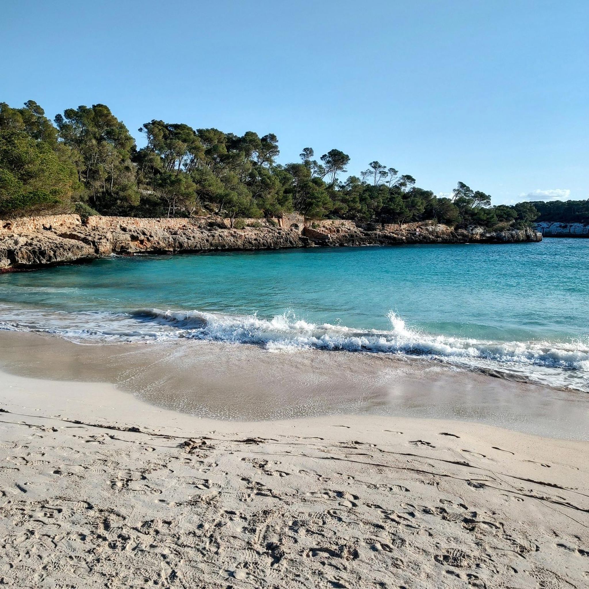
Waterfall hikes around National Park of Abruzzo
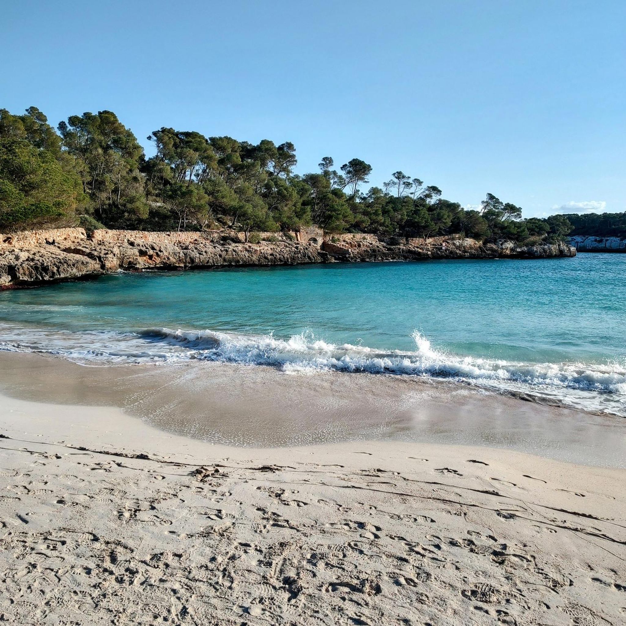
Waterfall hikes around Lake Barrea

Waterfall hikes around Lake Scanno

Waterfall hikes around Parco naturale regionale Sirente-Velino
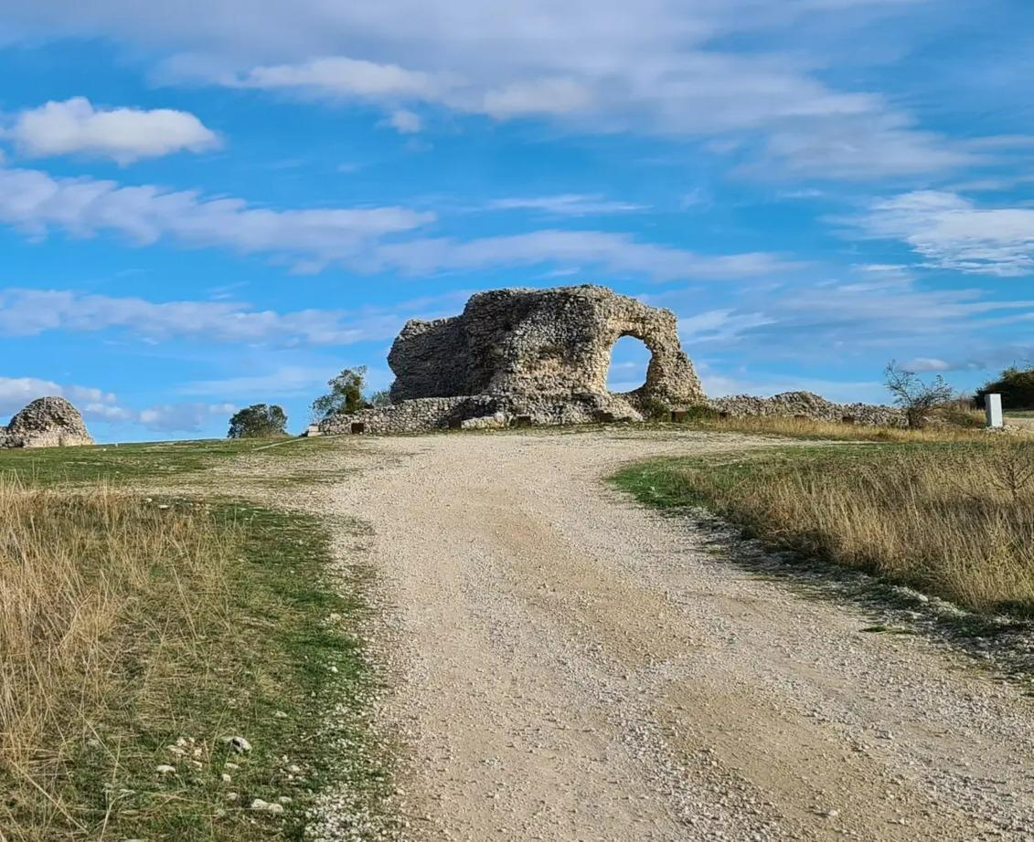
Tratturo Magno – On the roads of transhumance
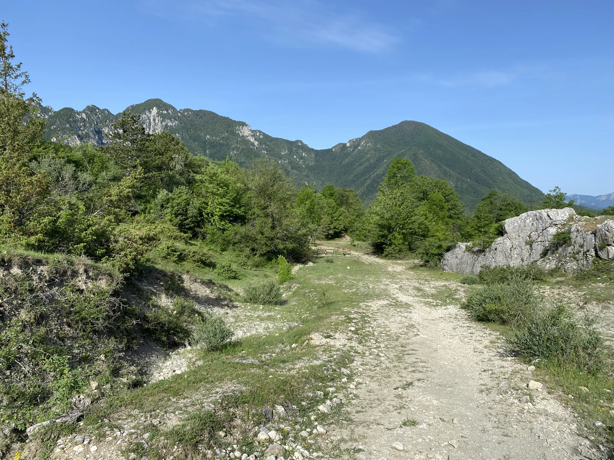
Hike along shepherds tracks in Italy – Via del Tratturo
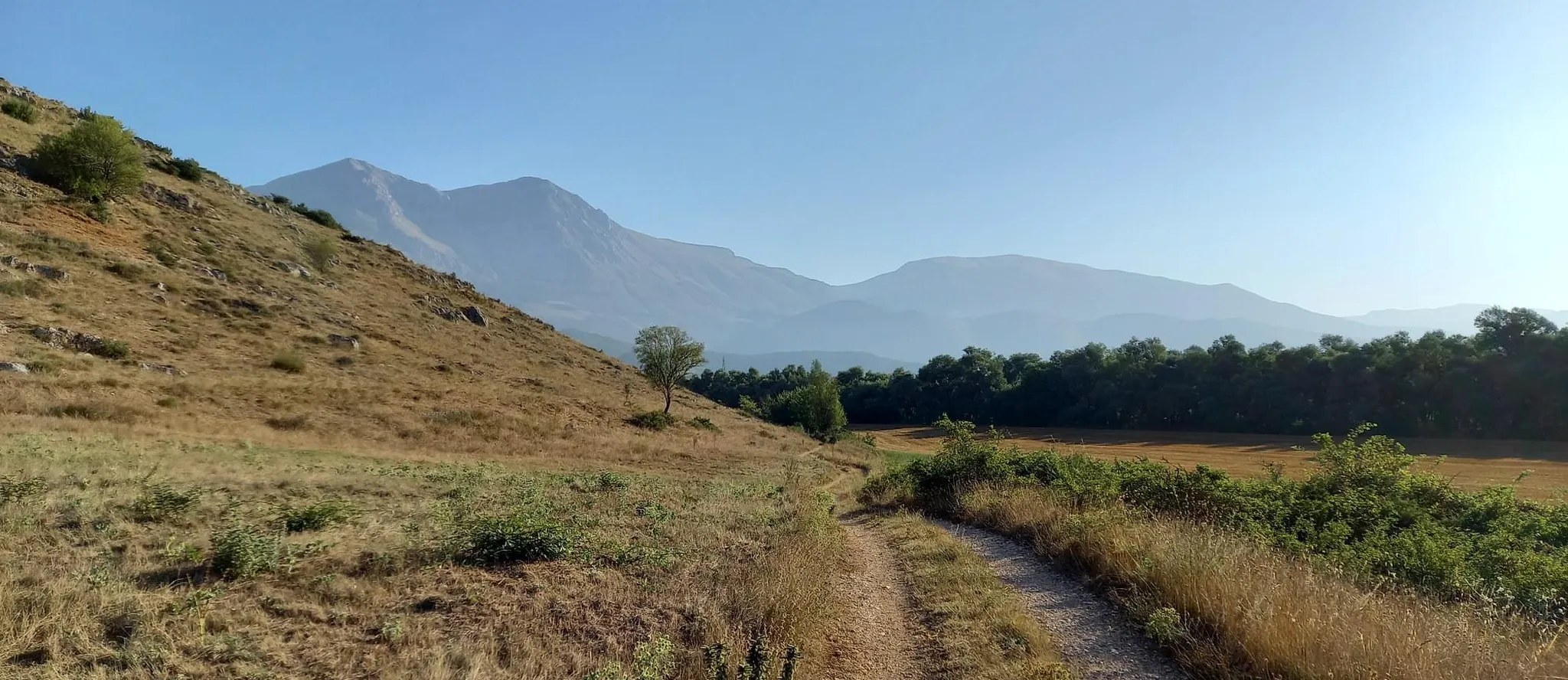
Hike from Rome to the Adriatic Sea – Way of St. Thomas
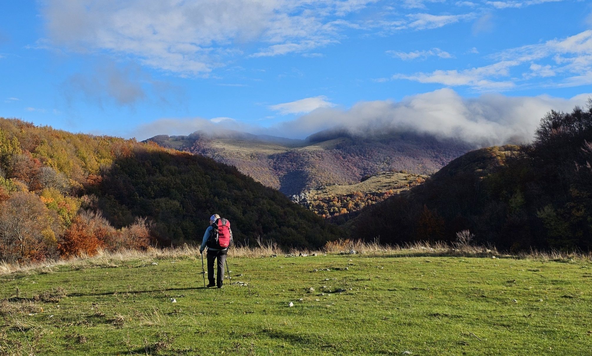
A colourful journey – hike in the Simbruini Mountains
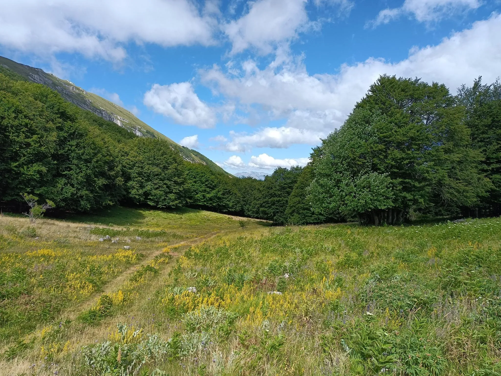
Natural Park Walk – part 4 from Accumoli to L'Aquila
Other adventures in L'Aquila


Tips from the Community

inside the hermitage of San Domenico
0
0

The Funivia del Gran Sasso d'Italia (the cable car to Campo Imperatore) was originally opened in 1934 and was recently reopened on June 15, 2026, after a period of significant maintenance. The cable car connects the valley station in Fonte Cerreto (Assergi, at 1,117 meters) with the Campo Imperatore plateau (at 2,130 meters). The cable car to Campo Imperatore has a rich history. The first installation was built in 1934 during the reign of Benito Mussolini and was considered a technical masterpiece and one of the longest cable cars in the world at the time. It also played a role in the spectacular liberation of Mussolini during World War II. The original cabins remained in use until 1985. After a complete modernization, the current cable car was put into operation in 1988. With two cabins for 100 passengers each, it covers a distance of over 3 kilometers and an altitude difference of 1,013 meters in just seven minutes. Following extensive safety works, including the replacement of the support cables, the cable car has been fully operational again since June 2026. Opening hours: During the summer season (until the end of August 2026), the cable car to Campo Imperatore is open daily from 07:30 to 19:30. The cabins depart every 30 minutes. Please note that in case of strong winds or other extreme weather conditions, the cable car may be temporarily taken out of service to ensure the safety of travelers.
4
0
Campo Imperatore is one of Italy's most impressive natural areas. This vast, treeless high plain at an altitude of approximately 2,000 meters is not called 'Little Tibet' for nothing. Surrounded by the rugged peaks of the Gran Sasso massif, it offers a spectacular setting for hikers of all levels. From relaxed walks across the rolling plateau between grazing sheep and horses to challenging climbs of Monte Aquila, the Rifugio Duca degli Abruzzi, or even Corno Grande (2,912 m), the highest peak in the Apennines. Thanks to accessibility by car or cable car, you can start your hike right in the middle of the high mountains, with breathtaking panoramas along the way and a landscape that has served as a backdrop for countless films.
5
0
The Abruzzo Astronomical Observatory on Campo Imperatore, officially the Stazione Osservativa di Campo Imperatore, is one of Italy's most special observatories, located at an altitude of 2,150 meters. Since its opening in 1965, astronomers here have benefited from exceptionally clear nights. Thanks to a natural phenomenon, thermal inversion, clouds and artificial light often remain trapped in the valleys, making the night sky above the plateau remarkably dark and clear. Historical tidbit: one of the observatory's most important telescopes has a remarkable history. The AZT-24 infrared telescope was originally intended as a gift from Adolf Hitler to Benito Mussolini during World War II and was known as the "Mussolini telescope." However, due to the fall of the fascist regime, the telescope was never delivered. After the war, the instrument was taken by the Soviet Union to the Pulkovo Observatory. It wasn't until after the end of the Cold War that the telescope returned to Italy, where it finally found a permanent home on Campo Imperatore in 1997. The observatory also played an important role in modern astronomy. Between 2001 and 2004, during the CINEOS project, scientists discovered more than 1,500 new asteroids, including several so-called Near-Earth Objects that approach Earth's orbit. Thus, Campo Imperatore is not only one of the most beautiful places to stargaze but also a location that makes a significant contribution to the research of our solar system and the monitoring of potential space risks.
4
0

According to local tradition, the hermitage was dug by Saint Dominic, around the year 1000, in a bank made of sandstone, travertine, clay, and graphite. The hermitage is part of the monastic complex of Prato di Cordoso, known by devotees as the "Monastery of Plataneto". Entering the sanctuary, at the bottom on the left of the tabernacle, you will find a door that will lead you to a cave where the Saint used to go to rest. The path is easy and suitable for families. It starts from the village of Villalago to reach the Lake of San Domenico and then the Hermitage. A few steps from the hermitage is the characteristic bridge over the lake, a suggestive passage suspended over intensely colored waters, from which you can enjoy an excellent unique view of the Lake of San Domenico and the surrounding valley.
1
0
Lake San Domenico is a picturesque artificial basin created around 1920 with the construction of a dam on the Sagittario river, built for hydroelectric power generation. Located near the Hermitage of San Domenico, it strikes with the extraordinary color of its waters, which vary from emerald green to intense blue.
1
0
The historic center of Villalago is a charming mountain village that has retained its authentic character. Narrow stone alleys intertwine between ancient houses, arches, and evocative views, offering a timeless atmosphere. Strolling through the alleys, you can discover small details, flowery balconies, and panoramic viewpoints opening onto the surrounding valley. The silence and tranquility of the village make this stop ideal for a regenerating break, far from the chaos. In recent years, Villalago has become even more special thanks to the presence of deer, which increasingly venture into the inhabited center, offering surprising encounters and a unique contact with nature even among the village houses. "Giorgetto" is the most famous deer in Villalago, an imposing specimen recognizable by his 8-pointed antlers, a sign of great strength and maturity. Every year, in September, he descends towards the village during the mating season, offering the evocative spectacle of his roar that attracts visitors and photographers. Having become a true social media star, he is today one of the most exciting encounters in the area. Remember, however, to always observe him from a distance, respecting his wild nature.
1
0
The Lago di Pio, in the charming village of Villa Lago, is a small jewel immersed in nature, perfect for a relaxing break during your hike. A comfortable circular path allows you to go all the way around the lake, offering tranquil views and several panoramic spots, ideal for stopping on the benches and enjoying the silence. This place has become even more special in recent years: starting from 2020, during the lockdown due to covid, deer (especially females) began to approach the village. Over time, they have become accustomed to human presence and today it is possible to encounter them moving freely through the streets of Villa Lago or along the lake shores. A unique experience that makes this stop even more fascinating and memorable.
1
0
Frequently Asked Questions
How many waterfall hiking trails are available in L'Aquila?
The L'Aquila region offers a diverse selection of waterfall hiking trails. You can find 15 routes specifically focused on waterfalls, catering to various skill levels and preferences.
Are there easy waterfall hikes suitable for beginners in L'Aquila?
Yes, L'Aquila has several easy waterfall hikes perfect for beginners or those seeking a relaxed walk. For instance, the Lake San Domenico – View of Villalago loop from Villalago is an easy 3.3-mile path offering picturesque views. Another gentle option is the Lake San Domenico – Valle di Villalago loop from Villalago, which is 3.8 miles long.
What about more challenging waterfall trails for experienced hikers in L'Aquila?
For experienced hikers looking for a challenge, L'Aquila's mountainous terrain provides several difficult routes. While not exclusively waterfall-focused, trails like the View of Campo Imperatore – Campo Imperatore loop from Campo Imperatore offer significant elevation gain and stunning landscapes in the Gran Sasso area, where you might encounter seasonal water features. There are 7 difficult routes available in the region.
Can I find family-friendly waterfall hikes in the L'Aquila region?
Absolutely. Many of the easier and moderate waterfall trails in L'Aquila are suitable for families. The Camosciara and Nymphs' Waterfall Trail, a moderate 3.8-mile route, is a popular choice for its scenic beauty and accessible cascades, making it enjoyable for various age groups.
Are dogs allowed on waterfall trails in L'Aquila?
Generally, dogs are welcome on many hiking trails in the L'Aquila region, especially in the national and regional parks, provided they are kept on a leash and owners adhere to local regulations. It's always best to check specific park rules or trail signage before heading out, particularly in protected areas like the Gran Sasso and Monti della Laga National Park or the Sirente-Velino Regional Park.
Are there circular waterfall routes in L'Aquila?
Yes, you can find several circular waterfall routes in L'Aquila, which allow you to start and end at the same point without retracing your steps. A great example is the Three Spouts Waterfall – Nymphs' Waterfall loop from Villetta Barrea, a 6.3-mile trail that takes you through areas with multiple waterfalls.
What natural features or landmarks can I expect to see near L'Aquila's waterfalls?
Beyond the waterfalls themselves, the L'Aquila region is rich in natural beauty. You can explore impressive geological formations like the Gorges of Celano or the Scoppaturo Canyon. The area is also home to picturesque lakes, vast alpine pastures like Campo Imperatore, and charming ancient villages, offering a blend of natural and historical exploration.
What is the best time of year to go waterfall hiking in L'Aquila?
The best time for waterfall hiking in L'Aquila is typically during spring and early summer (April to June) when snowmelt feeds the waterfalls, making them particularly powerful and scenic. Autumn (September to October) also offers pleasant temperatures and vibrant foliage, though water levels might be lower. Winter can be beautiful with frozen cascades, but trails may be challenging due to snow and ice.
What do other hikers enjoy most about the waterfall trails in L'Aquila?
The waterfall trails in L'Aquila are highly rated by the komoot community, with an average score of 4.5 stars from over 8,800 reviews. Hikers often praise the region's dramatic natural beauty, the refreshing presence of the cascades, and the diverse landscapes ranging from high-altitude mountains to lush forests. The well-maintained trails and the opportunity to combine nature with historical exploration are also frequently highlighted.
Are there any cafes or amenities near the waterfall hiking routes?
While specific amenities vary by trailhead, many routes in L'Aquila's protected areas, such as the Gran Sasso and Monti della Laga National Park and the Sirente-Velino Regional Park, are often accessible from or pass near charming villages. These villages typically offer local cafes, restaurants, and sometimes accommodation, allowing hikers to refuel and relax after their adventures.
What kind of terrain can I expect on waterfall hikes in L'Aquila?
The terrain on waterfall hikes in L'Aquila is quite varied, reflecting the region's diverse geomorphology. You can expect paths through extensive beech forests, alongside rivers and streams, and sometimes rocky sections, especially on more challenging routes. The area features high-altitude mountain environments, vast plateaus, and deep canyons, so trails can range from gentle, well-trodden paths to more rugged and steep ascents.
How can I reach the waterfall trails using public transport?
Access to some waterfall trails in L'Aquila is possible via public transport, particularly those closer to towns or villages. However, many trailheads within the Gran Sasso and Monti della Laga National Park and the Sirente-Velino Regional Park are more easily reached by car. It's advisable to research local bus schedules or consider carpooling for specific routes, as public transport options can be limited in more remote mountain areas.
Most popular routes in L'Aquila
Most popular attractions in L'Aquila

Get inspired with the komoot mobile app


Didn’t find what you were looking for?
Check out more Hikes throughout L'Aquila below and find the perfect route in your destination.
