Top 20 Natural Monuments around Sampeyre
Best natural monuments around Sampeyre are found within the Valle Varaita, offering diverse natural features. The region is characterized by its alpine landscape, including high-altitude lakes, river sources, and mountain peaks. These sites provide opportunities to explore ancient natural formations and panoramic mountain vistas. The area is known for its ecological significance and varied terrain.
Best natural monuments around Sampeyre
- The most popular natural monuments is Lake Fiorenza, a lake that offers unique alpine frames. This alpine lake is…
Last updated: August 22, 2026
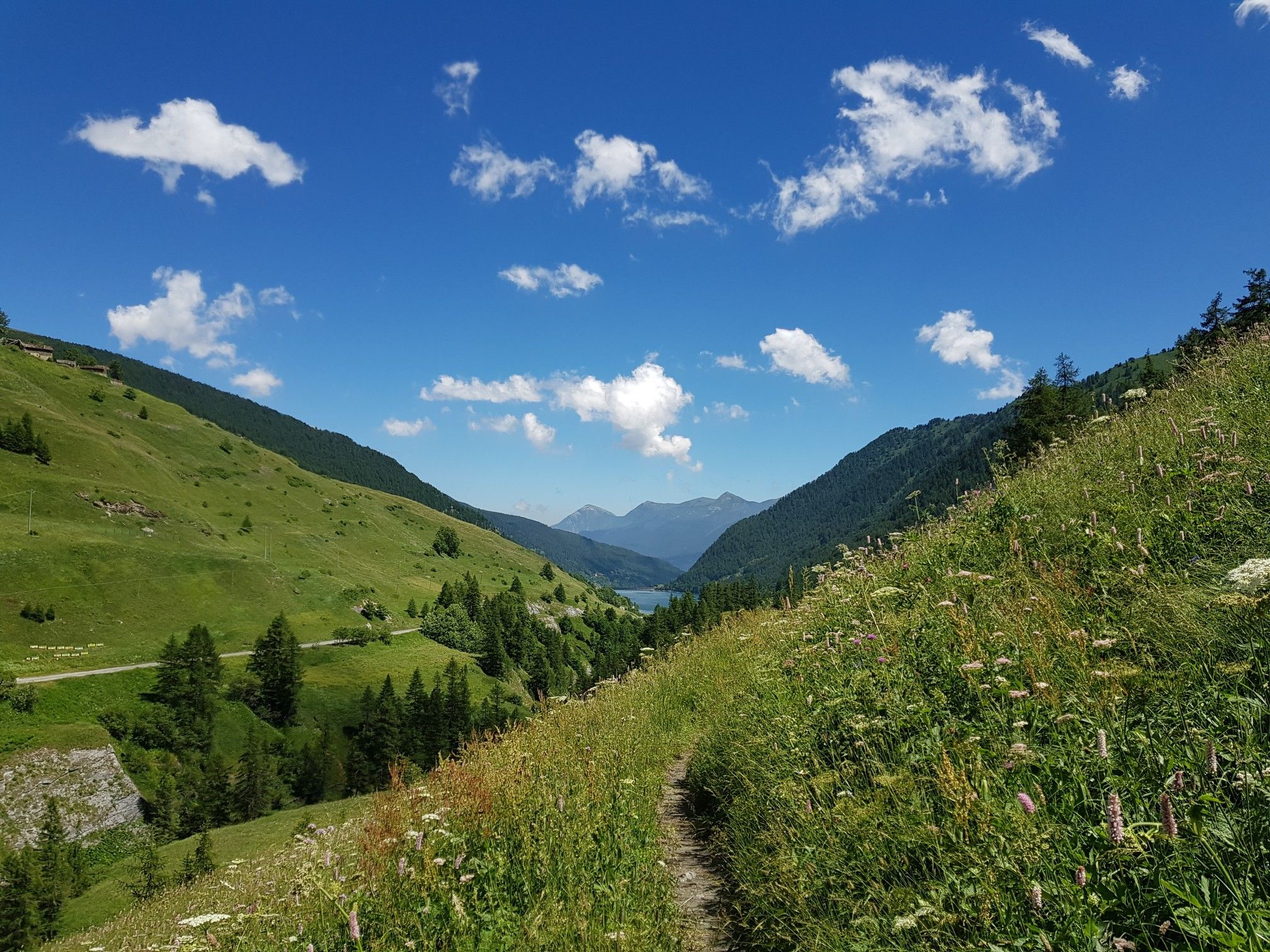
Source of the Po River
Highlight • River
Translated by Google •
Tip by

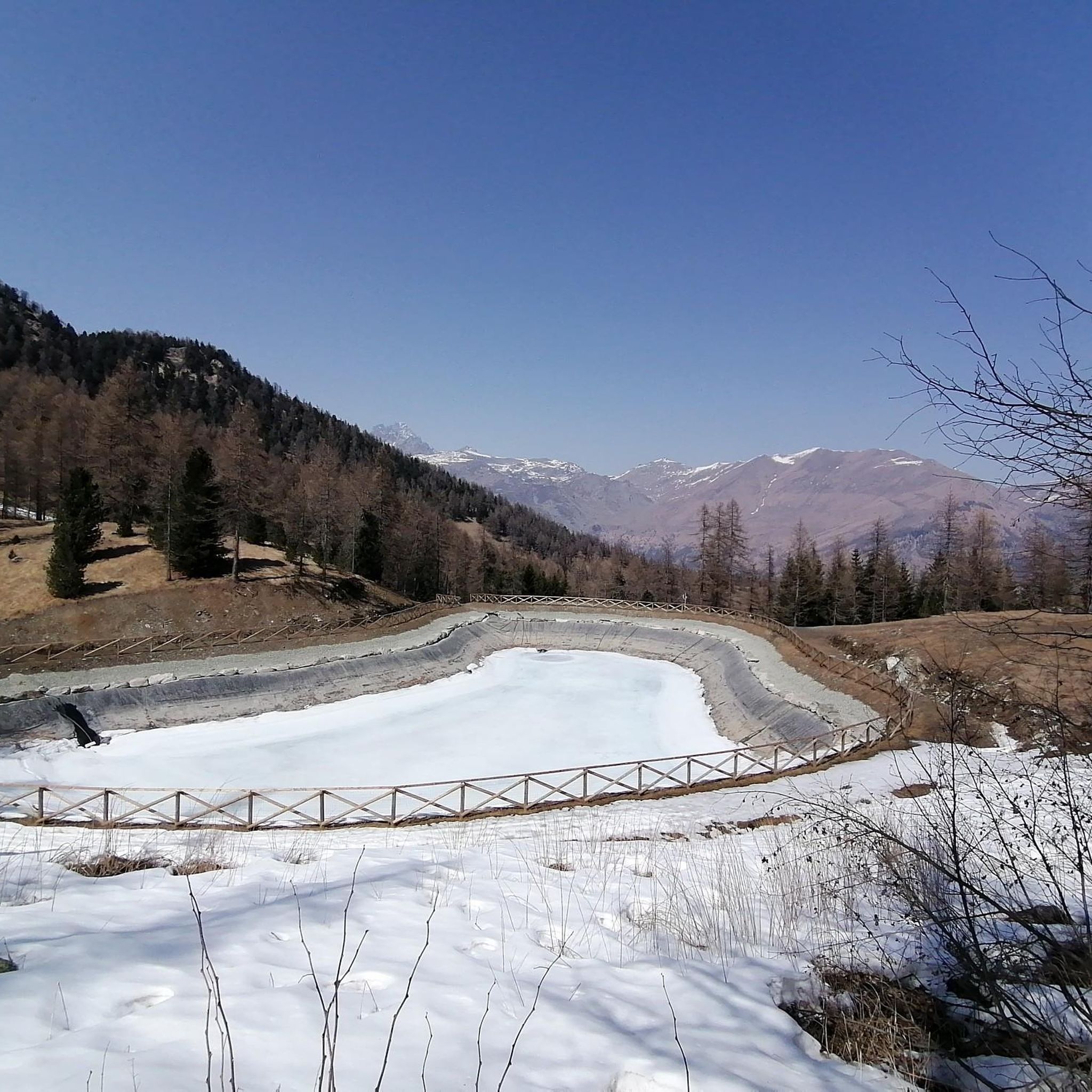
Lake Fiorenza
Highlight • Lake
Translated by Google •
Tip by

Sign up now to discover places like this
Get recommendations on the best single tracks, peaks, & plenty of other exciting outdoor places.
Sign up for free
Pian della Regina Plateau
Highlight • Trail
Translated by Google •
Tip by

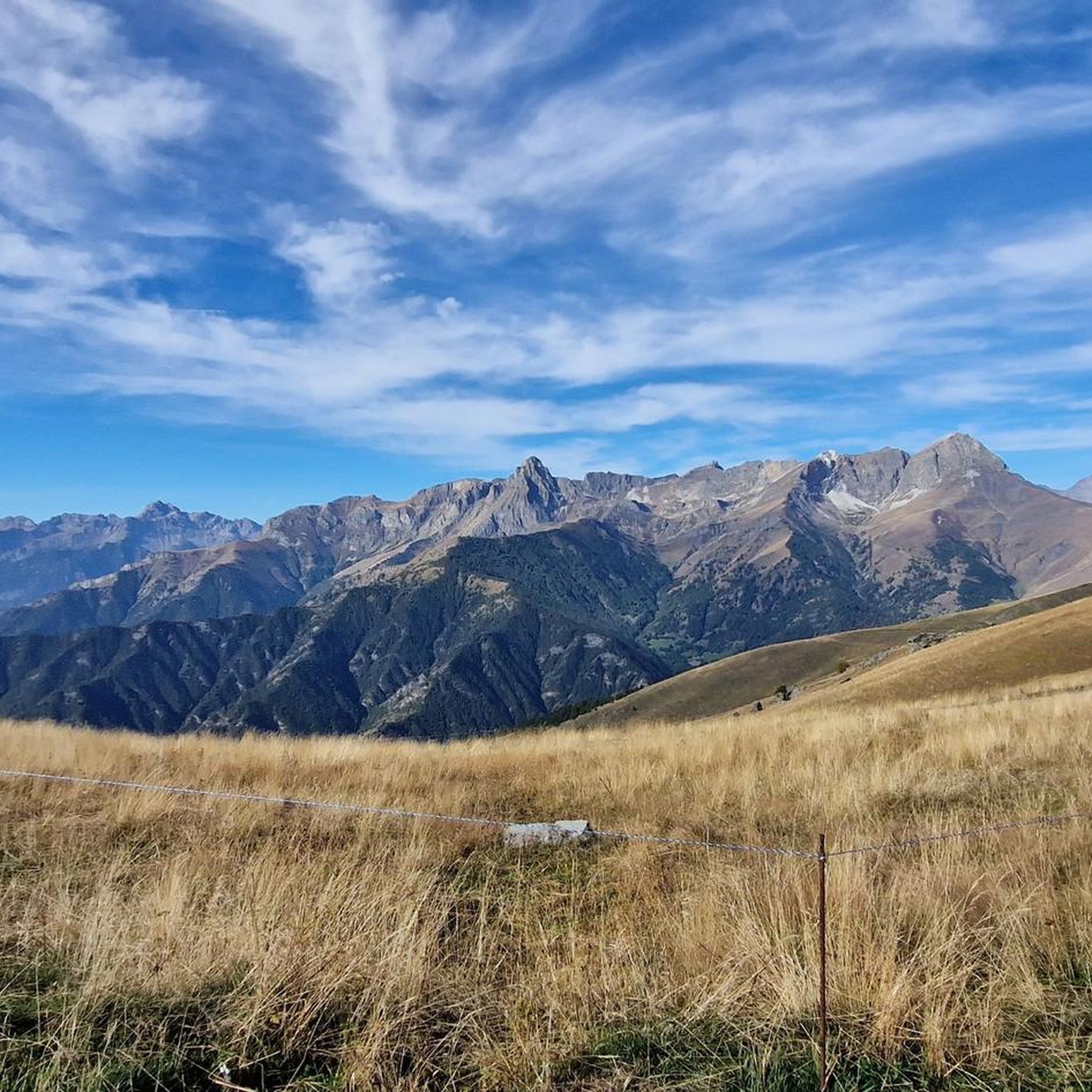
Mount Roccerè
Highlight • Summit
Translated by Google •
Tip by

Fremo Cuncunà rock formation
Highlight • Natural Monument
Translated by Google •
Tip by
Sign up for free to discover even more natural monuments around Sampeyre.
Sign up for free
Already have an account?
Start today with a free account
Your next adventure awaits.
Login or Signup
Popular around Sampeyre

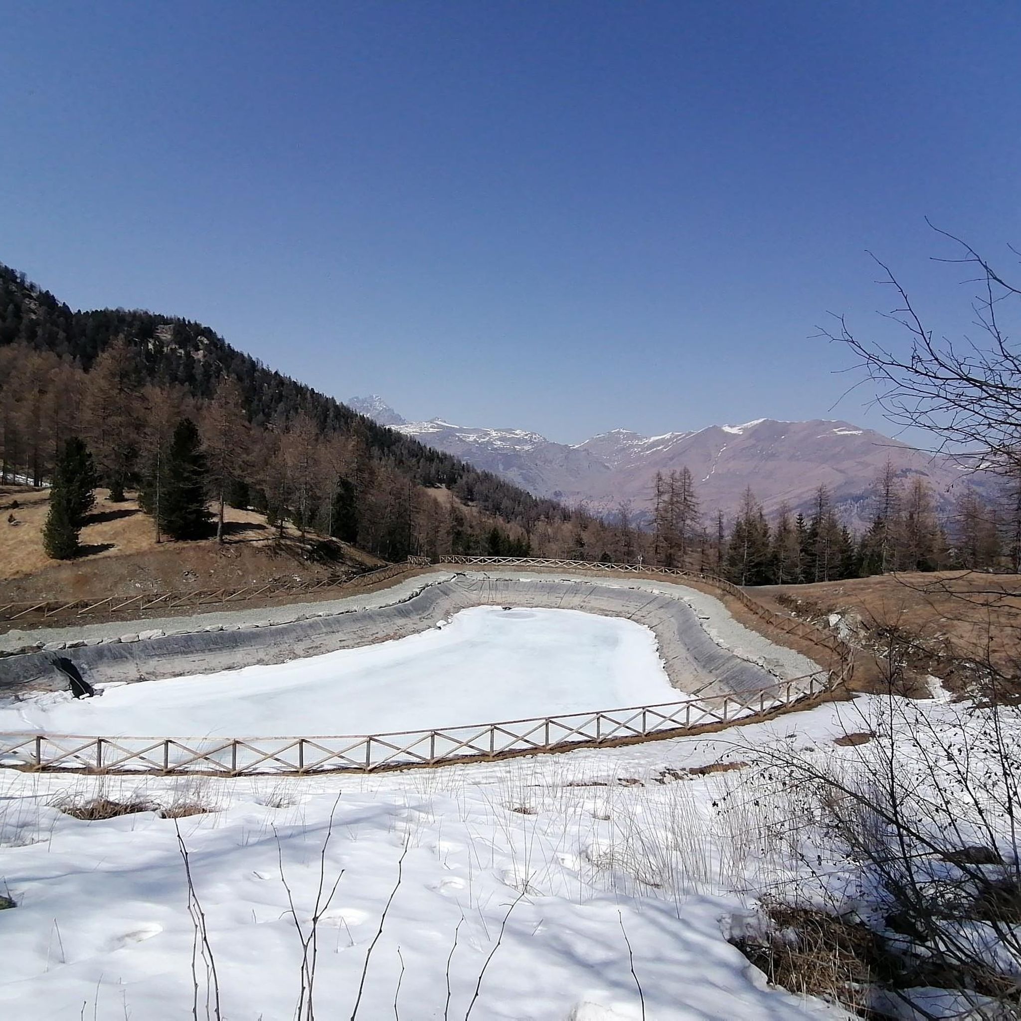
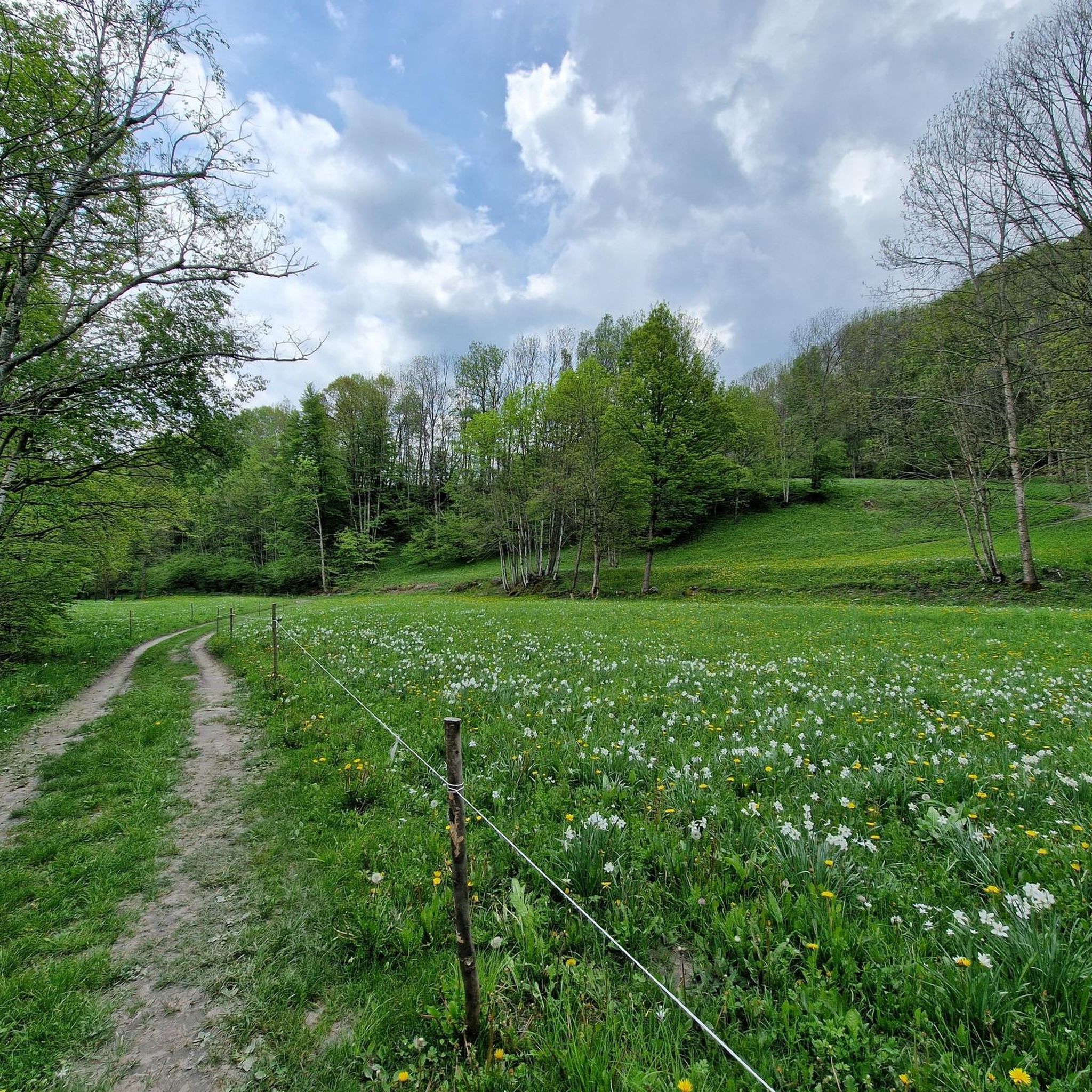


Tips from the Community

Beautiful and famous lake easily reachable from Pian del Re and Regina.
0
0

I visited it on a rainy day, with poor visibility, but despite everything it turned out to be a very pleasant surprise. It is a spectacle of nature.
1
0

Fermo Cuncunà in Occitan means "crouching woman" and, to be called this, it is precisely the set of rocks that form the profile of a crouched female figure. Not only this surprising play of perspectives particularly evident on the road of the Vallone di Elva. Here, you can enjoy an enchanting view of the Bettone, Chersogno, Marchisa, Pelvo and Monviso mountains. While under the rock, if you don't suffer from vertigo, you can admire the overhang on the Vallone di Elva.
5
0

Overlooking rock in the municipality of Elva a few steps from the San Giovanni hill and easily accessible because it is located about ten minutes from the road to Elva. If you want, you can join the excursion to Mount Bettone, clearly visible from the fremo. Being positioned obliquely upwards, there is little sense of dizziness, just don't look too far below
1
0

This rocky tongue suspended in the void is famous for its resemblance to the majestic fjords of Norway. Her name, "crouching woman" in Occitan, describes the figure that can be admired from the Elva valley. Enjoy the rocky terrain before Fremo Cuncunà, perfect for running.
1
0

Iconic point of passage to go up to Pian del Re, ideal for a stop with refreshment in the extraordinary Alpine scenery of Monviso.
0
0

Thrilling view of the valley!
1
0

Good for spectacular photos...
2
0
Frequently Asked Questions
What unique natural features can I explore around Sampeyre?
Sampeyre, located in the Valle Varaita, offers a variety of unique natural features. You can visit the Source of the Po River, the origin point of Italy's longest river at 2,022 meters. Another highlight is Lake Fiorenza, an alpine lake known for its unique frames. The region also boasts the ancient Bosco dell'Alevé, one of Europe's largest stone pine forests, and the distinctive peat bog lake, Lago Bagnour.
Are there any ancient or historically significant natural monuments in the area?
Yes, the area around Sampeyre holds significant natural and historical sites. The Bosco dell'Alevé is an ancient forest mentioned in historical texts by Virgil and Pliny the Elder, home to monumental stone pines over 550 years old. Additionally, Mount Roccerè is known for the discovery of cupels, small hollows in the rock dating back to the Bronze Age.
What are some of the most scenic viewpoints near Sampeyre's natural monuments?
For breathtaking panoramic views, Mount Roccerè offers excellent vistas overlooking the Maira Valley, Monviso, and the Cuneo hills. The Sarvanot Trail also leads to a Giant Bench providing stunning panoramic views of the Valle Varaita. The Pian della Regina Plateau is another spot where you can enjoy unique views of the Monviso.
Are there family-friendly natural monuments or trails suitable for children?
Absolutely! The Sarvanot Trail in the hamlet of Rore is particularly engaging for families. It's an approximately 2-kilometer path enchanted by mythical 'wood sprites' hidden along the route, culminating at the picturesque Tumpi la Pisso waterfall. The Pian della Regina Plateau is also considered family-friendly, offering an ideal place for a short break.
What kind of hiking experiences can I expect at Sampeyre's natural monuments?
You can expect diverse hiking experiences, from leisurely walks to challenging mountaineering. The Bosco dell'Alevé offers numerous trails amidst ancient trees. The Sarvanot Trail is well-suited for hikers of all experience levels. For more challenging ascents, Cima delle Lobbie (3,015 meters) provides rewarding experiences for mountaineers, potentially requiring specialized equipment depending on the season. Many paths also start from the Pian del Re Hut, including day trips and multi-day treks like the Giro del Monviso.
Are there specific trails recommended for exploring the Bosco dell'Alevé?
Yes, the Bosco dell'Alevé, Italy's largest stone pine forest, has numerous trails for hiking. You can access it from Sampeyre and explore paths leading to destinations like Lago Bagnour and Lago Secco. The Rifugio Bagnour, located on the banks of Lago Bagnour, serves as an excellent base for day trips or multi-day treks within the forest and towards other destinations like the Giro del Monviso.
What outdoor activities are available near these natural monuments?
Beyond exploring the natural monuments themselves, the area around Sampeyre offers a wide range of outdoor activities. You can find various hiking routes, including those around the Valle Varaita. For more challenging mountain excursions, there are numerous mountain hikes. Gravel biking is also popular, with routes like the Sampeyre Pass loop, which you can explore through gravel biking guides around Sampeyre.
Where does the Po River originate, and can I visit its source?
The Po River originates at an altitude of 2,022 meters in Pian del Re. You can indeed visit its source, which is a significant natural monument. It's amazing to see how a small jet of water transforms into Italy's longest river. The Source of the Po River is very close to the Rifugio Albergo Alpino "Pian del Re".
What makes Lago Bagnour unique compared to other alpine lakes?
Lago Bagnour, situated at 2,017 meters within the Bosco dell'Alevé, is unique because it is more akin to a peat bog than a traditional lake. Its distinct ecosystem supports specific biological features, including the endemic Branchipus blanchardi shrimp. Visitors can explore its various water mirrors via wooden bridges and walkways, offering a tranquil and rare natural experience.
What is the best time of year to visit Sampeyre's natural monuments?
The best time to visit Sampeyre's natural monuments for hiking and outdoor activities is generally from early June to late September. During this period, the Pian del Re Hut is open, and trails are typically free of snow, making them more accessible. However, some higher-altitude peaks like Cima delle Lobbie may require specialized equipment even in late spring or early autumn if snow is present.
Are there any dog-friendly trails among the natural monuments?
While specific regulations for each monument may vary, many trails in the Valle Varaita are generally dog-friendly, especially if dogs are kept on a leash. The Sarvanot Trail, with its whimsical forest path, can be a pleasant walk for dogs and their owners. It's always advisable to check local signage or specific park rules for any restrictions before heading out with your dog.
What facilities are available near the natural monuments, such as huts or restaurants?
Near several natural monuments, you'll find convenient facilities. The Pian del Re Hut, located near the Source of the Po River and Lake Fiorenza, offers 30 beds, a bar, and restaurant service from early June to late September. Similarly, the Rifugio Bagnour is situated on the banks of Lago Bagnour within the Bosco dell'Alevé, providing a welcoming base for explorers.
How long does it typically take to explore the main natural monuments?
The time required varies greatly depending on the monument and your activity. For instance, the Sarvanot Trail is about 2 kilometers long and can be completed in a couple of hours. Visiting the Source of the Po River and Lake Fiorenza can be done as a day hike from Pian del Re. Exploring the vast Bosco dell'Alevé or ascending Cima delle Lobbie could take a full day or even involve multi-day treks, especially if you plan to stay at mountain huts.
Most popular routes around Sampeyre
Most popular attractions around Sampeyre

Get inspired with the komoot mobile app


Explore more
Extend your search for the best caves by checking out these guides of the top ones around Sampeyre:
