The best road cycling routes around Sampeyre
4.7
(119)
5,452
riders
10
rides
Road cycling around Sampeyre is characterized by its alpine setting in the Piedmont region, offering routes with significant elevation changes. The terrain features challenging mountain passes, deep valleys, and scenic loops through the surrounding peaks. Road cyclists can expect varied landscapes, from high-altitude climbs to routes connecting local villages.
Best road cycling routes around Sampeyre
- The most popular road cycling route is Col Agnel / Colle dell'Agnello – Lac de Pontechianale loop from Sampeyre, a 62.3 miles (100.2 km)…
Last updated: October 4, 2026
4.6
(21)
894
riders
74.0km
04:52
2,270m
2,270m
Hard road ride. Very good fitness required. Mostly well-paved surfaces and easy to ride.
4.6
(5)
152
riders
32.4km
02:44
1,340m
1,350m
Hard road ride. Very good fitness required. Some segments of this route may be unpaved and difficult to ride.

5.0
(6)
145
riders
44.3km
03:26
1,810m
1,810m
Hard road ride. Very good fitness required. Some segments of this route may be unpaved and difficult to ride.
5.0
(2)
151
riders
58.3km
02:38
640m
640m
Moderate road ride. Good fitness required. Mostly well-paved surfaces and easy to ride.
63
riders
93.9km
06:33
2,730m
2,730m
Hard road ride. Very good fitness required. Some segments of this route may be unpaved and difficult to ride.
Get access to more routes and recommendations from other explorers.
Already have an account?
Our route recommendations are based on thousands of hikes, rides, and runs completed by other people on komoot.
Start today with a free account
Your next adventure awaits.



Tips from the Community

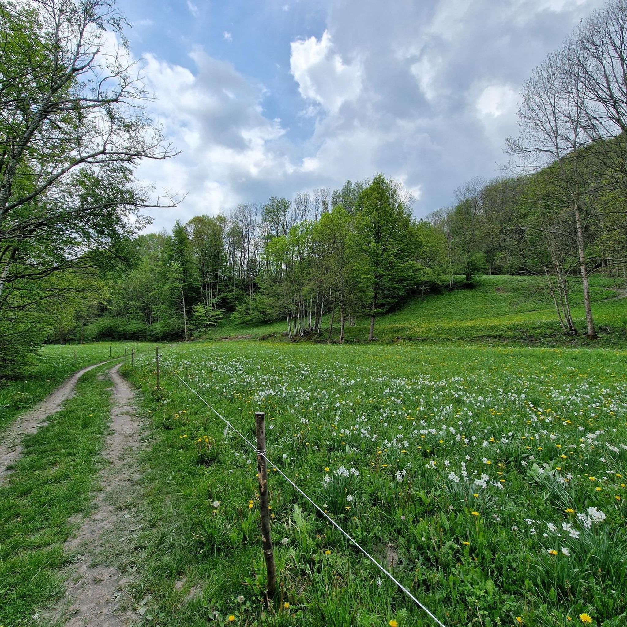
Open view of the summer pastures of Colle del Sampeyre (descending towards Stroppo)
0
0
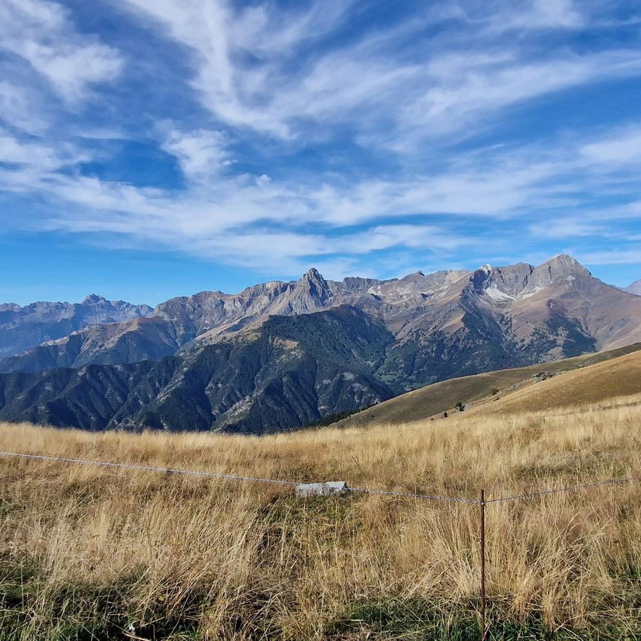
Panorama of Val Maira descending from Colle del Sampeyre
0
0

Interesting sanctuary in the middle of greenery, reachable by various roads that are not too busy and very beautiful to ride - including the Strada dei Cannoni, which however in the initial stretch from Colletta di Rossana to Valmala is a bit closed: much better to go up from Lemma, or from Valcurta (the shadiest). At the sanctuary, various bars and restaurants for support, free water point, toilets.
0
0
From the bridge over the Varaita, entering Costigliole from the Saluzzo/Piasco side, you get a beautiful overview of the upper part of the town with its churches and castles (remember that there are as many as three castles in Costigliole Saluzzo).
1
0
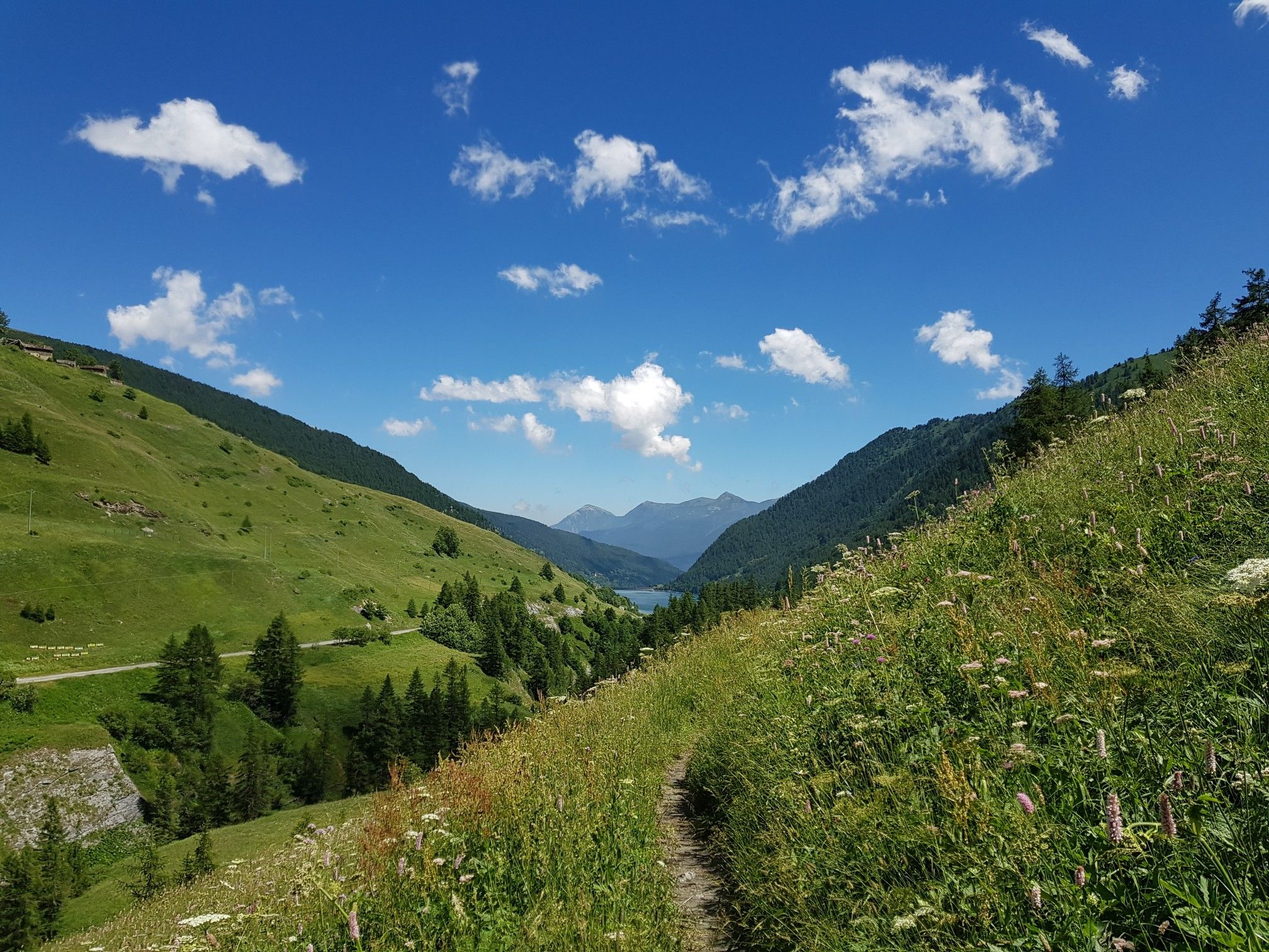
Ascent to the Colle di Sampeyre from Sampeyre. Constant gradient over the entire (long) route, it never lets up, but it's a good climb on a picture-postcard mountain with stunning views of the valley.
0
0
Parish church of Stroppo, located in the hamlet of Paschero (capital and municipal seat). Classic structure of these valleys, with a painted facade (the fresco above the portal is very beautiful). The bell tower is noteworthy. Around it, the hamlet, very picturesque. The Town Hall and the nearby covered loggia are noteworthy.
1
0
Country crossed by the provincial road, on which it offers several points of interest - but it is worth leaving the provincial road and venturing into the narrow streets, where you will discover very interesting views, such as the church in a summit position and a 16th-century fountain.
0
0
Beautiful village on the road between Sampeyre and Casteldelfino. Right at the entrance, a pretty little church greets you, then a small square with a drinking fountain and a beautiful wooden statue. The rest is made up of beautiful, well-restored houses. Worth a visit.
0
0
Frequently Asked Questions
Are there any easy road cycling routes suitable for beginners in Sampeyre?
Road cycling around Sampeyre is primarily characterized by its alpine setting and significant elevation changes, making most routes moderate to difficult. There are no routes specifically classified as easy in the immediate area, so beginners should be prepared for challenging climbs and descents.
What is the best time of year for road cycling in Sampeyre?
The best time for road cycling in Sampeyre is typically from late spring (May/June) through early autumn (September/October). During these months, the weather is generally more stable, and mountain passes are clear of snow, offering optimal conditions for tackling the challenging alpine routes.
Where can I find parking for road cycling routes in Sampeyre?
Parking is generally available in the main village of Sampeyre and other smaller towns along the valley. Look for designated public parking areas, especially near the start points of popular routes. It's advisable to arrive early during peak season to secure a spot.
What kind of elevation gain can I expect on road cycling routes around Sampeyre?
Road cycling routes in Sampeyre are known for their substantial elevation gain, reflecting the alpine terrain. For example, the Col Agnel / Colle dell'Agnello – Lac de Pontechianale loop from Sampeyre features over 2,900 meters of ascent, while the Sampeyre Pass – Pian Pietro loop from Colle di Sampeyre includes over 2,700 meters. Even moderate routes like the Sampeyre – Melle loop from Sampeyre still involve over 600 meters of climbing.
Are there any family-friendly road cycling options in Sampeyre?
Given the challenging nature of the terrain with significant elevation changes, most road cycling routes around Sampeyre are not typically considered family-friendly for younger children or inexperienced riders. The area is better suited for cyclists seeking a demanding alpine experience.
What do other road cyclists enjoy the most about road cycling in Sampeyre?
The area is highly rated by the komoot community, with an average score of 4.6 stars from more than 40 reviews. Cyclists frequently praise the challenging mountain passes, the stunning alpine scenery, and the sense of accomplishment after conquering the demanding climbs.
Are there any circular road cycling routes available in Sampeyre?
Yes, many of the road cycling routes in Sampeyre are designed as loops, allowing you to start and finish in the same location. Examples include the challenging Col Agnel / Colle dell'Agnello – Lac de Pontechianale loop from Sampeyre and the more moderate Casteldelfino – Lac de Pontechianale loop from Sampeyre.
What kind of attractions or landmarks can I see along the road cycling routes?
Road cycling routes often pass by or offer views of significant natural and man-made landmarks. You might encounter highlights such as the Statue of the Virgin Mary at Colle di Sampeyre, the scenic Pian della Regina Plateau, or various mountain passes like the Sampeyre Pass. Some routes also feature beautiful lakes, such as those near Lake Fiorenza.
Are there opportunities for cafe stops or refreshments along the routes?
While many routes traverse remote alpine areas, you'll find opportunities for cafe stops and refreshments in the villages and towns along the valleys, such as Sampeyre itself or Melle. On longer, high-altitude routes, it's advisable to carry sufficient supplies, as services may be sparse.
How many road cycling routes are available around Sampeyre?
There are 10 road cycling routes available around Sampeyre, offering a range of challenging experiences through the alpine landscape of the Piedmont region.
Are there any less crowded road cycling routes in Sampeyre?
While popular passes can see more traffic, many routes in Sampeyre offer a sense of solitude, especially on weekdays or outside of peak tourist season. Exploring routes that connect smaller villages or venture deeper into the valleys, such as the Pian Pietro – Lemma Village loop from Sampeyre, may offer a quieter experience.
Most popular routes around Sampeyre
Most popular attractions around Sampeyre

Get inspired with the komoot mobile app


Explore more
Browse the best Road cycling routes in other regions.
