Top 20 Natural Monuments around Dättlikon
Best natural monuments around Dättlikon are found in a municipality in the canton of Zürich, Switzerland, characterized by its significant natural landscape. Nearly half of its area is covered by forests, with a large portion also used for agriculture. Situated in the lower Töss Valley, Dättlikon provides access to picturesque natural areas and is in close proximity to several notable natural attractions.
Best natural monuments around Dättlikon
- The most popular natural monuments is Neeracherried Nature Reserve, a natural monument…
Last updated: May 14, 2026
Golden Gate
Highlight • Lake
Translated by Google •
Tip by

Affenschlucht Waterfall
Highlight • Waterfall
Translated by Google •
Tip by

Sign up now to discover places like this
Get recommendations on the best single tracks, peaks, & plenty of other exciting outdoor places.
Sign up for free
Geodetic Center of the Canton of Zurich
Highlight • Monument
Translated by Google •
Tip by

Thurspitz (Confluence of Thur and Rhine)
Highlight • River
Translated by Google •
Tip by
Light Forest Thurauen
Highlight • Forest
Translated by Google •
Tip by

Sign up for free to discover even more natural monuments around Dättlikon.
Sign up for free
Already have an account?
Start today with a free account
Your next adventure awaits.
Login or Signup

Tips from the Community

Unique nature reserve, Thur flows into the Rhine. The current is very nice to watch. Bird watching hut on an old bunker
0
0

The pond owes its existence to groundwater, which is forced to rise through a watertight obstacle. The rising groundwater stirs up fine, light sand, interspersed with white snail shell debris, which was used as writing sand until the beginning of the last century. Legend of the "Goldig Tor" (short version according to Meinrad Lienert) Once upon a time a shepherd boy was tending sheep at the pond. It was a glorious foehn day and the boy lay down on the bank with his eyes heavy with dreams. Suddenly a maiden emerged from the pond up to her shoulders. She lured him with a golden ring on her hand. The boy tried to grab the ring and leaned over the water. Suddenly the maiden took him in both arms and sank with him. He had barely disappeared when his farmer rushed over, because he had heard his shepherd boy cry out. But he could not see his little shepherd anywhere. Suddenly it shot up like a candle from the golden sand whirlpool in the pond in front of him. He quickly pulled it to the bank. After a while the boy opened his eyes and began to tell what had happened to him: "The water maiden pulled me into an infinite depth. Suddenly I saw a mighty city with a huge golden gate. It just opened wide and a beautiful maiden stepped out. Now the maiden, who was holding me in her arms, opened her arms to greet her friend. At the same moment a whirlpool grabbed me and pulled me up with it. I don't know anything else." The shepherd boy returned to the pond again and again, but he never met the beautiful maiden again. Thanks to his story, however, we now know where the gold flakes in the water come from: they are washed off the golden gate and carried to the surface (content from the information board).
4
0

This is the geographical center of the canton of Zurich. A striking stone pillar signals the point.
1
0

@ Werner Brülisauer: The geodetic center is the most central official survey point.
1
0

Only accessible on foot, about 200m
0
0

Maybe I need to put it more succinctly. The geographical center / geodetic center of the canton of Zurich is not in Brütten, where all the hiking routes with the map sections suggest. I can't shake the impression that amateurs often post and publish something here that not only has nothing to do with reality, but has nothing at all to do with reality.
1
0

This is the geodetic center (survey) located near Brütten. The geographic center of the Canton of Zurich is near Wangen, which is much further south.
0
0
What surprises me now is exactly which center point is being described here. The canton of Zurich itself has listed this survey point in Wangen-Brüttisellen. Why there should be such a point somewhere near a school building here in Brütten is a mystery to me.
1
0
Frequently Asked Questions
Are there family-friendly natural monuments to visit around Dättlikon?
Yes, several natural monuments around Dättlikon are suitable for families. The Golden Gate, a unique pond formed by groundwater, offers clear water and a fascinating legend. The Affenschlucht Waterfall provides an engaging experience where children can splash in sandstone tubs. Additionally, the Neeracherried Nature Reserve is excellent for birdwatching with its nature center and lookout tower.
What kind of natural features can I expect to see in the Dättlikon area?
The Dättlikon area offers a diverse range of natural features. You can explore significant forested areas, picturesque agricultural landscapes, and water bodies like the Golden Gate pond. River confluences, such as the Thurspitz (Confluence of Thur and Rhine), and impressive waterfalls like the Affenschlucht Waterfall, are also prominent. The region also features nature reserves and various viewpoints.
Where can I find panoramic views of the Alps near Dättlikon?
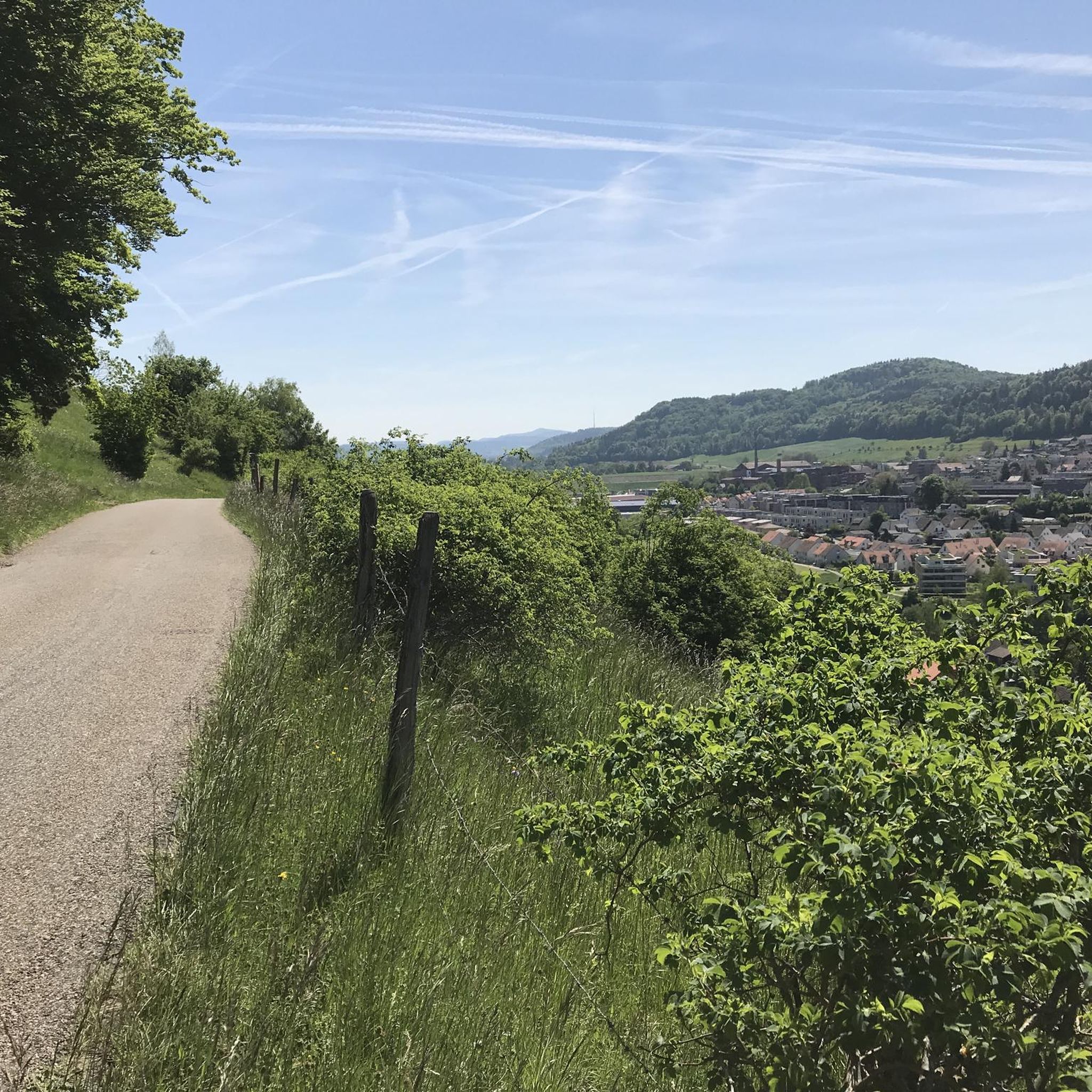
For fantastic panoramic views of the Alps, visit the Geodetic Center of the Canton of Zurich. On clear days, you can see peaks stretching from the Säntis to Mönch, Eiger, and Jungfrau, and even the Black Forest to the north. A panoramic board helps identify the various mountains.
Are there hiking trails near the natural monuments around Dättlikon?
Yes, there are several hiking trails that allow you to explore the natural monuments. For example, a popular moderate loop from Dättlikon combines the Affenschlucht Waterfall with Wart Castle, covering approximately 11.2 km. You can find more hiking options in the Hiking around Dättlikon guide.
What is the Husemer Lake and what does it offer?
Husemer Lake (Husemersee), located near Dättlikon, is a designated nature reserve known as a beautiful natural bathing lake surrounded by forest. It features a large sunbathing and play area, a barbecue spot, and a jetty, making it a comfortable destination for nature lovers. Toilet facilities and bicycle parking are also available nearby.
What is the Neeracherried Nature Reserve known for?
The Neeracherried Nature Reserve is a significant wetland habitat, particularly known for its rich birdlife. It features a nature center with a lookout tower, making it an excellent spot for observing waterfowl and migratory birds. The entire perimeter around the reserve offers a well-maintained cycleway.
Can I cycle near the natural monuments in Dättlikon?
Yes, cycling is a popular activity in the Dättlikon area. While access by bike might be restricted in some specific nature reserve areas like parts of Husemer Lake, many routes are available. For instance, the perimeter around the Neeracherried Nature Reserve is a good asphalted cycleway. You can find various cycling routes in the Cycling around Dättlikon guide.
What is the significance of the Thurspitz?
The Thurspitz (Confluence of Thur and Rhine) is the distinct meeting point of the Thur and Rhine rivers. It was artificially created during the first Thur correction in the late 19th century to manage water flow. Visitors can observe the turbulences where the two rivers merge, offering a unique natural spectacle.
What is the legend associated with the Golden Gate pond?
The Golden Gate pond is associated with the legend of the 'Goldig Tor'. It tells of a shepherd boy who was lured into the water by a maiden with a golden ring. He was pulled into an infinite depth where he saw a mighty city with a huge golden gate. The legend explains the presence of gold flakes in the water, said to be washed off the golden gate and carried to the surface.
What is the Rhine Falls and how far is it from Dättlikon?
The Rhine Falls, while a bit further afield from Dättlikon, is one of Europe's largest and most powerful waterfalls. Approximately 150 meters wide and 23 meters high, it's an awe-inspiring natural spectacle, especially after snowmelt. It's estimated to be around 15,000 years old and is a major natural highlight in the broader region.
What do visitors particularly enjoy about the natural monuments around Dättlikon?
Visitors appreciate the diverse natural beauty and tranquility of the Dättlikon area. They enjoy the impressive sights like the Affenschlucht Waterfall, the clear waters and legends of the Golden Gate, and the excellent birdwatching opportunities at the Neeracherried Nature Reserve. The panoramic views from the Geodetic Center are also highly praised.
Most popular routes around Dättlikon
Most popular attractions around Dättlikon

Get inspired with the komoot mobile app


Explore more
Extend your search for the best caves by checking out these guides of the top ones around Dättlikon:
