The best gravel rides around Dättlikon
4.2
(121)
681
riders
105
rides
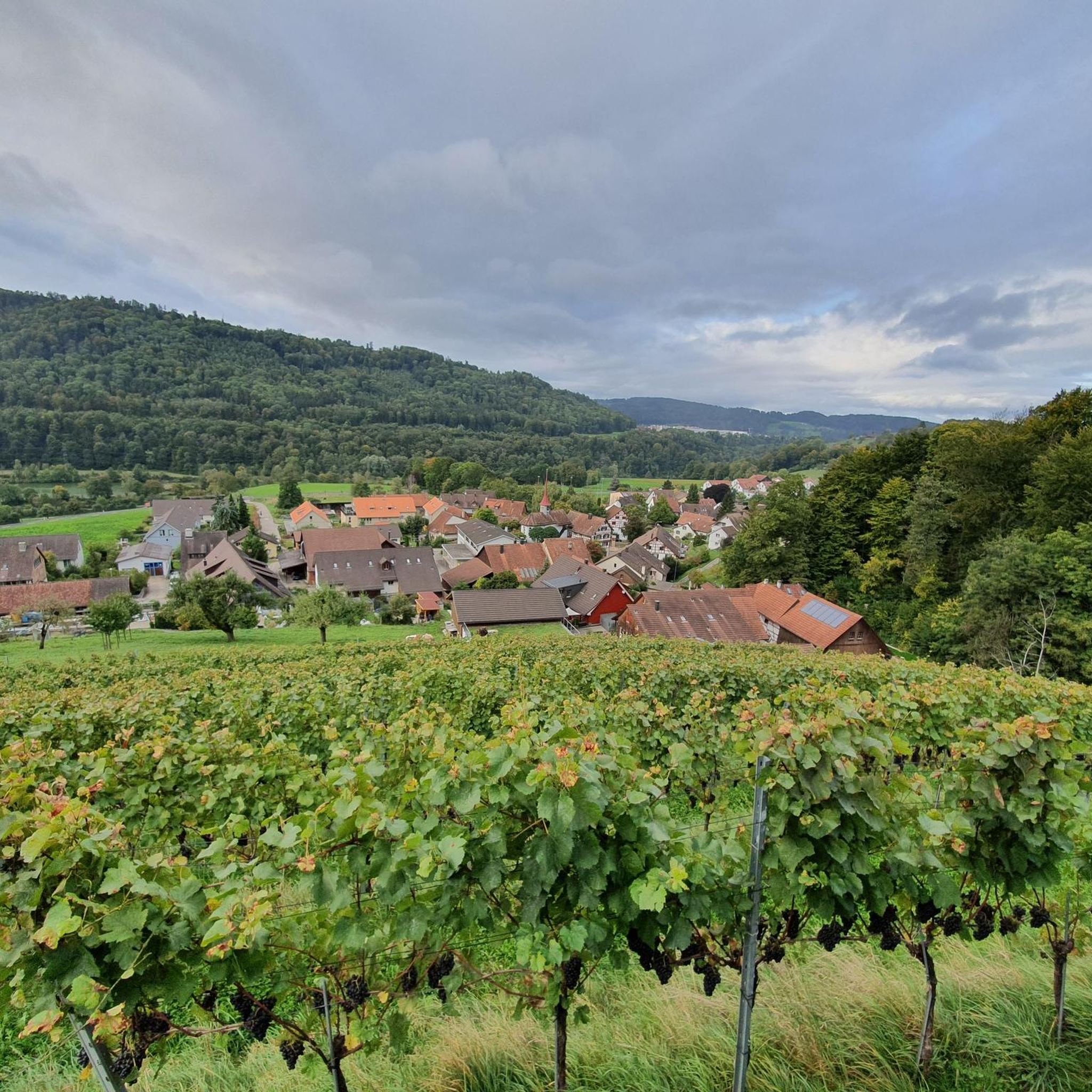
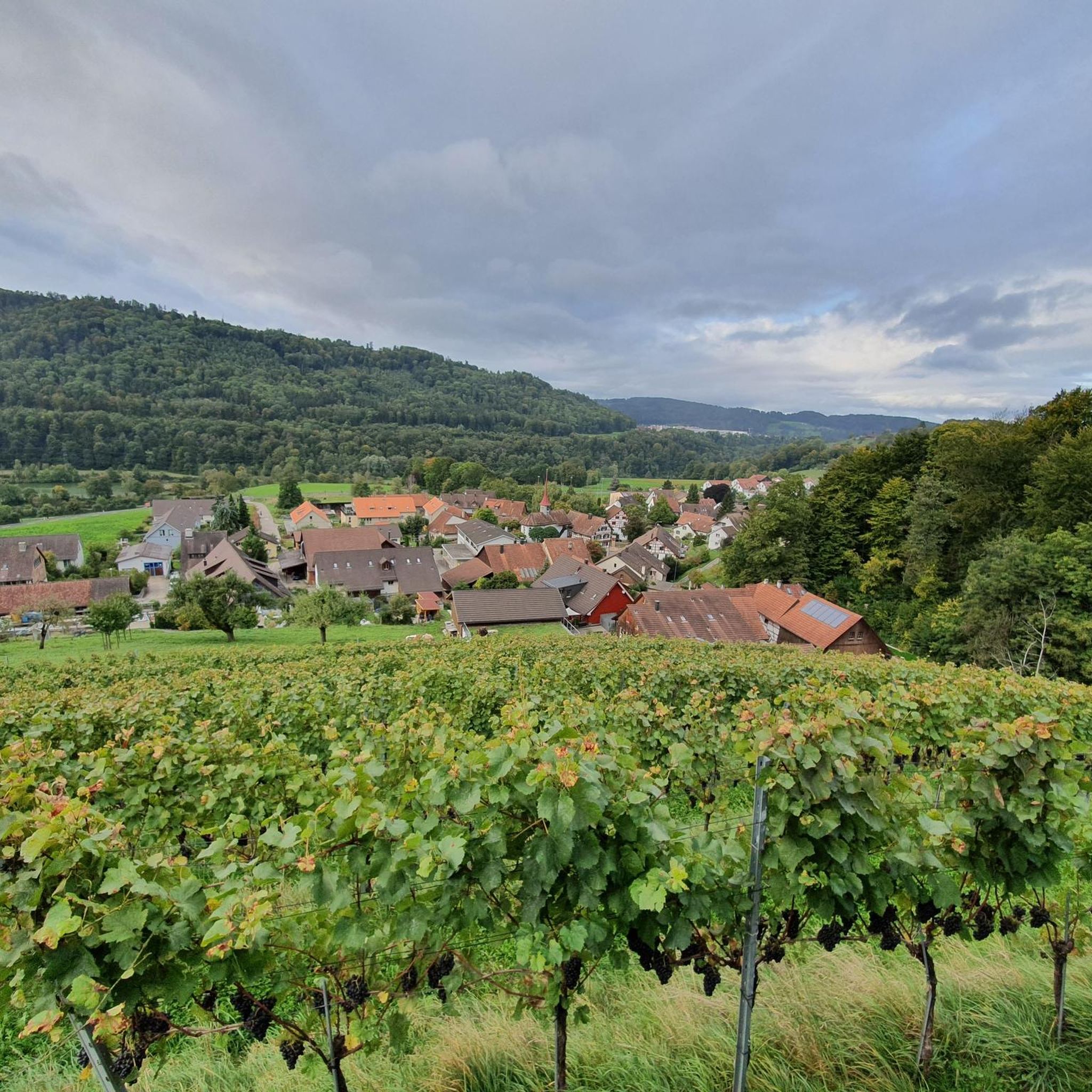
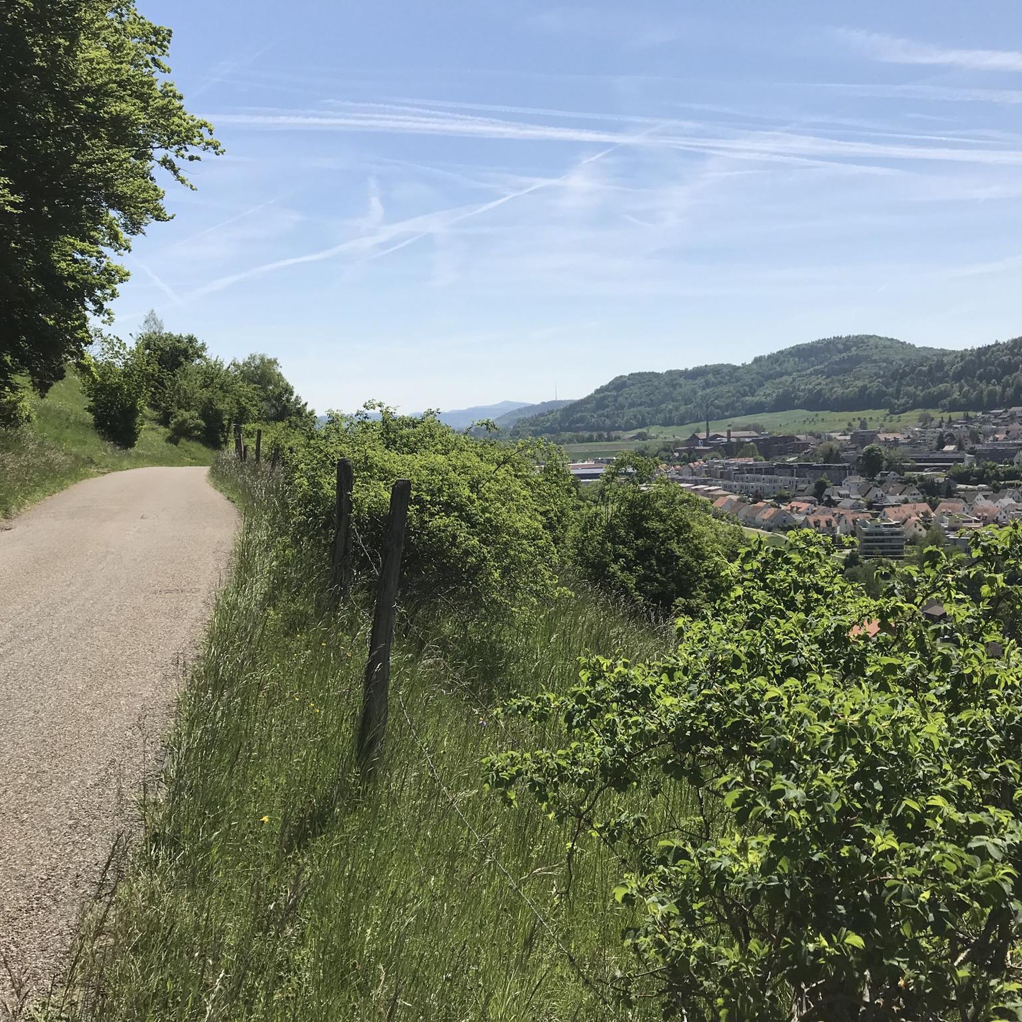
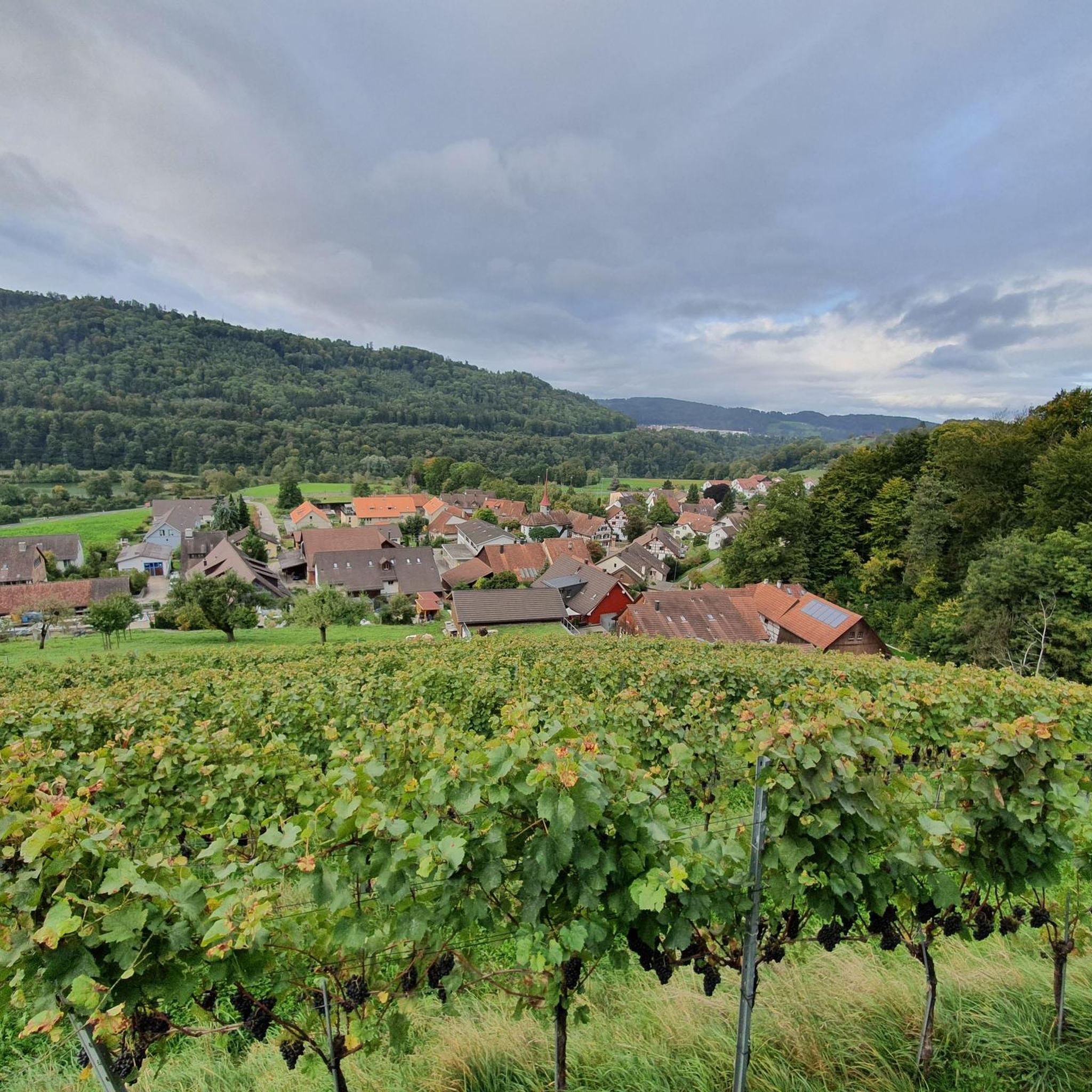
Gravel biking around Dättlikon offers diverse terrain across the lower Töss Valley and the Irchel elevation. The region features significant forested areas and agricultural lands, providing a network of gravel and dirt roads. Cyclists can navigate varied topography, from challenging ascents and descents in the Irchel area to more gentle routes along the Töss River. These paths often traverse through forests, fields, and vineyards, offering a mix of surfaces suitable for gravel bikes.
Best gravel bike trails around Dättlikon
- The…
Last updated: July 2, 2026
13
riders
85.7km
05:10
910m
900m
Hard gravel ride. Very good fitness required. Mostly paved surfaces. Suitable for all skill levels.
3.0
(3)
11
riders
36.6km
02:50
690m
690m
Hard gravel ride. Very good fitness required. Mostly paved surfaces. Suitable for all skill levels.

Sign up for free
14
riders
25.7km
01:59
500m
500m
Hard gravel ride. Very good fitness required. Mostly paved surfaces. Suitable for all skill levels.
8
riders
45.2km
02:50
560m
560m
Hard gravel ride. Very good fitness required. Mostly paved surfaces. Suitable for all skill levels.
4.0
(2)
15
riders
86.6km
05:17
1,160m
1,160m
Hard gravel ride. Very good fitness required. Mostly paved surfaces. Suitable for all skill levels.
Get access to more routes and recommendations from other explorers.
Sign up for free
Already have an account?
Our route recommendations are based on thousands of hikes, rides, and runs completed by other people on komoot.
Start today with a free account
Your next adventure awaits.
Login or Signup
Tips from the Community


A huge, impressive waterfall that is definitely worth visiting.
1
0

I have this experience every time I'm on the Goldenberg trail. There are countless little streets, countless paths, countless hiking trails, and the Vita-Parcours trail across the valley. But I've always found my way home... sometimes it takes longer. The fact is, I discover something new every time, and I can't find what I've already discovered!
0
0

Crossing in one-way traffic… Cars and pedestrians share the road here… so ⚠️
8
1
One of the largest waterfalls in Europe… unfortunately, like many places, currently experiencing water shortages
6
0

Only open on weekends, but then lovingly looked after.
0
0

where the Rhine is not a state border.
0
0

Shortly after its confluence with the Thur, the Rhine forms a magnificent loop in the middle of nature. The river is never as beautiful as when it undulates through the landscapes.
1
0
Frequently Asked Questions
What kind of terrain can I expect on gravel bike trails around Dättlikon?
The Dättlikon area offers a diverse mix of terrain. You'll find challenging ascents and descents in the Irchel elevation, along with more gentle routes winding through the Töss Valley. The region is rich in forested and agricultural lands, providing a network of gravel and dirt roads, as well as paved sections, often separate from vehicular traffic. Expect a blend of scenic paths through forests, fields, and vineyards.
How many gravel bike trails are available in Dättlikon?
There are over 170 gravel bike trails available around Dättlikon, catering to various skill levels. This includes 9 easy routes, 96 moderate routes, and 72 difficult routes, ensuring options for every gravel biker.
Are there any family-friendly gravel biking options in Dättlikon?
While many routes in the Irchel elevation are quite challenging, the Töss Valley offers more gentle paths that are often suitable for families. These routes typically follow the river through picturesque forests and fields, providing a more relaxed riding experience on a mix of paved and well-maintained gravel surfaces.
What are some notable natural features or landmarks I can see along the gravel bike routes?
The region boasts several natural and historical highlights. You can encounter beautiful waterfalls like the Affenschlucht Waterfall or the Wespi Mill and the Töss Waterfall. For panoramic views, routes often lead to viewpoints such as the Irchel Tower or Hochwacht Irchel. The scenic Rhine at Eglisau and the Thur Bridge near Andelfingen are also popular points of interest.
Are there any circular gravel bike routes in the Dättlikon area?
Yes, many of the gravel bike routes around Dättlikon are designed as loops. For example, the difficult Irchel Tower – Hochwacht Irchel viewpoint loop from Pfungen is a popular circular option exploring the Irchel elevation. Another challenging loop is the Eulachersteg – Walche Pond loop from Pfungen, which covers about 44.7 km.
What do other gravel bikers say about the trails in Dättlikon?
The gravel biking routes in Dättlikon are highly regarded by the komoot community, with an average score of 4.3 stars from over 190 reviews. Many riders praise the varied terrain, from challenging climbs to serene river paths, and the beautiful natural scenery, including forests, fields, and vineyards.
What is a good route for experienced gravel bikers looking for a challenge?
Experienced gravel bikers seeking a significant challenge might enjoy the Rheinau Covered Bridge – Rhine Falls loop from Pfungen. This difficult route spans 85 km and includes nearly 900 meters of elevation gain, offering extensive riding through varied landscapes and connecting significant regional landmarks.
Can I access gravel bike trails in Dättlikon using public transport?
Dättlikon is located in the canton of Zurich, Switzerland, which generally has good public transport connectivity. While specific trailheads might require a short ride from a station, many routes are accessible from towns like Pfungen, which are served by public transport. It's advisable to check local train and bus schedules for the most convenient access points to your chosen route.
Are there any routes that offer scenic viewpoints?
Absolutely. The Irchel elevation is known for its scenic viewpoints. The Hochwacht Irchel viewpoint – Irchel Tower loop from Pfungen is a great option, specifically designed to take you to elevated spots like Hochwacht Irchel and the Irchel Tower, offering expansive views of the surrounding landscape.
What is the best time of year for gravel biking in Dättlikon?
The diverse landscape of Dättlikon makes it enjoyable for gravel biking across multiple seasons. Spring and autumn offer pleasant temperatures and vibrant scenery, with changing foliage or blooming fields. Summer is also great, especially for rides along the Töss River where shade can be found. Winter conditions can vary, with some trails potentially becoming muddy or icy, especially at higher elevations.
Are there any long-distance gravel routes available?
Yes, for those looking for longer rides, the Dättlikon area offers several extensive routes. The Rheinau Covered Bridge – View of the Rhine Falls loop from Pfungen is a challenging 87.1 km route with over 1100 meters of elevation gain, providing a full day's adventure through varied terrain and past significant sights.
Most popular attractions around Dättlikon

Get inspired with the komoot mobile app


Explore more
Browse the best Gravel rides in other regions.
