The best walks and hikes around Dättlikon
4.6
(618)
3,945
hikers
16
hikes
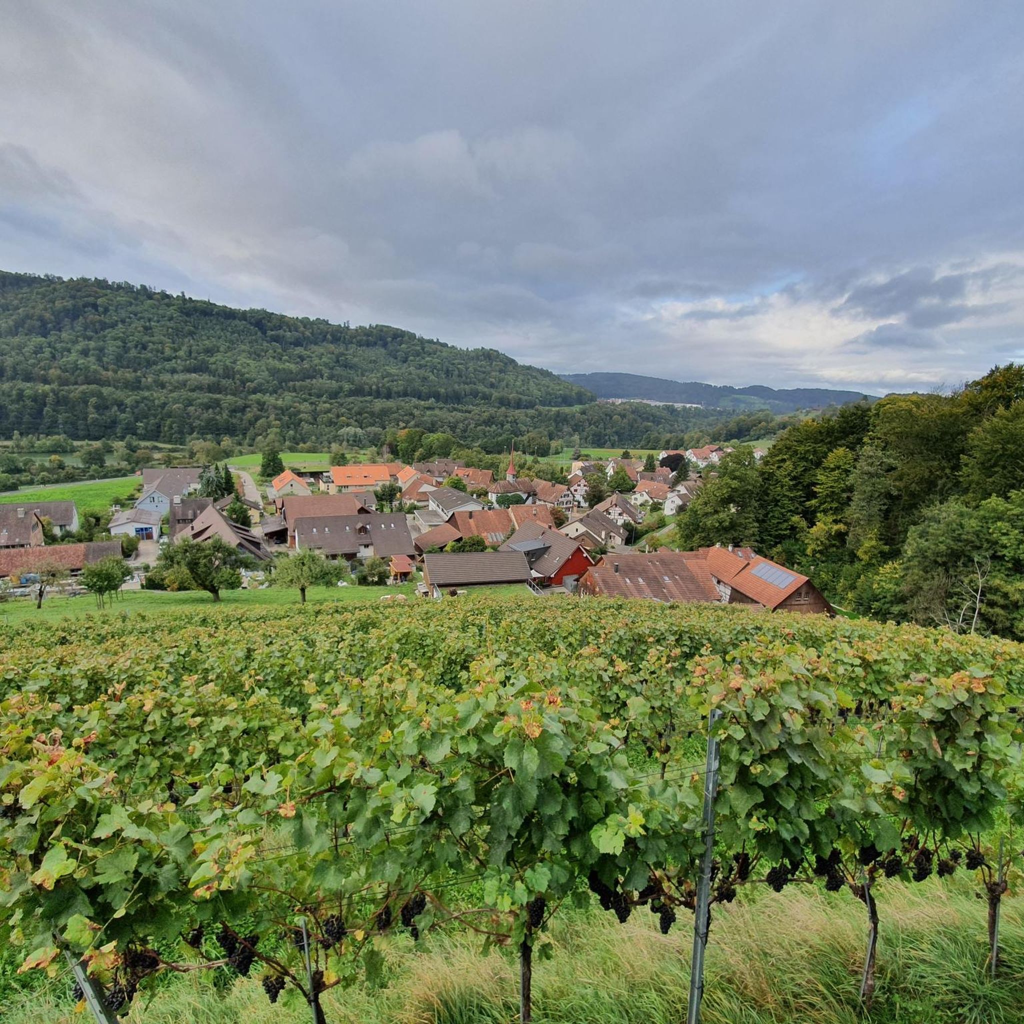
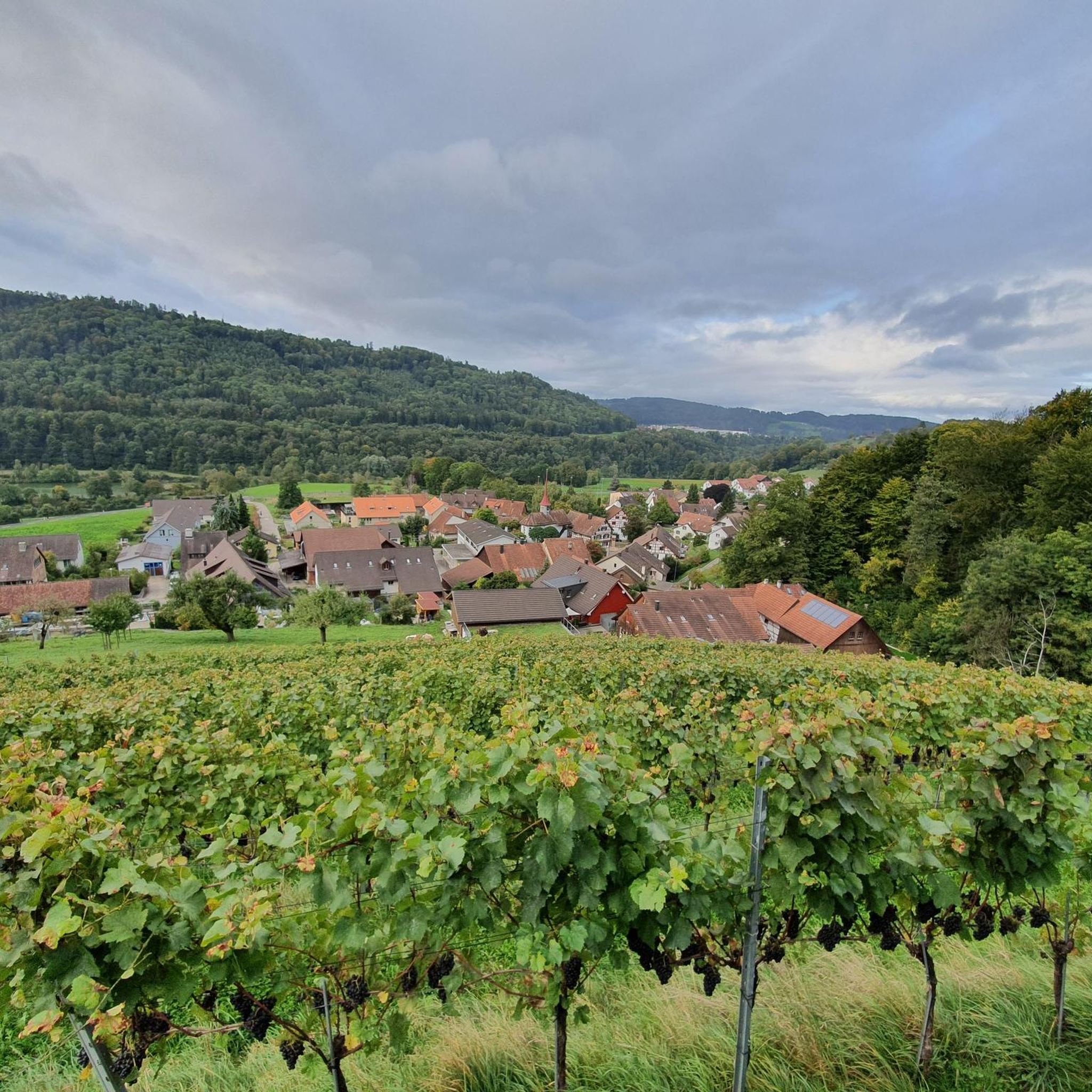
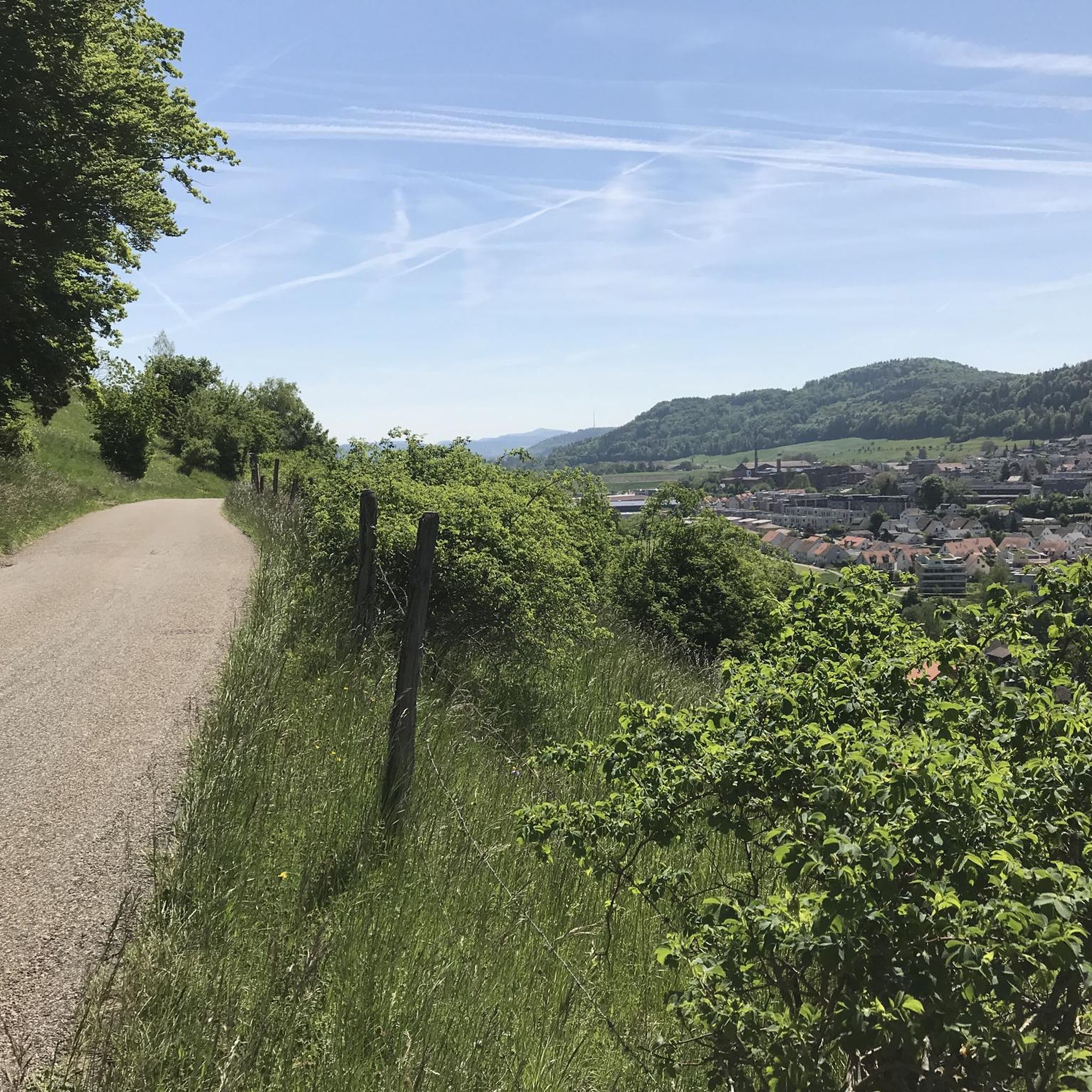
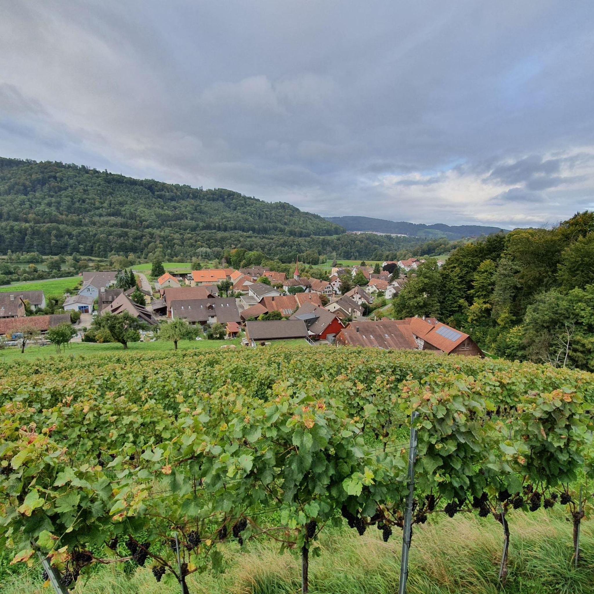
Hiking around Dättlikon offers diverse landscapes, with 45.7% forested land and 43% agricultural areas providing varied environments for exploration. The region is situated on the southern terrace of the Irchel elevation, with the Töss Valley forming a central landscape element. Hikers can experience a mix of wooded paths, open fields, and riverside routes along the Töss River. This combination of natural features makes Dättlikon an excellent destination for outdoor activities.
Best hiking trails around Dättlikon
- The most popular hiking route…
Last updated: October 4, 2026
5.0
(1)
13
hikers
7.48km
01:59
80m
70m
Easy hike. Great for any fitness level. Easily-accessible paths. Suitable for all skill levels.
4.3
(4)
20
hikers
10.8km
02:50
80m
80m
Moderate hike. Good fitness required. Easily-accessible paths. Suitable for all skill levels.

9
hikers
4.38km
01:10
50m
50m
Easy hike. Great for any fitness level. Easily-accessible paths. Suitable for all skill levels.
5.0
(2)
8
hikers
4.57km
01:18
100m
100m
Easy hike. Great for any fitness level. Easily-accessible paths. Suitable for all skill levels.
4.5
(2)
9
hikers
4km
01:09
100m
100m
Easy hike. Great for any fitness level. Easily-accessible paths. Suitable for all skill levels.
Get access to more routes and recommendations from other explorers.
Already have an account?
Our route recommendations are based on thousands of hikes, rides, and runs completed by other people on komoot.
Start today with a free account
Your next adventure awaits.

Tips from the Community


Beautiful castle; unfortunately not public. The view over Pfungen and the valley is magnificent. Please go all the way around the castle go - There are a lot of beautiful "little things" to discover ♡ on the left side there are farm buildings with a small, very nice garden area.
0
0


Beavers at work and information about small beaver dens on the footpath in the nature reserve
1
0

Incredible castle built in the years 1889 to 1894 by a local entrepreneur, from the Sulzer family
1
0

Looks a bit like Neuschwanstein Castle. But a place to visit.
1
0

Based on Neuschwanstein Castle? In any case, not very successful and somehow strange here... Wart Castle is one of the youngest in the canton.
1
0

Frequently Asked Questions
What types of hiking trails can I expect around Dättlikon?
Dättlikon offers a diverse landscape for hiking, characterized by 45.7% forested land and 43% agricultural areas. You'll find a mix of wooded paths, open fields, and riverside routes along the Töss River, providing varied scenery for your walks.
Are there any easy hiking trails suitable for beginners or families in Dättlikon?
Yes, Dättlikon has several easy trails perfect for beginners or families. For example, the Gravel Path Near Zurich loop from Dättlikon is an easy 5.1 km route. Another accessible option is the Tössfeldstrasse Dam – Wart Castle Site loop from Dättlikon, which is 4.6 km long and also rated easy.
What natural features or landmarks can I see on a hike in Dättlikon?
Hikers in Dättlikon can discover several notable natural features and historical sites. A prominent natural highlight is the Affenschlucht Waterfall. Many routes also pass by the historical Wart Castle site. You can also explore the Töss Riverbank and the scenic Hinterrumstal Valley.
Are there any circular hiking routes in Dättlikon?
Yes, Dättlikon is well-suited for circular hikes. Many popular routes are loops, allowing you to start and end at the same point. Examples include the Tössfeldstrasse Dam – Wart Castle loop from Dättlikon and the Affenschlucht Waterfall – Wart Castle loop from Dättlikon.
What is the best time of year to go hiking in Dättlikon?
The region around Dättlikon is enjoyable for hiking throughout much of the year. Spring and autumn offer pleasant temperatures and beautiful scenery with blooming flora or vibrant fall colors. Summer is also great, especially for shaded forest paths, while winter can provide unique snowy landscapes, though some paths might require more sure-footedness.
How many hiking trails are available in the Dättlikon area?
There are nearly 20 hiking trails available around Dättlikon, offering a variety of options for different preferences and fitness levels. The komoot community has explored these routes over 3,800 times.
What do other hikers say about the trails in Dättlikon?
The hiking trails in Dättlikon are highly regarded by the komoot community, holding an average rating of 4.6 stars from over 500 reviews. Hikers often praise the diverse landscapes, the mix of forest and open fields, and the well-maintained paths that lead to natural highlights like the Affenschlucht Waterfall.
Are there any hikes that feature a waterfall in Dättlikon?
Absolutely! The Affenschlucht Waterfall – Wart Castle loop from Dättlikon is a popular moderate trail that specifically features the impressive Affenschlucht Waterfall as a key highlight.
What is the general difficulty level of hiking trails in Dättlikon?
Dättlikon offers trails for various fitness levels. The majority of routes are classified as easy, with 11 out of 17 trails falling into this category. There are also 6 moderate trails for those seeking a bit more challenge, but no difficult routes are listed, making it accessible for most hikers.
Are there any trails that offer viewpoints or scenic vistas?
While specific named viewpoints aren't explicitly detailed for every trail, the varied terrain of Dättlikon, with its mix of forested areas and open fields along the Irchel elevation and Töss Valley, naturally provides numerous scenic vistas. Trails that climb slightly, such as the Breitmatthütte Dittlheim loop from Dättlikon, often offer broader views of the surrounding landscape.
Can I reach the hiking trails in Dättlikon using public transport?
Dättlikon is a municipality in the canton of Zürich, Switzerland, and generally, Swiss public transport is excellent. While specific bus stops or train stations directly at trailheads are not detailed here, it's common for trail access points in the region to be reachable via local bus services connecting to larger transport hubs. We recommend checking local public transport schedules for connections to Dättlikon.
Most popular routes around Dättlikon
Most popular attractions around Dättlikon

Get inspired with the komoot mobile app


Explore more
Browse the best Hikes in other regions.
