Attractions and Places To See in the Sierra de Juarez - Top 5
Best attractions and places to see in the Sierra de Juarez are primarily located in the Baja California region, a mountain range known for its unique pine-oak forests and desert landscapes. This area encompasses Constitution 1857 National Park, featuring Laguna Hanson and diverse ecosystems. The Sierra de Juarez offers significant topographical variations, providing a range of outdoor activities. It serves as the southern terminus for the Pacific Crest Trail, attracting hikers and outdoor enthusiasts.
Best attractions and places to see…
Last updated: May 14, 2026
Pacific Crest Trail Southern Terminus
Highlight • Trail
Tip by

Burnt Trail
Highlight • Trail
Translated by Google •
Tip by

Sign up now to discover places like this
Get recommendations on the best single tracks, peaks, & plenty of other exciting outdoor places.
Sign up for free
Camp Lockett Event and Equestrian Facility (CLEEF) Campground
Highlight • Rest Area
Tip by

La Banquita
Highlight • Viewpoint
Translated by Google •
Tip by

Abandoned house shelter
Highlight • Mountain Hut
Tip by

Start today with a free account
Your next adventure awaits.
Login or Signup
Popular around Sierra de Juarez




Tips from the Community

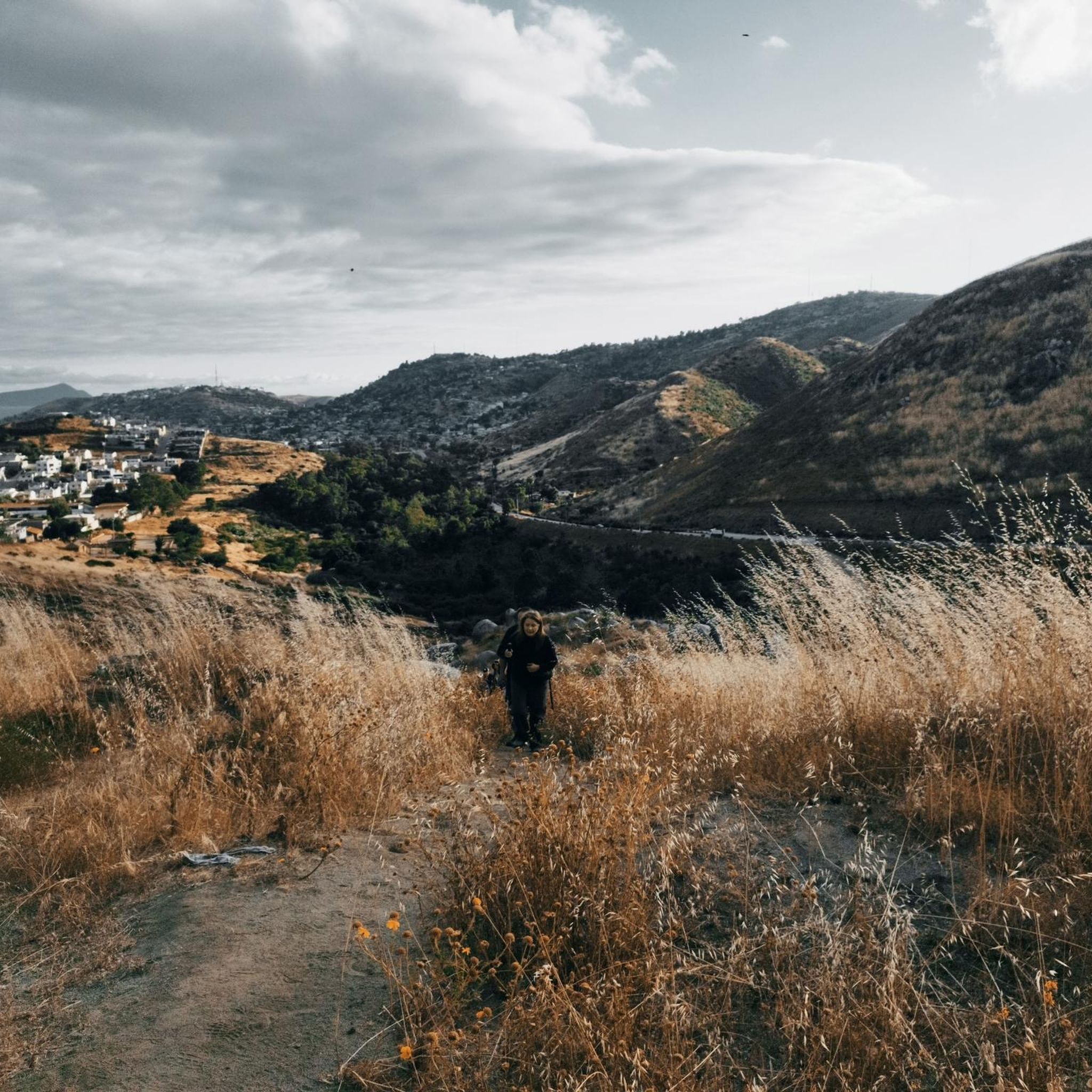
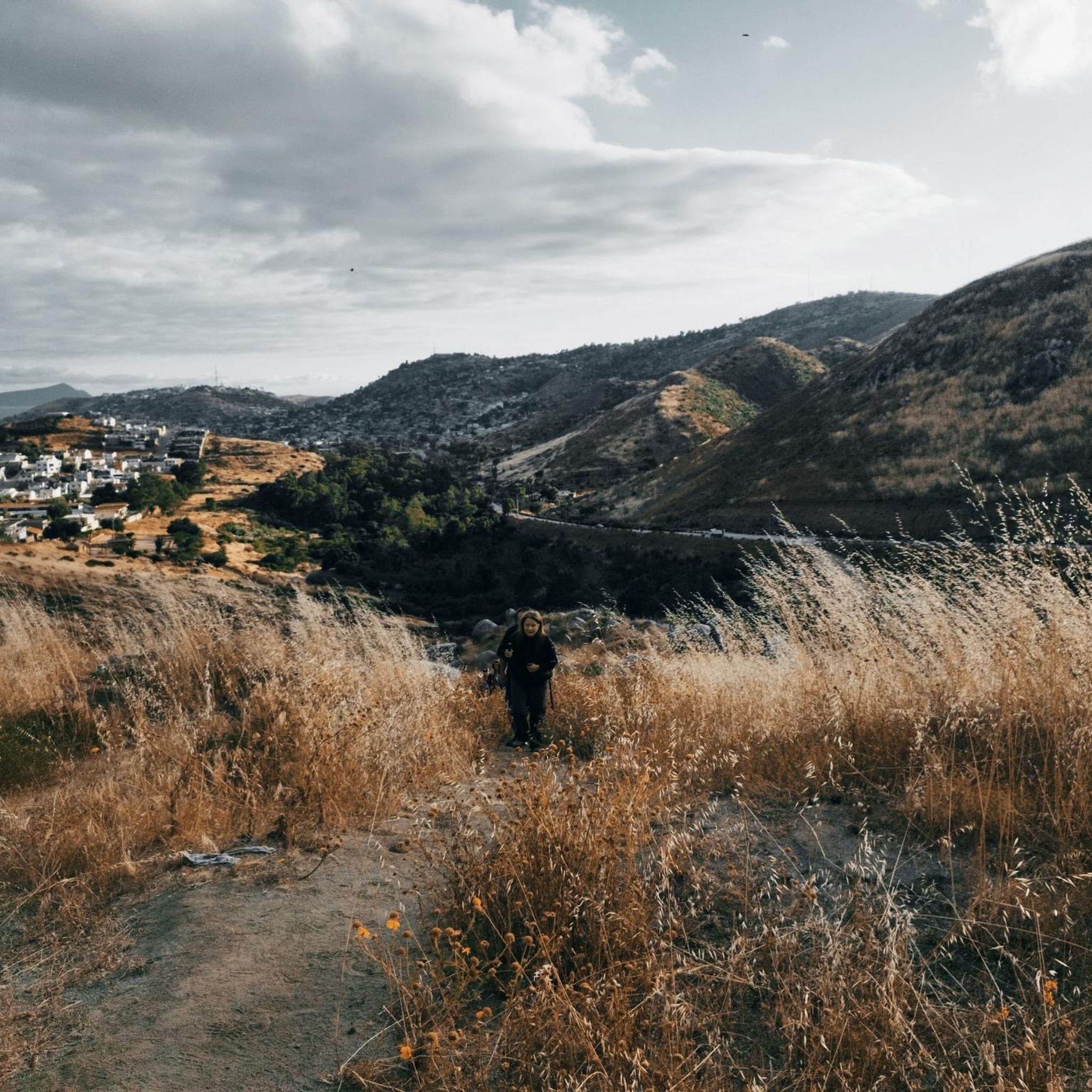
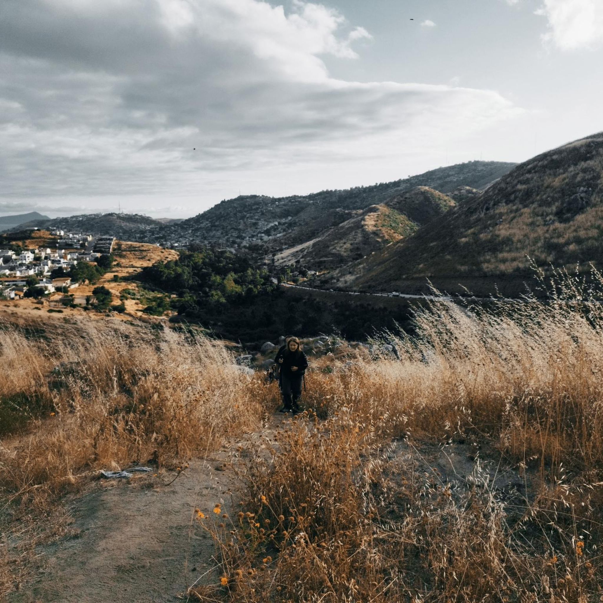
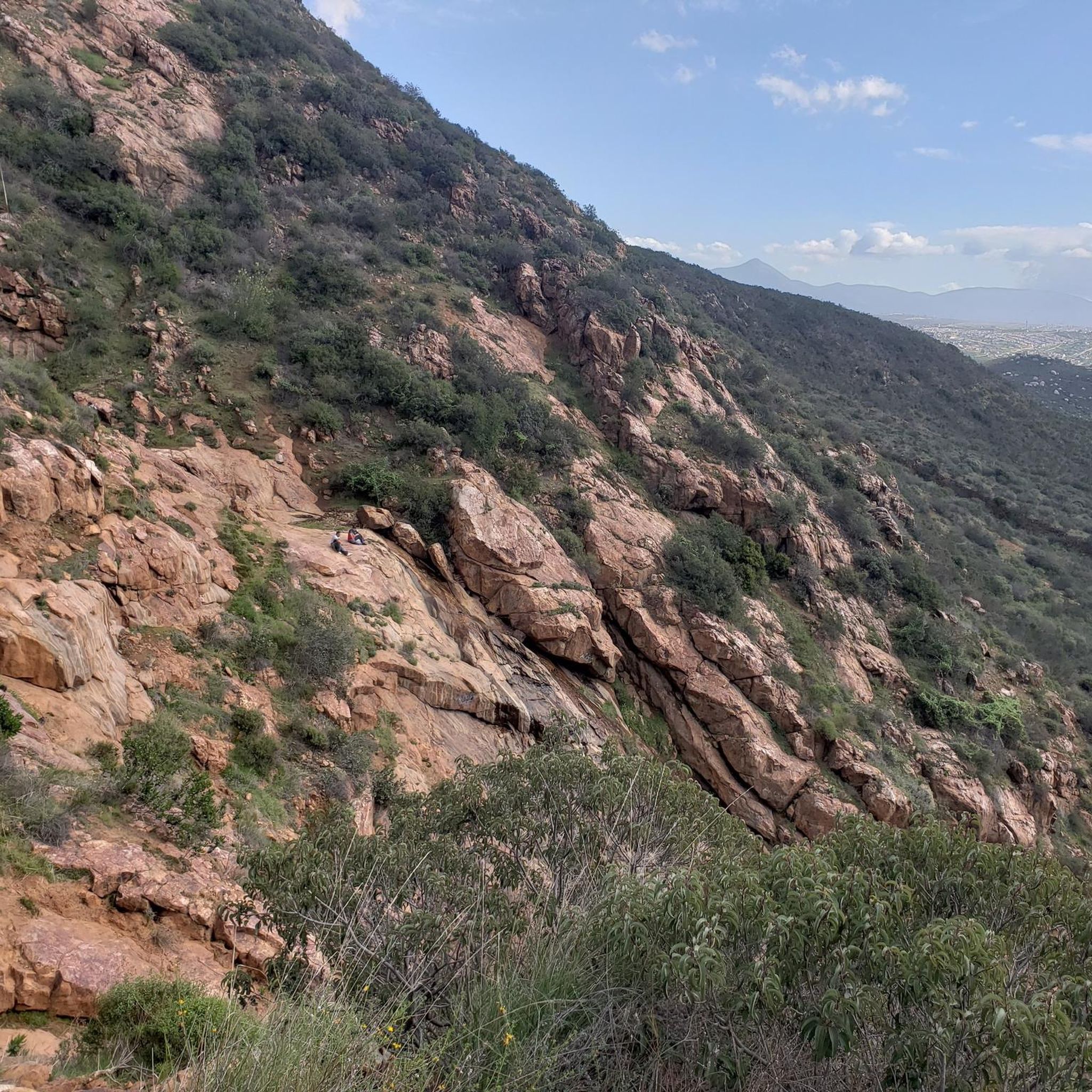
This fork in the road leads you to a bench in the middle of nowhere from where you can enjoy the views.
0
0

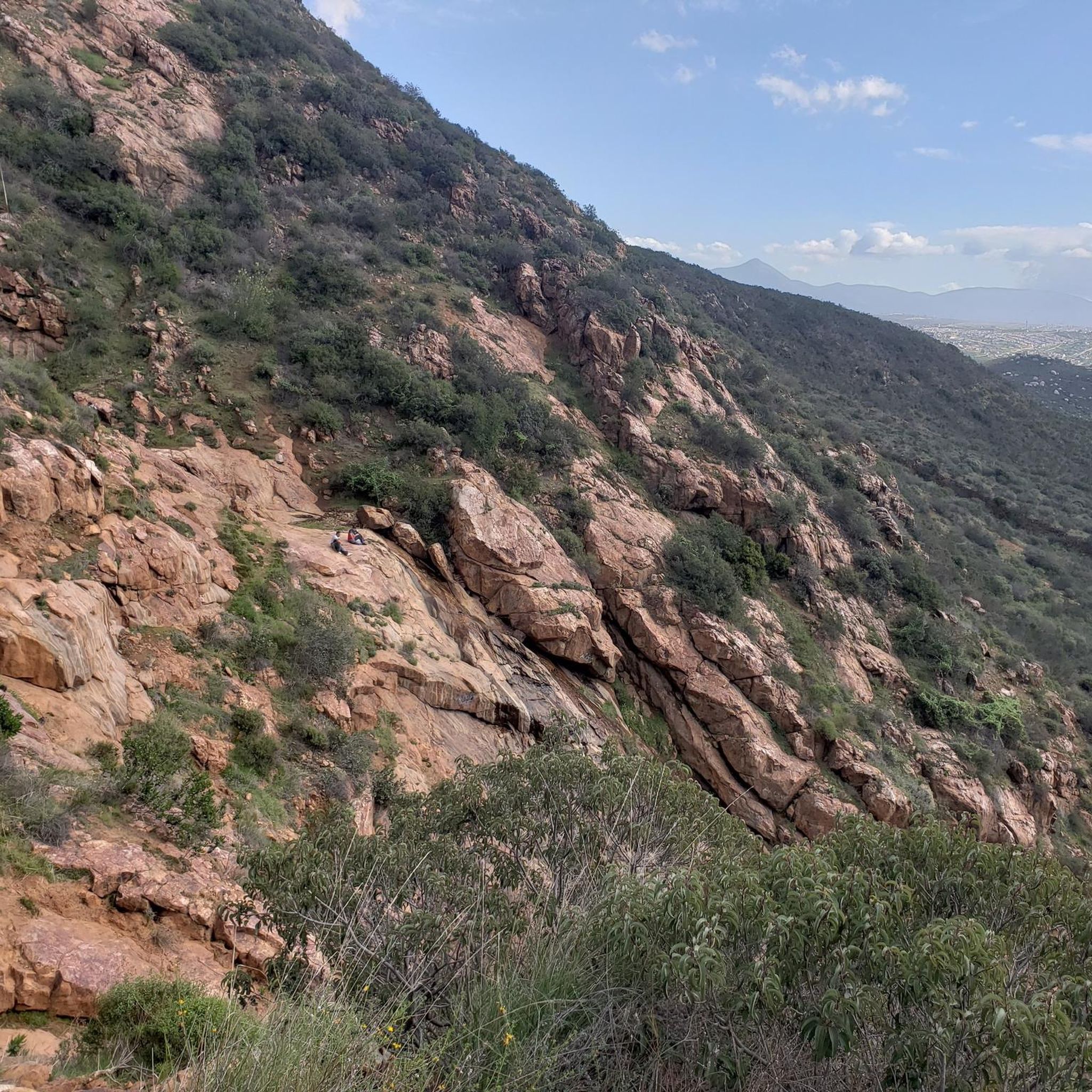
From the bench at the top of the mountain, the views are simply breathtaking. You can gaze at the surrounding peaks that rise majestically.
0
0

CLEEF stands for Camp Lockett Event and Equestrian Facility. The facilities which have been expanded during the last years are located on 167 acres of property in the mountainous area of southeast San Diego County, approximately 1/4 mile from the trailhead for the Pacific Crest Trail. CLEEF serves as an ideal location for travelers embarking on the famous 2200 mile trek. https://campocleef.org/about-cleef
3
0
An iconic place with contradictions. The PCT's southern start/end point steles stand directly next to the oversized border fence with Mexico. The vast majority of thru-hikers begin their multi-month adventure north here, usually with a photo taken at the steles. A trail log is tucked between the steles, where you can sign your name. Information on how to get to the starting point can be found at: https://www.pcta.org/discover-the-trail/backcountry-basics/pct-transportation/directions-southern-terminus-pct/ https://pctsouthernterminusshuttle.com/
3
0

The Cleef Campground with Papa Bear is legendary - the breakfast is delicious and the toilets (2 minutes walk) in the trailer are clean.
1
0


Quiet place to spend the night. The abandoned house has an outside space to set up two tents and sleep on solid ground.
0
0

This is the Southern Terminus of the 2,650-mile Pacific Crest Trail on the border to Mexico. To get here, take the bus Route 992 from the San Diego Airport to downtown San Diego. Then, take the "Orange Line" trolley to the El Cajon Transit Center. The "Southeastern Rural Route bus" departs the center only once or twice in the afternoon. The ride to Campo takes around two hours where you can buy some last supplies. The Southern Terminus is just a mile to hike from the bus stop.
11
4
Frequently Asked Questions
What natural features can I explore in the Sierra de Juarez?
The Sierra de Juarez in Baja California is known for its unique pine-oak forests, including species like Jeffrey, Parry Piñon, lodgepole, and sugar pine. You can also find desert flora such as the California Fan Palm at lower elevations. A significant natural feature is La Banquita, which offers breathtaking views of the surrounding peaks.
Are there good hiking opportunities in the Sierra de Juarez?
Yes, the Sierra de Juarez offers a variety of hiking routes suitable for different fitness levels. It is notably the southern terminus for the Pacific Crest Trail. You can find trails like Burnt Trail, which leads to a bench with scenic views, and the iconic Pacific Crest Trail Southern Terminus itself.
What is the Pacific Crest Trail Southern Terminus?
The Pacific Crest Trail Southern Terminus marks the beginning of the 2,650-mile Pacific Crest Trail on the border with Mexico. It's an iconic spot where the trail's start/end point steles stand near the border fence, and many thru-hikers begin their journey here.
Are there any family-friendly facilities or activities in the Sierra de Juarez?
Yes, the Camp Lockett Event and Equestrian Facility (CLEEF) Campground is a family-friendly facility located near the trailhead for the Pacific Crest Trail. It serves as an ideal location for travelers and offers amenities for those embarking on the famous trek.
Where can I find scenic views in the Sierra de Juarez?
For panoramic views, visit La Banquita, where a bench at the top of the mountain provides breathtaking vistas of the surrounding peaks. The Burnt Trail also leads to a bench offering views of the landscape.
Is there a national park in the Sierra de Juarez?
Yes, a portion of the Sierra de Juarez in Baja California is protected within the Constitution 1857 National Park. This park is approximately 72 kilometers east of Ensenada and features Laguna Hanson, which is important for migratory birds.
What are some easy hiking trails in the Sierra de Juarez?
For easy hikes, you can explore routes like Kitchen Creek Falls Trail, Pacific Crest Trail: Southern Terminus through Campo, Mortero Palms Loop Trail, Smugglers Cave Trail, and Morena Lake Trail. You can find more details and routes in the Easy hikes in the Sierra de Juarez guide.
What outdoor activities are available besides hiking in the Sierra de Juarez?
Beyond hiking, the Sierra de Juarez offers opportunities for running and road cycling. You can find various running trails, including Otay Mountain Truck Trail and Tecate Peak Trail, in the Running Trails in the Sierra de Juarez guide. For road cycling, routes like Otay Reservoir Dam loops are available in the Road Cycling Routes in the Sierra de Juarez guide.
What do visitors enjoy most about the attractions in the Sierra de Juarez?
Visitors appreciate the unique natural landscapes, especially the pine-oak forests and desert flora. The iconic Pacific Crest Trail Southern Terminus is a popular highlight, and facilities like Camp Lockett Event and Equestrian Facility (CLEEF) Campground are valued for their convenience for outdoor enthusiasts.
When is the best time to visit the Sierra de Juarez for outdoor activities?
The Sierra de Juarez experiences varying temperatures. While the higher elevations feature pine-oak forests, the eastern slopes are part of the Sonoran Desert. It's advisable to consider the season, as lower elevations can be hot, and higher areas can be cold, especially in winter. For specific trail conditions, checking local weather is recommended.
Are there any unique natural phenomena in the Sierra de Juarez?
The Sierra de Juarez marks the southern tip of the Great Basin Divide, making it a triple watershed point for the Great Basin, Pacific Ocean, and Gulf of California. This unique geographical feature contributes to the diverse ecosystems found in the region, from pine-oak forests to desert flora.
Where can I find accommodation or facilities near the trails?
The Camp Lockett Event and Equestrian Facility (CLEEF) Campground is a well-known facility located very close to the Pacific Crest Trail trailhead. It provides an ideal base for hikers. Additionally, the Abandoned house shelter offers a quiet place to spend the night, with an outside space for tents.
Most popular routes in the Sierra de Juarez

Get inspired with the komoot mobile app


