The best walks and hikes in the Sierra de Juarez
4.9
(13)
187
hikers
10
hikes
Hiking in the Sierra de Juarez offers diverse landscapes across its two main regions in Baja California and Oaxaca, Mexico. The area is characterized by extensive pine and oak forests, deep ravines, and rugged mountains, with some higher elevations featuring mist-covered cloud forests. Hikers can explore varied ecosystems, including significant biodiversity and unique flora like agave plants and purple thistle blossoms. The terrain includes steep slopes, valleys, and rivers, providing a range of natural features for outdoor exploration.
Best hiking trails in the Sierra de Juarez
- The most popular hiking route is Pacific Crest Trail: Southern Terminus through Campo, a 2.3 miles (3.7 km) trail that takes 1 hour to complete. This easy path offers an accessible introduction to the region's trails.
- Another top favourite among local hikers is Rancho Casian – Ida y vuelta, a moderate 7.0 miles (11.3 km) path. This route provides views of the varied terrain around Rancho Casian.
- Local hikers also love the Cerro el Coronel loop from Terrazas del Mar, a 4.0 miles (6.5 km) trail leading through mountain landscapes, often completed in about 2 hours 17 minutes.
- Hiking in the Sierra de Juarez is defined by pine and oak forests, rugged mountains, and deep valleys. The network offers options for different ability levels, from easy walks to more challenging routes.
- The routes in Sierra de Juarez are highly rated by the komoot community with an average score of 5.0 stars from over 10 reviews. More than 150 hikers have used komoot to explore Sierra de Juarez's varied terrain.
Last updated: May 12, 2026
5.0
(1)
2
hikers
3.66km
01:00
10m
140m
Hike the easy 2.3-mile Pacific Crest Trail: Southern Terminus through Campo, gaining 41 feet in 1 hour, starting at the iconic monument.
2.91km
00:57
200m
30m
Hike the 1.8-mile Smugglers Cave Trail in Jacumba Wilderness, an easy route with 643 feet of gain, exploring desert rock formations and a hi

Sign up for free
5.0
(4)
19
hikers
11.3km
03:26
370m
370m
Moderate hike. Good fitness required. Easily-accessible paths. Suitable for all skill levels.
2
hikers
24.2km
07:20
770m
770m
Hike the challenging 15.1-mile Circular de Rancho Casian a Mesa Redonda loop in Baja California, gaining 2517 feet with ocean views.
2.48km
00:38
10m
10m
Embark on an easy hike through the Paseo por el Parque de la Amistad, a family-friendly recreational park perfect for a leisurely stroll. This route covers 1.5 miles (2.5 km) with a minimal elevation gain of just 23 feet (7 metres), taking approximately 37 minutes to complete. You'll find the terrain generally flat, consisting of compacted, even soil paths that are easy to navigate for all ages and fitness levels. As you walk, you can enjoy diverse scenery, including lush gardens and green spaces. A prominent feature is the impressive Moorish Arch, a replica of a historical gift from Spain, which serves as a central landmark and offers picturesque photo opportunities. You can also admire the artificial lake, where pedal boat rides are available.
Planning your visit to Parque de la Amistad is straightforward, as it is designed for comfortable exploration and accessibility. The park is well-suited for families and visitors of all ages, offering a relaxed atmosphere for your walk. You will find various amenities within the park, including children's play areas and food stalls, making it easy to spend a pleasant afternoon. The park is also pet-friendly, so you can bring your furry companions along to enjoy the green spaces. Consider visiting during daylight hours to fully appreciate the scenery and attractions.
Beyond the walking paths, the park is notable for several unique features that enhance your experience. You can see El Arco Morisco, a 29-meter mosaic arch that symbolizes friendship and is a significant architectural landmark. For a fun diversion, consider a ride on "El Surcanito 237," a 1926 steam locomotive that offers rides around the park on 550 meters of railway tracks. The artificial lake also provides pedal boat rentals, offering a different perspective of the park's charm. Additionally, the Centro Cultural Augusto B. Leguía within the park may host various exhibits or activities.
5.0
(1)
11
hikers
2.73km
01:25
340m
340m
Moderate hike. Good fitness required. Easily-accessible paths. Suitable for all skill levels.
5.0
(3)
8
hikers
6.46km
02:16
340m
340m
Moderate hike. Good fitness required. Easily-accessible paths. Suitable for all skill levels.
9
hikers
2.72km
00:43
20m
20m
Easy hike. Great for any fitness level. Easily-accessible paths. Suitable for all skill levels.
5
hikers
4.64km
01:11
10m
10m
Easy hike. Great for any fitness level. Easily-accessible paths. Suitable for all skill levels.
5
hikers
4.38km
01:14
90m
90m
Easy hike. Great for any fitness level. Easily-accessible paths. Suitable for all skill levels.
Our route recommendations are based on thousands of hikes, rides, and runs completed by other people on komoot.
Start today with a free account
Your next adventure awaits.
Login or Signup




Tips from the Community

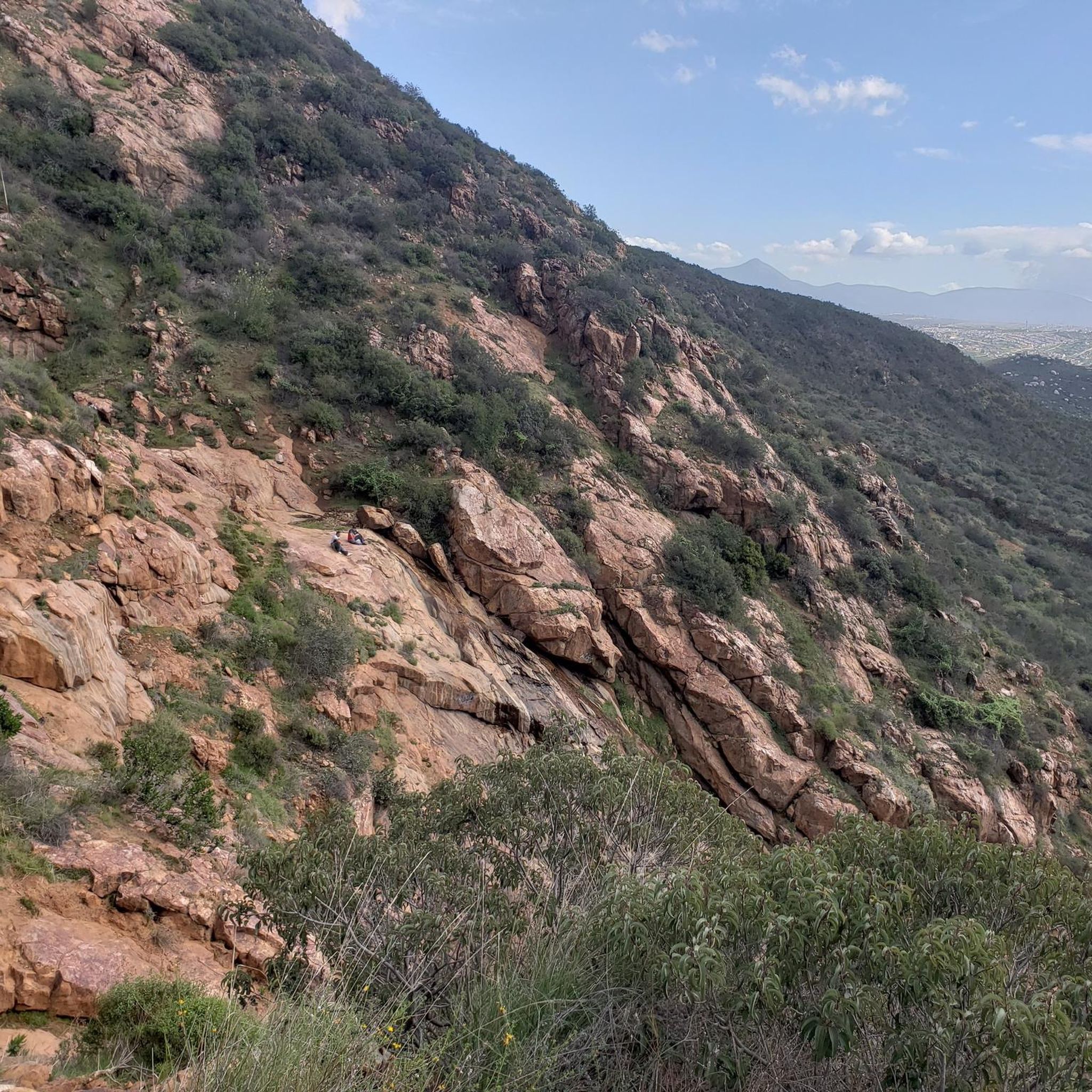
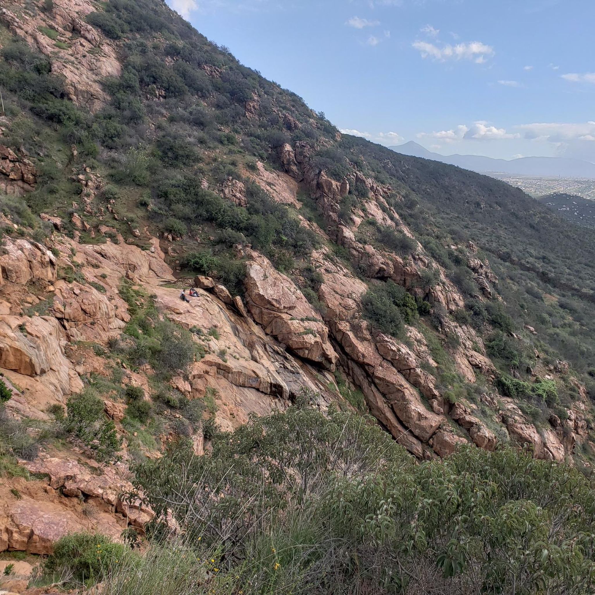
The summit of Mesa Redonda is a flat plateau on the outskirts of Tijuana, known as La Meseta, near the ejido of the same name. It is accessed by informal 10- to 12-kilometer round-trip trails from arid areas dotted with ranches and canyons. It offers sweeping panoramic views of the Pacific Ocean and the city.
0
0
This fork in the road leads you to a bench in the middle of nowhere from where you can enjoy the views.
0
0

In the middle of Friendship Park lies this pretty little lake. You can sit by the water or walk along the path that loops around it.
0
0
Friendship Park is a lovely place for a city stroll. The circuit around the lake covers 1.5 kilometers.
0
0

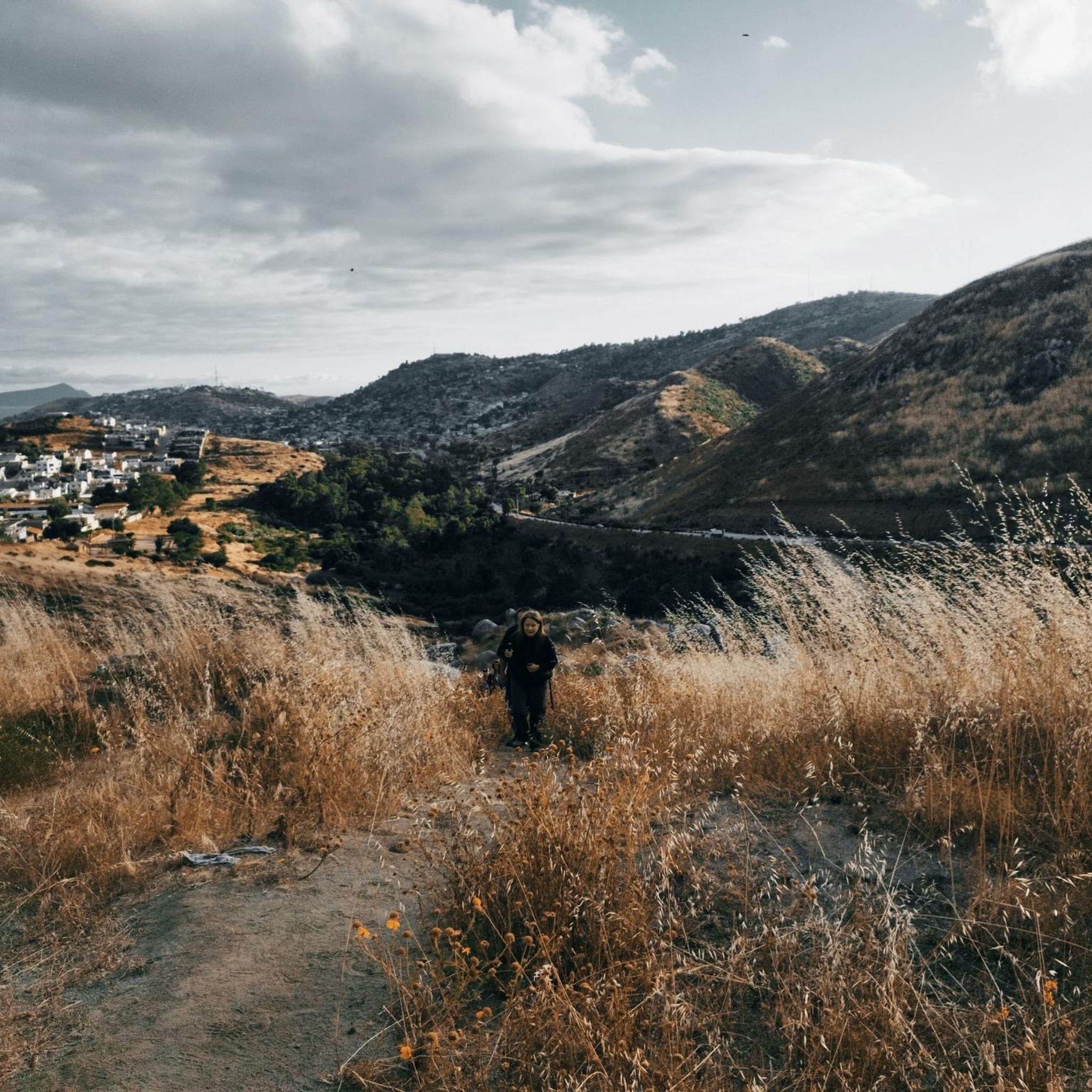
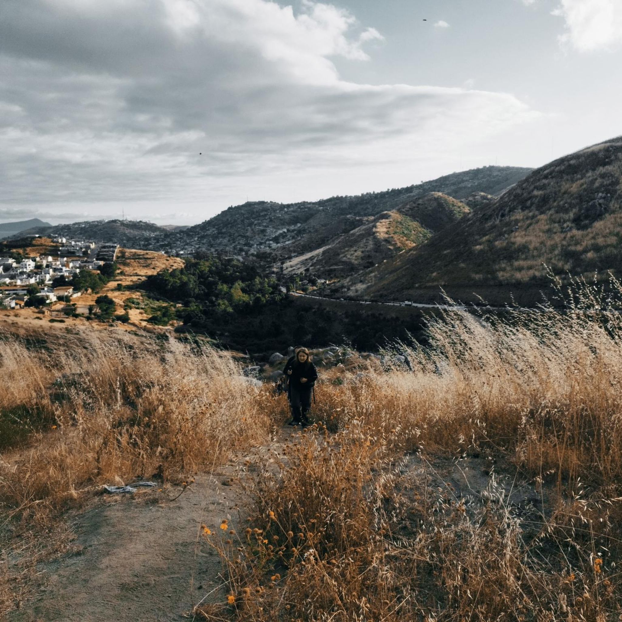
From the bench at the top of the mountain, the views are simply breathtaking. You can gaze at the surrounding peaks that rise majestically.
0
0

CLEEF stands for Camp Lockett Event and Equestrian Facility. The facilities which have been expanded during the last years are located on 167 acres of property in the mountainous area of southeast San Diego County, approximately 1/4 mile from the trailhead for the Pacific Crest Trail. CLEEF serves as an ideal location for travelers embarking on the famous 2200 mile trek. https://campocleef.org/about-cleef
3
0
An iconic place with contradictions. The PCT's southern start/end point steles stand directly next to the oversized border fence with Mexico. The vast majority of thru-hikers begin their multi-month adventure north here, usually with a photo taken at the steles. A trail log is tucked between the steles, where you can sign your name. Information on how to get to the starting point can be found at: https://www.pcta.org/discover-the-trail/backcountry-basics/pct-transportation/directions-southern-terminus-pct/ https://pctsouthernterminusshuttle.com/
3
0

The Cleef Campground with Papa Bear is legendary - the breakfast is delicious and the toilets (2 minutes walk) in the trailer are clean.
1
0
Frequently Asked Questions
How many hiking trails are available in the Sierra de Juarez?
There are over 10 hiking trails documented in the Sierra de Juarez on komoot, offering a range of experiences from easy strolls to more challenging routes. The komoot community has rated these routes highly, with an average score of 5.0 stars.
What is the best time of year to go hiking in the Sierra de Juarez?
The Sierra de Juarez generally experiences a cool climate, transitioning from warm at lower elevations to temperate in mid-range areas, and semi-cold at higher altitudes. This makes hiking enjoyable for much of the year, though the specific best time can depend on the elevation and your preference for cooler or warmer conditions. The cloud forests at higher elevations are often mist-covered, creating a unique atmosphere.
Are there any family-friendly hiking options in the Sierra de Juarez?
Yes, the Sierra de Juarez offers several easy trails suitable for families. For instance, the Pacific Crest Trail: Southern Terminus through Campo is an easy 2.3-mile path, perfect for an accessible introduction to the region. In the Oaxaca region, the Pueblos Mancomunados offer community-based ecotourism with options for guided walks that can be tailored for families.
Can I bring my dog on the hiking trails in the Sierra de Juarez?
While many trails in natural areas are generally dog-friendly, it's always best to check specific regulations for national parks or ecotourism cooperatives like the Pueblos Mancomunados in Oaxaca. Some areas might require dogs to be on a leash, and others might have restrictions to protect local wildlife. Always ensure your dog is well-behaved and that you clean up after them.
Are there any circular hiking routes in the Sierra de Juarez?
Yes, there are several circular routes available. For example, the Cerro el Coronel loop from Terrazas del Mar is a moderate 4.0-mile trail that takes you through mountain landscapes. Another option is the Cañon El Salto loop from El Salto, an easy 1.7-mile path.
What kind of wildlife might I encounter while hiking?
The Sierra de Juarez is known for its impressive biodiversity. In the Oaxaca region, you might spot some of the approximately 400 bird species or 350 butterfly species. The forests are home to various mammals, though they can be shy. In Baja California, particularly around Constitution 1857 National Park, Laguna Hanson is an important stopover for migratory birds. Always observe wildlife from a distance and avoid disturbing their natural habitats.
Are there any notable viewpoints or landmarks along the trails?
Absolutely. In the Baja California region, the Pacific Crest Trail Southern Terminus is a significant landmark. You can also find scenic spots like La Banquita, which offers great views. In Oaxaca, prominent peaks like Cerro San Felipe offer sweeping views, and Ixtlán de Juárez features a glass lookout with cloud forest views.
Do I need permits for hiking in the Sierra de Juarez?
For general hiking on established trails, permits are not typically required. However, if you plan to hike within specific protected areas like Benito Juárez National Park or engage in ecotourism activities with the Pueblos Mancomunados in Oaxaca, there might be entrance fees or requirements to hire local guides. It's advisable to check with local authorities or ecotourism centers for the most current information, especially for the Oaxaca region where community-based tourism is prevalent.
What are some options for public transport to access hiking areas?
Access to the Sierra de Juarez, particularly the Pueblos Mancomunados in Oaxaca, is often possible via public transport from Oaxaca City, typically by shared taxis (colectivos) or buses to larger towns like Ixtlán de Juárez, from where local transport or guides can be arranged. For the Baja California region, access usually involves private vehicles, though some areas might be reachable by local bus services from nearby cities like Tecate or Ensenada.
Where can I find parking at trailheads?
Parking availability varies by trailhead. In more developed areas or near popular attractions like Constitution 1857 National Park in Baja California, designated parking lots may be available. For the Pueblos Mancomunados in Oaxaca, villages often provide parking facilities for visitors participating in ecotourism activities. It's recommended to research specific trailheads or inquire with local tourism centers for parking information.
Are there any challenging or advanced hiking routes in the Sierra de Juarez?
Yes, for experienced hikers seeking a challenge, the Sierra de Juarez offers more difficult routes. The Rancho Casian to Mesa Redonda Loop is a difficult 15.1-mile trail that involves significant elevation changes and offers a demanding but rewarding experience. The rugged terrain with steep slopes and deep valleys provides ample opportunity for advanced exploration.
What kind of flora can I expect to see?
The Sierra de Juarez boasts diverse flora. You'll find extensive pine and oak forests, and at higher elevations, dense cloud forests often adorned with moss. Unique plants like agave and purple thistle blossoms add to the scenery. In Baja California, Constitution 1857 National Park protects endemic pine-oak forests, including Jeffrey pine and sugar pine, creating 'Sky islands' amidst more arid landscapes.
Are there places to stay or eat near the hiking trails?
In the Oaxaca region, the Pueblos Mancomunados offer excellent ecotourism initiatives, providing hospitality, food, and lodging in cabins or camping areas. Villages like Santa Martha Latuvi and Ixtlán de Juárez have ecotourism centers with amenities. In Baja California, nearby towns or facilities within Constitution 1857 National Park might offer accommodation and dining options, though these are generally less community-integrated than in Oaxaca.
Most popular routes in the Sierra de Juarez
Most popular attractions in the Sierra de Juarez

Get inspired with the komoot mobile app


