The best road cycling routes in the Sierra de Juarez
4.5
(2)
111
riders
9
rides
Road cycling in the Sierra de Juarez, specifically the Baja California region, offers diverse terrain from desert landscapes at lower elevations to pine-oak forests at higher altitudes. The area features a blend of open, rolling sections and routes with significant elevation changes, providing varied challenges for road cyclists. Riders can experience extensive desert views and mountainous scenery, characterized by unique desert vegetation. The region's topography includes both arid landscapes and protected areas like Constitution 1857 National Park.
Best road cycling…
Last updated: May 15, 2026
4.0
(1)
43
riders
Moderate road ride. Good fitness required. Some segments of this route may be unpaved and difficult to ride.
10
riders
77.5km
03:40
1,010m
1,010m
Hard road ride. Very good fitness required. Mostly well-paved surfaces and easy to ride.

Sign up for free
13
riders
60.5km
03:09
950m
950m
Hard road ride. Very good fitness required. Some segments of this route may be unpaved and difficult to ride.
6
riders
36.6km
01:52
590m
600m
Moderate road ride. Good fitness required. Mostly well-paved surfaces and easy to ride.
7
riders
33.6km
01:41
220m
220m
Easy road ride. Great for any fitness level. Mostly well-paved surfaces and easy to ride.
Get access to more routes and recommendations from other explorers.
Sign up for free
Already have an account?
Our route recommendations are based on thousands of hikes, rides, and runs completed by other people on komoot.
Start today with a free account
Your next adventure awaits.
Login or Signup


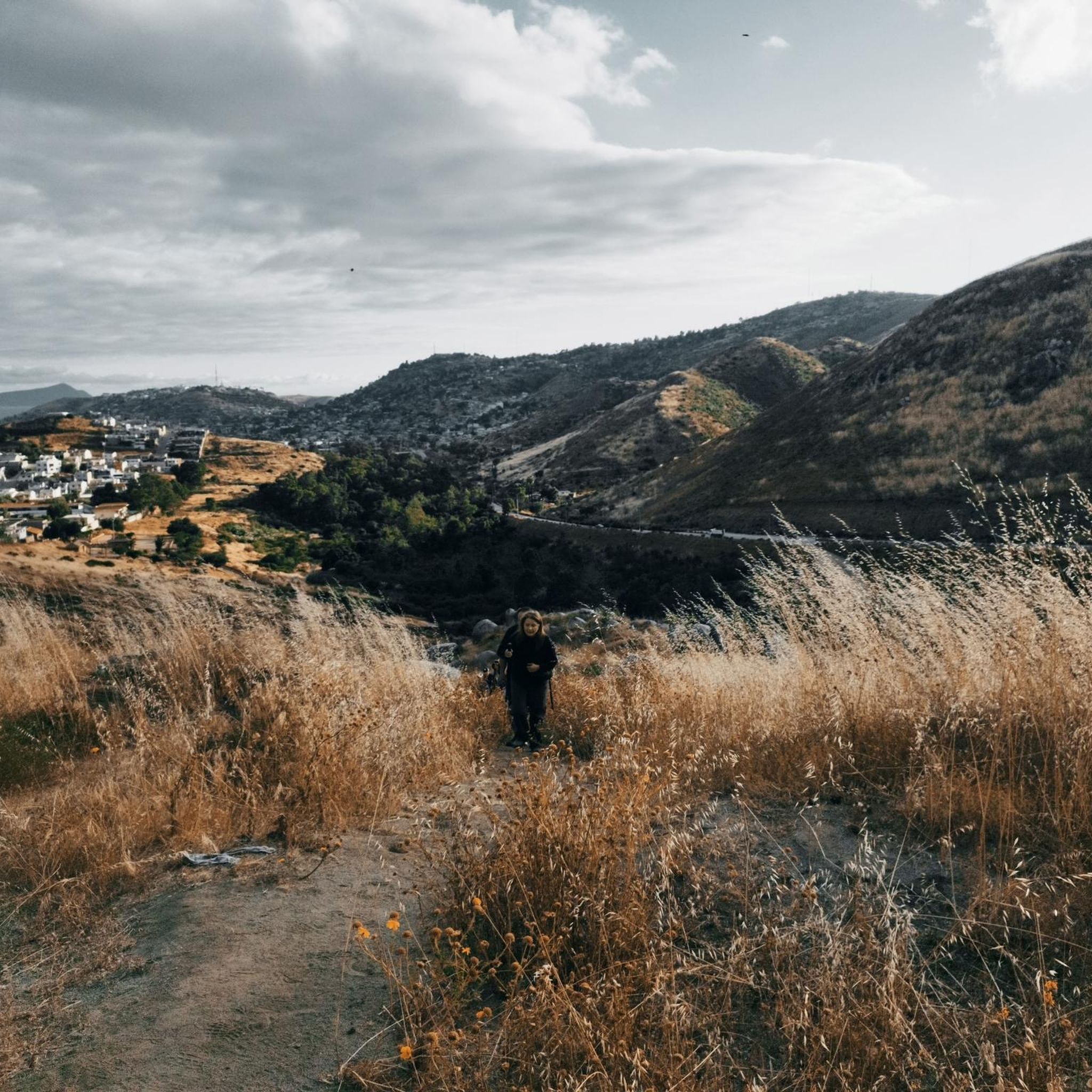
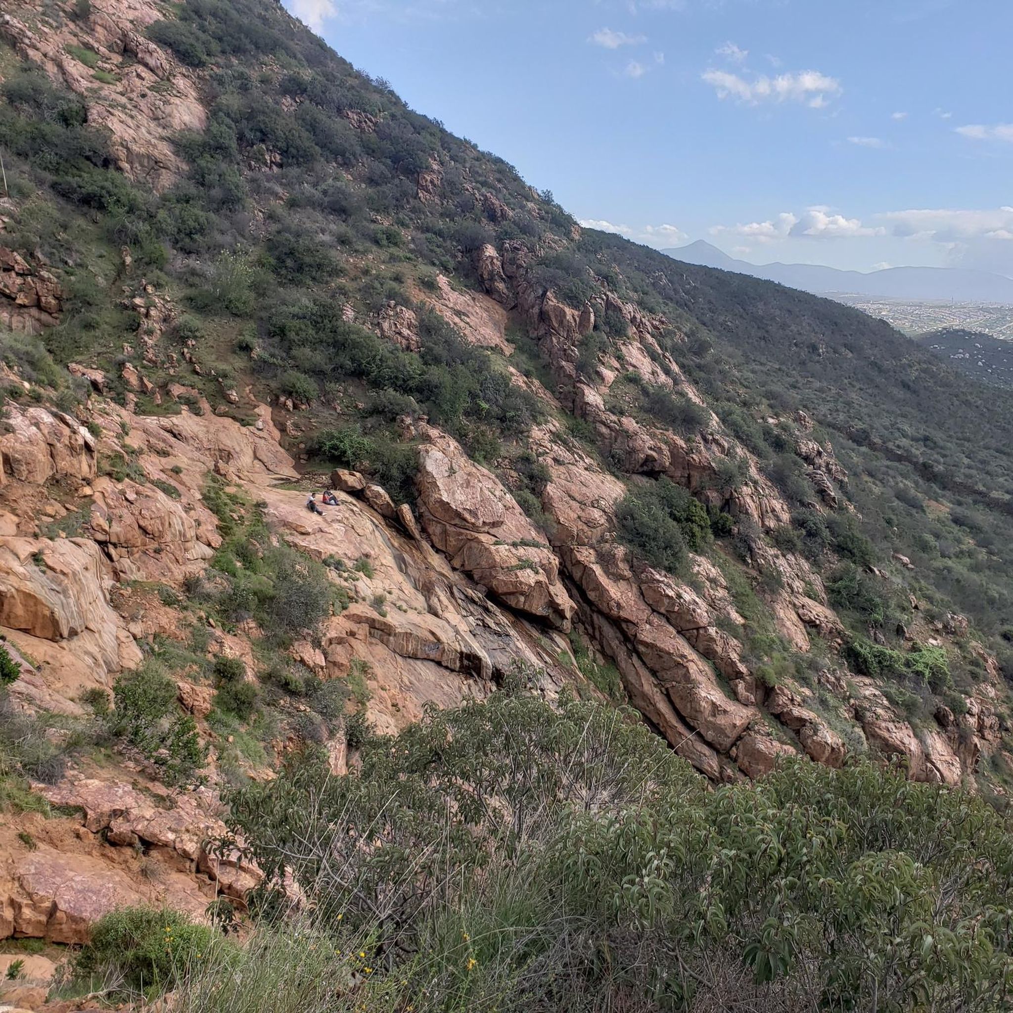
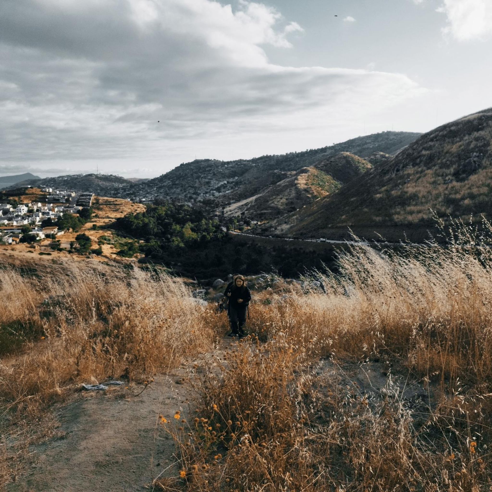
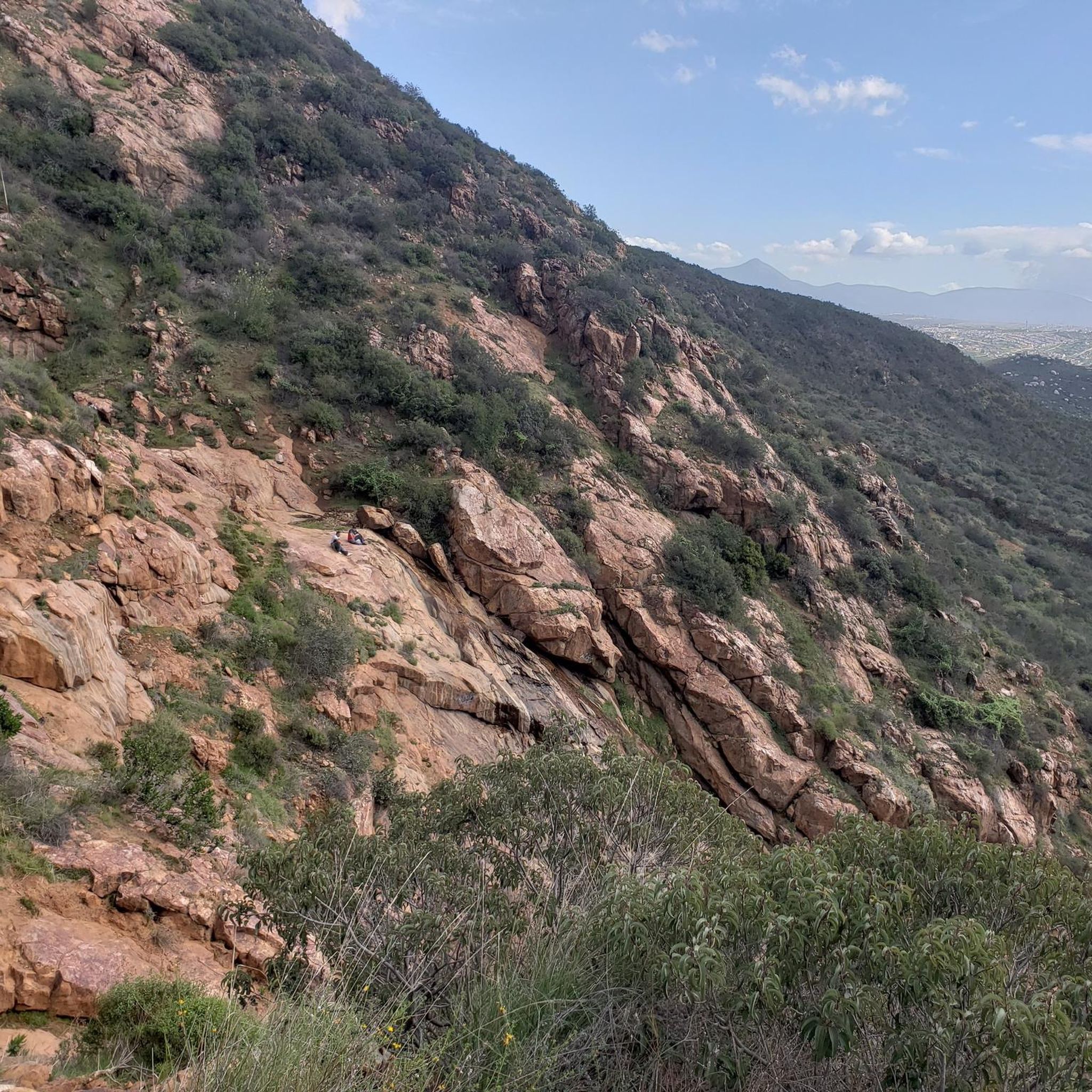


Tips from the Community

It is a large and open leisure area, with well-maintained pedestrian zones and green spaces where you can stroll calmly or go out to play sports.
0
1


Not really a place to stop. But there is a bit of a shoulder. It's at the top of turn.
0
0

Hollenbeck Canyon Wildlife Area provides a 6,100-acre wildlife corridor between Otay Mountain and the Jamul Mountains. This mainly includes coastal sage scrub, chaparral, oak woodlands, riparian forests, freshwater marshes, and grasslands. The height range hovers between a low of 750' to 2,100'.
0
0

The incredible views are absolutely worth the climb. On a good day you can see all the way to the ocean. At the very top there is an amphitheatre and a large stone cross. If you are visiting the area, a ride up to the top of Mount Helix is a definite must do.
0
0
Hollenbeck Canyon Wildlife Area provides a 6,100-acre wildlife corridor between Otay Mountain and the Jamul Mountains. This mainly includes coastal sage scrub, chaparral, oak woodlands, riparian forests, freshwater marshes, and grasslands. The height range hovers between a low of 750' to 2,100'. There are official designated hiking trails for visitors to hike.
0
0

Lower Otay Reservoir is filled by the Otay River and a San Diego Aqueduct bringing water from the Colorado River. The dam attached to it is known as Savage Dam and was built in 1918. It is a beautiful landmark to hike around and enjoy the calm of the water.
0
0
As you hike around the south side of the Upper Otay Reservoir you get a good view of the dam. The wall and graffiti are a cool contrast in between the upper and lower reservoir waters.
0
0
Frequently Asked Questions
How many road cycling routes are available in the Sierra de Juarez?
There are 8 road cycling routes available in the Sierra de Juarez region, offering a variety of experiences for different skill levels.
What kind of terrain can I expect when road cycling in the Sierra de Juarez?
The Sierra de Juarez in Baja California offers diverse terrain, transitioning from desert landscapes at lower elevations to pine-oak forests at higher altitudes. You'll find a blend of open, often flat, rolling sections and routes with significant elevation changes, providing varied challenges. Expect extensive desert views and mountainous scenery with unique desert vegetation.
Are there routes suitable for beginners or those looking for an easy ride?
Yes, there is 1 easy road cycling route available. For example, the Recreation area loop from Estacion Tijuana is a good option for a less strenuous ride.
What are the most challenging road cycling routes in the Sierra de Juarez?
For experienced cyclists seeking a challenge, there are 3 difficult routes. The Otay Reservoir Dam – "Secret" Waterfall loop from Otay Ranch Town Center is a demanding 48.2-mile path with significant elevation gain, while the Alto Climb loop from Otay Ranch Town Center also features varied and challenging elevations.
What scenic points or landmarks can I see along the road cycling routes in the Sierra de Juarez?
While cycling, you can explore various points of interest. Notable highlights include the Pacific Crest Trail Southern Terminus, offering a glimpse of this famous long-distance trail. You might also encounter the La Banquita viewpoint for expansive vistas.
Are there any unique natural features to look out for while cycling?
Absolutely. The region is known for its diverse ecosystems, from arid desert landscapes with unique flora at lower elevations to the striking pine-oak forests found at higher altitudes. You might also pass through areas near Constitution 1857 National Park, which is a significant protected area.
Is parking available near the road cycling trailheads?
Many routes, particularly those starting from urban centers like Otay Ranch Town Center or Estacion Tijuana, typically have parking facilities nearby. For routes starting from more remote locations like Golden Acorn Casino, dedicated parking is usually available on-site.
What is the best time of year for road cycling in the Sierra de Juarez?
The Sierra de Juarez in Baja California experiences varied weather. While specific recommendations depend on the exact elevation and route, generally, spring and fall offer more moderate temperatures, making them ideal for cycling. Summers can be hot, especially in lower desert elevations, and winters can bring cooler temperatures to higher forested areas.
Are there any loop trails for road cycling in the Sierra de Juarez?
Yes, all the featured road cycling routes in this guide are loop trails, designed to bring you back to your starting point. Examples include the Otay Reservoir Dam – Lower Otay Reservoir loop and the Roadbike loop from Golden Acorn Casino.
Are there family-friendly road cycling routes in the Sierra de Juarez?
While the Sierra de Juarez offers diverse terrain, including some challenging climbs, there is at least one easy route, the Recreation area loop from Estacion Tijuana, which might be suitable for families depending on their cycling experience and the children's age. Always check the route's difficulty and elevation profile before heading out with family.
Can I bring my dog on road cycling routes in the Sierra de Juarez?
Road cycling routes are generally not suitable for dogs due to safety concerns with traffic and the pace of cycling. While some natural areas might allow dogs on leash, it's best to leave your canine companion at home for road cycling adventures. Always check local regulations for specific areas if you plan to bring a pet.
Are there places to eat or stay near the cycling routes?
Routes starting or passing through areas like Otay Ranch Town Center or near Estacion Tijuana will have access to various amenities, including cafes and restaurants. For routes in more remote areas, such as those near Golden Acorn Casino, you might find facilities directly at the starting point or in nearby small towns. It's advisable to plan your stops in advance, especially on longer rides.
What do other road cyclists say about the routes in the Sierra de Juarez?
Over 40 road cyclists have used komoot to explore the varied terrain of the Sierra de Juarez. They often praise the extensive desert views, mountainous scenery, and the options available for different ability levels, from rolling sections to routes with significant elevation challenges.
Most popular routes in the Sierra de Juarez
Most popular attractions in the Sierra de Juarez

Get inspired with the komoot mobile app


