The 2 Most Amazing Peaks around Dickesbach
Mountain peaks around Dickesbach, a municipality in the Birkenfeld district of Rhineland-Palatinate, Germany, are situated within the Hunsrück region, east of the Nahe River. The area features diverse natural landscapes, including low mountain ranges, extensive forests, and distinctive geological formations. This environment is well-suited for outdoor activities such as hiking and exploring nature trails, offering scenic views.
Best mountain peaks around Dickesbach
- The most popular mountain peaks is View from Limbacher Höhe, a viewpoint that offers a panoramic view…
Last updated: August 19, 2026
Ballenberg Summit (506 m)
Highlight • Summit
Translated by Google •
Tip by

Spitzfels with summit cross
Highlight • Summit
Translated by Google •
Tip by

Sign up now to discover places like this
Get recommendations on the best single tracks, peaks, & plenty of other exciting outdoor places.
Sign up for free
View from Limbacher Höhe
Highlight • Viewpoint
Translated by Google •
Tip by

View from Staufenbergskopf
Highlight • Viewpoint
Translated by Google •
Tip by

On Mühlenberg
Highlight • Summit
Showing Translation
Tip by

Start today with a free account
Your next adventure awaits.
Login or Signup

Tips from the Community

Successfully reached the summit ;-)
0
0

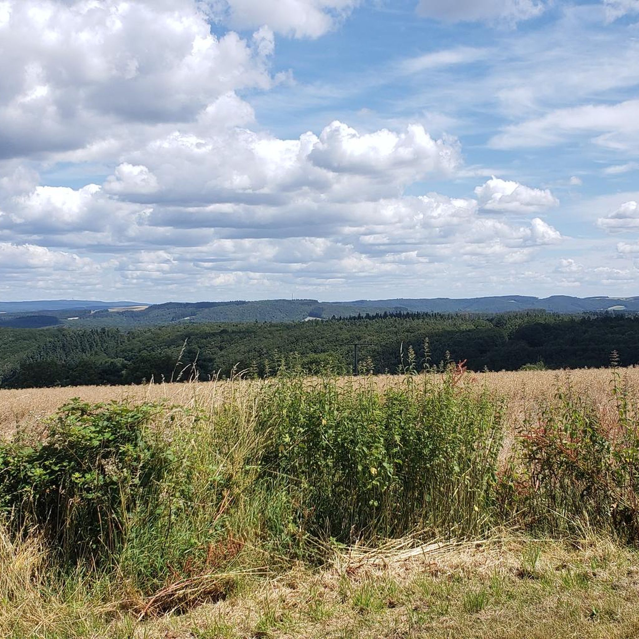
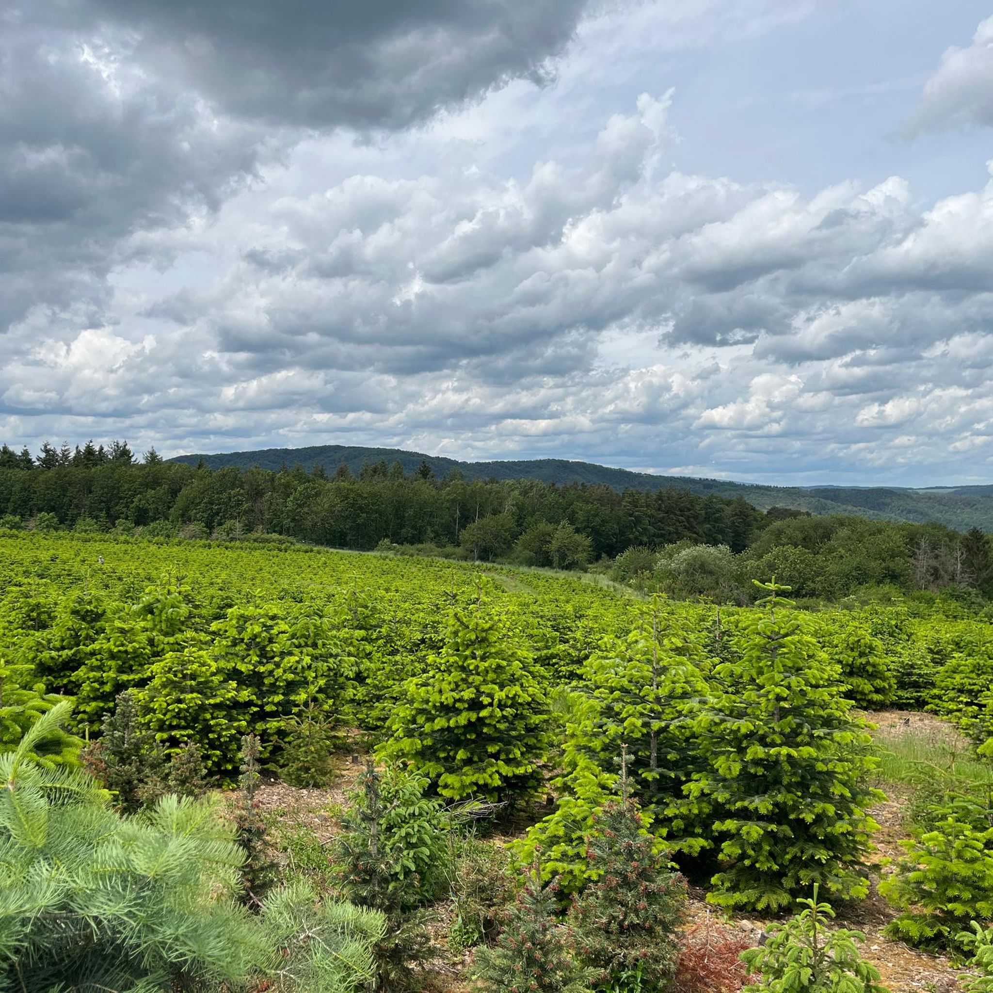
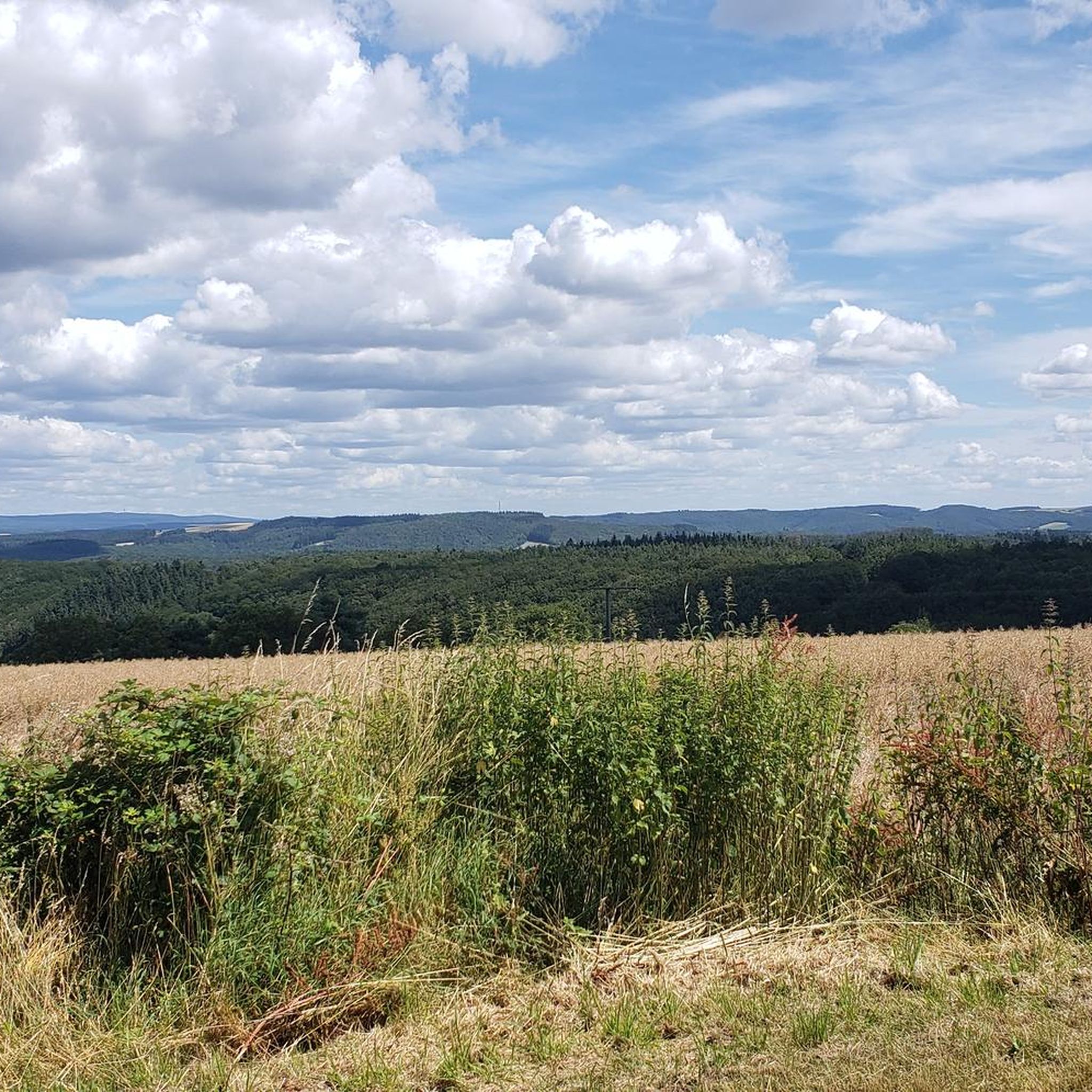
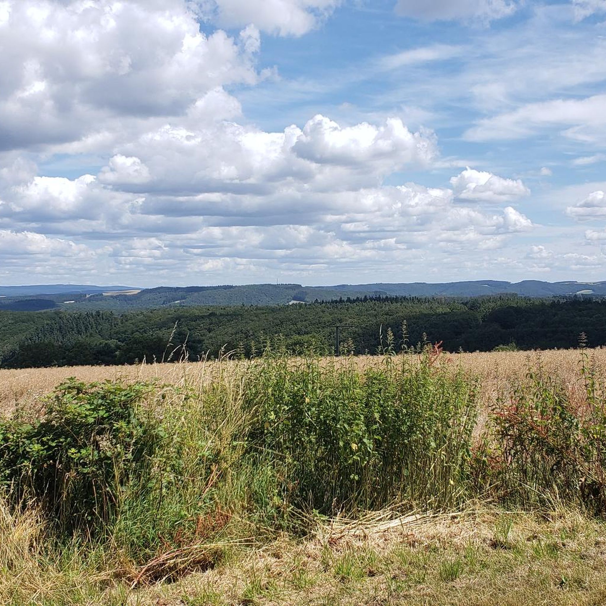
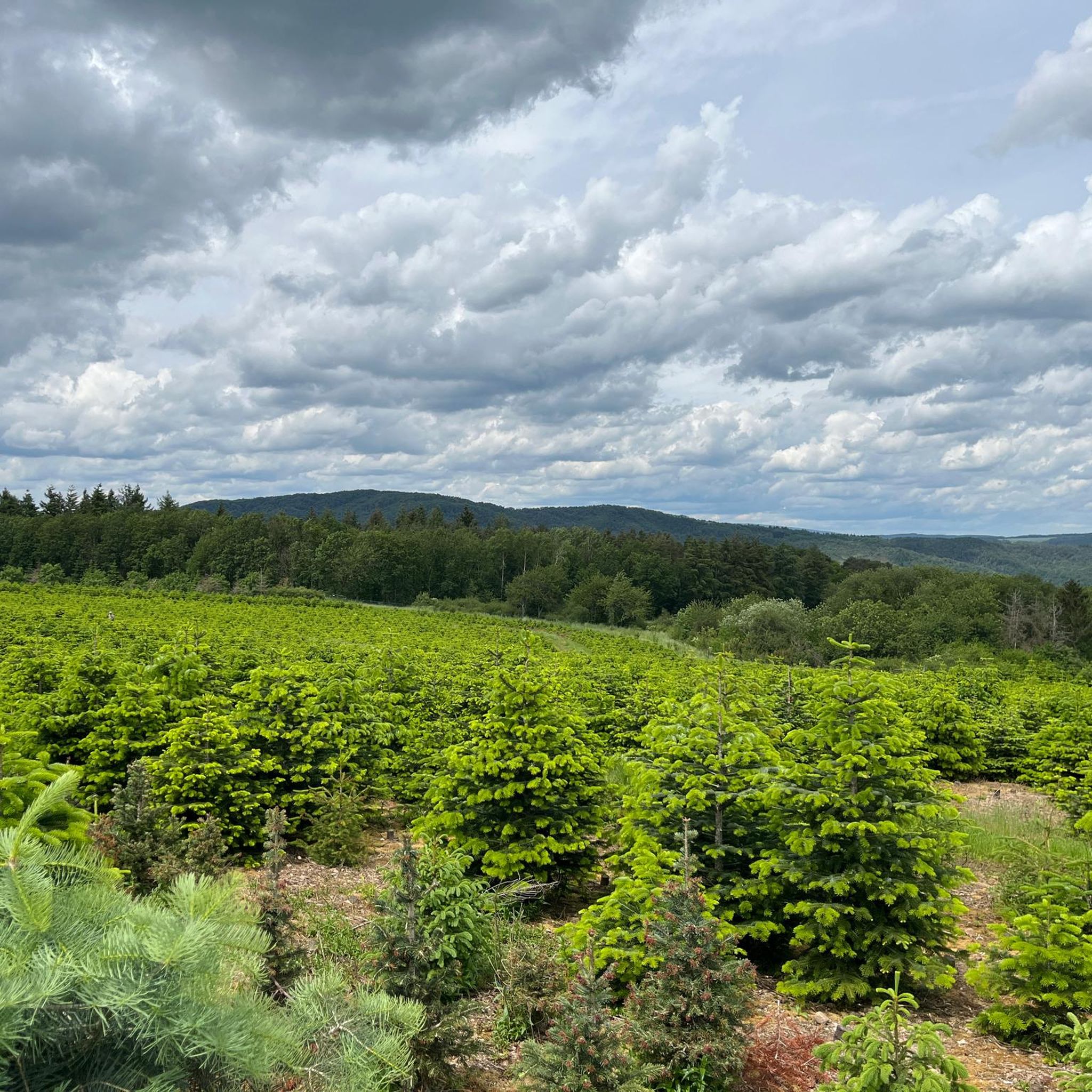
The Mühlenberg (526 m) rises between Tiefenstein and Veitsrodt and offers varied forest paths as well as beautiful views over the Hunsrück landscape. The predominantly shady paths make it a rewarding hiking destination, especially on hot summer days. From here, the path continues to the Veitsrodter Panorama-Schaukel and the traditional Prämienmarkt.
0
0
The access is not the best but a great place, there is also a safety rope to climb the summit
0
0

The Mühlenberg is not difficult to climb. A wide forest path leads there.
0
0

This is where it starts to hurt on the Juwel CTF ;-)
0
0

Very nice vantage point with rest stop.
0
0

Nice view especially when the weather is great
0
0

Always worth a detour, the panoramic view of the Limbacher Höhe with a fantastic view from the Palatinate to the Hunsrück makes you forget the ascent
0
0
Frequently Asked Questions
What kind of mountain peaks can I expect to find around Dickesbach?
The region around Dickesbach, situated within the Hunsrück, features low mountain ranges, extensive forests, and unique geological formations. While there aren't towering, individually famous peaks, you'll discover elevated points offering scenic views and rewarding hikes. Highlights include the Ballenberg Summit (506 m), which is the highest point in the vicinity, and the Mühlenberg, known for its varied forest paths and beautiful Hunsrück views.
Are there any challenging climbs or natural monuments among the peaks?
Yes, for those seeking a more challenging experience, the Spitzfels with summit cross is a notable natural monument. It involves a climb along a safety rope to reach the summit, offering a unique adventure and rewarding views.
Where can I find the best panoramic views of the surrounding landscape?
Several spots offer excellent panoramic views. The View from Limbacher Höhe provides fantastic vistas stretching from the Palatinate to the Hunsrück. Another great option is the View from Staufenbergskopf, which is particularly recommended for watching the sunset.
Are there family-friendly mountain peaks or viewpoints suitable for children?
Absolutely. The View from Limbacher Höhe is considered family-friendly, offering a rewarding view without an overly strenuous ascent. Additionally, the Mühlenberg is easily accessible via wide forest paths, making it suitable for families looking for a pleasant walk with scenic views.
What outdoor activities can I do near these mountain peaks?
The diverse natural environment around Dickesbach is perfect for various outdoor activities. You can explore numerous cycling routes, including those for touring bicycles and road cycling. For mountain biking enthusiasts, there are also dedicated MTB trails that wind through the Hunsrück landscape.
What is the best time to visit Dickesbach for hiking and enjoying the peaks?
The region is beautiful throughout the year, but spring and autumn offer particularly pleasant temperatures for hiking and clearer views. Summer is also great, especially for the predominantly shady paths found on peaks like the Mühlenberg, making it a rewarding destination even on hot days.
Can I find easy hiking trails around the peaks for beginners?
Yes, many of the paths leading to and around the peaks are suitable for beginners. For instance, the Mühlenberg is not difficult to climb, with wide forest paths. The Ballenberg Summit also has moderately interesting trails that are generally accessible.
What natural features are prominent in the Dickesbach area?
The area is characterized by its diverse natural landscapes, including low mountain ranges, extensive forests, and unique geological formations. You'll encounter dense woodlands, open vistas, and the occasional rock formation like the Spitzfels, all contributing to the Hunsrück's natural beauty.
Are there any specific trails or routes recommended for exploring the peaks?
While individual tour routes are numerous, you can find various trails leading to and connecting these peaks. For example, trails lead towards Georg Weierbach from the Ballenberg Summit. The Limbacher Höhe is also part of the Fuchspfad. For a broader range of outdoor activities, explore the cycling and MTB guides for the region.
What makes the Mühlenberg a good hiking destination?
The Mühlenberg is an excellent hiking destination due to its easy accessibility via wide forest paths and the beautiful views it offers over the Hunsrück landscape. Its predominantly shady paths make it particularly appealing for a refreshing hike, especially during warmer months.
What should I wear when hiking the peaks around Dickesbach?
Given the varied terrain and forest paths, sturdy hiking shoes are recommended. Layered clothing is advisable to adapt to changing weather conditions, especially when gaining elevation. For more challenging climbs like the Spitzfels, appropriate gear for scrambling might be beneficial.
Most popular attractions around Dickesbach

Get inspired with the komoot mobile app


Explore more
See even more amazing summits around Dickesbach with these guides:
