The best gravel rides around Dickesbach
4.3
(3)
19
riders
6
rides
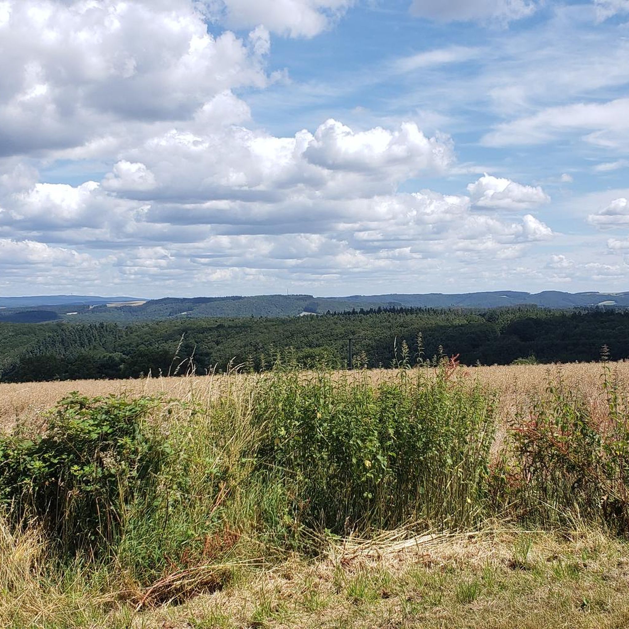
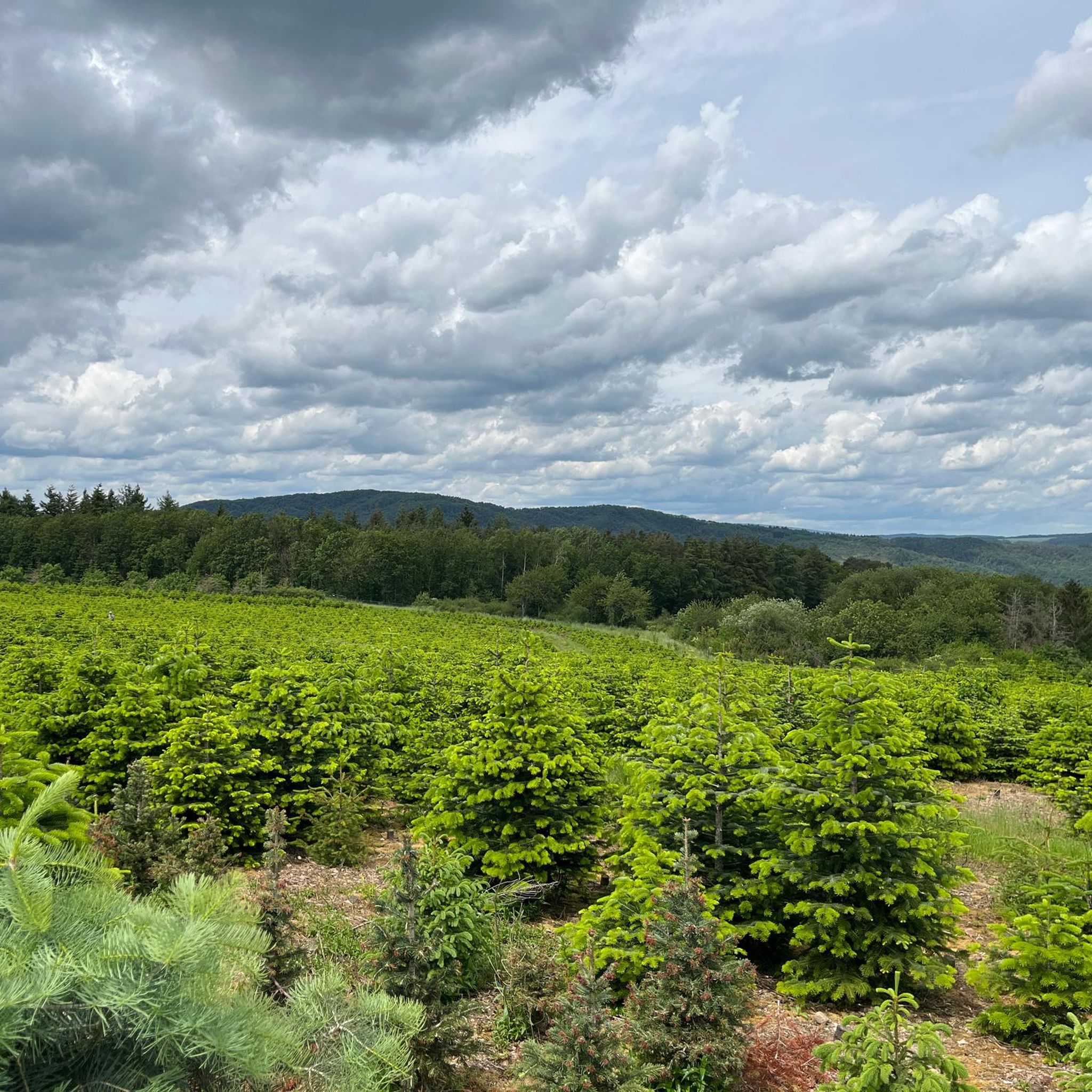
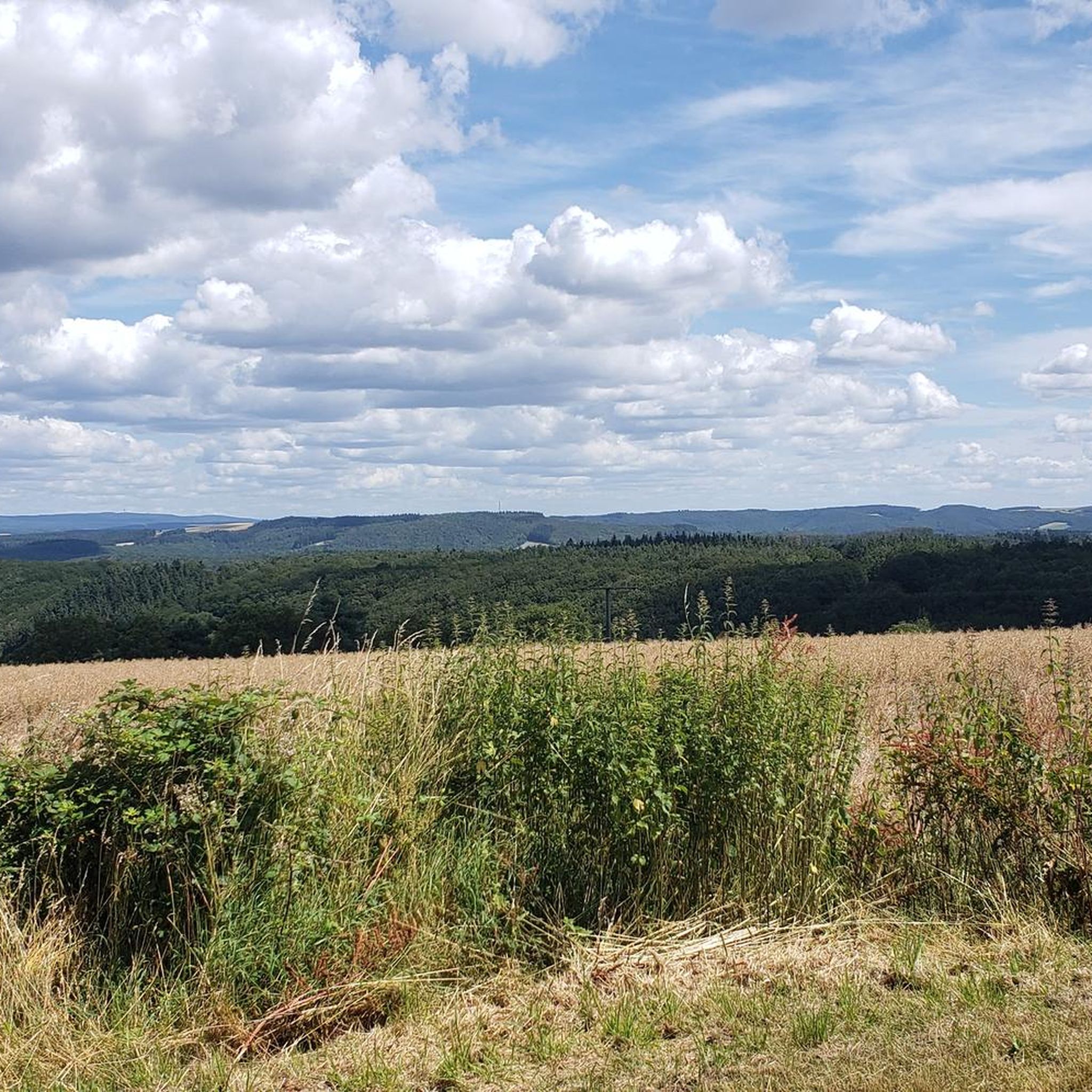
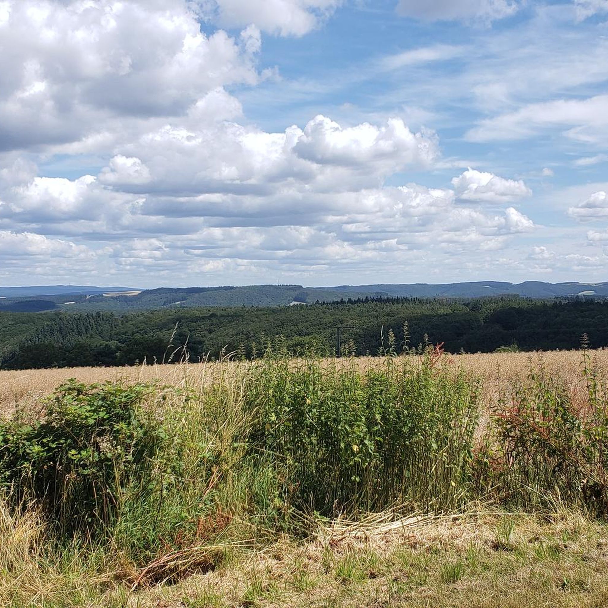
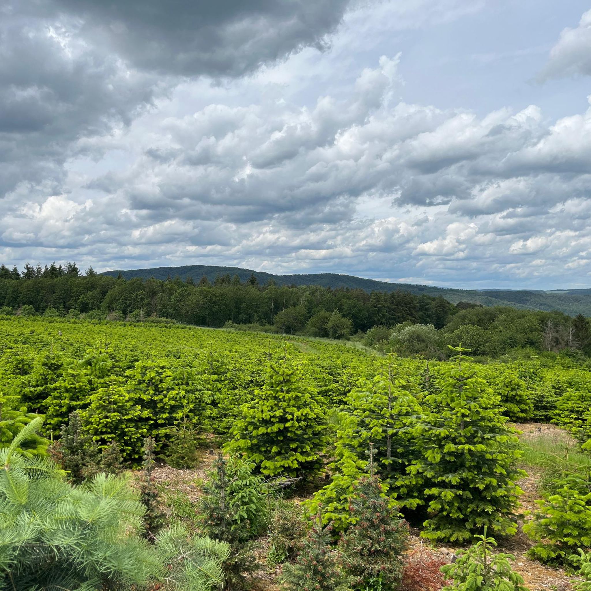
Gravel biking around Dickesbach offers access to the diverse landscapes of the Hunsrück-Nahe region. This area features dense forests, wide plateaus, and river valleys, providing varied terrain for cyclists. The municipality is situated near the Hunsrück-Hochwald National Park, characterized by rolling hills and extensive gravel paths. The region's natural composition includes quiet side roads and off-road sections, suitable for gravel cycling.
Best gravel bike trails around Dickesbach
- The most popular gravel bike trail is Jammereiche – View of Idarkopf loop…
Last updated: October 6, 2026
3.0
(1)
6
riders
62.6km
03:59
830m
830m
Hard gravel ride. Very good fitness required. Mostly paved surfaces. Suitable for all skill levels.
5.0
(1)
2
riders
Hard gravel ride. Very good fitness required. Mostly paved surfaces. Suitable for all skill levels.

5
riders
Hard gravel ride. Very good fitness required. Mostly paved surfaces. Suitable for all skill levels.
1
riders
80.2km
05:28
1,360m
1,360m
Hard gravel ride. Very good fitness required. Mostly paved surfaces. Suitable for all skill levels.
3
riders
62.3km
04:03
860m
850m
Hard gravel ride. Very good fitness required. You may need to push your bike for some segments of this route.
Our route recommendations are based on thousands of hikes, rides, and runs completed by other people on komoot.
Start today with a free account
Your next adventure awaits.
Tips from the Community

Good place to take a break.
0
0
Beautiful cycle path along the stream.
0
1


From the old town, you can see the remains of Oberstein Castle steeply upwards.
0
0
very unusual church location!
0
0
When you are in IO, you get to know many different perspectives of the church
0
0
Nice when you walk down the FGZ and the panorama opens up :-D
0
0
Unfortunately, only visitable by booking
0
0
Frequently Asked Questions
How many gravel bike trails are available around Dickesbach?
There are over 10 gravel bike trails around Dickesbach, offering a variety of experiences in the Hunsrück-Nahe region. Most of these routes are rated as difficult, providing a good challenge for experienced riders.
What kind of terrain can I expect on gravel bike trails near Dickesbach?
The terrain around Dickesbach is diverse, featuring dense forests, wide plateaus, and river valleys. You'll encounter a mix of quiet side roads and extensive gravel paths, with options for challenging ascents and thrilling descents, especially within the low mountain range landscapes of the Hunsrück. The region is known for its natural gravel tours, providing an off-road adventure.
Are there any challenging gravel bike routes for experienced riders?
Yes, the majority of gravel routes around Dickesbach are rated as difficult. For instance, the Jammereiche – View of Idarkopf loop from Kirn is a challenging 39.2-mile (63.1 km) trail with over 830 meters of elevation gain, offering views towards the Idarkopf within the Hunsrück landscape.
What are some popular circular gravel bike routes in the area?
Many routes around Dickesbach are designed as loops. A popular option is the Eselbrücke Kohlenhütte – Antestal Trail Entrance loop from Fischbach-Weierbach, a 31.6-mile (50.8 km) difficult path that navigates through varied terrain, including forest sections and open areas.
Are there any viewpoints or scenic spots along the gravel trails?
Yes, the region offers several scenic viewpoints. The Jammereiche – View of Idarkopf loop from Kirn provides views towards the Idarkopf. Additionally, you might encounter natural monuments like the Rabenkanzel Rock Formation, which offers panoramic views.
What natural attractions can I see while gravel biking near Dickesbach?
The area is rich in natural beauty. You can explore the Hunsrück-Hochwald National Park, known for its dense forests and unique geological formations. Specific natural highlights include the Trübenbach Waterfall and the Kammerwoog Reservoir and Nature Reserve. Some routes also pass through the Antestal Valley, as seen on the View of the Antestal Valley – Antestal Trail Entrance loop from Sienhachenbach.
Are there any historical or cultural landmarks accessible from the gravel routes?
While the primary draw is natural landscapes, some routes may pass near historical sites. For example, the Kirn Market Square – Oberstein Castle Pond loop from Kirn starts near Kirn Market Square and offers views towards Schloss Oberstein. You can also find highlights like the Bierfincksgraben Mine in the wider area.
What is the best time of year for gravel biking in the Dickesbach region?
The Hunsrück-Nahe region is generally enjoyable for gravel biking from spring through autumn. The diverse landscapes are particularly beautiful during these seasons. While winter riding is possible, be prepared for potentially challenging conditions like snow or ice on trails, especially at higher elevations within the Hunsrück-Hochwald National Park.
Is the Hunsrück-Hochwald National Park accessible for gravel biking?
Yes, Dickesbach is situated near the Hunsrück-Hochwald National Park, which offers extensive trail networks suitable for gravel biking. The park's varied topography, including rolling hills and deep valleys, provides an immersive experience amidst wild and pristine nature. For more information on the park, you can visit the National Parks Association website.
What do other gravel bikers say about the trails around Dickesbach?
The gravel biking routes around Dickesbach are highly rated by the komoot community, with an average score of 4.7 stars from 6 reviews. Riders often praise the varied terrain, the extensive network of gravel paths, and the opportunity for off-road adventures in the natural landscapes of the Hunsrück-Nahe region.
Are there any easier or beginner-friendly gravel bike trails near Dickesbach?
While most routes are rated difficult, the region's network offers options for different ability levels. For a route that offers varied terrain without being excessively long, consider the Fischbach Copper Mine – Sonnenscheid Viewpoint loop from Georg-Weierbach, which is 47.1 miles (47.1 km) and rated difficult, but provides a good overview of the area's gravel paths.
Where can I find parking for gravel biking trails in Dickesbach?
Specific parking information for individual trailheads is often available on the komoot tour pages. Generally, you can find parking options in and around Dickesbach village, as well as at starting points for popular routes in nearby towns like Kirn or Fischbach-Weierbach. Always check local signage for parking regulations.
Are there any routes that include stops at cafes or pubs?
While specific routes are not designed around pub stops, many trails pass through or near villages and towns in the Hunsrück-Nahe region where you can find cafes, pubs, and restaurants. Planning your route to include a stop in a larger town like Kirn or Idar-Oberstein would be a good strategy for refreshments.
Most popular attractions around Dickesbach

Get inspired with the komoot mobile app


Explore more
Browse the best Gravel rides in other regions.
