The best road cycling routes around Dickesbach
4.5
(103)
1,364
riders
130
rides
Road cycling routes around Dickesbach traverse the diverse landscapes of the Hunsrück region, situated east of the Nahe river in Rhineland-Palatinate, Germany. The area features a varied topography, characterized by rolling hills, idyllic valleys, and forested sections of the low mountain range. Cyclists encounter a mix of inclines and flatter stretches, providing diverse experiences for road bikes. The region's proximity to the Nahe river further contributes to its natural beauty and varied terrain.
Best road cycling routes around Dickesbach
- The most popular road cycling route is Erbeskopf climb to the highest mountain in Rhineland-Palatinate, a 72.3 miles (116.3 km) trail that takes about 6 hours 14 minutes to complete. This difficult route ascends to the highest point in Rhineland-Palatinate, offering significant elevation gain.
- Another top favourite among local road cyclists is Everything flows between Nahe and Glan, a difficult 56.1 miles (90.4 km) path. This route explores the scenic areas between the Nahe and Glan rivers, featuring varied terrain.
- Local road cyclists also love the Glan-Blies Cycle Path – Panoramic View Near Kirn loop from Fischbach-Weierbach, a 44.6 miles (71.9 km) trail leading through the Glan-Blies region, often completed in about 3 hours 28 minutes.
- Road cycling around Dickesbach is defined by rolling hills, idyllic valleys, and the low mountain range of the Hunsrück. The network offers options for different ability levels, including numerous difficult routes.
- The routes in Dickesbach are highly rated by the komoot community with an average score of 4.6 stars from over 90 reviews. More than 1,300 road cyclists have used komoot to explore Dickesbach's varied terrain.
Last updated: July 5, 2026
4.5
(2)
32
riders
116km
06:14
1,950m
1,950m
Hard road ride. Very good fitness required. Mostly well-paved surfaces and easy to ride.
21
riders
90.4km
04:33
1,180m
1,180m
Hard road ride. Very good fitness required. Mostly well-paved surfaces and easy to ride.

Sign up for free
109km
09:00
1,750m
1,750m
Hard gravel ride. Very good fitness required. Some segments of this route may be unpaved and difficult to ride.
4.8
(11)
54
riders
Moderate road ride. Good fitness required. Mostly well-paved surfaces and easy to ride.
19
riders
71.9km
03:28
970m
970m
Hard road ride. Very good fitness required. Mostly well-paved surfaces and easy to ride.
Get access to more routes and recommendations from other explorers.
Sign up for free
Already have an account?
Our route recommendations are based on thousands of hikes, rides, and runs completed by other people on komoot.
Start today with a free account
Your next adventure awaits.
Login or Signup
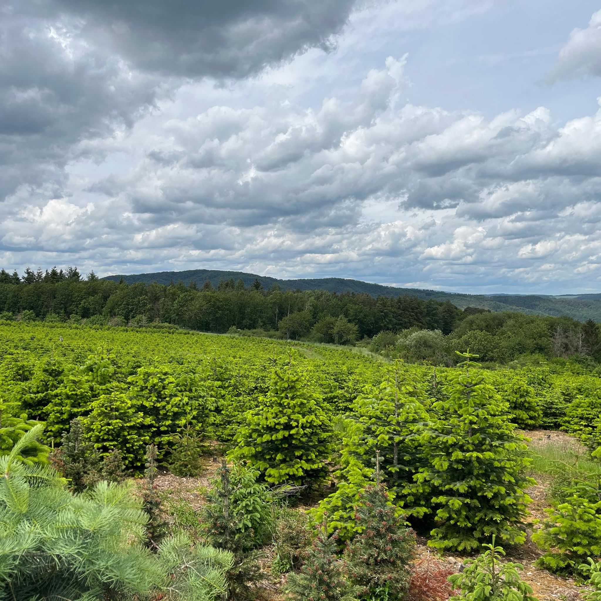
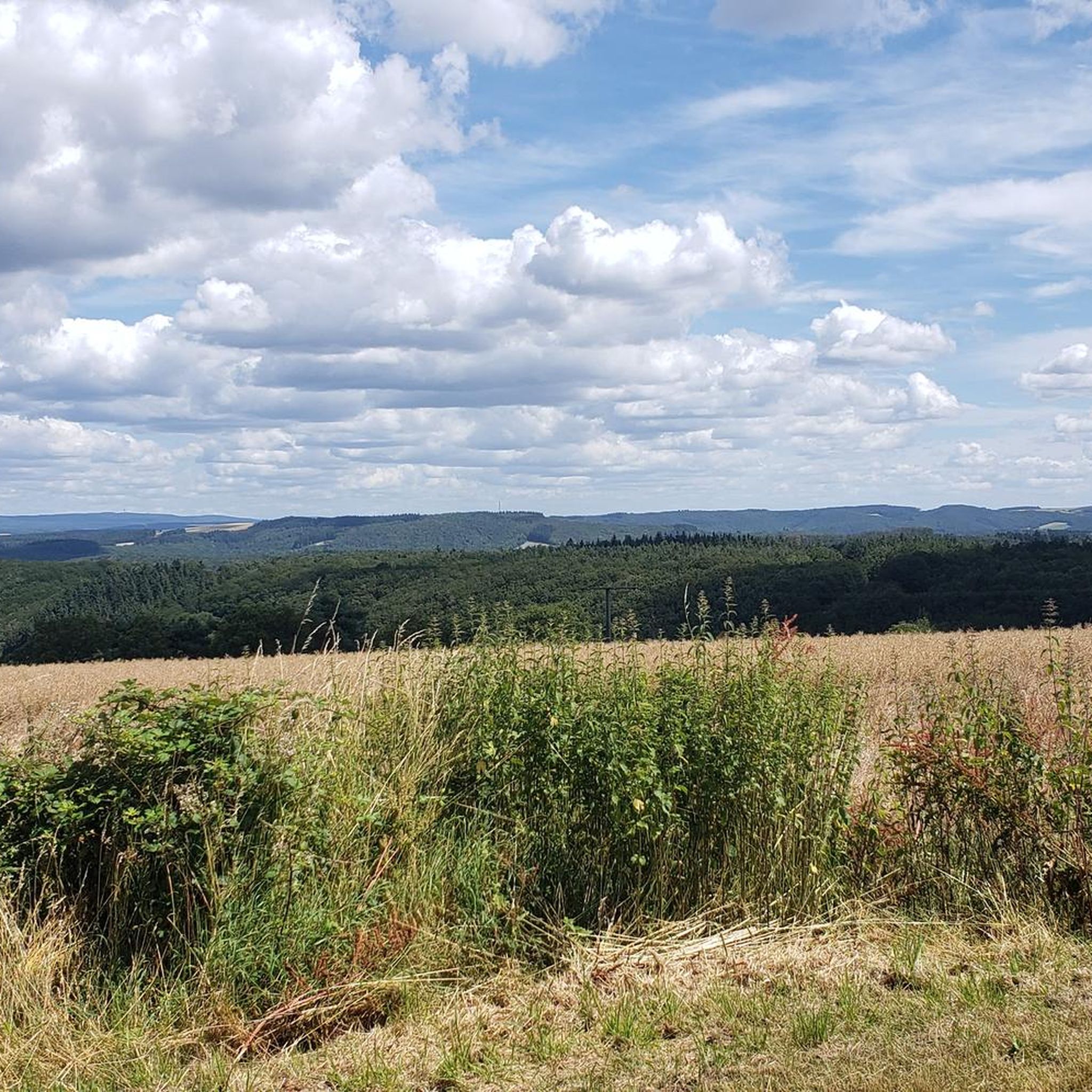
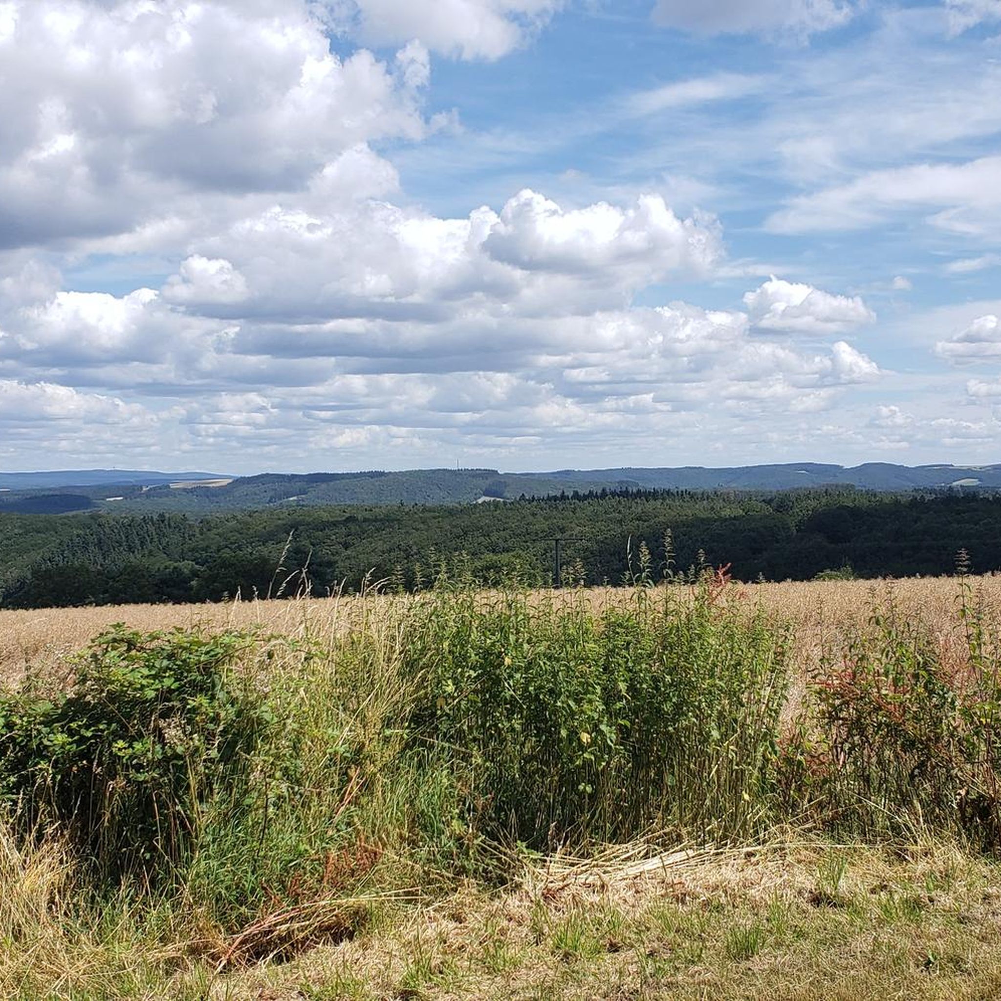
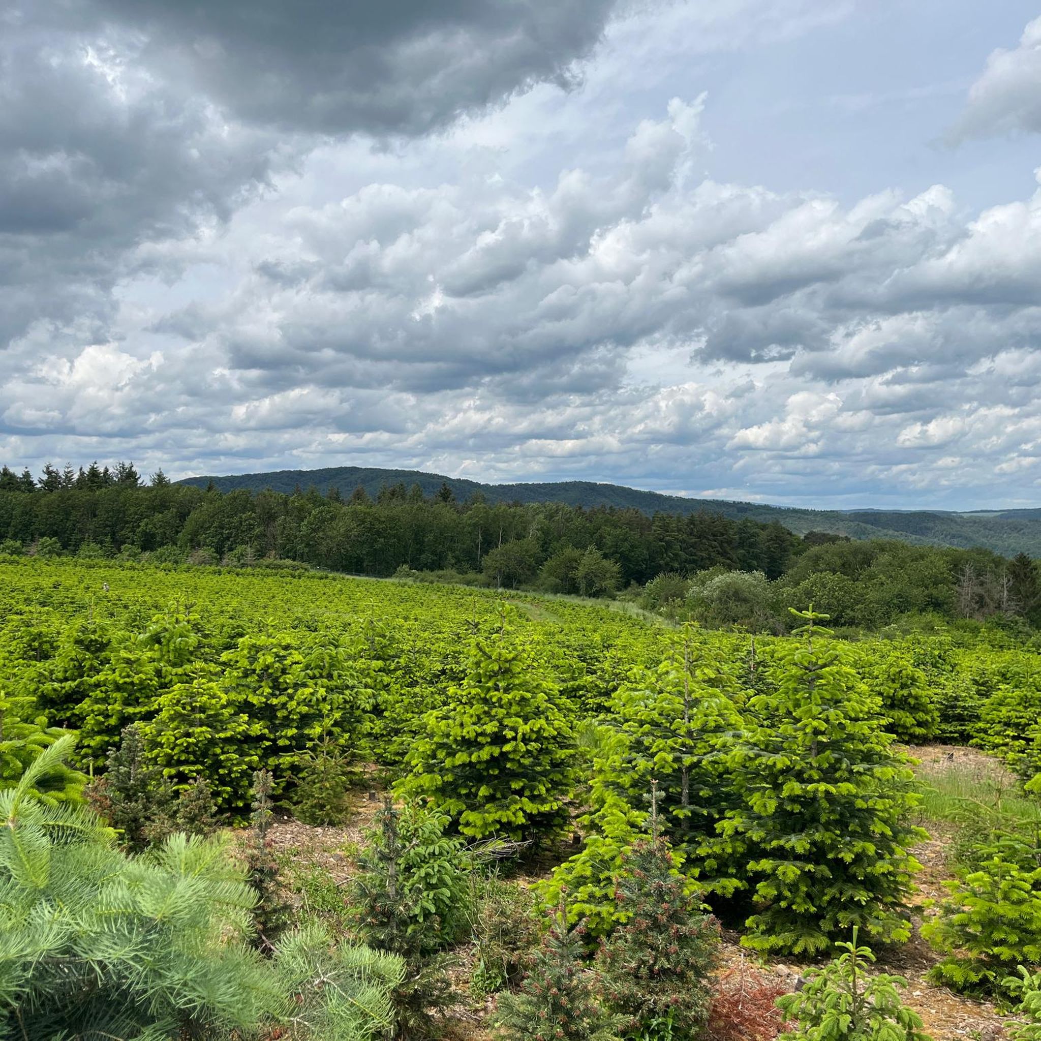

Tips from the Community

One of the nicer views.
0
0

Good starting point for tours if you live on the Neuweg
0
0

Very nice section of the route, nice to ride
0
0
Simply a very impressive building.
0
0
Perfect opportunity to take a break
0
0
Very cool bike path 🚴♂️
0
0
Very well done, great panoramic view from up here.
0
0
And a branch office of the registry office 💁♂️😂
0
0
Frequently Asked Questions
How many road cycling routes are available around Dickesbach?
There are over 130 road cycling routes available around Dickesbach, catering to various skill levels. This includes 8 easy routes, 63 moderate routes, and 64 difficult routes, ensuring a diverse range of experiences for road cyclists.
What kind of terrain can I expect on road cycling routes near Dickesbach?
Road cycling routes near Dickesbach traverse the diverse landscapes of the Hunsrück region. You can expect a varied topography characterized by rolling hills, idyllic valleys, and forested sections of the low mountain range. The area's proximity to the Nahe river also contributes to its natural beauty, offering a mix of inclines and flatter stretches.
When is the best time of year to go road cycling in Dickesbach?
The Hunsrück region, including Dickesbach, is generally pleasant for road cycling from spring through autumn. Spring offers fresh greenery, while autumn provides beautiful foliage. Summer is also suitable, though it's advisable to start earlier in the day to avoid the midday heat on longer routes.
Are there any historical landmarks or cultural sights to see along the road cycling routes?
Yes, several historical and cultural sights are accessible near the road cycling routes. You can visit the Historic Old Town of Herrstein with its well-preserved half-timbered houses, or see the Clock Tower City Gate Herrstein. Further afield, the region is known for the German Gemstone Museum in Idar-Oberstein and the impressive Felsenkirche (Rock Church).
Can I find natural attractions or scenic viewpoints while cycling?
Absolutely. The region offers several natural attractions and viewpoints. You might encounter the picturesque Trübenbach Waterfall or enjoy panoramic views from the Rabenkanzel Rock Formation. The Kammerwoog Reservoir and Nature Reserve also offers scenic beauty.
What do other road cyclists say about the routes in Dickesbach?
The road cycling routes in Dickesbach are highly rated by the komoot community, with an average score of 4.6 stars from over 90 reviews. Cyclists often praise the varied terrain, the scenic beauty of the Hunsrück region, and the challenging climbs, particularly on routes like the Erbeskopf climb.
Are there challenging road cycling routes for experienced riders?
Yes, Dickesbach offers numerous challenging routes for experienced road cyclists. For instance, the Erbeskopf climb to the highest mountain in Rhineland-Palatinate is a difficult 116 km route with significant elevation gain. Another demanding option is Everything flows between Nahe and Glan, a 90 km path featuring varied terrain.
Are there circular road cycling routes available?
Yes, many road cycling routes in the Dickesbach area are designed as loops. An example is the Glan-Blies Cycle Path – Panoramic View Near Kirn loop from Fischbach-Weierbach, which is a 71.9 km circular trail. These loops allow you to start and end your ride in the same location without retracing your path.
Where can I find parking for road cycling routes in Dickesbach?
While specific parking areas for cyclists are not detailed, Dickesbach and surrounding towns typically offer public parking facilities. It's advisable to check local signage for parking regulations, especially when starting a route from a village center or near popular attractions.
Is public transport available to reach the cycling routes in Dickesbach?
Public transport options to Dickesbach and the surrounding Hunsrück region are available, primarily via regional bus services. However, transporting bicycles on public transport can be restricted, especially during peak times or on smaller buses. It's recommended to check with local transport providers for their specific bicycle carriage policies.
Are there places to eat or drink along the road cycling routes?
Yes, the towns and villages scattered throughout the Hunsrück region, including Dickesbach and nearby communities like Herrstein, offer various cafes, pubs, and restaurants. These establishments provide opportunities to refuel and relax during or after your ride. Planning your route to pass through these locations can enhance your cycling experience.
What is the road quality like for cycling in Dickesbach and the surrounding area?
The roads in the Hunsrück region around Dickesbach are generally well-maintained, offering suitable surfaces for road cycling. While you can expect a mix of main roads and quieter country lanes, the emphasis on outdoor activities in Rhineland-Palatinate suggests that cycling infrastructure is given consideration. Always be mindful of traffic, especially on busier sections.
Most popular attractions around Dickesbach

Get inspired with the komoot mobile app


Explore more
Browse the best Road cycling routes in other regions.
