Top 10 Gorges around Alto Guadalentín
Best canyons around Alto Guadalentín are characterized by a semi-arid climate and eroded landscapes. The region, part of Murcia, Spain, features ravines and gullies, often referred to as "barrancos," carved into the terrain. While the Guadalentín river's flow can be irregular, these areas offer unique geological formations and scenic views. The broader area includes impressive examples of badlands topography, making it a destination for those interested in natural features and hiking.
Best canyons around Alto Guadalentín
- The most popular canyons…
Last updated: May 14, 2026
Estrecho de la Arboleja
Highlight • Gorge
Translated by Google •
Tip by

Barranco de los Ballesteros – Lentisco Trail
Highlight • Gorge
Translated by Google •
Tip by

Sign up now to discover places like this
Get recommendations on the best single tracks, peaks, & plenty of other exciting outdoor places.
Sign up for free
El Berro Water Canal
Highlight • Structure
Translated by Google •
Tip by
Views of the Barranco de los Frailes
Highlight • Gorge
Translated by Google •
Tip by

Eroded Landscapes Trail, Barrancos de Gebas Protected Landscape
Highlight (Segment) • Gorge
Translated by Google •
Tip by

Rock arch near Cabo Cope
Highlight • Gorge
Translated by Google •
Tip by

Leiva Valley Trail
Highlight • Gorge
Translated by Google •
Tip by
Mountain Views
Highlight • Viewpoint
Tip by

Malvariche Gorge
Highlight (Segment) • Gorge
Translated by Google •
Tip by

Start today with a free account
Your next adventure awaits.
Login or Signup
Popular around Alto Guadalentín

On the road to the sun — bikepacking to southeast Spain
10 gravel routes to discover hidden gems in Spain
Mediterranean industry and nature – hike the GR 92 in Murcia
The lungs of Murcia in Spain – Sierra Espuña
Disconnection in the mountains – Sierra Espuña by MTB
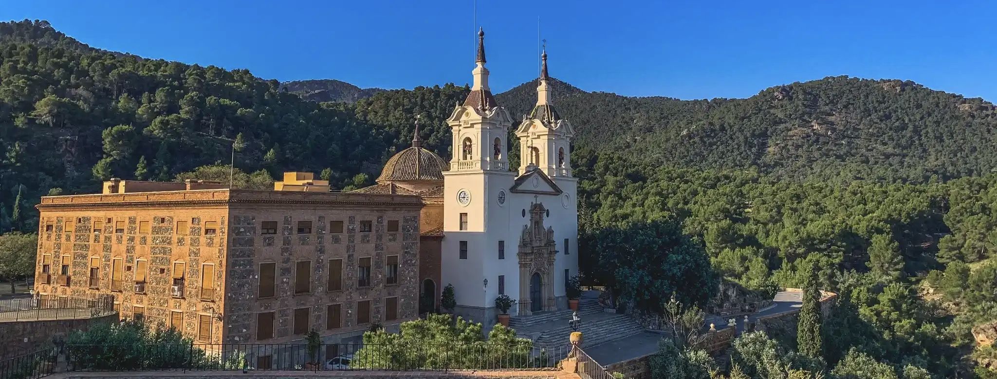
A ride through the "Huerta de Europa" – Transmurciana on MTB

Let’s head south – cycle in Andalusia with me and my dog
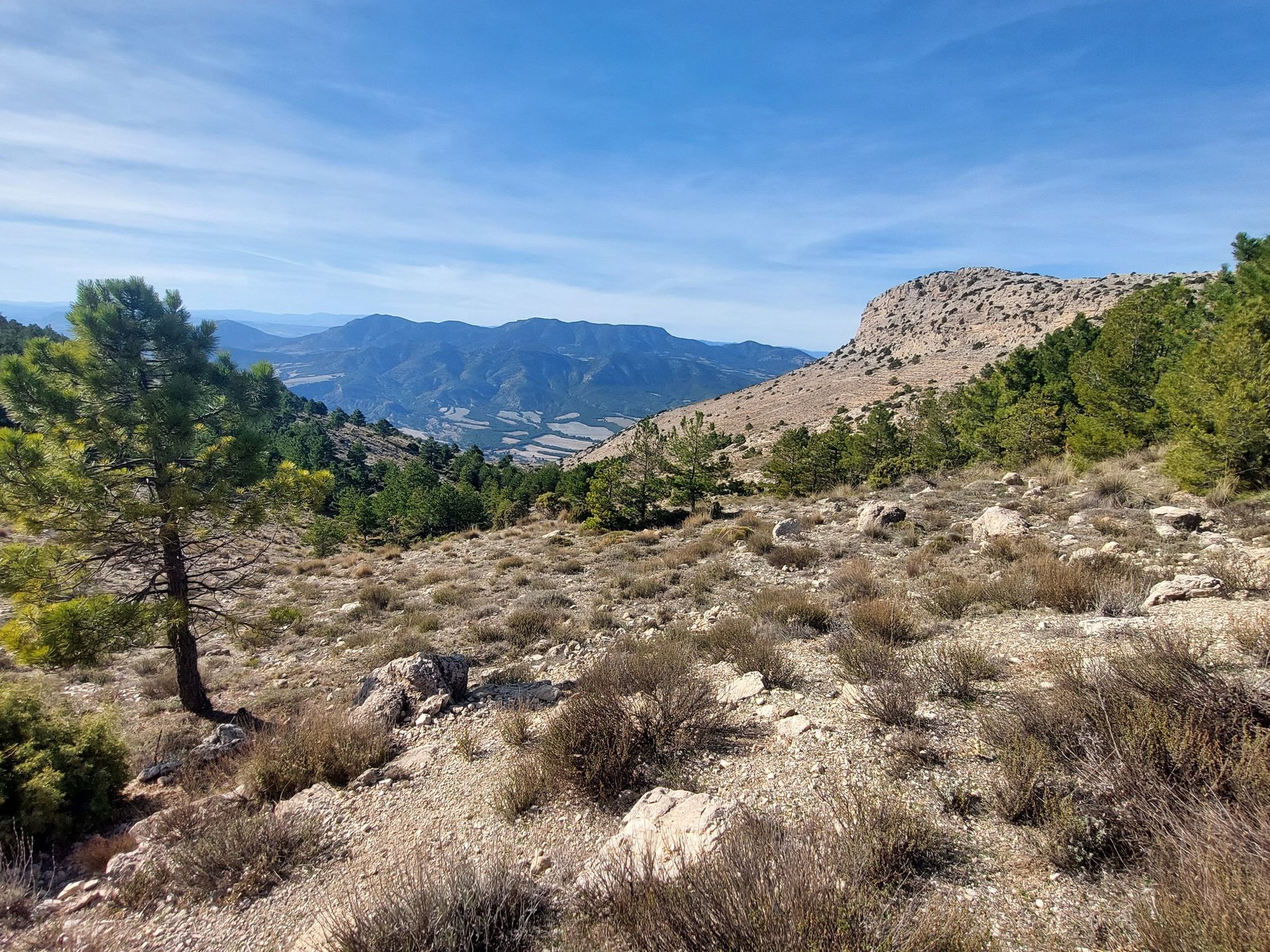
Badlands, limestone hills and pine forests – cycle around Sierra Espuña
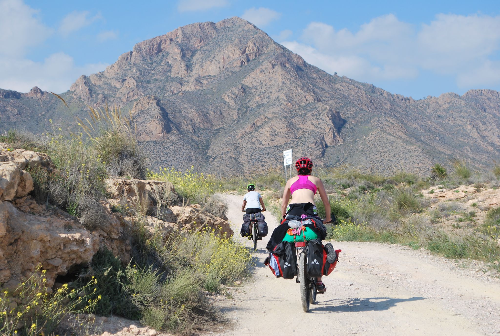
Mediterranean coastal paradise – EuroVelo 8 in Spain
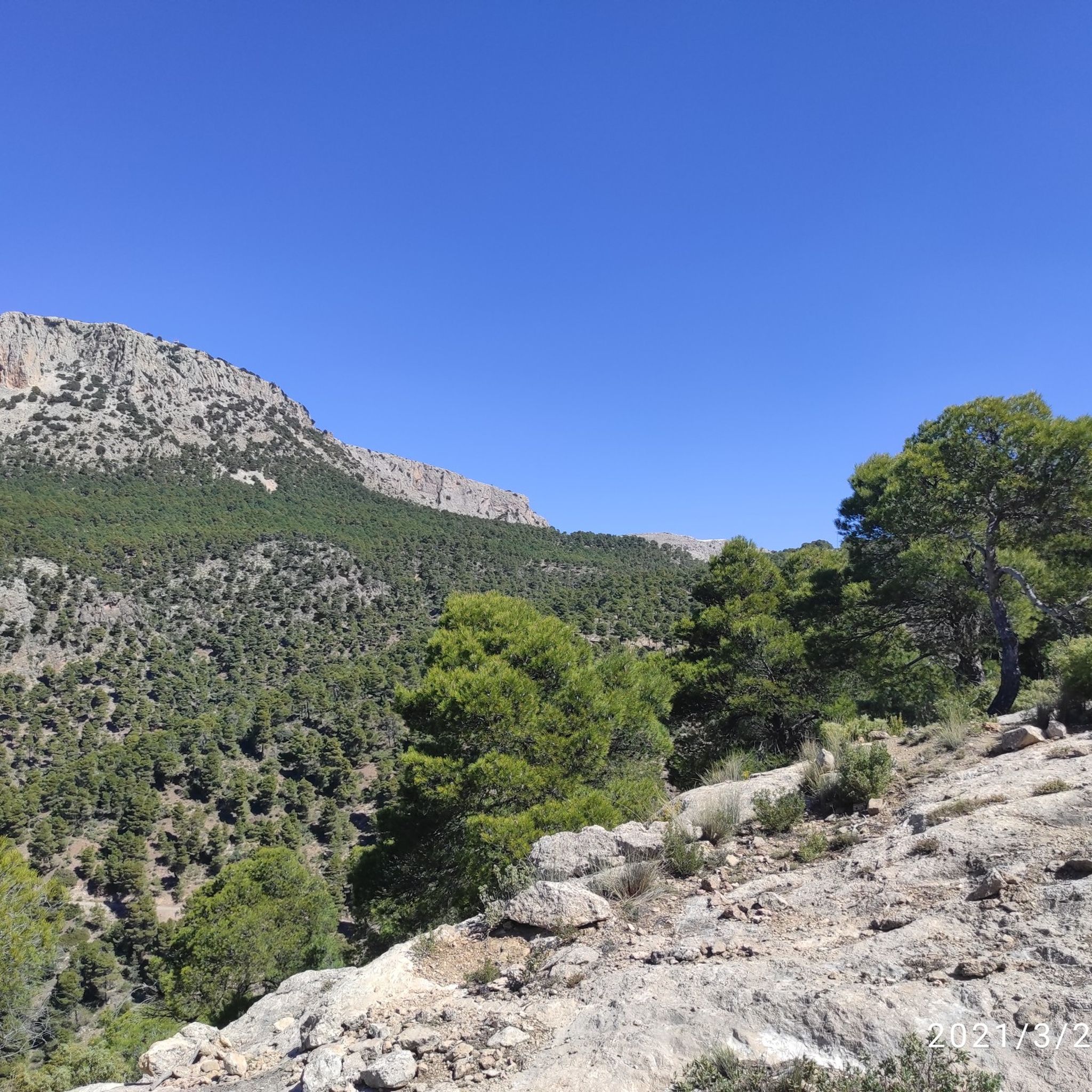
Hiking around Alto Guadalentín
Other adventures around Alto Guadalentín


Tips from the Community

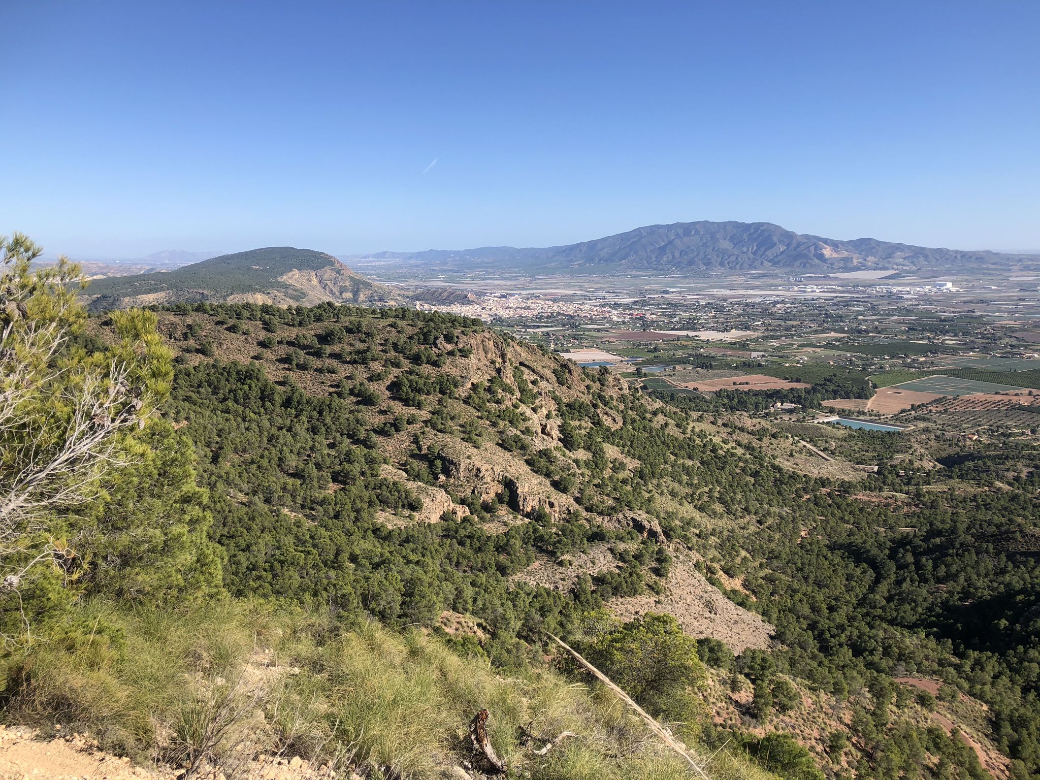
Beautiful hill with good views
0
0
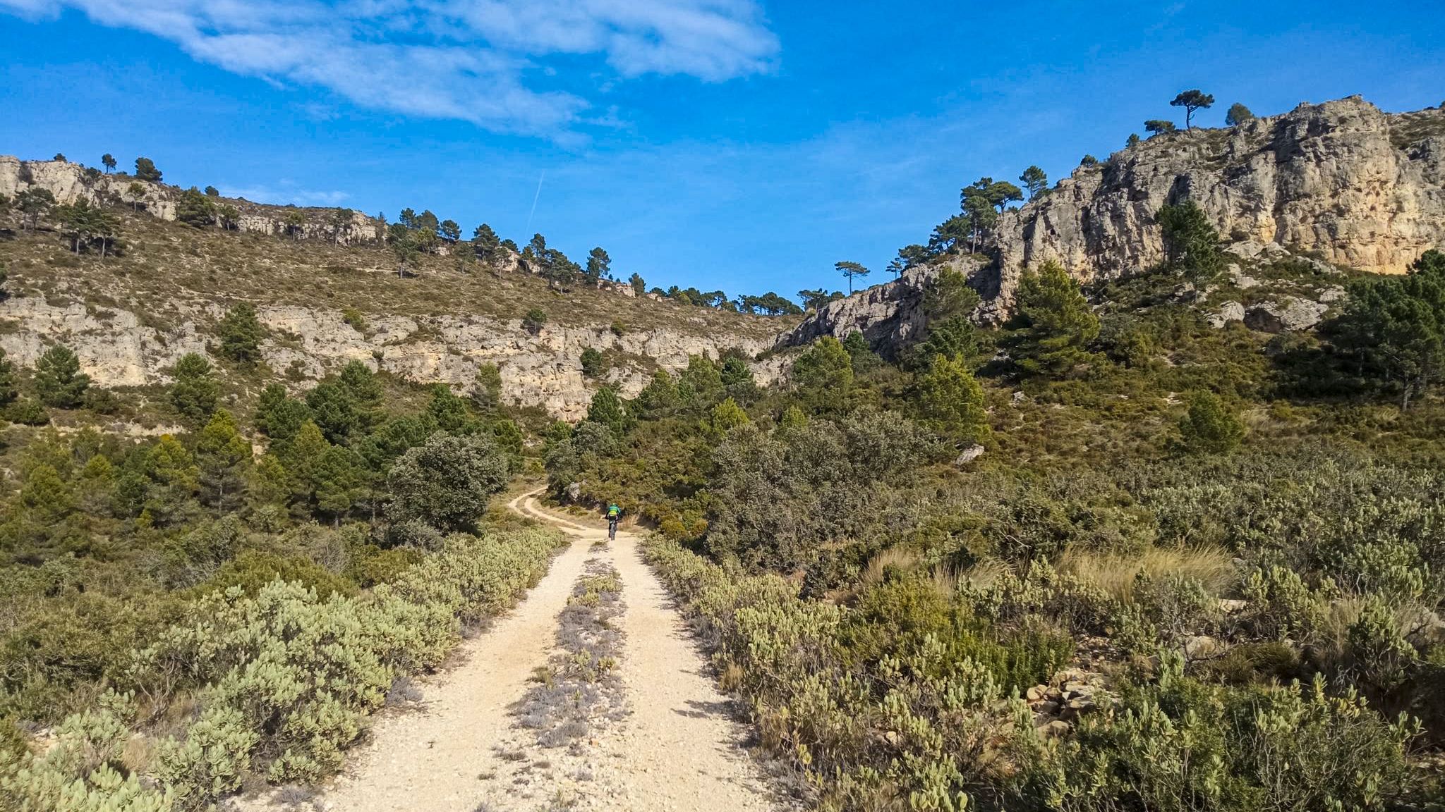
A well-maintained gravel forest track that runs through the beautiful Leiva valley.
0
0
Nice gravel road with good views.
0
0
A trail that runs through the beautiful Malvariche ravine from Prado Mayor. The trail is quite technical in some sections.
0
0

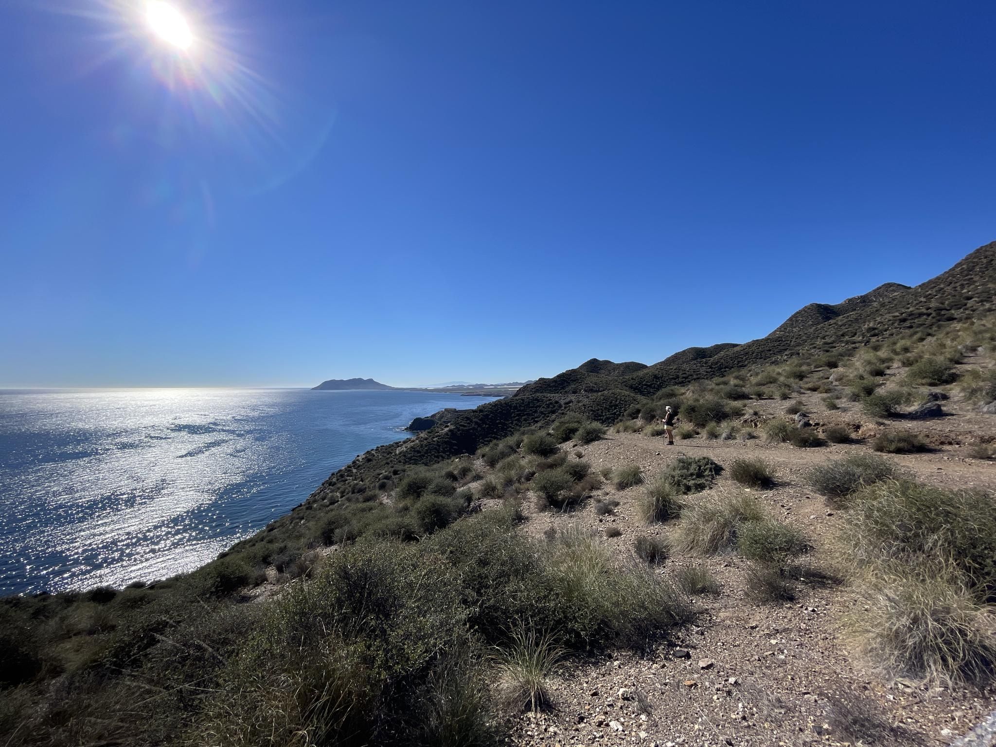
The trail passes through areas of great ecological value, with spectacular views of the sea and the cliffs of the cape.
3
1


Very good route to do on a mountain bike
0
0
Spectacular trekking route with a steep slope
0
0
Frequently Asked Questions
What kind of natural features can I expect to see in the canyons around Alto Guadalentín?
The canyons around Alto Guadalentín are characterized by impressive eroded landscapes, often referred to as 'badlands' topography. You'll find dramatic ravines, gullies, and unique geological formations carved into the terrain, offering spectacular views and a sense of wilderness. The region's semi-arid climate contributes to these distinct features.
Is traditional water-based canyoning available in Alto Guadalentín?
While the term 'canyons' is used, traditional water-based canyoning (involving significant water flow, rappelling, and jumping) is generally not prevalent directly within Alto Guadalentín. The Guadalentín river in this area often has low or dry flow. The region is more known for its visually striking eroded landscapes and 'barrancos' (ravines) that are ideal for hiking and appreciating geological features.
Where can I experience the most dramatic eroded landscapes?
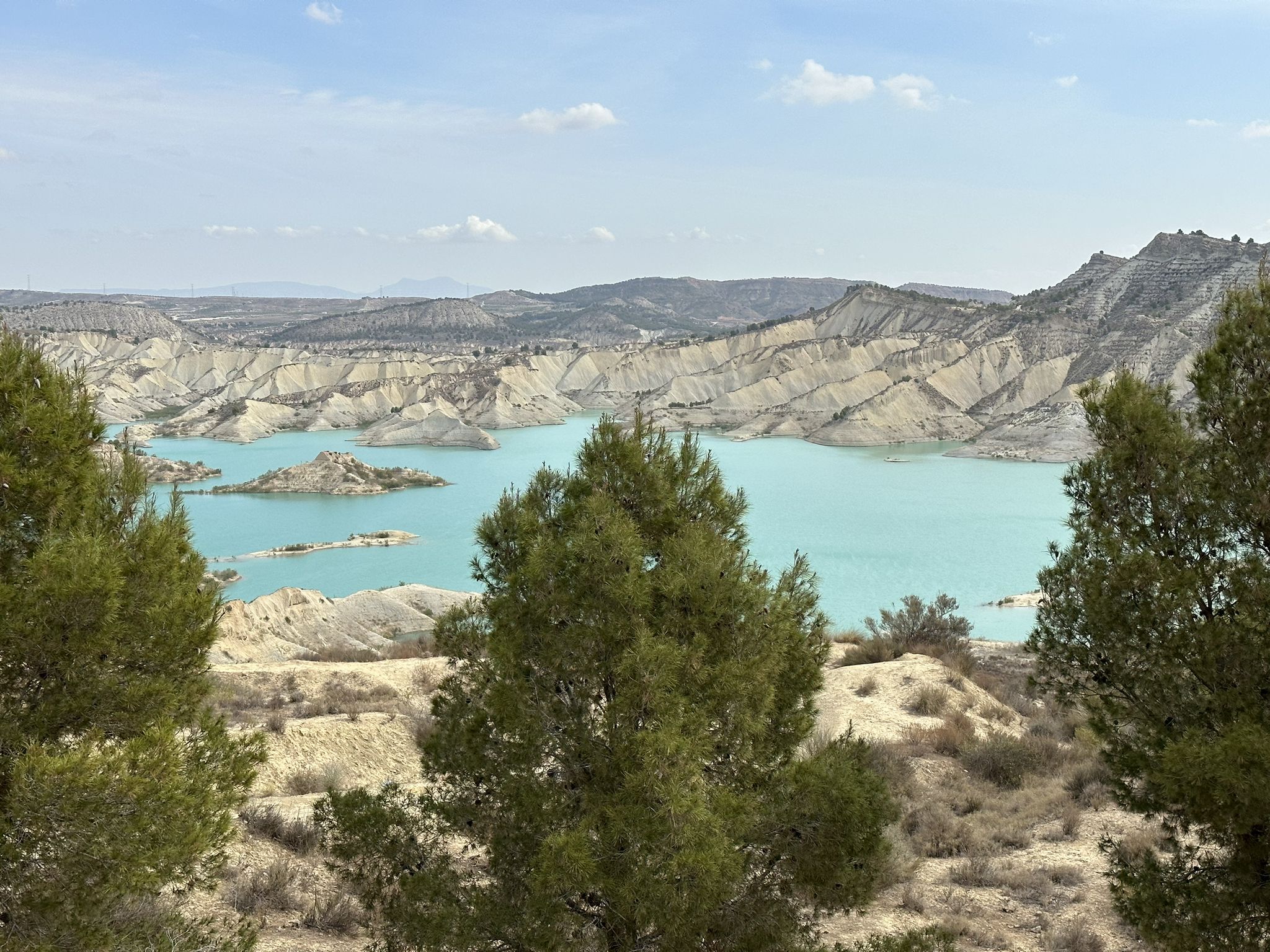
For some of the most dramatic eroded landscapes, visit the Eroded Landscapes Trail, Barrancos de Gebas Protected Landscape. This area, though located in the adjacent Bajo Guadalentín comarca, is an outstanding example of 'badlands' topography, with an almost lunar landscape formed by extensive erosion. It's highly recommended for its unique geomorphological structure.
Are there any unique geological formations to explore?
Yes, the region offers several unique geological formations. The Estrecho de la Arboleja is a short but impressive gorge known for its unique and extraordinary appearance. Additionally, you can find a notable Rock arch near Cabo Cope, which is a natural monument offering challenging views.
What wildlife might I encounter in the canyons of Alto Guadalentín?
The eroded landscapes and 'barrancos' of the region, particularly areas like Barrancos de Gebas, host steppe-type fauna. You might encounter various rodents and small mammals, as well as specific flora adapted to gypsum steppes. Birdwatching can also be rewarding in these rugged environments.
Which canyons offer impressive views?
Several locations provide impressive views. The Barranco de los Ballesteros – Lentisco Trail offers dreamlike views of the ravine. The Views of the Barranco de los Frailes is another natural monument known for its scenic outlooks. For broader panoramas, the Mountain Views highlight provides amazing vistas from a high viewpoint in Sierra Espuña.
Are there any man-made features integrated with the natural canyons?
Yes, you can explore the El Berro Water Canal. This man-made feature takes you near the course of an old canal, revealing the human work of the past integrated into the natural landscape, offering a distinct experience.
What is the best time of year to visit the canyons in Alto Guadalentín?
Given the semi-arid climate, the best time to visit the canyons in Alto Guadalentín is typically during the cooler months, from autumn to spring (October to May). Summers can be very hot and dry, making outdoor activities less comfortable. Spring offers pleasant temperatures and potentially more vibrant flora.
Are there family-friendly options for exploring the canyons?
While specific 'family_friendly' categories are not listed for all canyon highlights, many trails through the eroded landscapes can be enjoyed by families, depending on their difficulty. For example, the Estrecho de la Arboleja is a short and impressive gorge that can be explored with care. Always check the trail difficulty and prepare accordingly for younger visitors.
What outdoor activities can I do near these canyons?
Beyond exploring the canyons themselves, the Alto Guadalentín region offers a variety of outdoor activities. You can find numerous road cycling routes, including challenging climbs like the 'Morrón de Sierra Espuña Loop from Totana'. There are also gravel biking opportunities, such as the 'Sierra Espuña gravel tour', and various hiking trails, including 'Waterfall hikes' like the 'Usero Waterfall – Salto del Usero loop'. For more details on these activities, you can explore the Road Cycling Routes around Alto Guadalentín, Gravel biking around Alto Guadalentín, and Waterfall hikes around Alto Guadalentín guides.
What do visitors enjoy most about the canyons in Alto Guadalentín?
Visitors particularly enjoy the unique and extraordinary appearance of the gorges, with many highlighting the impressive and apocalyptic landscapes formed by erosion. The sense of entering 'another dimension' when exploring areas like the old water canal, and the dreamlike views from various viewpoints, are frequently praised. The region's natural beauty and geological distinctiveness are a major draw.
Are there challenging canyon routes for experienced hikers?
Yes, for experienced hikers seeking a challenge, routes like the Barranco de los Ballesteros – Lentisco Trail are marked as challenging, with sections that may have loose stones. The Rock arch near Cabo Cope also offers a challenging trail. Always check current conditions and prepare appropriately for difficult terrain.
Most popular routes around Alto Guadalentín
Most popular attractions around Alto Guadalentín

Get inspired with the komoot mobile app


Didn’t find what you were looking for?
Want to see even more gorges? See the best ones around Alto Guadalentín region by region:
Explore more
Already discovered everything in this region? See additional gorges around Alto Guadalentín for your next adventure:
