The best hikes from bus stations around Alto Guadalentín
4.5
(3620)
14,233
hikers
58
hikes
Bus station hiking trails around Alto Guadalentín traverse a diverse landscape within Murcia, Spain, characterized by a mix of mountains, plains, and coastal environments. The region's semi-arid climate influences its natural features, including the Guadalentín River and unique geological formations like the Bolnuevo Sandstone Formations. Hikers can explore varied terrain, from riparian ecosystems along the river to coastal paths and agricultural lands.
Best bus station hiking trails around Alto Guadalentín
- The most popular bus station hiking route is From Puerto de Mazarrón to the Gredas de Bolnuevo, a 4.0 miles (6.5 km) trail that takes 1 hour 39 minutes to complete. This easy route offers views of the coastline and the unique sandstone formations.
- Another top favourite among local hikers is The viewpoint of the Algeciras Reservoir — Circular from Alhama de Murcia, a moderate 9.2 miles (14.8 km) path. This route features a significant elevation gain of 1410 feet (430 m) and panoramic reservoir views.
- Local hikers also love the Bolnuevo Sandstone Formations – Cueva Lobos Beach loop from Playa de Bolnuevo, a 6.6 miles (10.7 km) trail leading through coastal scenery and geological formations, often completed in about 2 hours 50 minutes.
- Hiking around Alto Guadalentín is defined by coastal paths, sandstone formations, and riverine landscapes. The network offers options for various ability levels, from easy coastal walks to moderate routes with elevation changes.
- The routes in Alto Guadalentín are highly rated by the komoot community with an average score of 4.5 stars from more than 3,200 reviews. More than 13,000 hikers have used komoot to explore Alto Guadalentín's varied terrain.
Last updated: July 3, 2026
5.0
(14)
46
hikers
6.55km
01:39
10m
10m
Easy hike. Great for any fitness level. Easily-accessible paths. Suitable for all skill levels.
4.4
(5)
24
hikers
14.8km
04:23
430m
430m
Moderate hike. Good fitness required. Easily-accessible paths. Suitable for all skill levels.

Sign up for free
4.2
(6)
53
hikers
Moderate hike. Good fitness required. Easily-accessible paths. Suitable for all skill levels.
4.4
(12)
33
hikers
Moderate hike. Good fitness required. Easily-accessible paths. Suitable for all skill levels.
4.6
(11)
38
hikers
Moderate hike. Good fitness required. Easily-accessible paths. Suitable for all skill levels.
Get access to more routes and recommendations from other explorers.
Sign up for free
Already have an account?
Our route recommendations are based on thousands of hikes, rides, and runs completed by other people on komoot.
Start today with a free account
Your next adventure awaits.
Login or Signup
Popular around Alto Guadalentín
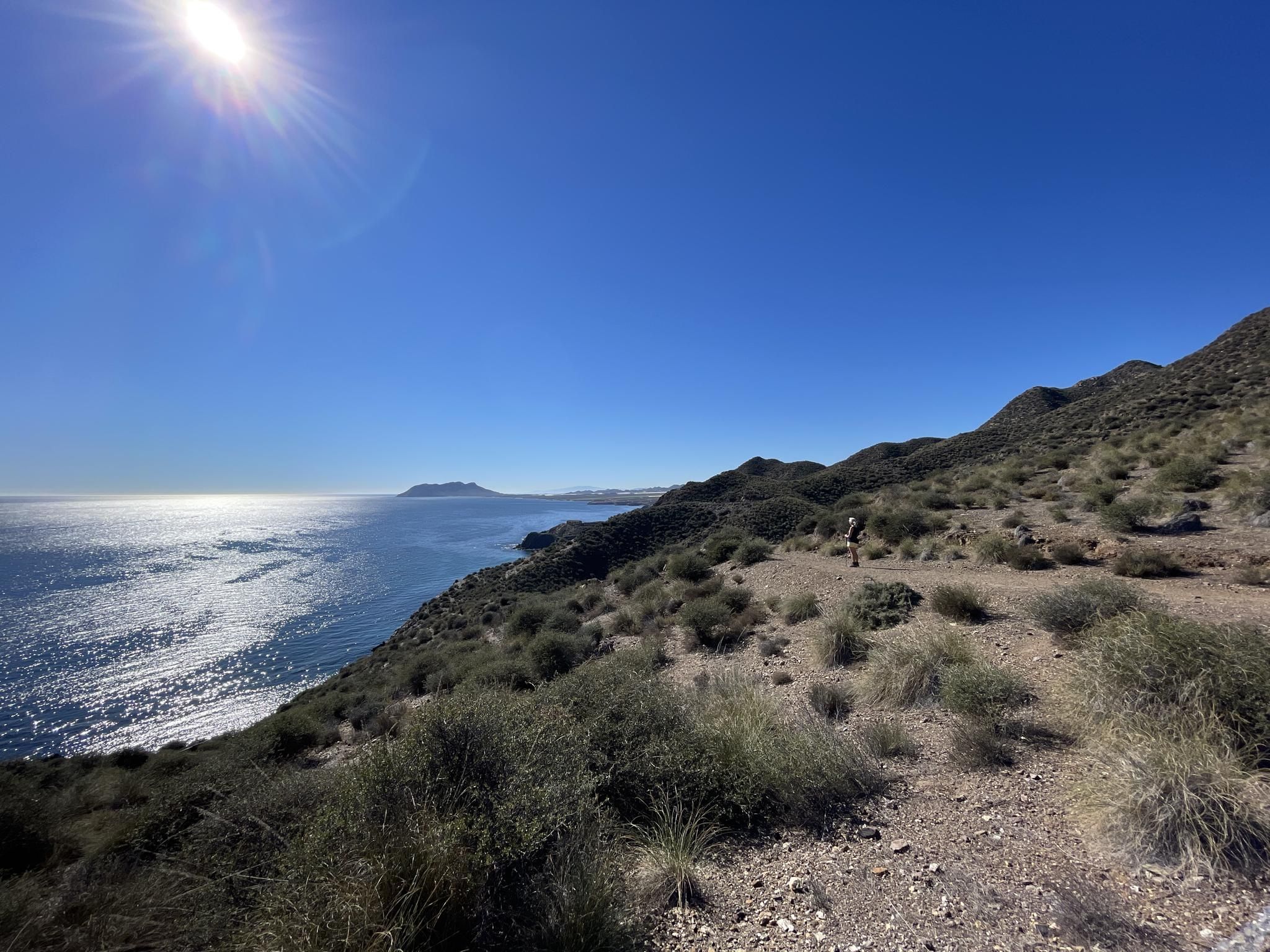
Mediterranean industry and nature – hike the GR 92 in Murcia
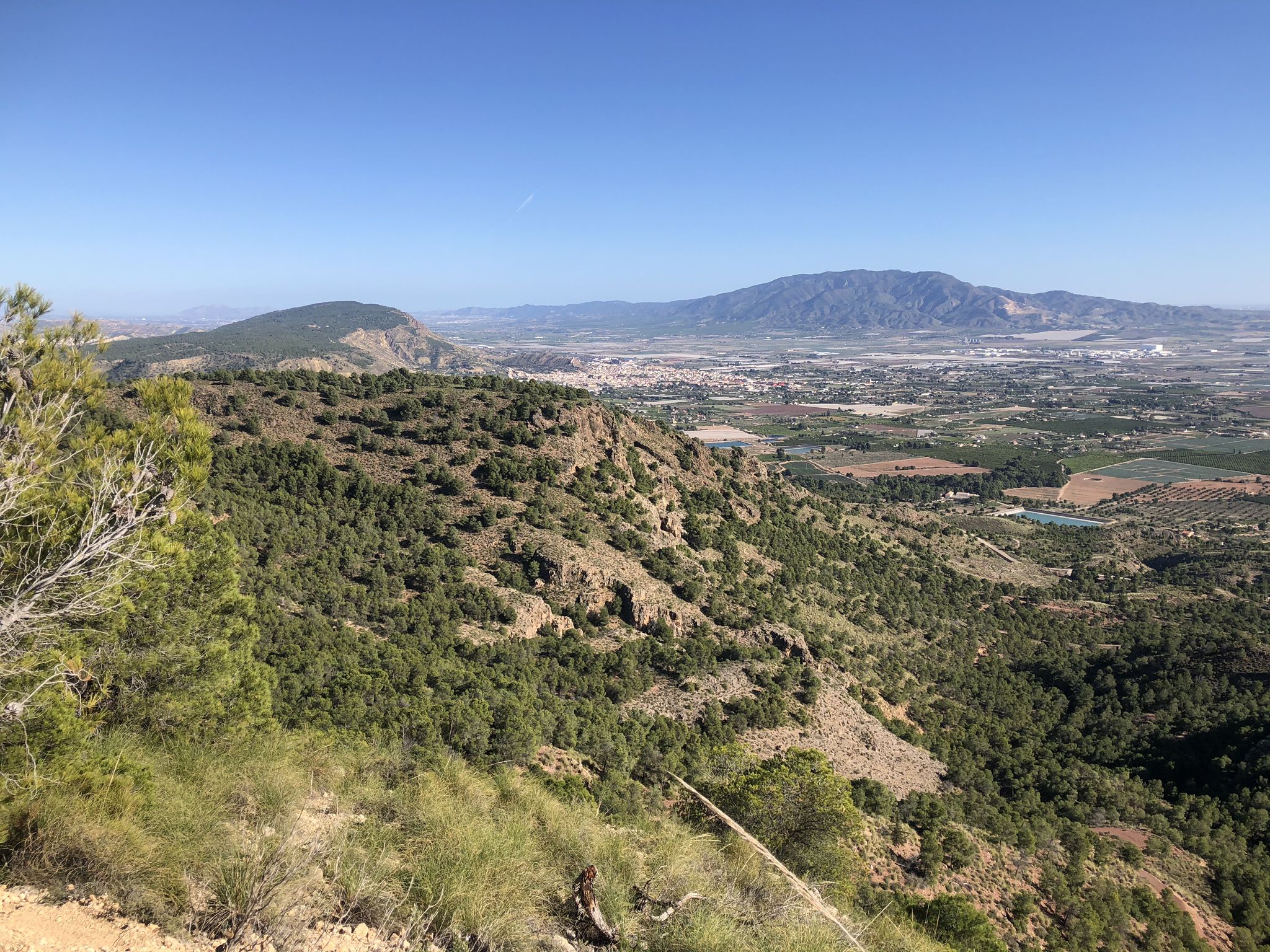
The lungs of Murcia in Spain – Sierra Espuña

On the road to the sun — bikepacking to southeast Spain
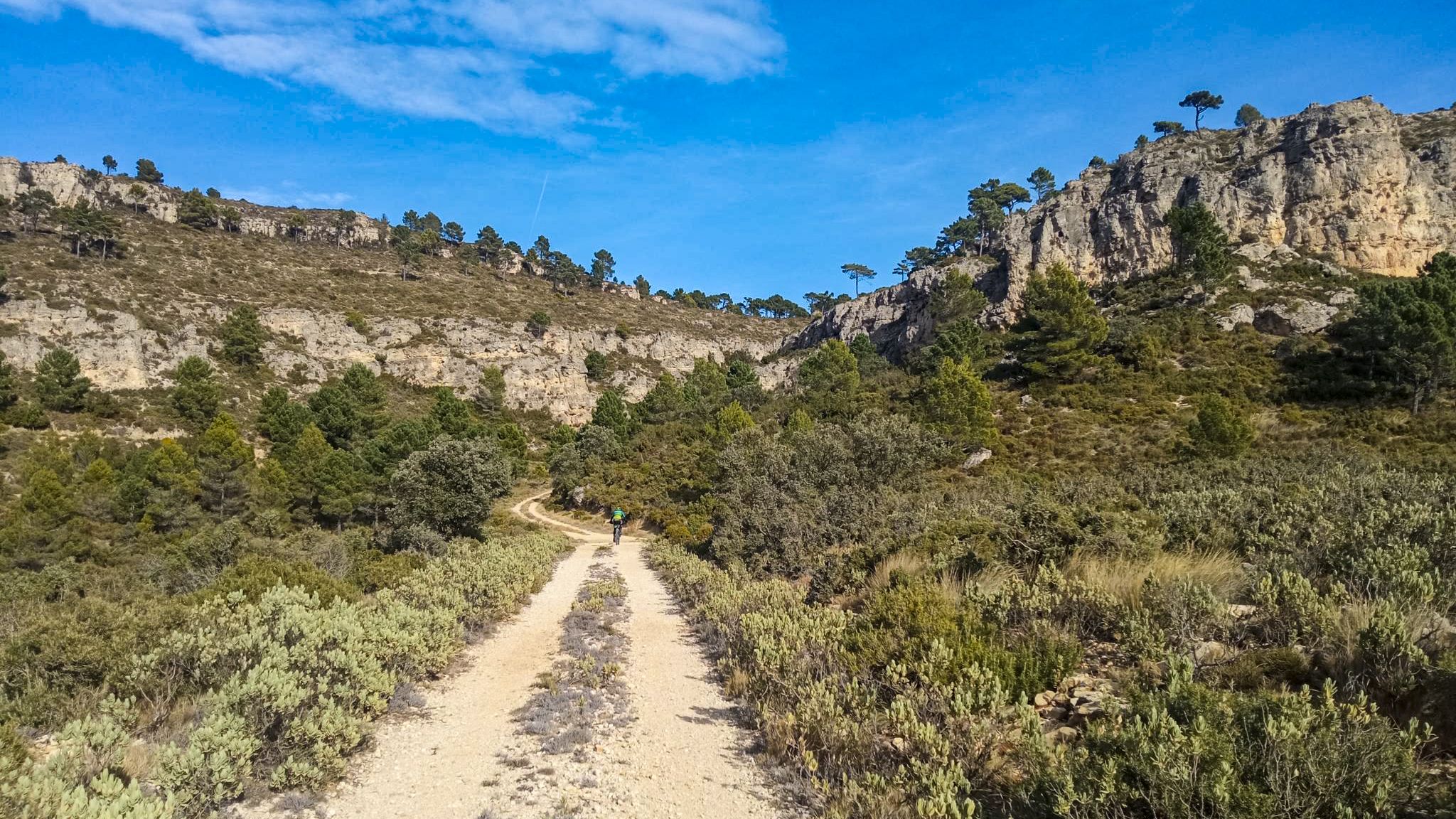
10 gravel routes to discover hidden gems in Spain
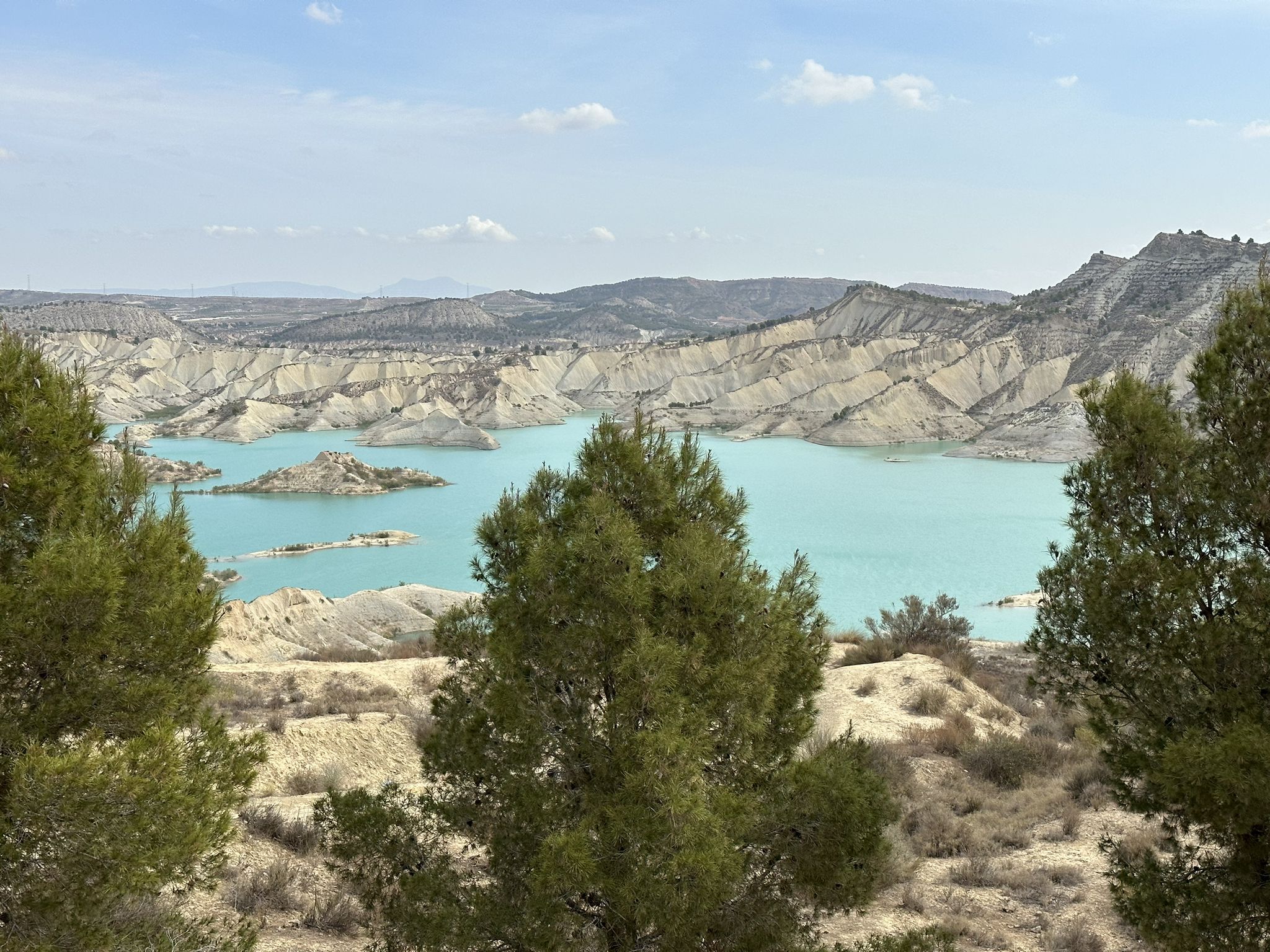
Disconnection in the mountains – Sierra Espuña by MTB
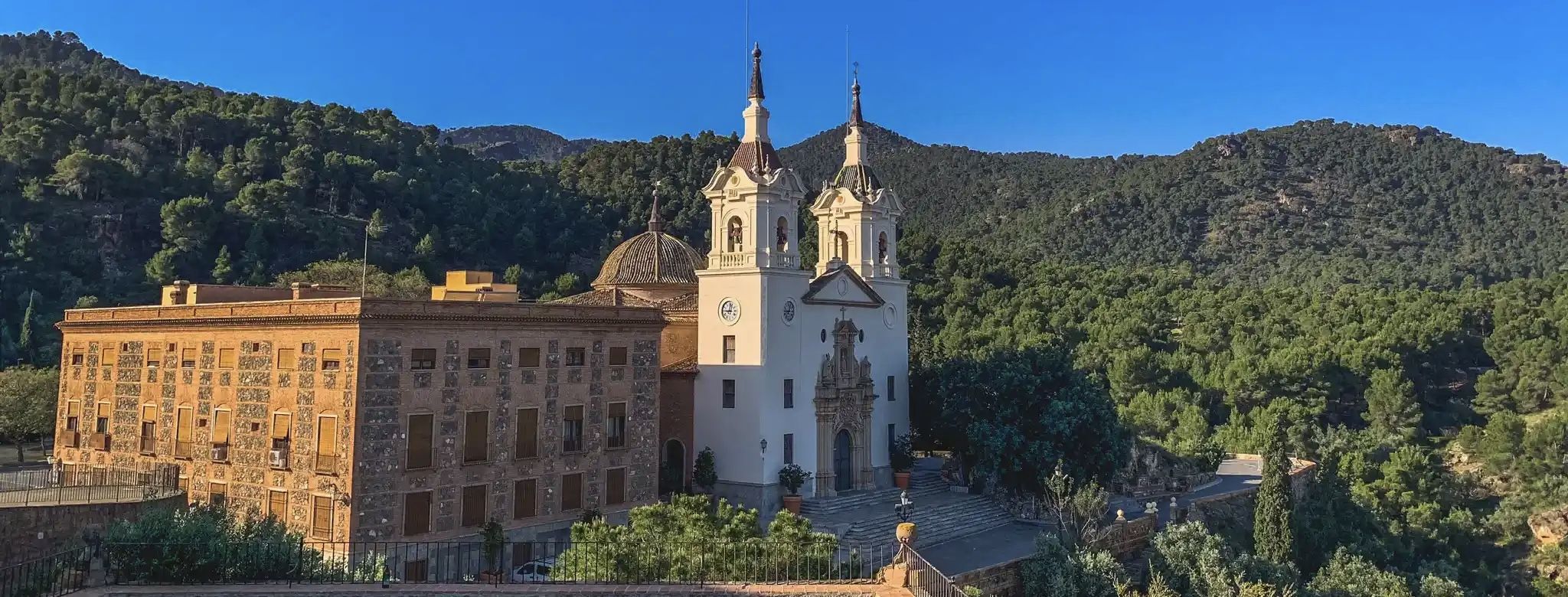
A ride through the "Huerta de Europa" – Transmurciana on MTB

Let’s head south – cycle in Andalusia with me and my dog
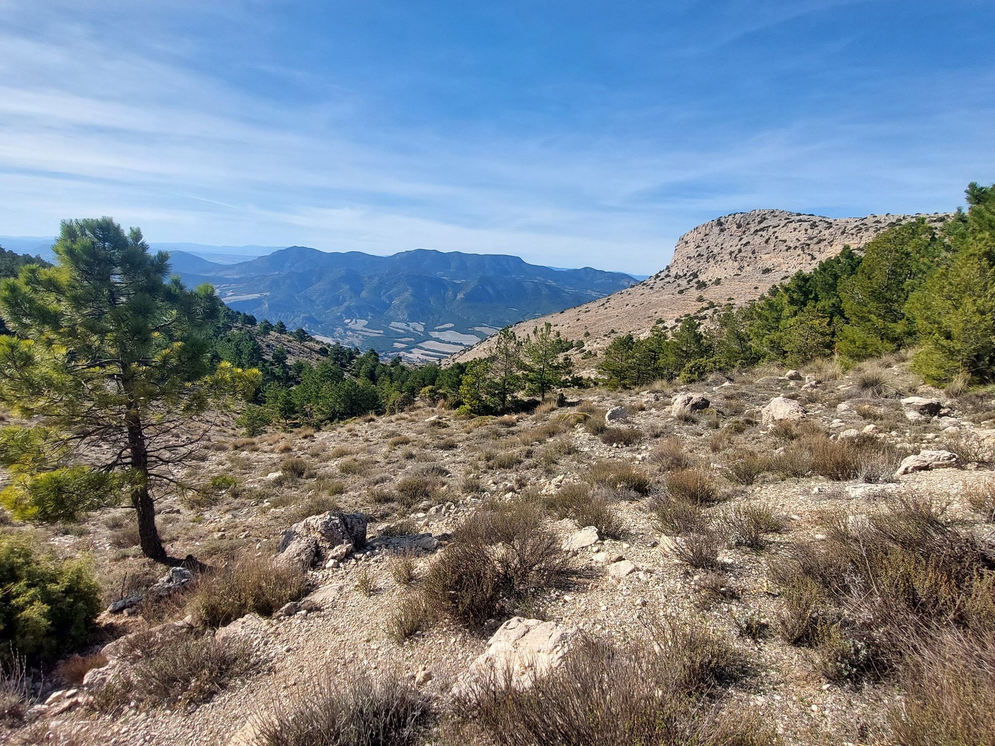
Badlands, limestone hills and pine forests – cycle around Sierra Espuña
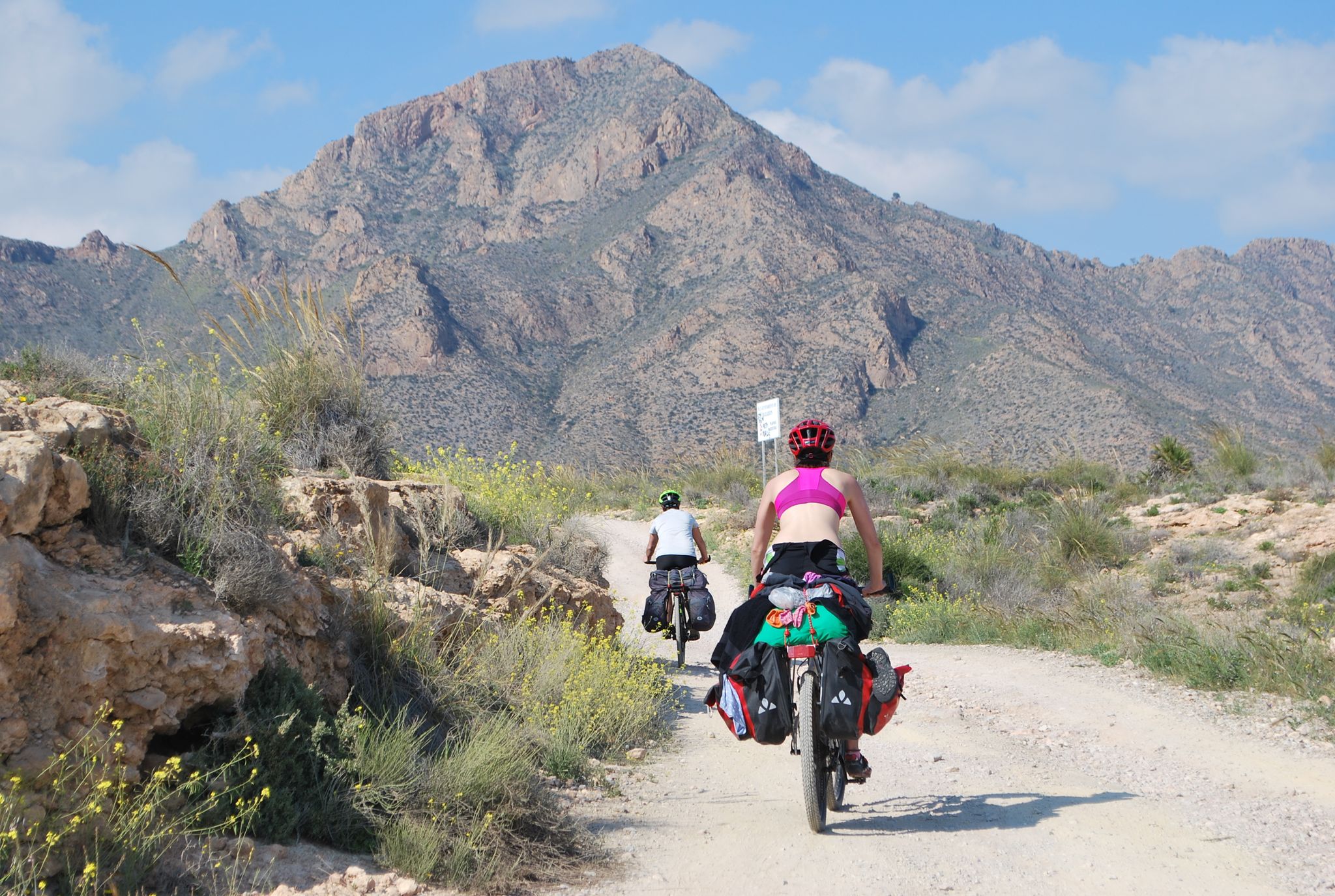
Mediterranean coastal paradise – EuroVelo 8 in Spain
Other adventures around Alto Guadalentín


Tips from the Community

Impressive!
1
1

So beautiful: The Rambla de Algeciras reservoir is a crucial water reservoir in the Region of Murcia, Spain. It was built for flood control (of the Segura River), water storage, and irrigation regulation. The area offers many hiking and cycling opportunities and offers views of the nearby Barrancos de Gebas.
5
1
A natural monument, the enchanting town of Bolnuevo is one of the most beautiful places in the region, so much so that the rock formations, known as "mushrooms," have been declared a natural monument.
14
1

Good footwear and good physical condition, something to drink and a small snack would be good.
0
0

Paths are clear and there are some options to shorten or extend your walk. In summer, make sure you have plenty of water and sunscreen as there is no tree cover.
0
0

along the canal, paved path. Several hikes are possible around the area.
1
1

The Mirador del Embalse de la Rambla de Algeciras is an observation point that offers stunning panoramic views of the reservoir and its surroundings. From this viewing point, visitors can enjoy the natural beauty of the region, including the waters of the reservoir and the mountainous landscape that surrounds it. It is an ideal place for nature and photography lovers, as it provides an excellent opportunity to capture the serenity and majesty of the surroundings. In addition, it is a good starting point for hiking and exploring the area.
7
0

Frequently Asked Questions
How many bus-accessible hiking trails are available in Alto Guadalentín?
There are over 60 hiking trails in Alto Guadalentín that are accessible via bus, offering a wide range of experiences. These include 25 easy routes, 34 moderate routes, and 2 more challenging options, ensuring something for every hiker.
What kind of natural landmarks can I expect to see on these bus-accessible hikes?
The region boasts diverse natural landmarks. You can explore the unique Bolnuevo Sandstone Formations, which are sculpted by wind and water, or discover beautiful coastal areas like Los Cocedores Beach. Inland, you'll find significant water features such as the Rambla de Algeciras Reservoir and its associated viewpoints.
Are there any family-friendly bus station hikes in Alto Guadalentín?
Yes, many of the easy routes are suitable for families. For instance, the route From Puerto de Mazarrón to the Gredas de Bolnuevo is an easy option that allows you to experience the unique coastal formations without significant elevation gain, making it enjoyable for all ages.
What is the best time of year to go hiking in Alto Guadalentín, especially using public transport?
Due to Alto Guadalentín's semi-arid climate, spring (March to May) and autumn (September to November) are generally the most pleasant times for hiking. Temperatures are milder, making it comfortable for walking and waiting at bus stops. Summers can be very hot, and winters, while mild, can have cooler mornings.
Are there any circular hiking routes accessible by bus?
Yes, there are several circular routes. A great example is The viewpoint of the Algeciras Reservoir — Circular from Alhama de Murcia, which offers a moderate loop starting and ending in a town likely served by bus routes. Another option is the Hiking loop from Puerto de Mazarrón, providing an easy coastal circuit.
What do other hikers say about the trails in Alto Guadalentín?
The komoot community highly rates the hiking experiences in Alto Guadalentín, with an average score of 4.5 stars from over 3,200 ratings. Hikers often praise the diverse landscapes, from unique rock formations to serene reservoirs, and the accessibility of many trails.
Can I find trails that offer coastal views and access to beaches?
Absolutely. The region's coastal areas provide stunning views and access to beaches. Routes like Bolnuevo Sandstone Formations – Cueva Lobos Beach loop from Playa de Bolnuevo allow you to explore the iconic sandstone formations and enjoy the beautiful coastline, including places like Los Cocedores Beach.
Are there any hikes that feature reservoirs or water bodies?
Yes, the region has several trails that lead to or around reservoirs. The Rambla de Algeciras Reservoir is a prominent feature, and you can find routes that offer views of it, such as from the Algeciras Reservoir Viewpoint. The Puentes Reservoir and Dam is another significant water body in the area.
Are there any easy, short hikes from bus stops for beginners?
For beginners or those looking for a shorter, easier walk, the region offers several options. The From Puerto de Mazarrón to the Gredas de Bolnuevo route is an easy 6.5 km trail with minimal elevation, perfect for a relaxed introduction to hiking in Alto Guadalentín.
What kind of terrain can I expect on bus-accessible hikes in Alto Guadalentín?
The terrain is quite varied, reflecting the region's diverse geography. You'll encounter coastal paths with unique sandstone formations, trails through plains and agricultural lands, and some routes that venture into mountainous areas. The Guadalentín River also frames areas with dense riparian vegetation, offering different walking surfaces.
Are there any specific viewpoints or scenic overlooks accessible by bus routes?
Yes, several trails lead to stunning viewpoints. The Algeciras Reservoir Viewpoint offers panoramic views of the reservoir and surrounding landscape. Additionally, the region features areas like Mirador de la Aguilica, known for its scenic vistas, which can be incorporated into bus-accessible routes.
Most popular routes around Alto Guadalentín
Most popular attractions around Alto Guadalentín

Get inspired with the komoot mobile app


Explore more
Browse the best Hikes in other regions.
