The best road cycling routes around Alto Guadalentín
4.3
(269)
13,305
riders
468
rides
Road cycling routes around Alto Guadalentín traverse a diverse landscape in Murcia, Spain, characterized by a semi-arid climate. The region features a mix of coastal areas, extensive plains, and mountainous terrain, including the Sierra Espuña. Cyclists encounter varied environments, from cultivated orchards in the Guadalentín Valley to unique geological formations and reservoirs. This topography provides a range of road cycling experiences, from flat sections to significant climbs.
Best road cycling routes around Alto Guadalentín
- The most popular road cycling route…
Last updated: July 3, 2026
5.0
(6)
233
riders
50.8km
04:04
1,280m
1,280m
Hard road ride. Very good fitness required. Some segments of this route may be unpaved and difficult to ride.
4.9
(8)
131
riders
67.6km
03:53
1,480m
1,480m
Hard road ride. Very good fitness required. Some segments of this route may be unpaved and difficult to ride.

Sign up for free
5.0
(3)
136
riders
Hard road ride. Good fitness required. You may need to push your bike for some segments of this route.
3.5
(2)
115
riders
Moderate road ride. Good fitness required. Mostly well-paved surfaces and easy to ride.
4.7
(6)
106
riders
53.0km
02:44
860m
860m
Moderate road ride. Good fitness required. Some segments of this route may be unpaved and difficult to ride.
4.0
(7)
101
riders
44.3km
02:04
540m
540m
Moderate road ride. Good fitness required. Some segments of this route may be unpaved and difficult to ride.
65
riders
64.3km
03:19
750m
760m
Moderate road ride. Good fitness required. Mostly well-paved surfaces and easy to ride.
53
riders
83.1km
05:11
1,010m
1,010m
Hard road ride. Very good fitness required. Some segments of this route may be unpaved and difficult to ride.
5.0
(2)
39
riders
101km
04:30
960m
960m
Hard road ride. Very good fitness required. Some segments of this route may be unpaved and difficult to ride.
5.0
(1)
35
riders
58.0km
02:51
830m
830m
Moderate road ride. Good fitness required. Some segments of this route may be unpaved and difficult to ride.
Get access to more routes and recommendations from other explorers.
Sign up for free
Already have an account?
Our route recommendations are based on thousands of hikes, rides, and runs completed by other people on komoot.
Start today with a free account
Your next adventure awaits.
Login or Signup
Popular around Alto Guadalentín
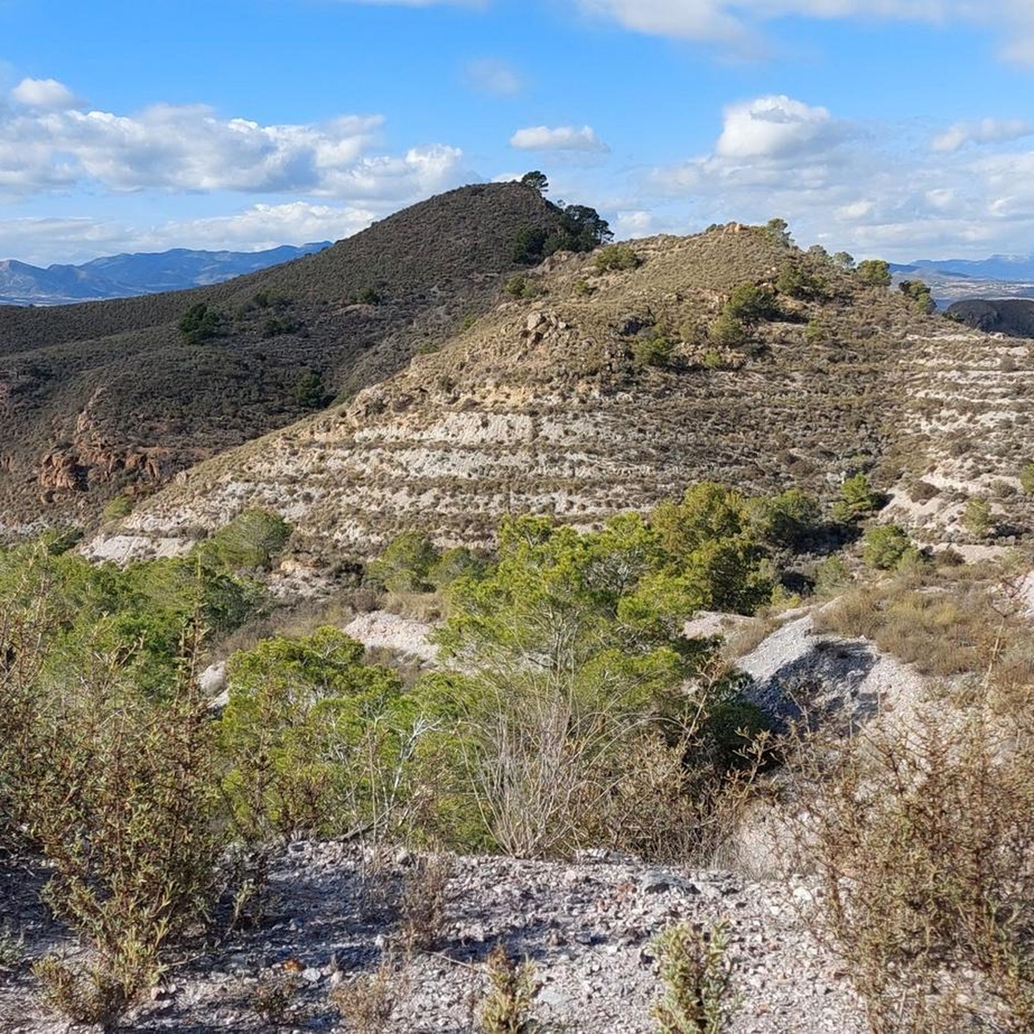
Road Cycling Routes around Mazarrón
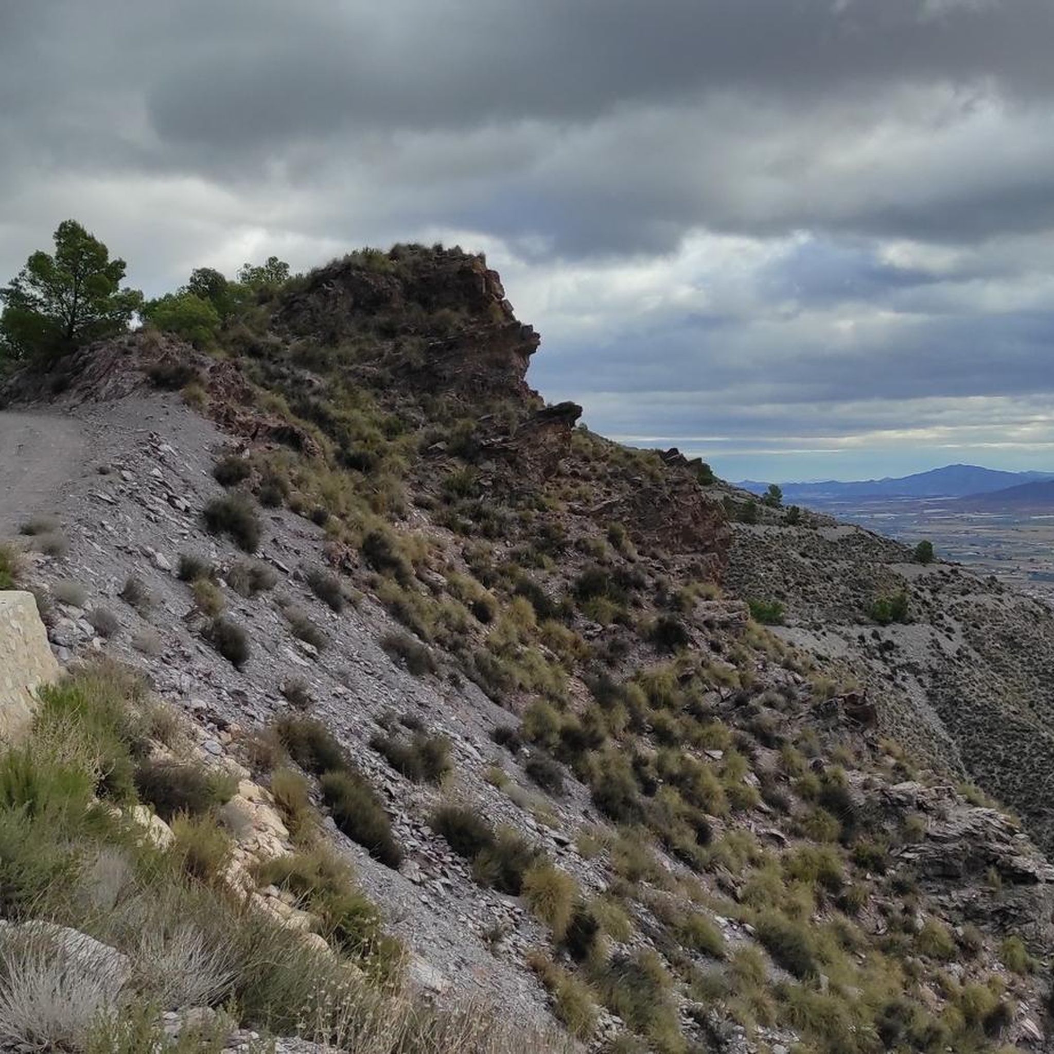
Road Cycling Routes around Lorca
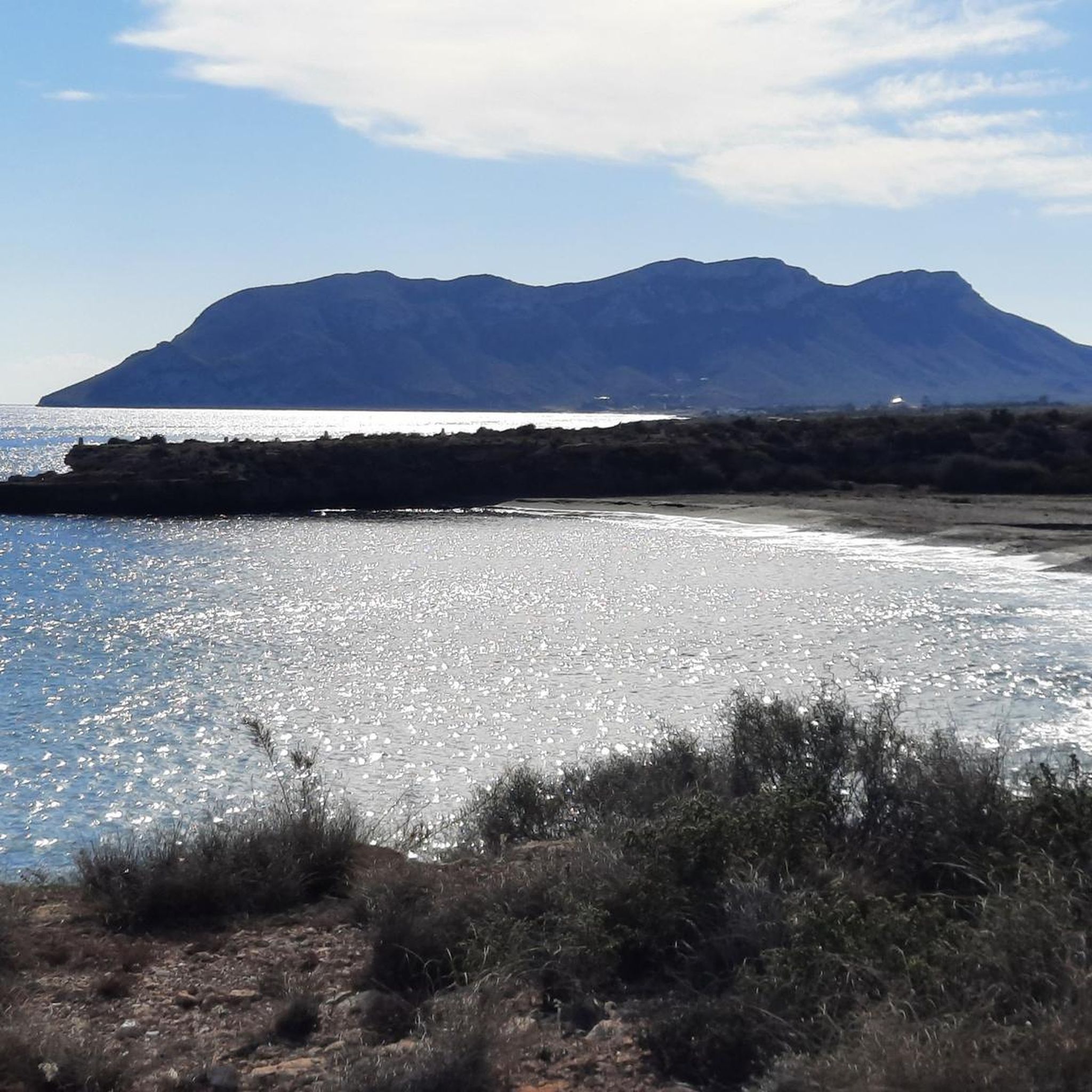
Road Cycling Routes around Águilas
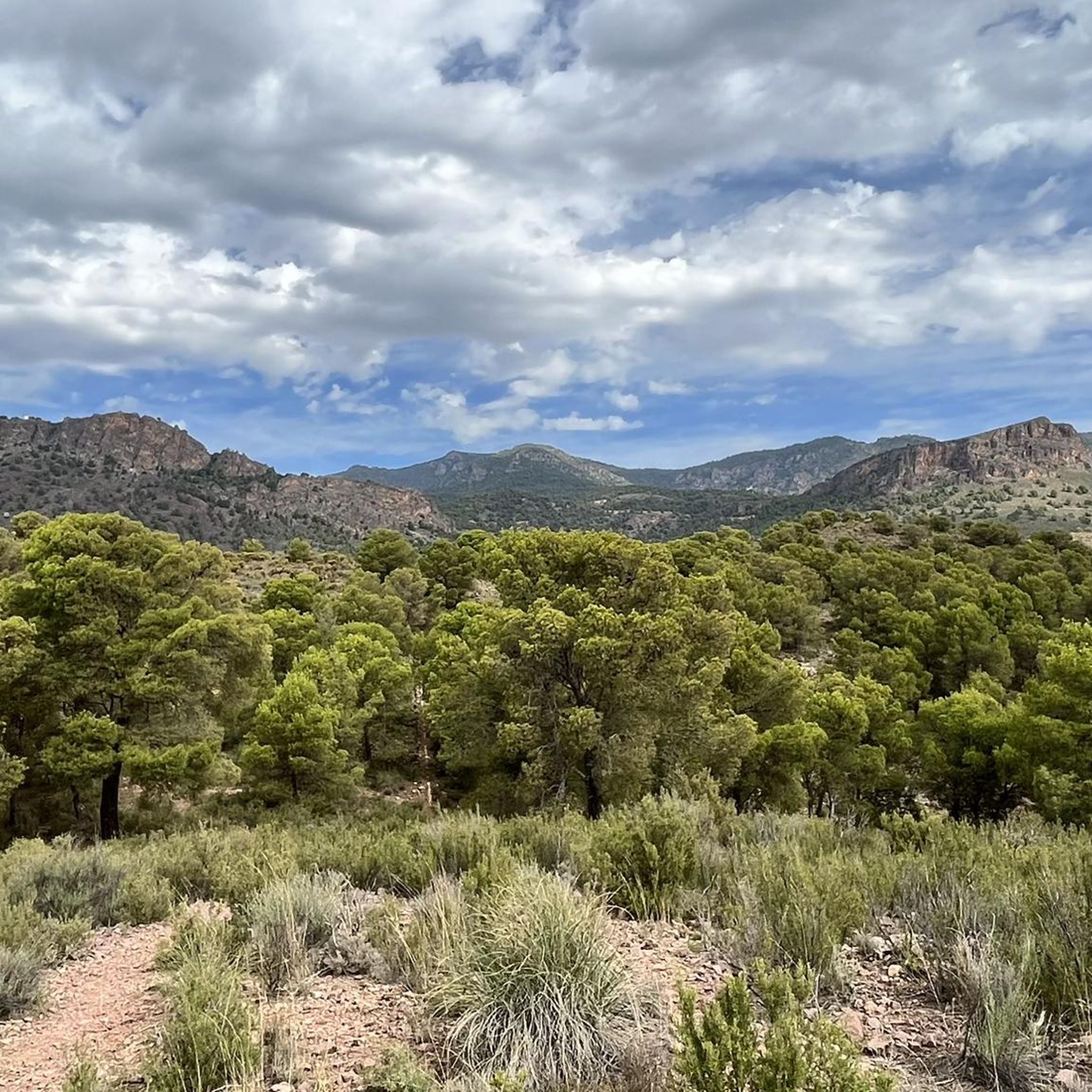
Road Cycling Routes around Totana
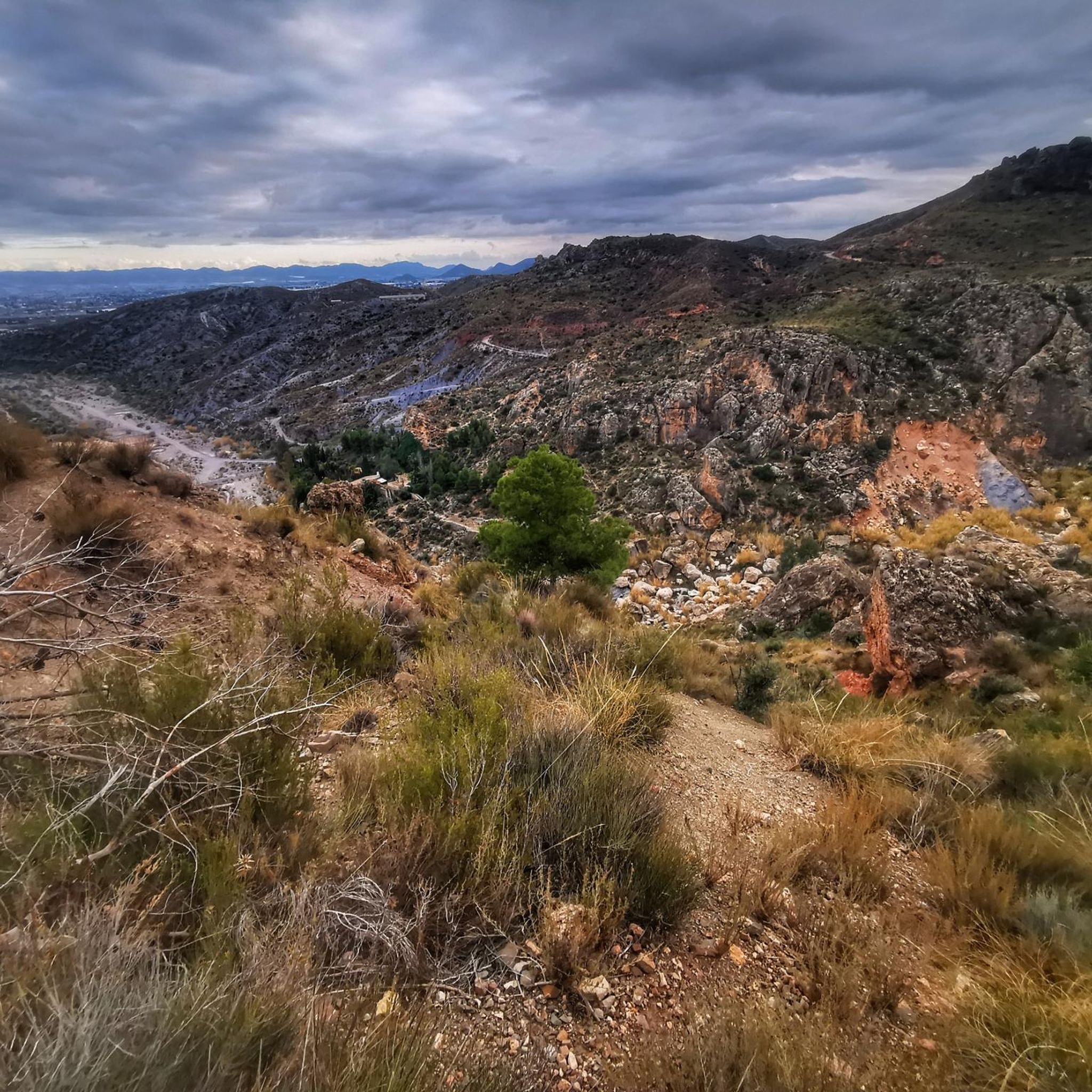
Road Cycling Routes around Puerto Lumbreras
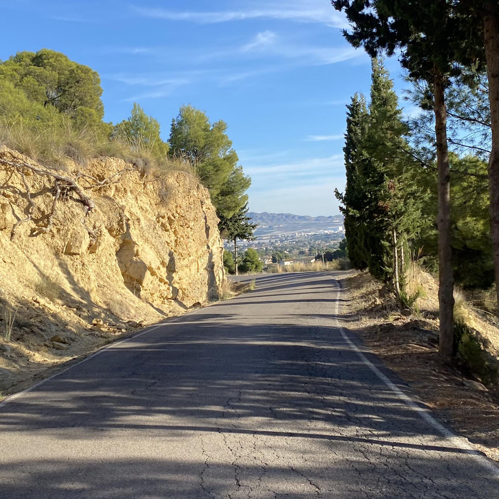
Road Cycling Routes around Alhama De Murcia
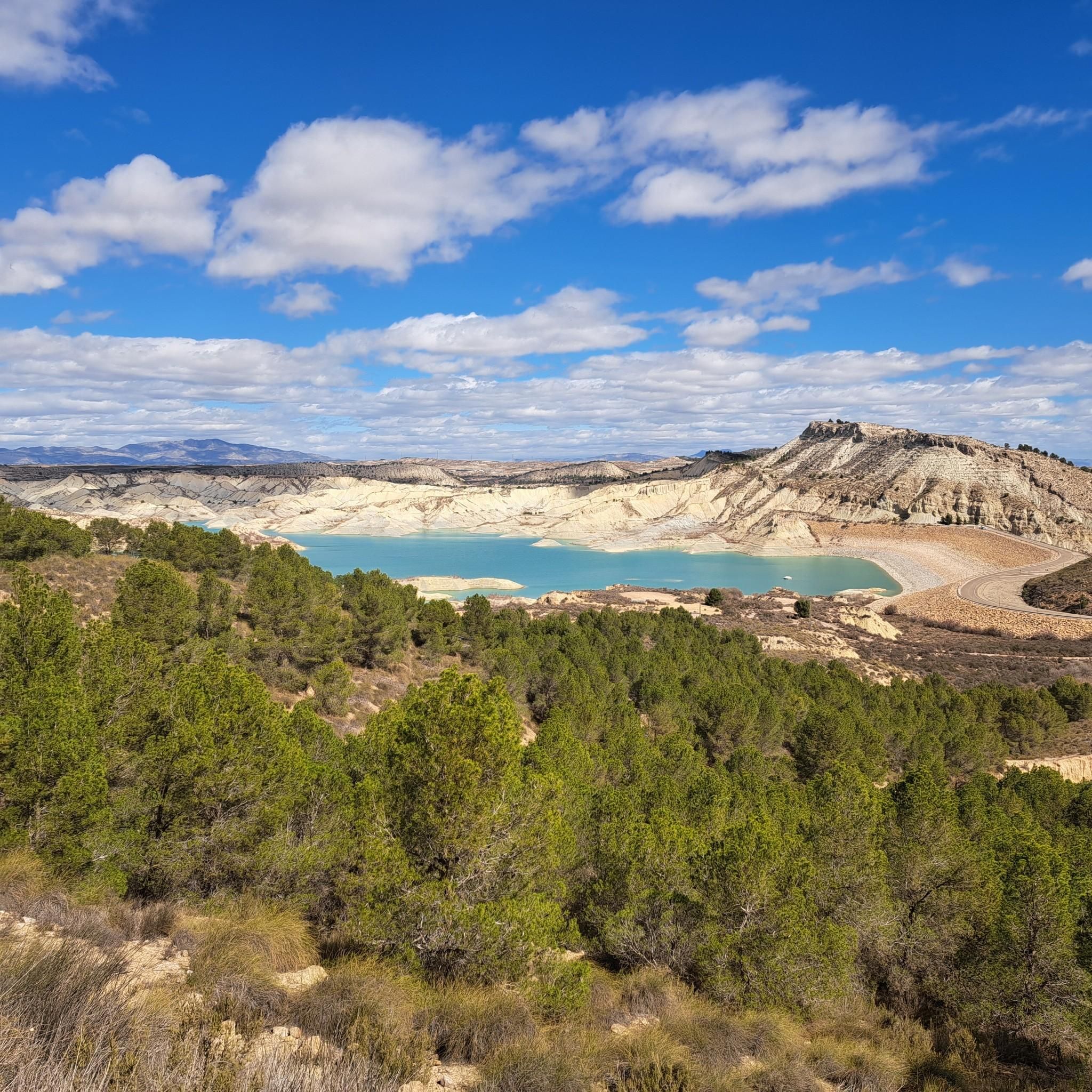
Road Cycling Routes in Sierra De La Muela
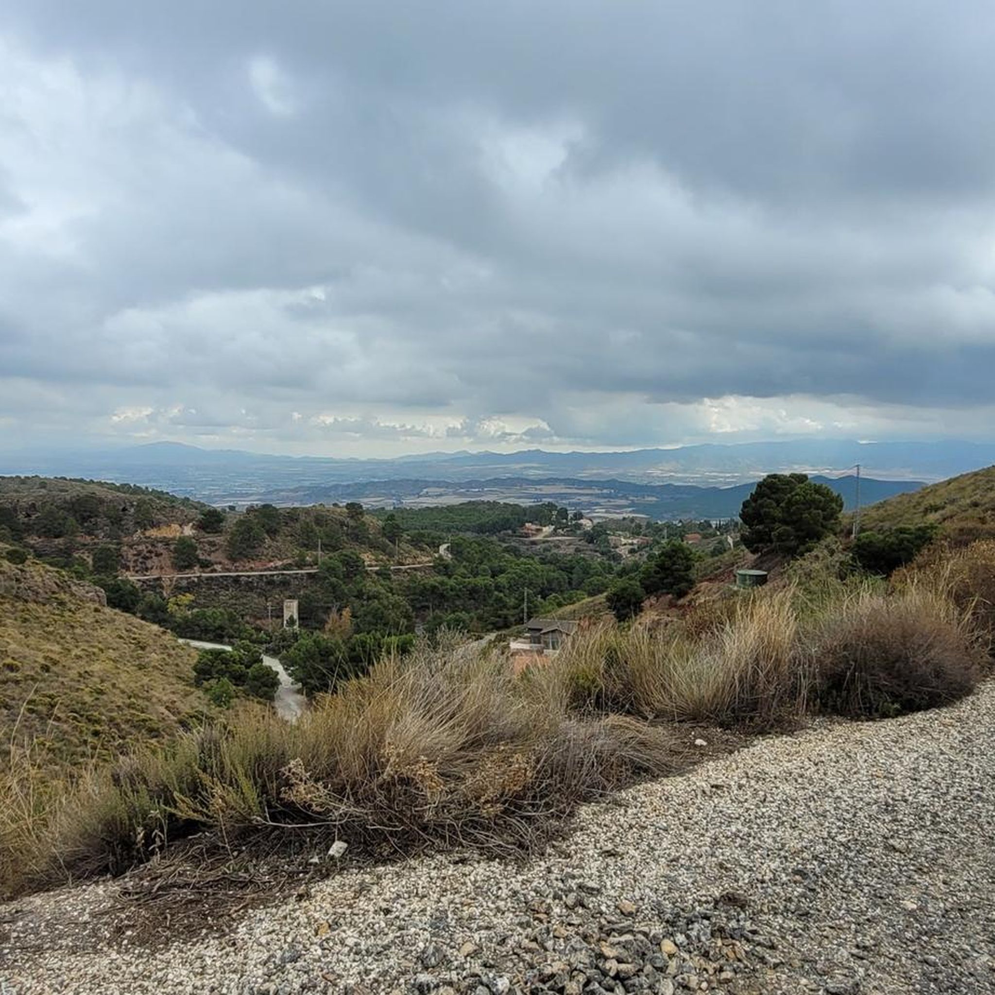
Road Cycling Routes around Aledo
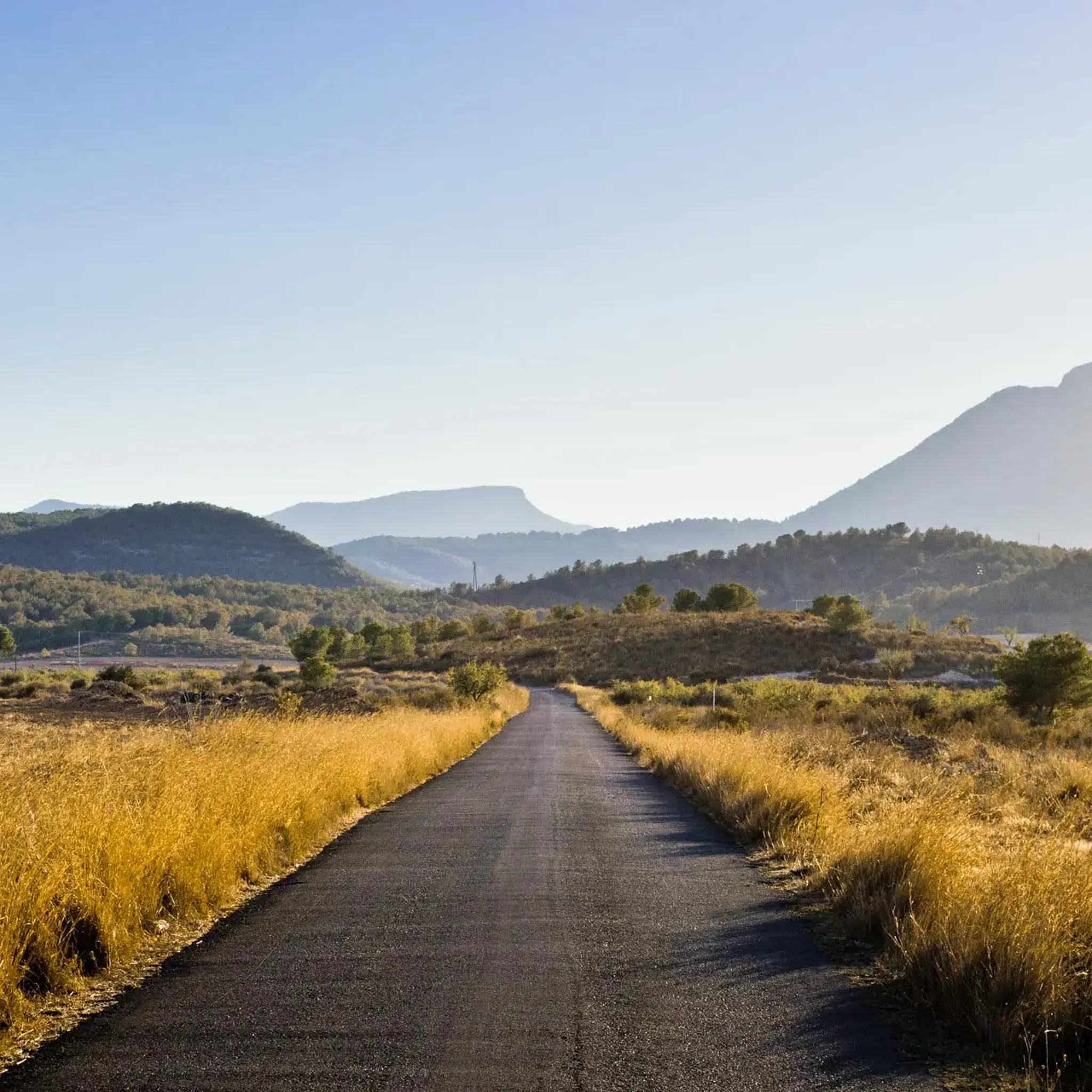
Road Cycling Routes in Sierra Espuña
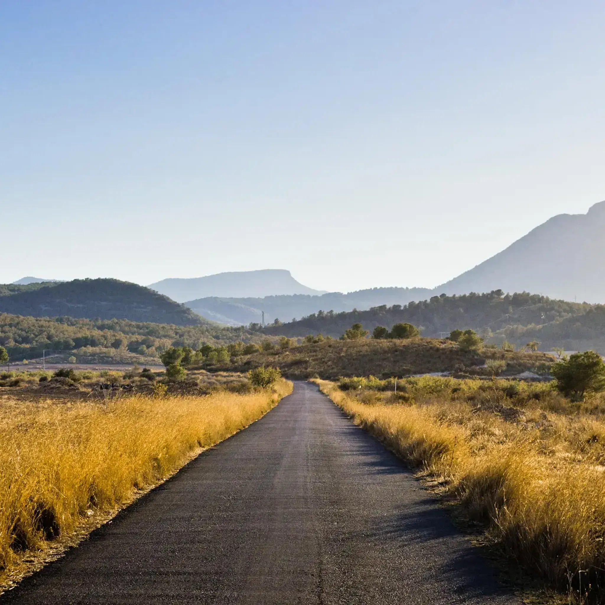
Road Cycling Routes around National Park Sierra Espuña
Other adventures around Alto Guadalentín


Tips from the Community

From the Ricardo Codorniú Visitor Centre, a very long forest track leads up to this mountain pass.
0
0

View of Lorca
0
0
Great view over the plain to Lorca. And in January the almond trees start to bloom.
0
0

Even though the summit of Espuña is a military restricted area and you can't plan the climb in Komoot, you can (and should) drive almost all the way up to the summit - it's worth it. In winter it can get very cold - it's the north side without any sun!
0
0
If you've had enough of the climbs, you can really put your foot on the gas on the canal, which is almost flat. It's a bit annoying because there are lots of speed bumps (to reduce speed) and floor gratings.
0
0
Summit of the pass through the Enspuña.
0
0
A great road north of Casas Nuevas. South of there is very little asphalt between all the holes. It's really no fun to drive! Be sure to check out the section highlights and trail view pictures!
0
0
Quite tight serpentines in the forest on mostly good asphalt.
0
0
Frequently Asked Questions
What kind of terrain can I expect on road cycling routes in Alto Guadalentín?
Alto Guadalentín offers a remarkably diverse landscape for road cycling. You'll find a mix of coastal routes, extensive plains, and mountainous terrain, including areas bordering the Sierra Espuña. This means routes can range from flatter sections through cultivated orchards in the Guadalentín Valley to significant climbs and descents in the sierras. The region's semi-arid climate also contributes to unique Mediterranean-type scrub vegetation, providing varied scenery.
Are there road cycling routes suitable for beginners or those seeking an easier ride?
Yes, Alto Guadalentín caters to various skill levels. While the region is known for challenging climbs, there are also flatter routes, particularly through the extensive plains and the 'rich orchard of Lorca'. These sections are ideal for more relaxed rides or for cyclists who prefer less demanding terrain. Out of over 475 routes, approximately 72 are rated as easy, offering accessible options for beginners.
What are some notable natural attractions or landmarks I might see along road cycling routes?
Road cycling in Alto Guadalentín can lead you past several unique natural attractions. You might encounter the striking Bolnuevo Sandstone Formations, sculpted by wind and water, or the picturesque Los Cocedores Beach with its eroded landscape. The region also features several reservoirs, such as the Rambla de Algeciras Reservoir, offering beautiful views from spots like the Algeciras Reservoir Viewpoint or the Cueva del Agua Viewpoint.
When is the best time of year to go road cycling in Alto Guadalentín?
The semi-arid climate of Alto Guadalentín makes it suitable for cycling for much of the year. Spring and autumn generally offer the most pleasant temperatures for road cycling, avoiding the intense heat of summer. However, even in winter, many days are mild enough for enjoyable rides. It's always advisable to check the local weather forecast before heading out.
Are there any long-distance or challenging road cycling routes for experienced riders?
Absolutely. Alto Guadalentín is well-regarded for its challenging routes, even hosting professional stage races like the Vuelta Ciclista al Guadalentín. Experienced riders can tackle routes with significant elevation gain, particularly in areas bordering the Sierra Espuña. For example, the Morrón de Sierra Espuña Loop from Totana is a difficult 50.8 km route with substantial climbing. Another demanding option is the Ascension to Morron de Sierra Espuna - circular from Alhama de Murcia, a 67.6 km path with over 1,400 meters of ascent.
Can I find circular road cycling routes in the Alto Guadalentín region?
Yes, many road cycling routes in Alto Guadalentín are designed as circular loops, allowing you to start and finish in the same location. This is a popular format for exploring the diverse landscapes without needing to arrange transport back. An example is the Sierra de la Torrecilla y Puerto Lumbreras — circular from Lorca, a moderate 64.3 km loop.
What do other cyclists say about road cycling in Alto Guadalentín?
The road cycling routes in Alto Guadalentín are highly rated by the komoot community, with an average score of 4.4 stars from over 200 reviews. More than 12,000 road cyclists have used komoot to explore the region, often praising the varied terrain that offers everything from coastal views to challenging mountain climbs, as well as the unique natural features.
Are there any specific routes that combine coastal and mountainous scenery?
Yes, the region's unique geography allows for routes that transition between coastal areas and inland sierras. For instance, the Climb of the Cuesta de Gos from Playa de la Cola — return via the Sierra de Mayorales offers a blend of coastal and sierra environments, providing a dynamic cycling experience.
Are there options for family-friendly road cycling routes in Alto Guadalentín?
While many routes feature significant climbs, the extensive plains and the 'rich orchard of Lorca' offer flatter sections that can be more suitable for families or those looking for a less strenuous ride. When planning a family outing, look for routes specifically marked as easy or those that stick to the less elevated areas of the region.
What are the road conditions like for cycling in Alto Guadalentín?
Road conditions in Alto Guadalentín can vary. While many routes feature well-paved surfaces, especially those popular with local cyclists and professional races, some segments, particularly in more remote or mountainous areas, may be unpaved or less maintained. It's advisable to check route details and descriptions for specific surface information.
Can I find accommodation or places to eat along the road cycling routes?
The municipalities within Alto Guadalentín, such as Lorca, Águilas, and Puerto Lumbreras, offer various amenities including accommodation, cafes, and restaurants. Cyclists can typically find places to refuel and rest in or near these towns, especially along the more frequented routes. For specific recommendations, it's best to check local listings for the towns you plan to pass through.
How many road cycling routes are available in Alto Guadalentín?
There are over 475 road cycling routes available in Alto Guadalentín, catering to a wide range of abilities. This includes approximately 72 easy routes, 246 moderate routes, and 157 difficult routes, ensuring there's something for every cyclist.
Most popular routes around Alto Guadalentín
Most popular attractions around Alto Guadalentín

Get inspired with the komoot mobile app


Didn’t find what you were looking for?
Check out more Road cycling routes throughout Alto Guadalentín below and find the perfect route in your destination.
Explore more
Browse the best Road cycling routes in other regions.
