The 4 Most Amazing Peaks around Saint-Pierre-D'Argençon
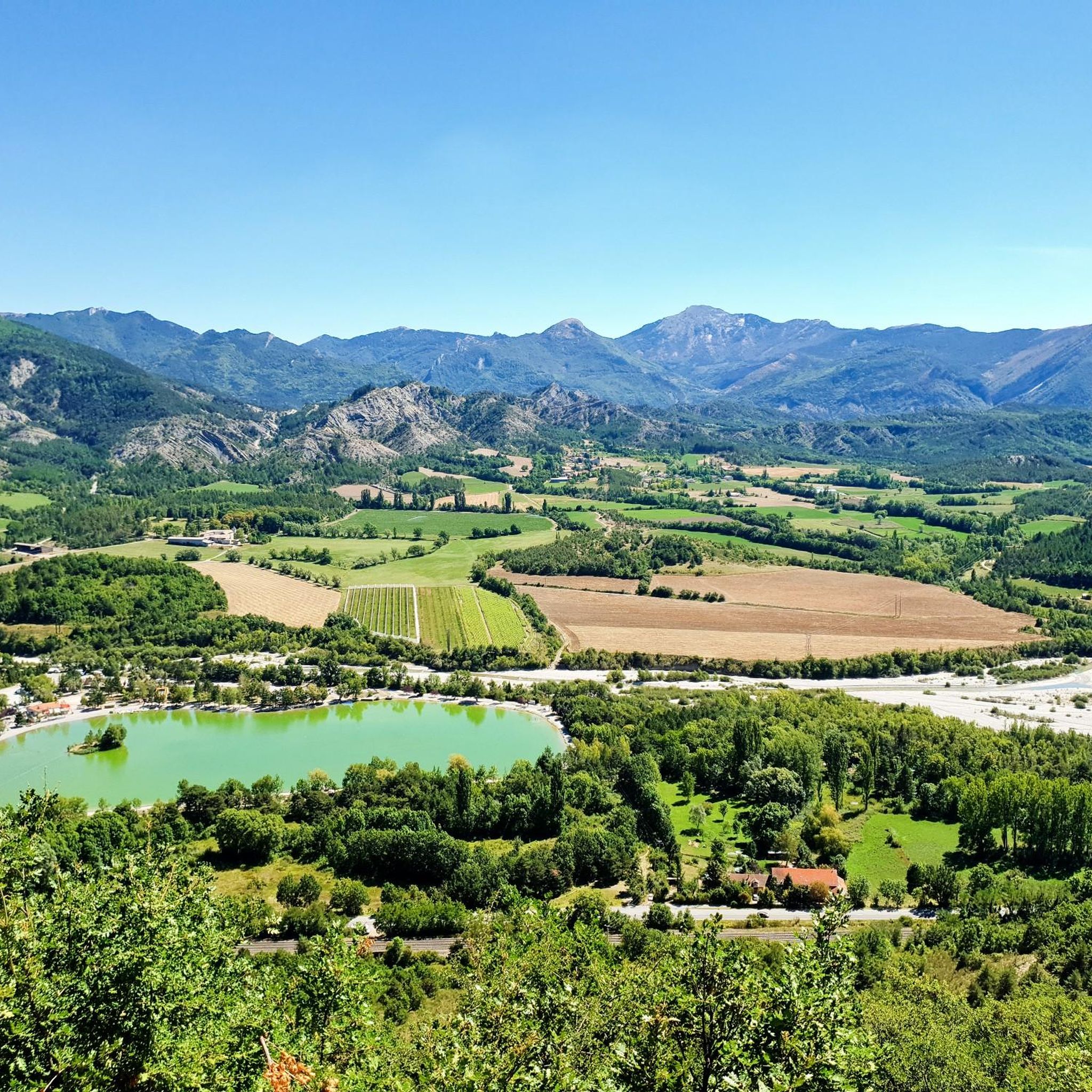
Best mountain peaks around Saint-Pierre-D'Argençon are situated in the Hautes-Alpes region of France, offering access to various mountain peaks and ridges. This area provides diverse natural landscapes for exploration. The terrain features prominent peaks that offer expansive views of the surrounding countryside and distant mountain ranges. It is a destination for those seeking to experience the region's varied topography.
Best mountain peaks around Saint-Pierre-D'Argençon
- The most popular mountain peaks is Summit of Montagne d'Oule, a summit that offers an…
Last updated: October 24, 2026
Summit of Montagne d'Oule
Highlight • Summit
Showing Translation
Tip by

Le Duffre (Montagne de l'Aup)
Highlight • Summit
Translated by Google •
Tip by

Sign up now to discover places like this
Get recommendations on the best single tracks, peaks, & plenty of other exciting outdoor places.
Chemin Haut de Saumane
Highlight (Segment) • Summit
Translated by Google •
Tip by

Col d'Aron shelter
Highlight • Mountain Hut
Translated by Google •
Tip by
View of the Seille Valley from Saint-Apôtre
Highlight • Viewpoint
Translated by Google •
Tip by

Start today with a free account
Your next adventure awaits.





Tips from the Community

The path is a bit adventurous, you should be sure-footed. Partially steep, partially slippery and rocky. But the view from the summit makes up for all of it 🤩
0
0

The Col d'Aron culminates at an altitude of 1,450 meters. It is easily accessible by the forest track. A cabin provides shelter. Picnic tables are also nearby.
0
0
This very beautiful path joins the Col de Saumane at an altitude of 1,030 meters. The Notre-Dame de Saumane chapel, also called Notre-Dame-des-Anges, is located along the road.
0
1

Also called Montagne de l'Aup, Le Duffre is located at an altitude of 1,757 meters and offers a beautiful panoramic view of the mountains and valleys!
1
0

The passage between the television relay and the Col de Seille is really very steep and even dangerous. Reconnaissance on foot
1
0
Frequently Asked Questions
What are some of the most rewarding mountain peaks to hike near Saint-Pierre-D'Argençon?
For stunning panoramic views, consider hiking to the Summit of Montagne d'Oule, which offers expansive vistas despite its adventurous and sometimes steep path. Another excellent choice is Le Duffre (Montagne de l'Aup), standing at 1,757 meters, providing beautiful outlooks over the surrounding mountains and valleys.
Are there any family-friendly mountain peaks or accessible viewpoints in the area?
Yes, the Col d'Aron shelter is a great option for families. It culminates at 1,450 meters and is easily accessible by a forest track. There's a cabin and picnic tables nearby, making it a comfortable spot to enjoy the mountain environment.
What kind of views can I expect from the mountain peaks around Saint-Pierre-D'Argençon?
The peaks in this region, such as Pic de Saint-Cyr and the Summit of La Platte, offer diverse and expansive views. From Pic de Saint-Cyr, you can see nearby villages, Mont Ventoux, and Montagne de Chabre. The Summit of La Platte provides a 360-degree panorama including Montagne de Lure, the Buëch valley, and the rugged Baronnies Provençales. Le Duffre (Montagne de l'Aup) also boasts beautiful panoramic views of mountains and valleys.
What are the typical hiking conditions and difficulty levels for these peaks?
Many hikes to these peaks are considered moderate. For example, the hike to Pic de Saint-Cyr is a moderate 6.24-mile route with a significant elevation gain. The Summit of Montagne d'Oule is described as adventurous, requiring sure-footedness due to steep, slippery, and rocky sections. Always check current conditions and be prepared for varied terrain.
Are there any historical or cultural landmarks near the mountain trails?
Yes, along the Chemin Haut de Saumane, which leads to Col de Saumane, you will find the Notre-Dame de Saumane chapel, also known as Notre-Dame-des-Anges. This adds a cultural element to your mountain exploration.
What outdoor activities can I do near these mountain peaks besides hiking?
The region around Saint-Pierre-D'Argençon is excellent for various cycling activities. You can explore numerous routes for gravel biking, enjoy traffic-free bike rides, or challenge yourself with road cycling routes, many of which are considered difficult and offer scenic views.
What is the best time of year to visit the mountain peaks around Saint-Pierre-D'Argençon?
The best time to visit is generally during the warmer months, from late spring to early autumn, when the weather is most favorable for hiking and outdoor activities. This period offers clear skies and pleasant temperatures, ideal for enjoying the panoramic views and diverse landscapes.
Are there any particularly challenging routes for experienced hikers?
For experienced hikers seeking a challenge, the passage between the television relay and the Col de Seille, leading to the View of the Seille Valley from Saint-Apôtre, is described as very steep and potentially dangerous, requiring prior reconnaissance on foot. More challenging options for Pic de Saint-Cyr include a 13.07-mile route incorporating the Gorge de la Méouge and Crête Saint-Cyr.
What should I know about accessibility and parking for these mountain trails?
While specific parking details vary by trailhead, many routes, like those to Pic de Saint-Cyr, often start from villages such as Antonaves or Saint-Pierre-Avez. The Col d'Aron shelter is noted for being easily accessible by a forest track, suggesting good access for vehicles to a certain point. Always check specific route details for parking information.
What do visitors enjoy most about the mountain peaks in this region?
Visitors consistently highlight the rewarding panoramic views after a moderate ascent. The comprehensive perspective of the region's varied topography, from dense woodlands to distant mountain ranges, is a major draw. The sense of accomplishment and the natural beauty of the Hautes-Alpes are frequently praised.
Are there any specific peaks that offer 360-degree views?
Yes, the Summit of La Platte, located directly facing Pic de Saint-Cyr, is renowned for its unique vantage point providing a full 360-degree panorama. This includes sweeping views of Montagne de Lure, the Buëch valley, and the rugged peaks and valleys of the Baronnies Provençales.
Most popular routes around Saint-Pierre-D'Argençon
Most popular attractions around Saint-Pierre-D'Argençon

Get inspired with the komoot mobile app


Explore more
See even more amazing summits around Saint-Pierre-D'Argençon with these guides:
