Top 4 Lakes around Santa María De Guía De Gran Canaria
Best lakes around Santa María De Guía De Gran Canaria offers a diverse landscape featuring both coastal natural water features and inland reservoirs. The region is characterized by its volcanic terrain, which shapes unique bathing spots and elevated dam sites. These locations provide opportunities to experience the natural environment, from serene pools carved into the coastline to historical reservoirs nestled in high-altitude pine forests.
Best lakes around Santa María De Guía De Gran Canaria
- The most popular lakes is Los…
Last updated: July 4, 2026
Los Hornos Dam
Highlight • Lake
Translated by Google •
Tip by

Upper waterfall
Highlight • Climb
Translated by Google •
Tip by

Sign up now to discover places like this
Get recommendations on the best single tracks, peaks, & plenty of other exciting outdoor places.
Sign up for free
El Charco de la Paloma
Highlight • Waterfall
Translated by Google •
Tip by

Los Pérez Dam
Highlight • Lake
Translated by Google •
Tip by

Presa de Los Pérez Trail Junction
Highlight • Trail
Translated by Google •
Tip by

Sign up for free to discover even more lakes around Santa María De Guía De Gran Canaria.
Sign up for free
Already have an account?
Start today with a free account
Your next adventure awaits.
Login or Signup
Popular around Santa María De Guía De Gran Canaria
Hiking around Santa María De Guía De Gran Canaria
Road Cycling Routes around Santa María De Guía De Gran Canaria
Running Trails around Santa María De Guía De Gran Canaria
Cycling around Santa María De Guía De Gran Canaria
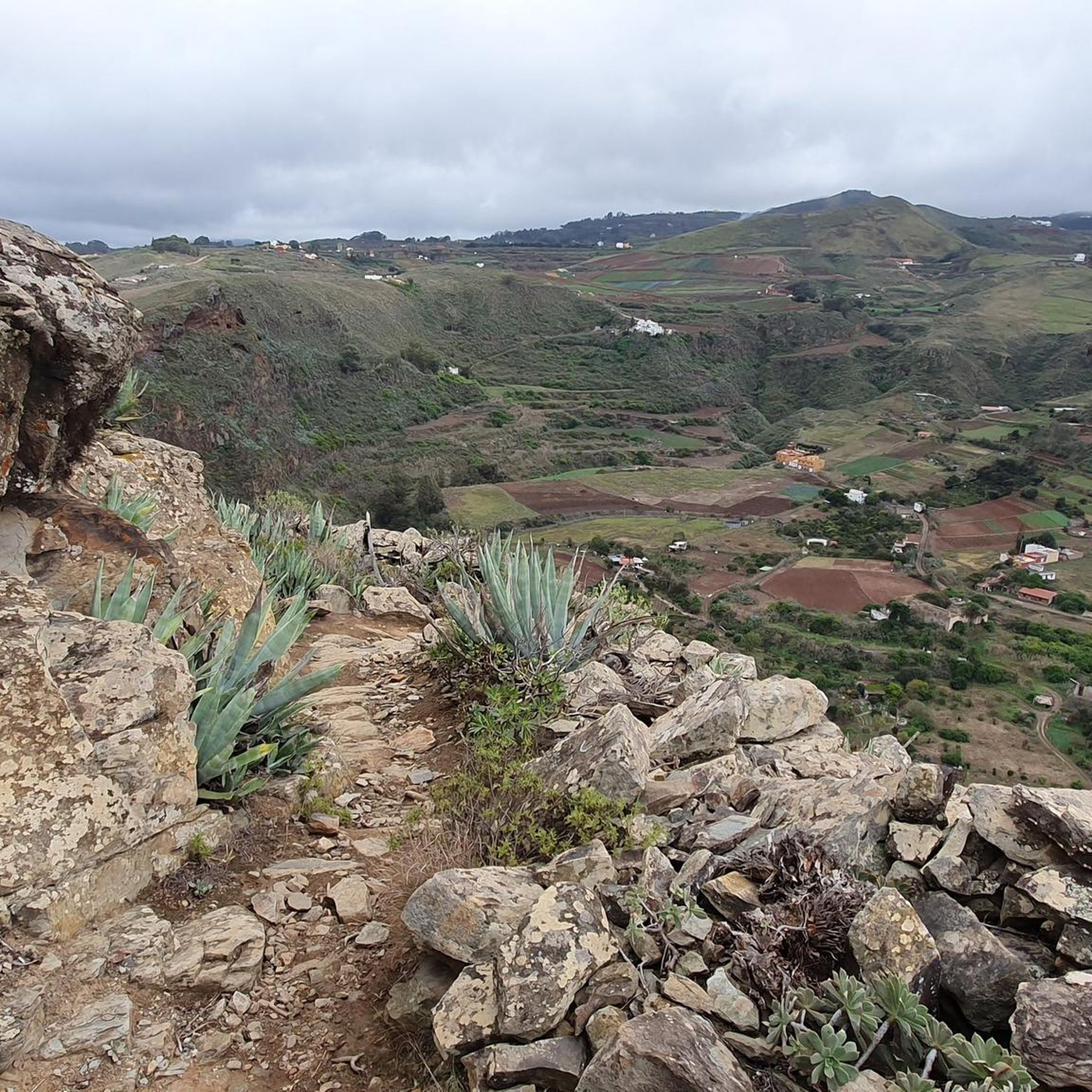
MTB Trails around Santa María De Guía De Gran Canaria

Mountain Hikes around Santa María De Guía De Gran Canaria
Tips from the Community

After the recent rainfall, there is currently plenty of water for the small waterfall.
0
0

Unfortunately not very spectacular and not accessible due to the higher water
0
0

Wonderful view of the reservoir, which shines emerald green in the sun.
1
0

From here you can get directly to the Tamadaba Natural Park on the GR 138 🟥⬜️
3
0

Los Hornos Dam Viewpoint The Los Hornos Dam or Cumbre Dam has a height of 1,565 meters above sea level. It dates from 1933, but was later enlarged. Made of ordinary masonry, it reached a height of 27 m and had a capacity of 697,000 m3 of water, which flows between ditches and tunnels towards the municipalities of Arucas and San Mateo.
3
1
The waterfall and the filled reservoir in front of it are probably best admired during the "rainy season" in autumn and winter. Since it doesn't rain often on the island, no water flows here from spring to autumn.
3
1
Los Hornos Dam Viewpoint The Los Hornos Dam or Cumbre Dam has a height of 1,565 meters above sea level. It dates from 1933, but was later enlarged. Made of ordinary masonry, it reached a height of 27 m and had a capacity of 697,000 m3 of water, which flows between ditches and tunnels towards the municipalities of Arucas and San Mateo.
6
0

Frequently Asked Questions
What types of water features can I find around Santa María De Guía De Gran Canaria?
While traditional natural lakes are not common, the region features unique natural pools and man-made dams. You can explore coastal natural pools like Roque Prieto, or visit scenic dams such as Los Hornos Dam and Los Pérez Dam, which are nestled in the landscape and offer picturesque views.
Are there any natural pools suitable for swimming in the area?
Yes, the Roque Prieto Natural Pools are a popular choice. Located near La Atalaya, these pools are carved into a cove and protected from waves, creating a calm environment ideal for swimming in clear waters. However, be aware that there are no services like restaurants or toilets available.
What is the best time to visit the water features around Santa María De Guía De Gran Canaria?
For waterfalls like El Charco de la Paloma, the autumn and winter months are ideal as water levels are higher due to rainfall. For natural pools, the warmer months are generally preferred for swimming, though they can be enjoyed year-round.
Are there family-friendly water spots in Santa María De Guía De Gran Canaria?
Yes, the Roque Prieto Natural Pools are considered family-friendly due to their calm, protected waters. Additionally, El Charco de la Paloma is noted as a family-friendly excursion spot, especially when the waterfall is active.
What kind of views can I expect at the dams?
Dams like Los Pérez Dam offer magnificent views of the reservoir, often appearing emerald green in the sun. Los Hornos Dam, situated at 1565 meters above sea level, provides expansive views of the surrounding reforested pine groves and volcanic rock formations.
Are there hiking opportunities near the dams?
Yes, the dams are often part of scenic hiking routes. For example, a 7.5 km medium-difficulty trek includes El Capitán Dam and Las Garzas Dam, starting from Hacienda de la Hoya de Pineda. You can also find various mountain hikes in the broader region, such as those listed in the Mountain Hikes around Santa María De Guía De Gran Canaria guide.
What outdoor activities can I do near these water features?
Beyond hiking around the dams, the region offers a variety of outdoor activities. You can explore mountain biking trails, as detailed in the MTB Trails around Santa María De Guía De Gran Canaria guide, or enjoy road cycling routes, which you can find in the Road Cycling Routes around Santa María De Guía De Gran Canaria guide.
What is unique about Los Hornos Dam?
Los Hornos Dam is notable for its high altitude location at 1565 meters above sea level and its historical significance, having been built in 1933. It serves as a crucial water reservoir for the region and is surrounded by reforested pine groves, offering a distinct natural setting.
Can I find waterfalls in the area?
Yes, El Charco de la Paloma is a popular spot featuring a beautiful waterfall that forms a small lake. Another challenging option is the Upper waterfall, which involves climbing rock walls and offers opportunities for swimming.
What do visitors enjoy most about the water features in Santa María De Guía De Gran Canaria?
Visitors frequently appreciate the stunning views from the dams, especially the emerald green waters of Los Pérez Dam. The tranquility and natural beauty of spots like El Charco de la Paloma and the unique experience of swimming in the Roque Prieto Natural Pools are also highly valued.
Are there any specific viewpoints near the dams?
Yes, both Los Hornos Dam and Los Pérez Dam are recognized as viewpoints, offering excellent opportunities for photography and enjoying the landscape. The Presa de Los Pérez Trail Junction also provides wonderful views of the reservoir.
Most popular routes around Santa María De Guía De Gran Canaria
Most popular attractions around Santa María De Guía De Gran Canaria

Get inspired with the komoot mobile app


Explore more
Still not found your perfect lake around Santa María De Guía De Gran Canaria? Check out the guides of these regions to see even more beautiful places.
