Top 20 Gorges around Santa María De Guía De Gran Canaria
Best canyons around Santa María De Guía De Gran Canaria are characterized by diverse ecosystems, volcanic formations, and endemic flora. The region features deep ravines, locally known as "barrancos," which offer unique natural beauty and geological interest. These formations are often integrated into protected landscapes, showcasing a variety of geological features and plant life. The area also holds historical and aboriginal significance, with several barrancos linked to the island's past.
Best canyons around Santa María De Guía De Gran Canaria
…Last updated: August 28, 2026
Azuaje Gorge
Highlight • Gorge
Translated by Google •
Tip by

Gran Canaria: Barranco de la Virgen (Virgin Gorge)
Highlight • Gorge
Translated by Google •
Tip by

Sign up now to discover places like this
Get recommendations on the best single tracks, peaks, & plenty of other exciting outdoor places.
Sign up for free
Viaduct Over Barranco de Azuaje
Highlight • Bridge
For obligatory breaks to dry your feet, eat something next to the waterfalls, with the sound of the water in the background and the birds chirping.
Translated by Google •
Tip by
Barranco de San Pedro Exit
Highlight • Trail
Translated by Google •
Tip by

Rope-Assisted Climb in Barranco
Highlight • Climb
Translated by Google •
Tip by

Sign up for free to discover even more gorges around Santa María De Guía De Gran Canaria.
Sign up for free
Already have an account?
Start today with a free account
Your next adventure awaits.
Login or Signup
Popular around Santa María De Guía De Gran Canaria
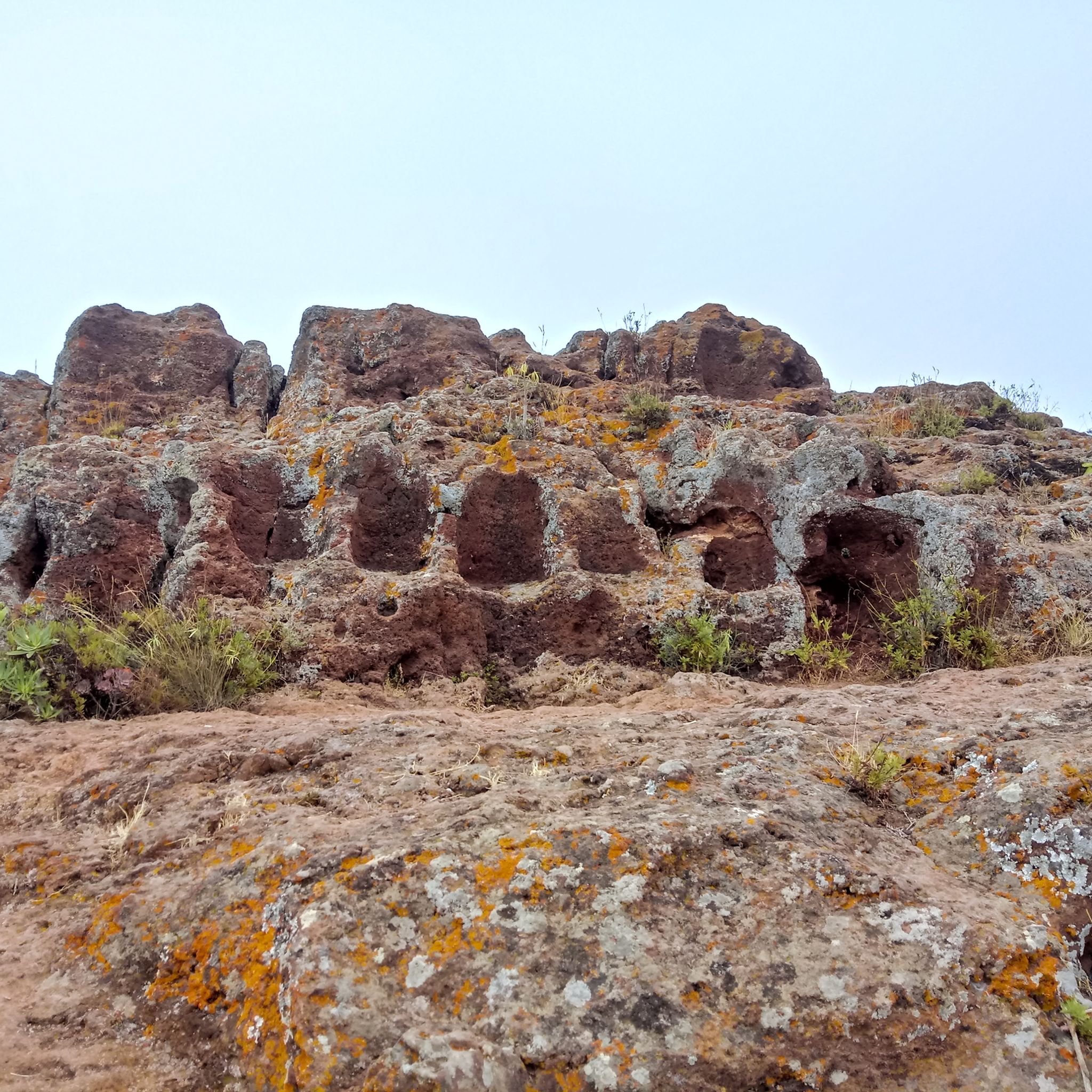
Hiking around Santa María De Guía De Gran Canaria
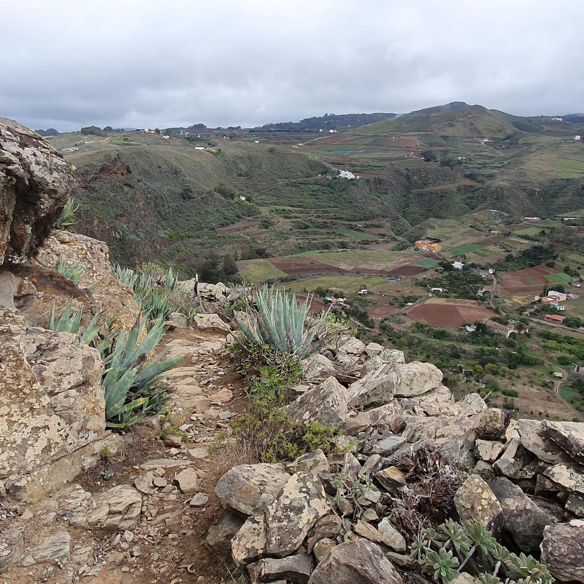
Road Cycling Routes around Santa María De Guía De Gran Canaria
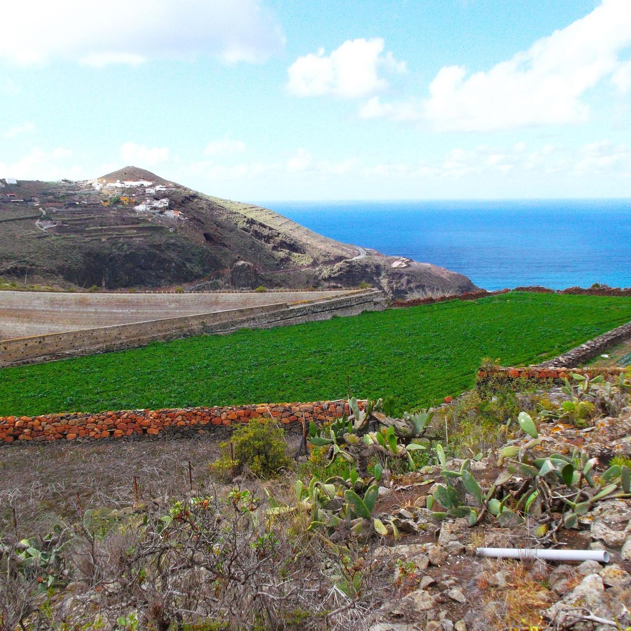
Cycling around Santa María De Guía De Gran Canaria
MTB Trails around Santa María De Guía De Gran Canaria
Running Trails around Santa María De Guía De Gran Canaria

Mountain Hikes around Santa María De Guía De Gran Canaria

Gravel biking around Santa María De Guía De Gran Canaria
Tips from the Community

We had to cut our hike short after about two-thirds of the way and were able to reach the other side of the gorge via a narrow path. It had rained heavily in the days leading up to it. The stream was very high, and in some places, the elevated path had disappeared due to a landslide. Nevertheless, it was absolutely worth seeing what was down there. ...
1
0

The bridge is wide enough, but the road is very narrow in some places. And large buses use it.
3
0

If you continue to the right and cross the bridge, you will pass the coffee plantation. Then the footpath follows various stairs through the winding streets of San Pedro.
1
0

Beautiful jungle path, here you walk alone
0
0

At this point several hikers have obviously already missed the climb - approx. 50 m. Further on, if you missed the exit, the hiking trail through the Barranco ends at San Pedro and you can't go any further ("jungle feeling". End of the path, there are rock faces all around - definitely worth seeing ;-)). So go back and look for the exit ;- - at least that's what happened to us. So it's best to follow the official route directly: Coming from the direction of Agaete, go up to the left at the wooden post with a green marking (follow the trail) = BEFORE the small pond, and quite far before the foot bridge over the Barranco. After approx. 15 mtr. there is another post on the slope. Continue there along the old Levada wall. After about 30 meters you can decide whether to turn left onto the street or follow the path to the right over the "bridge". There we go up to San Pedro, where Finca la Laja is also located (can of course also be reached by road ;-)). By the way: If you don't turn left directly at the post, follow the now well-trodden path to the end of the dead end - definitely worth seeing (approx. 50 meters) - "jungle feeling" ;-).
4
0
A beautiful, fertile and green valley with laurel trees, eucalyptus trees etc. You can explore the valley on various hiking trails. The signs are quite good (and quite new) - we really liked the many signs and information boards along the way, where hikers can find out more about the valley, highlights and flora/fauna in different languages. Top !
0
0
On the way through the Barranco there are two places where sturdy ropes are attached as climbing aids, which are very helpful. You can easily pass the places in both directions, provided you are sure-footed, of course. Adventurous, but easy to master. In the Barranco you can sometimes get wet shoes/feet, depending on the weather and the water level, but it is usually not really deep. Stones and tree trunks are good help in most places and are welcome.
1
0
Very beautiful, idyllic Barranco. Here you follow the course of the stream through the Barranco on adventurous paths, crossing it again and again. Including small climbing insoles... Sturdy shoes are important!
1
0
Frequently Asked Questions
What are the most popular canyons to explore in Santa María De Guía De Gran Canaria?
Visitors frequently enjoy the Barranco de la Virgen (Virgin Gorge), known for its consistently green landscape and remnants of the Laurisilva forest. Another popular spot is the area around the Viaduct Over Barranco de Azuaje, which offers stunning views and access to waterfalls. For those seeking a challenge, the Rope-Assisted Climb in Barranco provides an adventurous experience with climbing aids.
What unique natural features can I expect to see in the canyons of Santa María De Guía?
The canyons in Santa María de Guía de Gran Canaria boast diverse natural features. In Barranco del Río, you can observe fascinating geological formations sculpted by ancient lava flows and erosion, leading to a natural pool where fresh and saltwater converge. Barranco del Pinar is characterized by lush laurel and fayal-brezal forests, remnants of the Doramas jungle, sustained by the 'sea of clouds' phenomenon. Other barrancos like Valerón and El Hormiguero feature significant palmerales (palm groves) with both Canary Island and African palms.
Are there family-friendly hiking options in the canyons around Santa María De Guía?
Yes, there are options suitable for families. While some trails can be steep or slippery, the Barranco de la Virgen (Virgin Gorge) offers paths that are generally considered quite easy to walk, making it a good choice for families, though sturdy shoes are always recommended. Additionally, Local Path 1, which traverses Barranco de Cuevas Meñas, Barranco de Los Hayeros, Barranco de El Paso, and Barranco de El Calabozo, is an easier 7.4 km route through agricultural areas with scenic views.
What is the best time of year to visit the canyons in Santa María De Guía De Gran Canaria?
The canyons offer a refreshing experience year-round. The northern part of the island, where these canyons are located, often provides a cooler environment, especially when the south is warmer. Early mornings, around 8:00 to 9:30, are often recommended for exploring areas like the Viaduct Over Barranco de Azuaje, allowing for breaks by waterfalls and enjoying the sounds of nature.
What kind of historical and cultural significance do these canyons hold?
Many barrancos in the region are rich in history. Barranco del Pinar historically served as a jurisdictional boundary and its name reflects its past pine tree cover. Barranco de Anzofé holds significant aboriginal importance, with its toponym indicating ancient origins and associations with historical hamlets and hermitages. These areas offer a connection to the island's past, including traditional land use and early settlements.
What outdoor activities can I do near the canyons of Santa María De Guía De Gran Canaria?
Beyond exploring the canyons themselves, the region offers a variety of outdoor activities. You can find numerous cycling routes, including challenging road cycling and touring bicycle options, such as the 'El Atlante – El Pagador Bridge loop' or the 'Fontanales and Los Tilos de Moya Loop'. For hikers, there are mountain hikes available, like the 'Tamadaba Peak – Tamadaba Pine Forest loop'. You can find more details on these activities in the Cycling around Santa María De Guía De Gran Canaria, Road Cycling Routes around Santa María De Guía De Gran Canaria, and Mountain Hikes around Santa María De Guía De Gran Canaria guides.
Are there any challenging trails or climbs in the canyons?
Yes, some areas present more challenging terrain. The Rope-Assisted Climb in Barranco involves navigating higher rock faces with the aid of ropes, requiring sure-footedness. The ascent from the Viaduct Over Barranco de Azuaje can also be very steep and full of boulders, making sturdy shoes essential. Additionally, some parts of Barranco del Pinar offer moderate difficulty with technical terrain and elevation changes.
What kind of wildlife can be found in the canyons?
The canyons are home to diverse ecosystems and unique flora and fauna. In Barranco del Río, you might encounter the critically endangered Atractylis arbuscula schizogynopylla, a rare variety of sea pineapple endemic to the archipelago. The lush forests of Barranco del Pinar and Barranco de Los Propios, particularly the laurisilva, support various endemic plant species like the bicácaro (Canarina canariensis), which in turn provide habitats for local wildlife.
What should I wear or bring when exploring the canyons?
Sturdy shoes are a must for most canyon trails, as paths can be steep, slippery, and rocky. Depending on the weather and water levels, your feet might get wet in some barrancos, so be prepared for that. A raincoat can be useful, especially in the northern parts where the 'sea of clouds' can bring humidity. Bringing food and water is also advisable, as some routes can be long and require energy.
Are there any hidden gems or less-known canyons worth exploring?
While less documented, the barrancos of Valerón and El Hormiguero are notable for their significant palm groves, representing the thermophilic vegetation zone. Barranco de Los Propios offers an immersive experience in a laurisilva forest, and recent trail clean-ups have made it more accessible, providing a serene beauty away from more crowded areas. These offer a chance to connect with nature in a tranquil setting.
What do visitors enjoy most about the canyons in Santa María De Guía?
Visitors consistently praise the natural beauty and tranquility of the canyons. Many appreciate the always green and lush landscapes, especially in areas like the Barranco de la Virgen, which offers a welcome change and cooler environment. The stunning views, the sound of waterfalls, and the opportunity to explore unique geological formations and endemic flora are also frequently highlighted. The adventurous aspects of trails, even with their challenges, are also a draw for many.
Most popular routes around Santa María De Guía De Gran Canaria
Most popular attractions around Santa María De Guía De Gran Canaria

Get inspired with the komoot mobile app


Explore more
Already discovered everything in this region? See additional gorges around Santa María De Guía De Gran Canaria for your next adventure:
