The 10 Most Amazing Peaks around San Nicolás De Tolentino
Best mountain peaks around San Nicolás De Tolentino are found within the central Mexican state of San Luis Potosí, characterized by its significant mountainous terrain as part of the Sierra Madre Oriental. The region includes prominent elevations such as the Sierra de Álvarez, Sierra de San Nicolás, and Sierra de Trejo. The Sierra de Álvarez is a Protected Natural Area, recognized for its diverse ecosystems, including oak forests and grasslands. This area serves as an ecological corridor and temporary habitat…
Last updated: July 4, 2026
Tamadaba Peak
Highlight • Summit
Translated by Google •
Tip by

Serpentine Trail to Altavista
Highlight (Segment) • Trail
Translated by Google •
Tip by

Sign up now to discover places like this
Get recommendations on the best single tracks, peaks, & plenty of other exciting outdoor places.
Sign up for free
Risco Faneque Summit
Highlight • Summit
Source: odyssea.eu/data/?markerID=20376
Translated by Google •
Tip by

Morro de las Lechugas
Highlight • Viewpoint
Translated by Google •
Tip by
Pico de la Casa (1308 m)
Highlight • Summit
Translated by Google •
Tip by

Sign up for free to discover even more peaks around San Nicolás De Tolentino.
Sign up for free
Already have an account?
Start today with a free account
Your next adventure awaits.
Login or Signup
Popular around San Nicolás De Tolentino

Tips from the Community

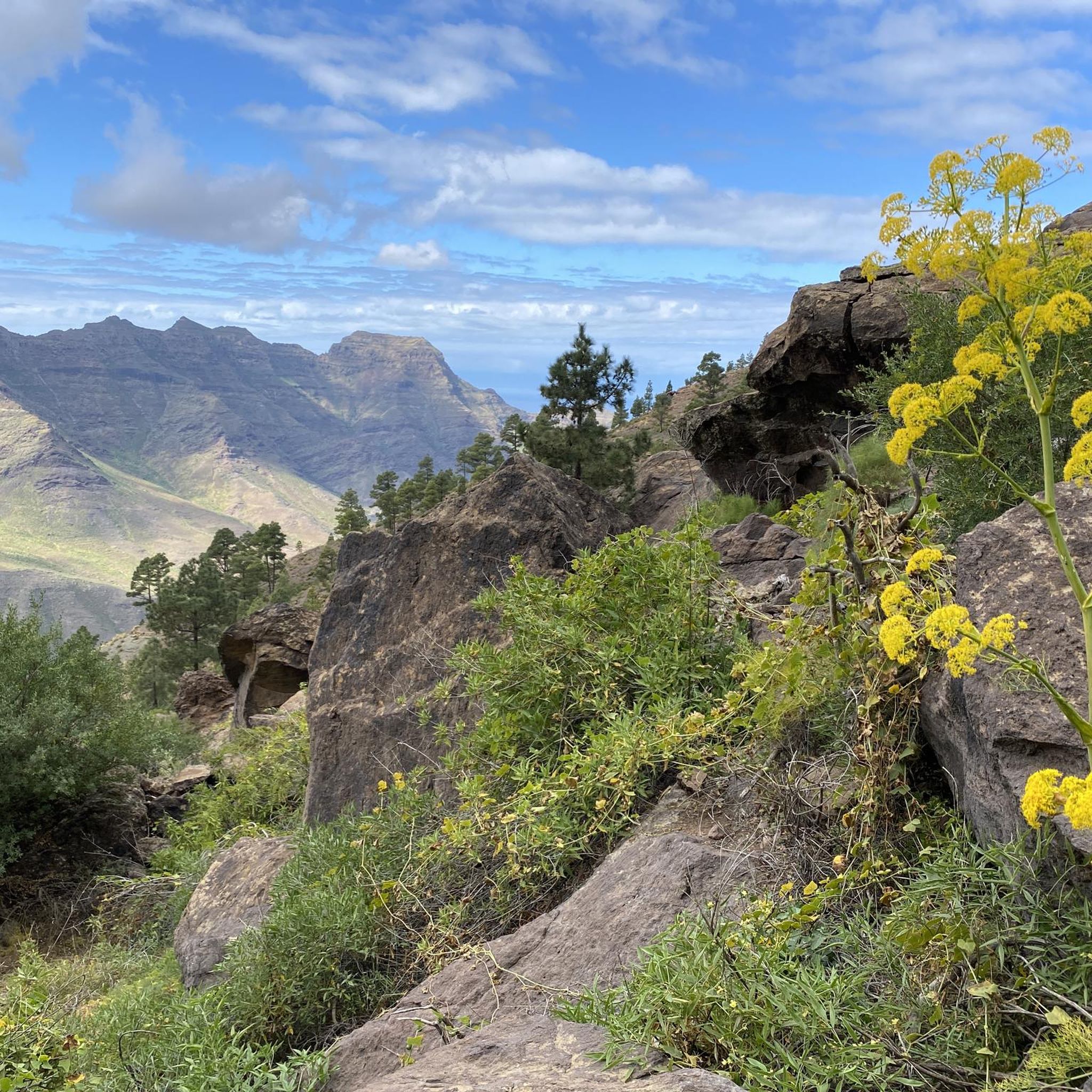
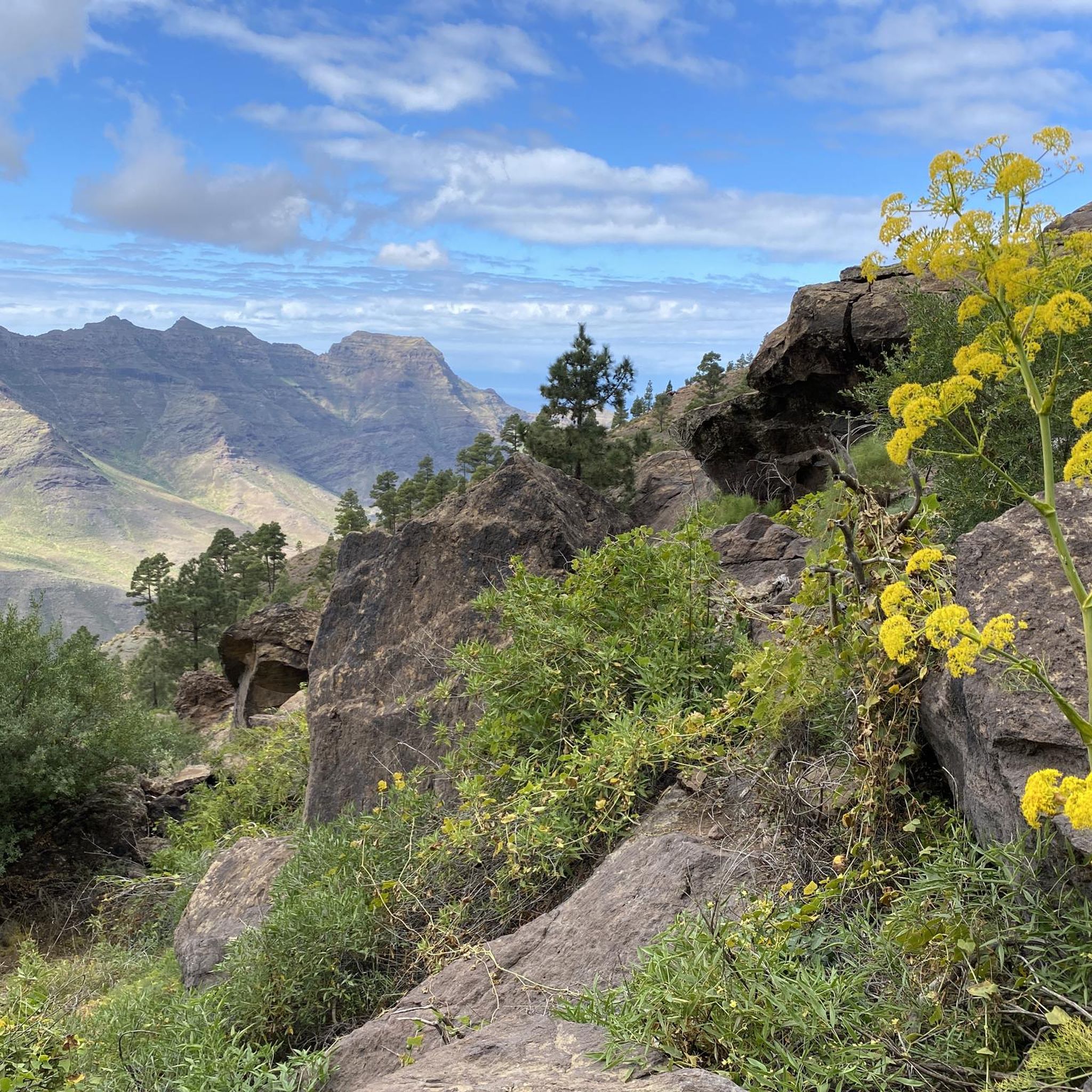
Inconspicuous peak... the path leads through beautiful pine trees and between the trees you can occasionally see the Roque Nublo
1
0

Pine-forested summit - view of El Roque Nublo
2
0
The ascent to the summit leads through romantic pine forests on well-developed paths. Highly recommended if you want to travel north on Gran Canaria.
1
0

The path to this view is quite easy and easy to follow.
1
0
The path to this view is easy to walk and the view is just amazing!
1
0

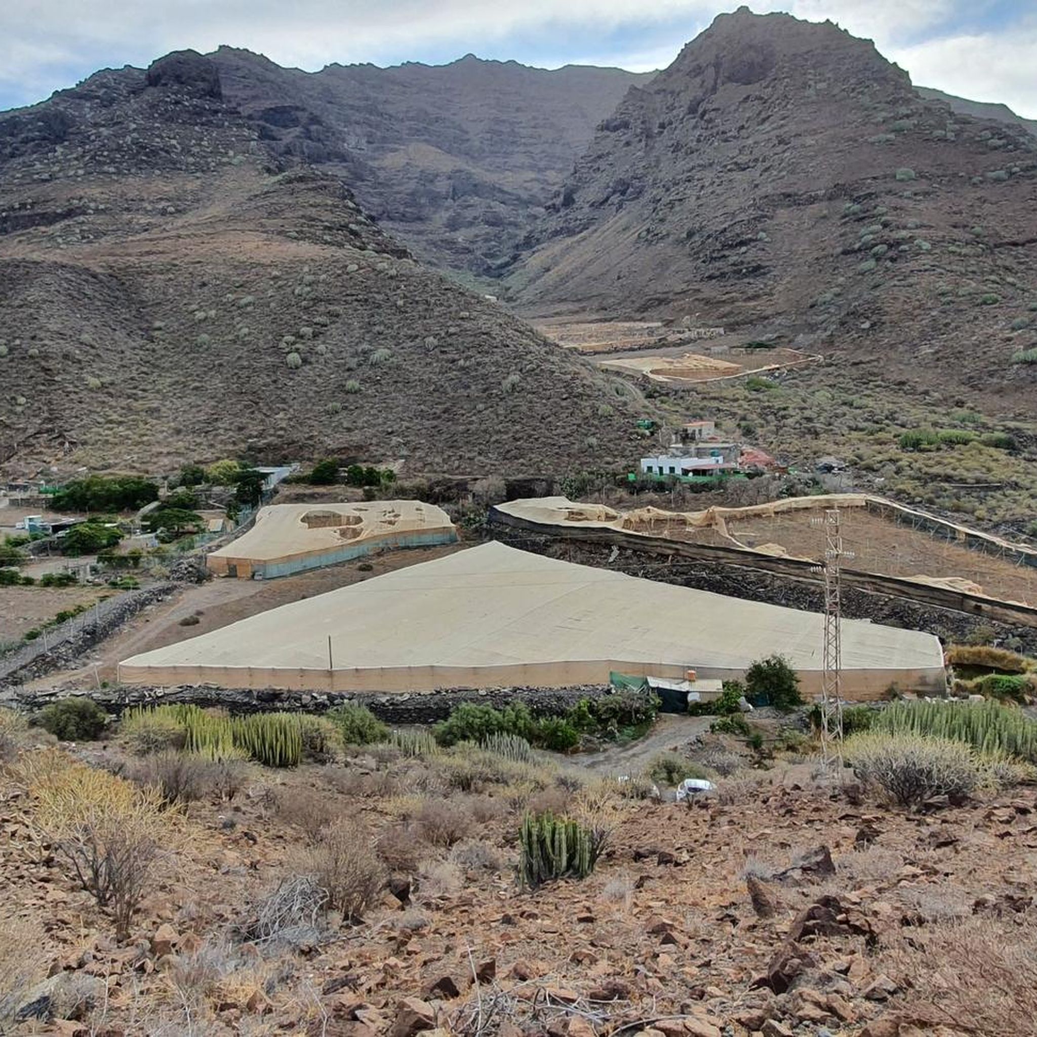
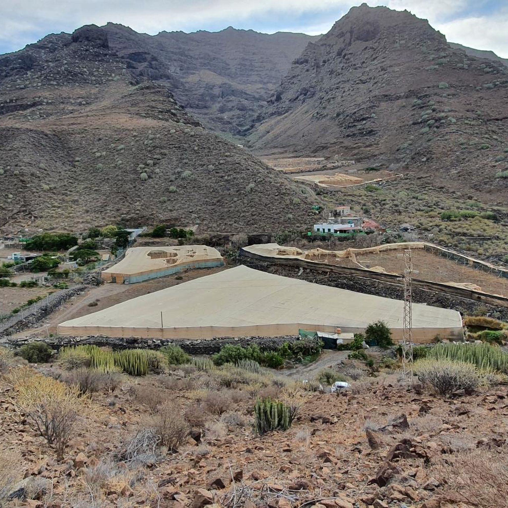
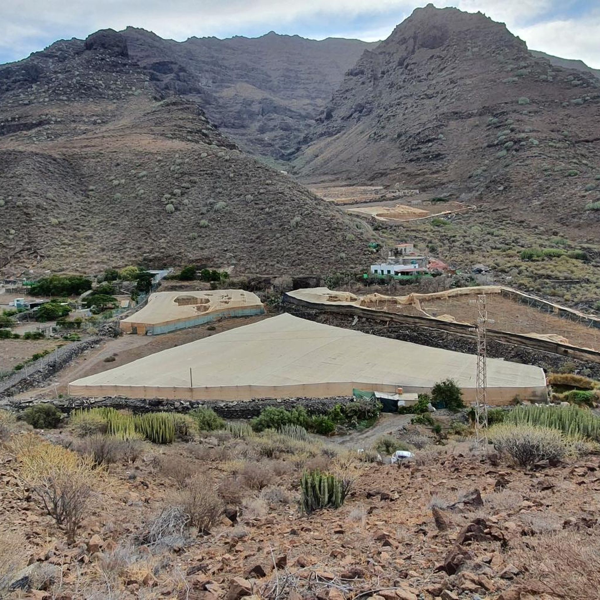
At 1,027 meters, the Faneque cliff is one of the highest cliffs in the world and the highest in Europe, located on the cliffs in the northwest of Gran Canaria in the heart of the Tamadaba Natural Park. Source: http://www.odyssea.eu/data/?markerID=20376
1
0
Cliff with an altitude of approx. 1,000 meters and a magnificent view.
1
0
The Tamadaba Nature Park is one of the least man-made areas on Gran Canaria. It stretches over an area of 7,500 hectares in the westernmost part of the island from the mountain peak down to the coast. The nature park is located within the western part of Gran Canaria, which has been declared a UNESCO biosphere reserve. The park offers visitors beautiful forests full of endemic pines, dizzying cliffs on its almost inaccessible coasts and an extraordinary biodiversity in its gorges. Source: https://www.hallokanarischeinseln.com/naturraeume/gran-canaria/naturpark-tamadaba/
1
1
Frequently Asked Questions
What are some popular mountain peaks and viewpoints around San Nicolás De Tolentino?
Among the most appreciated spots are Tamadaba Peak, a rocky outcrop at 1443 meters offering wonderful views in all directions, and Morro de las Lechugas, a cliff with impressive views of Gran Canaria's western coast and the island of Tenerife. Another notable peak is Pico de la Casa (1308 m), known for its pine-forested summit and occasional views of El Roque Nublo.
Are there family-friendly mountain experiences in the San Nicolás De Tolentino area?
Yes, Morro de las Lechugas is categorized as family-friendly, offering an easy path to a magnificent viewpoint. The area also features diverse terrain, from pine forests to volcanic landscapes, which can be explored by families depending on the trail difficulty.
What natural features can I expect to see in the mountains around San Nicolás De Tolentino?
The region is characterized by dramatic volcanic landscapes, deep ravines, and diverse terrain. You can find unique geological formations like the colorful, bluish-green rocks of Los Azulejos, extensive pine forests, and breathtaking coastal views. Higher altitudes offer almost 360-degree panoramas of Gran Canaria's scenery, including the Tejeda Valley and iconic landmarks like Roque Nublo and Roque Bentayga.
What kind of hiking trails are available near San Nicolás De Tolentino?
The area offers a variety of hiking trails. For instance, the Serpentine Trail to Altavista is described as a comfortable, well-developed, and well-maintained path with great views. There are also more challenging routes, such as the strenuous hike to Playa de Güigüi through the Reserva Natural Especial de Güi-Güi, which features wild landscapes and volcanic cliffs. You can find more options in the Mountain Hikes around San Nicolás De Tolentino guide.
What other outdoor activities can I do near these mountain peaks?
Beyond hiking, the region offers opportunities for running and cycling. You can explore various routes like the Los Azulejos Circular Trail for running, or challenging cycling routes such as the Los Azulejos – Mogán Windmill loop. For more details, check out the Running Trails around San Nicolás De Tolentino and Cycling around San Nicolás De Tolentino guides.
What is the best time of year to hike in the mountains around San Nicolás De Tolentino?
Gran Canaria generally enjoys a mild climate year-round, making hiking possible in most seasons. However, for the most comfortable conditions, especially for longer or more strenuous hikes, the cooler months from autumn to spring (October to May) are often preferred. During summer, higher altitudes can offer a welcome escape from coastal heat, but always check local weather conditions before heading out.
Are there any circular walks or loop trails in the San Nicolás De Tolentino mountains?
Yes, there are several circular routes available. For instance, the Mountain Hikes guide mentions a moderate loop from Degollada de las Lajas that takes you through Tamadaba Peak and the Tamadaba Pine Forest. Another option is a difficult running route, the Parque Natural de Tamadaba – circular to Morro de las Lechugas and Pico de la Bandera, found in the Running Trails guide.
What do visitors enjoy most about the mountain peaks in this region?
Visitors frequently praise the wonderful views in all directions, especially from spots like Tamadaba Peak and Morro de las Lechugas. The peaceful nature, well-maintained trails, and the unique geological formations also receive high acclaim. Many appreciate the opportunity to experience a different side of Gran Canaria away from the more touristy areas.
Is public transport available to reach hiking trails in the area?
While specific public transport routes directly to all trailheads can be limited, local bus services (guaguas) connect San Nicolás de Tolentino with other towns on Gran Canaria. It's advisable to research specific routes and schedules in advance, as some more remote trailheads might require private transport or a taxi.
Where can I find parking for mountain peaks and trails near San Nicolás De Tolentino?
Parking availability varies by trailhead. For popular spots like Los Azulejos, there is often designated parking, such as near the Fuente de Los Azulejos car park. For other trails, you might find roadside parking or small designated areas. Always ensure you park legally and do not obstruct local access or emergency routes.
Are there any unique geological formations to see?
Absolutely. The area is famous for Los Azulejos, a site known for its unique geological formations featuring colorful, bluish-green rocks. These striking colors are a result of oxidation and create an unusual and magnificent sight, making it a popular destination for hikers.
Most popular routes around San Nicolás De Tolentino
Most popular attractions around San Nicolás De Tolentino

Get inspired with the komoot mobile app


Explore more
See even more amazing summits around San Nicolás De Tolentino with these guides:
