The best mountain hikes around San Nicolás De Tolentino
4.3
(6)
43
hikers
4
hikes
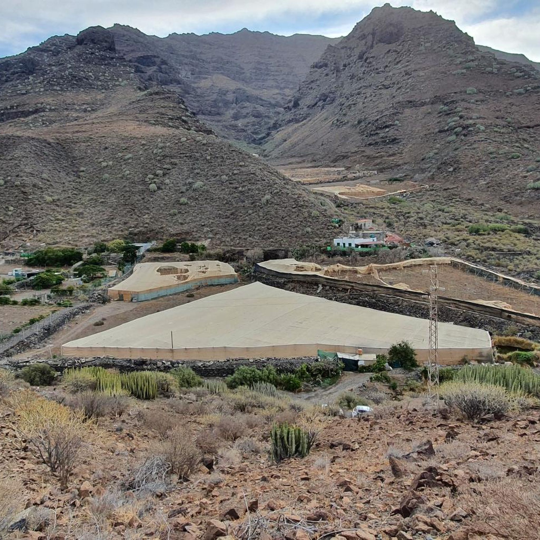
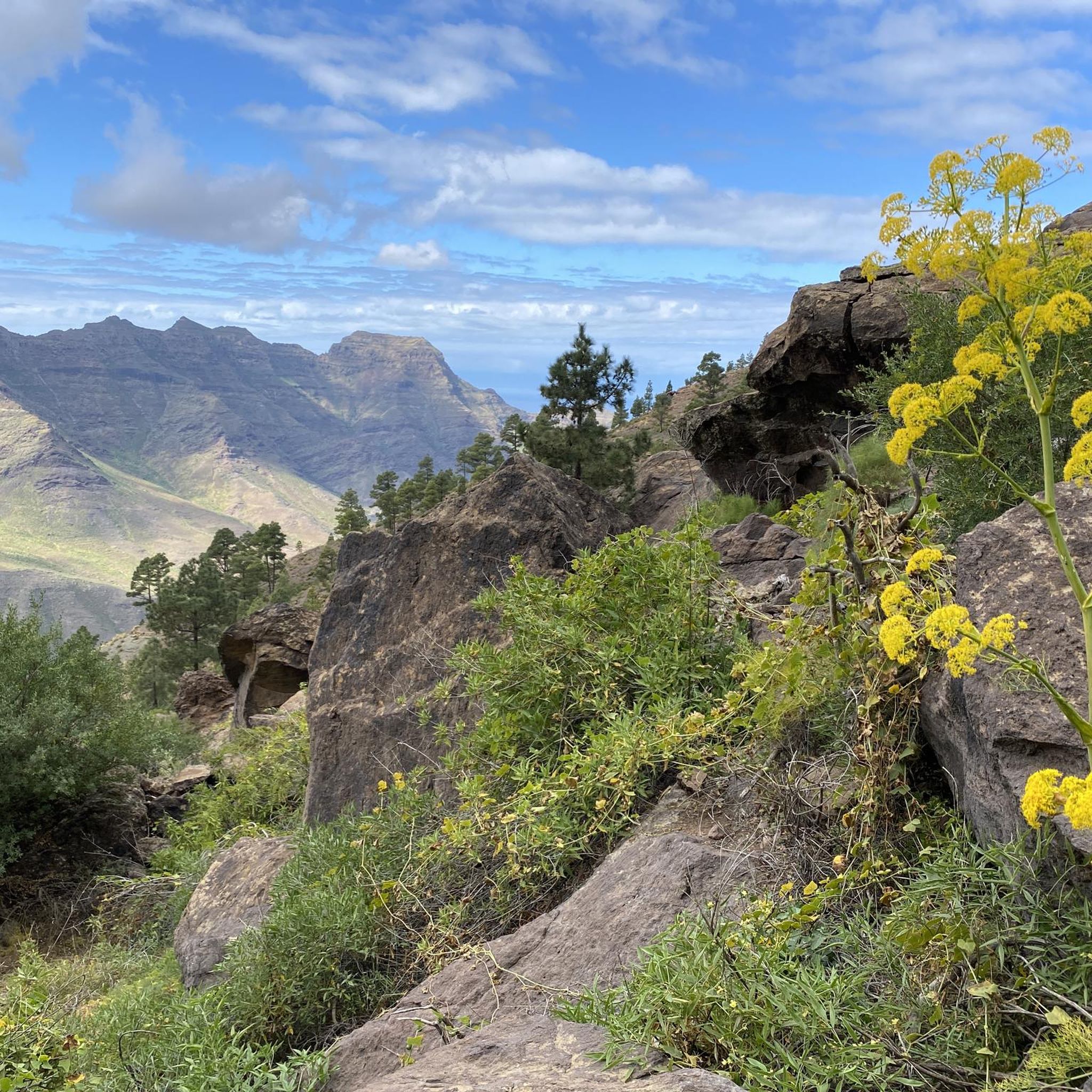
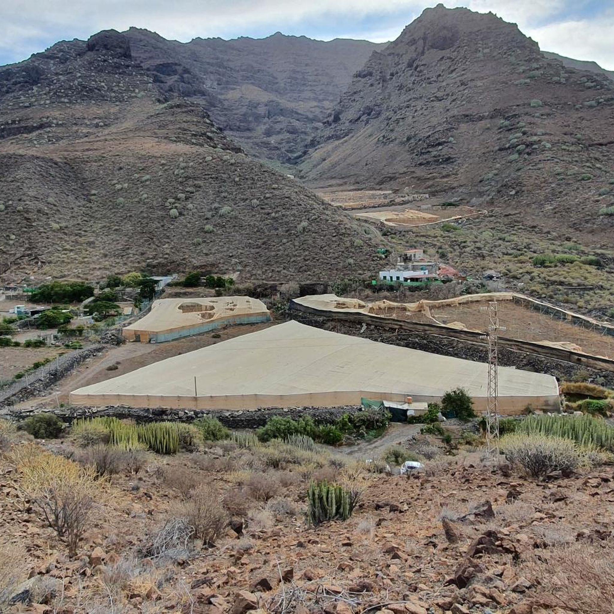
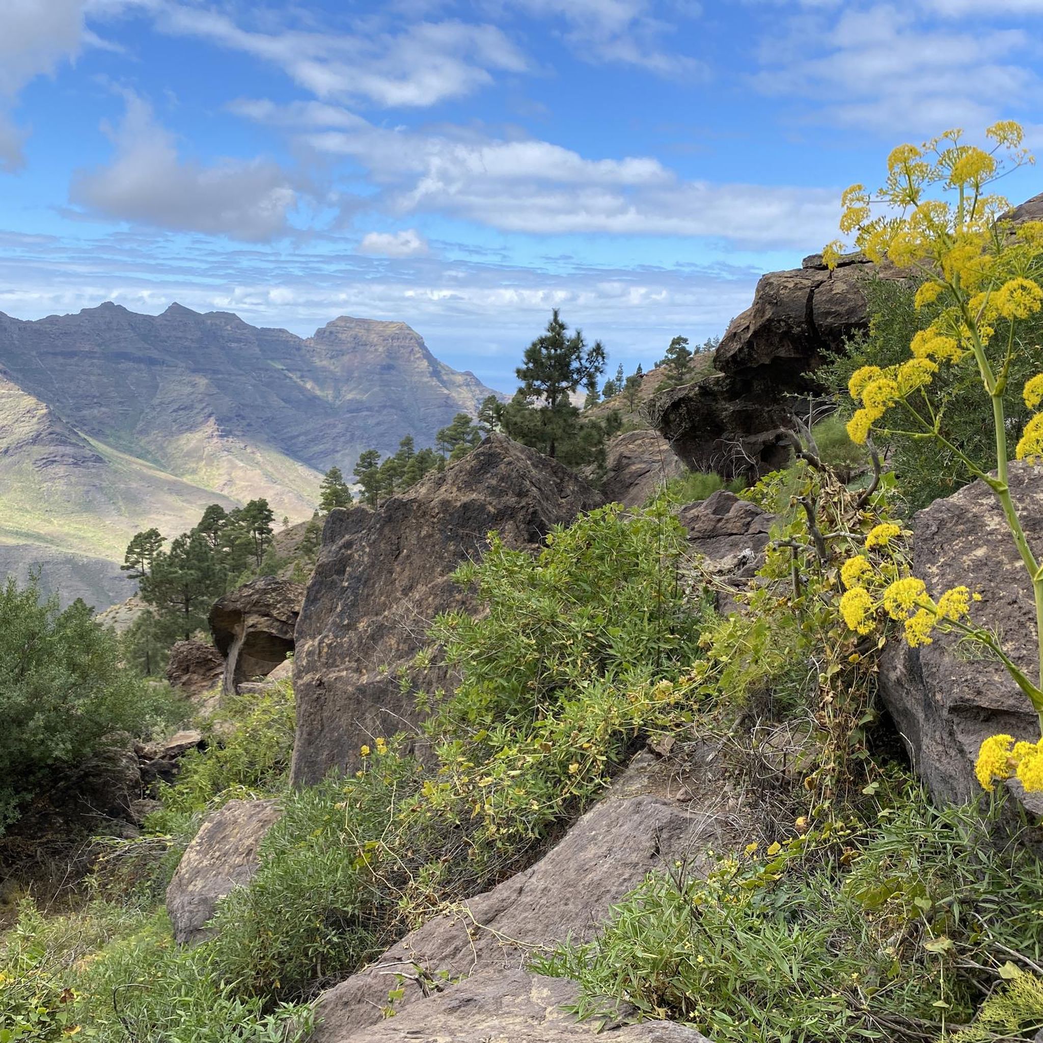
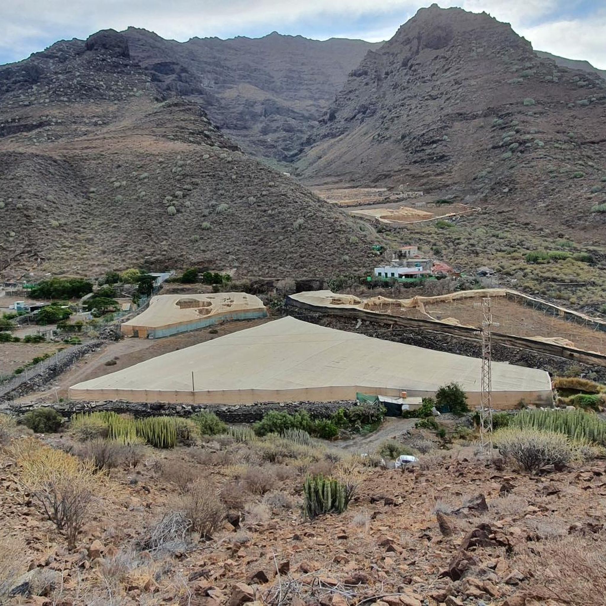
Mountaineering routes around San Nicolás De Tolentino are characterized by the rugged, volcanic landscape of Gran Canaria. The region features diverse terrain, including challenging ascents through pine forests and along dramatic coastal paths. These routes often provide expansive views of the Atlantic Ocean and the island's interior. The area's natural features make it suitable for strenuous outdoor pursuits and high-altitude trekking.
Best mountaineering routes around San Nicolás De Tolentino
- The most popular mountaineering route is Caves of Cebuche – View…
Last updated: August 20, 2026
4.3
(3)
31
hikers
8.87km
04:50
810m
810m
Moderate mountaineering route. Good fitness required. Mostly accessible paths. Sure-footedness required.
6
hikers
7.04km
02:13
260m
270m
Moderate mountaineering route. Good fitness required. Easily-accessible paths. Suitable for all skill levels.

Sign up for free
3.0
(1)
2
hikers
10.2km
03:43
600m
590m
Moderate mountaineering route. Good fitness required. Mostly accessible paths. Sure-footedness required.
5.0
(1)
3
hikers
7.78km
03:28
510m
510m
Hard mountaineering route. Good fitness required. Sure-footedness, sturdy shoes and alpine experience required.
5.0
(1)
1
hikers
Easy mountaineering route. Great for any fitness level. Easily-accessible paths. Suitable for all skill levels.
Our route recommendations are based on thousands of hikes, rides, and runs completed by other people on komoot.
Start today with a free account
Your next adventure awaits.
Login or Signup
Tips from the Community

The Tamadaba pine forest is one of the best-preserved Canary pine forests. It is protected by the Tamadaba Natural Park, one of the best-preserved natural areas of Gran Canaria. It is also part of an area designated as a UNESCO Biosphere Reserve.
0
0

Nice big rest area with barbecue areas and toilets... there are parking spaces nearby... from here you can make beautiful hikes
1
0

BBQ, toilets, drinking water, picknick tables, ...
1
0

Large rest area with barbecue areas - and even toilets ;-).
2
0
One of the many caves on the Tamadaba. If you don't know that they are here, you'll just think they're rocks from the path... ;-)
0
0

Great pine trees. You can smell them every moment.
0
0
Super flair in a great atmosphere in the romantic pine forest
0
0
The ascent to the summit leads through romantic pine forests on well-developed paths. Highly recommended if you want to travel north on Gran Canaria.
1
0
Frequently Asked Questions
How many mountaineering routes are available around San Nicolás De Tolentino?
There are several mountaineering routes around San Nicolás De Tolentino, with a total of 5 tours listed in this guide. These routes offer diverse experiences across the region's unique landscape.
What kind of terrain can I expect on mountaineering routes in San Nicolás De Tolentino?
Mountaineering routes in San Nicolás De Tolentino are characterized by the rugged, volcanic landscape of Gran Canaria. You'll encounter diverse terrain, including challenging ascents through dense pine forests and scenic paths along dramatic coastal areas. These routes often provide expansive views of the Atlantic Ocean and the island's interior.
Are there routes suitable for beginners or those looking for an easier mountaineering experience?
Yes, there is at least one easy mountaineering route available. For a more accessible option, consider the Cueva del Zapatero loop from Degollada de las Lajas, which offers a pleasant experience with less demanding elevation changes.
What are some of the more challenging mountaineering routes in the area?
For those seeking a challenge, San Nicolás De Tolentino offers difficult routes with significant elevation gain. A notable example is the Caves of Cebuche – View of Barranco de Guayedra loop from Garcia Moreno, which is 5.8 miles (9.4 km) long and features panoramic views of the Barranco de Guayedra.
Are there any circular mountaineering routes in San Nicolás De Tolentino?
Yes, many of the mountaineering routes in the area are designed as loops, allowing you to start and end at the same point. For instance, the Pico de la Casa – Tamadaba loop from Lugarejos and the Tamadaba Peak – Tamadaba Pine Forest loop from Degollada de las Lajas are popular circular options.
What natural features or viewpoints can I discover on these mountaineering routes?
The routes offer stunning natural features and viewpoints. You can experience the volcanic landscape, dense pine forests, and dramatic coastal paths. Highlights include the Tamadaba Peak, offering expansive views, and the unique rock formations at Fuente de los Azulejos.
Are there any routes that pass by waterfalls or lakes?
Yes, you can find routes that lead to or pass by interesting water features. The Dry Waterfall is a notable natural monument in the area. For lakes, you might encounter Presa de Las Niñas or Los Pérez Dam, which are beautiful spots to visit.
When is the best time of year for mountaineering in San Nicolás De Tolentino?
Gran Canaria generally offers pleasant weather for outdoor activities year-round. However, for mountaineering, the cooler, drier months from autumn to spring (roughly October to May) are often preferred to avoid the peak summer heat, especially on more exposed routes.
What do other mountaineers enjoy the most about mountaineering in San Nicolás De Tolentino?
The area is highly rated by the komoot community, with an average score of 4.5 stars. Reviewers often praise the diverse terrain, from volcanic peaks and dense pine forests to coastal paths, and the expansive views of the Atlantic Ocean and the island's interior.
Are there any routes that go through the Tamadaba Natural Park?
Yes, several routes traverse the beautiful Tamadaba Natural Park. For example, the Pico de la Casa – Tamadaba loop from Lugarejos winds through this park, offering varied forest scenery and open vistas. Another option is the Mountaineering loop from Parque Natural de Tamadaba.
What kind of wildlife might I encounter on these routes?
The region's diverse ecosystems, particularly within areas like Tamadaba Natural Park, support various local wildlife. While specific sightings are never guaranteed, you might spot native bird species, lizards, and other small animals adapted to the island's unique environment.
Most popular routes around San Nicolás De Tolentino
Most popular attractions around San Nicolás De Tolentino

Get inspired with the komoot mobile app


Explore more
Browse the best Mountain Hikes & Routes in other regions.
