The best running trails around San Nicolás De Tolentino
4.7
(35)
1,355
runners
23
runs
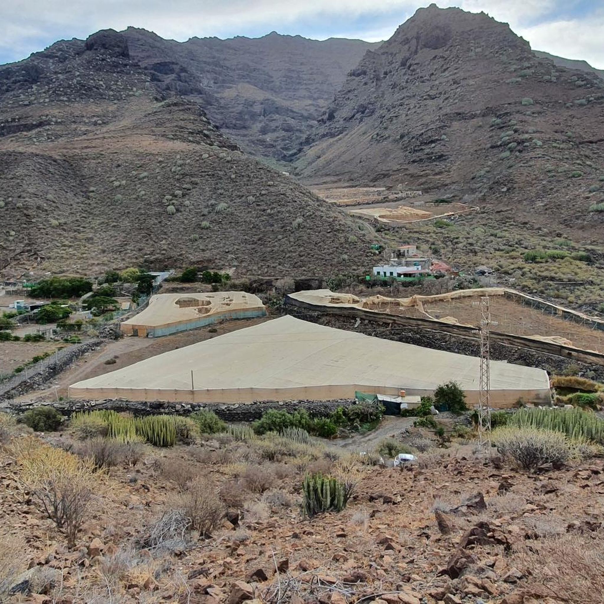
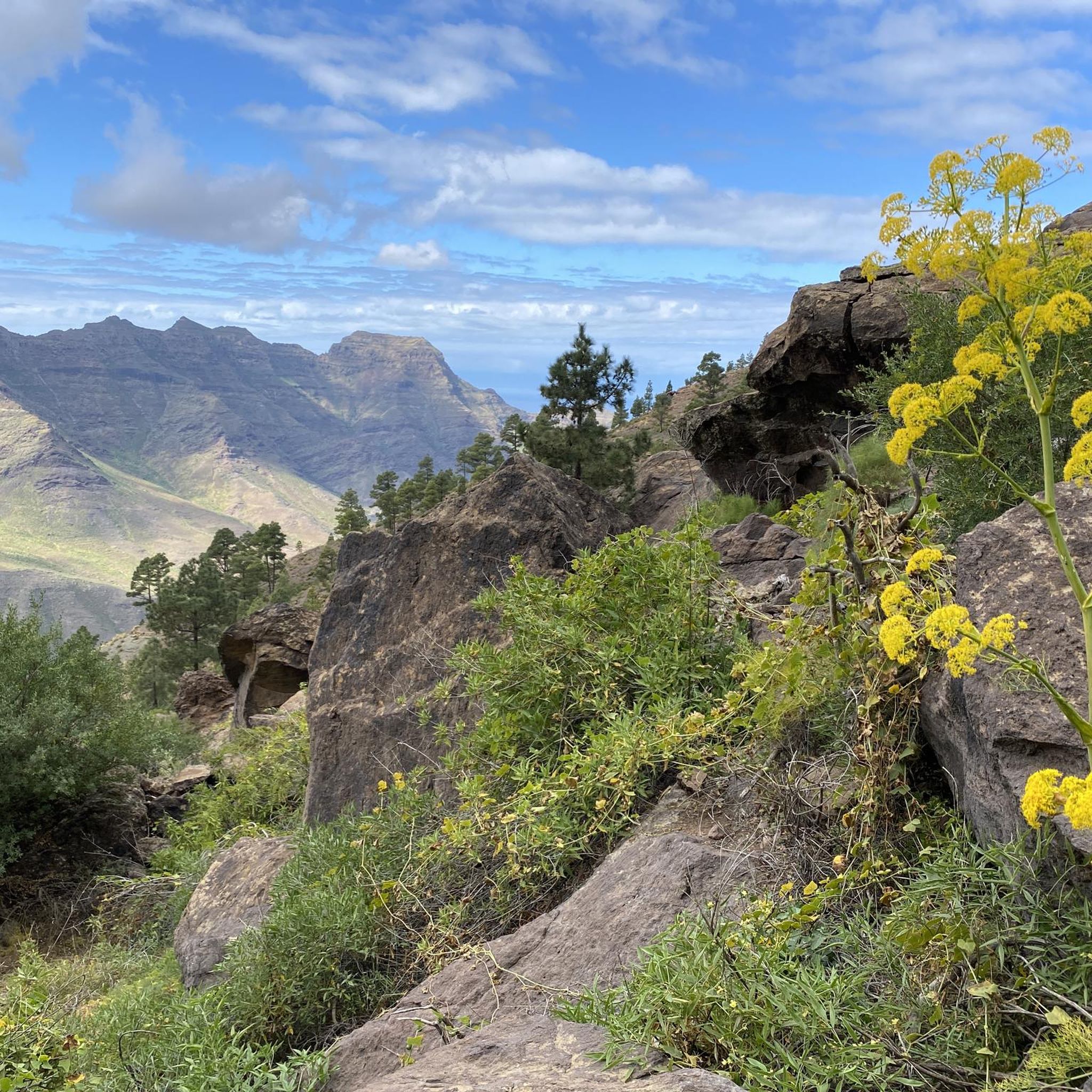
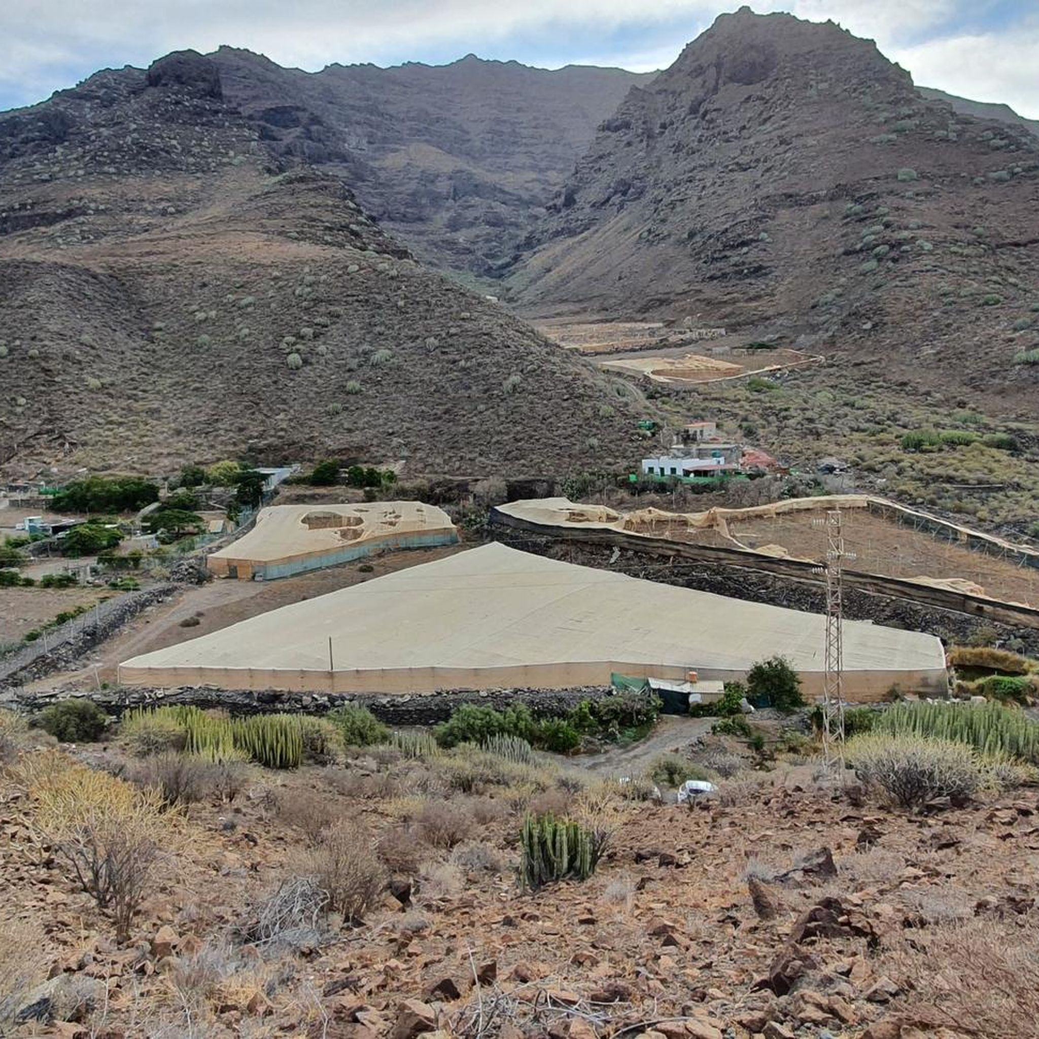
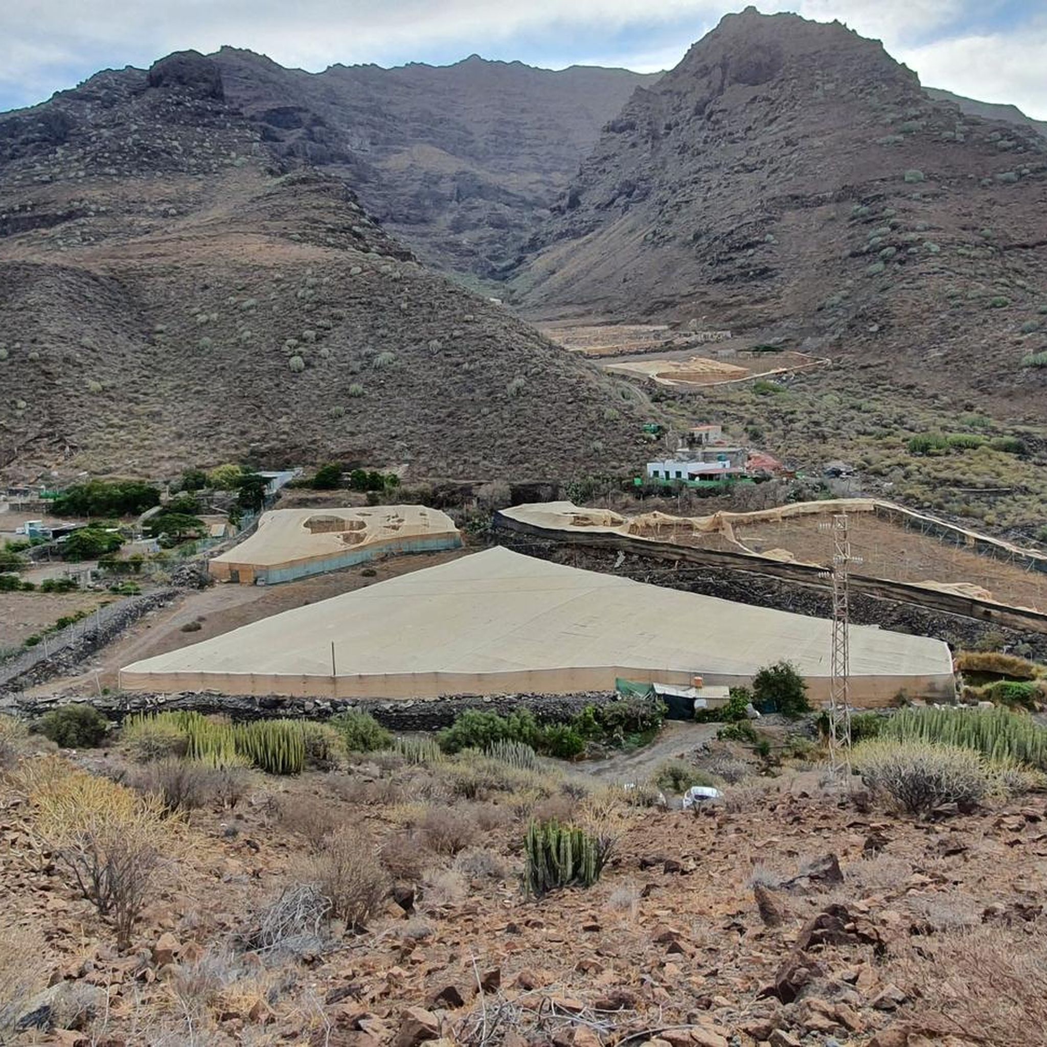
Jogging around San Nicolás De Tolentino offers diverse terrains, from coastal paths to mountainous trails, catering to various fitness levels. The region is characterized by dramatic landscapes, including barren mountains, barrancos (ravines), and volcanic formations. Parque Natural de Tamadaba, a UNESCO Biosphere Reserve, provides challenging routes through Canary Island pines. This area presents a variety of natural features for outdoor activities.
Best jogging routes around San Nicolás De Tolentino
- The most popular jogging route is La Fuente de Los Azulejos…
Last updated: August 20, 2026
4.8
(4)
40
runners
7.11km
01:33
530m
530m
Hard run. Very good fitness required. Sure-footedness, sturdy shoes and alpine experience required.
5.0
(5)
208
runners
6.20km
00:39
50m
50m
Moderate run. Good fitness required. Mostly paved surfaces. Suitable for all skill levels.

Sign up for free
4.4
(5)
187
runners
Moderate run. Good fitness required. Mostly paved surfaces. Suitable for all skill levels.
24
runners
8.36km
01:01
250m
250m
Moderate run. Good fitness required. Mostly accessible paths. Some sure footedness required.
17
runners
17.6km
03:16
1,170m
1,170m
Hard run. Very good fitness required. Sure-footedness, sturdy shoes and alpine experience required.
Get access to more routes and recommendations from other explorers.
Sign up for free
Already have an account?
Our route recommendations are based on thousands of hikes, rides, and runs completed by other people on komoot.
Start today with a free account
Your next adventure awaits.
Login or Signup

Tips from the Community

The Barranco de Mogán ends in Puerto de Mogán. This gorge is one of the most fertile valleys on the island, thanks to the reservoirs that supply it with water. The valley leads to spectacular gorges, and Puerto de Mogán serves as a starting point for numerous tours.
0
0

Magnificent hike with many beautiful viewpoints.
0
0
Visible from the road, but the hiking trail is really worth it with magnificent viewpoints.
0
0

Breathtakingly colored rocks. Most intense in the morning because of the sunlight. Just not early in the morning when it's still shady.
0
0

We took the bus from Playa del Ingles, cheap and quick. But it's not just the promenade that's busy here, there are also small shops, cafes and restaurants in the second row. A few hours' stay is enough for us...there's not quite as much going on in September.
0
0

These "pools" are small holes that sometimes contain a little water. There are also frogs here, so these pools are probably not intended for swimming or suitable if you respect nature - even if the name "pool" used here suggests that.
0
1
We hiked the tour anti-clockwise today and found it very good - especially since if you park at the kiosk, you can actually walk right out of the car when you come back and don't have to walk up the road in the blazing sun. The rock walls are impressive, not just the color, but also the clearly visible layers that have formed over thousands of years or more.
0
0
There is a parking lot and a kiosk with fresh fruit and drinks. The green rocks can be seen from far away. A stop here offers the opportunity to take a closer look at the rocks and of course to take photos. It is also a starting point for hikes (Ruta 2)
0
0
Frequently Asked Questions
How many running routes are available in San Nicolás De Tolentino?
There are nearly 20 dedicated running routes around San Nicolás De Tolentino. These routes offer a good mix of challenges, with 7 moderate and 12 difficult options to explore, catering to various fitness levels.
What kind of terrain can I expect on the running trails in San Nicolás De Tolentino?
The region offers incredibly diverse terrain, from scenic coastal paths to challenging mountainous trails. You'll encounter dramatic landscapes including barren mountains, deep barrancos (ravines), and volcanic formations. Some routes, like those in Parque Natural de Tamadaba, feature Canary Island pines and volcanic peaks, while others offer stunning coastal views.
Are there any running routes that offer unique natural sights or geological formations?
Yes, the area is known for its unique natural features. The La Fuente de Los Azulejos – circular trail running by Los Quemados is particularly notable for its colorful rock formations, known as 'Azulejos'. You can also find a Pool with view of the Azulejos nearby.
What do other runners enjoy most about jogging in San Nicolás De Tolentino?
The running routes in San Nicolás De Tolentino are highly rated by the komoot community, with an average score of 4.6 stars from over 30 reviews. Runners frequently praise the varied terrain, from coastal paths to challenging mountain trails, and the stunning natural beauty of the region.
Are there any family-friendly running options in San Nicolás De Tolentino?
While the guide primarily features moderate to difficult routes, the region does offer more accessible options. For instance, the 'Cactus Slope loop from Playa del Cura' (not listed in the guide but mentioned in research) is under 3 miles with moderate elevation, mostly on paved surfaces, making it suitable for families. Always check route details for specific suitability.
Can I find circular running routes in the area?
Absolutely! Many of the popular running routes in San Nicolás De Tolentino are circular. Examples include the challenging La Fuente de Los Azulejos – circular trail and the scenic Playa de Mogán – Puerto de Mogán Marina loop.
Are there any running routes that pass by significant landmarks or points of interest?
Yes, several routes offer views of or pass near interesting points. For example, the Playa de Mogán – Puerto de Mogán Marina loop takes you through coastal areas near the vibrant Puerto de Mogán Marina. The Parque Natural de Tamadaba route offers views towards Tamadaba Peak.
What is the best time of year to go running in San Nicolás De Tolentino?
San Nicolás De Tolentino generally offers favorable conditions for outdoor activities year-round due to its mild climate. However, for challenging mountain routes, it's advisable to avoid the hottest parts of summer and be prepared for varying weather conditions at higher altitudes. Coastal paths are pleasant almost any time.
Are there any long-distance running routes for experienced runners?
For experienced runners seeking a challenge, the Parque Natural de Tamadaba – circular to Morro de las Lechugas and Pico de la Bandera is an excellent option. This difficult 7.0-mile (11.2 km) path features significant elevation changes and requires sure-footedness, offering a rewarding long-distance experience through a natural park.
Are there any running trails that offer a tranquil and serene experience?
Yes, many routes, especially those venturing into the pastoral valleys and less-trafficked mountainous areas, provide a quiet and serene experience with minimal human presence. The diverse landscapes of San Nicolás De Tolentino allow for immersive outdoor experiences away from the crowds.
Are there any running routes near the coast?
Absolutely. The region boasts beautiful coastal paths. The Puerto de Mogán Beach loop from Playa del Cura is a great example, offering a 5.43 km route with coastal views. Another option is the Cactus Slope loop from Taurito, which also provides a coastal running experience.
What are the most challenging running routes in San Nicolás De Tolentino?
The most challenging routes typically involve significant elevation gains and rugged terrain. The Parque Natural de Tamadaba – circular to Morro de las Lechugas and Pico de la Bandera, with its 710m elevation gain, and the La Fuente de Los Azulejos – circular trail, with over 500m elevation, are considered difficult and require good fitness and experience.
Most popular routes around San Nicolás De Tolentino
Most popular attractions around San Nicolás De Tolentino

Get inspired with the komoot mobile app


Explore more
Browse the best Running Trails & Routes in other regions.
