The 5 Most Amazing Peaks around Tudanca
Best mountain peaks around Tudanca are found in the rugged, mountainous landscape surrounding this municipality in the Saja and Nansa valleys of Cantabria, Spain. The region's highest point within the municipality reaches 1815 meters. The broader area offers prominent peaks with spectacular views and hiking opportunities. This terrain is characterized by limestone with karst topography, creating deep north-south valleys and steep slopes.
Best mountain peaks around Tudanca
- The most popular mountain peaks is Tres Mares Peak, a summit that…
Last updated: July 4, 2026
Peña Labra
Highlight • Summit
Translated by Google •
Tip by

Tres Mares Peak
Highlight • Summit
Translated by Google •
Tip by
Sign up now to discover places like this
Get recommendations on the best single tracks, peaks, & plenty of other exciting outdoor places.
Sign up for free
Canto Redondo Summit
Highlight • Summit
Translated by Google •
Tip by

El Zarceillo
Highlight • Summit
Translated by Google •
Tip by

View of Castro Zacarriel
Highlight • Viewpoint
Translated by Google •
Tip by

Start today with a free account
Your next adventure awaits.
Login or Signup

Other adventures around Tudanca

Tips from the Community

All these landscapes are simply spectacular, while the climbs to them are very tough.
0
0
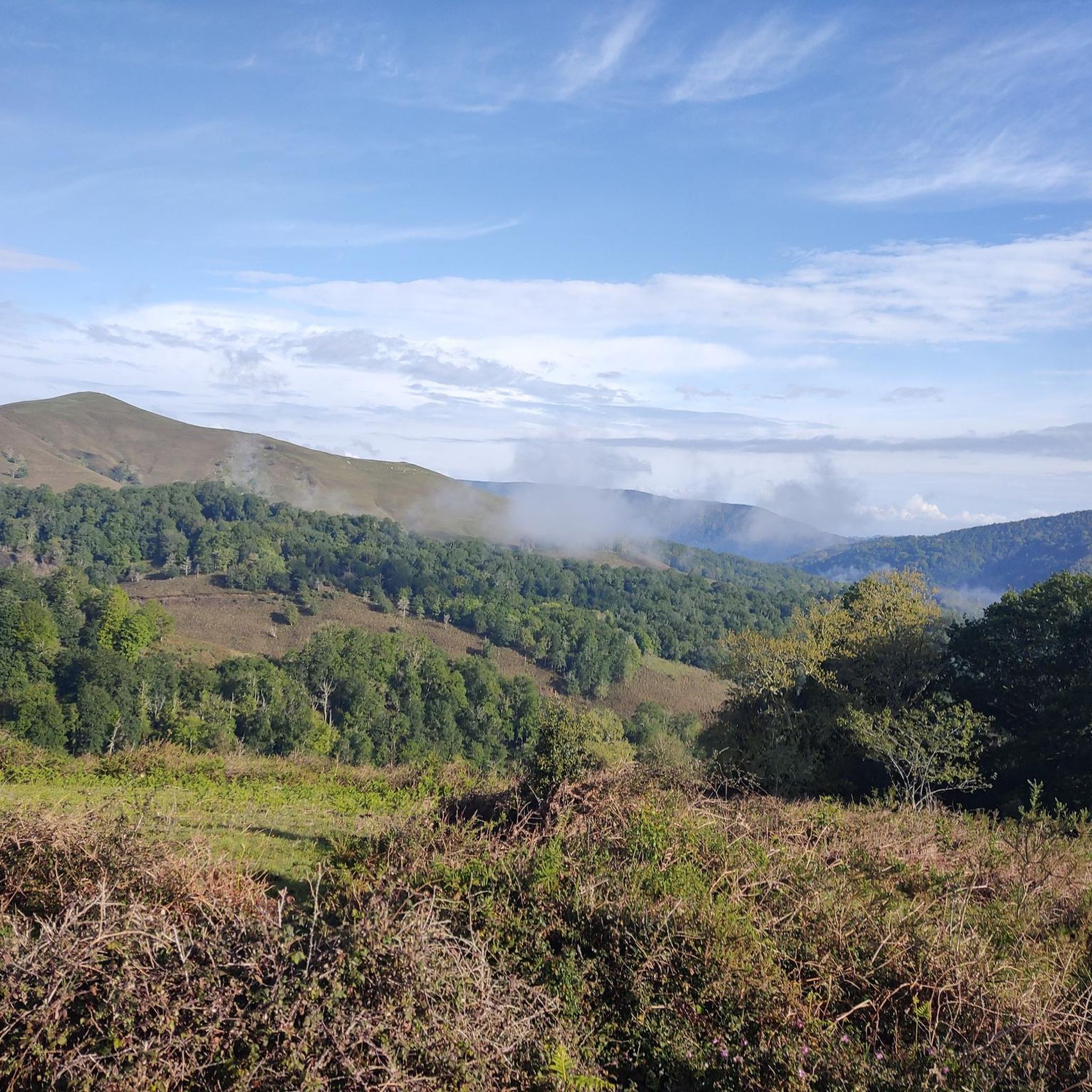
The Zarceillo, at 905 metres above sea level, is an excellent viewing point over the Cantabrian valleys of Cabuérniga, the Sierra del Escudo de Cabuérniga, Picos de Europa, etc. Halfway up, you can also climb the Matamiguela, which is at a lower altitude. At the top there is a hut with a repeater.
0
0

Good views, tough climb
0
0

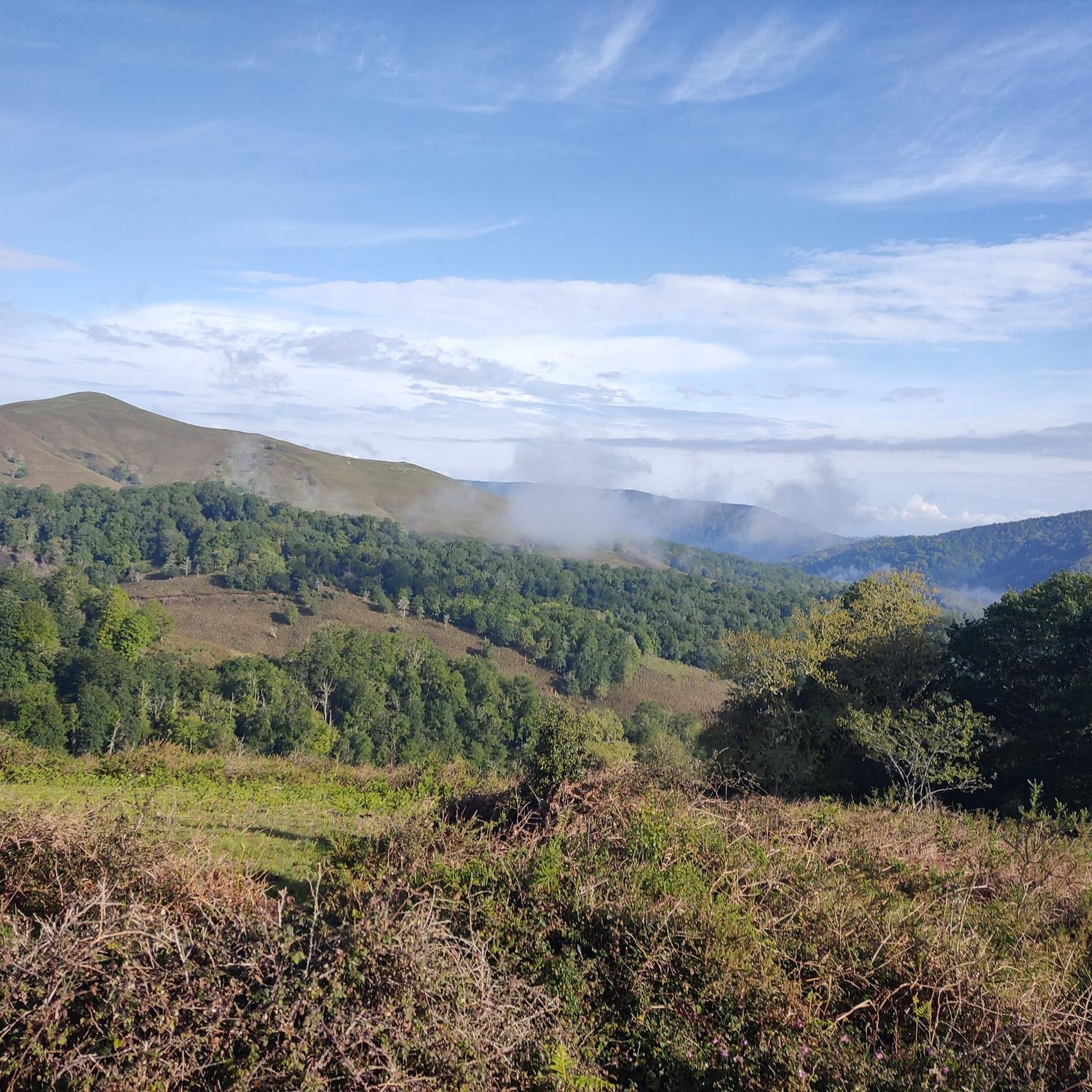
At 2029 meters above sea level, the top of Peña Labra is located in a privileged place. It represents the border between the Community of Cantabria and Castilla y León, so to the north you will have impressive views of the Cantabrian interior and the mountains of the Picos de Europa National Park, while to the south you will be able to appreciate another wonderful landscape such as the of the Montaña Palencia Natural Park. Crowning its peak is for the most daring, very technical sectors and not suitable for those who suffer from vertigo, but it has a great reward.
1
0
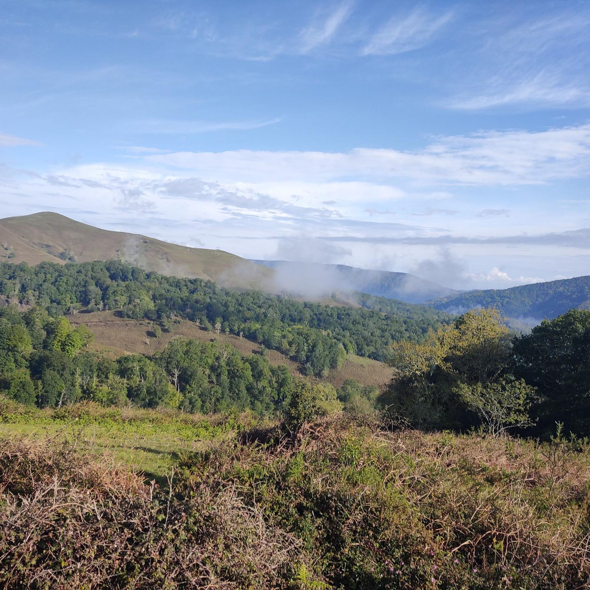
Very close to the Alto Campo ski resort and located at 2,149 meters above sea level, the top of Tres Mares is one of those peaks that you cannot miss. You will have wonderful views towards the Cantabrian interior, the Picos de Europa National Park and the neighboring Montaña Palentina Natural Park in the Castilla y León region.
6
0
At 2029 meters above sea level, the top of Peña Labra is located in a privileged place. It represents the border between the Community of Cantabria and Castilla y León, so to the north you will have impressive views of the Cantabrian interior and the mountains of the Picos de Europa National Park, while to the south you will be able to appreciate another wonderful landscape such as the of the Montaña Palencia Natural Park.
3
0

Summit with a geodesic vertex where you can see fantastic 360º views. On one side you can see the entire area that includes the sea, clearly visible coastal places such as San Vidente and Comillas ... even Santander in the background. On the other side Ruente and its mountains ... And Peña Sagra, the Picos de Europa ... you can't ask for more.
3
0
Frequently Asked Questions
What are some of the most impressive mountain peaks to visit near Tudanca?
The region around Tudanca offers several notable peaks. Tres Mares Peak, at 2,149 meters, provides panoramic views of the Cantabrian interior, Picos de Europa National Park, and Montaña Palentina Natural Park. Another significant summit is Peña Labra, which stands at 2,029 meters and marks a natural border between Cantabria and Castilla y León, offering diverse views of both regions.
Which mountain peaks offer the best panoramic views of the region around Tudanca?
For truly comprehensive views, Canto Redondo Summit is an excellent choice. From its geodesic vertex, you can enjoy 360º views, including the sea and coastal towns like San Vicente and Comillas, with Santander in the background. Inland, it offers vistas of Ruente, Peña Sagra, and the Picos de Europa. Tres Mares Peak also provides unparalleled panoramic views of the Cantabrian interior and surrounding natural parks.
Are there any challenging mountain peaks for experienced hikers around Tudanca?
Yes, Peña Labra is considered a challenging ascent. Crowning its peak involves very technical sectors and is not suitable for those who suffer from vertigo, but it offers a great reward with its impressive views from 2,029 meters above sea level.
What kind of natural landscape can I expect when visiting the mountains around Tudanca?
The region around Tudanca is characterized by a rugged, mountainous landscape with limestone and karst topography, creating deep north-south valleys and steep slopes. You'll find protected forests with lush green trees like oaks and beeches, rivers, and diverse wildlife. The cool air and stunning natural surroundings make it a paradise for nature lovers.
Are there any peaks suitable for beginners or those looking for easier ascents near Tudanca?
For those seeking impressive vistas without requiring an ascent to the highest peaks, El Zarceillo is an excellent option. At 905 meters above sea level, it serves as a great viewpoint over the Cantabrian valleys of Cabuérniga, the Sierra del Escudo de Cabuérniga, and the Picos de Europa.
What outdoor activities can I do in the mountains around Tudanca besides peak bagging?
Beyond summiting peaks, the region offers a variety of outdoor activities. You can explore numerous running trails, such as the challenging "Peña Labra y Pico Tres Mares – trail run desde el collado de Fuente del Chivo" or easier loops from Cabuérniga. There are also extensive hiking opportunities and mountain biking routes available. For more details, you can check the Running Trails around Tudanca, Hiking around Tudanca, and MTB Trails around Tudanca guides.
Are there specific hiking trails I can explore near these mountain peaks?
Yes, there are many hiking trails. For instance, you can find routes like the "Lamiña Waterfalls loop from Terán" or the "Old Chestnut Grove – Fuente de Selores loop from Sopeña." These trails vary in difficulty from easy to difficult, allowing you to explore the diverse landscapes around Tudanca. More information can be found in the Hiking around Tudanca guide.
Can I go mountain biking in the Tudanca region?
Absolutely. The area provides several mountain biking routes, including challenging ones like "San Sebastián de Garabandal desde Tudanca – circular por el embalse de La Cohilla" or "Los Tojos – Correpoco Trail loop from Cabuérniga." There are also moderate options available. For detailed routes, refer to the MTB Trails around Tudanca guide.
What is the best time of year to hike the mountain peaks around Tudanca?
The region experiences cool air and stunning natural surroundings, making it enjoyable for hiking during many seasons. Spring and autumn generally offer pleasant temperatures and vibrant landscapes, ideal for exploring the trails and peaks. Summer can also be suitable, especially at higher altitudes, but it's always wise to check local weather conditions.
Are there any peaks that offer views of both the coast and inland mountains?
Yes, Canto Redondo Summit is unique in this regard. From its vantage point, you can clearly see the sea and coastal towns like San Vicente and Comillas, with Santander visible in the distance, while also enjoying inland views of Ruente, Peña Sagra, and the Picos de Europa.
What makes the region around Tudanca unique for mountain enthusiasts?
The region's uniqueness lies in its dramatic karst topography, deep valleys, and steep slopes, all within a protected natural park setting. It offers a blend of high-altitude challenges like Tres Mares Peak and accessible viewpoints like El Zarceillo, providing diverse experiences for all levels. The ability to view both the Cantabrian interior, the Picos de Europa, and even the coast from certain summits adds to its distinct appeal.
Are there any circular hiking routes available in the Tudanca mountains?
Yes, several circular routes are available for hikers. For example, the "Old Chestnut Grove – Fuente de Selores loop from Sopeña" is a moderate option, and the "Lamiña Waterfalls loop from Lamiña" offers an easier circular hike. You can find more details and other circular routes in the Hiking around Tudanca guide.
Most popular attractions around Tudanca

Get inspired with the komoot mobile app


Explore more
See even more amazing summits around Tudanca with these guides:
