The best MTB trails around Tudanca
4.9
(30)
382
riders
23
rides
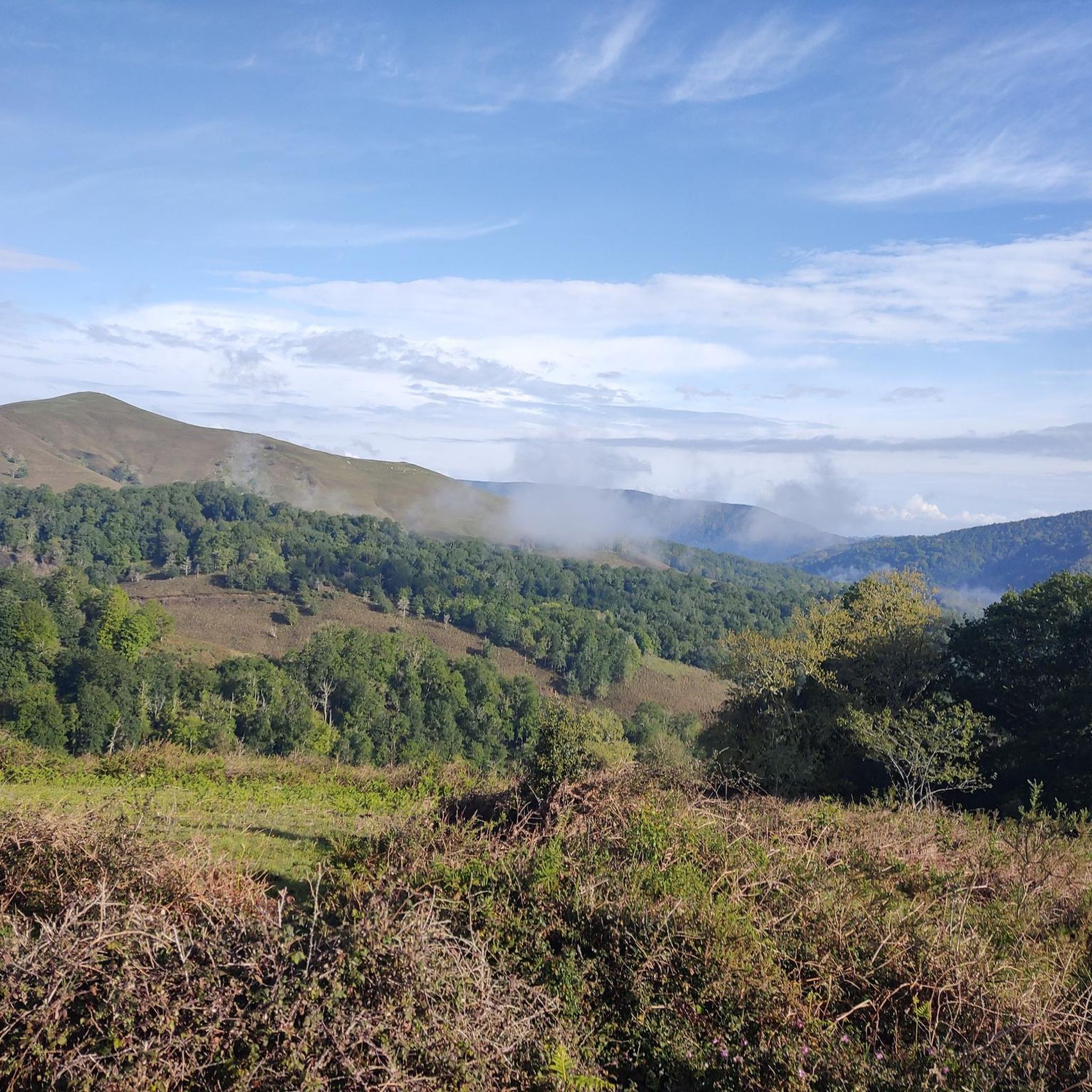
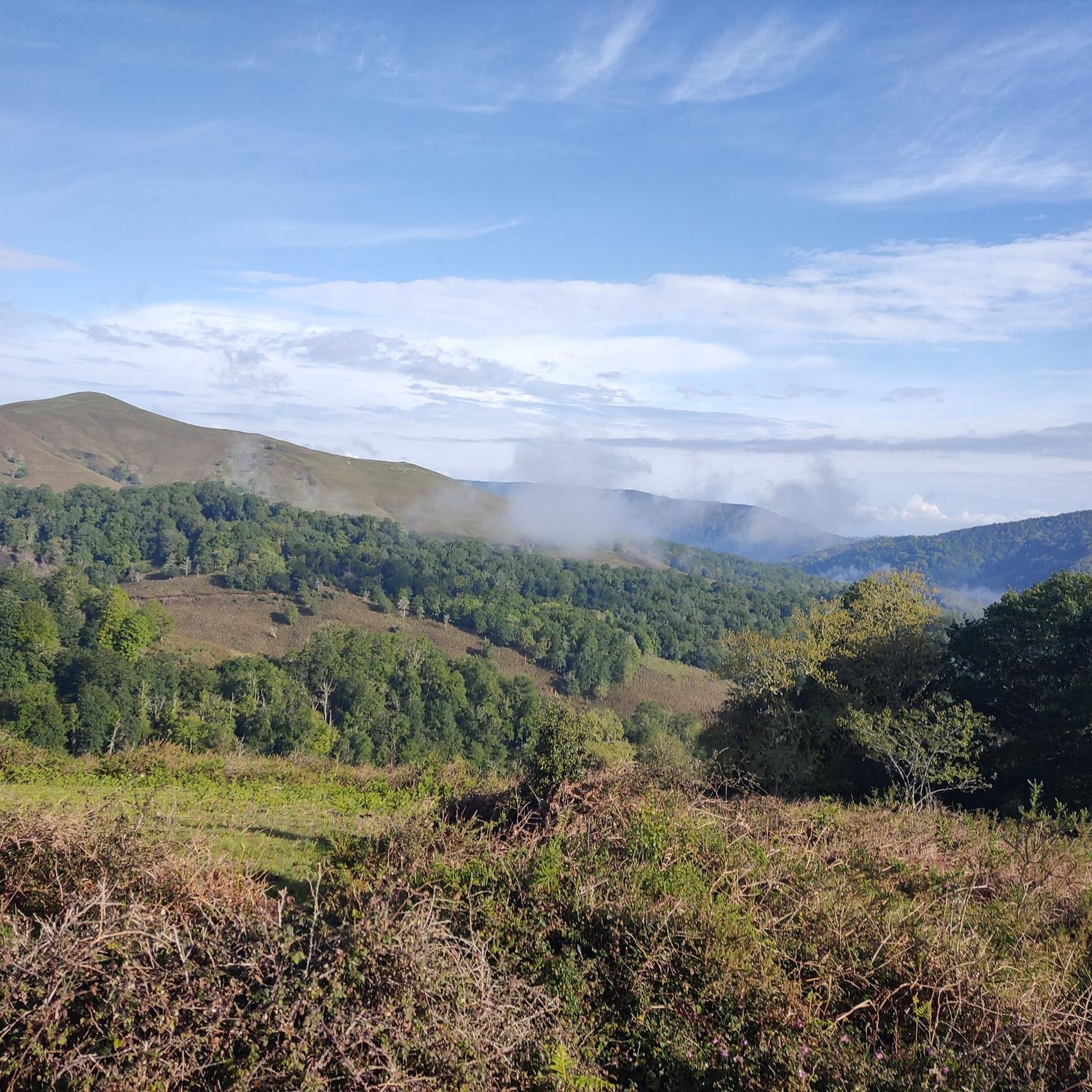
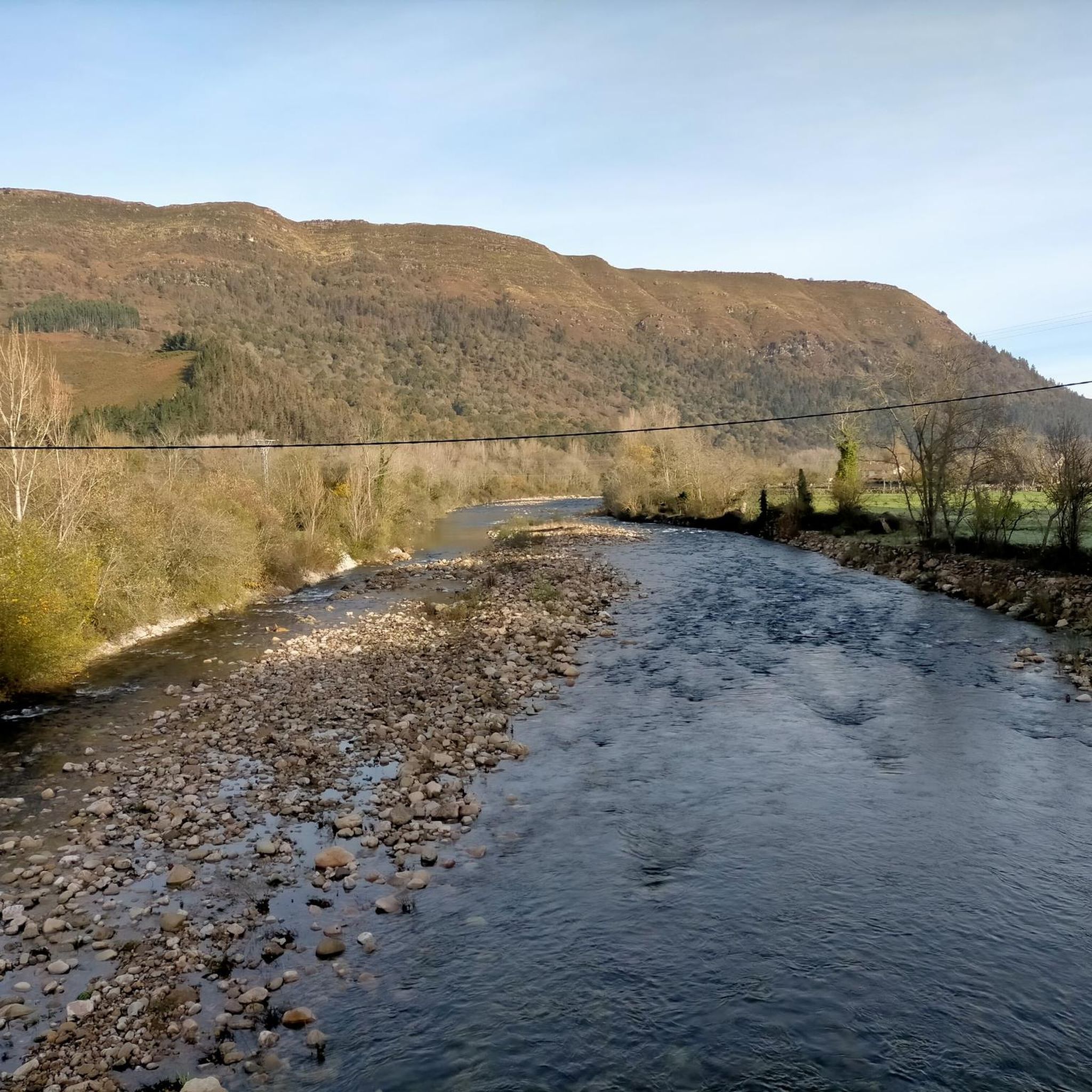
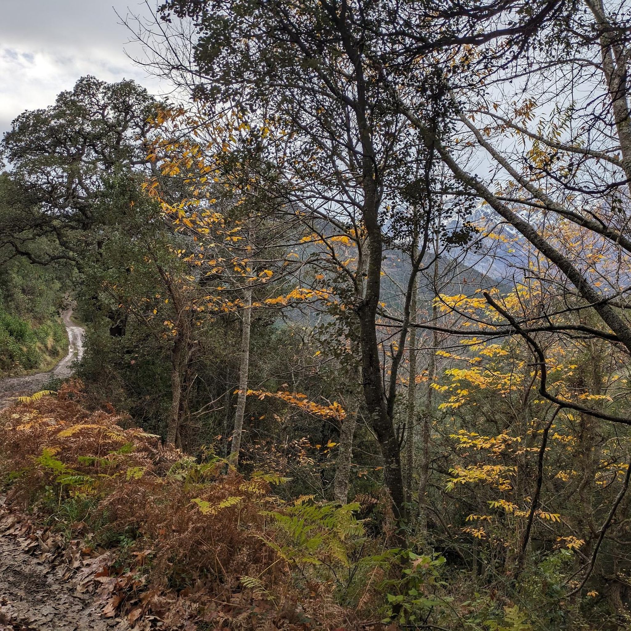
Mountain biking around Tudanca offers a variety of routes through diverse terrain. The region is characterized by its hilly landscape, featuring significant elevation changes and natural water features like reservoirs and fountains. Trails often traverse forested areas and open mountain passes, providing varied riding experiences. The area's geology supports a network of paths suitable for mountain biking.
Best mountain bike trails around Tudanca
- The most popular mountain bike trail is San Sebastián de Garabandal desde Tudanca – circular por el…
Last updated: May 20, 2026
40.4km
04:12
1,330m
1,330m
Hard mountain bike ride. Very good fitness required. Advanced riding skills necessary.
20
riders
45.1km
04:11
1,200m
1,200m
Hard mountain bike ride. Very good fitness required. Suitable for all skill levels.

Sign up for free
5.0
(2)
14
riders
52.3km
04:27
1,260m
1,260m
Hard mountain bike ride. Very good fitness required. Suitable for all skill levels.
5.0
(1)
15
riders
25.4km
02:05
630m
630m
Moderate mountain bike ride. Good fitness required. Suitable for all skill levels.
5.0
(2)
10
riders
27.6km
02:07
670m
670m
Moderate mountain bike ride. Good fitness required. Suitable for all skill levels.
Get access to more routes and recommendations from other explorers.
Sign up for free
Already have an account?
Our route recommendations are based on thousands of hikes, rides, and runs completed by other people on komoot.
Start today with a free account
Your next adventure awaits.
Login or Signup

Other adventures around Tudanca

Tips from the Community

From Los Tojos (636 m) and Colsa (729 m) the rope is gained at the Venta Vieja pass (1152 m), where one of the many inns that awaited the traveller along the way was located.
0
0
A hill located below the summit of the same name as the Saja reserve, resting on a ridge of gentle elevations above the Cabuérniga valley. These Saja mountains are often known as the Sierra de Bárcena Mayor, due to the town that lies at its feet at an altitude of 534 metres. In ancient times, the so-called Camino de Castilla or Reinosa road crossed this ridge towards the lands of Campoo. From Los Tojos (636 m) and Colsa (729 m) the ridge was reached at the Venta Vieja hill (1152 m), where one of the many inns that awaited the traveller along the way was located.
0
0
The Collada de Carmona is a mountain pass in the Cantabrian mountain range located in western Cantabria.[1] It rises to 601 m above sea level and links the towns of Valle to the east and Carmona to the west, both belonging to the municipality of Cabuérniga.
0
0
The Monte Aa Pass is a very beautiful climb with spectacular landscapes. The pass is located on the mountain that separates Carmona from Ruente. Along the route we will find different trees catalogued within the Inventory of Singular Trees of Cantabria. These are spectacular specimens of oak and beech. The Monte Aa forest is made up of a mature oak forest dominated by oaks. To a lesser extent, there are beeches, sessile oaks and oaks. The abundance of holly trees is remarkable. As for the fauna that inhabits it, birds such as the goshawk, the sparrowhawk, the black kite, the common buzzard, the common kestrel, the woodpecker and other forest birds stand out. Mammals such as the roe deer, the deer or the badger and carnivores such as the marten or the polecat.
2
0
The climb to Negreo along the southern slopes of Renedo and Moscadoriu, due to its length, is not one of the longest, it is only 6 kilometres but in two sections, each one stickier than the other, the first 3 kilometres with very hard concrete ramps with a gradient of up to 18-20% that make the bike rise more than expected and the last three kilometres with a lesser gradient but on more technical and broken terrain.
0
0

This town is located 640 meters above sea level and surrounded by deciduous forest mountains. Although Los Tojos only has 120 inhabitants, it has a perfect inn to rest your legs after a long walk.
0
0

Great paths for biking and the views are spectacular! Almost free of traffic and in perfect condition. Watch out for cows and cow pats on the road!
1
0
A handy source if you need to fill your water bottle.
1
0
Frequently Asked Questions
How many mountain bike trails are available around Tudanca?
There are over 20 mountain bike trails around Tudanca, offering a variety of experiences through the region's hilly landscape, forested areas, and mountain passes. These routes are highly rated by the komoot community.
Are there any easy mountain bike trails for beginners in Tudanca?
While many routes in Tudanca feature significant elevation gain, there are several moderate trails that might be suitable for beginners looking for a challenge. Currently, there are 8 moderate trails available, with the remaining 15 being difficult. You can find options that traverse varied terrain without the most extreme ascents.
What are some good mountain bike trails for experienced riders?
Experienced riders will find plenty of challenging options. For example, the San Sebastián de Garabandal desde Tudanca – circular por el embalse de La Cohilla is a difficult 25.1-mile (40.4 km) trail with over 1,300 meters of elevation gain. Another demanding route is the Stone Fountain – Ucieda Parking with Fountain loop from Rionansa, which covers 28.0 miles (45.1 km) and includes natural spring features.
Are there any circular mountain bike routes in the Tudanca area?
Yes, many of the mountain bike trails around Tudanca are circular, allowing you to start and end at the same point. Examples include the San Sebastián de Garabandal desde Tudanca – circular por el embalse de La Cohilla and the Los Tojos – Correpoco Trail loop from Cabuérniga.
What kind of natural attractions can I see while mountain biking near Tudanca?
The region is rich in natural features. You can encounter significant elevation changes, forested areas, and natural water features like reservoirs and fountains. Specific highlights include the Pozo del Infierno Waterfall and the Lamiña Waterfalls. You might also pass by impressive summits such as Tres Mares Peak and Peña Labra.
Are there any viewpoints along the mountain bike trails in Tudanca?
Given the hilly landscape and significant elevation changes, many trails offer panoramic views of the surrounding region. Routes that traverse open mountain passes, such as those leading to Tres Mares Peak or Peña Labra, are likely to provide excellent viewpoints.
What is the best time of year for mountain biking in Tudanca?
The best time for mountain biking in Tudanca is typically during the spring and autumn months when the weather is milder and the trails are less likely to be affected by extreme heat or winter conditions. The region's diverse terrain can be enjoyed in various seasons, but these periods offer optimal riding conditions.
What do other mountain bikers enjoy most about the trails in Tudanca?
The mountain bike trails in Tudanca are highly rated by the komoot community, with an average score of 4.9 stars from over 20 reviews. Reviewers often praise the challenging ascents, the varied terrain, and the scenic routes around natural water bodies like the La Cohilla reservoir.
Are there any trails that pass by interesting historical or cultural landmarks?
While the focus is on natural beauty, some routes may pass through or near traditional villages. For example, the Ucieda Parking with Fountain – Collada de Carmona loop from Cabuérniga takes you through the Cabuérniga valley, an area known for its cultural heritage.
Are there any trails that feature natural springs or fountains?
Yes, the region is characterized by natural water features. The Ucieda Parking with Fountain – Stone Fountain loop from Lamiña is an example of a route that highlights these natural springs and fountains.
What is the typical length of mountain bike trails in Tudanca?
The mountain bike trails around Tudanca vary significantly in length. You can find routes ranging from moderate 15.8-mile (25.4 km) loops to more challenging 32.5-mile (52.3 km) expeditions. The average duration for these rides is typically between 2.5 to 4.5 hours, depending on the trail and your pace.
Most popular attractions around Tudanca

Get inspired with the komoot mobile app


Explore more
Browse the best MTB trails in other regions.
