The best running trails around Tudanca
101
runners
18
runs
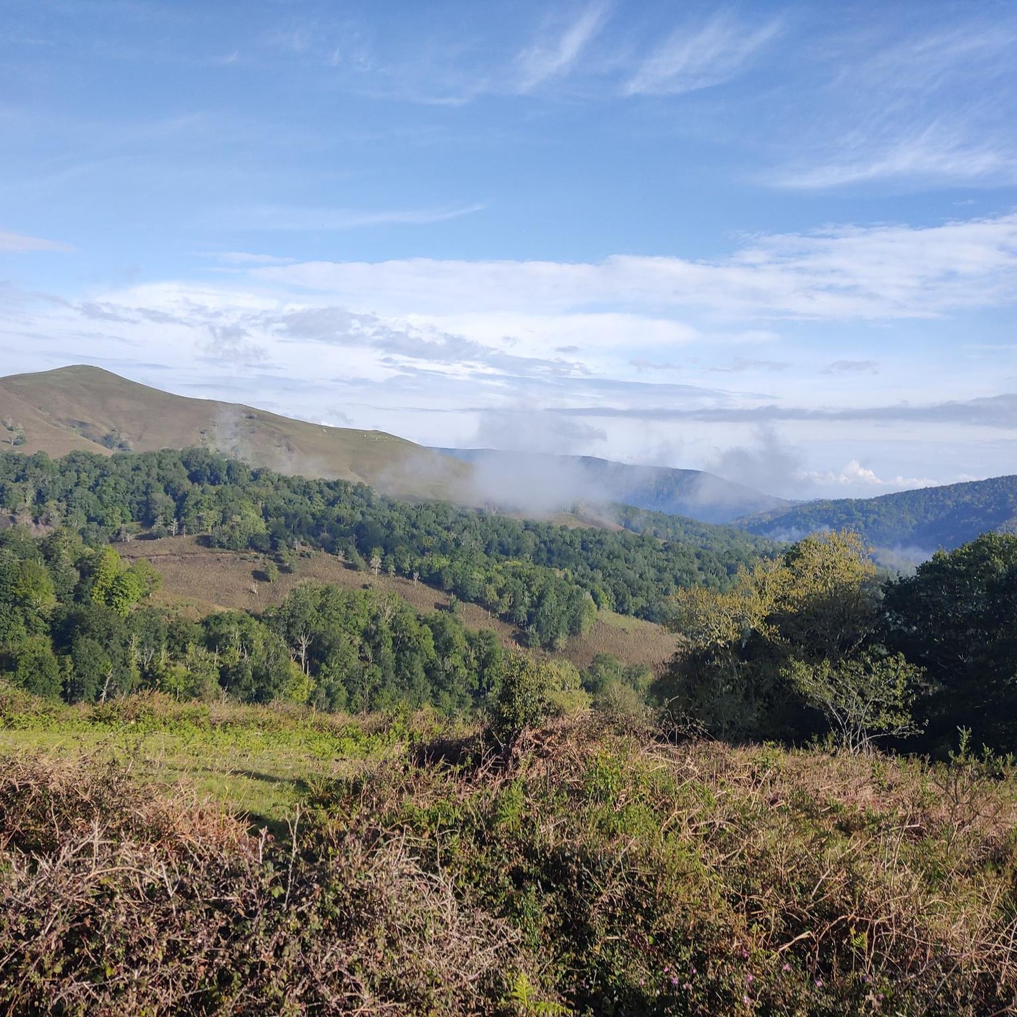
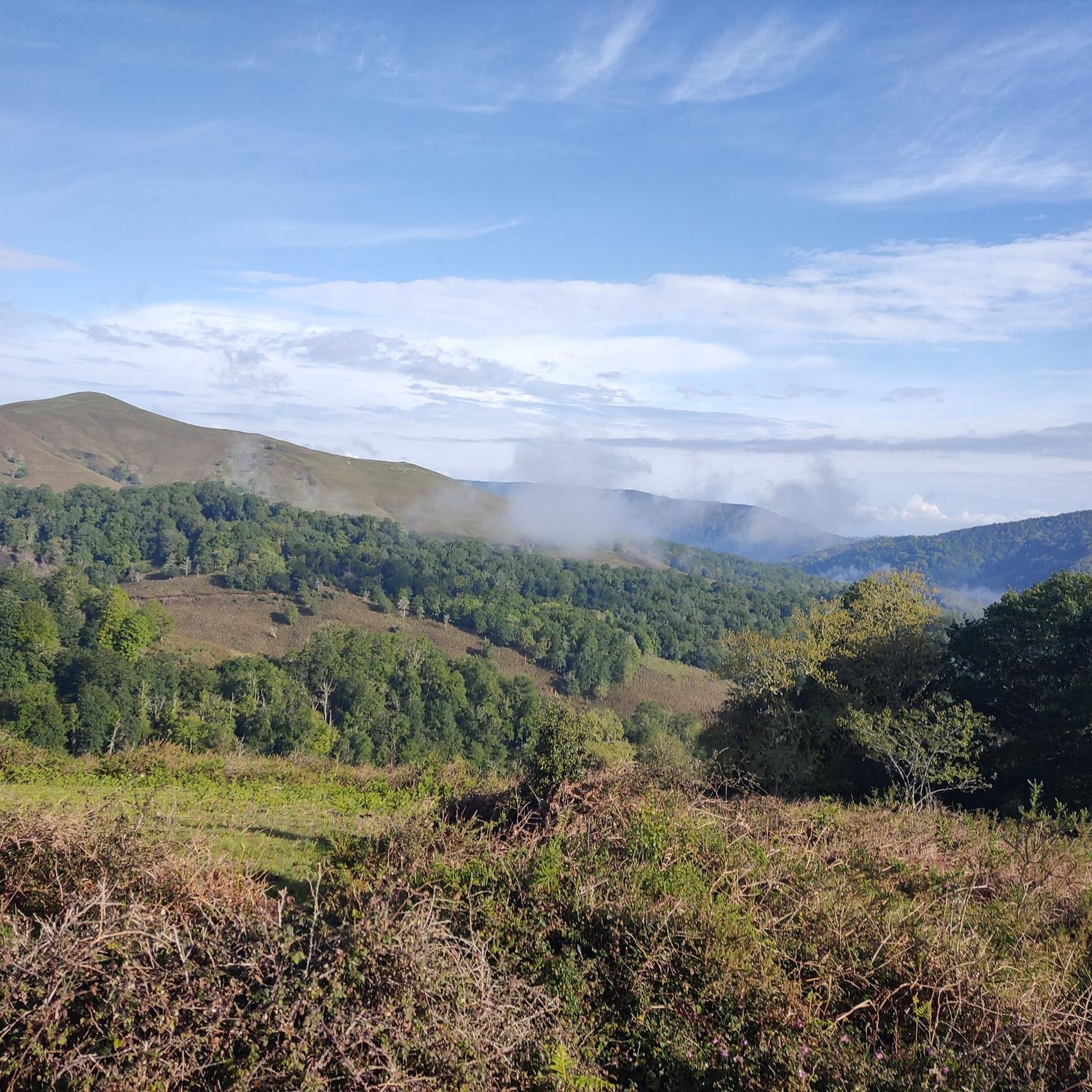
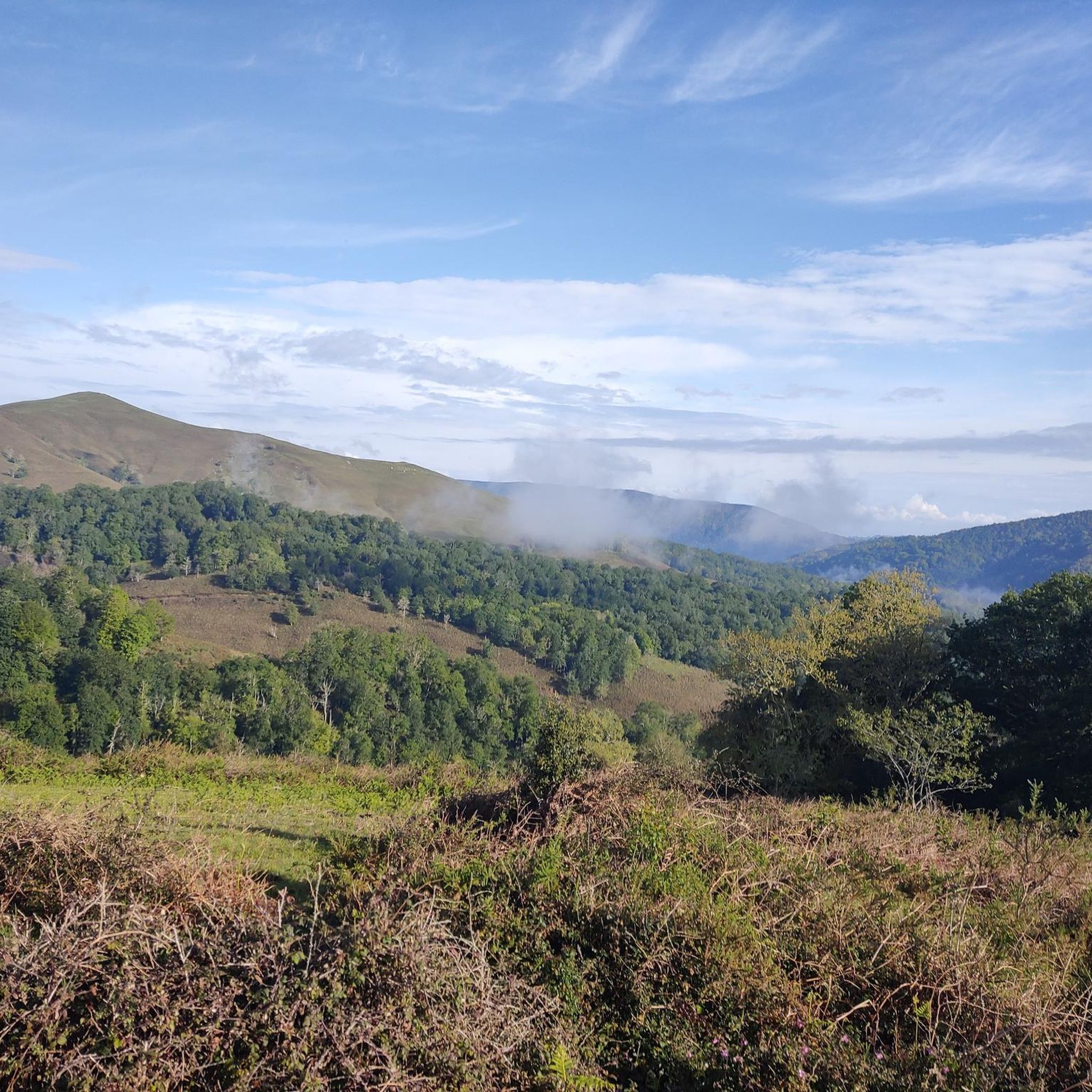
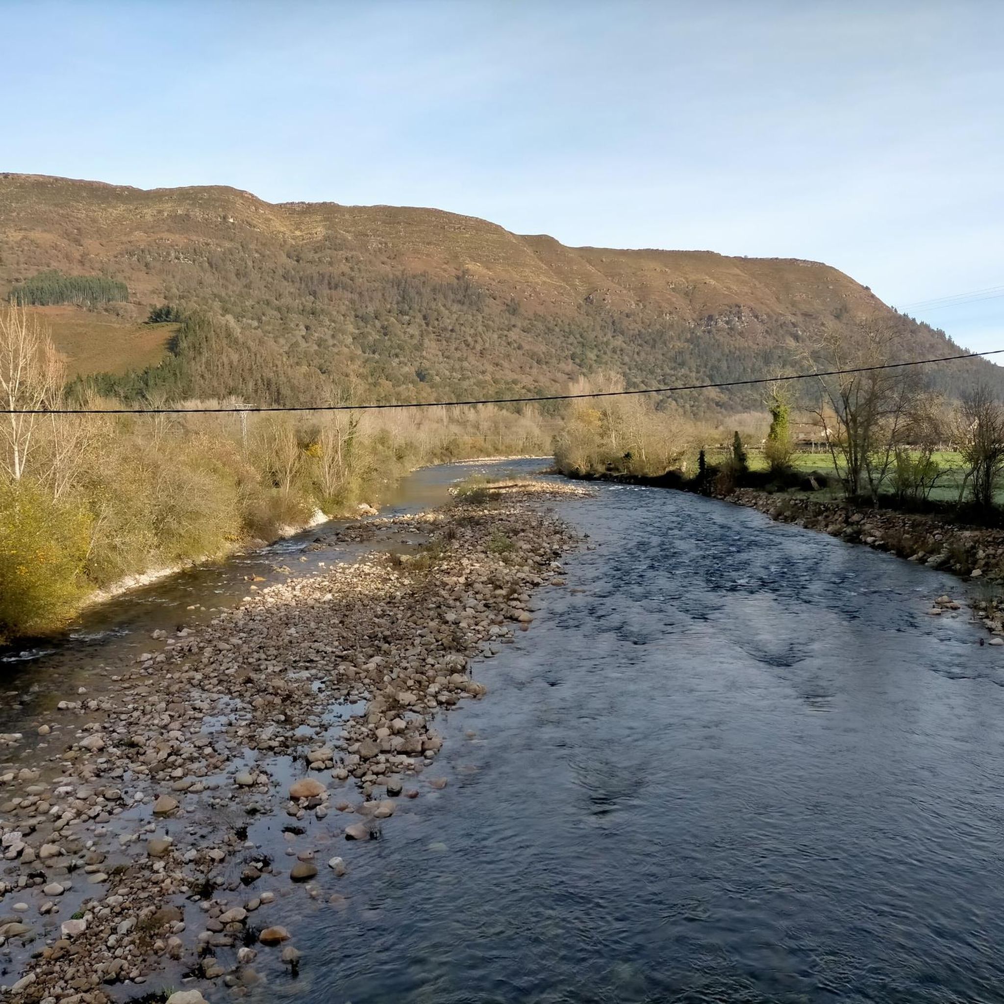
Jogging around Tudanca offers diverse terrains within the Nansa Valley, characterized by lush green landscapes and surrounding mountains. The region features protected forests of oaks and beeches, alongside the Nansa River, providing varied environments for running. Runners can explore gentle routes along the valley floor or challenge themselves on the steep slopes of the mountainous terrain, which includes viewpoints like Mirador de El Potro.
Best jogging routes around Tudanca
- The most popular jogging route is Peña Labra y Pico Tres…
Last updated: May 19, 2026
5
runners
Hard run. Very good fitness required. Mostly accessible paths. Some sure footedness required.
43
runners
18.4km
02:56
1,040m
1,040m
Hard run. Very good fitness required. Mostly paved surfaces. Suitable for all skill levels.

Sign up for free
10
runners
4.67km
00:29
30m
30m
Easy run. Great for any fitness level. Mostly paved surfaces. Suitable for all skill levels.
9
runners
8.82km
01:01
230m
230m
Moderate run. Good fitness required. Mostly paved surfaces. Suitable for all skill levels.
6
runners
42.1km
05:09
1,320m
1,320m
Hard run. Very good fitness required. Mostly paved surfaces. Suitable for all skill levels.
Get access to more routes and recommendations from other explorers.
Sign up for free
Already have an account?
Our route recommendations are based on thousands of hikes, rides, and runs completed by other people on komoot.
Start today with a free account
Your next adventure awaits.
Login or Signup

Other adventures around Tudanca

Tips from the Community

One of the most beautiful spots on this section of the GR71.
1
0
And the views of the town from the other side, enchanting.
2
0

This town is located 640 meters above sea level and surrounded by deciduous forest mountains. Although Los Tojos only has 120 inhabitants, it has a perfect inn to rest your legs after a long walk.
0
0
On your way you find this small wooden bridge that helps you cross the Balneria stream.
0
0
Walking through these paths full of vegetation is a real pleasure.
0
0

There is not much to say, I agree with Óscar that the bridge is up to the town it belongs to... everything in this town is very well cared for and preserved. It also has a couple of "sidings" so that pedestrians could withdraw when a vehicle was going to cross over the bridge (now prohibited) and they have put some chairs to sit down.
1
0

At 2029 meters above sea level, the top of Peña Labra is located in a privileged place. It represents the border between the Community of Cantabria and Castilla y León, so to the north you will have impressive views of the Cantabrian interior and the mountains of the Picos de Europa National Park, while to the south you will be able to appreciate another wonderful landscape such as the of the Montaña Palencia Natural Park. Crowning its peak is for the most daring, very technical sectors and not suitable for those who suffer from vertigo, but it has a great reward.
1
0
Very close to the Alto Campo ski resort and located at 2,149 meters above sea level, the top of Tres Mares is one of those peaks that you cannot miss. You will have wonderful views towards the Cantabrian interior, the Picos de Europa National Park and the neighboring Montaña Palentina Natural Park in the Castilla y León region.
5
0
Frequently Asked Questions
How many running routes are available around Tudanca?
There are over 15 running routes in the Tudanca area, offering a variety of experiences. These include paths ranging from easy strolls along the Nansa Valley to challenging trail runs through mountainous terrain.
Are there easy running routes suitable for beginners or families in Tudanca?
Yes, Tudanca offers several easy running paths perfect for beginners or families. For instance, the Running loop from Cabuérniga is an easy 4.7 km (2.9 miles) trail that takes you through the lush green landscapes of the Nansa Valley, often completed in about 30 minutes. There are 3 easy routes in total.
What are some of the more challenging trail running options near Tudanca?
For experienced runners seeking a challenge, Tudanca's mountainous terrain provides several difficult routes. The Peña Labra y Pico Tres Mares – trail run desde el collado de Fuente del Chivo is a difficult 8.5 km (5.3 miles) trail with significant elevation gain. Another demanding option is the Tres Mares Peak – Tres Mares loop from Estación de Esquí y Montaña Alto Campoo, an 18.6 km (11.6 miles) path offering extensive views from higher elevations. In total, there are 10 difficult routes available.
Can I find circular running routes in the Tudanca region?
Yes, many of the running routes around Tudanca are designed as loops, allowing you to start and finish in the same location. For example, the Running loop from Cabuérniga is a popular circular option through the Nansa Valley. The Running loop from Sopeña is another moderate circular route covering 8.8 km (5.5 miles).
What kind of natural scenery and attractions can I expect to see while running around Tudanca?
Running around Tudanca offers diverse and beautiful scenery. You'll encounter lush green landscapes of the Nansa Valley, protected forests of oaks and beeches, and the Nansa River. Higher elevation routes provide spectacular vistas of the surrounding mountains and valleys, such as those from the Mirador de El Potro. You might also pass by natural monuments like the Fallen Oak of Brujilices or summits like Peña Labra and Tres Mares Peak.
Are there any waterfalls along the running trails in Tudanca?
Yes, the region around Tudanca features natural attractions including waterfalls. You can find the Pozo del Infierno Waterfall, which could be an interesting point of interest to incorporate into a longer run or visit separately.
Are the running trails around Tudanca dog-friendly?
Many natural trails in the Tudanca area are generally dog-friendly, especially those in the Nansa Valley and forested areas. However, it's always recommended to keep dogs on a leash, especially in areas with wildlife or near livestock, and to check specific park regulations if entering protected areas like the Saja-Besaya Natural Park.
What is the best time of year to go running in Tudanca?
The Nansa Valley and surrounding mountains offer pleasant running conditions for much of the year. Spring and autumn provide mild temperatures and vibrant scenery with lush greenery or autumnal colors. Summer can be warm, but higher elevation routes offer cooler air. Winter running is possible, but some higher trails might be affected by snow or ice, so checking local weather conditions is advisable.
Are there any running routes that pass through traditional villages or offer cultural insights?
While the routes primarily focus on natural landscapes, Tudanca itself is a charming historic village. Running through the Nansa Valley and exploring the traditional communal meadows ('prados concejiles') can offer a unique cultural and natural experience, connecting you with the region's heritage.
What are the typical lengths and durations of running routes in Tudanca?
Running routes in Tudanca vary significantly in length and duration to suit different fitness levels. You can find shorter routes like the Running loop from Cabuérniga, which is 4.7 km (2.9 miles) and takes about 30 minutes. Longer, more challenging trails, such as the Wooden bridge – Lush vegetation loop from Los Tojos, can be up to 42 km (26 miles) and take several hours to complete.
Are there any viewpoints along the running trails that offer panoramic views?
Yes, the mountainous terrain around Tudanca features several viewpoints that offer spectacular panoramic views. The Mirador de El Potro, at an elevation of 1,100 meters, provides stunning vistas of the Bejo gorge and surrounding forests. Other summits like Potro Callicedo also offer rewarding views for those who tackle the climbs.
Most popular attractions around Tudanca

Get inspired with the komoot mobile app


Explore more
Browse the best Running Trails & Routes in other regions.
