The 4 Most Amazing Peaks around Brugnato
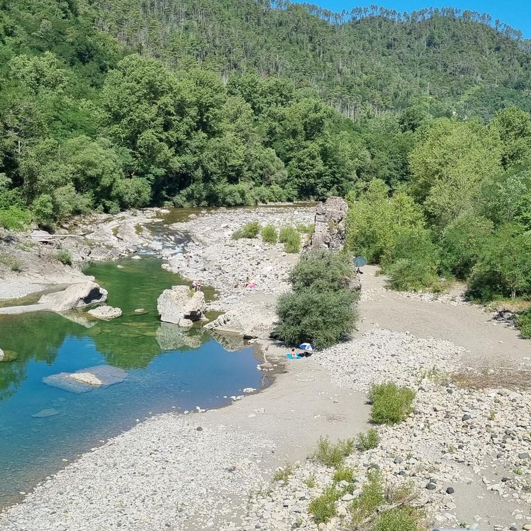
Best mountain peaks around Brugnato are found within the Val di Vara, a region characterized by rolling hills and mountains. This area, known for its dense vegetation and commitment to sustainable agriculture, offers a natural landscape for exploration. The surrounding mountains provide opportunities for hiking and offer panoramic views of the Ligurian hinterland. Brugnato serves as a base for accessing these diverse natural features.
Best mountain peaks around Brugnato
- The most popular mountain peaks is Rocca Gaibana, a summit…
Last updated: May 18, 2026
Rocca Gaibana
Highlight • Summit
Translated by Google •
Tip by

Monte Croce
Highlight • Summit
Translated by Google •
Tip by

Sign up now to discover places like this
Get recommendations on the best single tracks, peaks, & plenty of other exciting outdoor places.
Sign up for free
Monte Albereto
Highlight • Summit
Translated by Google •
Tip by

Trail 152: Quattro Strade – Monte Beverone
Highlight (Segment) • Trail
Translated by Google •
Tip by

Oratory of Santa Croce
Highlight • Religious Site
Translated by Google •
Tip by

Start today with a free account
Your next adventure awaits.
Login or Signup
Tips from the Community

The Oratory of Santa Croce is located on the mountain of the same name at 621 m above sea level, near the important natural ridge road, very popular in the year 1000, in particular by the Genoese in their expansion towards Eastern Liguria and for this reason also called Via dei Genovesi. The construction period and the first description of the Oratory of Santa Croce can be deduced from the text relating to the apostolic visit made by Mons. Peruzzi in 1584.
4
0

When you're pedaling uphill, stop and look!
0
0

The path that leads to Monte Beverone is dirt and practicable without too many problems, it will lead you to a place with a wonderful view.
1
0

Unfortunately no view from this point. It is best to continue hiking to Monte Rossola, from which you have a wonderful view!
1
0

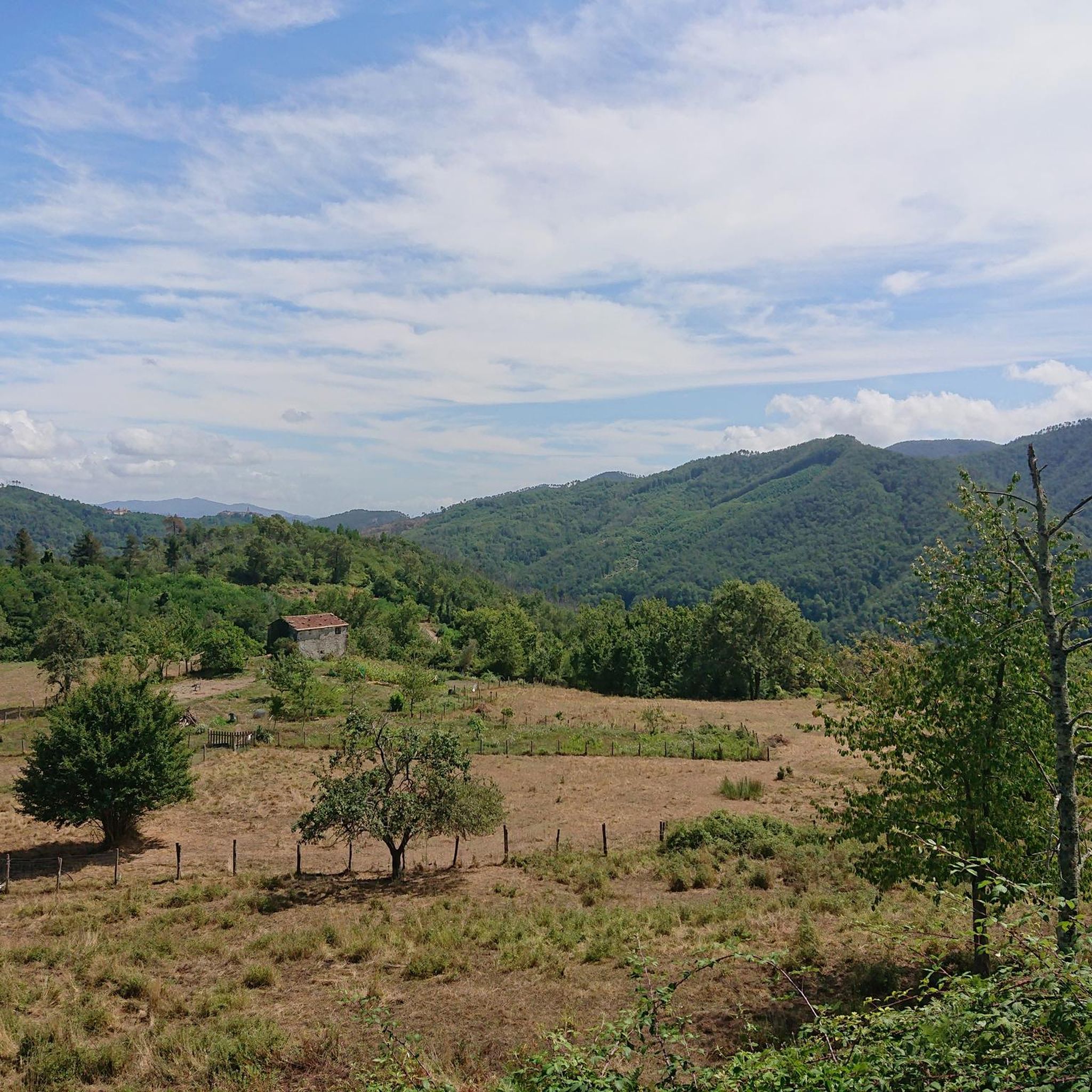
The 610 meter high Monte Croce offers a good view from Liguria to Tuscany. Next to the stone building, a cross marks the summit
0
0

Sterrato Beverone - Stadomelli
0
0
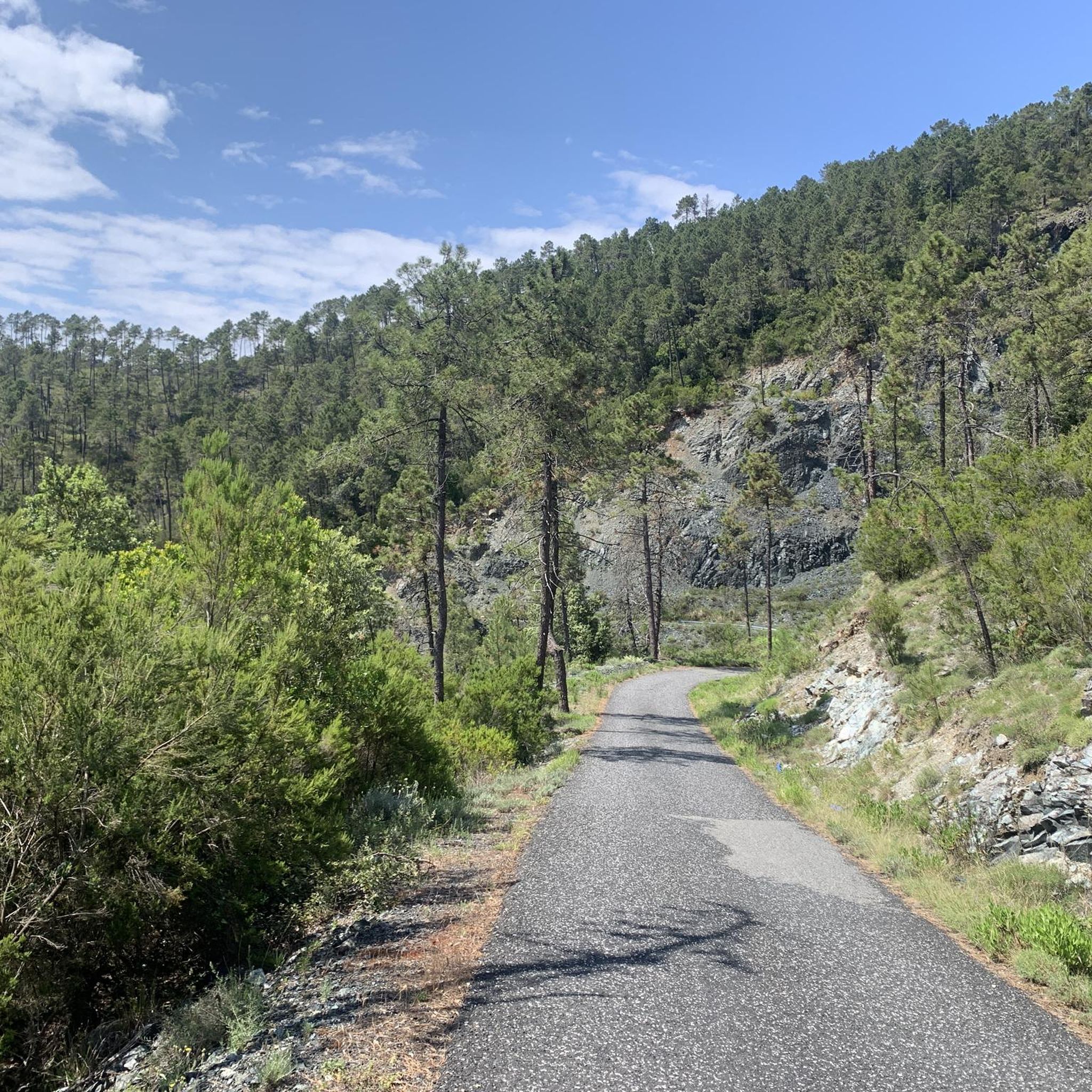
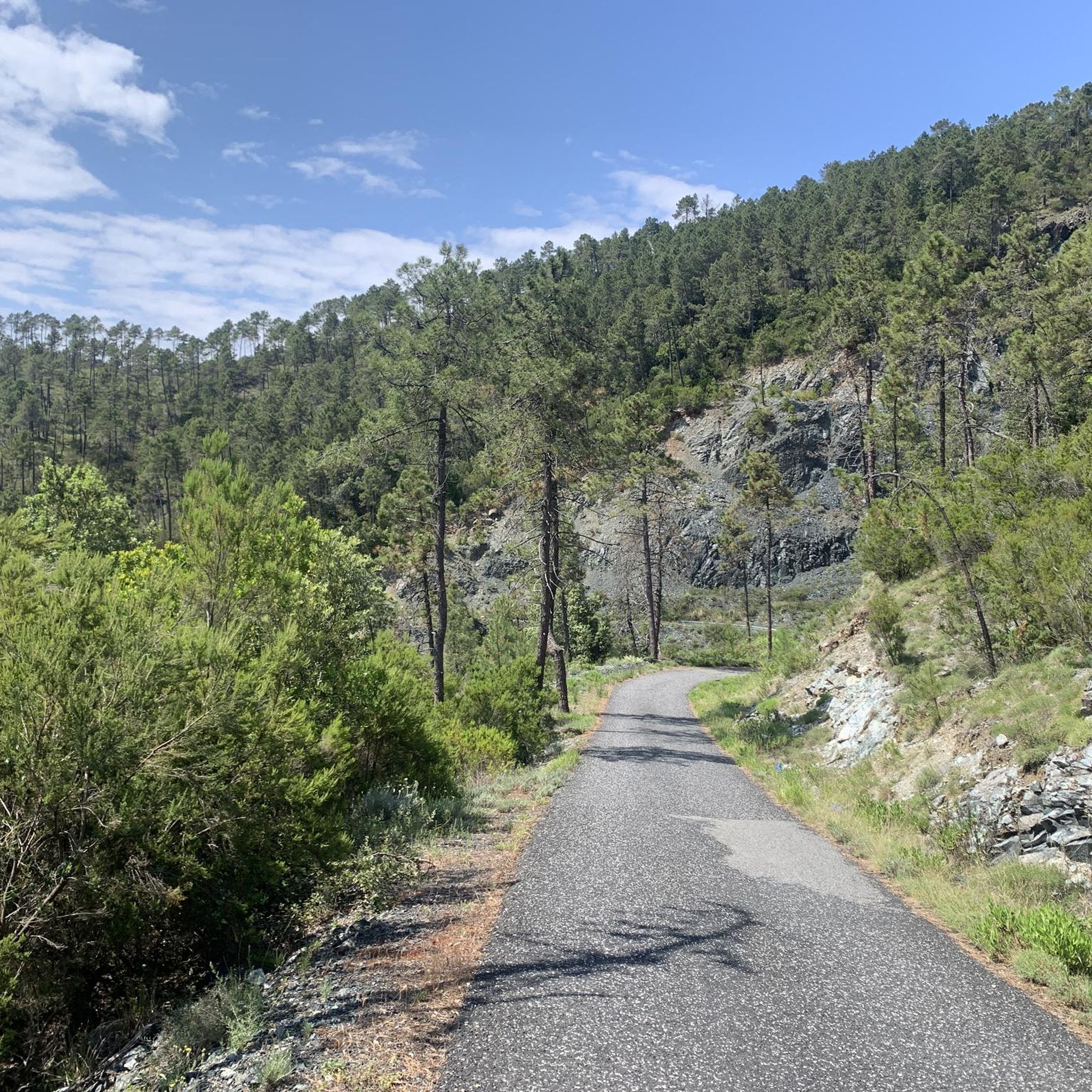
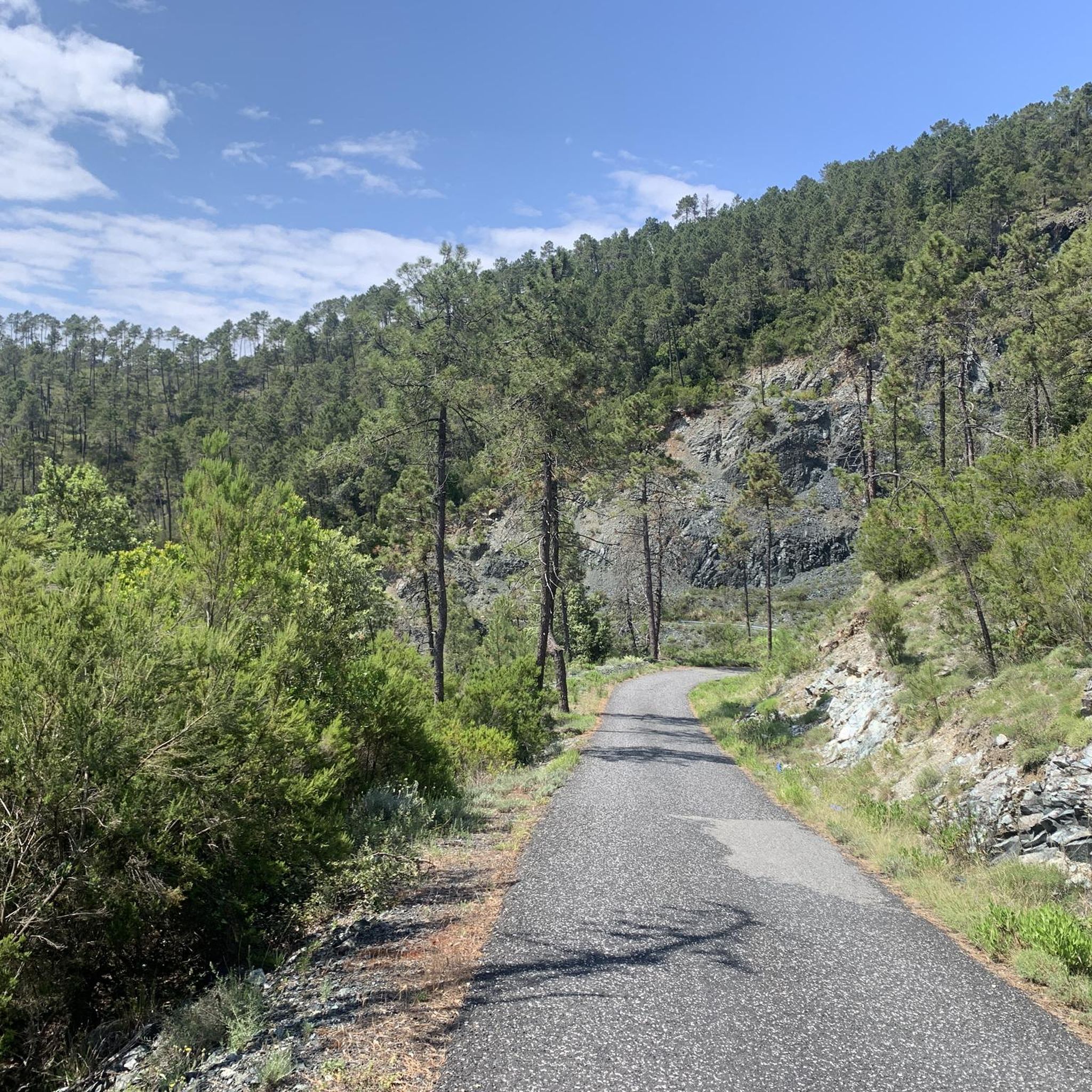
Asphalted panoramic road from Soviore towards Pignone and the Val di Vara
1
1
Frequently Asked Questions
What are the most notable mountain peaks in the Val di Vara region around Brugnato?
While Brugnato itself is nestled in the valley, the surrounding Val di Vara is bordered by several significant peaks. These include Monte Gottero (1640 m), the highest peak in the Val di Vara, offering expansive panoramic views. Other notable mountains are Mount Zatta (1407 m), where the Vara river originates, Mount Zuccone (1423 m), and Mount Porcile (1249 m). These peaks contribute to the region's stunning natural landscape and provide diverse hiking opportunities.
What kind of views can I expect from the peaks around Brugnato?
The peaks around Brugnato offer breathtaking vistas of the lush Val di Vara, known as the "greenest valley in Italy." From Monte Croce, for example, you can enjoy views stretching from Liguria all the way to Tuscany. Monte Albereto also provides panoramic views, with scenic stops along its asphalted ascent. For an even more expansive panorama, consider continuing your hike from Rocca Gaibana to Monte Rossola.
Are there historical or cultural sites on or near the mountain peaks?
Yes, the region combines natural beauty with rich history. For instance, the Oratory of Santa Croce is located on a mountain of the same name at 621 meters above sea level. This religious building and historical site sits near an important natural ridge road, historically known as the Via dei Genovesi. The Val di Vara itself is dotted with medieval villages, castles, and Romanesque churches, offering a glimpse into the area's cultural heritage.
What types of hiking trails are available around Brugnato's peaks?
The mountains surrounding Brugnato offer a variety of hiking trails, ranging from easy walks to more challenging treks with significant elevation gain. Many paths climb the hills and can even connect to the villages of the Cinque Terre. For detailed hiking routes, including options like the "Brungato, Bozzolo e Pieve di Zignago – loop tour" or the "Historic mule tracks from Beverone to Gruzza di Veppo," you can explore the Hiking around Brugnato guide.
Are there any easy or beginner-friendly mountain routes near Brugnato?
While some trails involve significant elevation, the region does offer paths suitable for various skill levels. For example, the path leading to Monte Beverone is a dirt path that is generally practicable without too many problems, leading to a wonderful viewpoint. When planning, look for routes described as moderate or easy in the Hiking around Brugnato guide.
What other outdoor activities can I do near the mountain peaks around Brugnato?
Beyond hiking, the diverse terrain around Brugnato is excellent for other outdoor pursuits. You can find numerous options for running, with trails like the "Running loop from Beverino" detailed in the Running Trails around Brugnato guide. Road cycling is also popular, with routes such as "Vernazza and Monterosso from Pignone" available in the Road Cycling Routes around Brugnato guide.
What makes the Val di Vara, where Brugnato is located, unique?
The Val di Vara is renowned as the "Organic Valley" due to its strong commitment to sustainable agriculture and organic farming practices, particularly in the Alta Val di Vara. This dedication to environmental consciousness, combined with its dense vegetation, rolling hills, and tranquil atmosphere, makes it a unique and peaceful escape from more crowded coastal areas.
Can I access any of the peaks by road?
Yes, some peaks offer road access for convenience. Monte Albereto, for instance, is accessible via an asphalted panoramic road from Soviore towards Pignone and the Val di Vara, allowing for scenic stops during the ascent.
What is the best time to visit the mountains around Brugnato?
The region's mountains are generally enjoyable throughout much of the year. Spring and autumn offer pleasant temperatures for hiking and exploring the lush landscapes. Summer can be warm, but higher elevations provide cooler air. Winter hiking is also an option, though conditions may vary, especially on higher peaks like Monte Gottero.
Are there any specific landmarks or features to look out for on the peaks?
Yes, several peaks feature distinct landmarks. Monte Croce is marked by a cross and a stone building at its summit. The Oratory of Santa Croce is a historical religious building on its namesake mountain. Additionally, Monte Albereto is recognized as a natural monument.
What do visitors appreciate most about the mountain peaks around Brugnato?
Visitors frequently highlight the stunning natural landscapes, the tranquility, and the panoramic views. The opportunity to escape into nature, explore diverse trails, and discover historical sites like the Oratory of Santa Croce are often mentioned. The region's commitment to sustainability as the "Organic Valley" also adds to its appeal.
Most popular attractions around Brugnato

Get inspired with the komoot mobile app


Explore more
See even more amazing summits around Brugnato with these guides:
