Top 4 Waterfalls around Fahrni
Waterfalls around Fahrni, located in the Bernese Oberland, offer diverse natural experiences. The region is characterized by its rugged landscapes, deep gorges, and rivers that create various waterfall formations. While Fahrni itself is a smaller community, its proximity to the Zulg and Aare rivers, as well as the Rotachental, provides access to several notable cascades and water features. The area is known for its hiking opportunities that lead to these natural attractions.
Best waterfalls around Fahrni
- The most popular waterfalls…
Last updated: June 28, 2026
Cholerenschlucht Gorge
Highlight • Gorge
Translated by Google •
Tip by

Zulgschwelle
Highlight • Waterfall
Translated by Google •
Tip by

Sign up now to discover places like this
Get recommendations on the best single tracks, peaks, & plenty of other exciting outdoor places.
Sign up for free
Confluence of the Zulg and Aare
Highlight • River
Translated by Google •
Tip by

Cholerenschlucht Waterfalls
Highlight (Segment) • Gorge
Translated by Google •
Tip by

Lower Eriz Valley: Linden to Burghalten Scenic Road
Highlight (Segment) • Cycleway
The road leads halfway along the Zulg and crosses a beautiful waterfall.
The route is very low traffic
Translated by Google •
Tip by

Sign up for free to discover even more waterfalls around Fahrni.
Sign up for free
Already have an account?
Start today with a free account
Your next adventure awaits.
Login or Signup
Tips from the Community

The upper part is more demanding than the lower
0
0

That was really mega beautiful
0
0

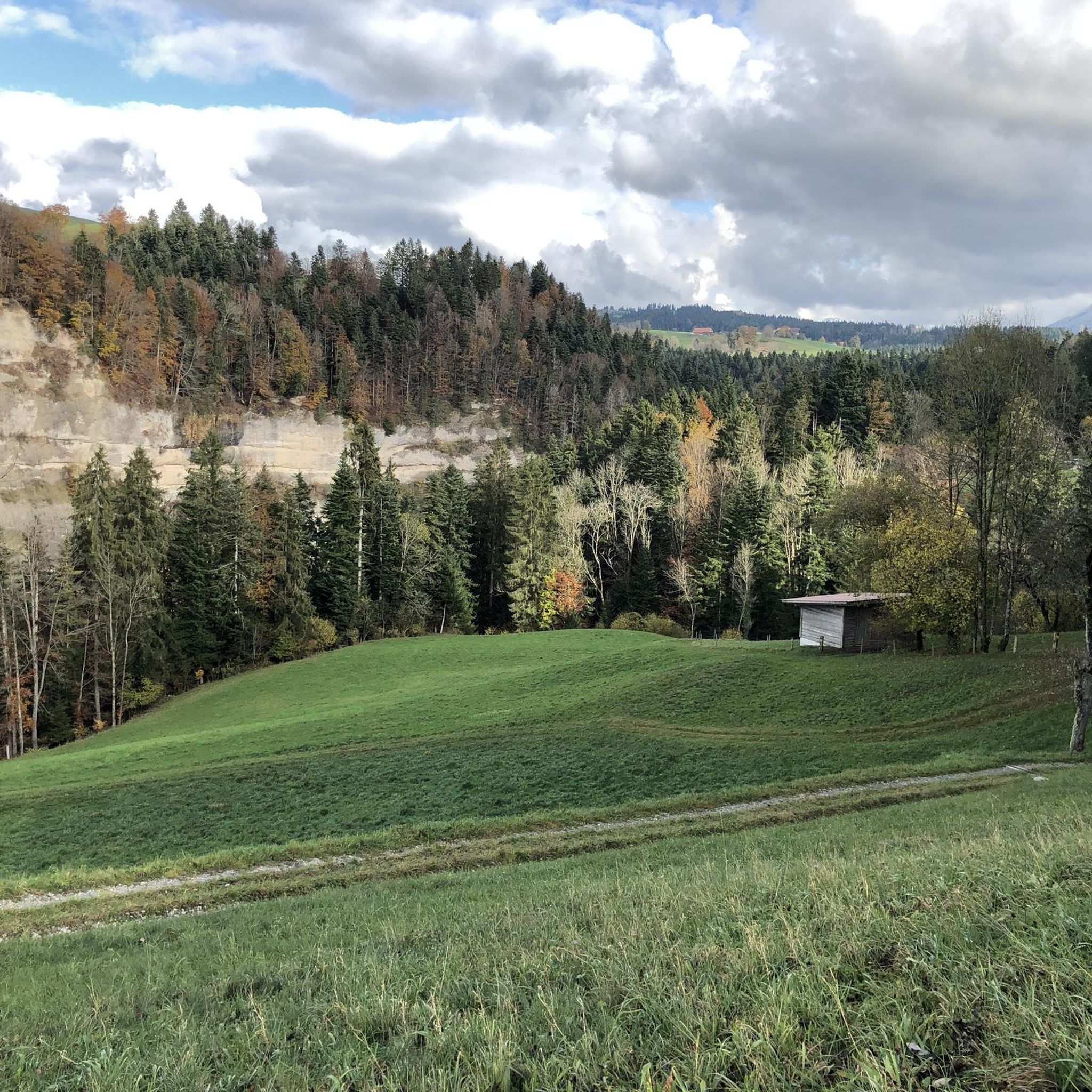
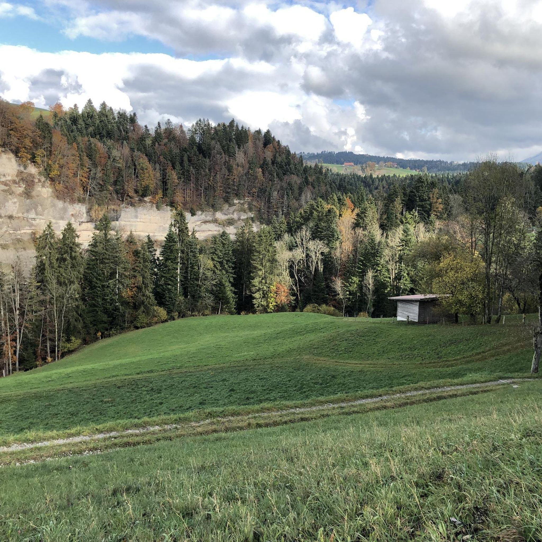
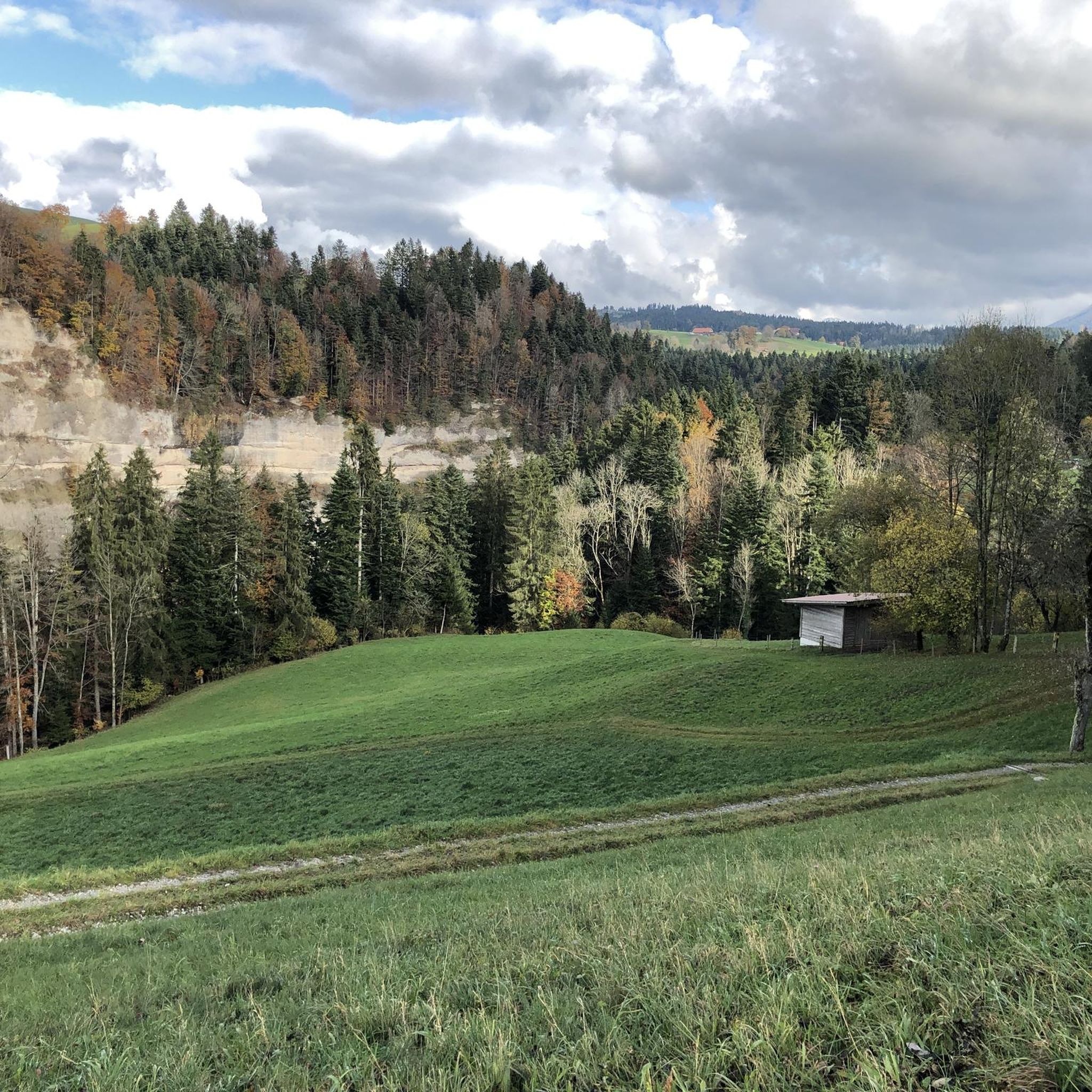
At the Zulgspitz, the Zulg, which rises high up at the Grüenebergpass, flows into the Aare. It flows down over two sills, which creates an interesting picture.
2
0

Discover the Aare and the cycle paths between Thun and Bern by bike 😎
0
0

In summer, not only a popular photo spot, but thanks to a well-equipped barbecue area, a Mecca for open-air cooking
0
0

The Choleren Gorge, which was created by the erosion of the Cholerbach. With steep cliffs, thundering waterfalls and winding paths, it offers hikers and nature lovers a spectacular experience. Wooden bridges and stairs enable safe exploration of this fascinating natural setting. The name "Cholerenschlucht" is probably related to traditional charcoal burning. The Choleren Gorge used to be known for its charcoal kilns, where charcoal was produced. The name "Choleren Gorge" could thus refer to this historical activity. A second theory is that the term comes from the Latin word "colera" which means "bile" or "anger" and could refer to the wild waterfalls and the impressive nature of the gorge. A third theory holds that the name comes from the old Swiss German word "chole" meaning "little stream" or "little river".
0
0
Wonderfully beautiful, but sometimes quite steep gorge with a lot of potential for slipping. Good shoes recommended. Tip: If the ground is damp and wet, it is better to hike through the Choleren Gorge from bottom to top. When it's dry, it's easy to do on both sides. Some barbecue areas invite you to pause and linger. The countless waterfalls with their pools and the green of the gorge give the whole scenery a romantic touch.
0
0
Wonderfully beautiful, but sometimes quite steep gorge with a lot of potential for slipping. Good shoes recommended. Tip: If the ground is damp and wet, it is better to hike through the Choleren Gorge from bottom to top. When it's dry, it's easy to do on both sides. Some barbecue areas invite you to pause and linger.
0
0
Frequently Asked Questions
What are the most popular waterfalls and water features near Fahrni?
Visitors frequently enjoy the Confluence of the Zulg and Aare, a scenic spot popular for photography and open-air cooking. Another favorite is Zulgschwelle, where the Zulg river flows over two sills, creating an interesting visual and offering a nice place for swimming. The Rotache Gorge also features a waterfall and cool bathing spots for an adventurous experience.
Are there family-friendly waterfalls or water features around Fahrni?
Yes, several spots are suitable for families. The Confluence of the Zulg and Aare is a family-friendly viewpoint with barbecue facilities. Zulgschwelle is also known as a nice place for swimming, which can be enjoyable for families.
What kind of hiking trails can I find near the waterfalls in Fahrni?
The area around Fahrni offers various hiking opportunities. For instance, the Rotache Gorge is part of moderate hiking trails, providing rugged natural beauty and panoramic views. The Cholerenschlucht Gorge offers a more adventurous hike with steep sections and numerous waterfalls, best explored with good footwear.
What other outdoor activities can I do near the waterfalls in Fahrni?
Beyond hiking, the region around Fahrni is excellent for cycling and running. You can explore various MTB Trails around Fahrni, enjoy Running Trails around Fahrni, or try Gravel biking around Fahrni. The Lower Eriz Valley: Linden to Burghalten Scenic Road, which crosses a beautiful waterfall, is a low-traffic route suitable for cycling.
Are there any gorges with waterfalls near Fahrni?
Yes, Fahrni is known for its gorges with waterfalls. The Rotache Gorge offers an adventurous experience along the stream with a waterfall and bathing spots. The Cholerenschlucht Gorge is another notable gorge featuring steep cliffs, thundering waterfalls, and winding paths, providing a spectacular natural setting.
What makes the Rotache Gorge unique?
The Rotache Gorge is characterized by its deep Nagelfluh and sandstone formations and the Rotachen's distinctive warm, brownish water. It features a powerful waterfall, approximately 20 meters high, and offers a mystical ambiance with light filtering through the forest canopy, along with panoramic views of Thun, Lake Thun, and the Alps.
What are some of the larger, more famous waterfalls in the broader Bernese Oberland region, accessible from Fahrni?
While Fahrni itself is smaller, its location provides access to spectacular regional waterfalls. These include the multi-tiered Giessbach Falls on Lake Brienz, the subterranean Trümmelbach Falls in Lauterbrunnen Valley, and the iconic Staubbach Falls, one of Europe's highest free-falling waterfalls, also in Lauterbrunnen.
Can I find places to swim near the waterfalls in Fahrni?
Yes, there are spots suitable for swimming. Zulgschwelle is known as a nice place to swim. Additionally, the Rotache Gorge offers cool bathing spots along the stream.
What do visitors particularly enjoy about the waterfalls and water features around Fahrni?
Visitors appreciate the diverse natural experiences, from the rugged landscapes of the gorges to the serene beauty of river confluences. Many enjoy the opportunities for open-air cooking at spots like the Confluence of the Zulg and Aare, the refreshing swimming at Zulgschwelle, and the adventurous exploration of gorges like the Rotache Gorge.
Are there barbecue areas near the waterfalls?
Yes, the Confluence of the Zulg and Aare is a popular spot with a well-equipped barbecue area, making it a favorite for open-air cooking. The Cholerenschlucht Gorge also features some barbecue areas, inviting visitors to pause and linger.
What should I be aware of when visiting the Cholerenschlucht Gorge?
The Cholerenschlucht Gorge is wonderfully beautiful but can be quite steep and slippery, especially when wet. Good shoes are highly recommended. It's often easier to hike through the gorge from bottom to top if the ground is damp. When dry, it's accessible from both sides.
What is the best time to visit the waterfalls around Fahrni?
The waterfalls are generally beautiful throughout the warmer months, from spring to autumn, when hiking conditions are favorable. During summer, spots like Confluence of the Zulg and Aare are popular for photography and open-air cooking, and Zulgschwelle is ideal for swimming. Be cautious during thunderstorms in the Zulgtal/Eriz, as flood waves can occur.
Most popular attractions around Fahrni

Get inspired with the komoot mobile app


Explore more
Happy to travel a little further afield? Then browse these guides for the best waterfalls around Fahrni:
